Lower Manhattan: South Street Seaport
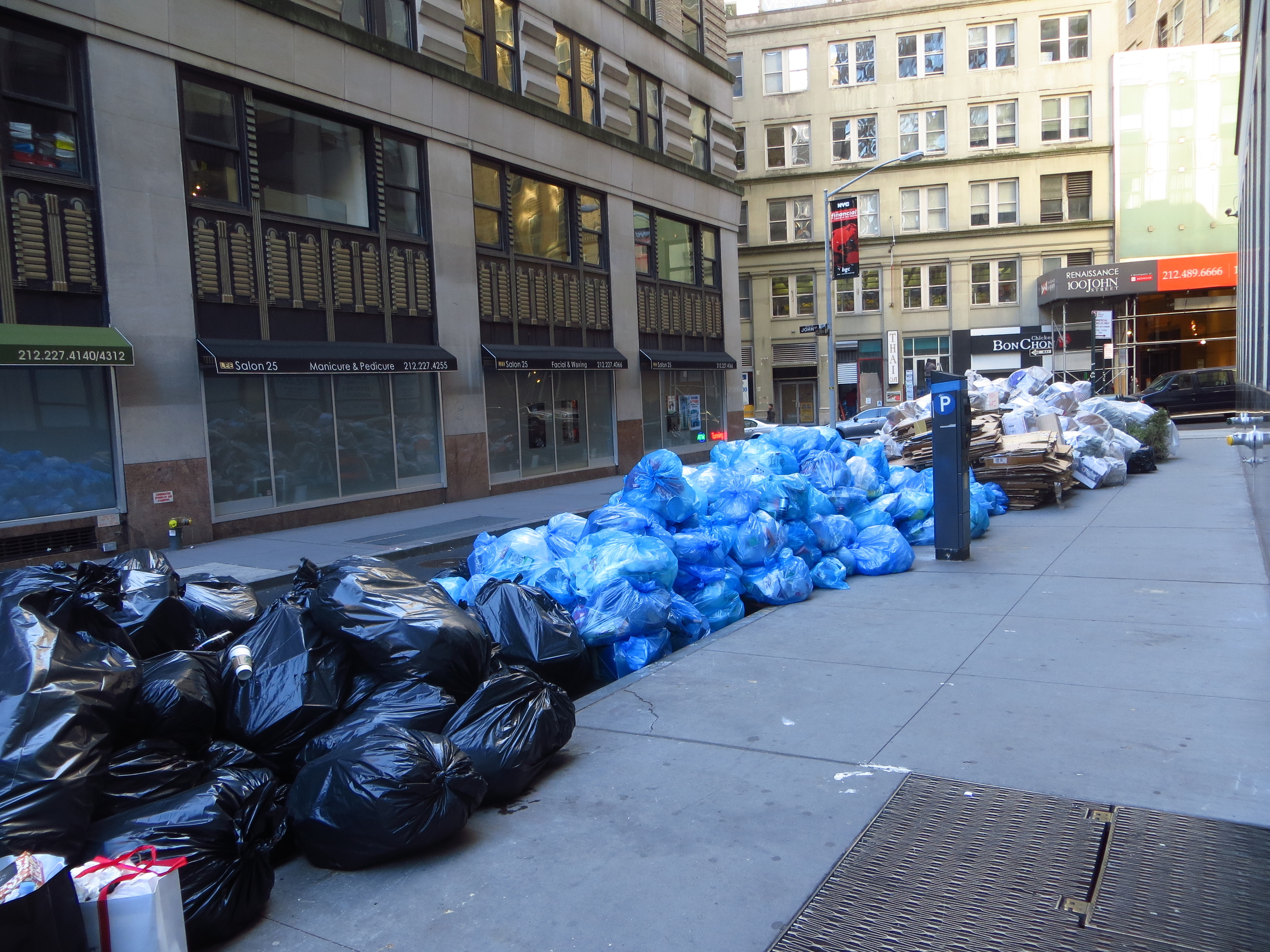
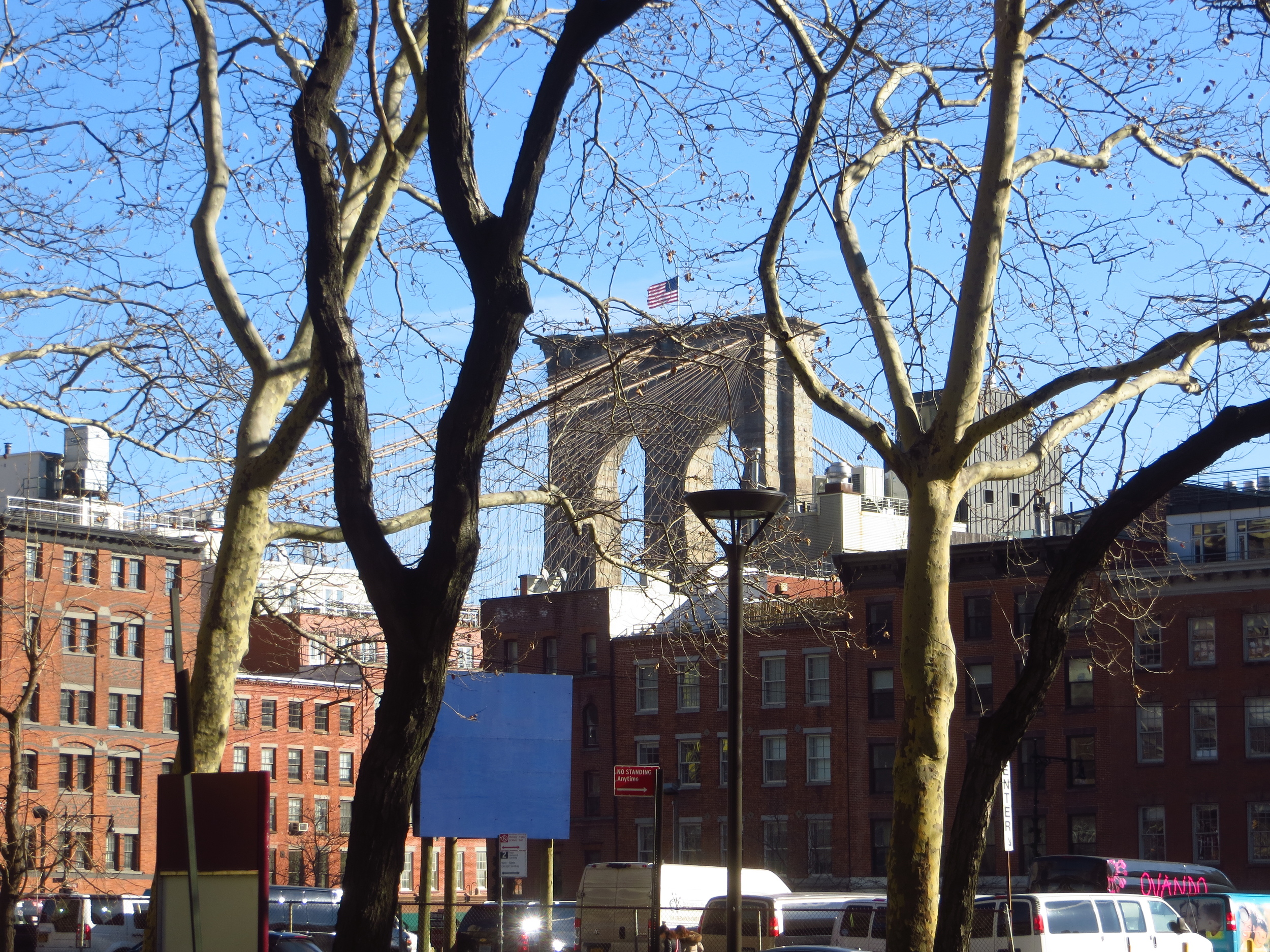
I made my first real foray into lower Manhattan on New Year's Day, walking about 5 miles in the blocks south of the Brooklyn Bridge. I would have put in a few more, but Oregon was playing in the Rose Bowl and, you know, priorities.

Today's walk (everything inside the red border)
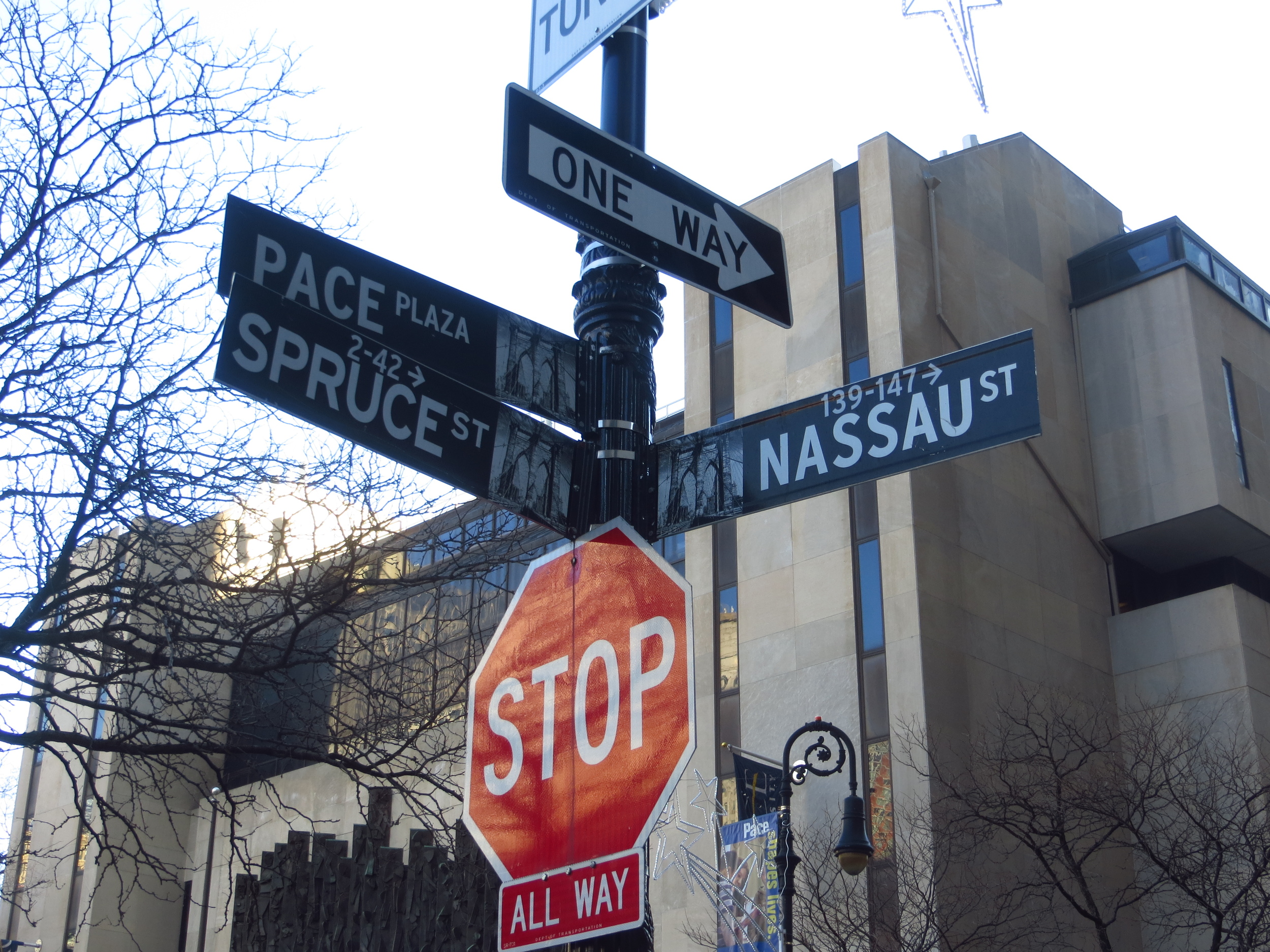
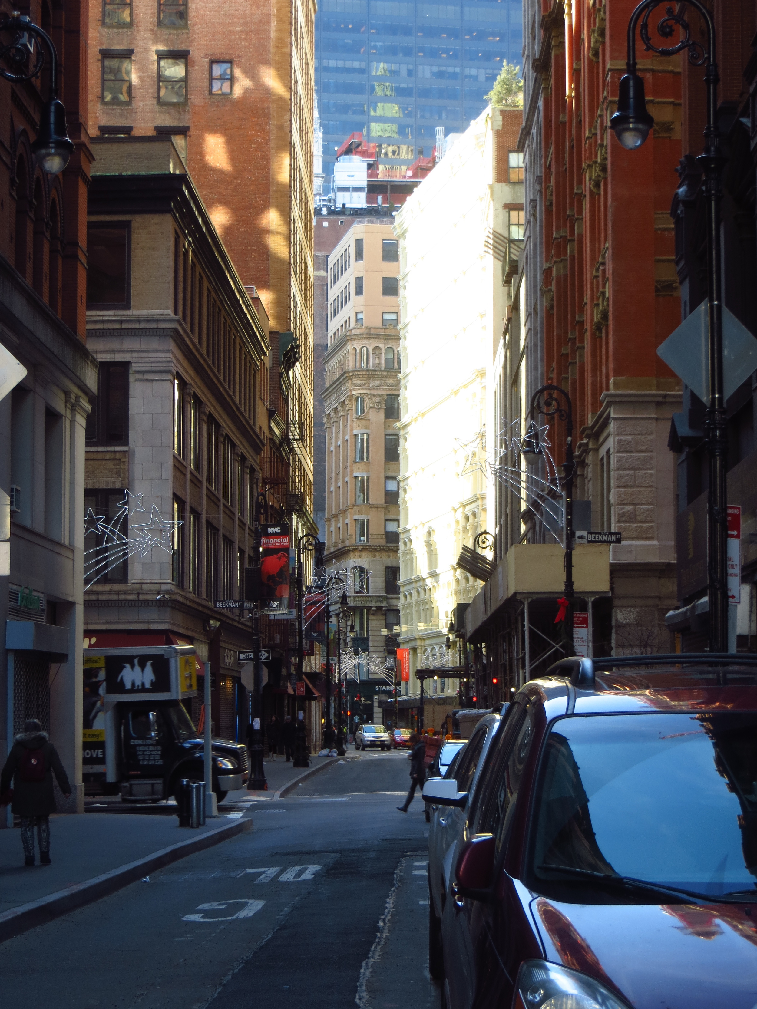
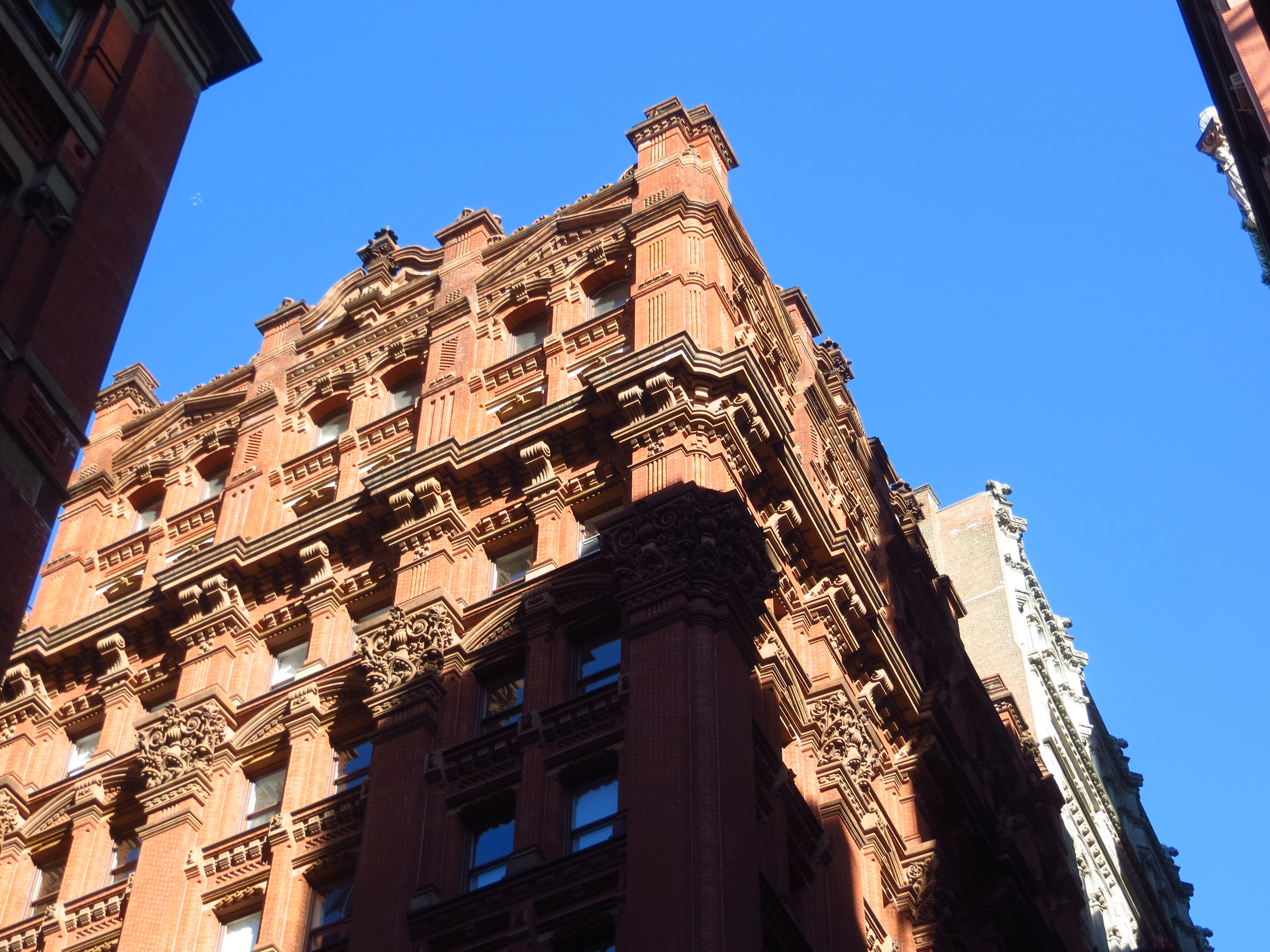
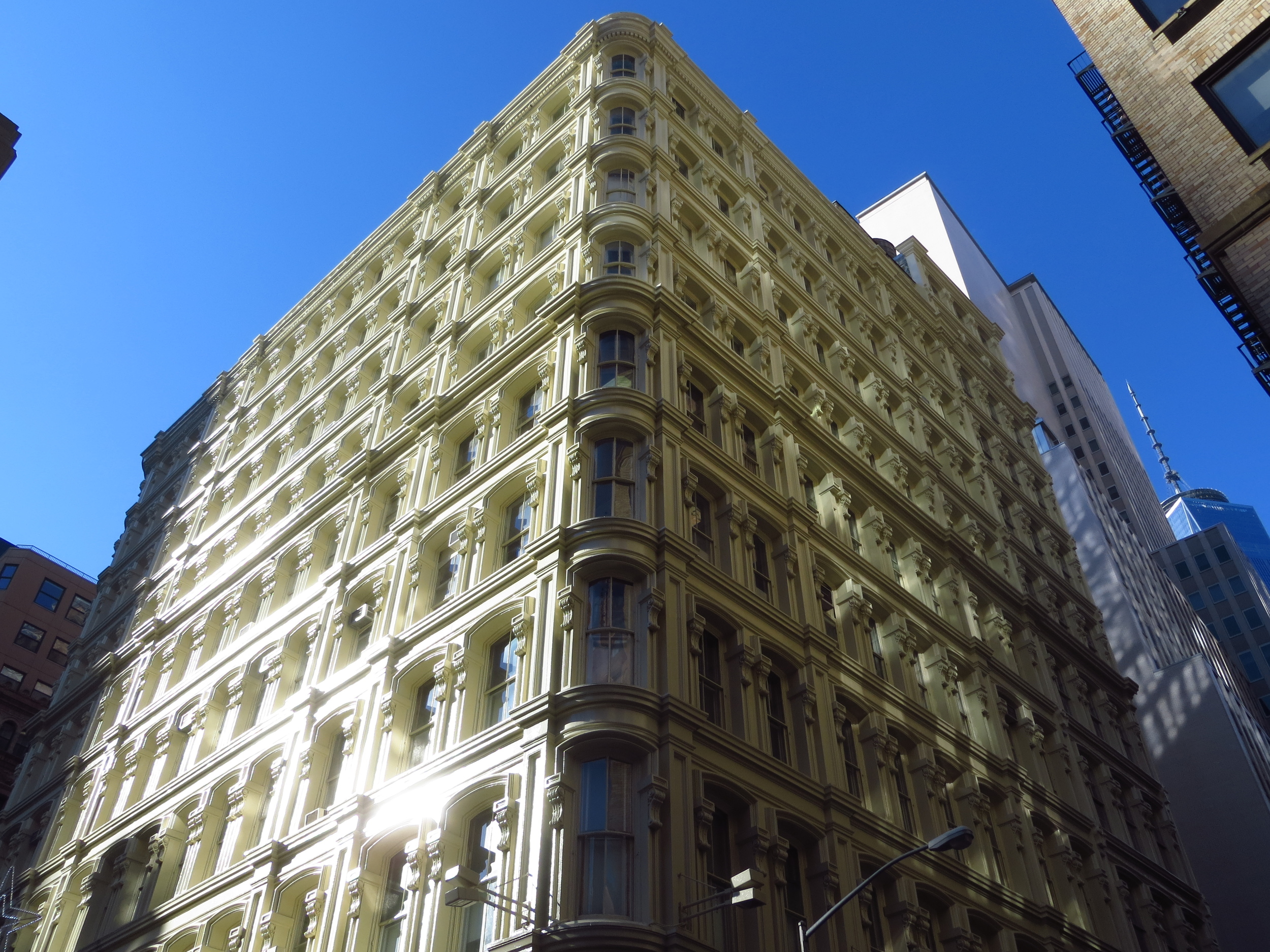
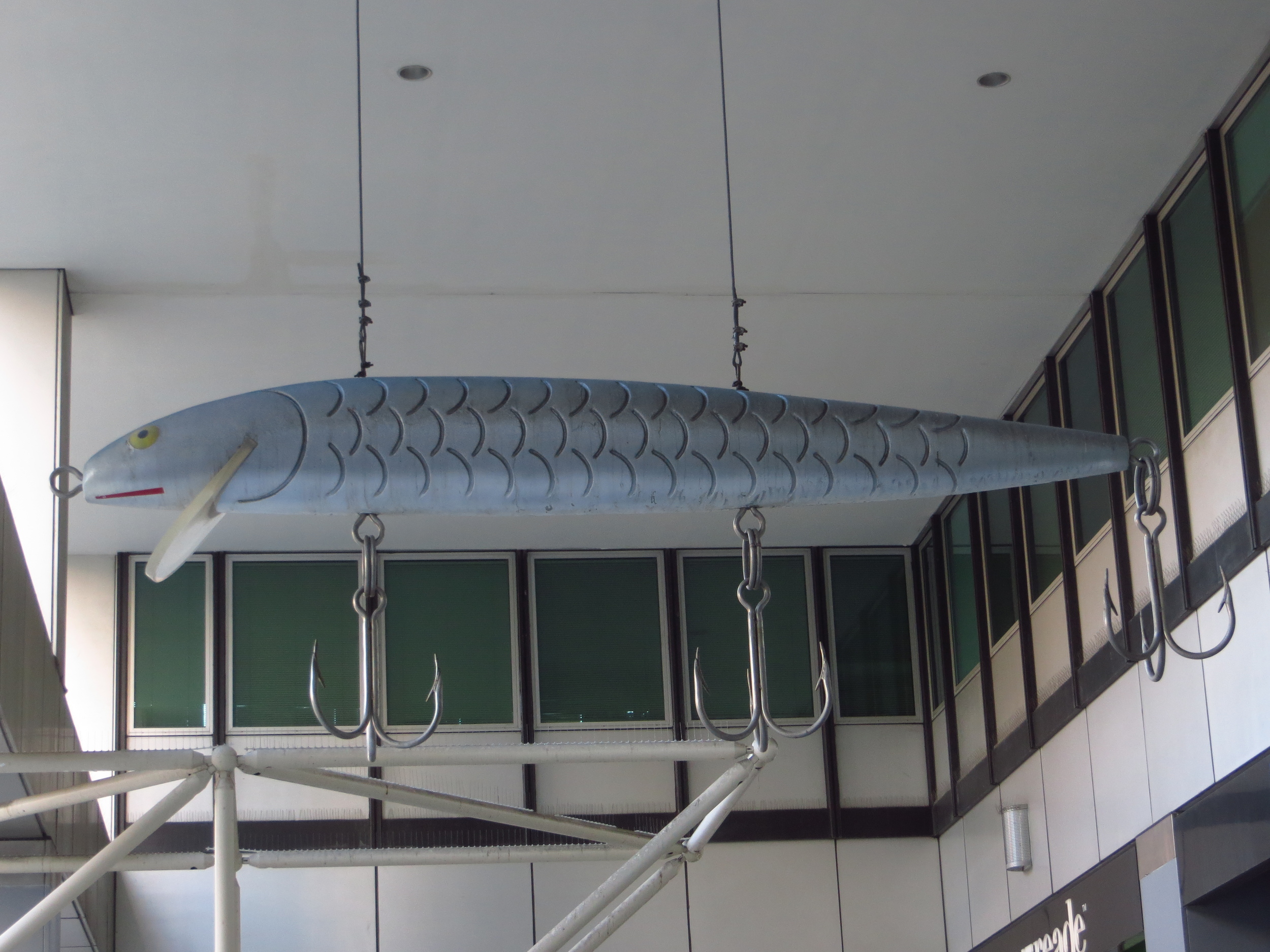
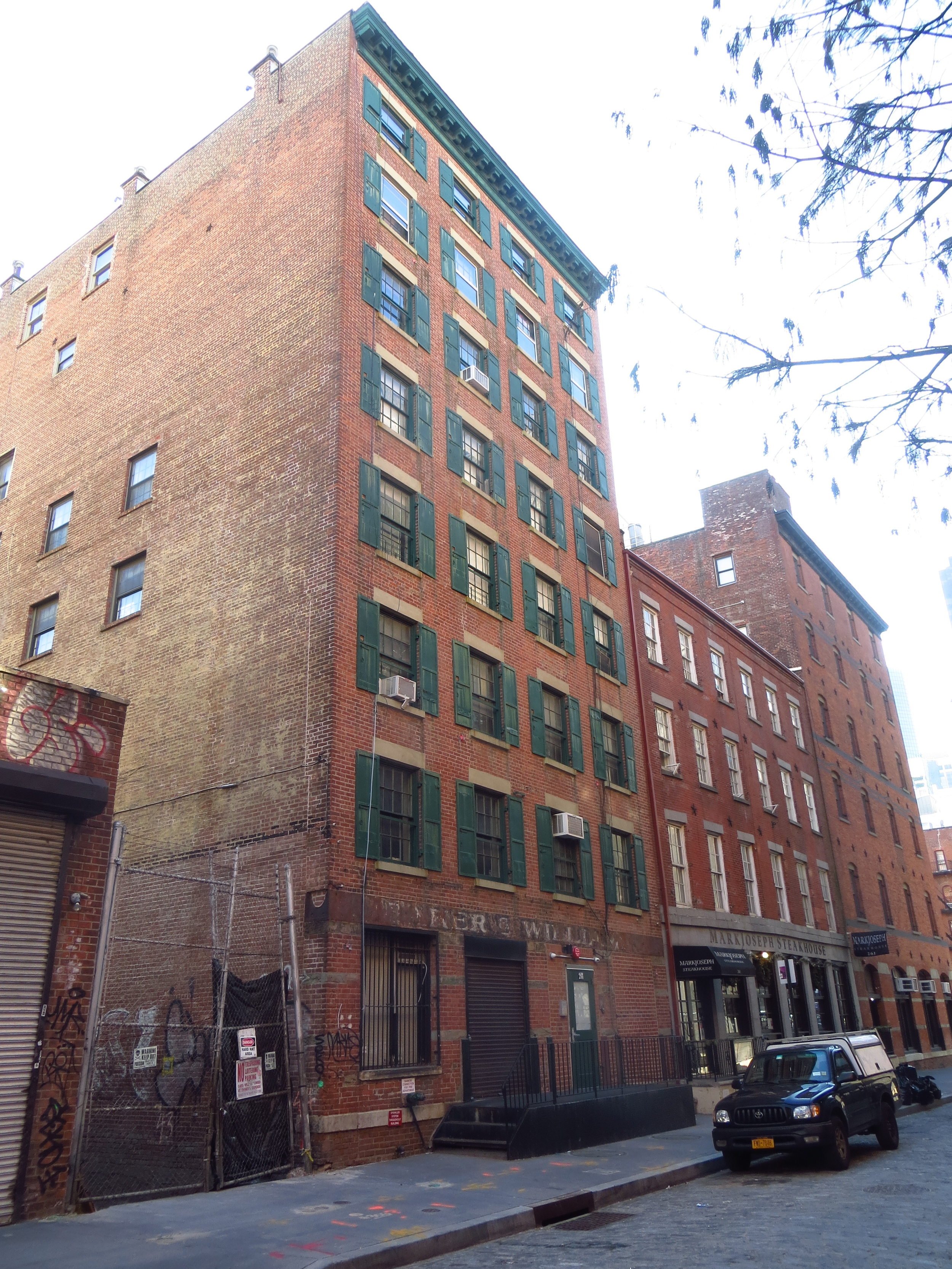
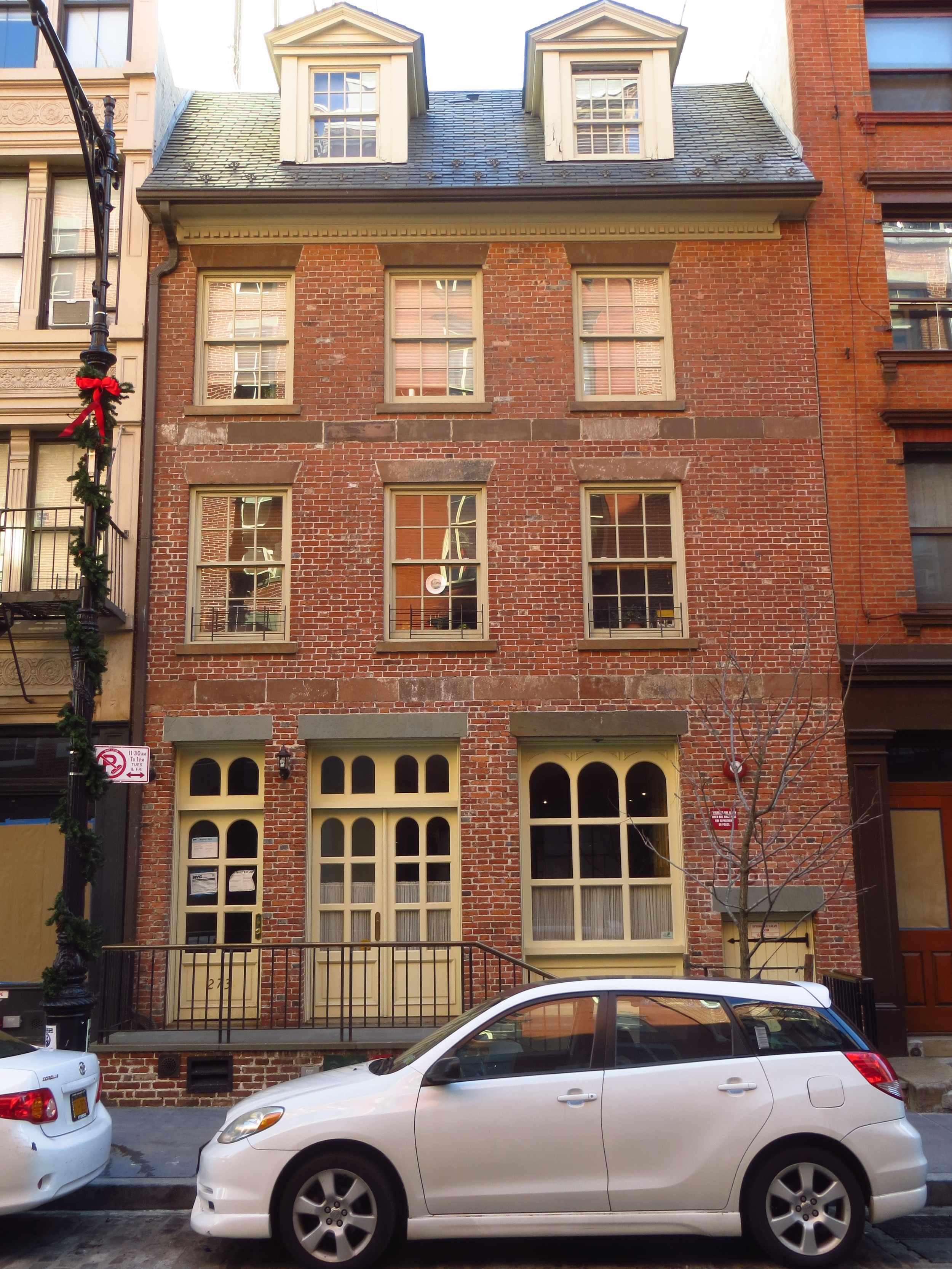
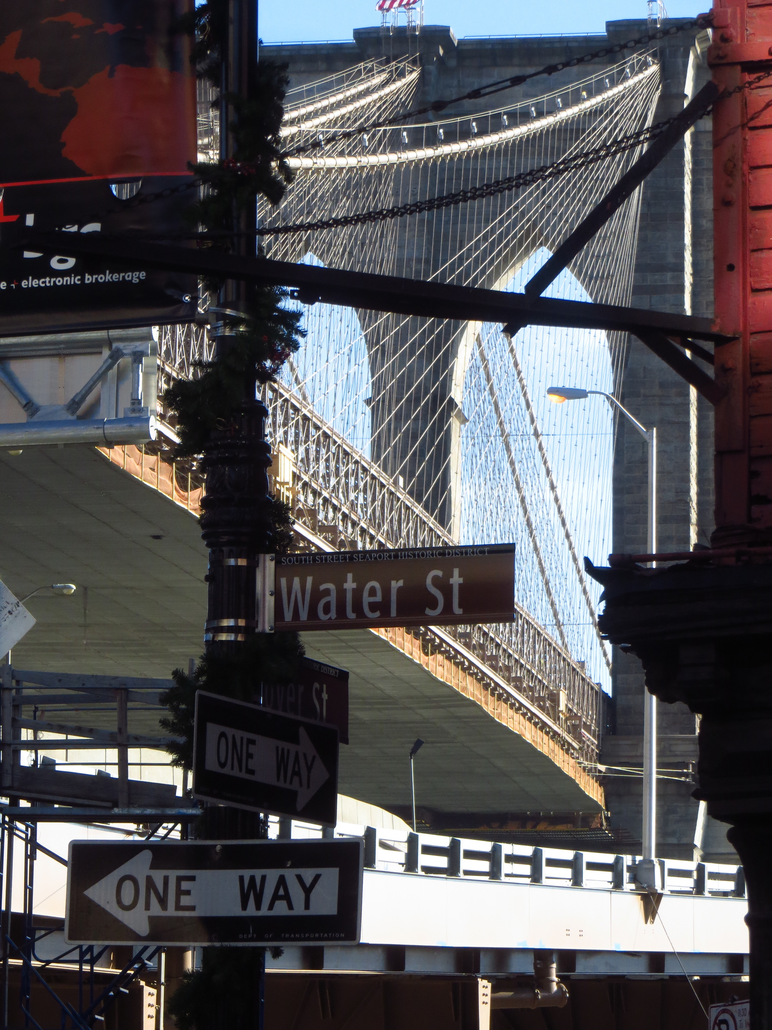
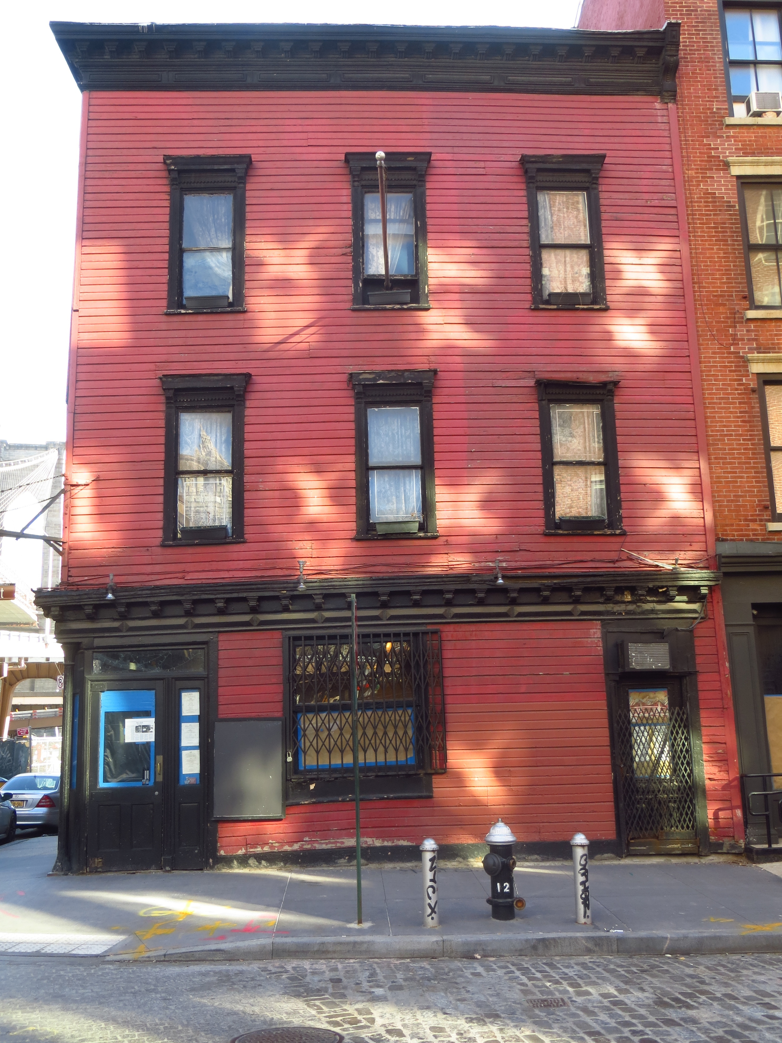
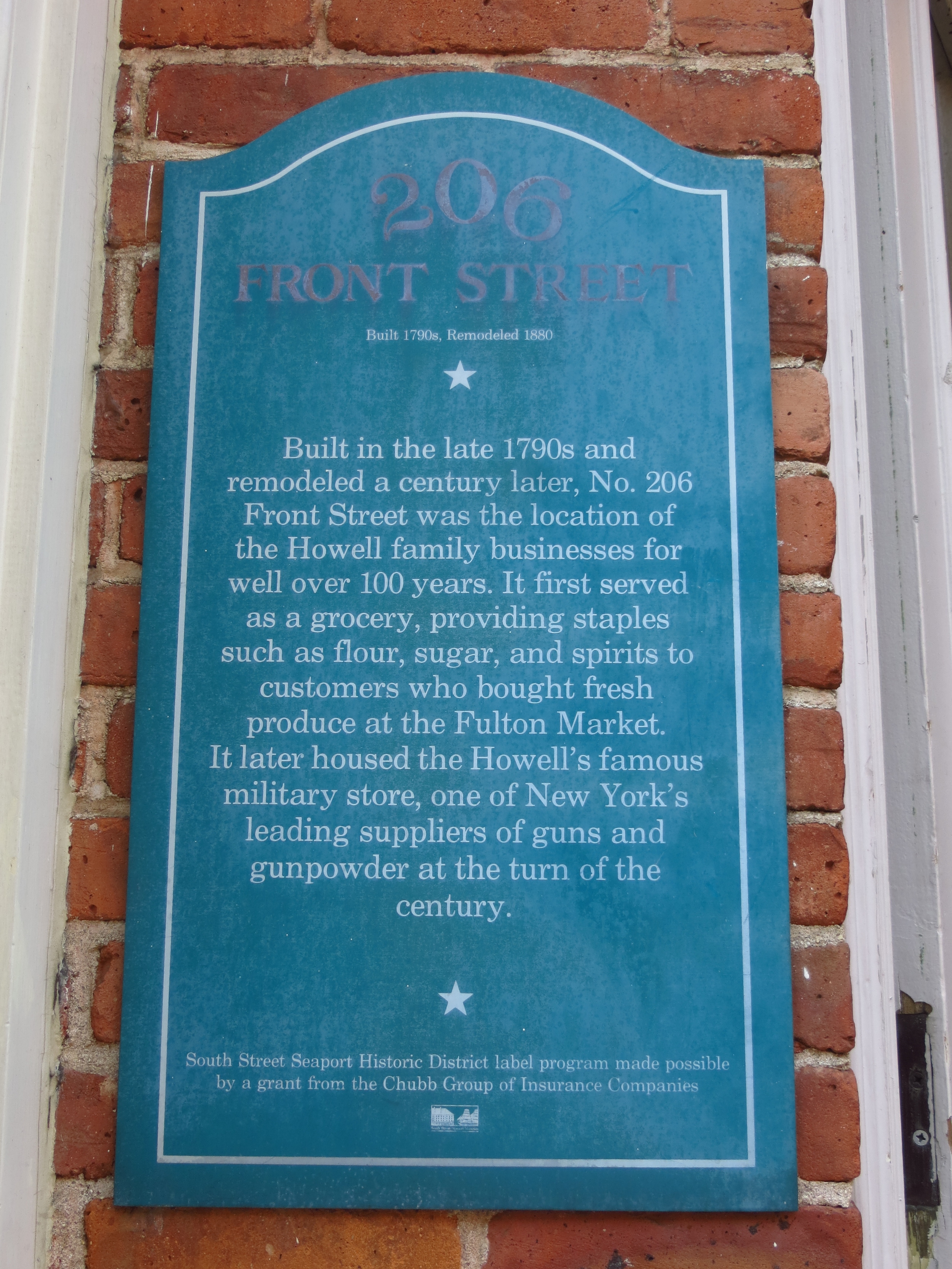
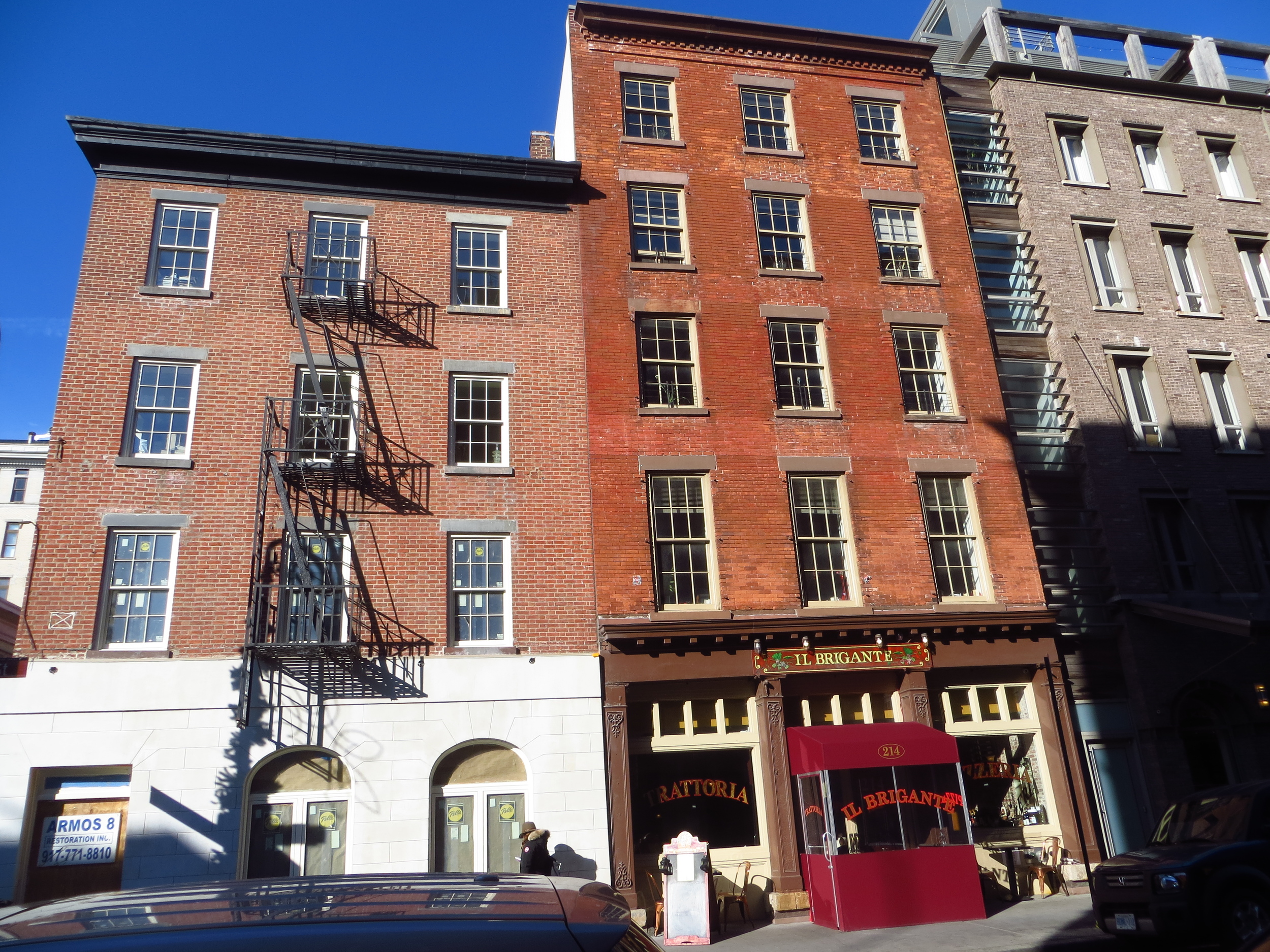
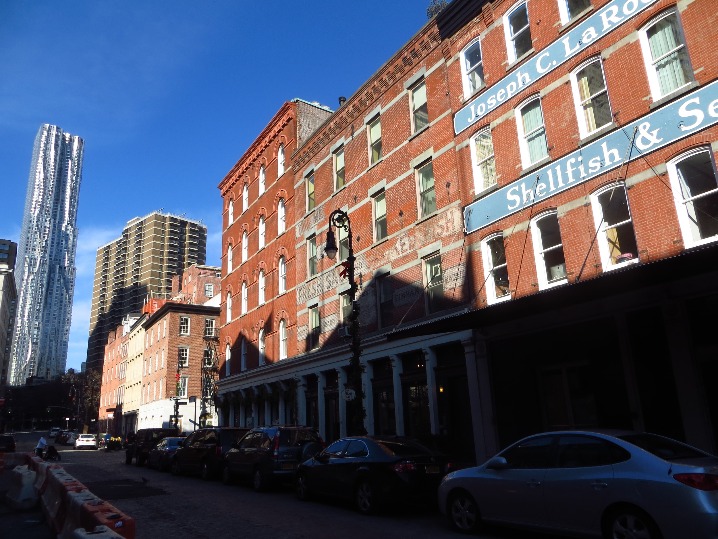
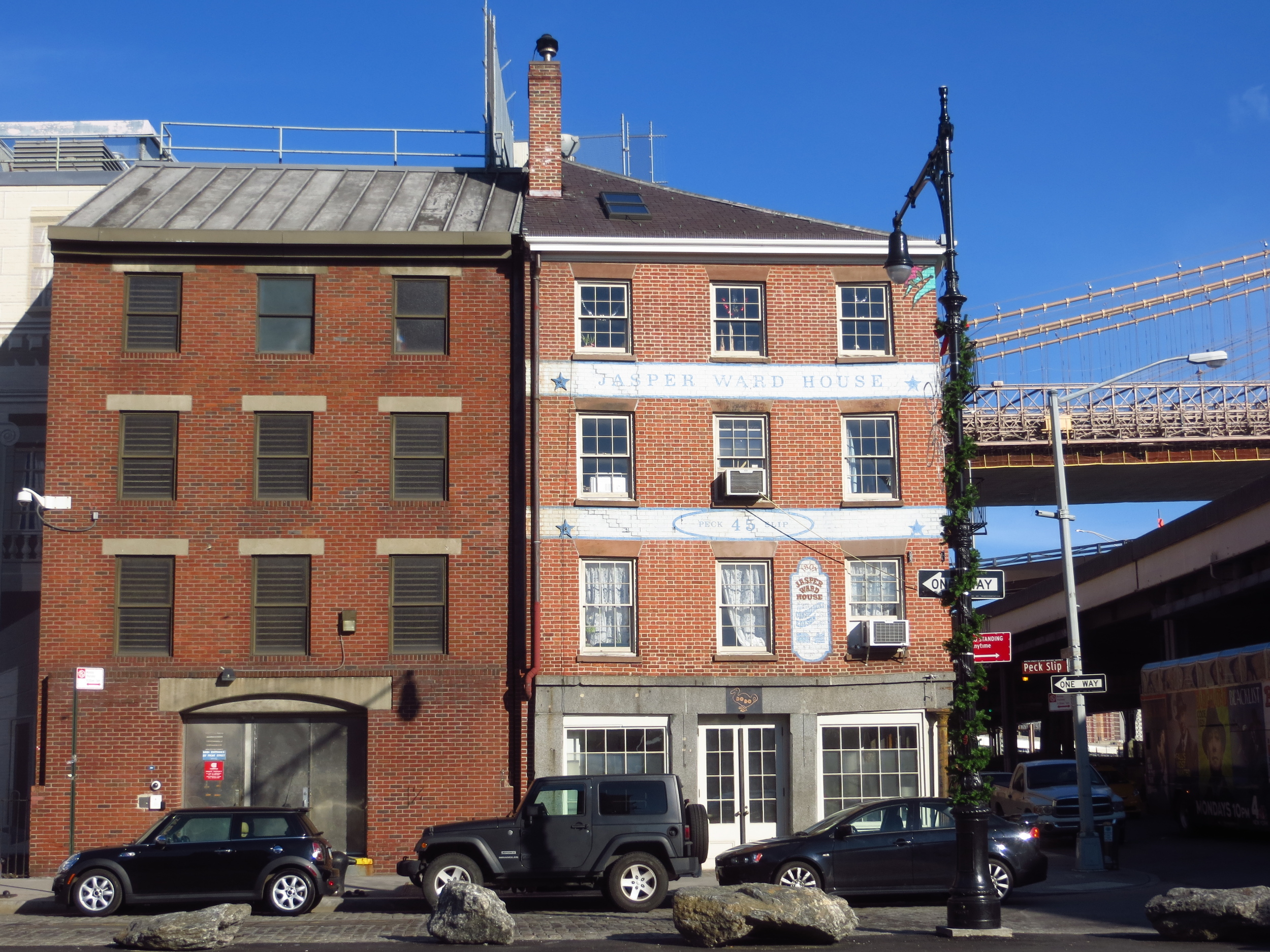
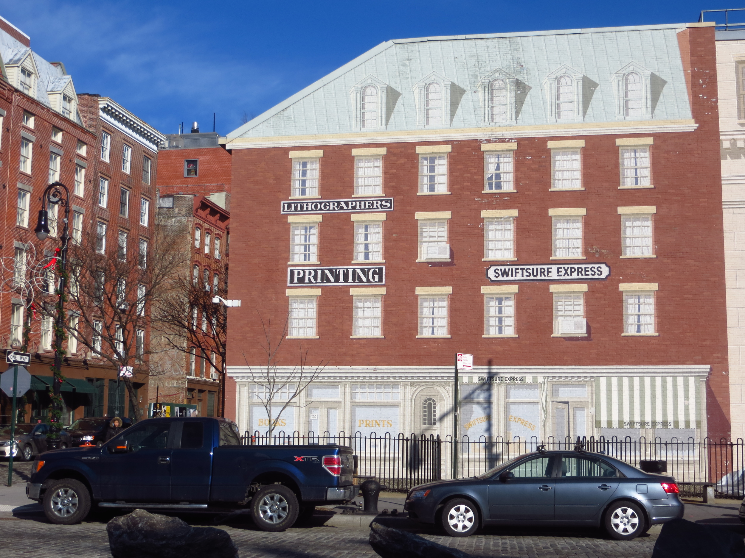
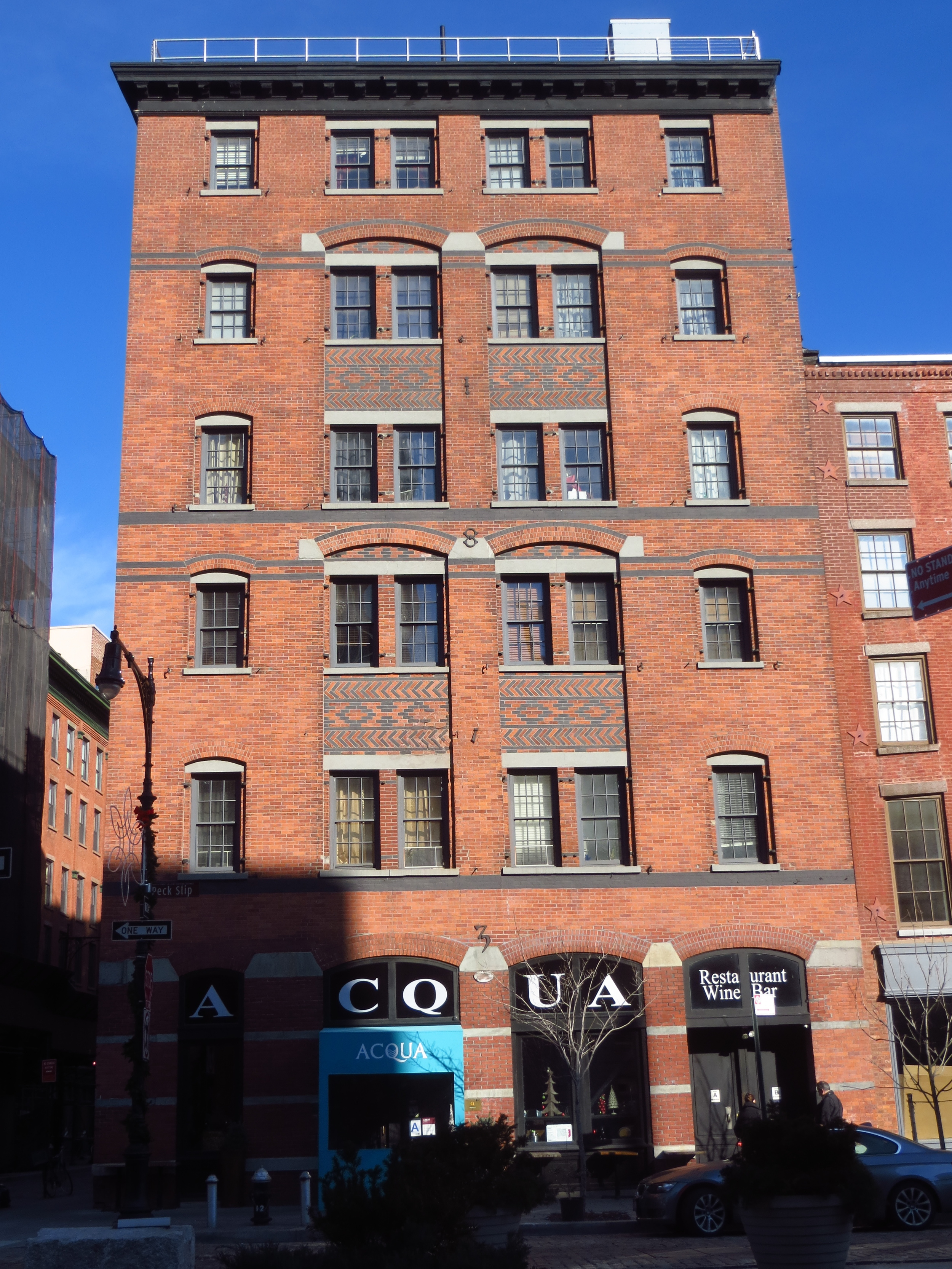
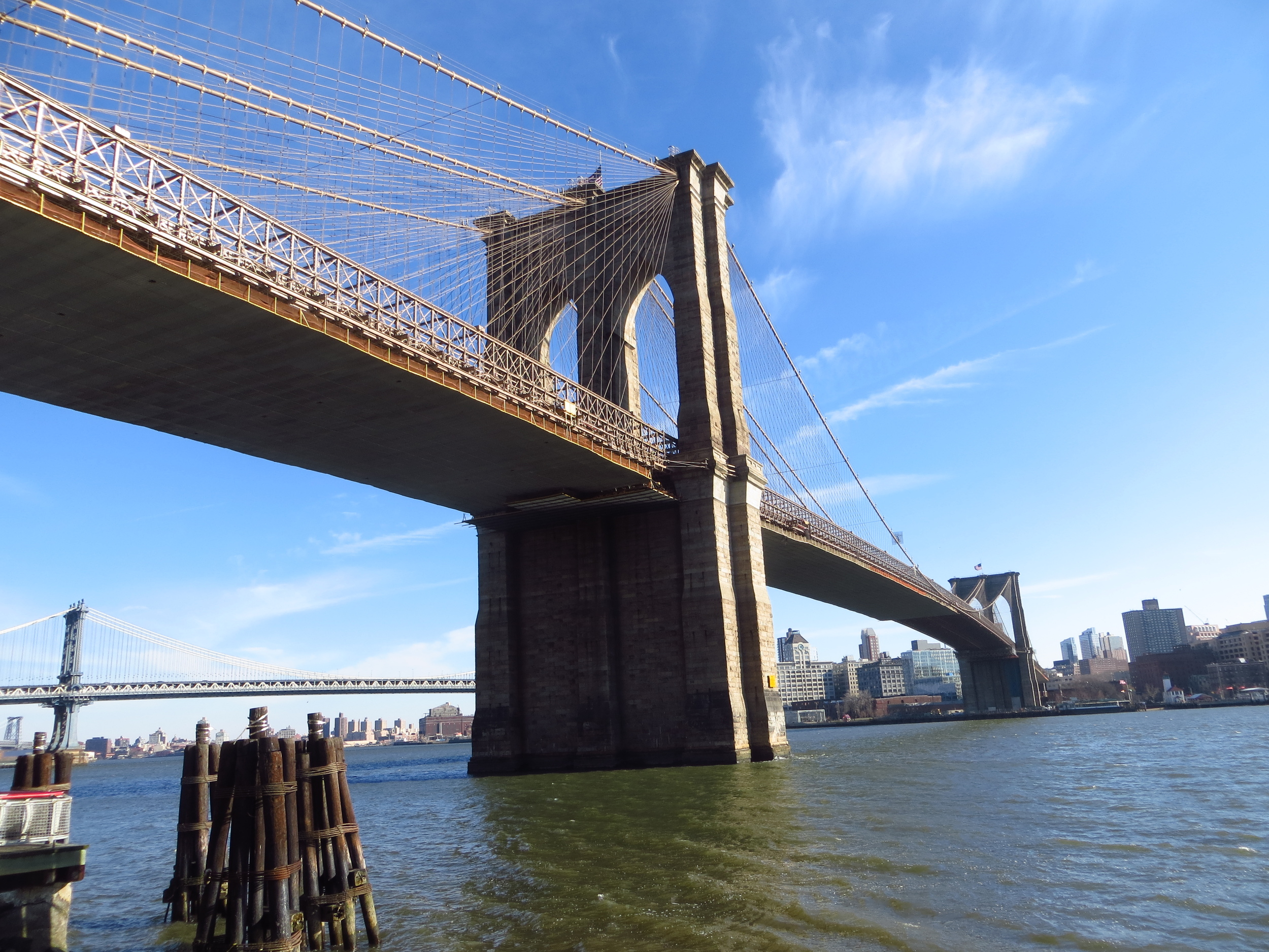
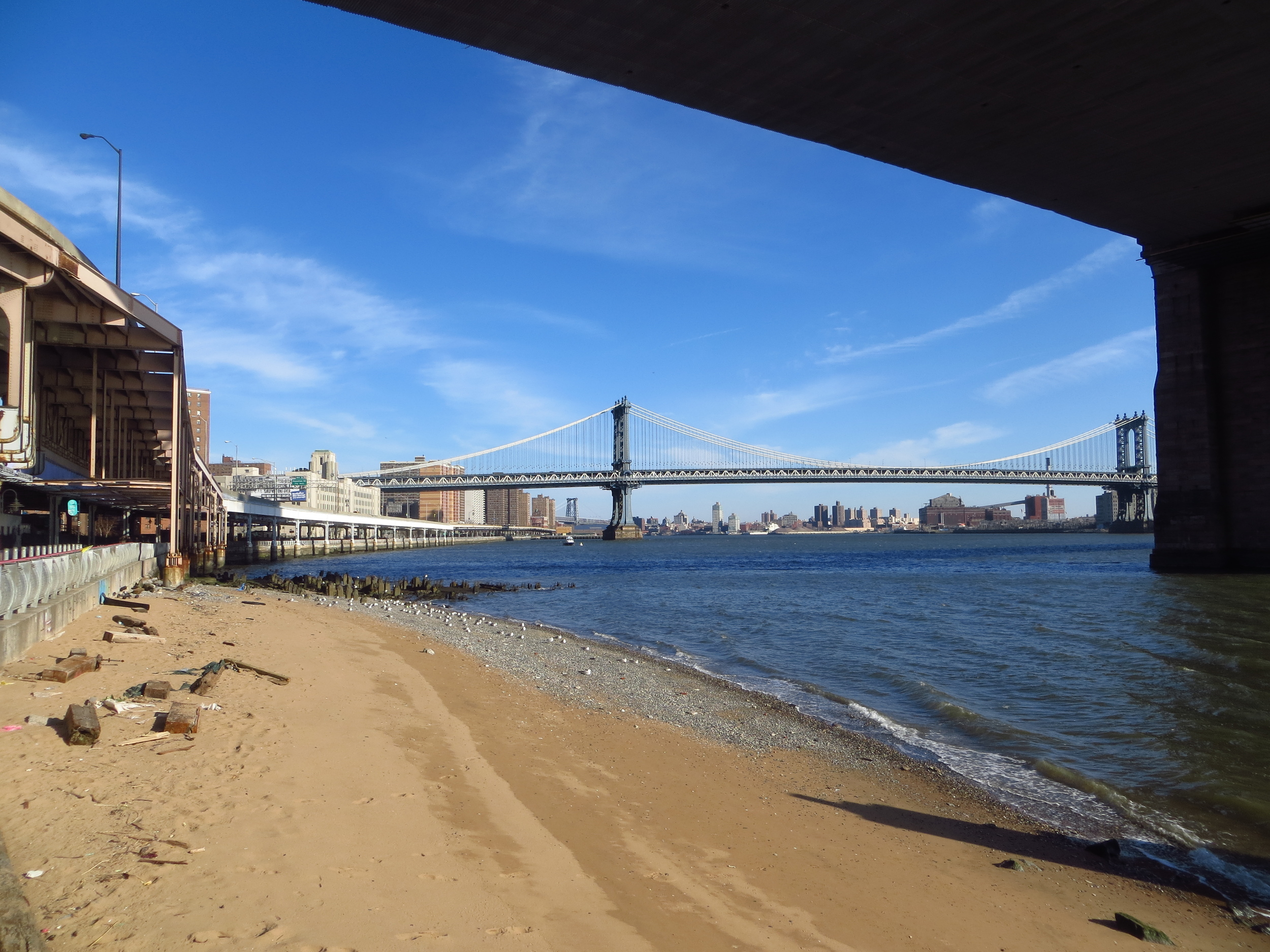
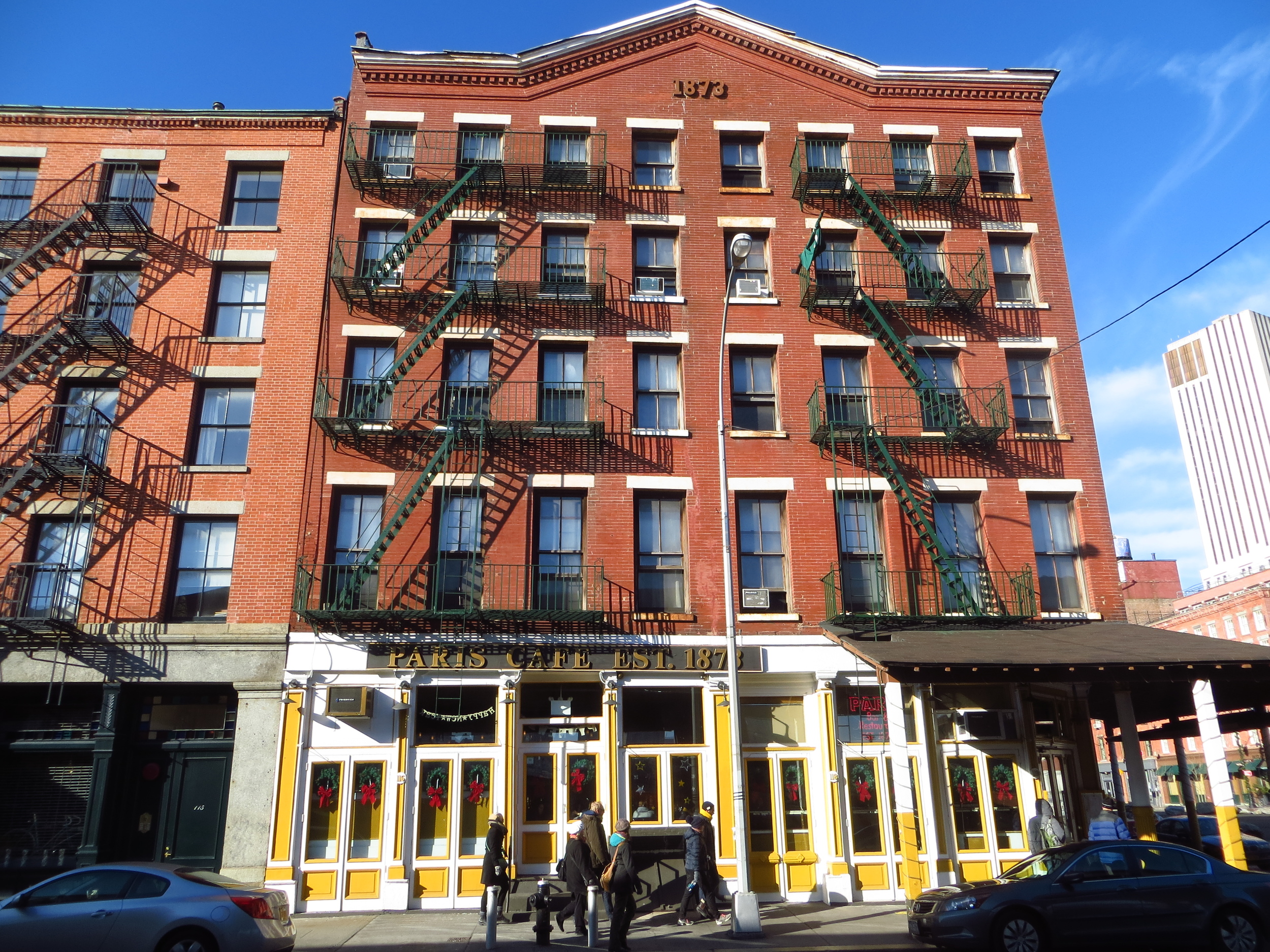
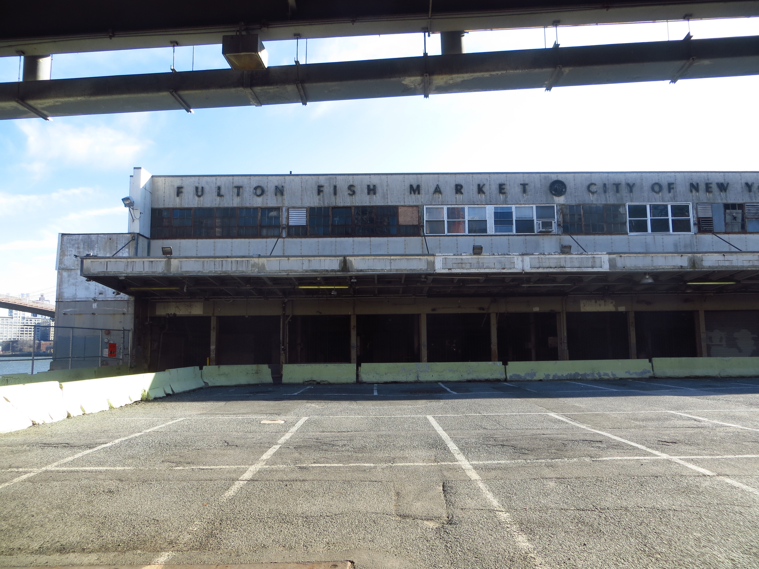
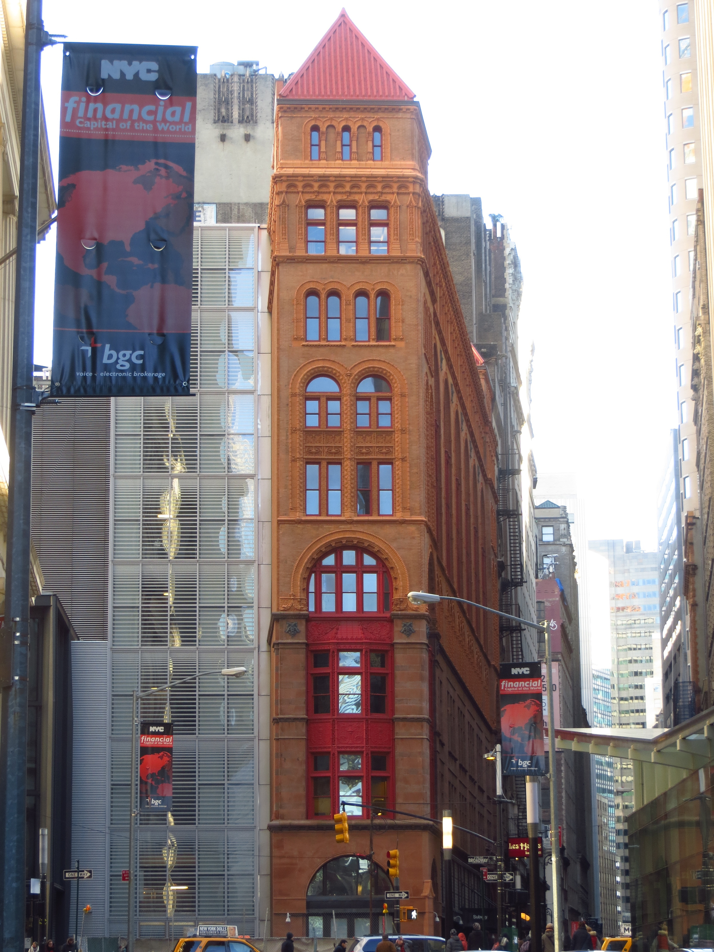
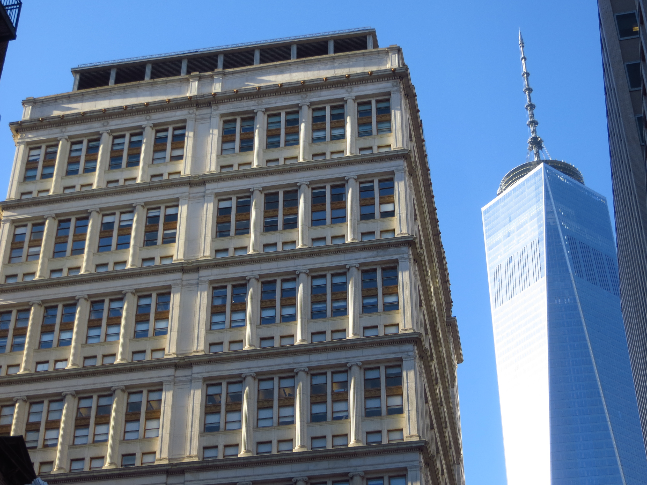
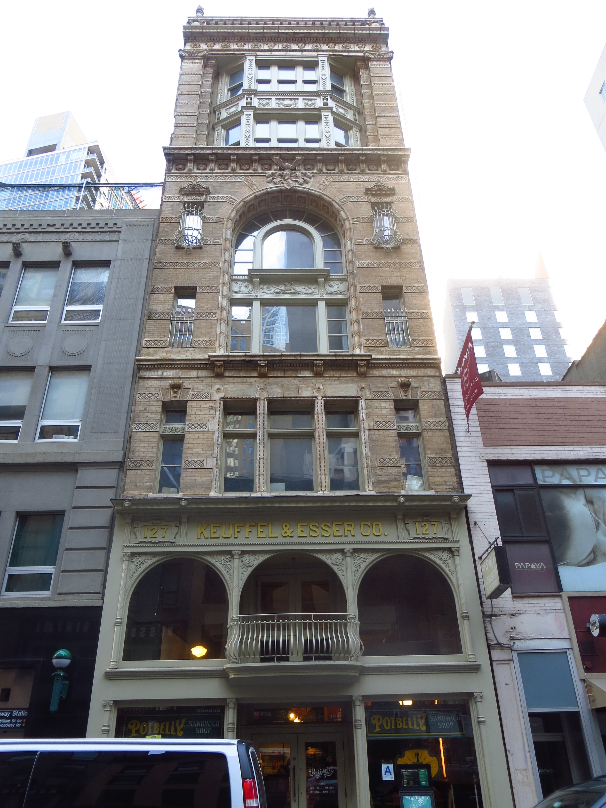
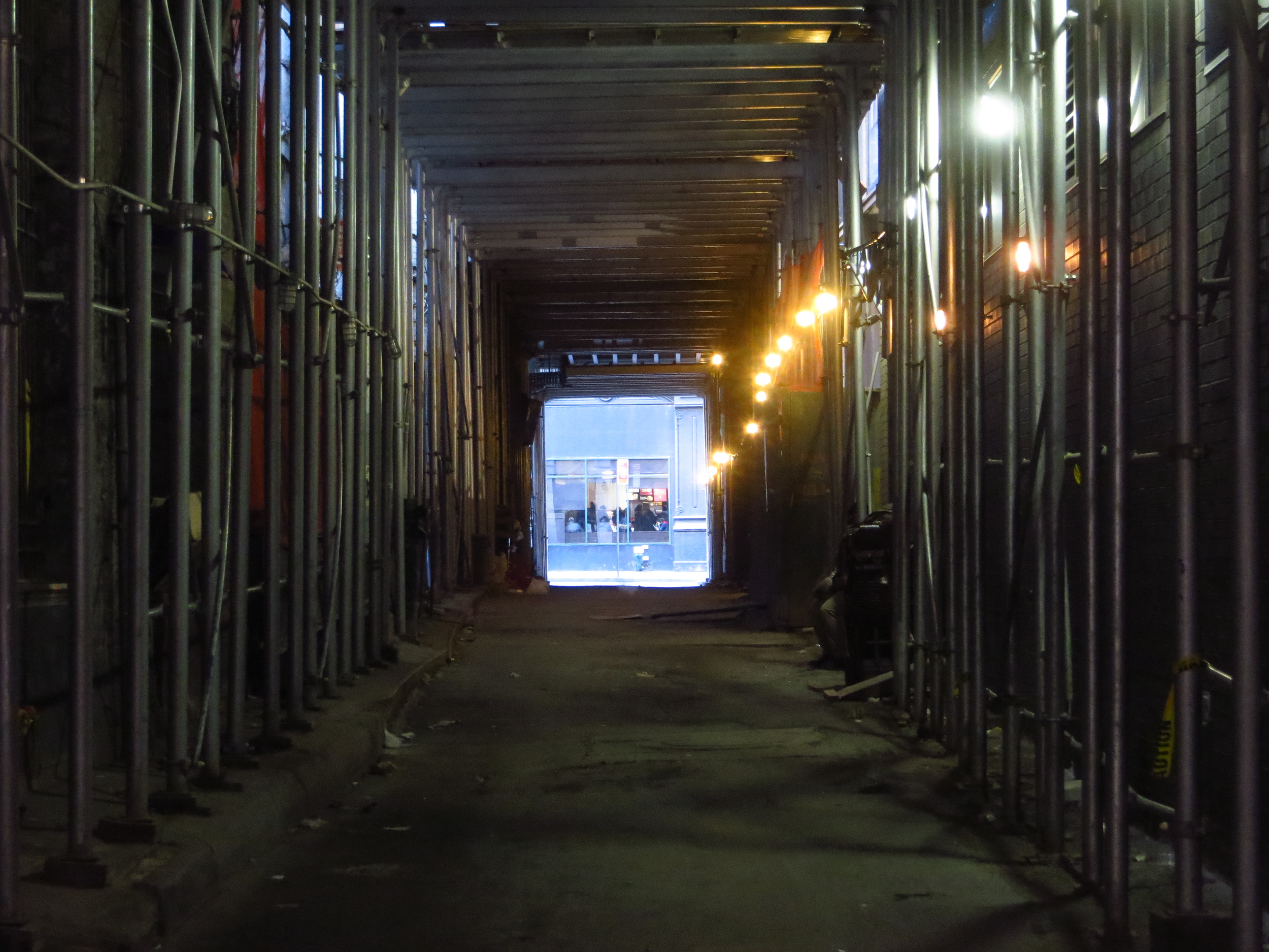
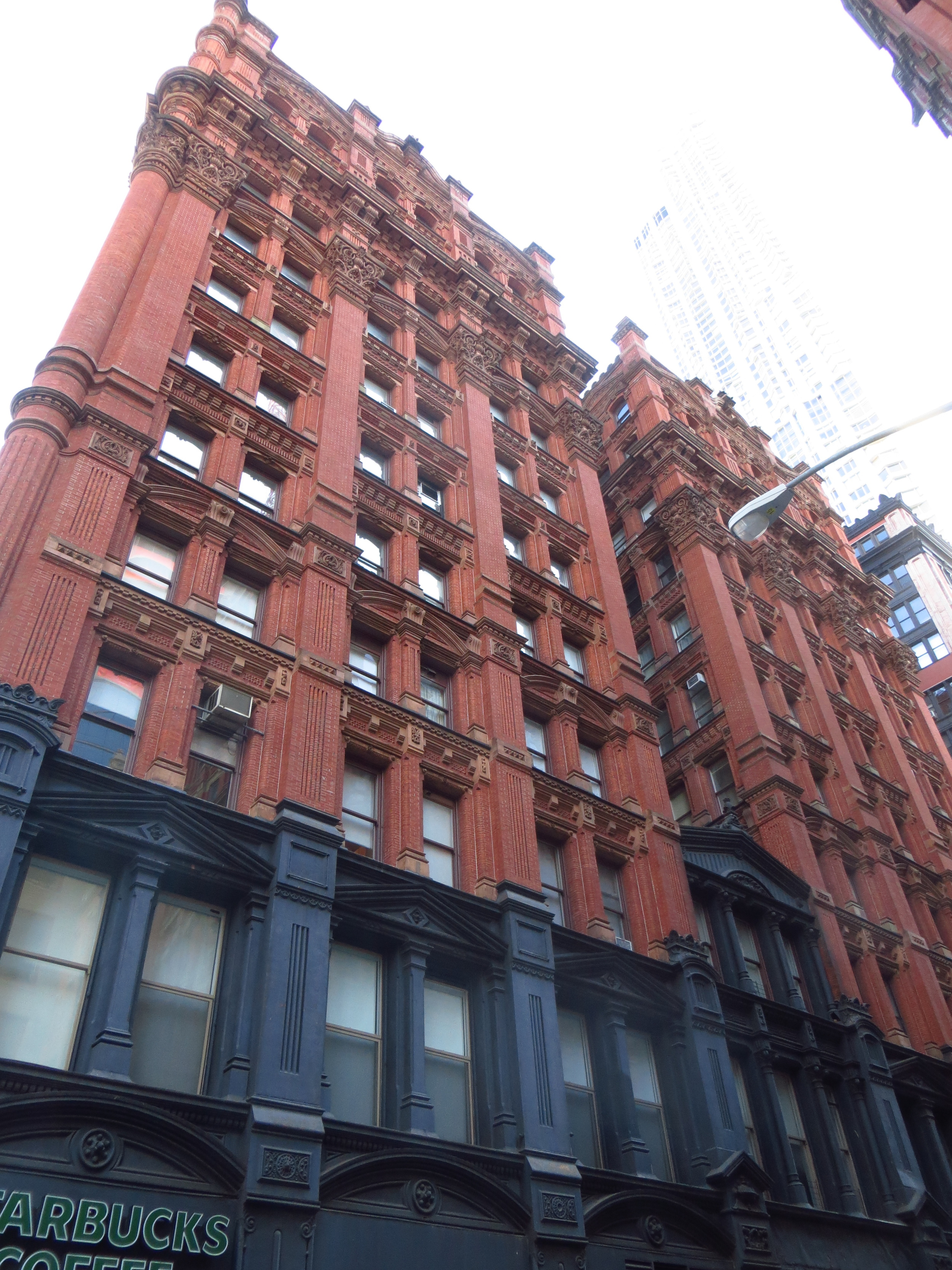
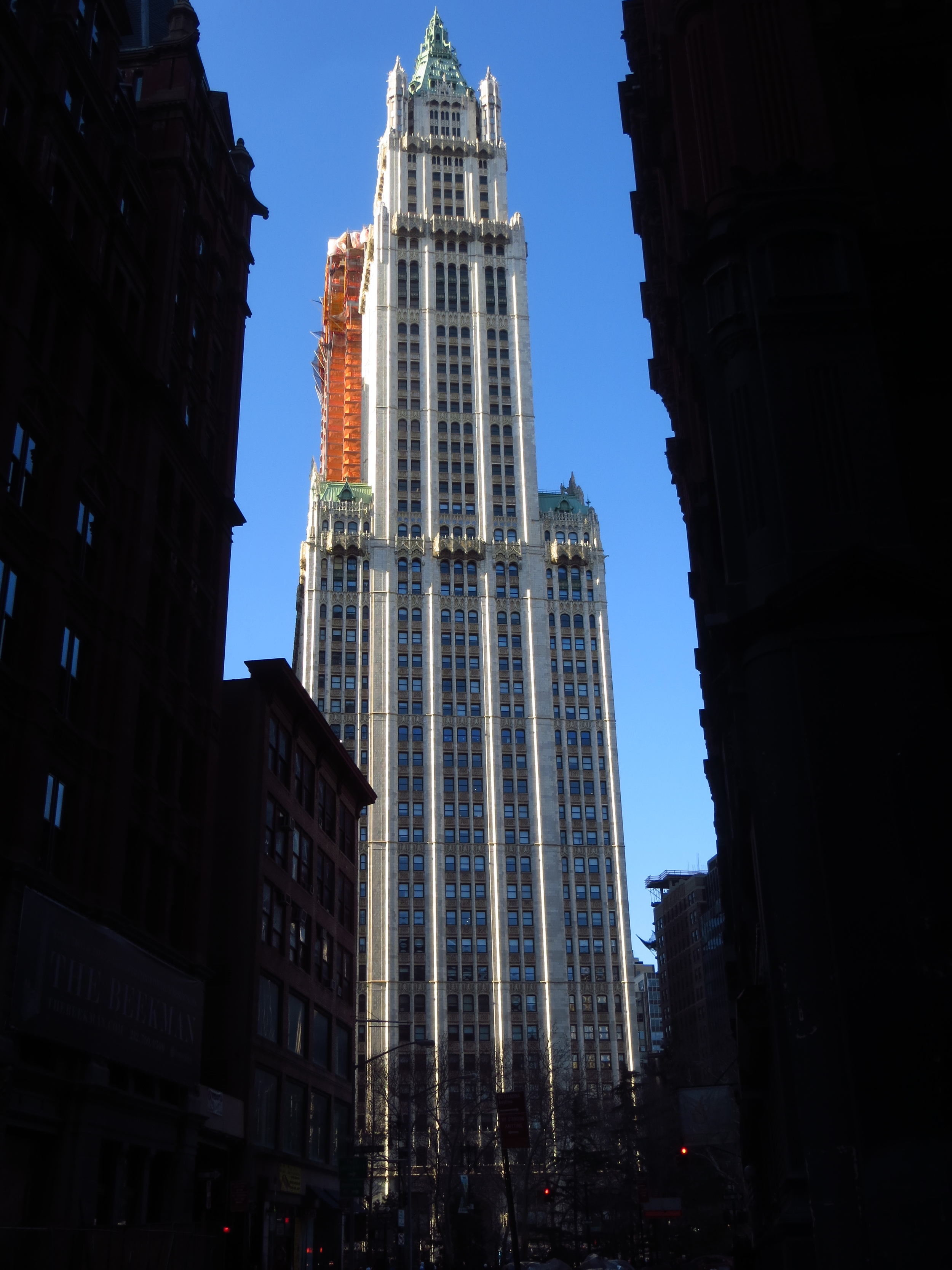
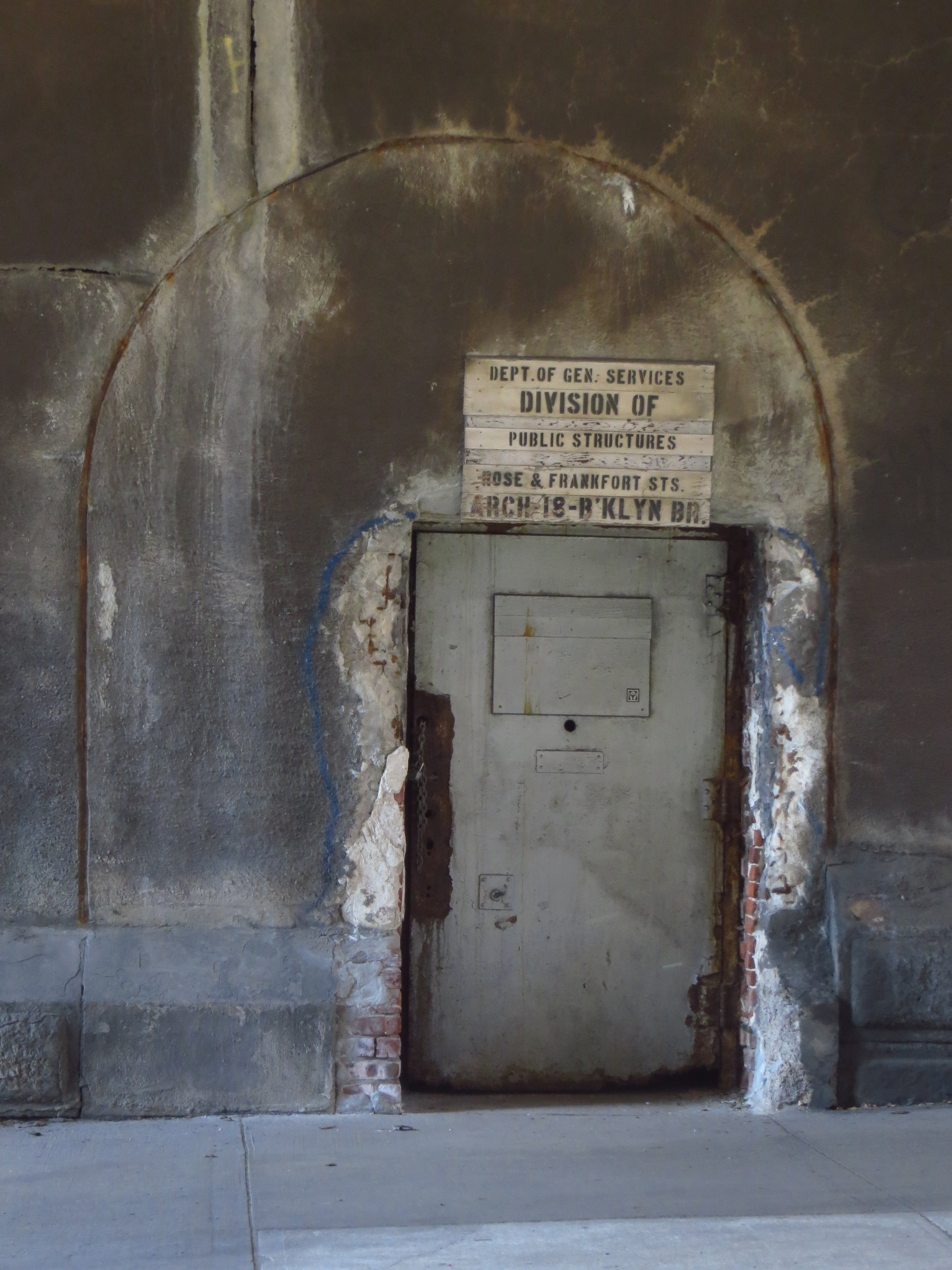
Although this walk covered several blocks of Lower Manhattan in the Financial District, the most notable section is South Street Seaport, which covers the area east of Pearl St. between Dover St. (the southern bound of the Brooklyn Bridge) and John St. South Street Seaport contains some of the oldest buildings in lower Manhattan and serves a monument to New York's rich maritime history.
South Street Seaport (which wasn't actually called that until they were trying to get it landmark status in the 1970s), was a hub of shipping activity for four centuries. Founded as a small trading post for the Dutch West India Company, New York (nee Amsterdam) sits on one of the world's largest natural harbors. By the mid-1800's, more goods and people traveled through the Port of New York than the rest of the country combined, and by 1900 New York was the busiest port in the world. Most other major cities of the Colonial era were built on harbors or navigable waterways though, so what was it that set New York apart from Boston, Philadelphia, Baltimore, Charleston and Savannah?
First, New York was the first American city to introduce regularly scheduled trans-Atlantic shipping. For most of human history, trading vessels waited to set sail until the captain or ship's owner was ready to leave (usually when the ship was full). For a merchant shipping internationally, this meant your goods might sit at the docks an extra month or more than you'd planned. In January 1818, the Black Ball line changed all that by sending its ships, empty or full, across the Atlantic on a regular schedule. Competing shipping groups soon followed suit, making New York the preferred point of departure for the new country's raw materials and manufactured goods travelling to Europe.
Second, and even more significant, was the completion of the Erie Canal in 1825. Throughout the colonial period in America, the only means of transporting goods from the interior of the country was on carts pulled by draft animals over rough roads. A trip from the Great Lakes region to New York could take anywhere from 20 - 30 days (one way). Immediately following the Revolutionary War, politicians and entrepreneurs across the country competed to fund and build canals linking the western frontier with the sea. George Washington personally championed a canal bypassing the falls and rapids of the Potomac and linking it with the Ohio River Valley (which would have enriched his home state of Virginia, and likely him individually), but it only ever succeeded in moving boats about a mile past the Great Falls of the Potomac (a few miles northwest of modern day Washington D.C.).
In 1817, New York Governor (and former Mayor of New York), DeWitt Clinton, procured $7 million from the New York legislature to begin a canal along the Mohawk river connecting Lake Erie at Buffalo with the Hudson River at Albany. Eight years and 36 locks later, the 363 mile long canal was complete, significantly reducing transit time and expense for goods shipped between the Midwest and New York. Midwestern farmers were now able to ship their crops and other raw goods to the entire Eastern Seaboard and and even overseas via New York. Similarly, manufactured goods and capital equipment could be easily sent inland, and as a consequence Western New York and the new Midwest experienced population growth over the next several years as many recently arrived immigrants moved inland along the path of the canal.
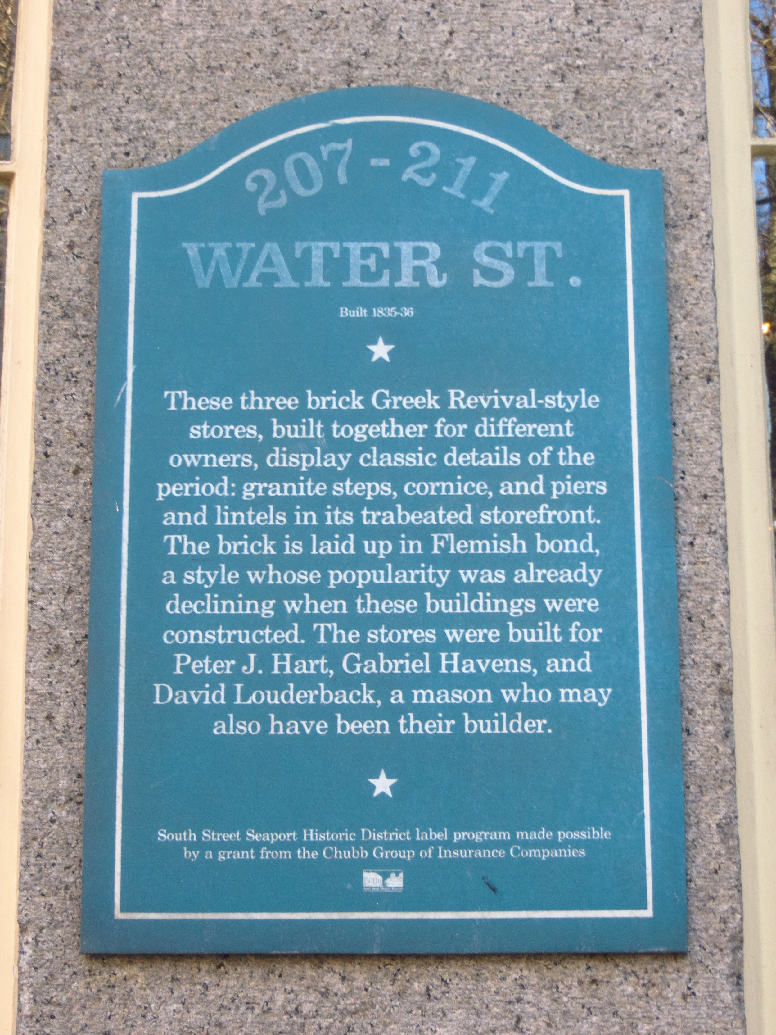
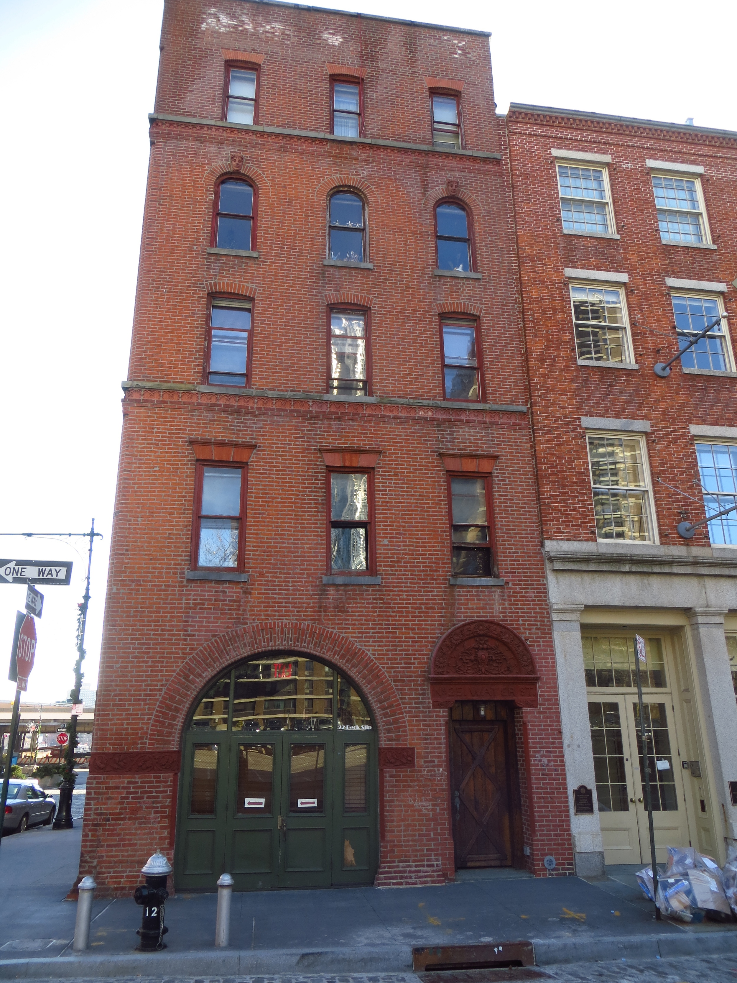
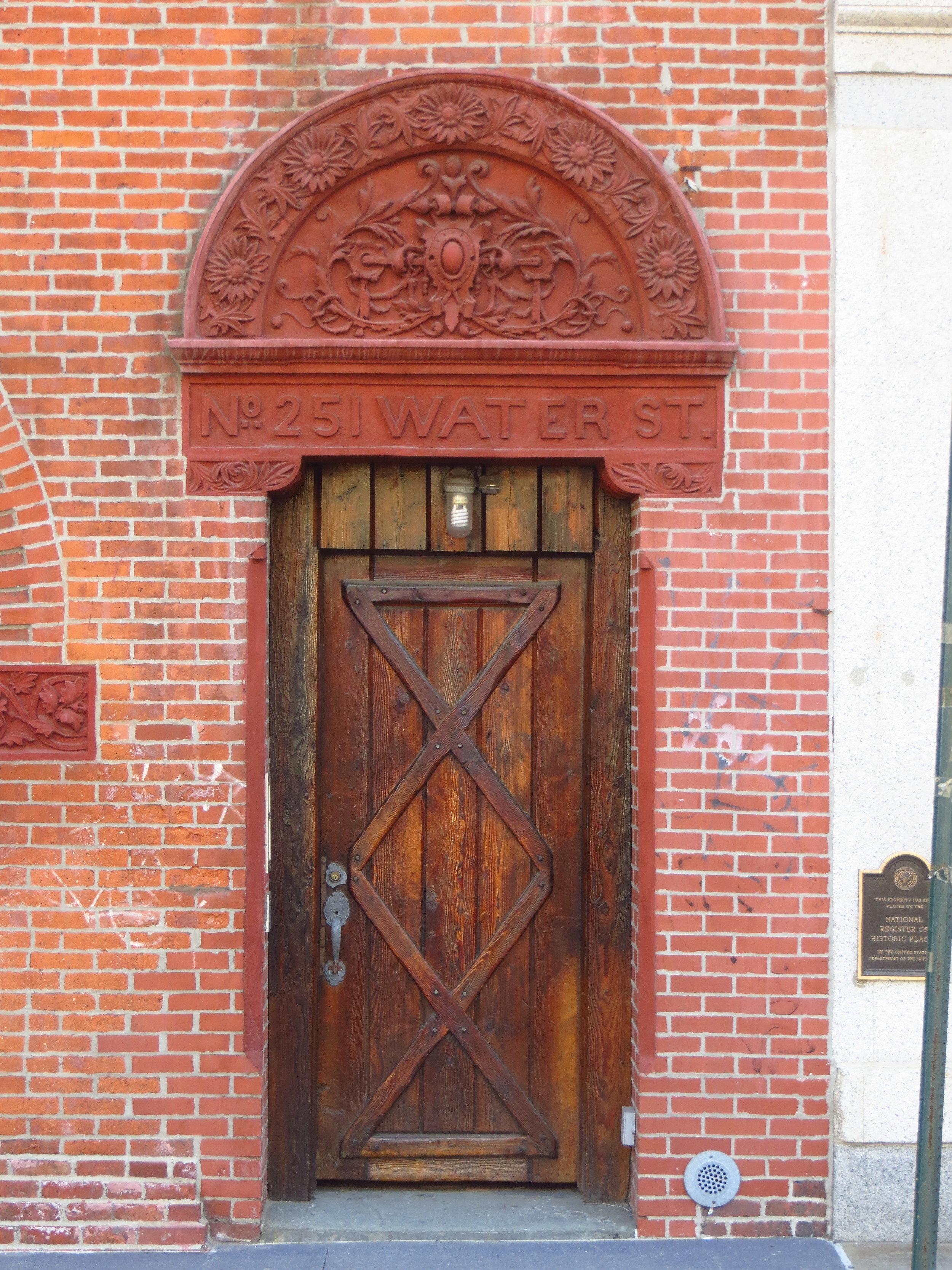
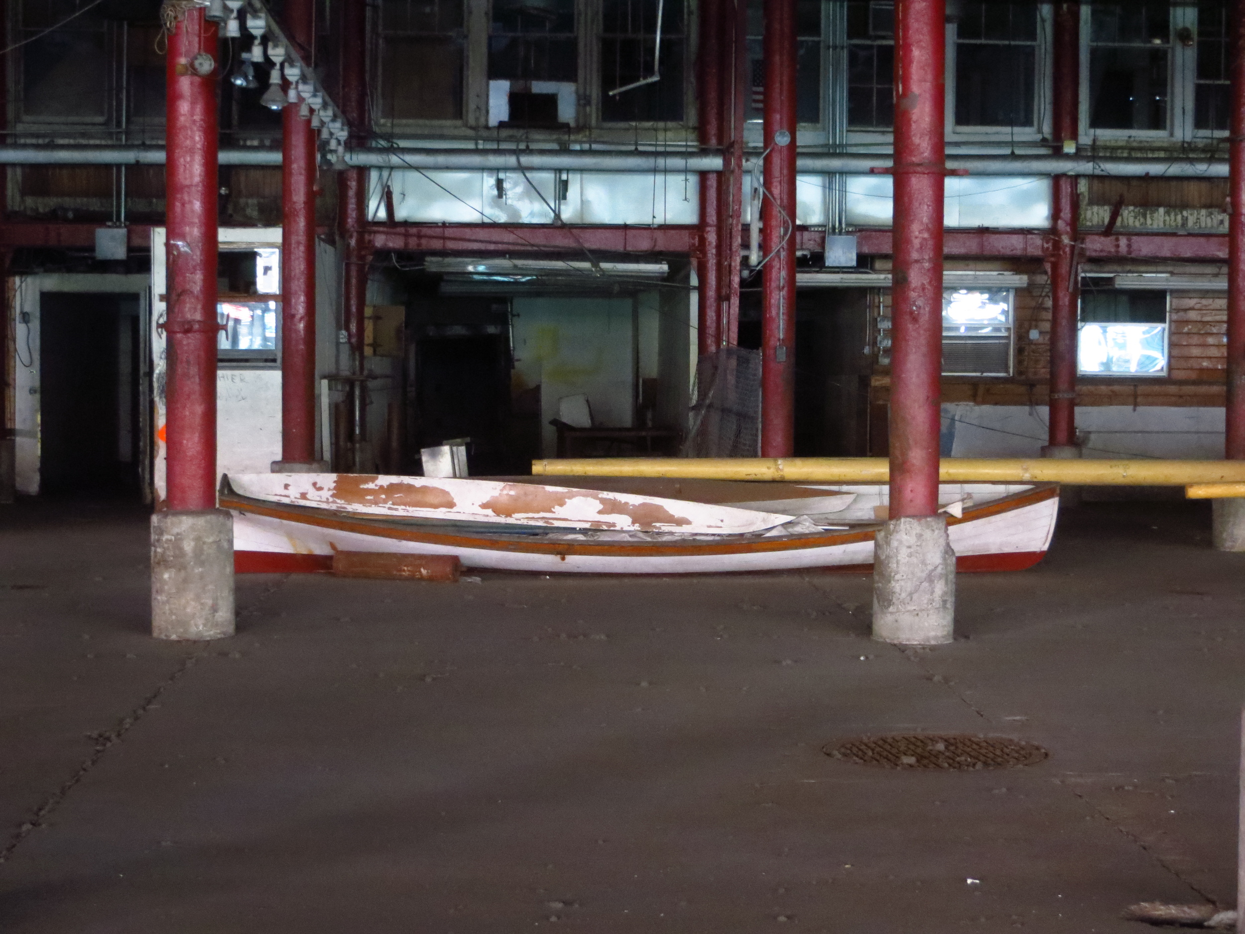
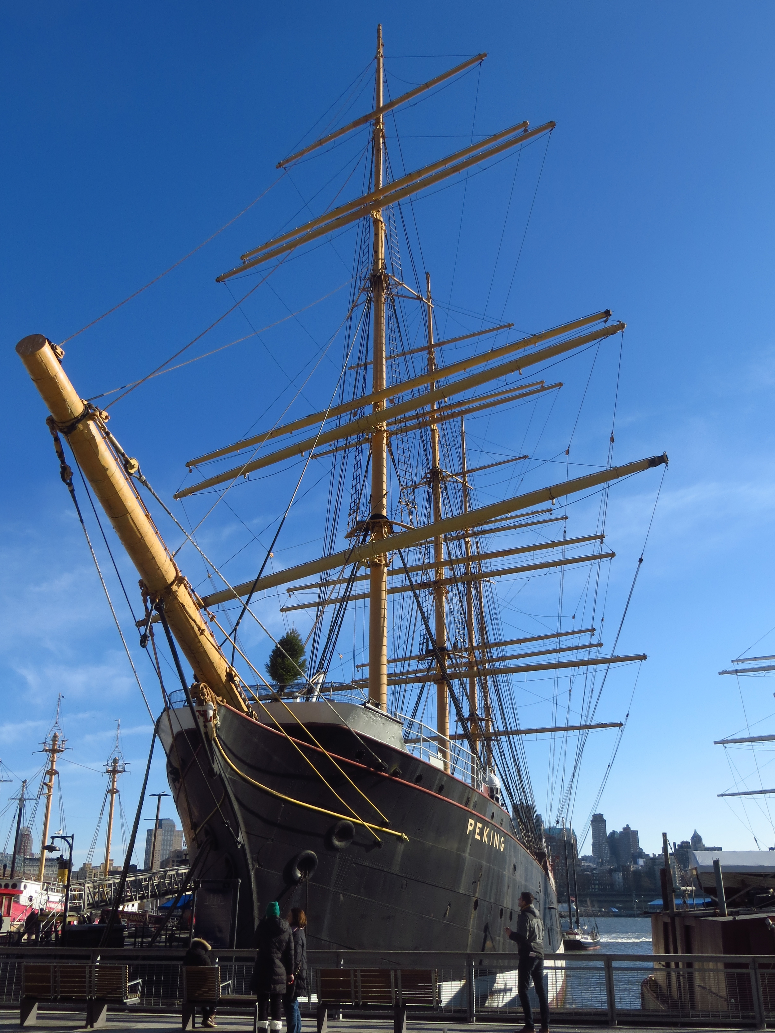
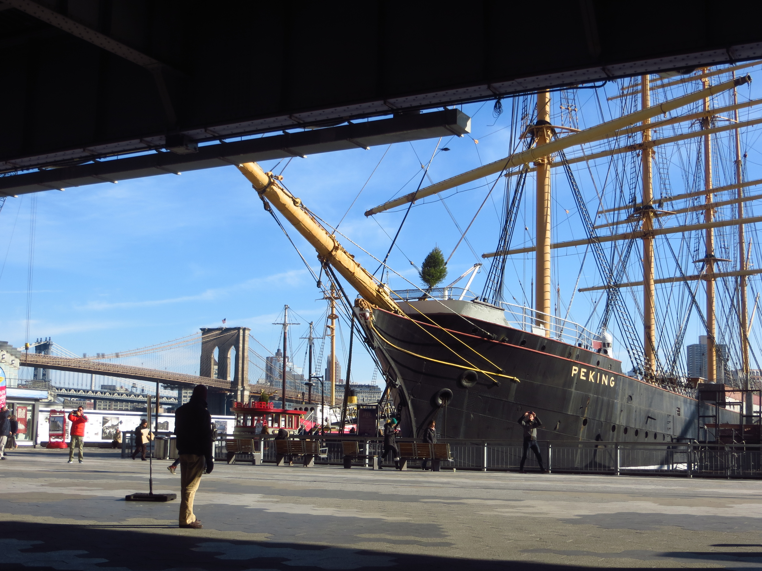
So for all these reasons, New York's shipping industry expanded rapidly in the early 1800's with much of the activity centered around the South Street Seaport area (favored over the Hudson for its protection from high winds and ice in the winter months). Piers lined the street along the river's edge for several blocks and warehouses and offices of shipping firms filled the blocks nearby. Today many of these office buildings have been restored and a few old sailing ships are docked along the river, giving visitors a feeling for what the area would have looked like 150 years ago.