Broadway

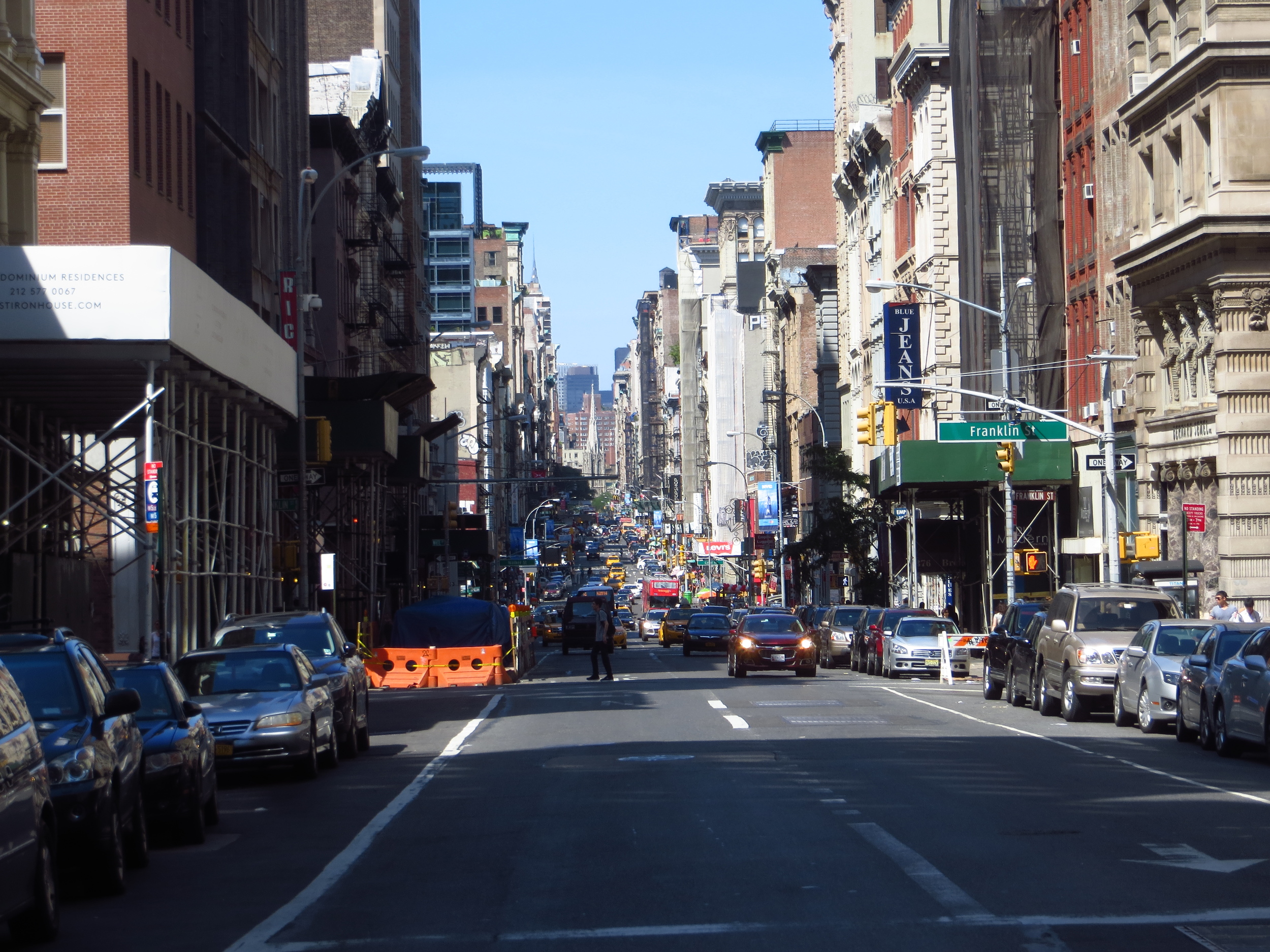
I saved Broadway for last.  In addition to being New York's most iconic street, at 13.3 miles it's also the longest.
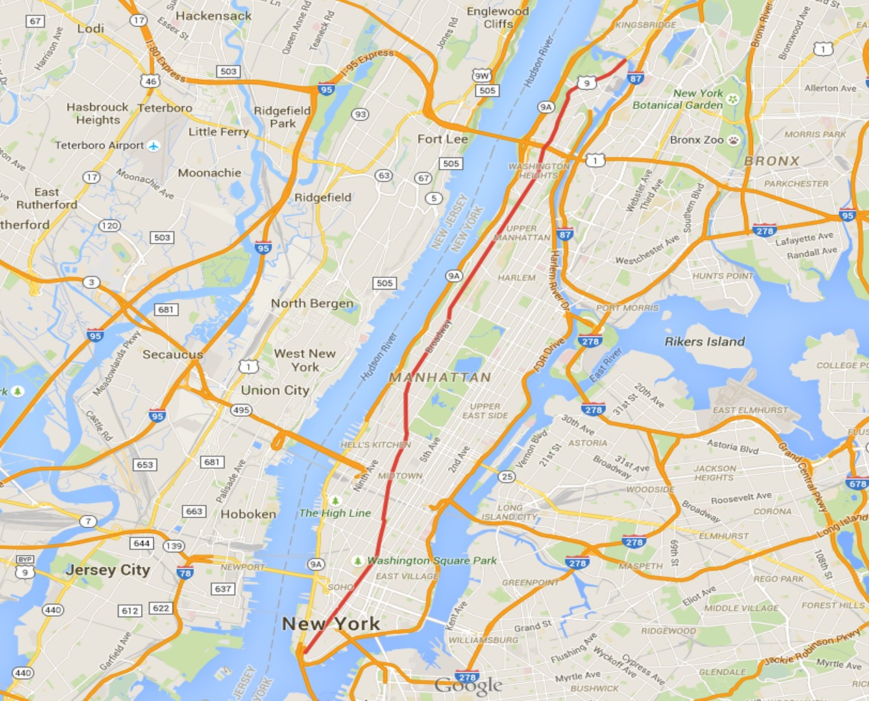
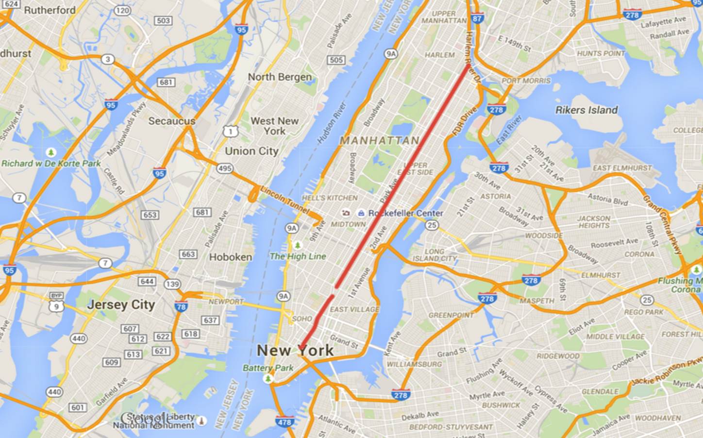
Today's walk

Today's walk

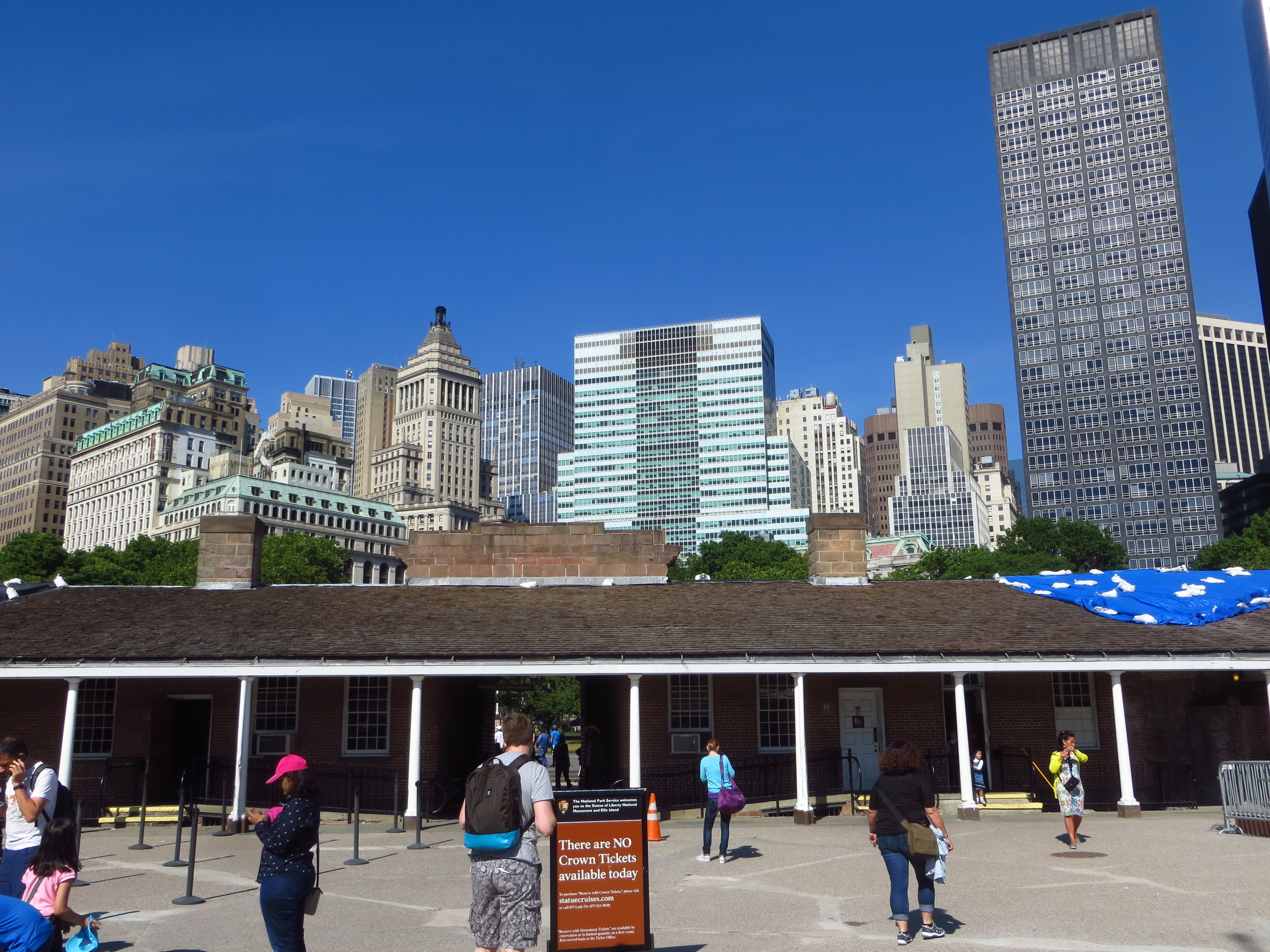
Broadway runs the entire length of Manhattan - from Battery Park at the base of the island all the way up to 220th St. at the top.  Unlike most streets in Manhattan, Broadway continues north after leaving the island, travelling another 20 miles through the Bronx and Westchester County before finaly ending north of Sleepy Hollow.

Broadway is the oldest north-south road in New York, even pre-dating European settlement.  When the Dutch arrived, they found a well traveled trail cut by the island's Native American inhabitants that led north across the island.  They improved the trail and named it "Breede weg", later anglicized to Broadway.

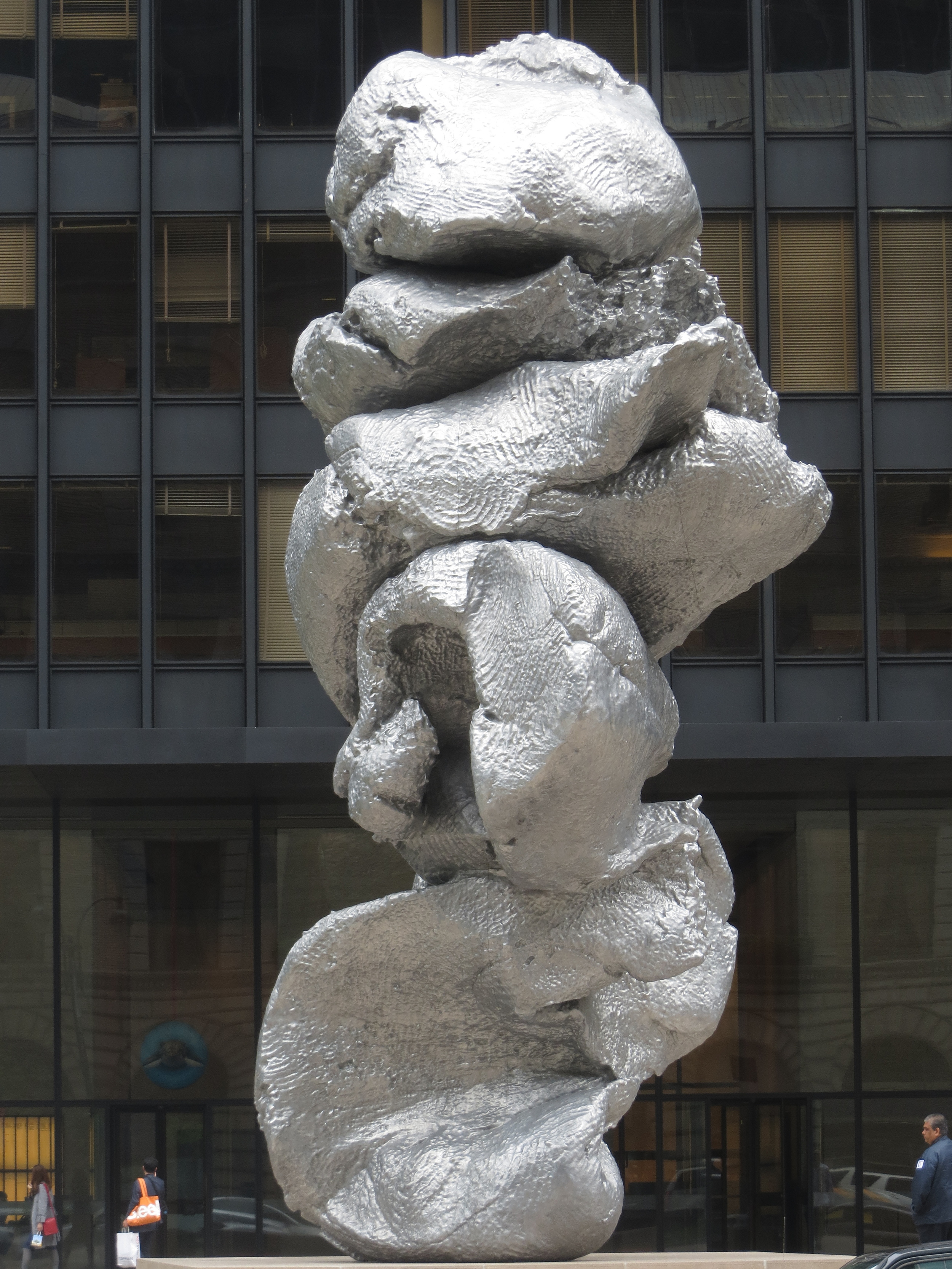
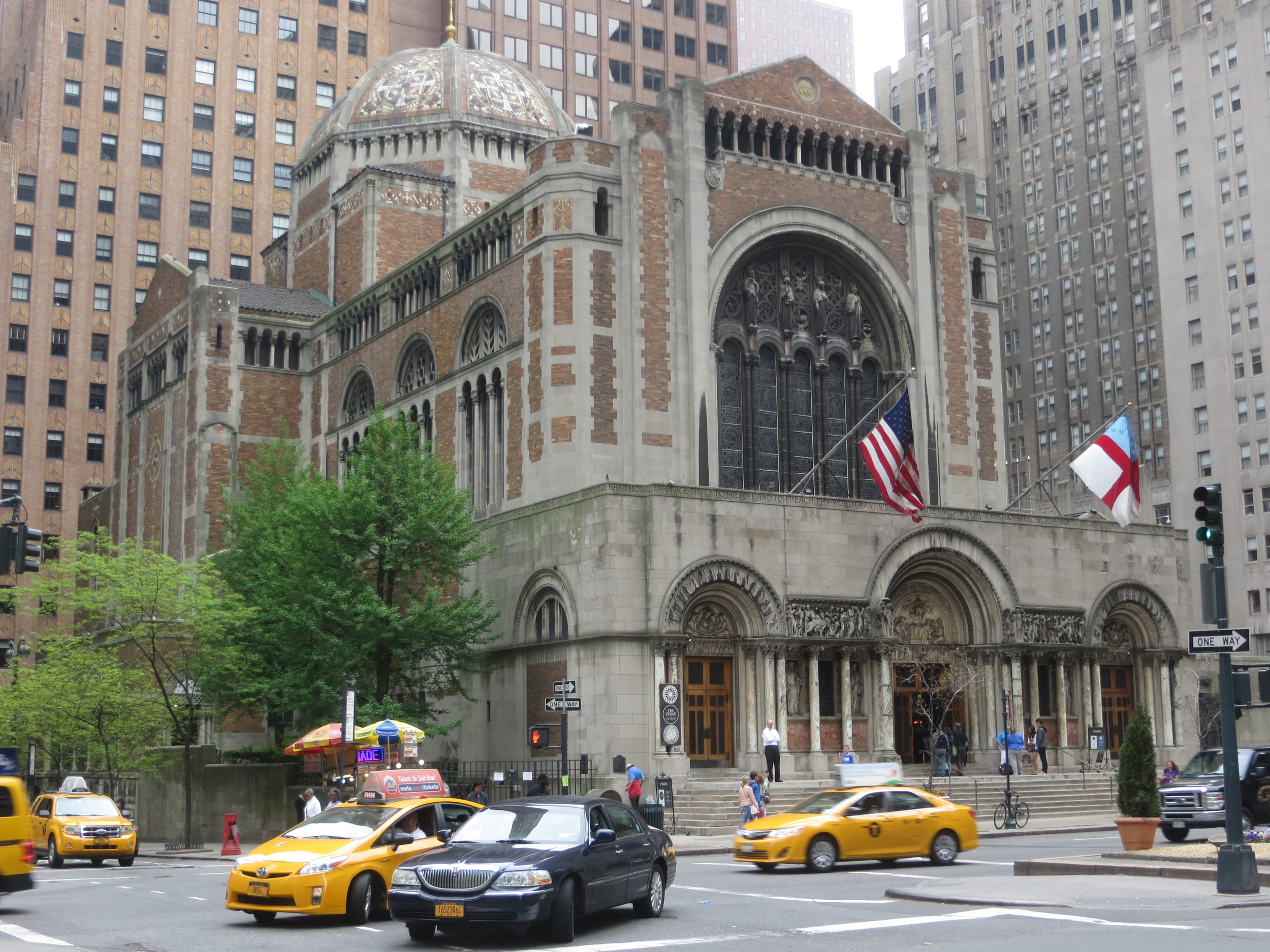
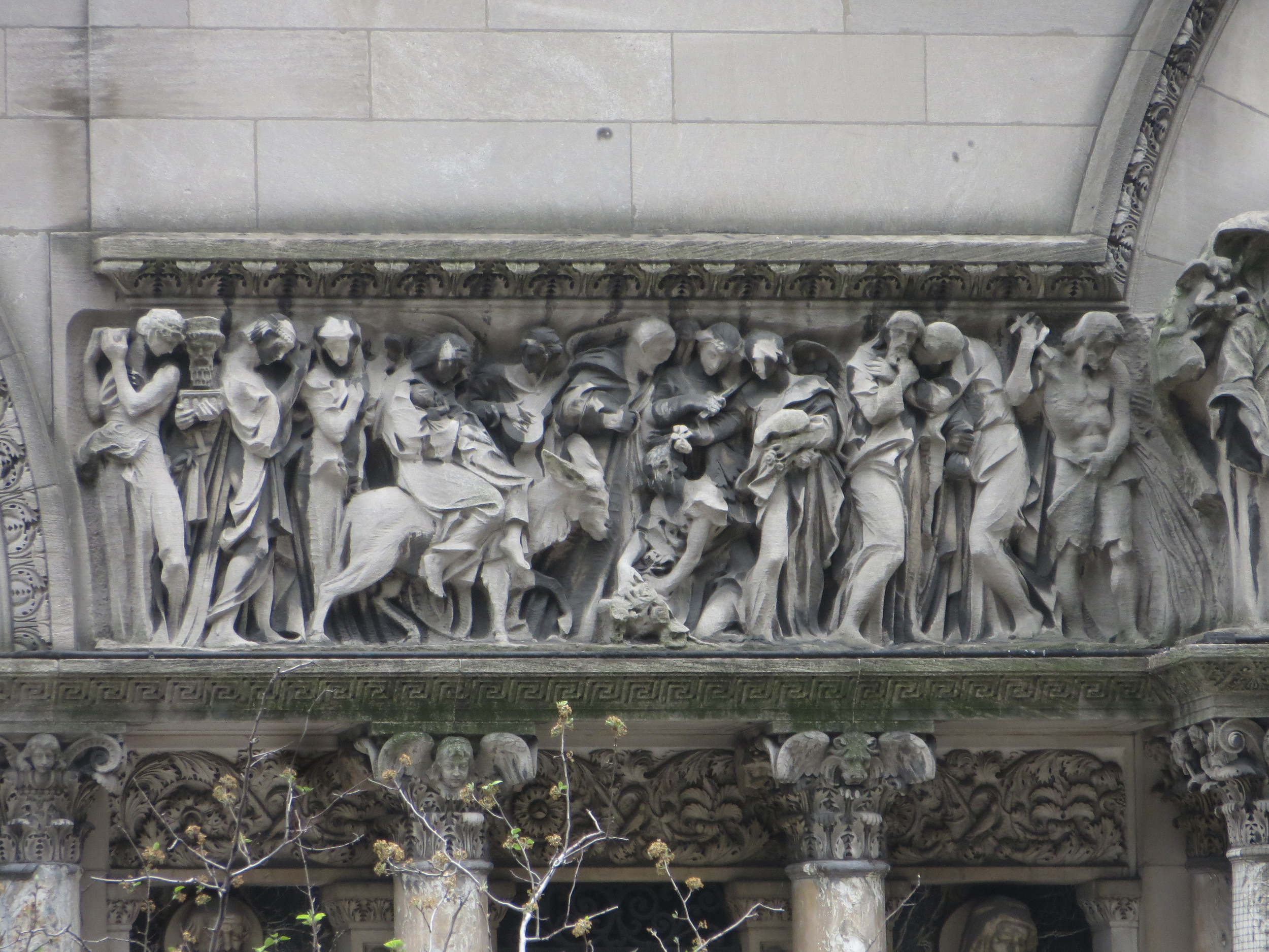
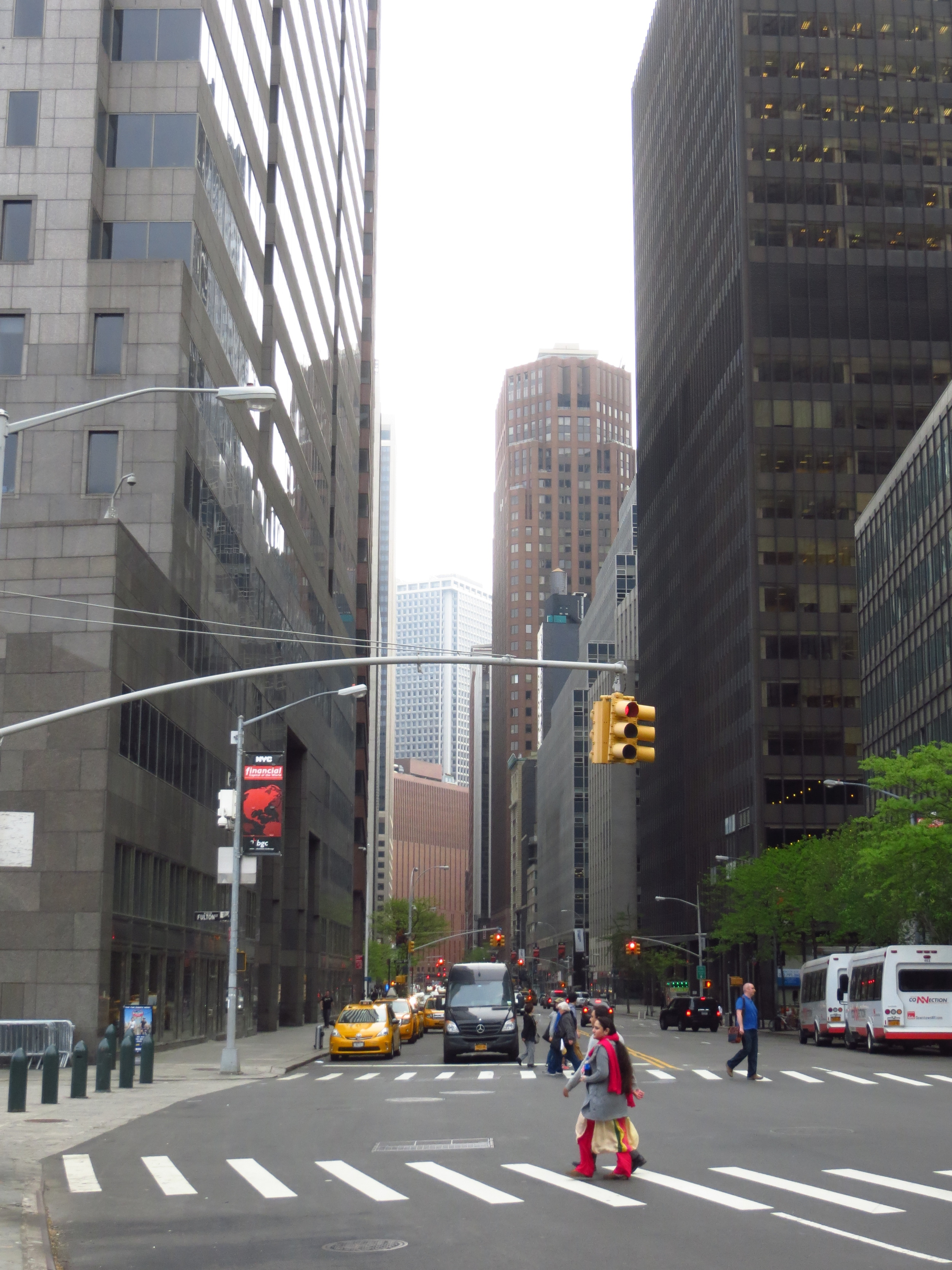
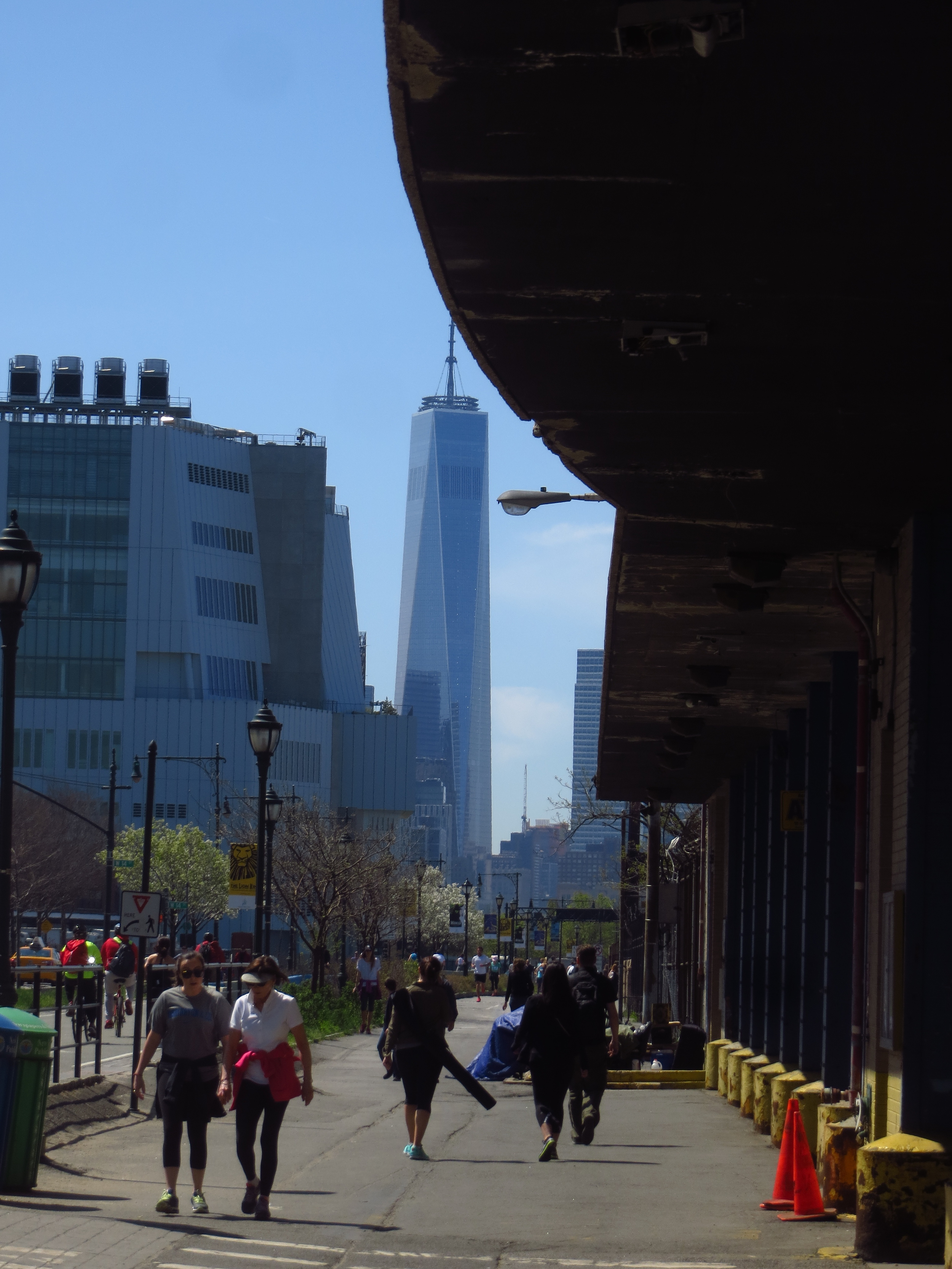
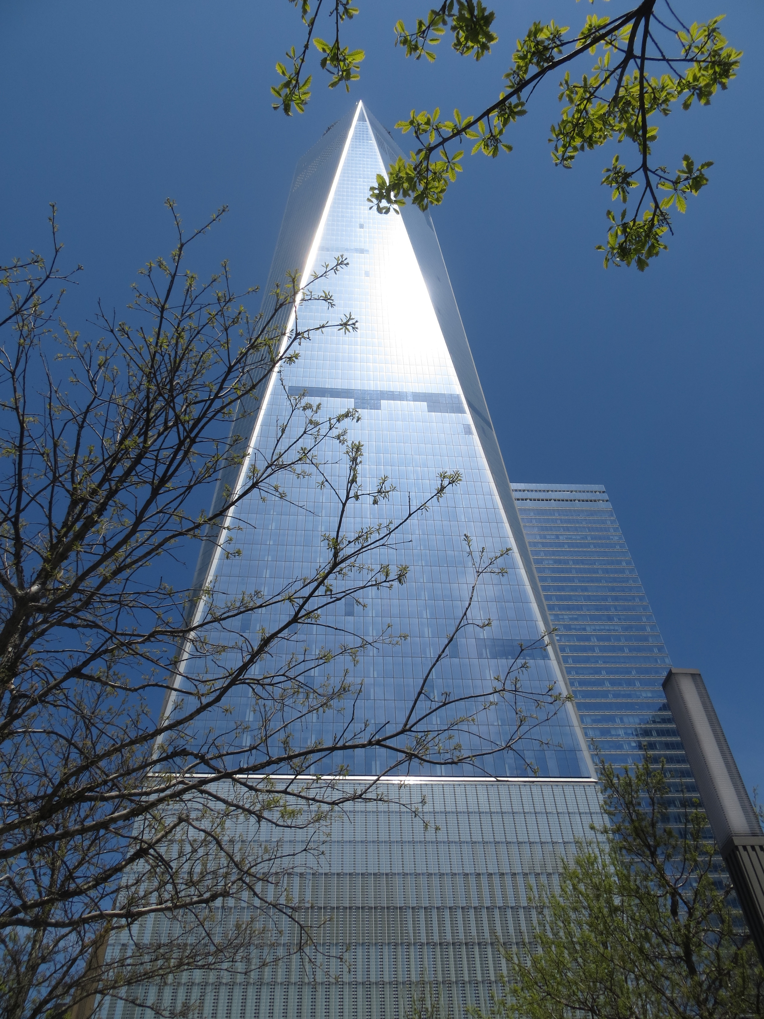
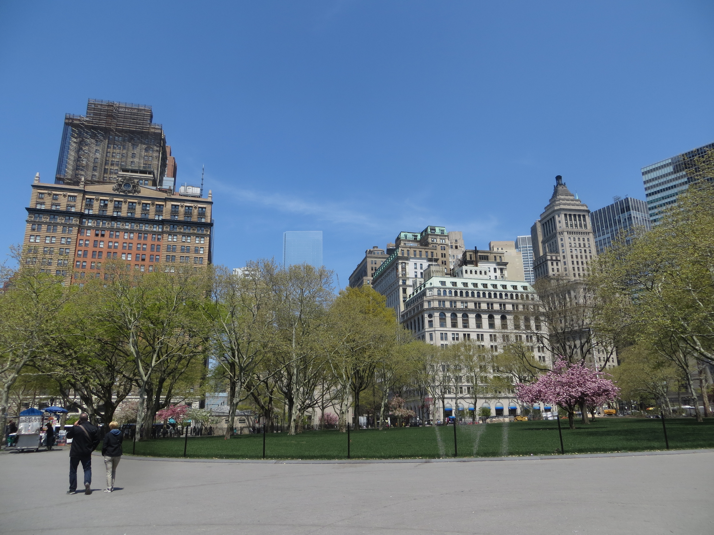
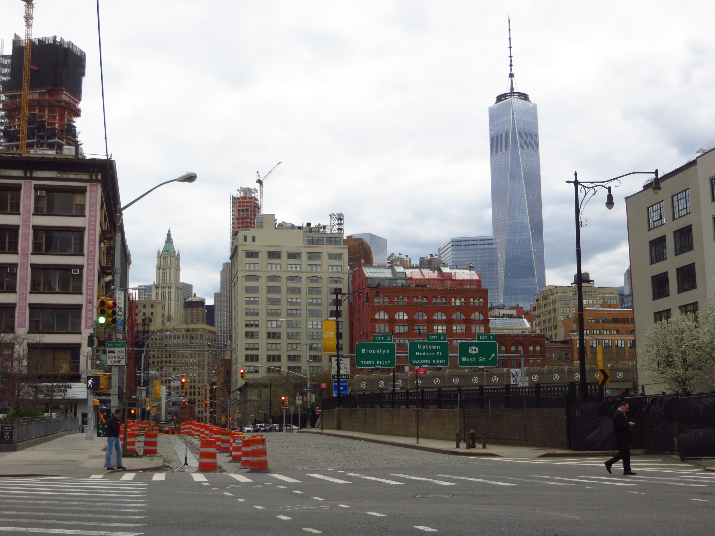
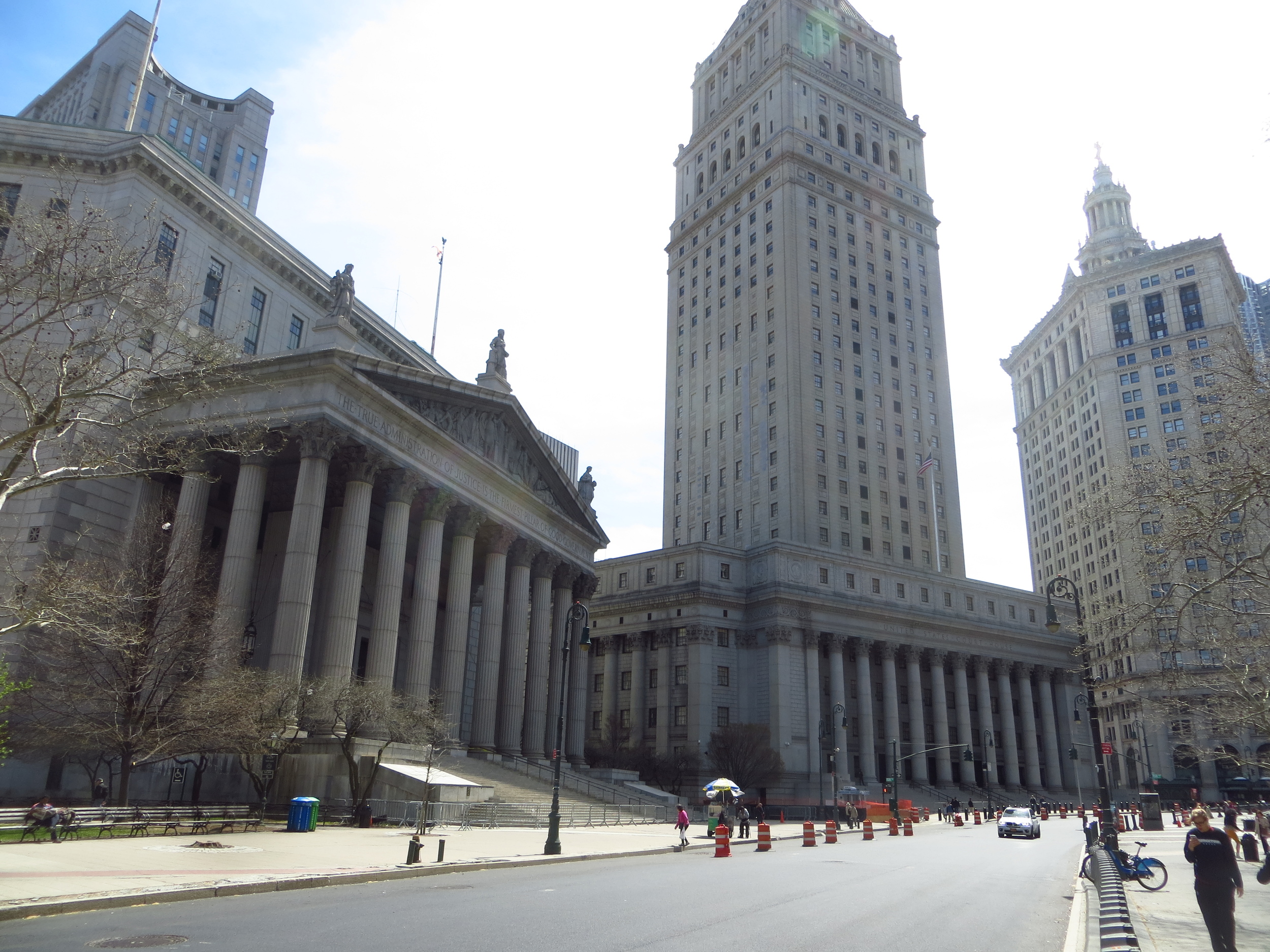
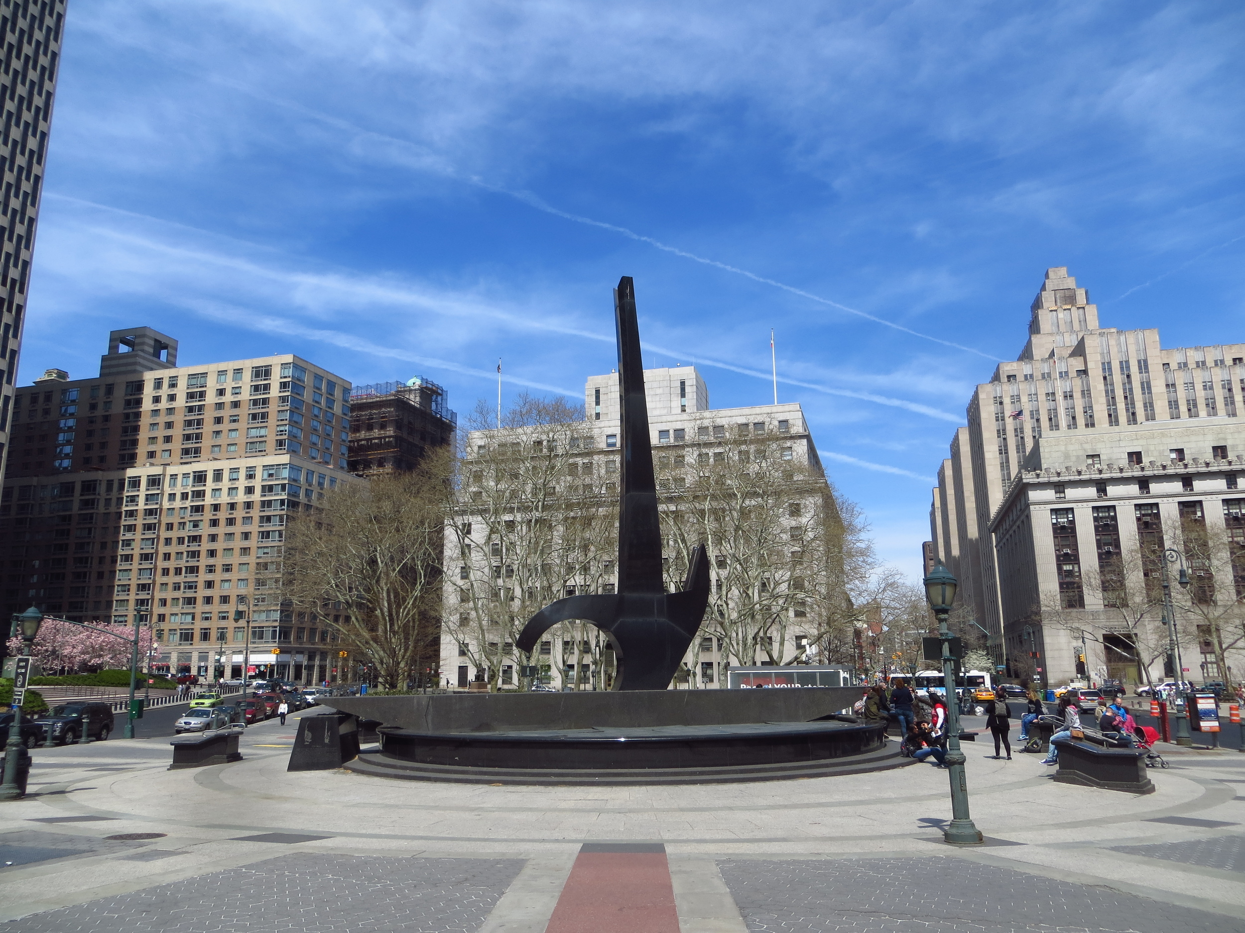
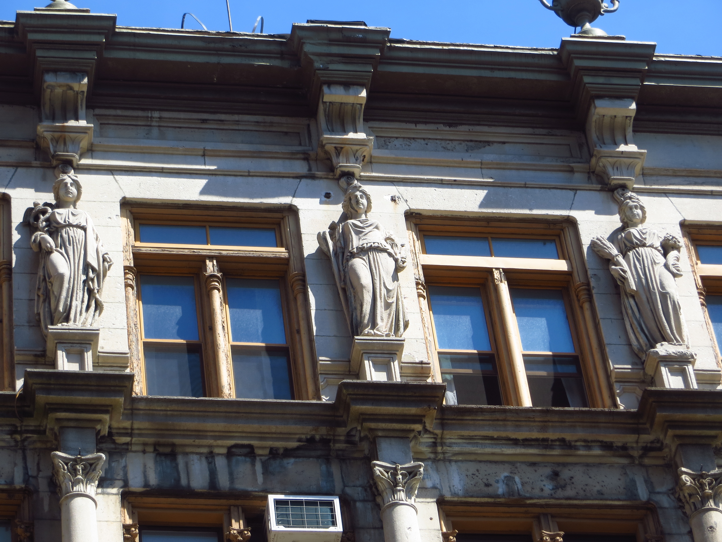
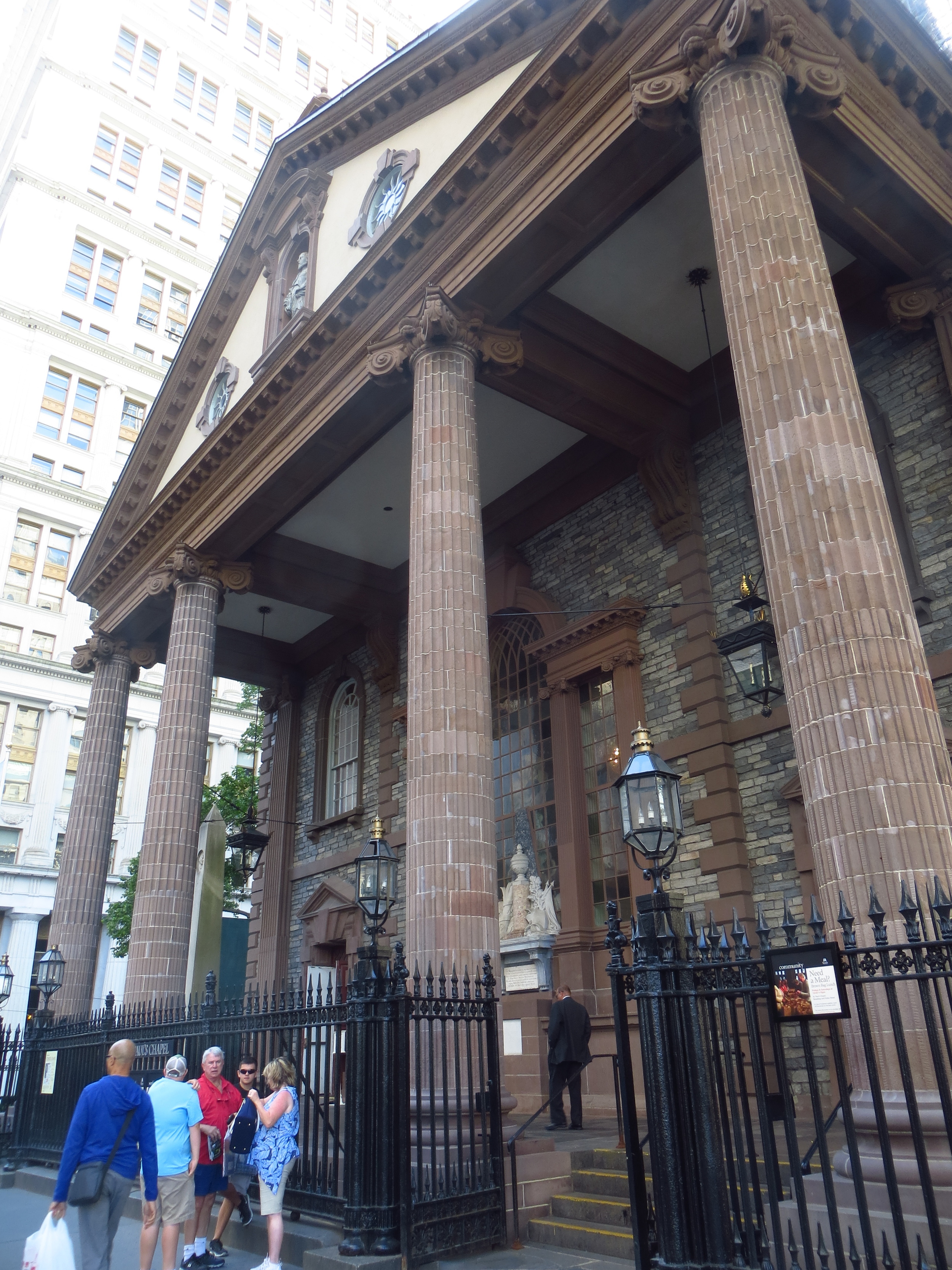
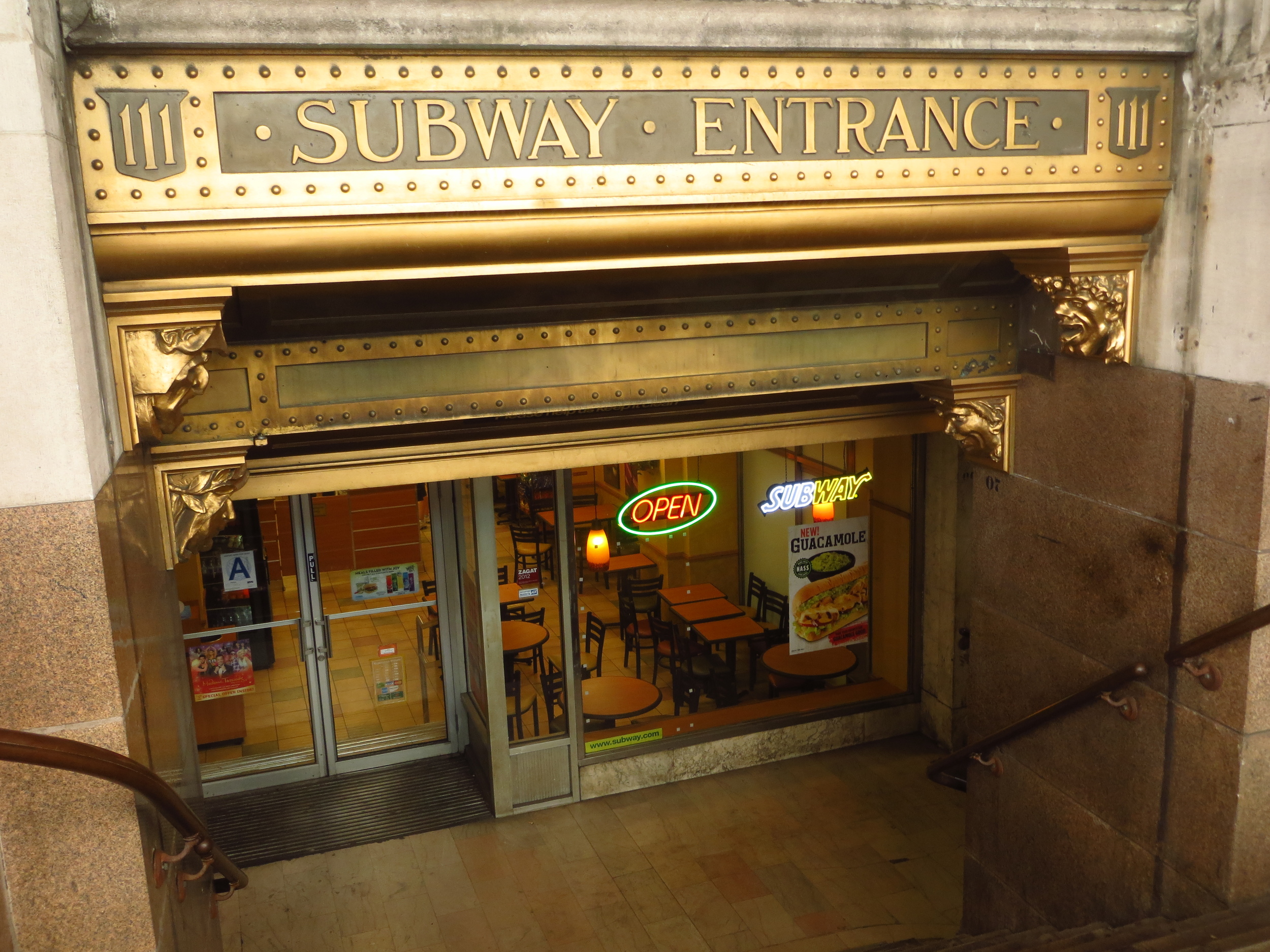
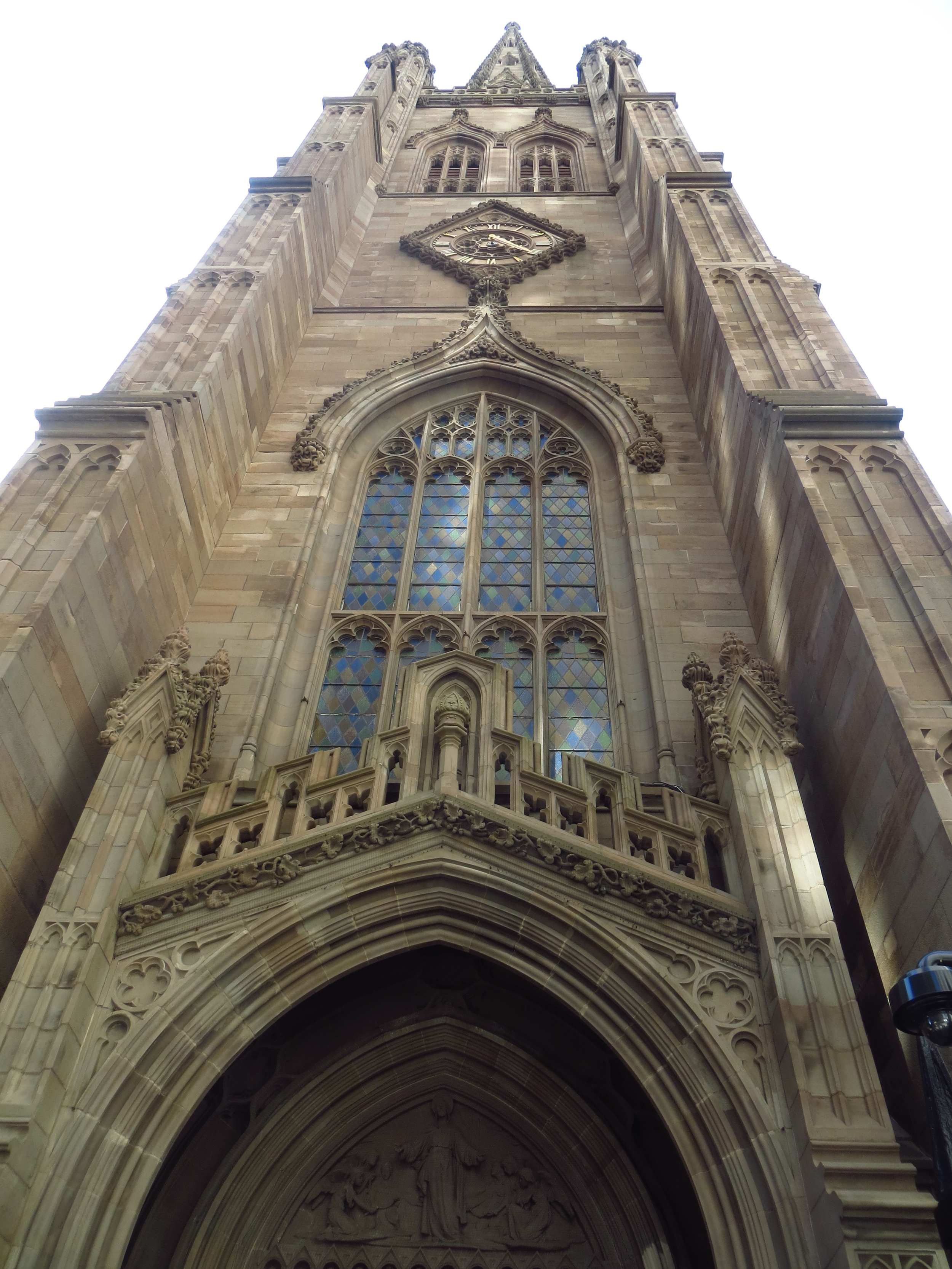
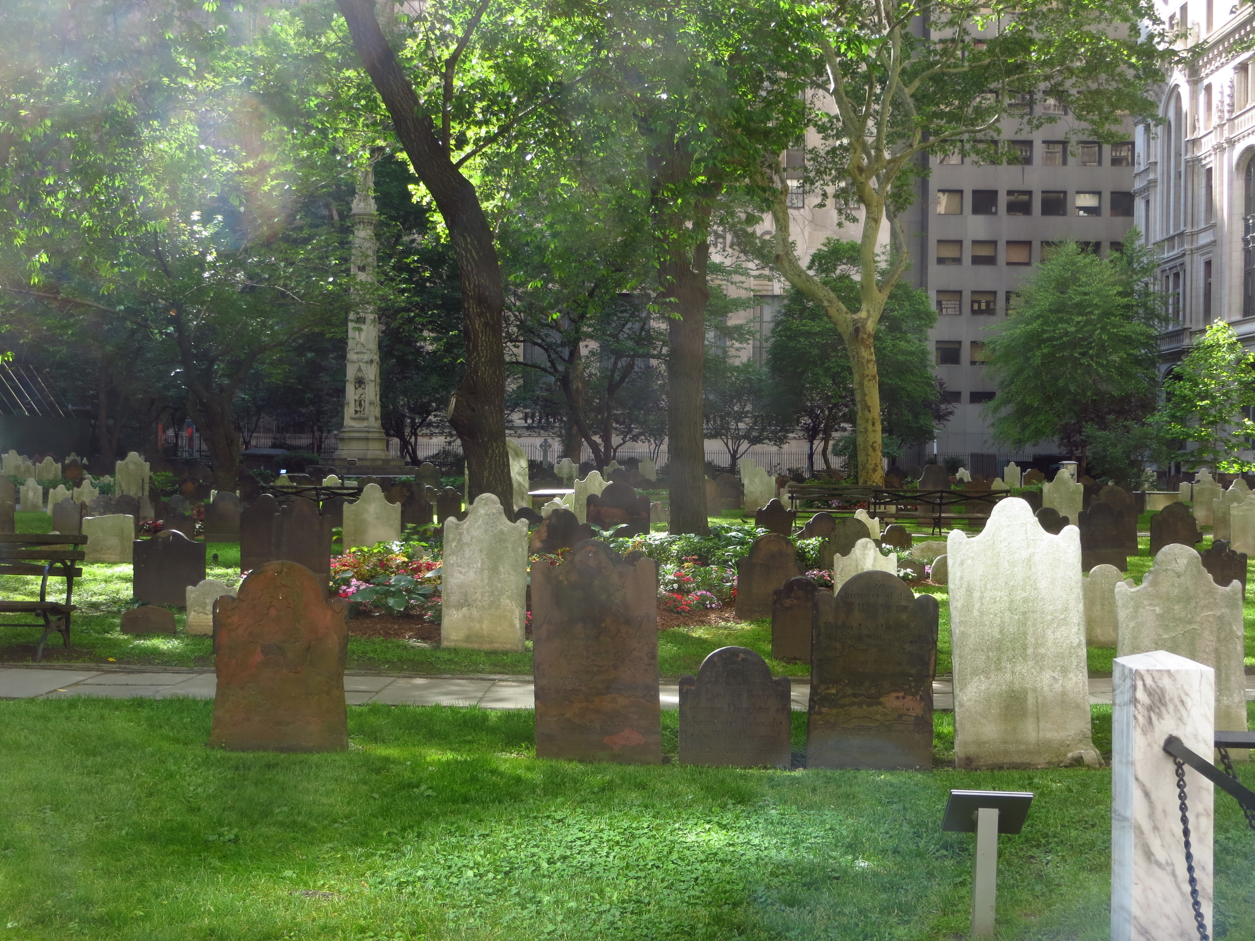
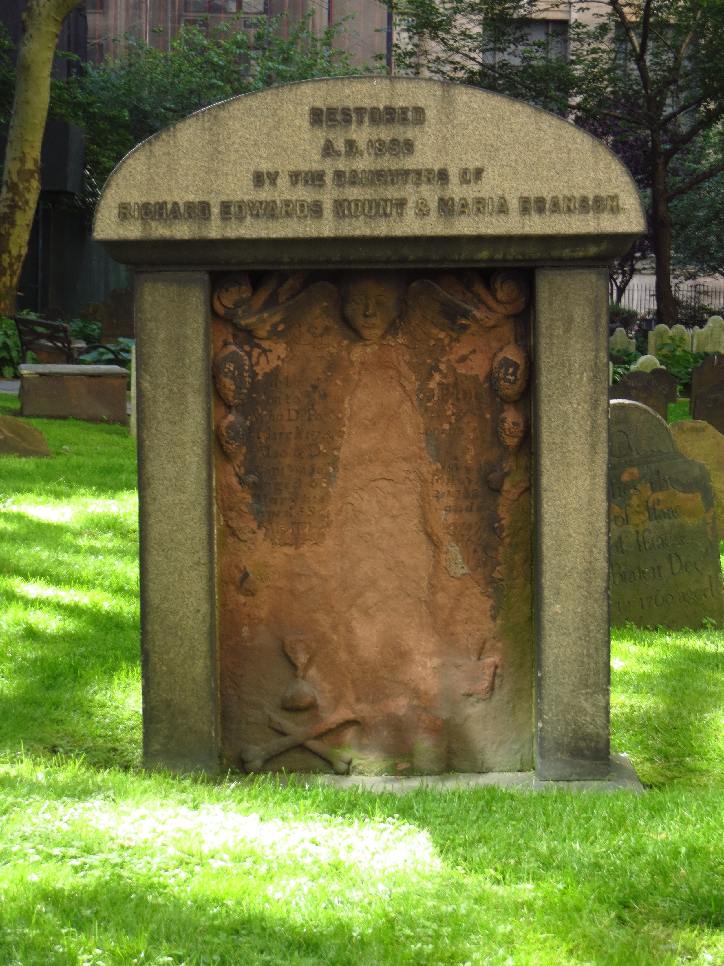
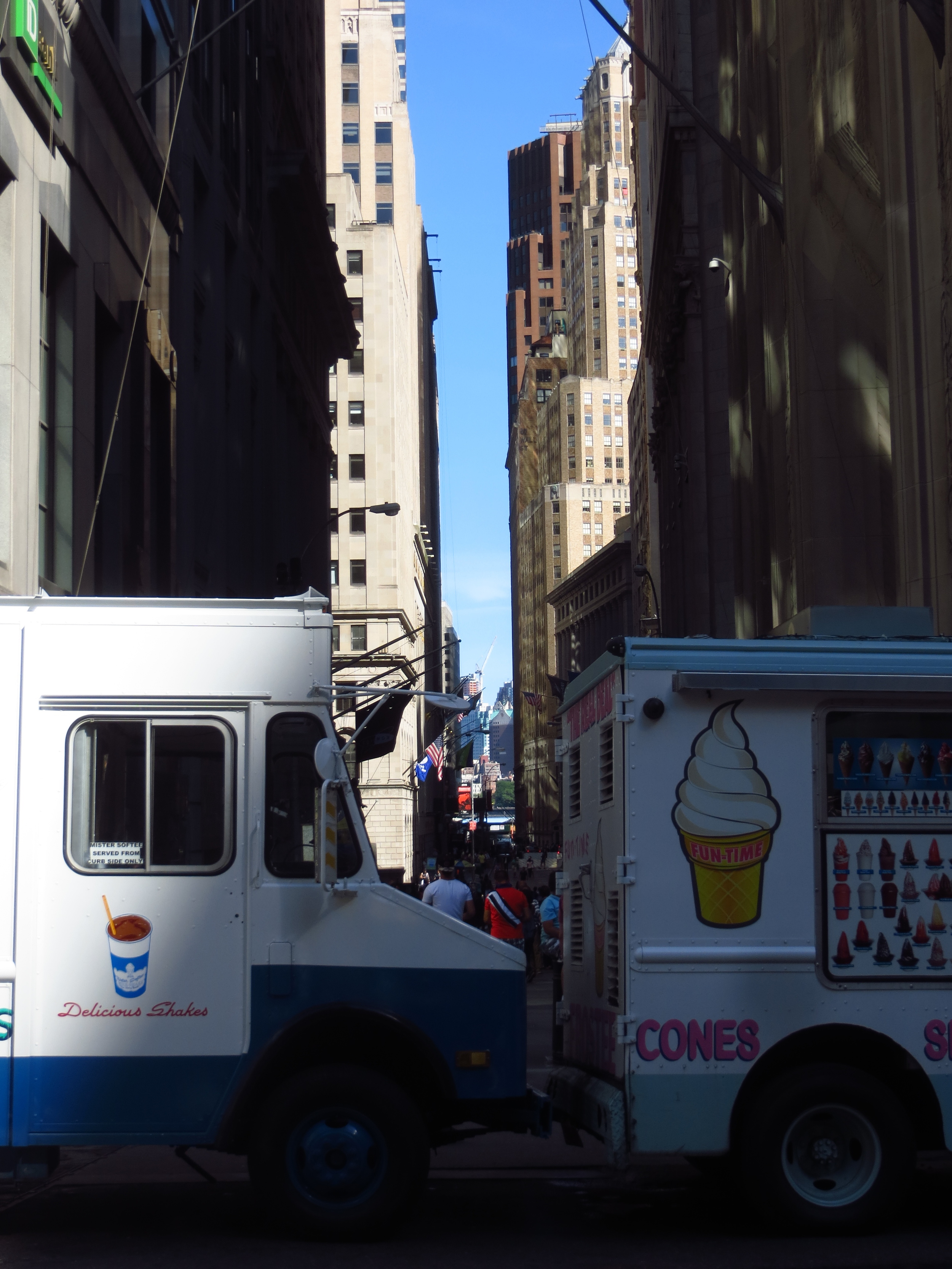
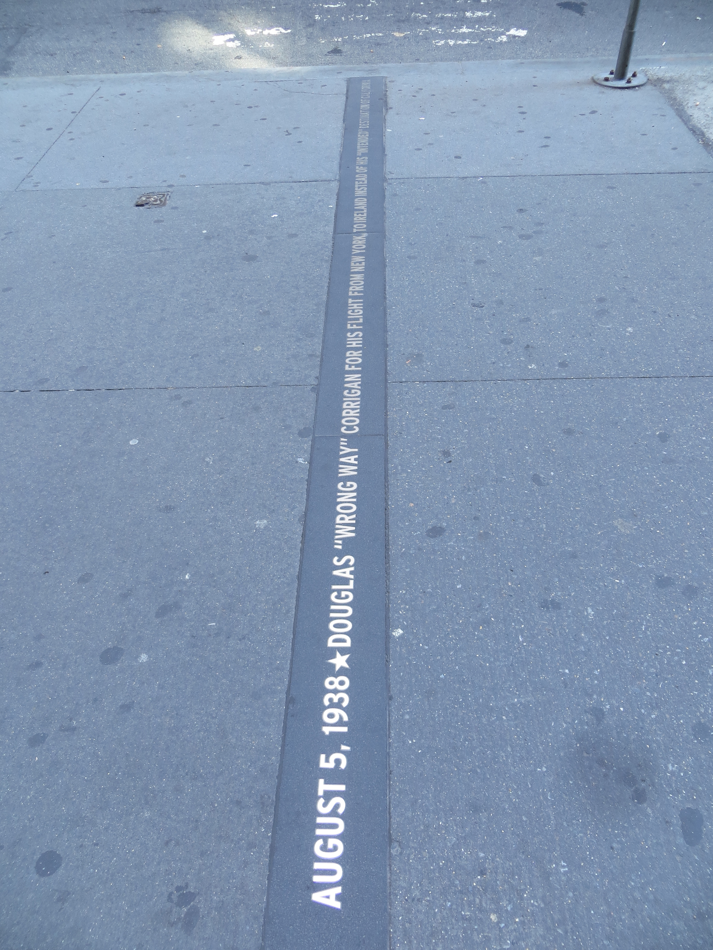
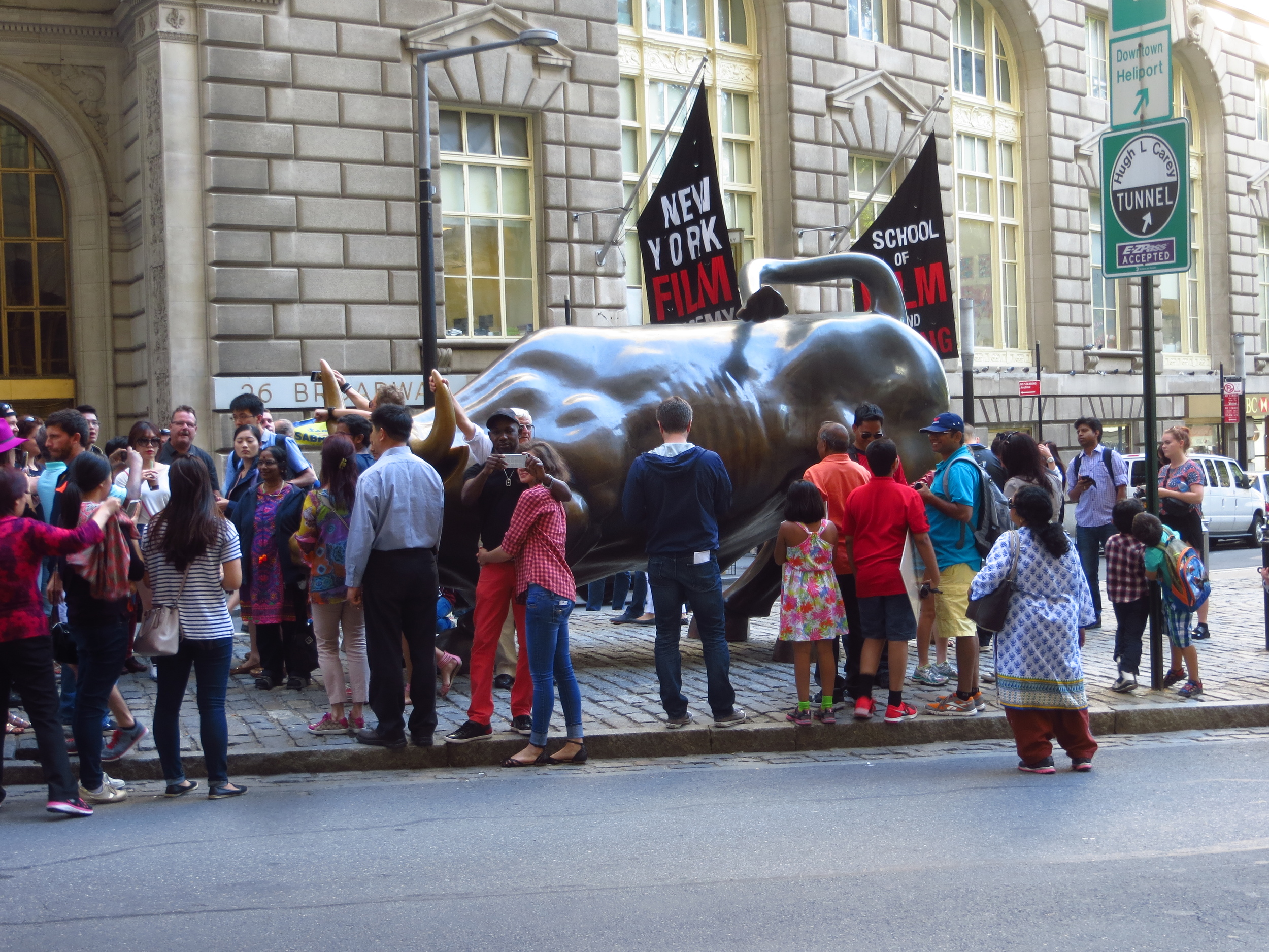
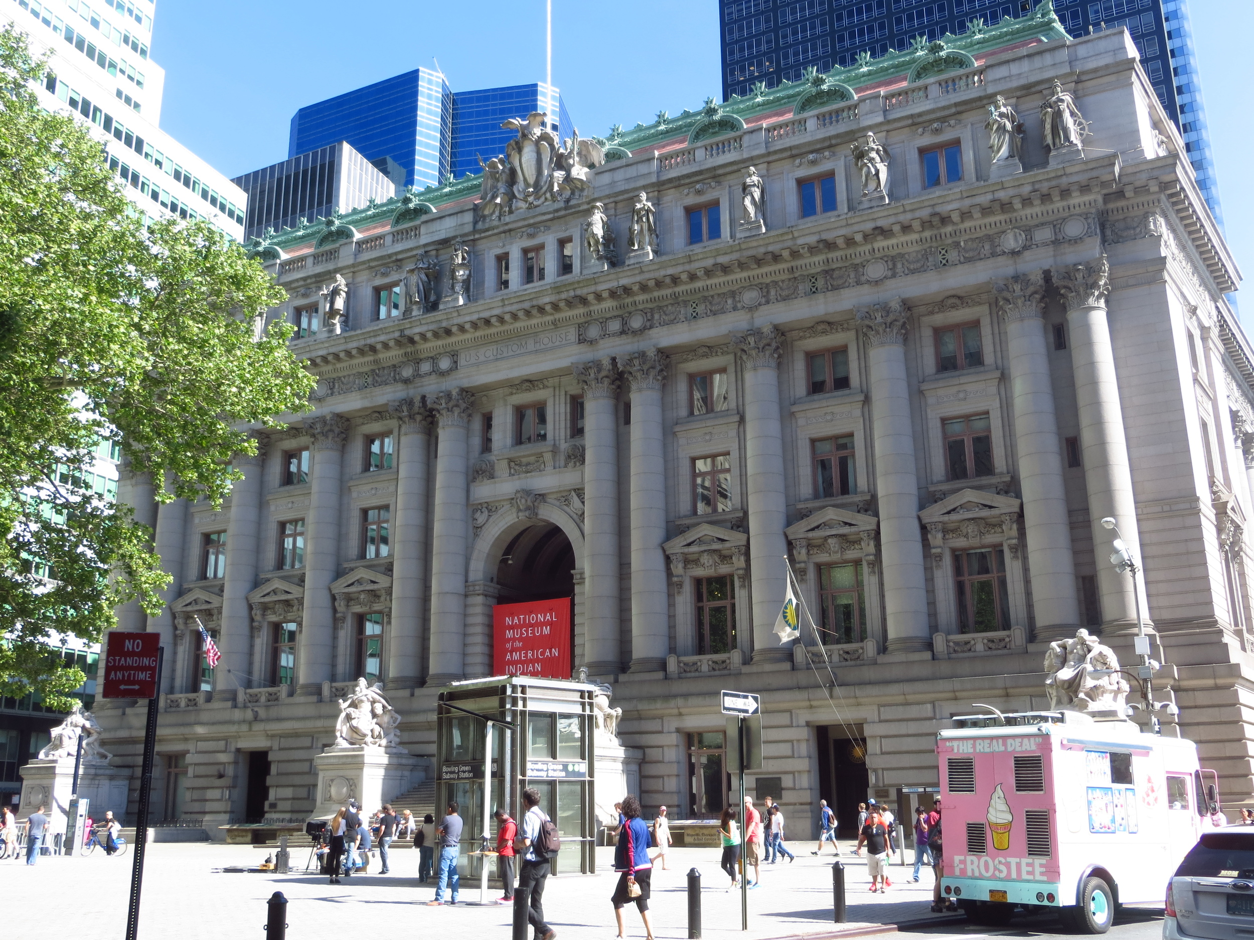
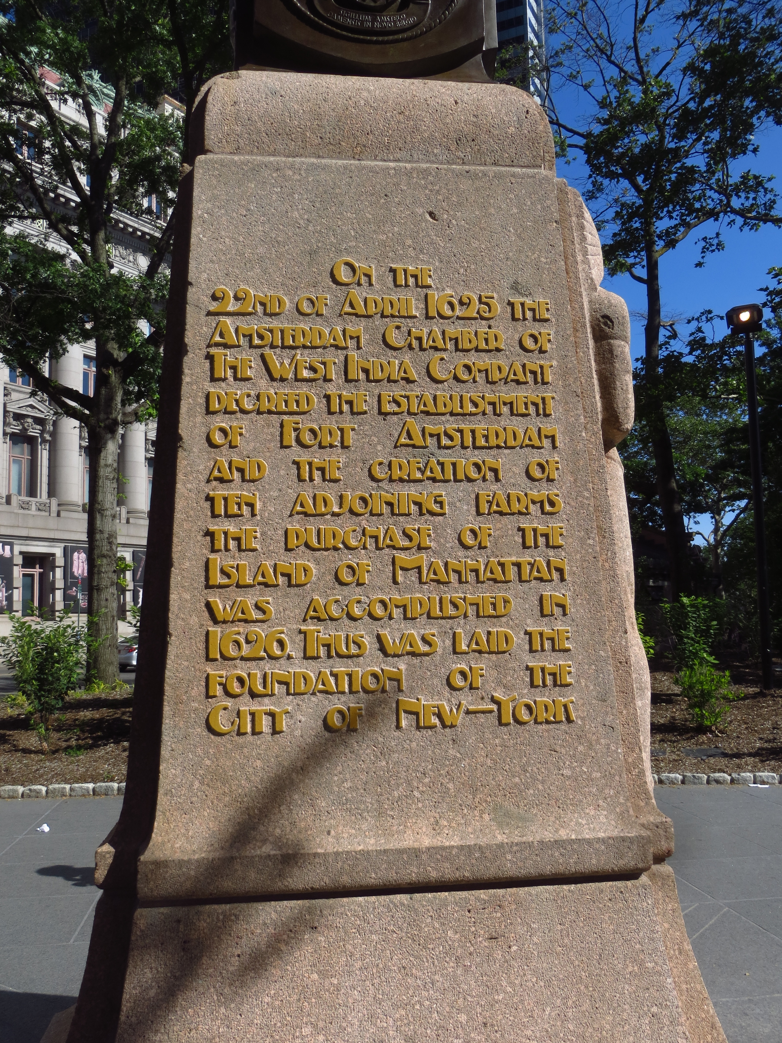
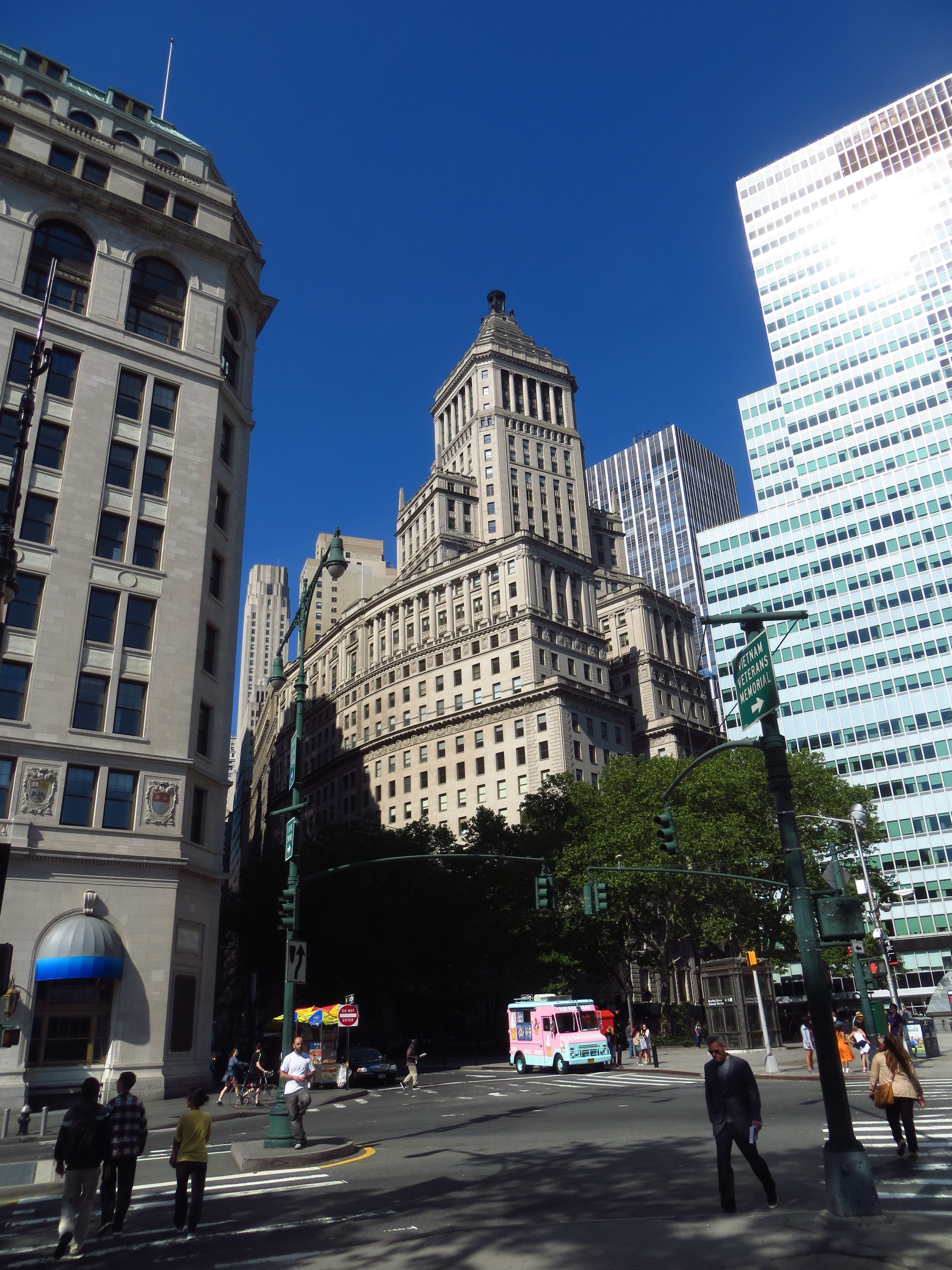
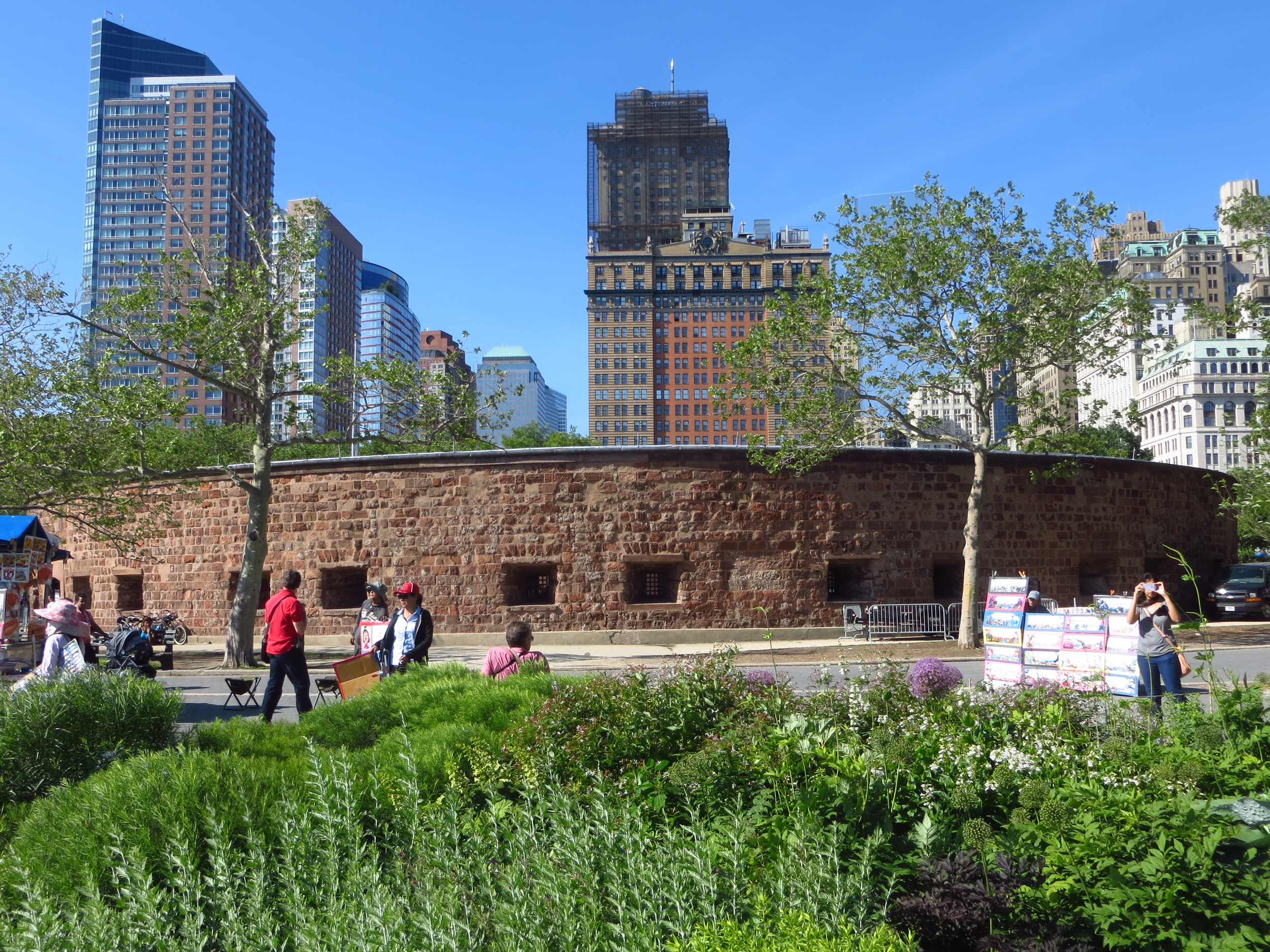
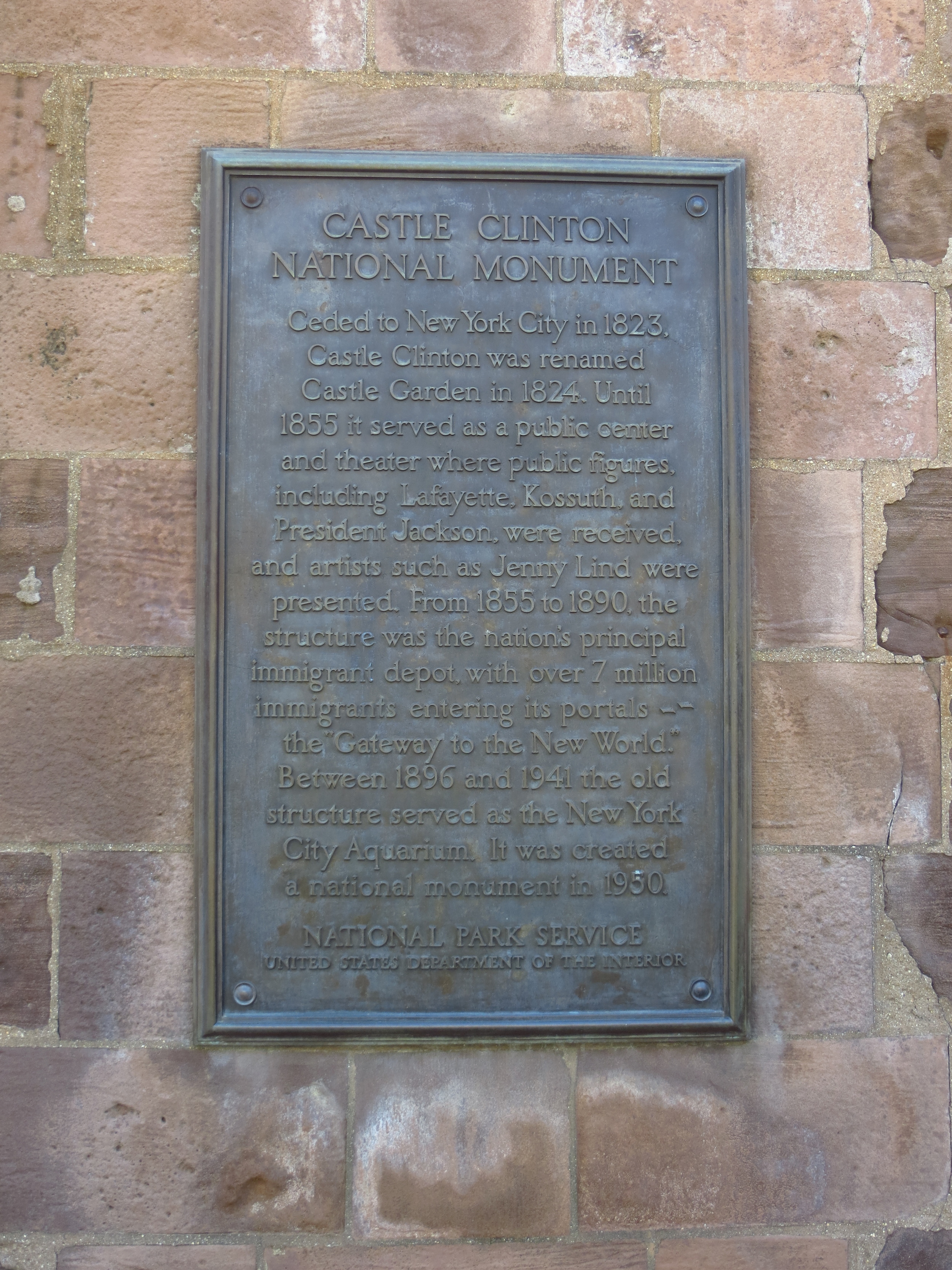
Broadway travels straight up from Battery Park, through the Financial District, passing old New York landmarks such as Bowling Green, Trinity Church, and St. Paul Chapel.  It also hosts the Charging Bull of Wall Street statue, which for some reason isn't on Wall Street.  This section is sometimes called the "Canyon of Heroes", as it was the historical location of the City's iconic ticker-tape parades.  There are markers in the side walk for each of these parades, listing the date and the notable person or people being honored.  Some are kind of cool (astronauts, pioneering aviators, olympians, powerful heads of state, etc.), but for some of them you have to wonder if they were just long on ticker-tape and needed a reason to get rid of it.

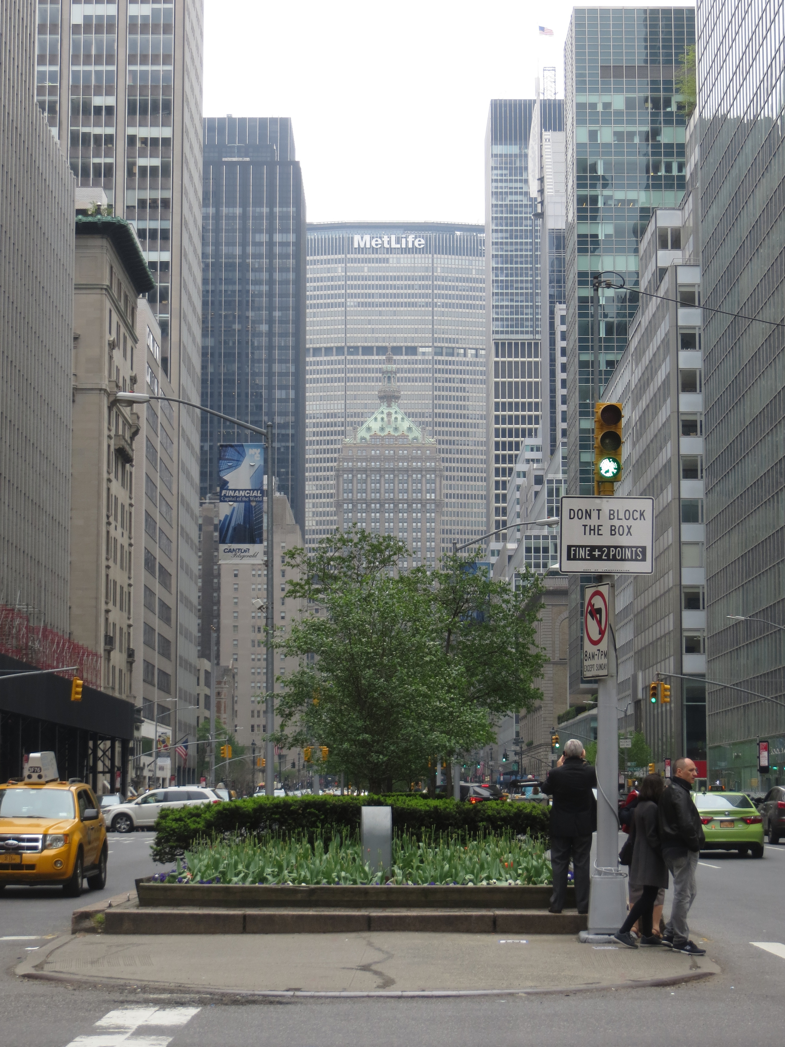
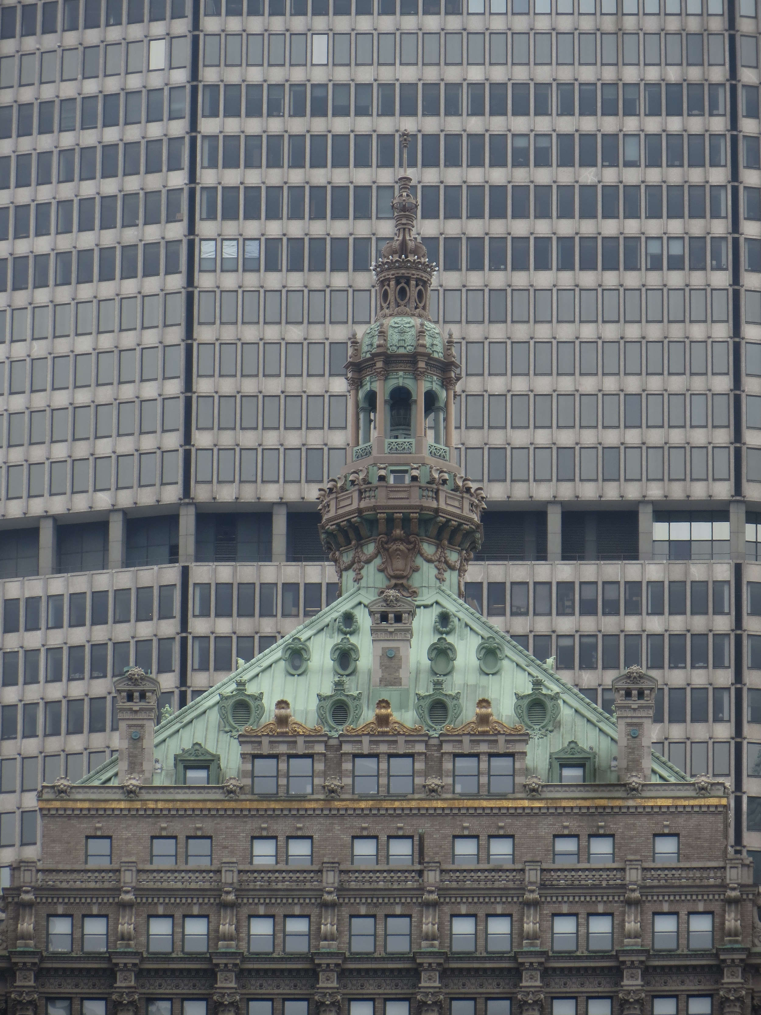
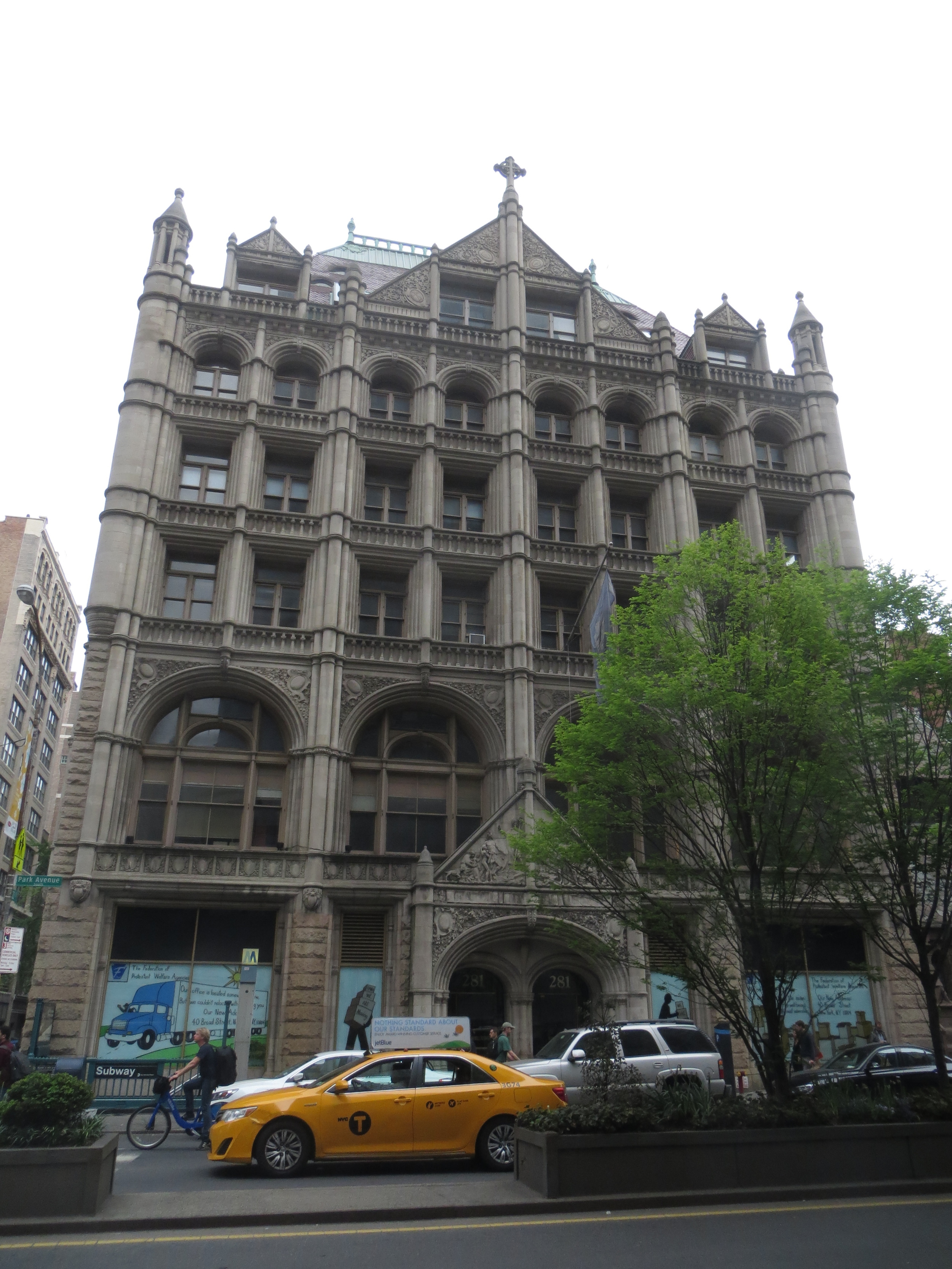
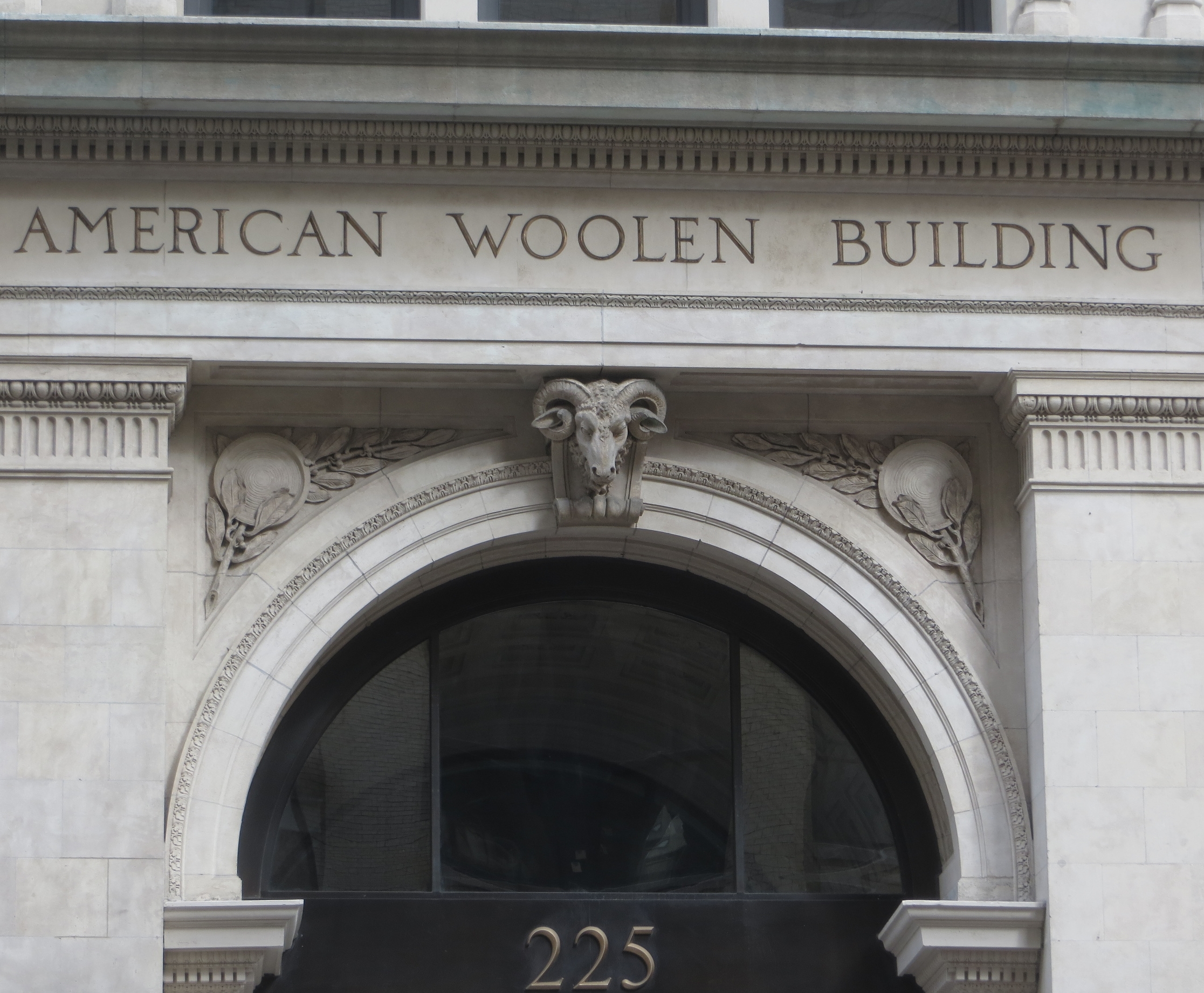
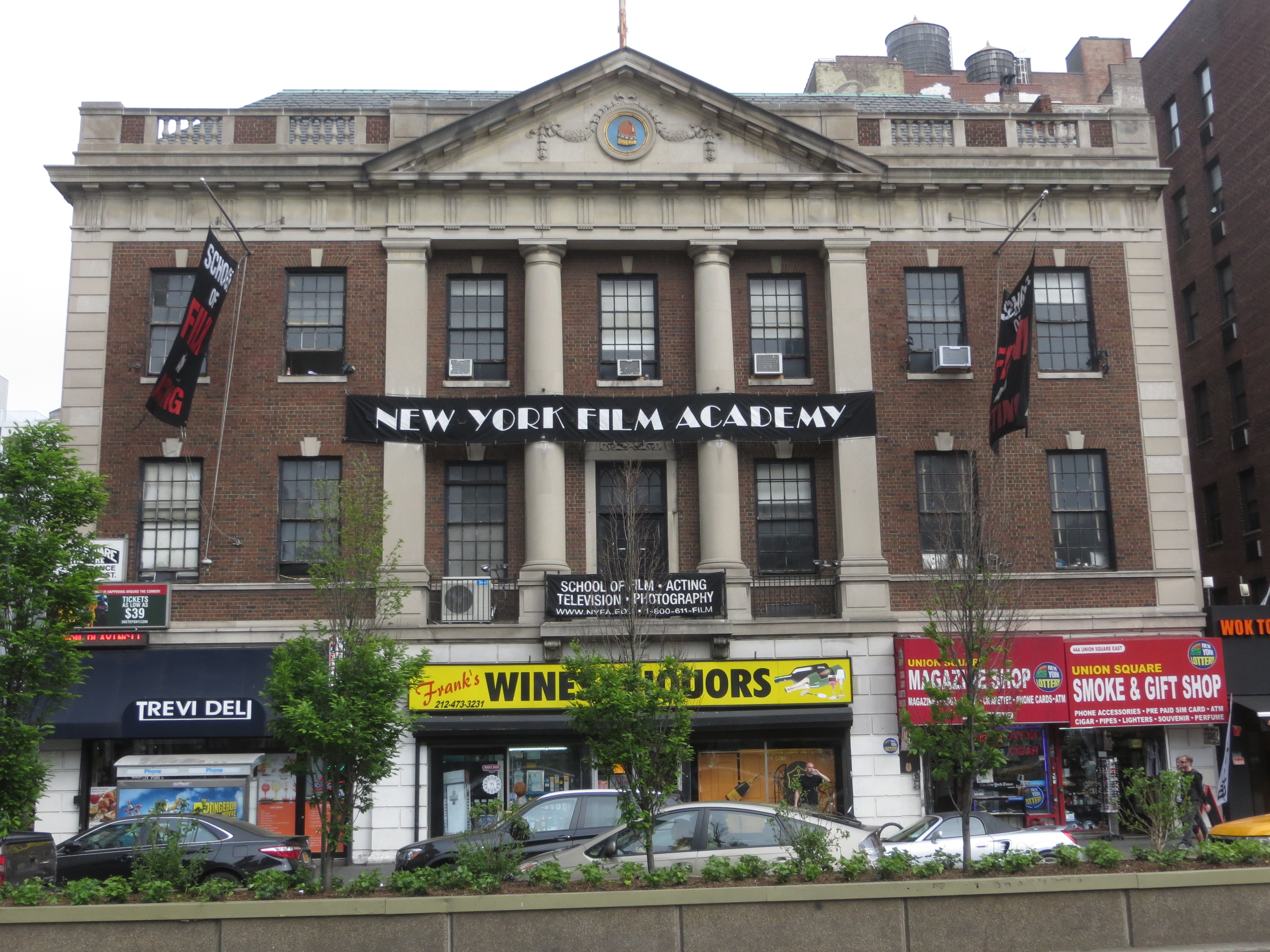
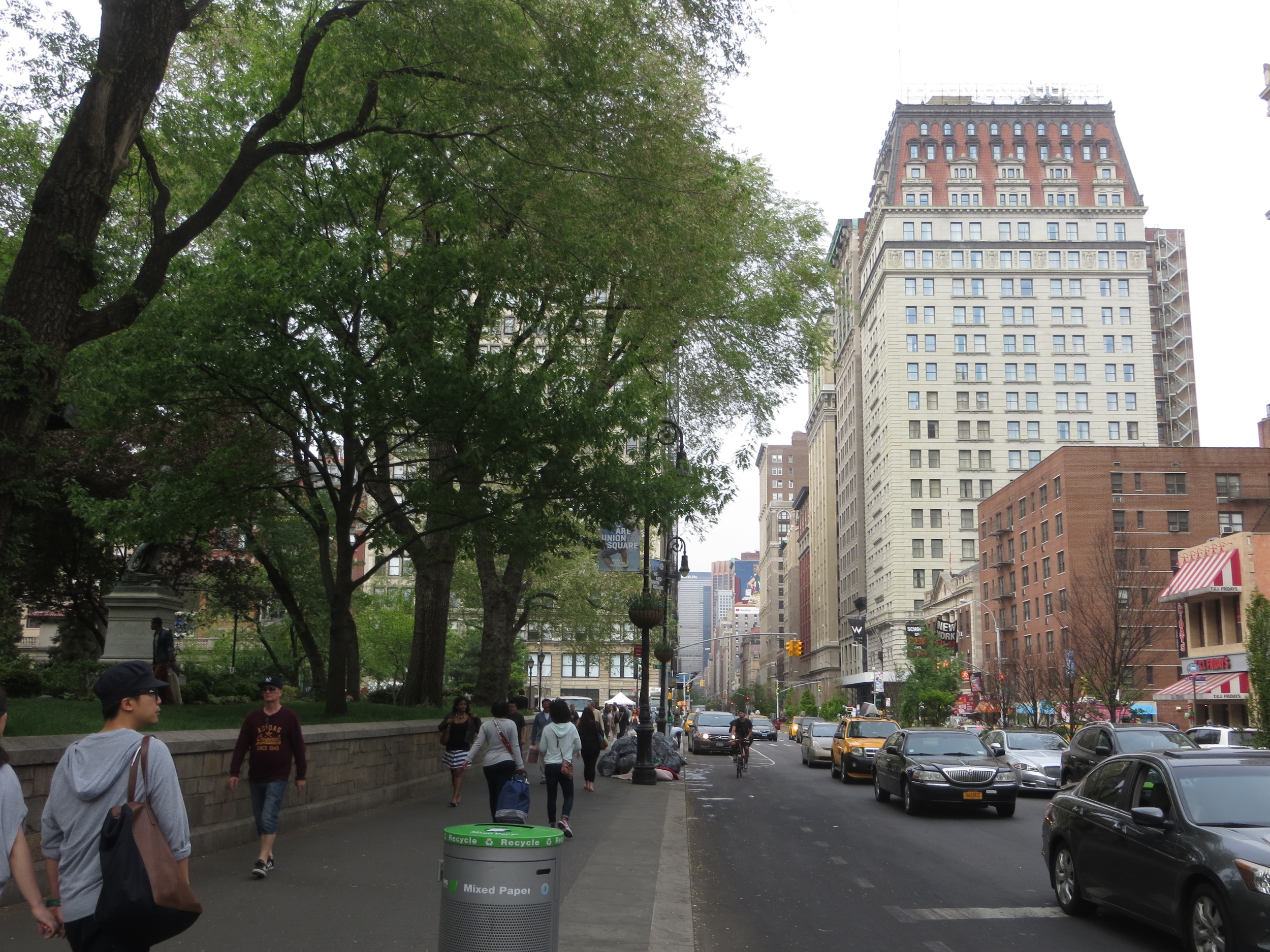
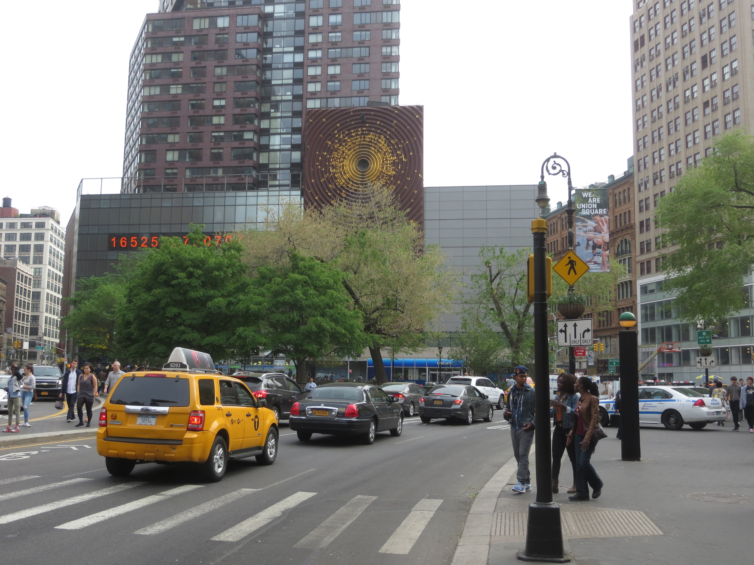
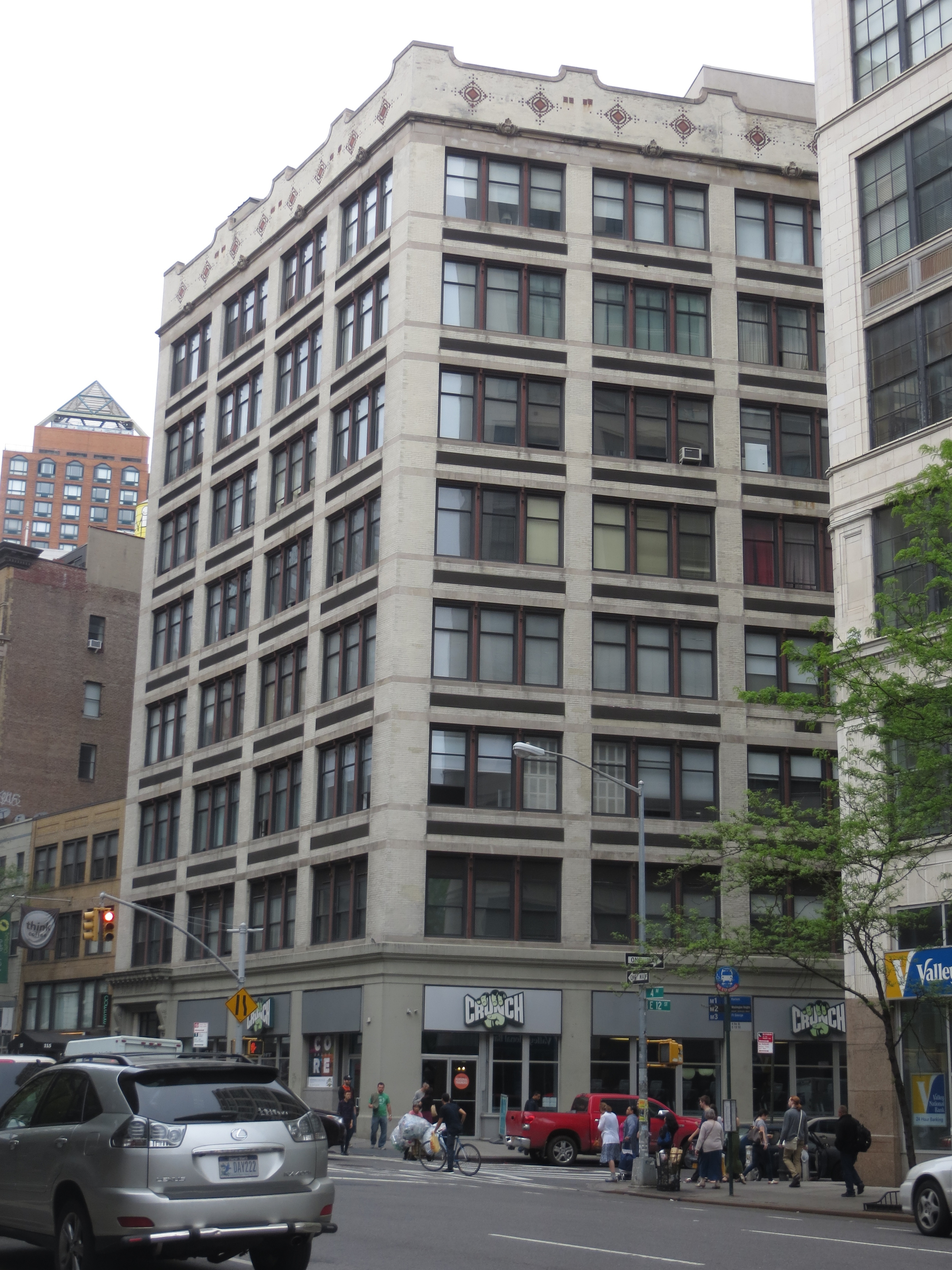
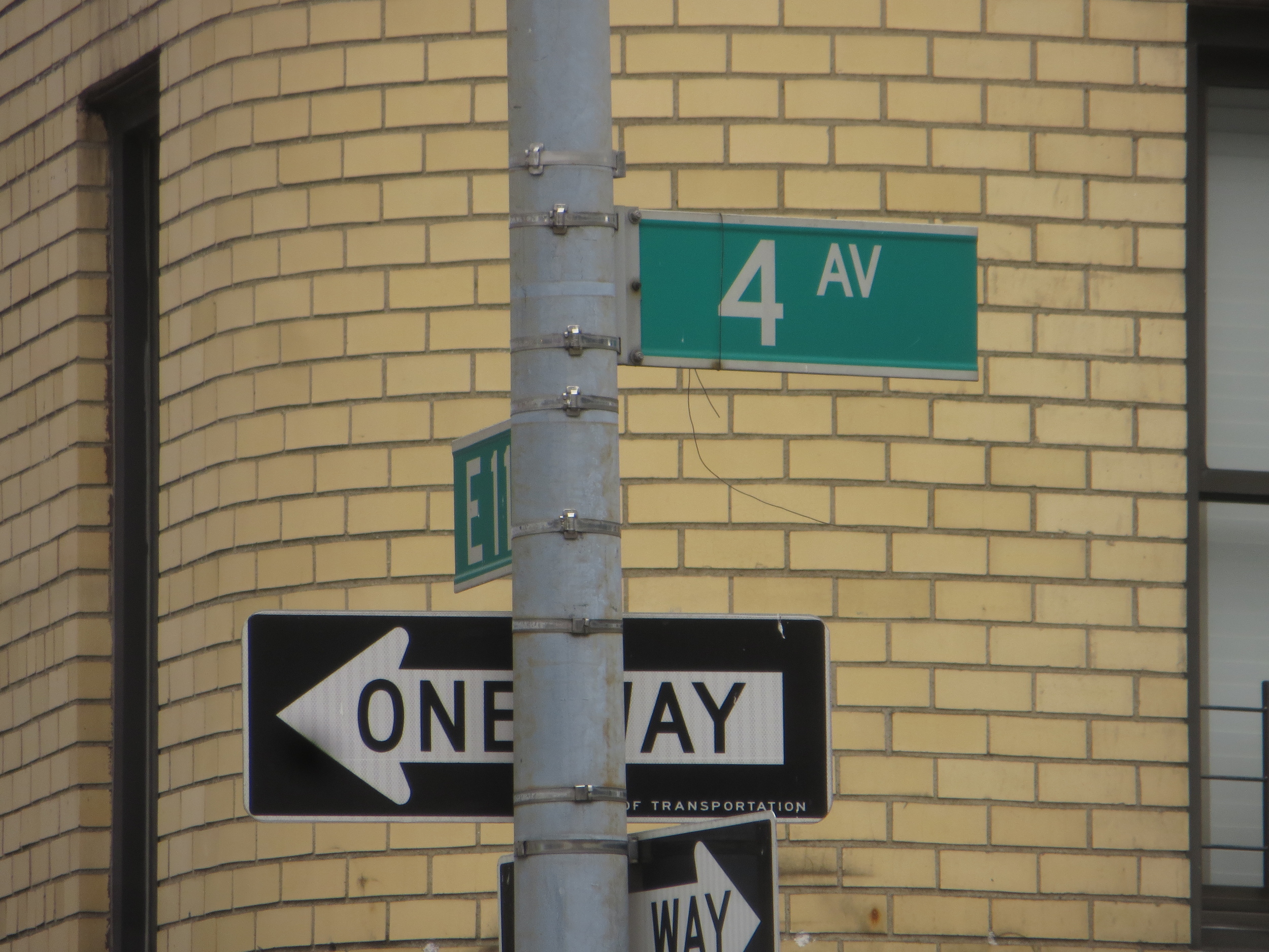
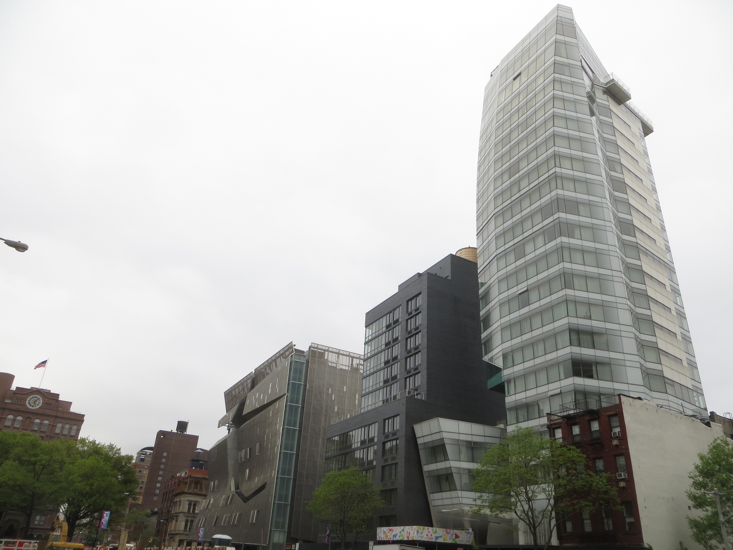
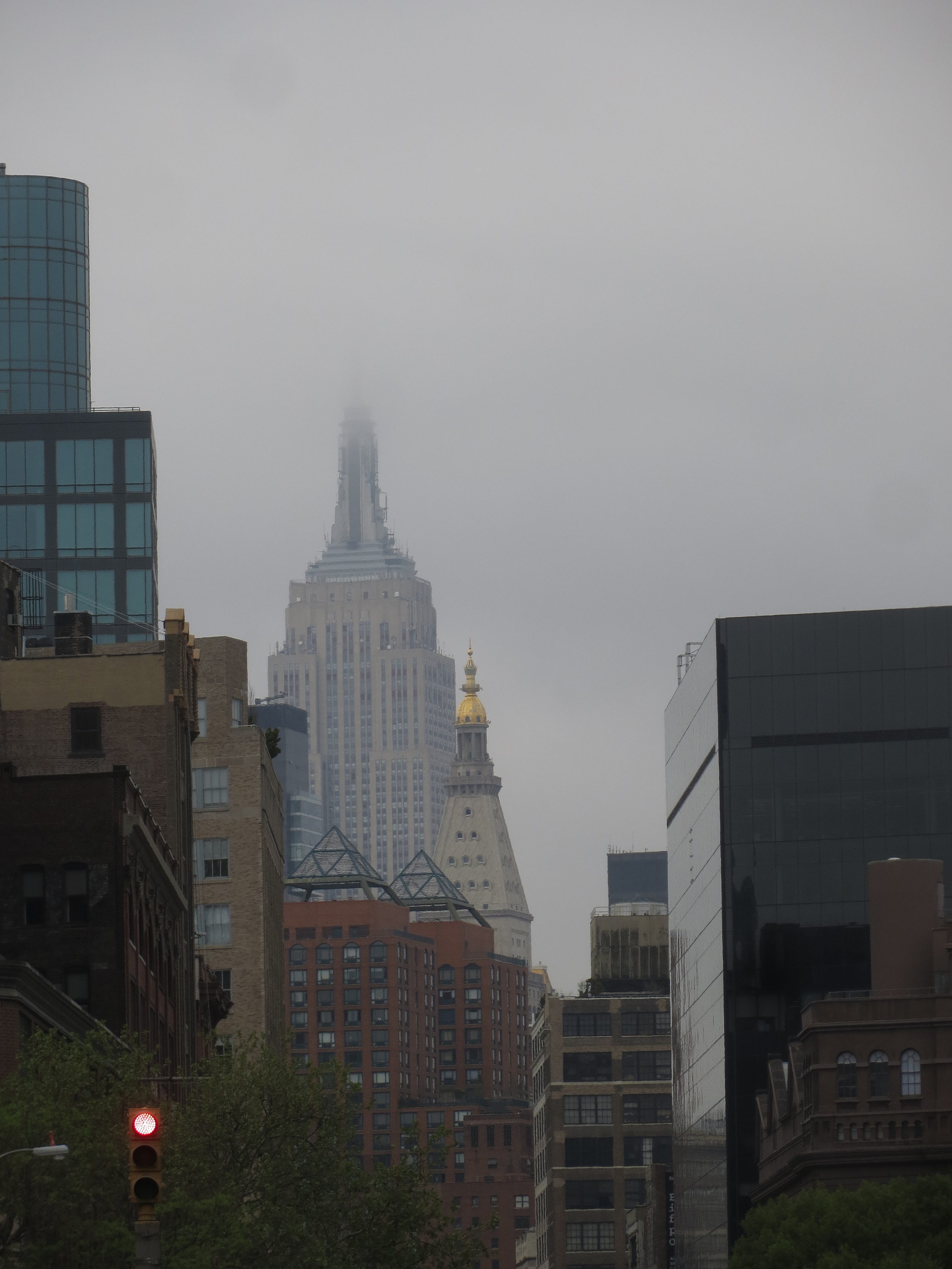
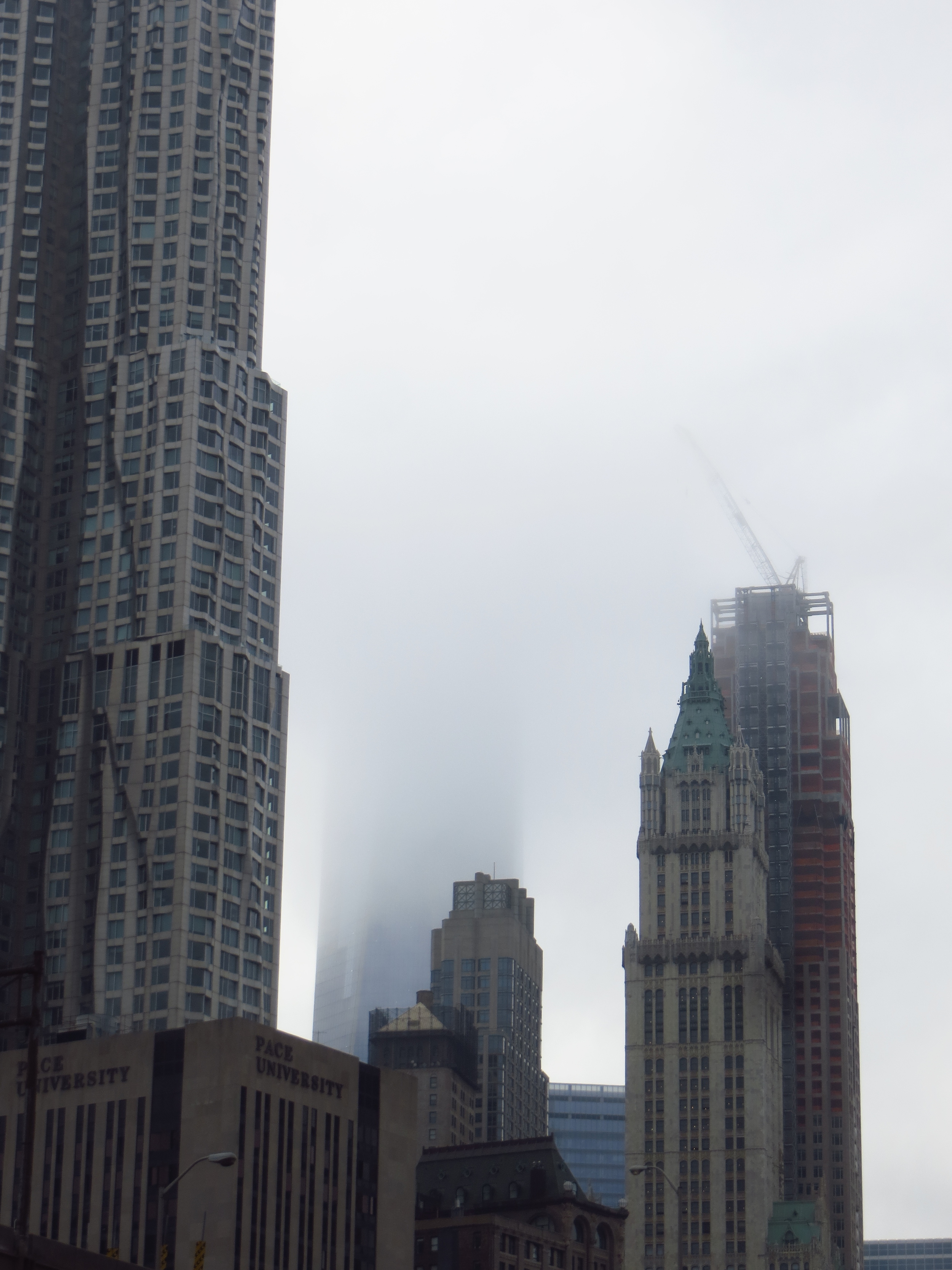
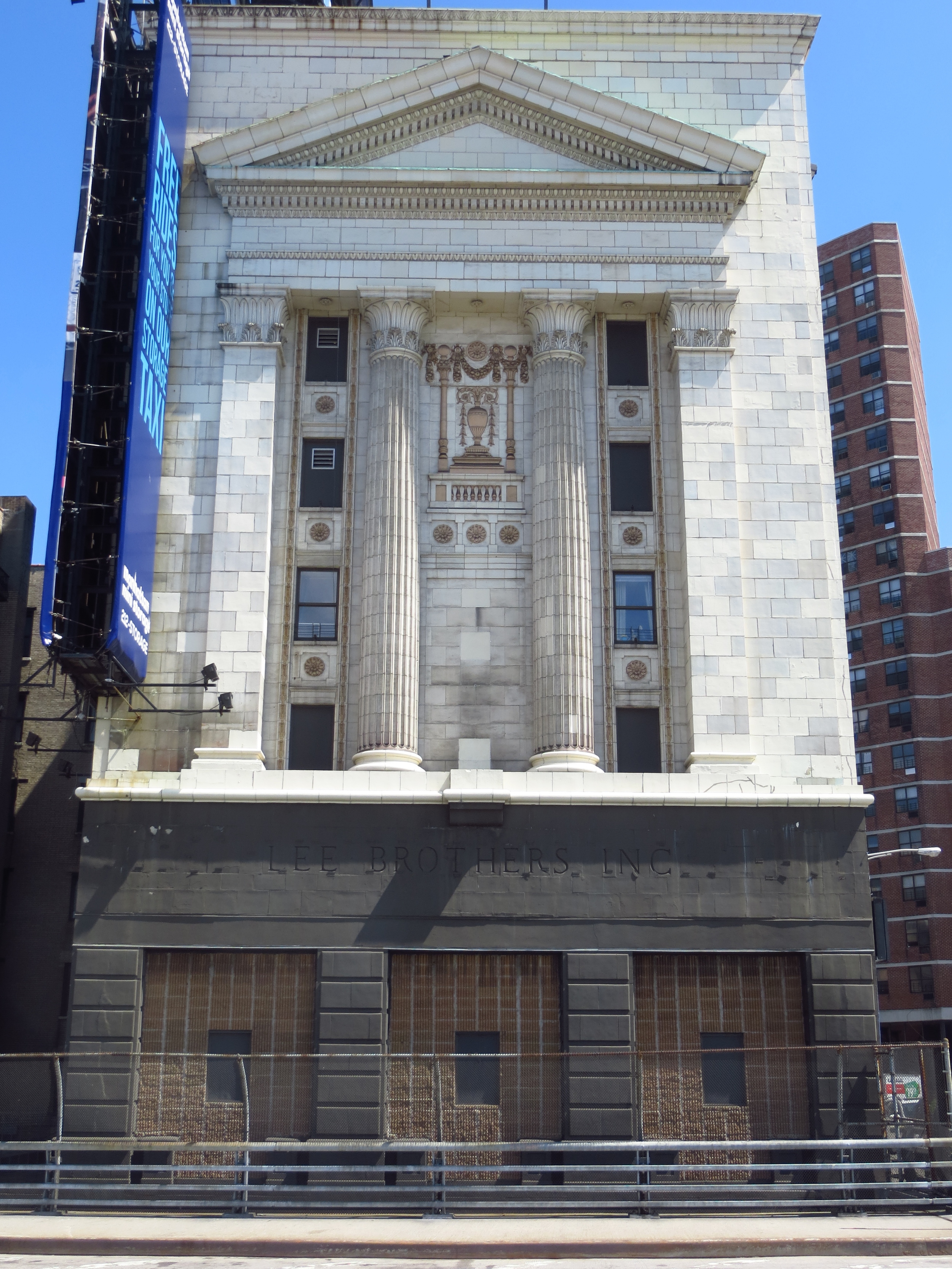
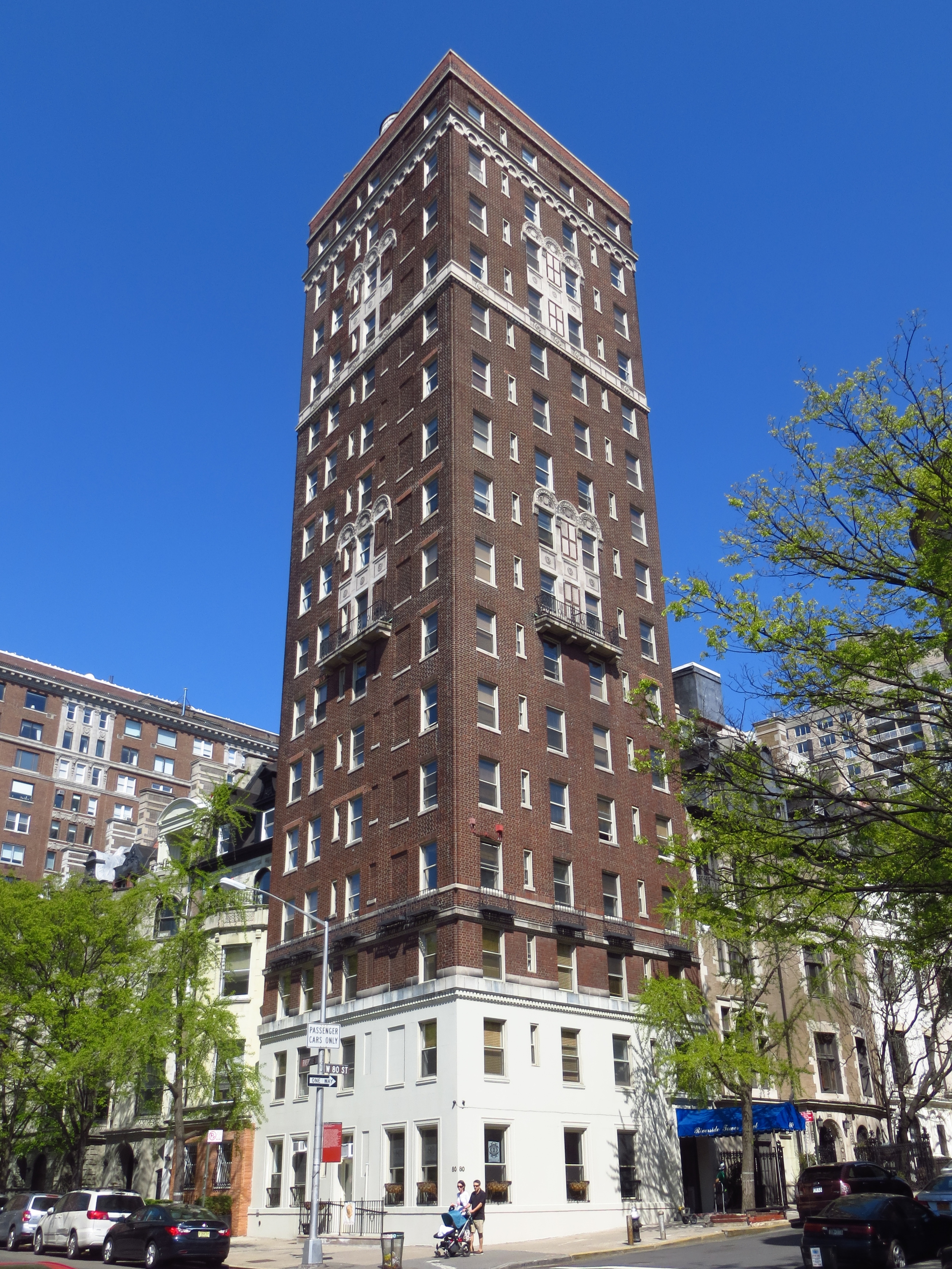
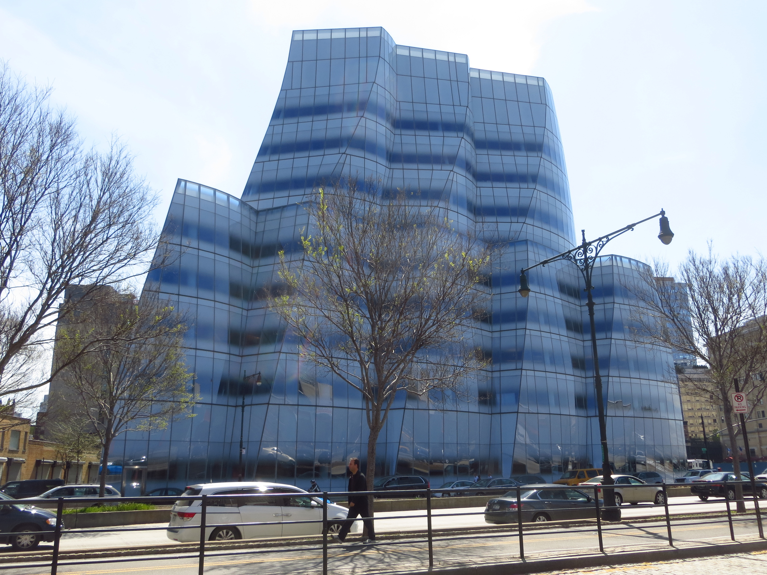
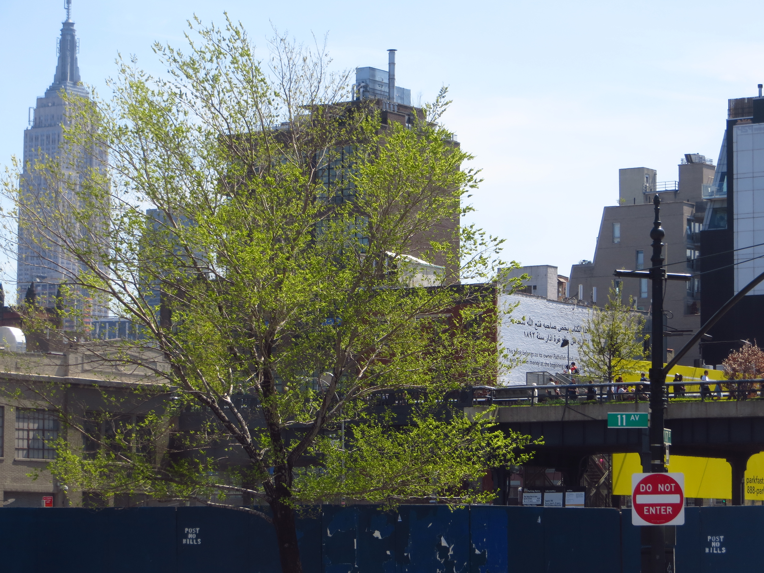
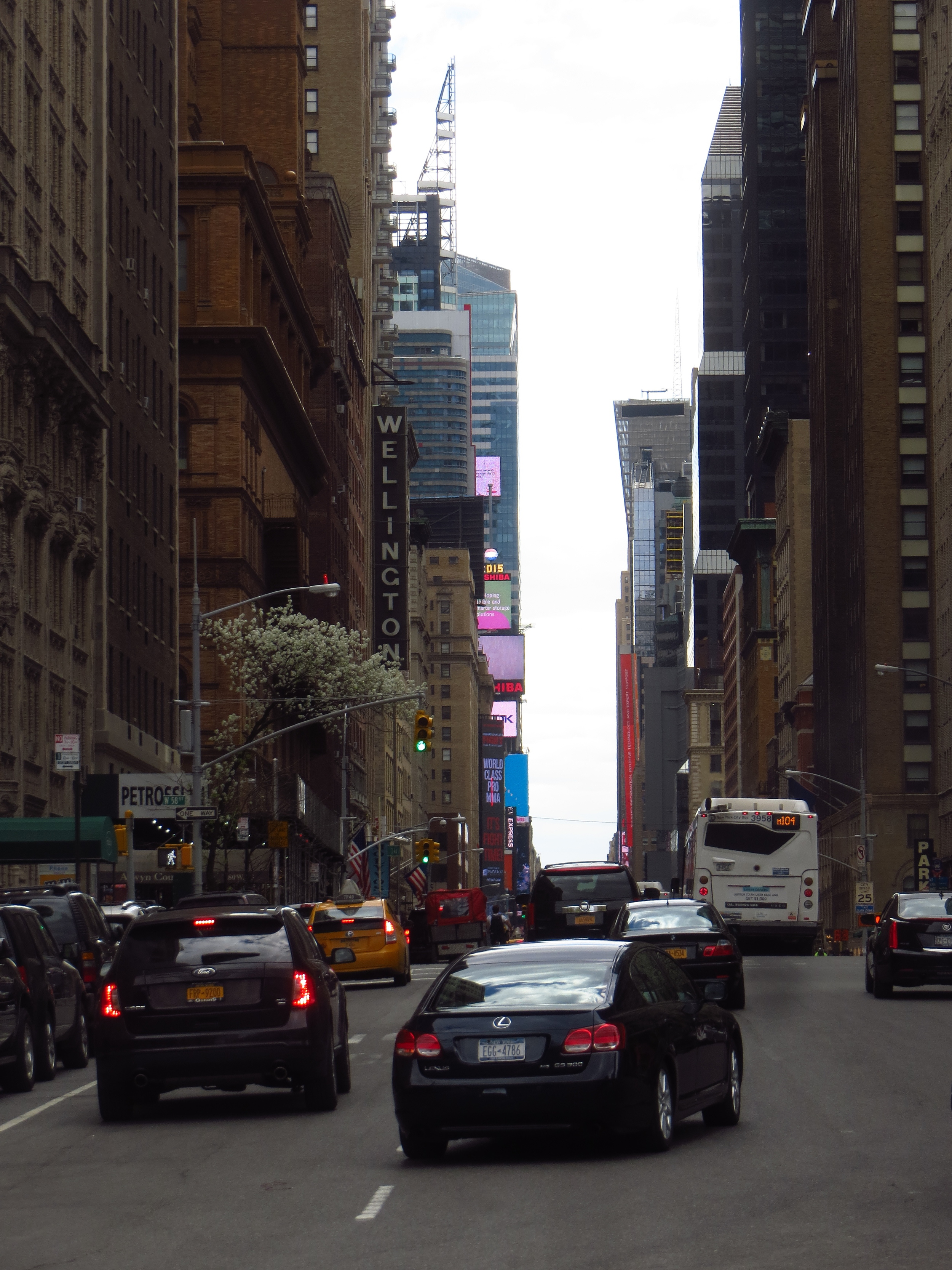
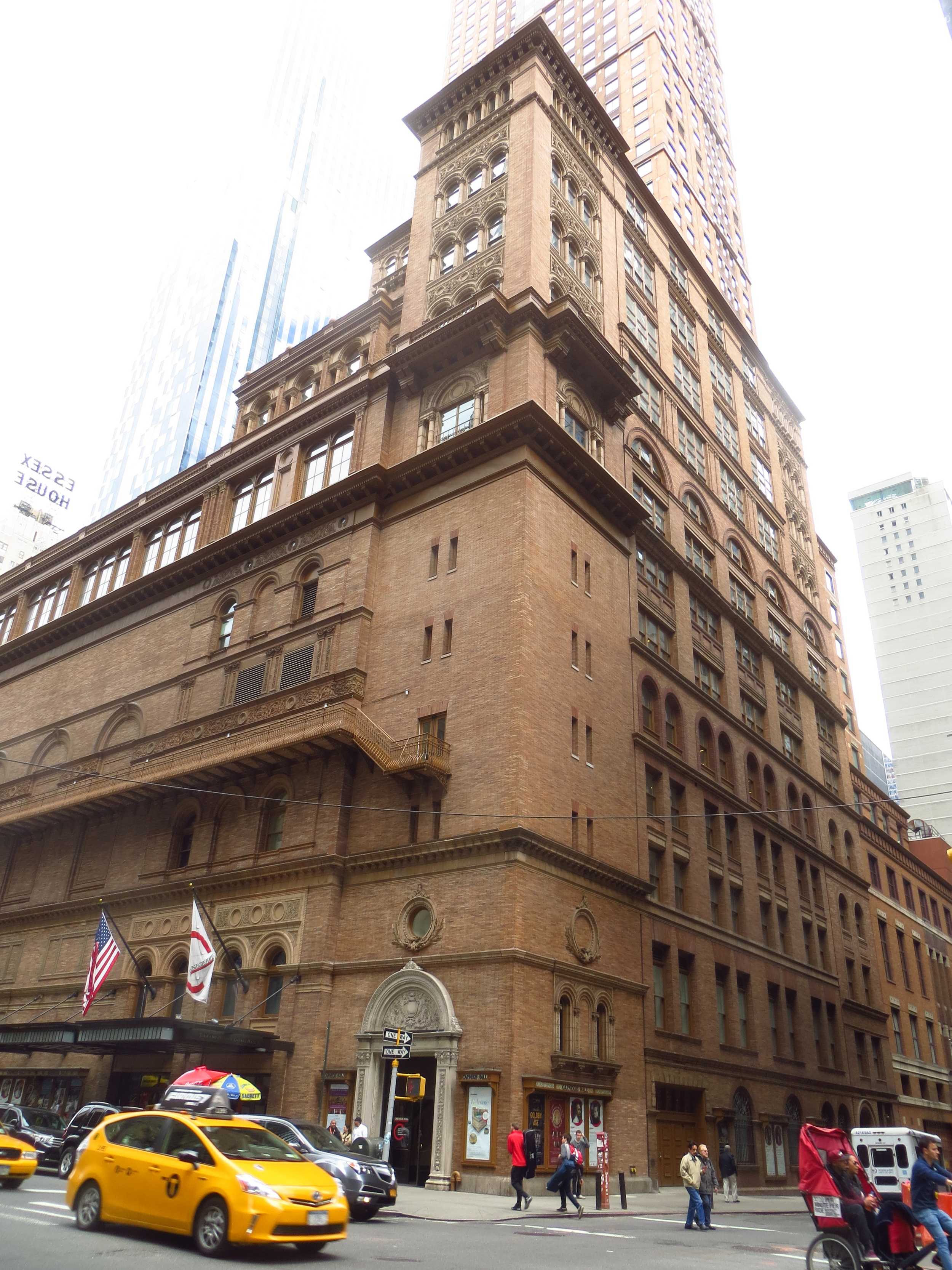
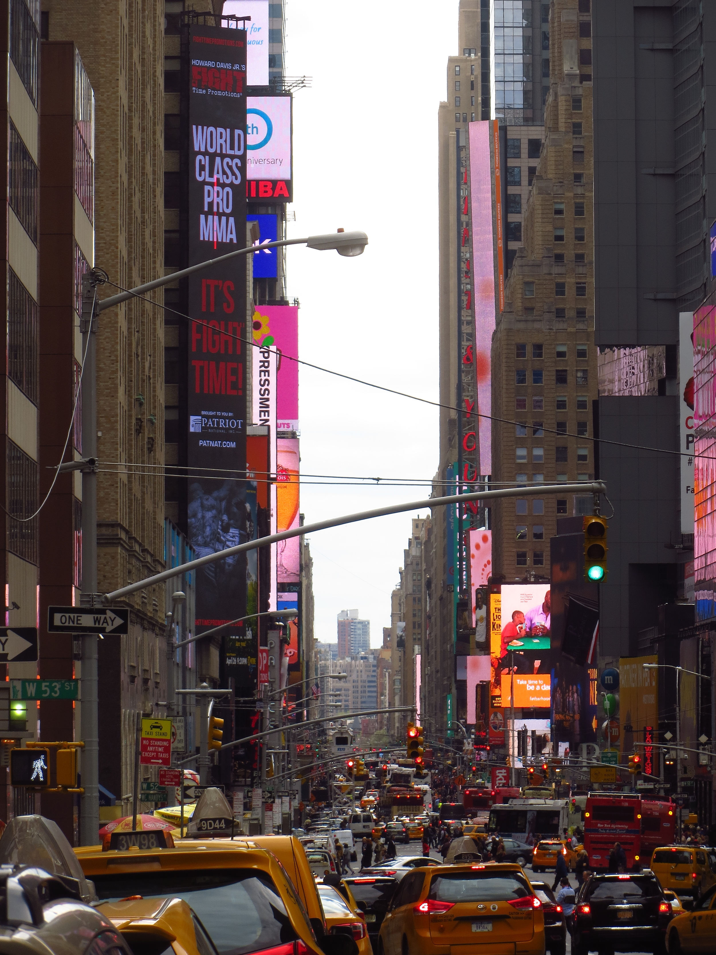
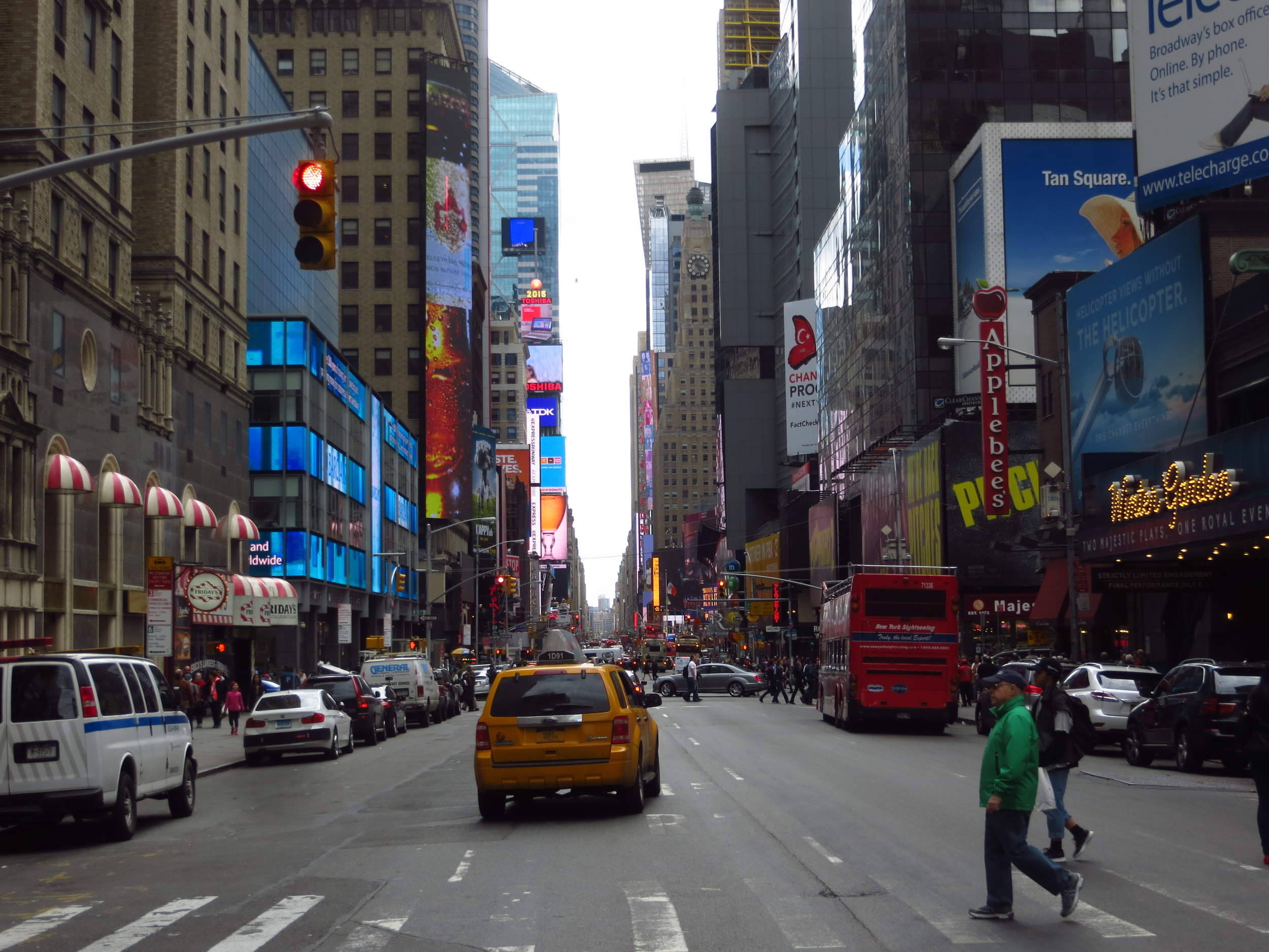
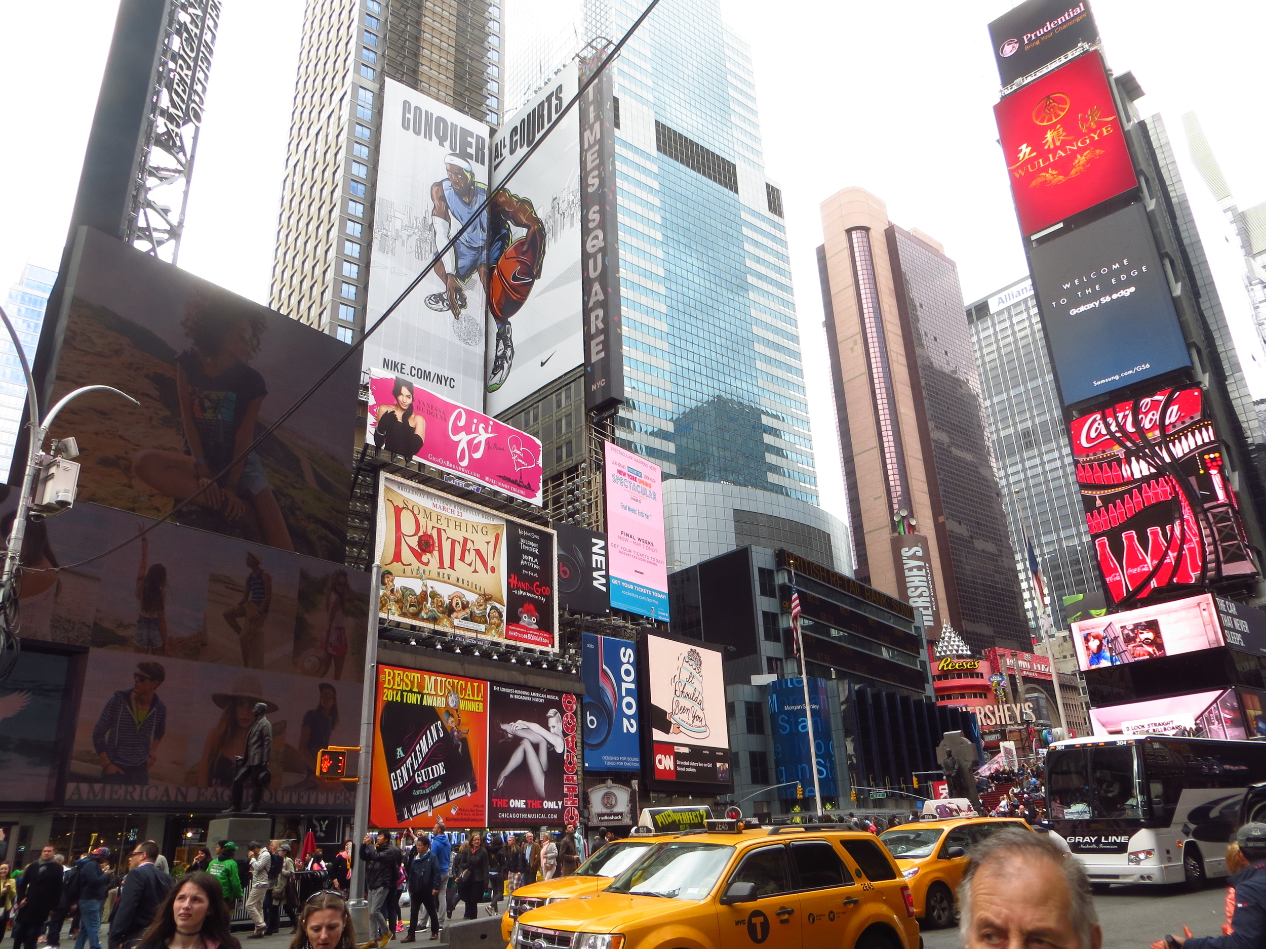
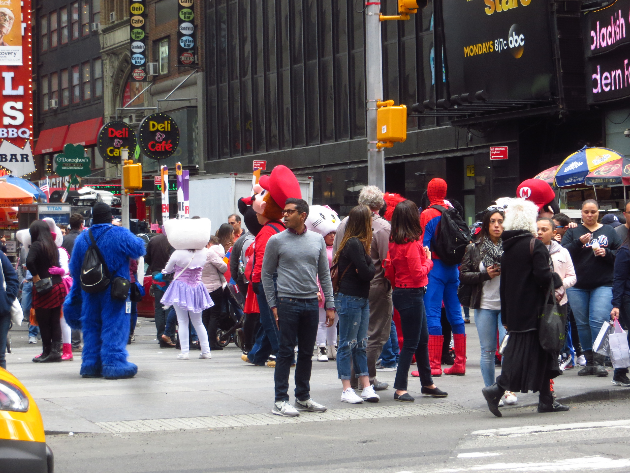
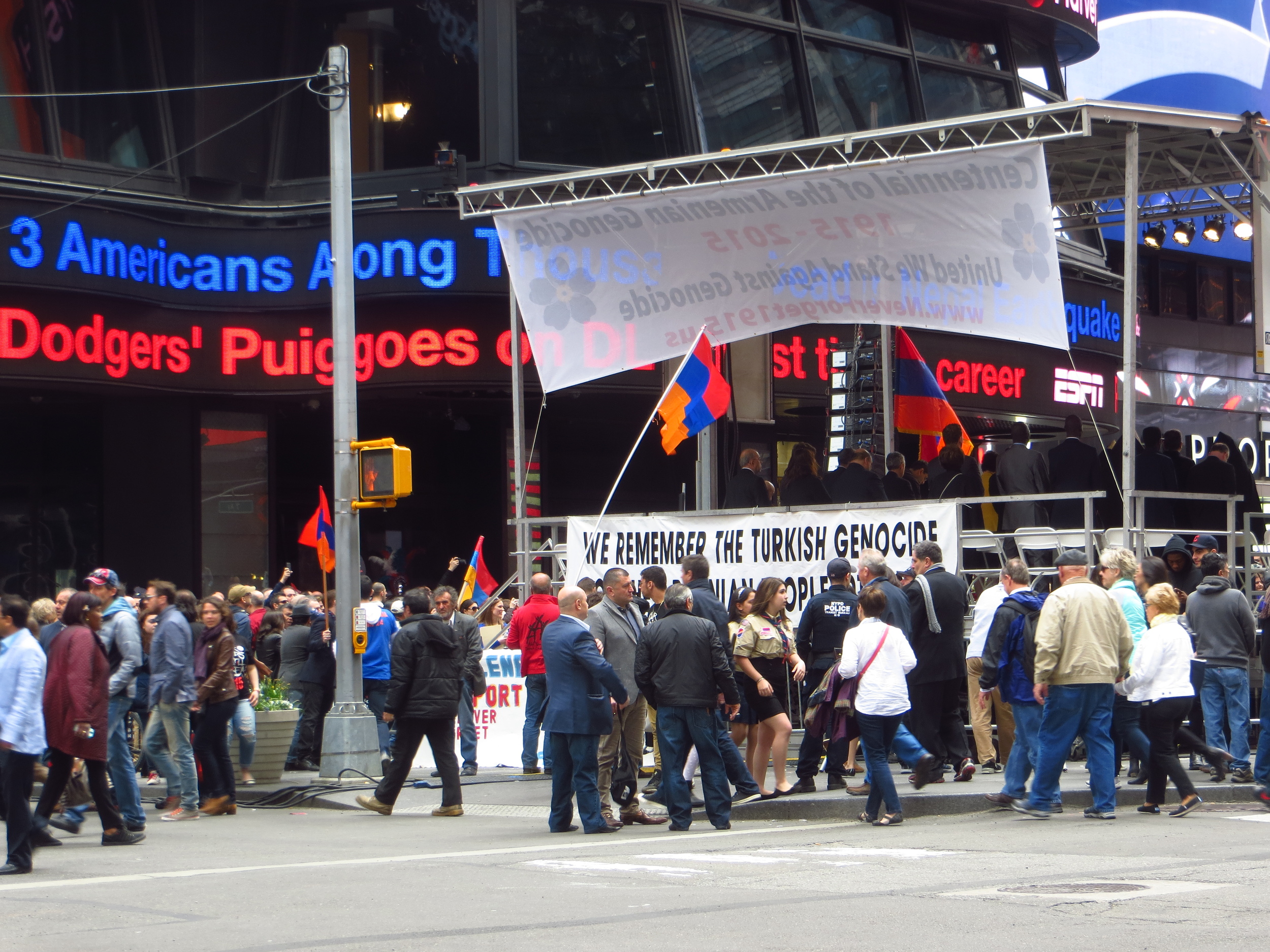
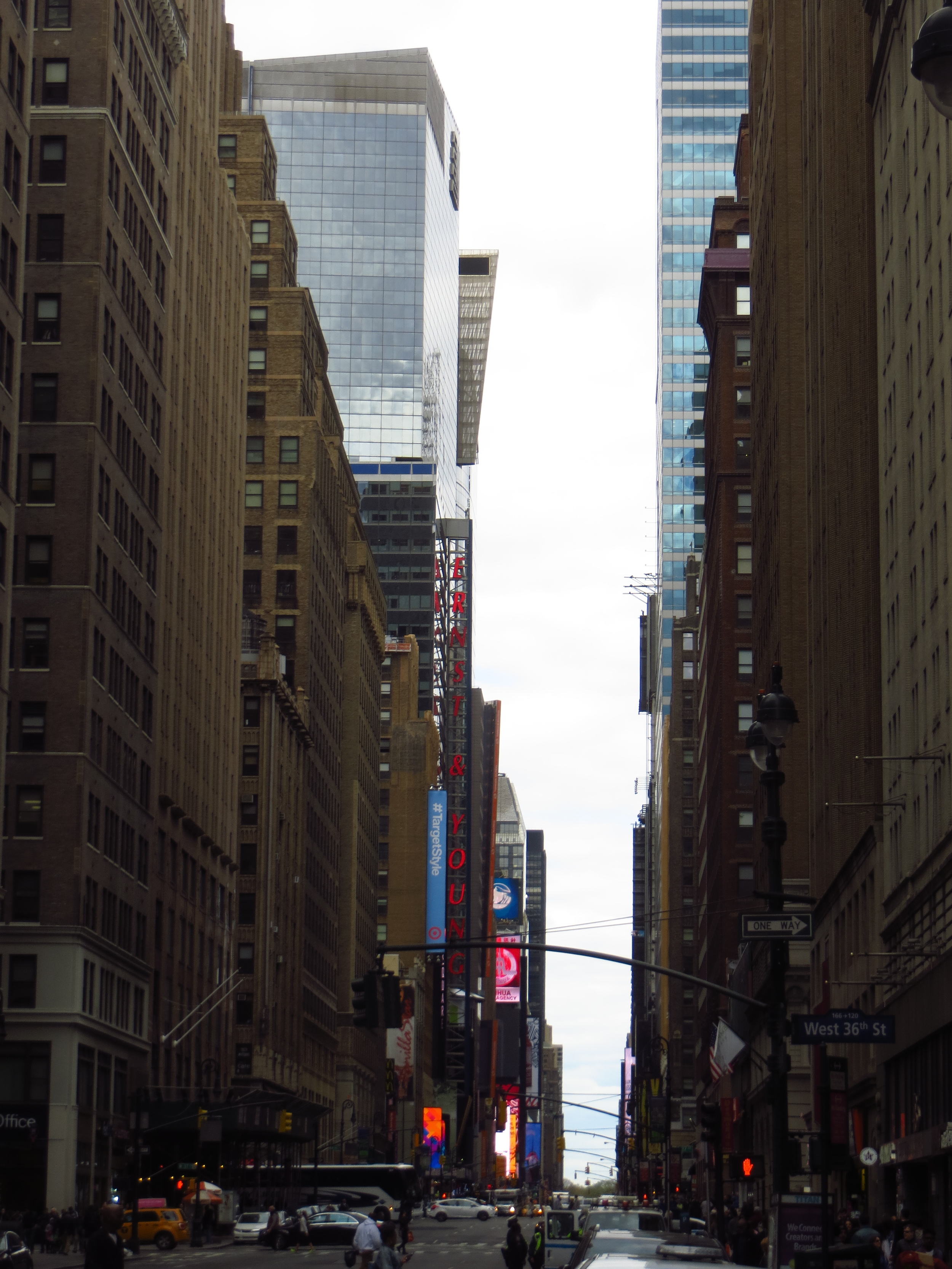
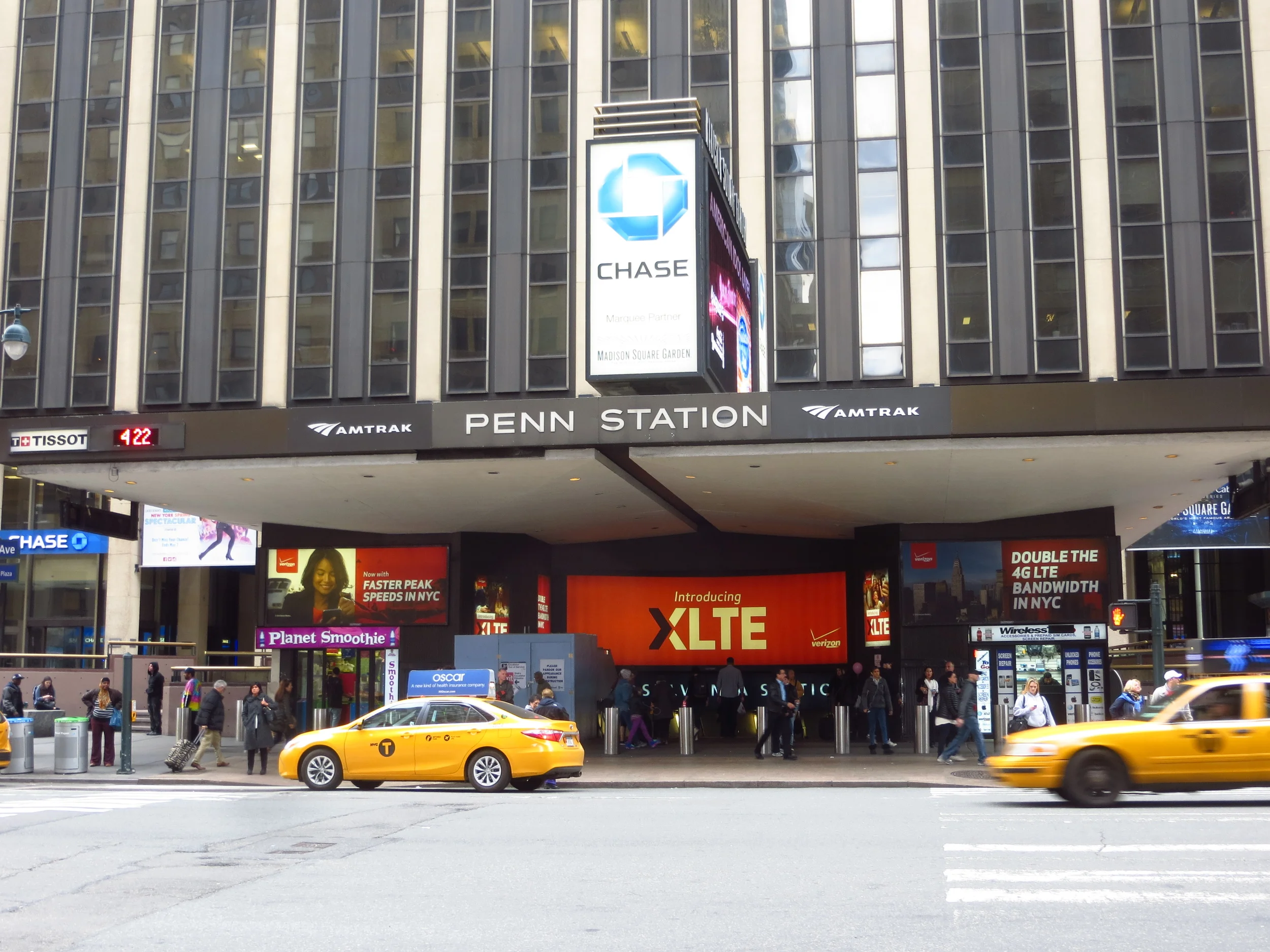
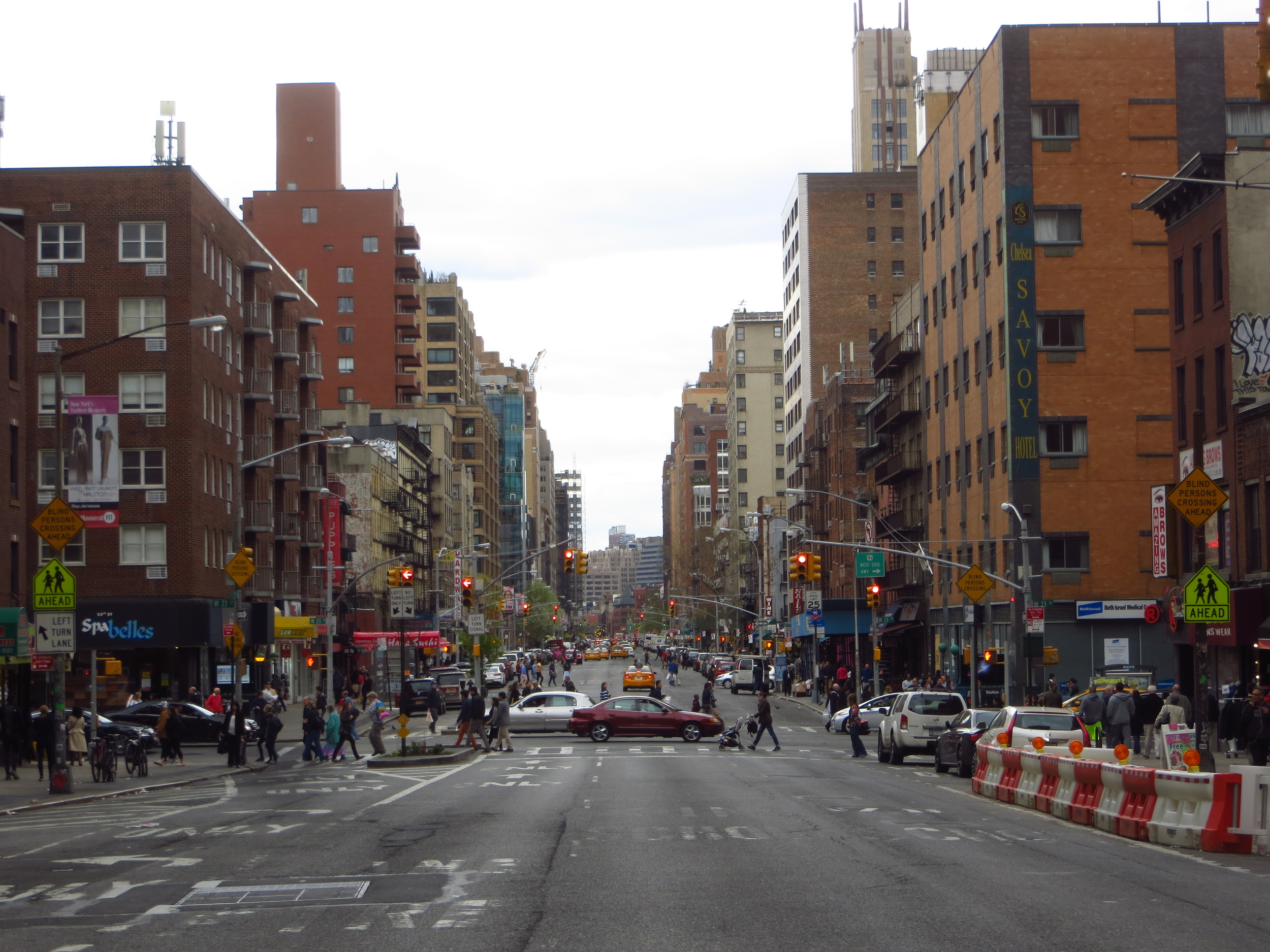
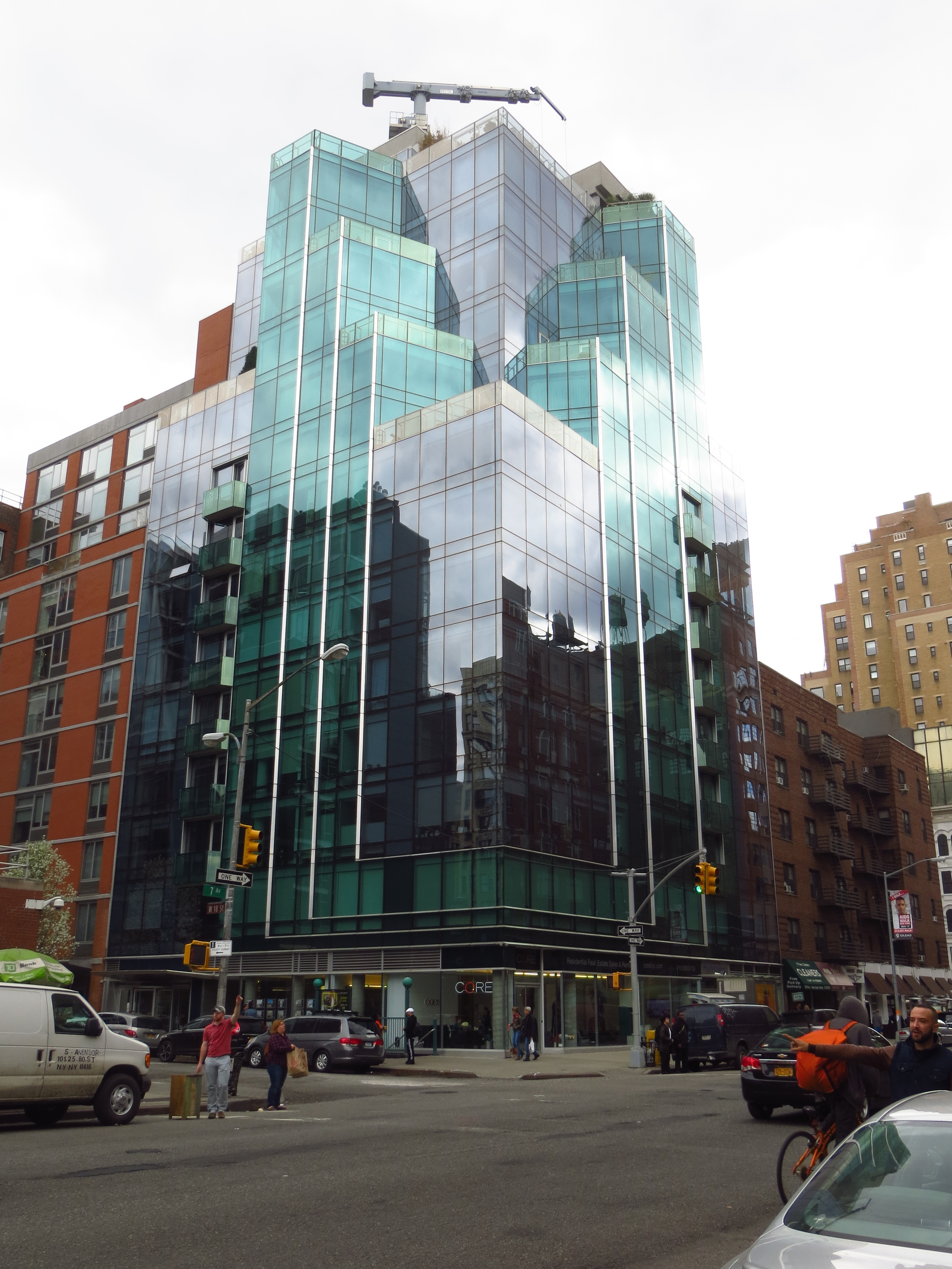
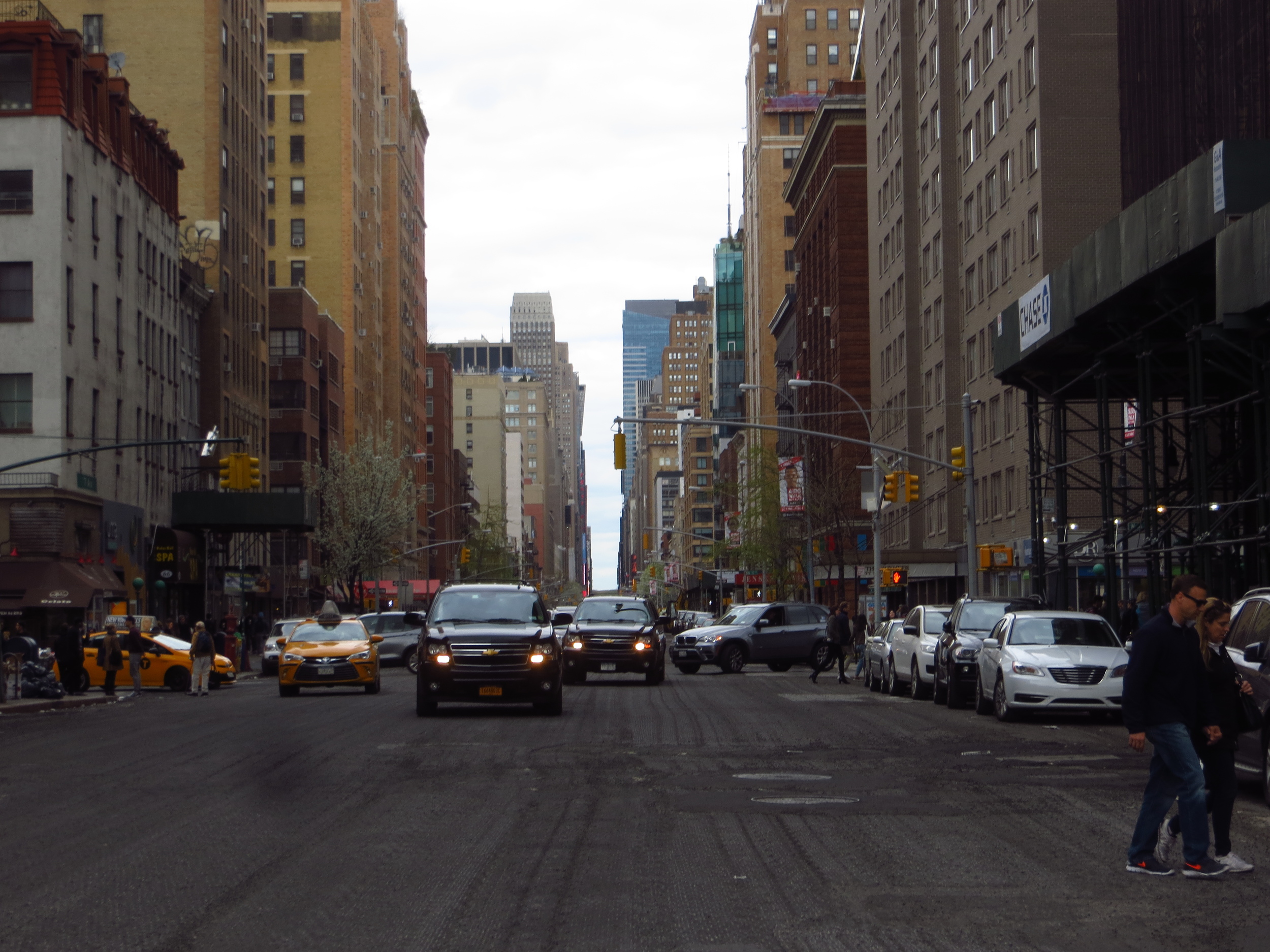
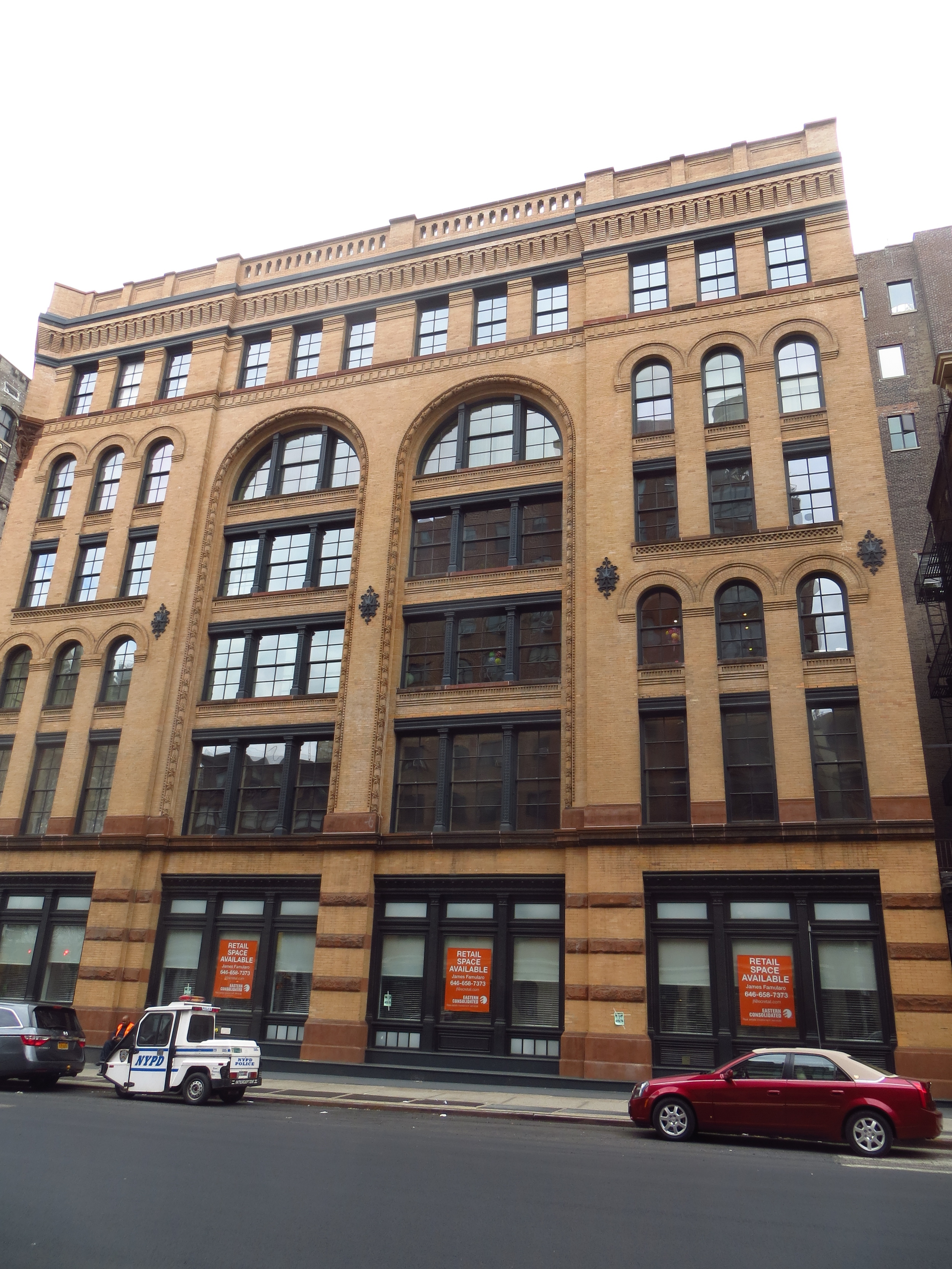
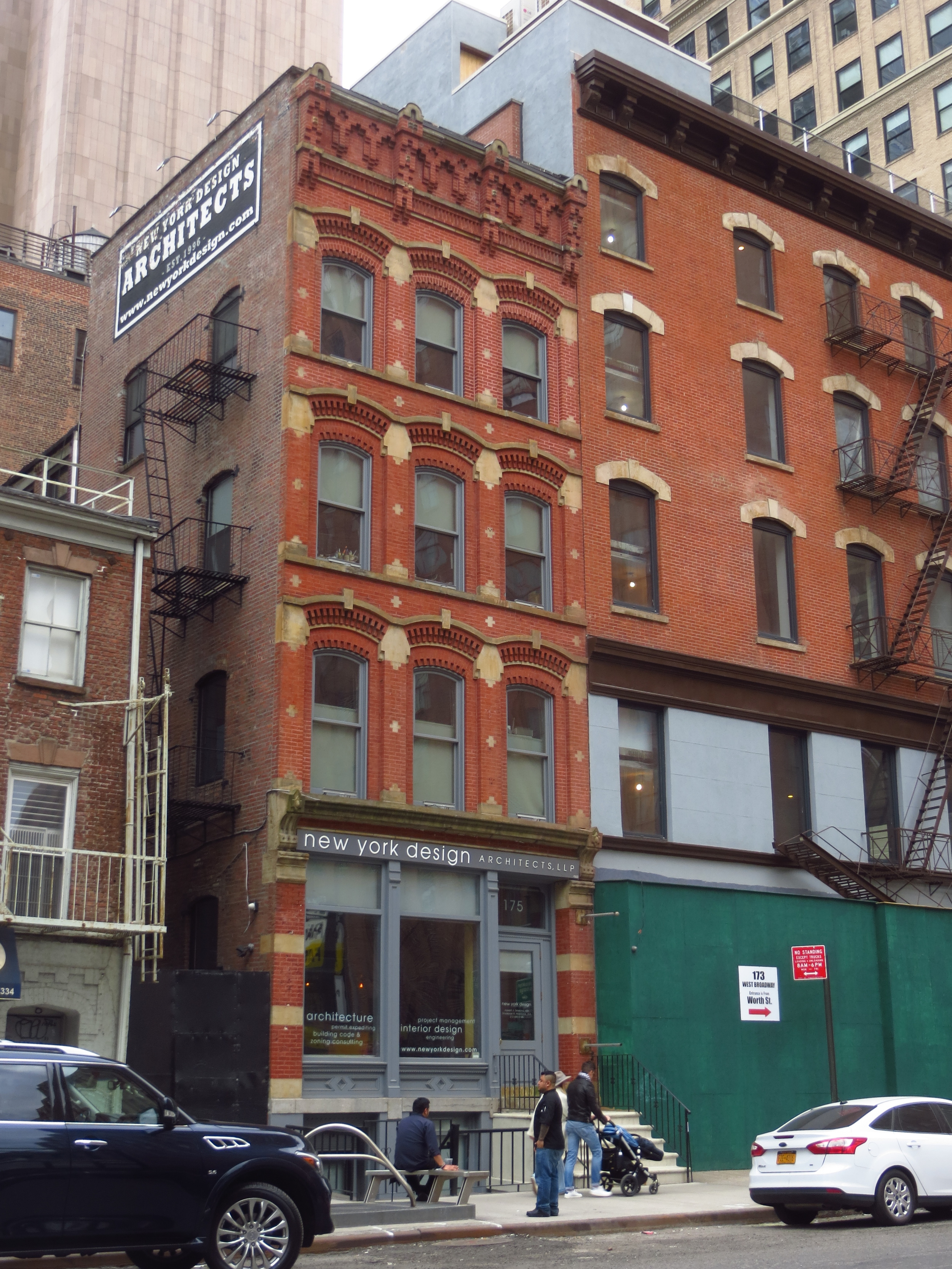
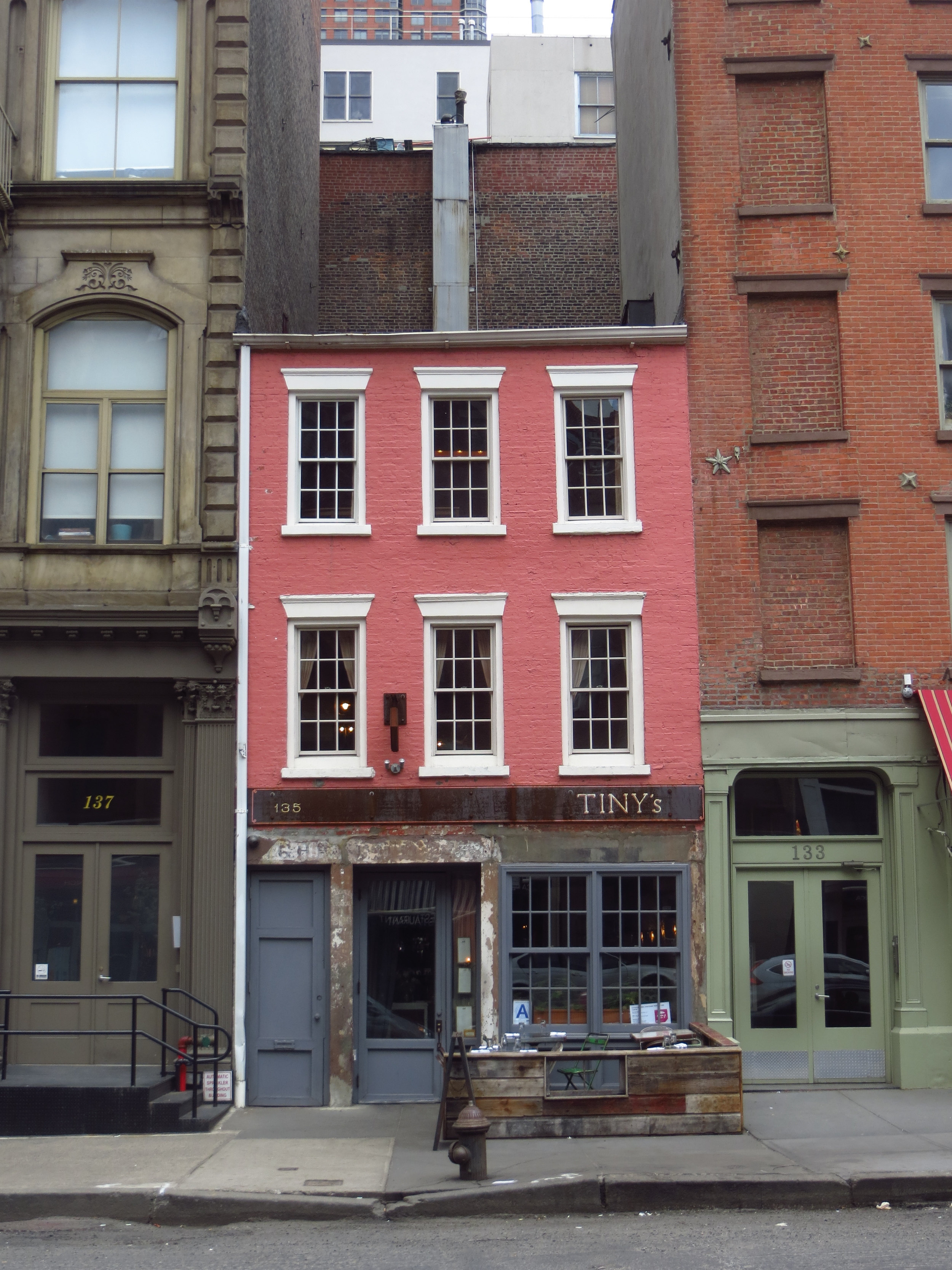
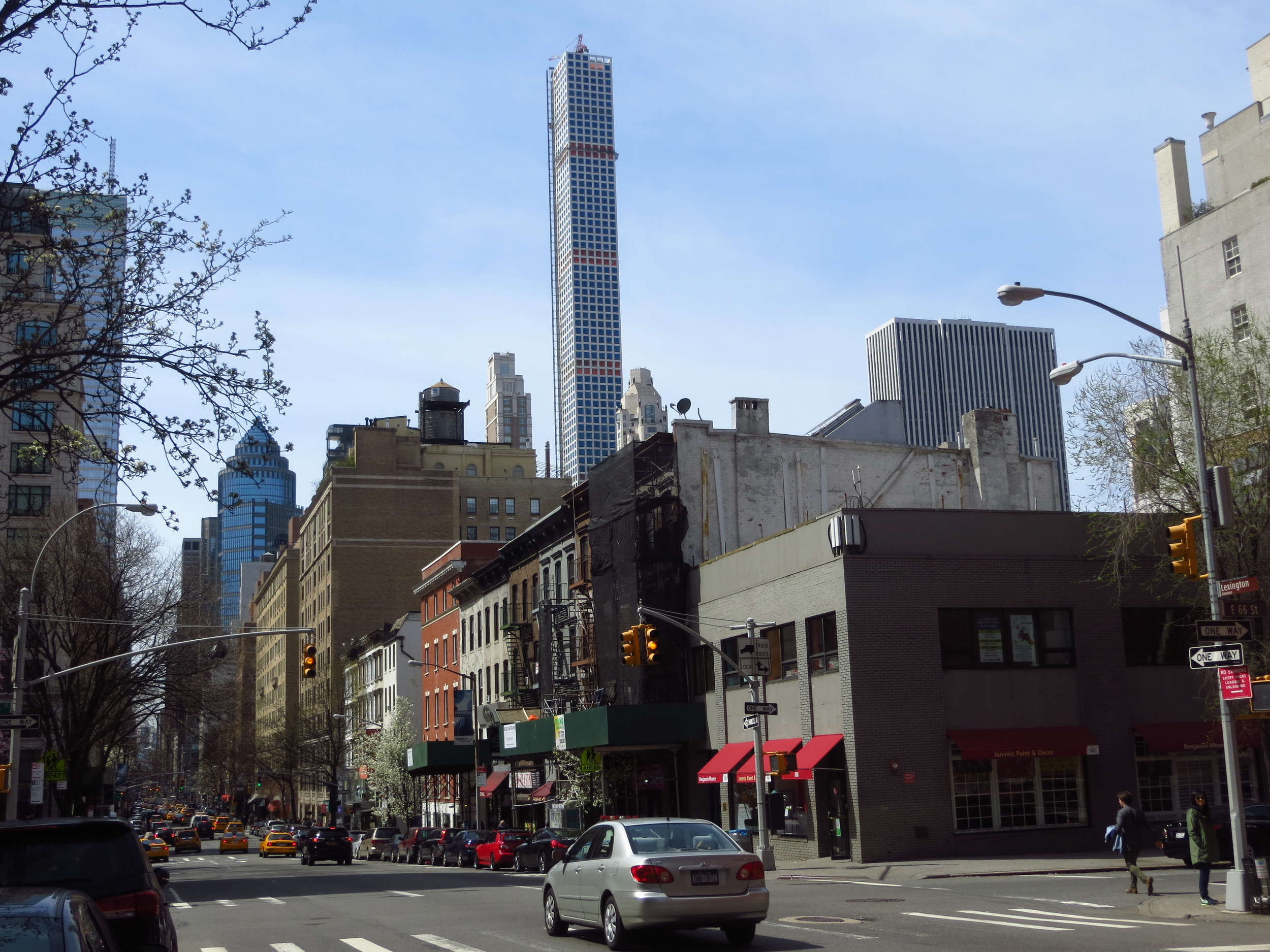
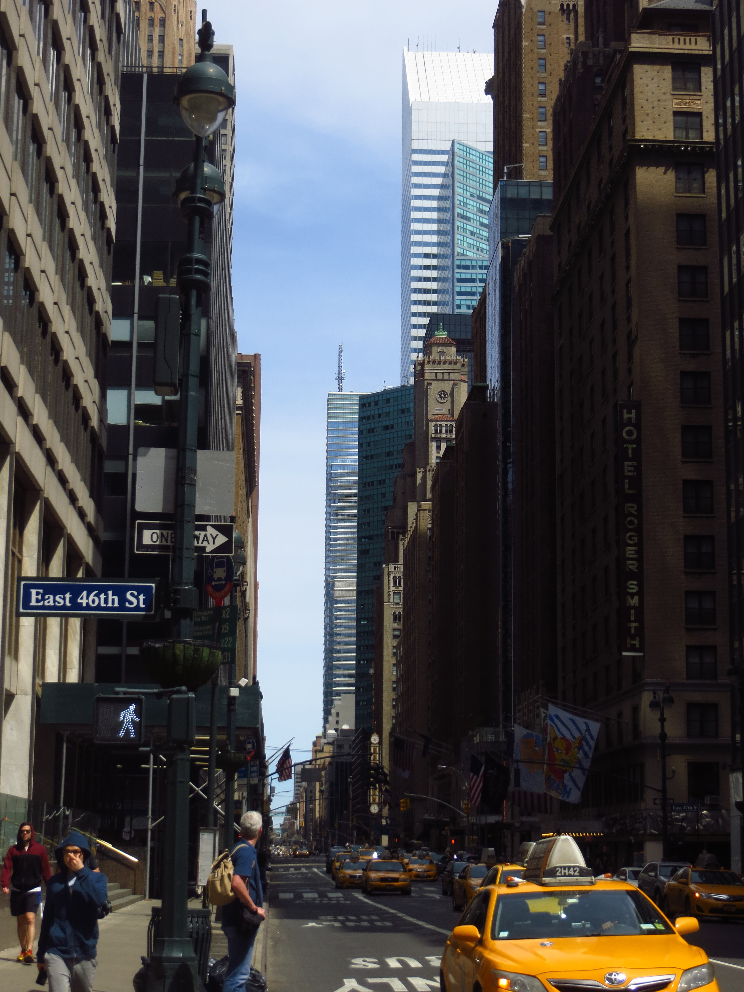
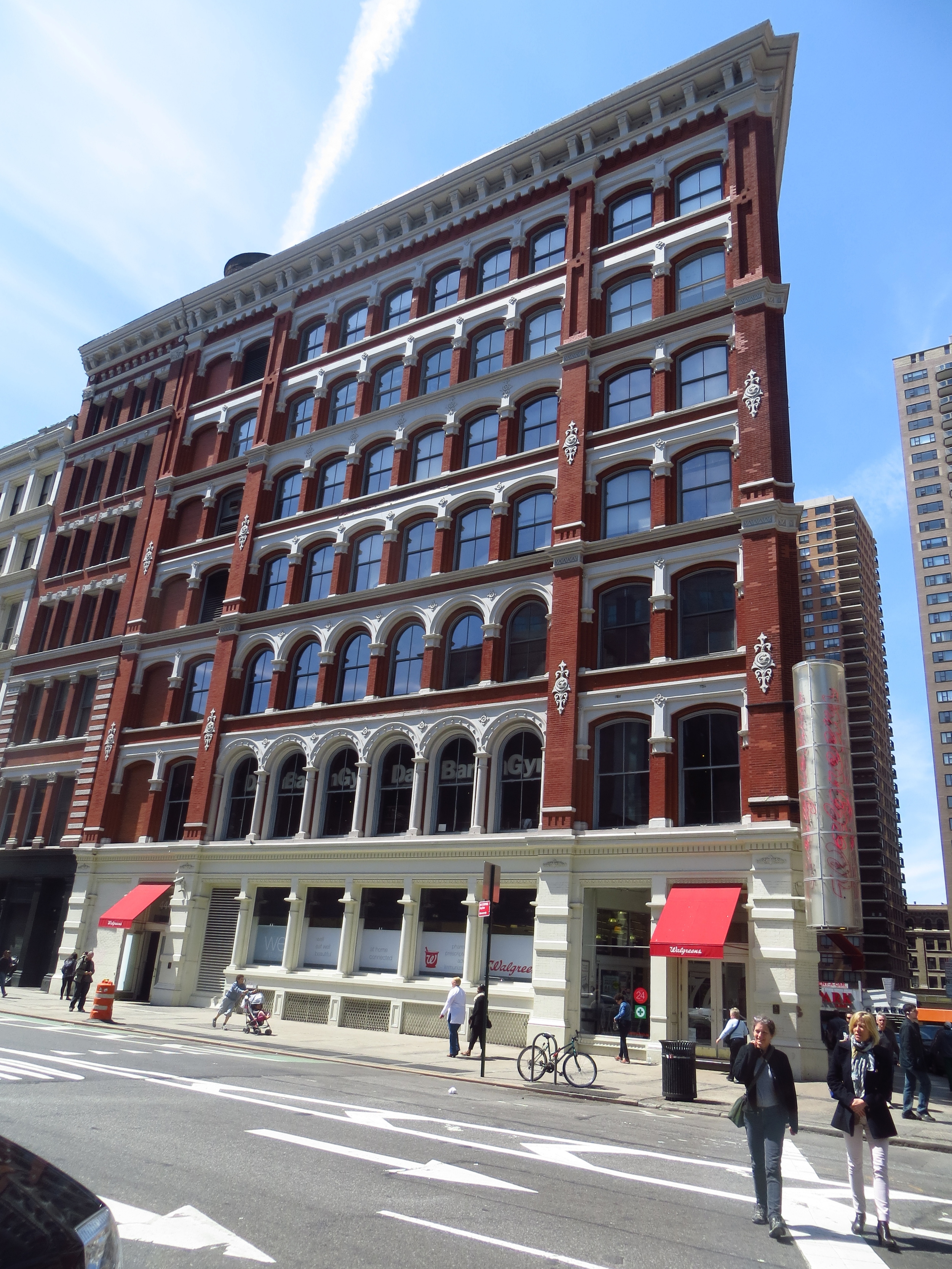
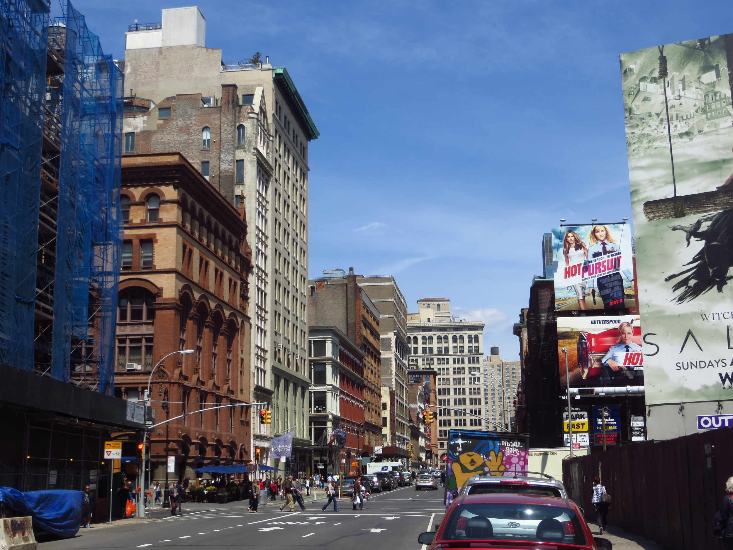
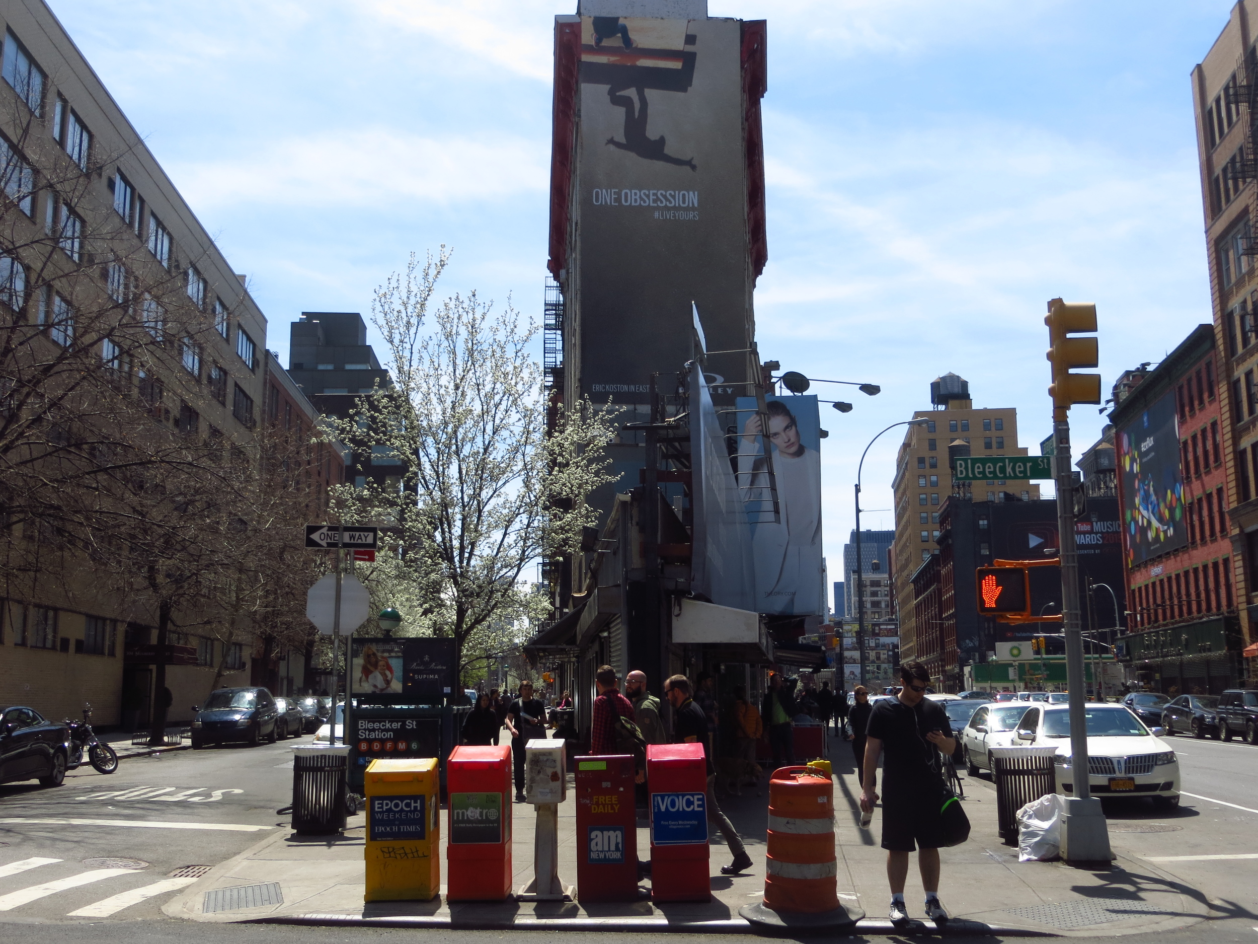
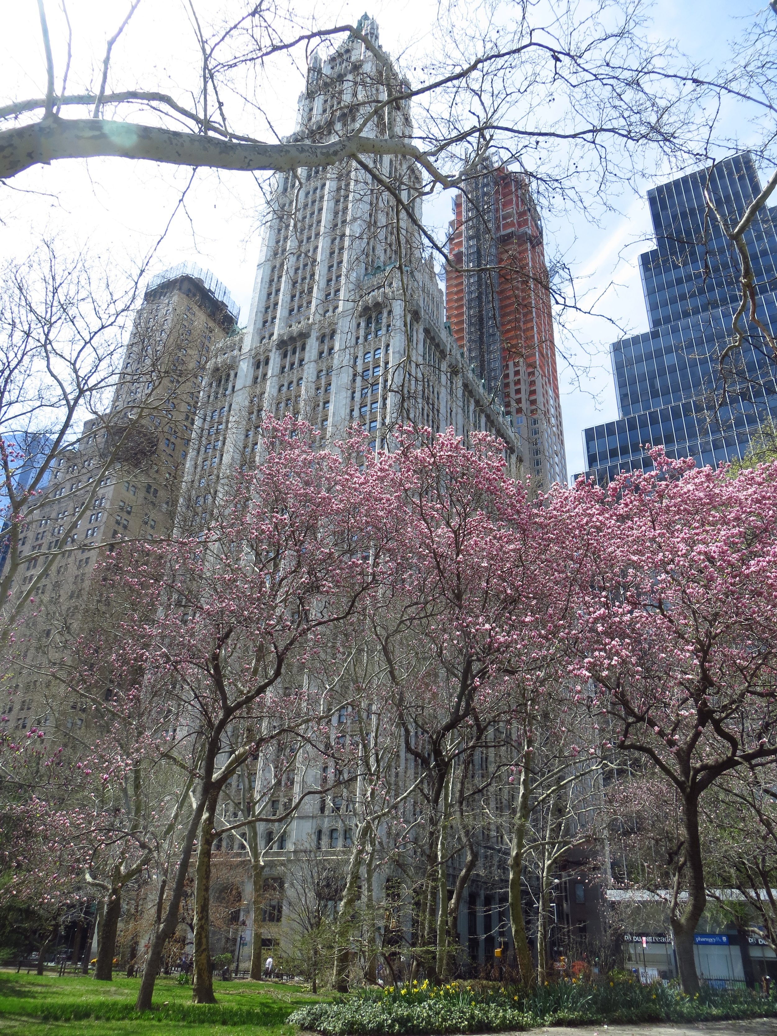
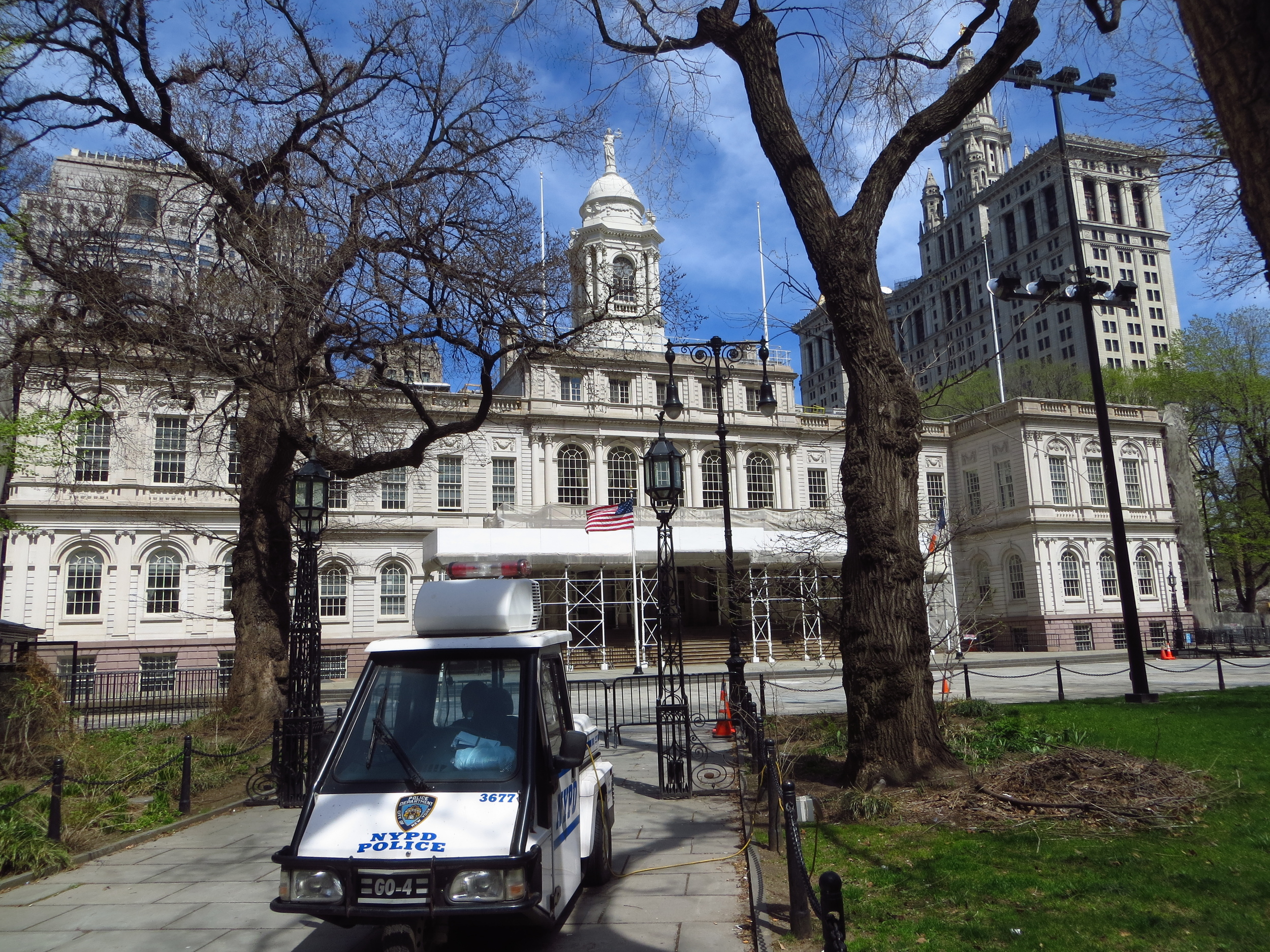
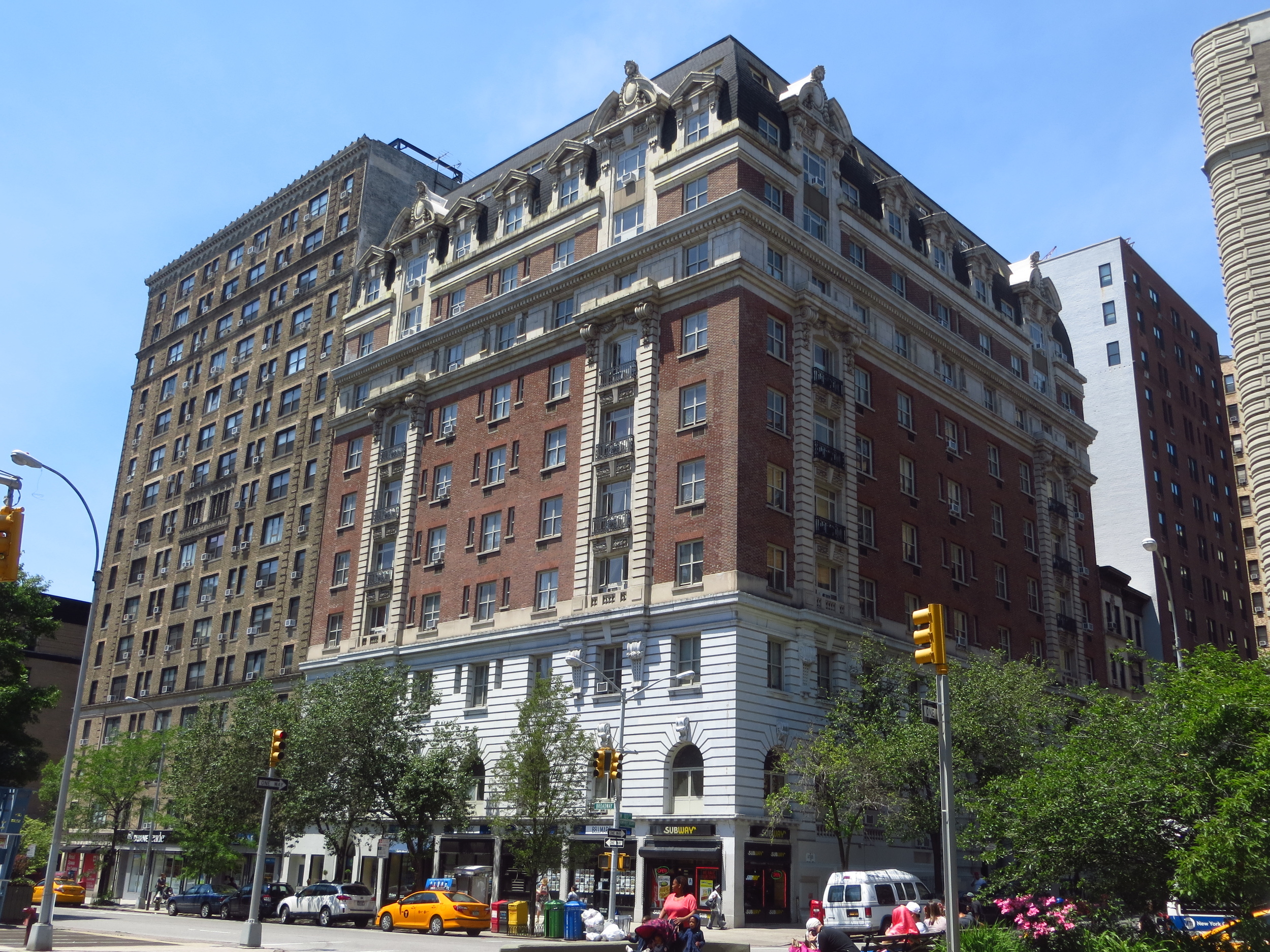
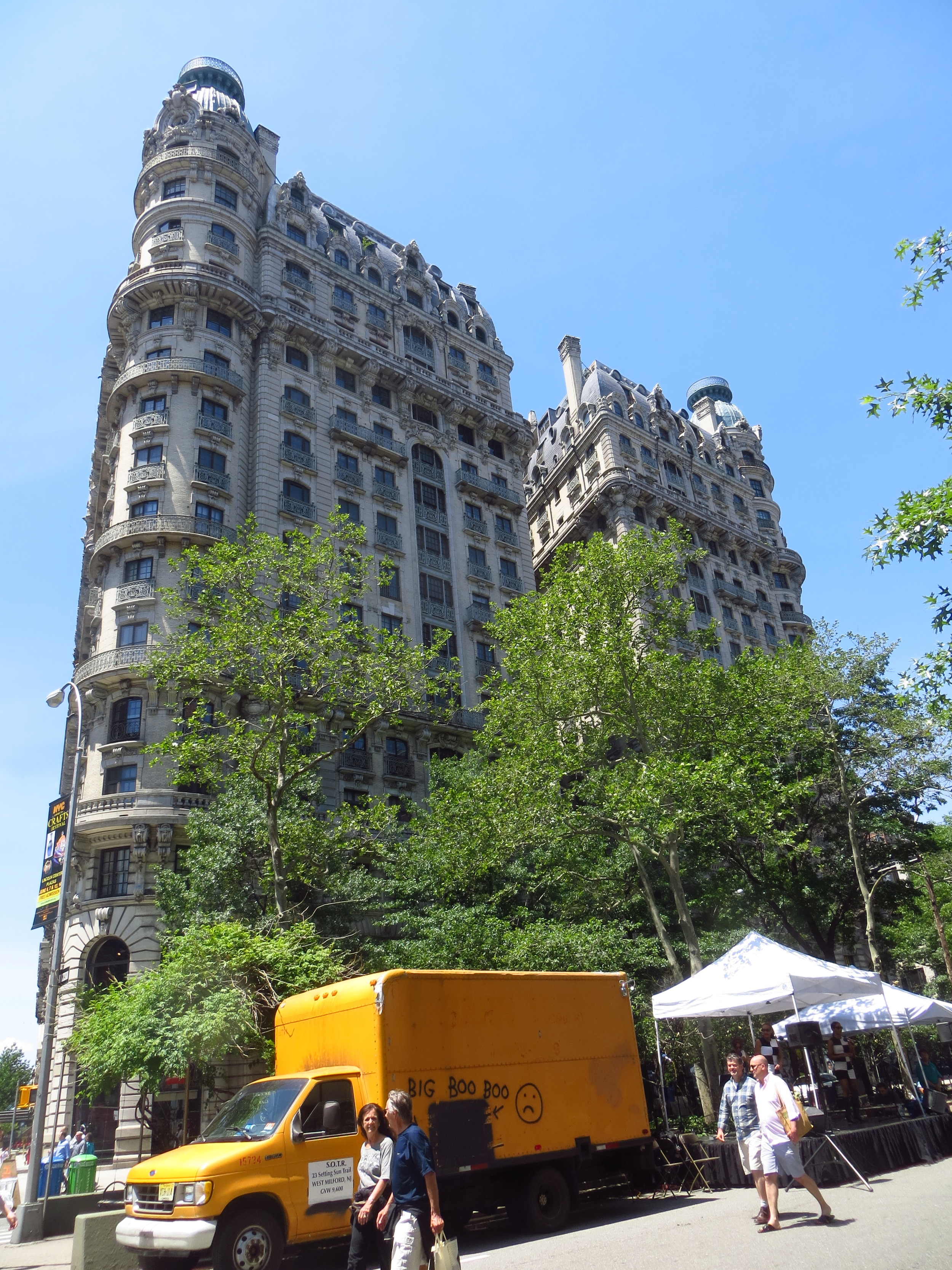
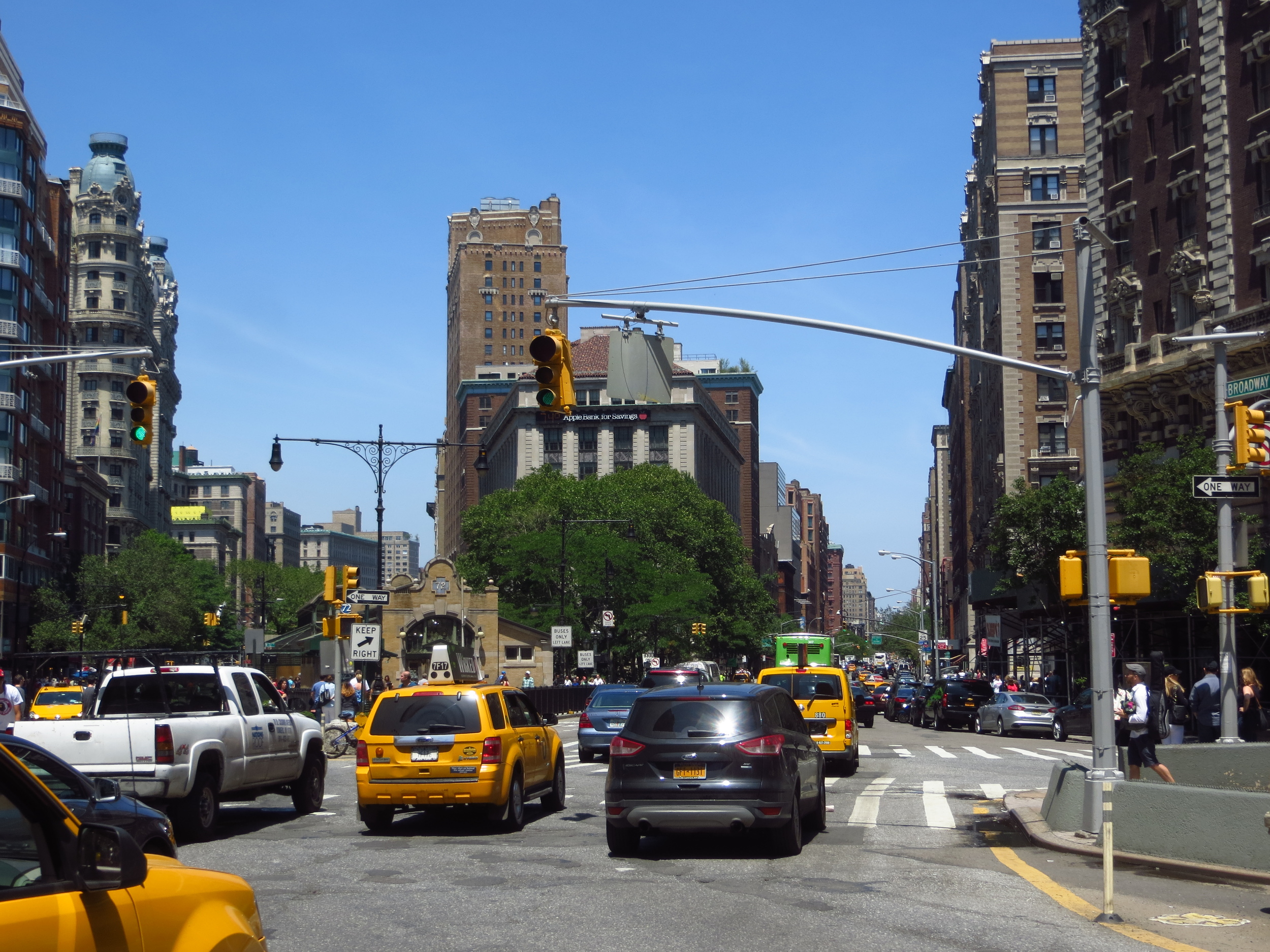
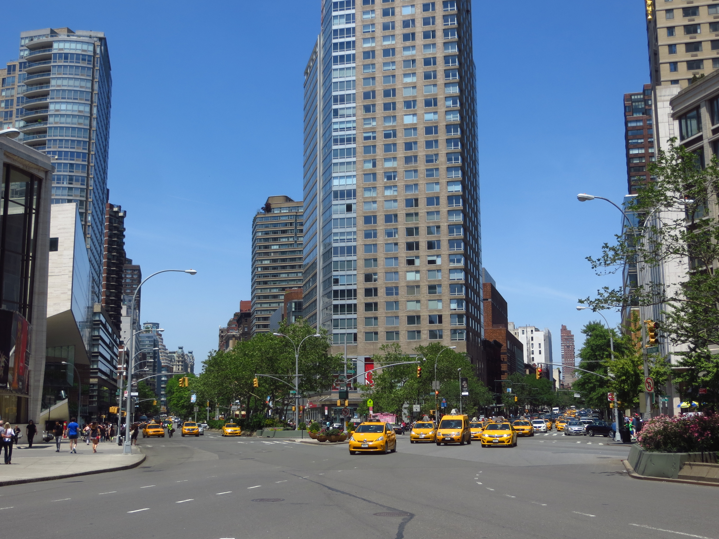
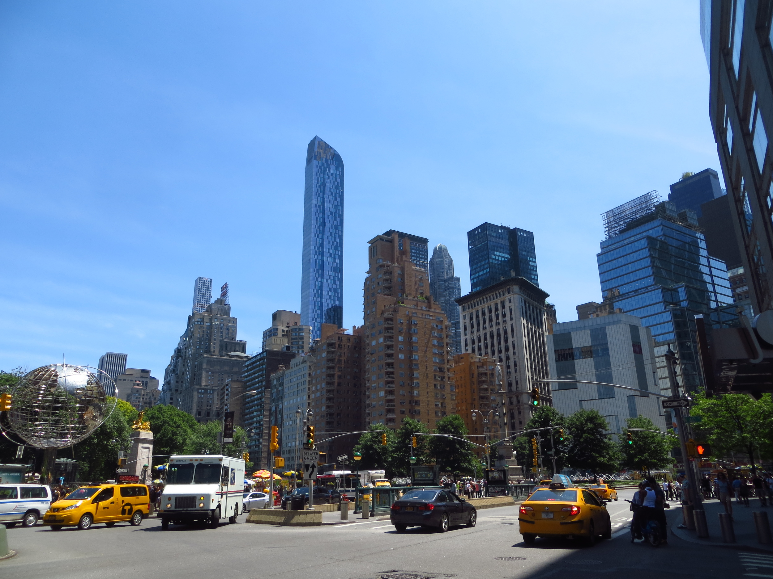
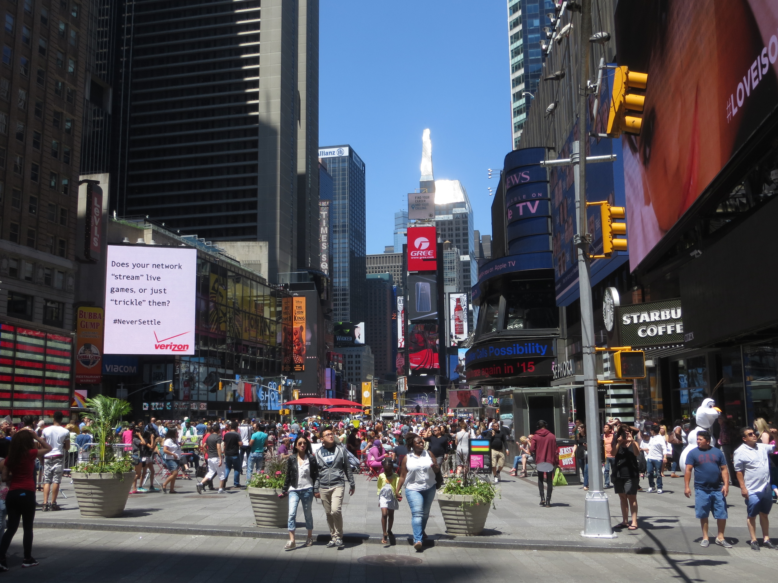
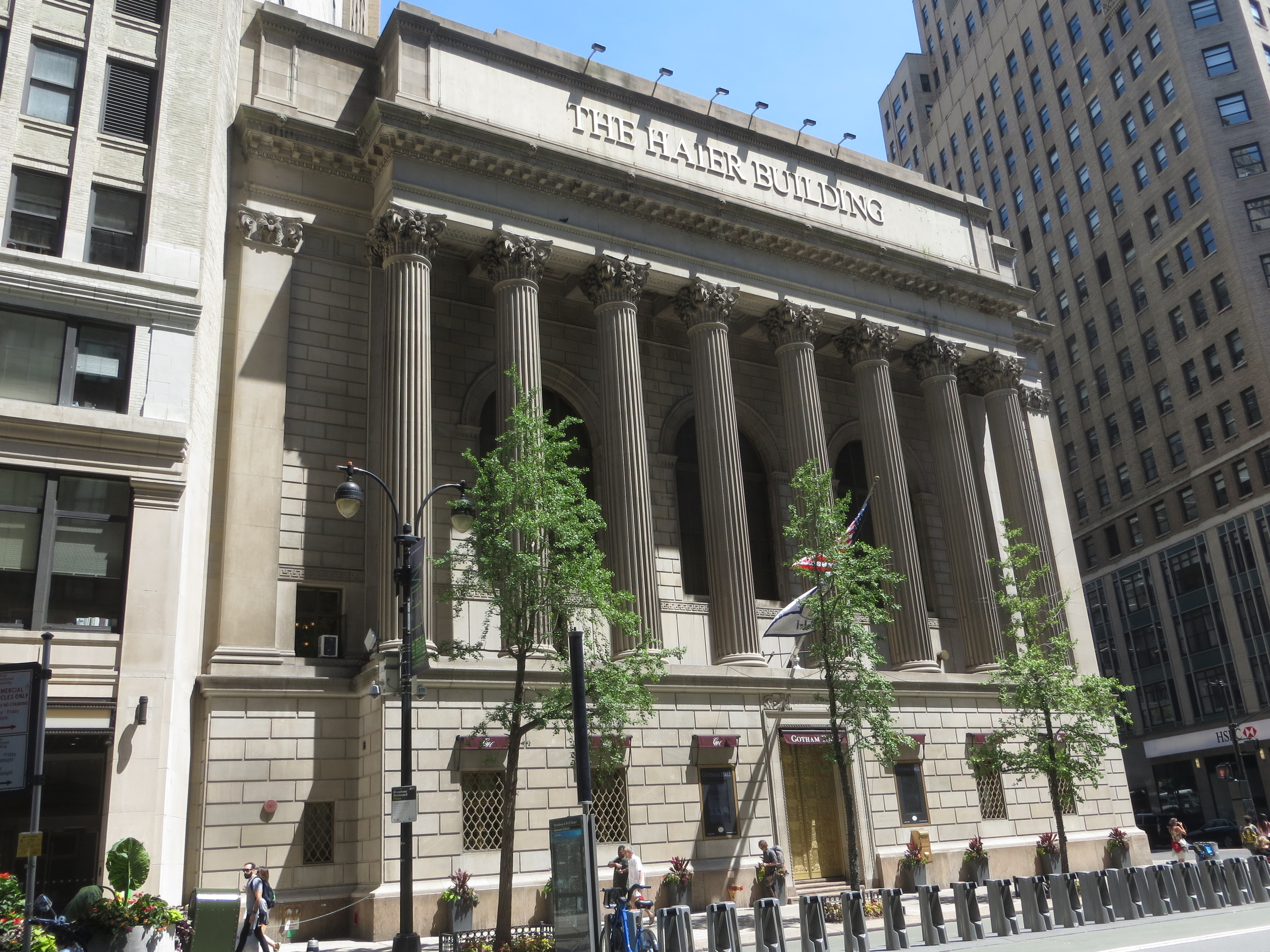
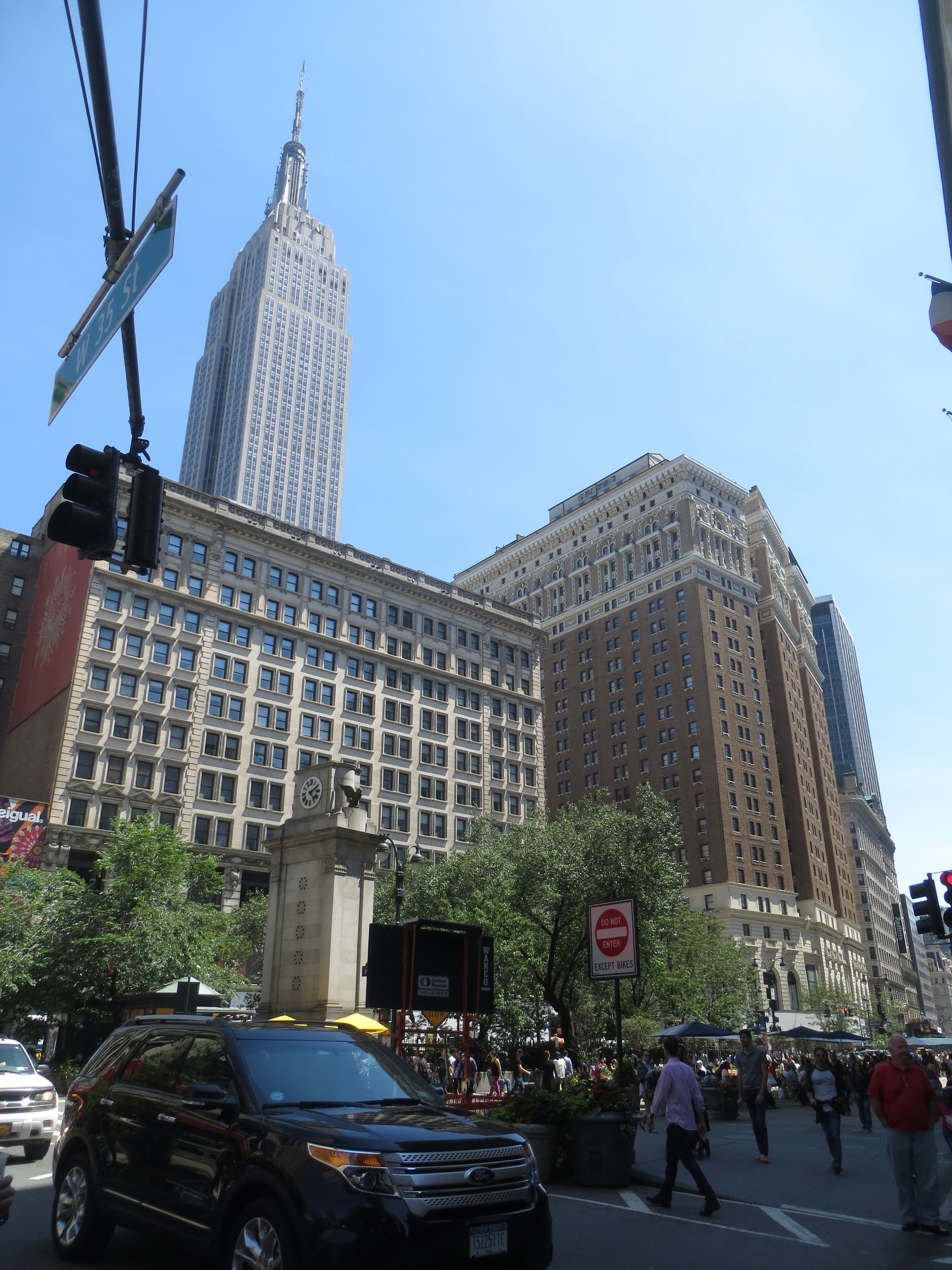
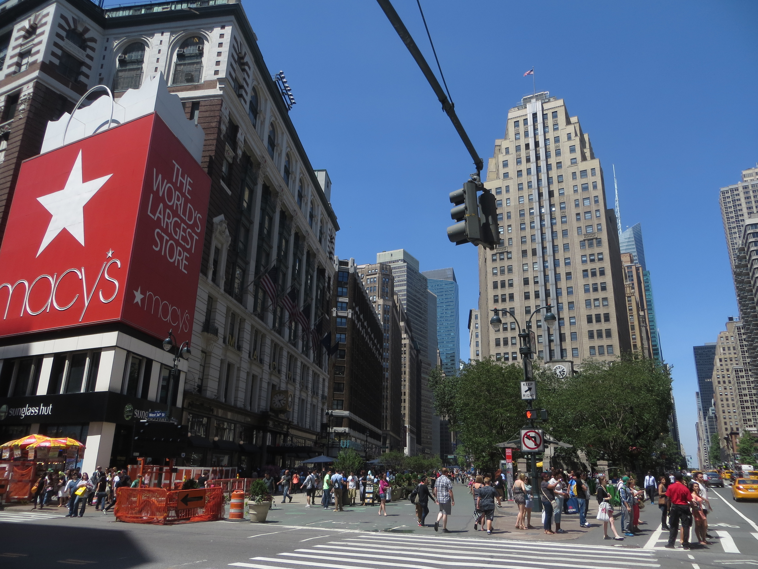
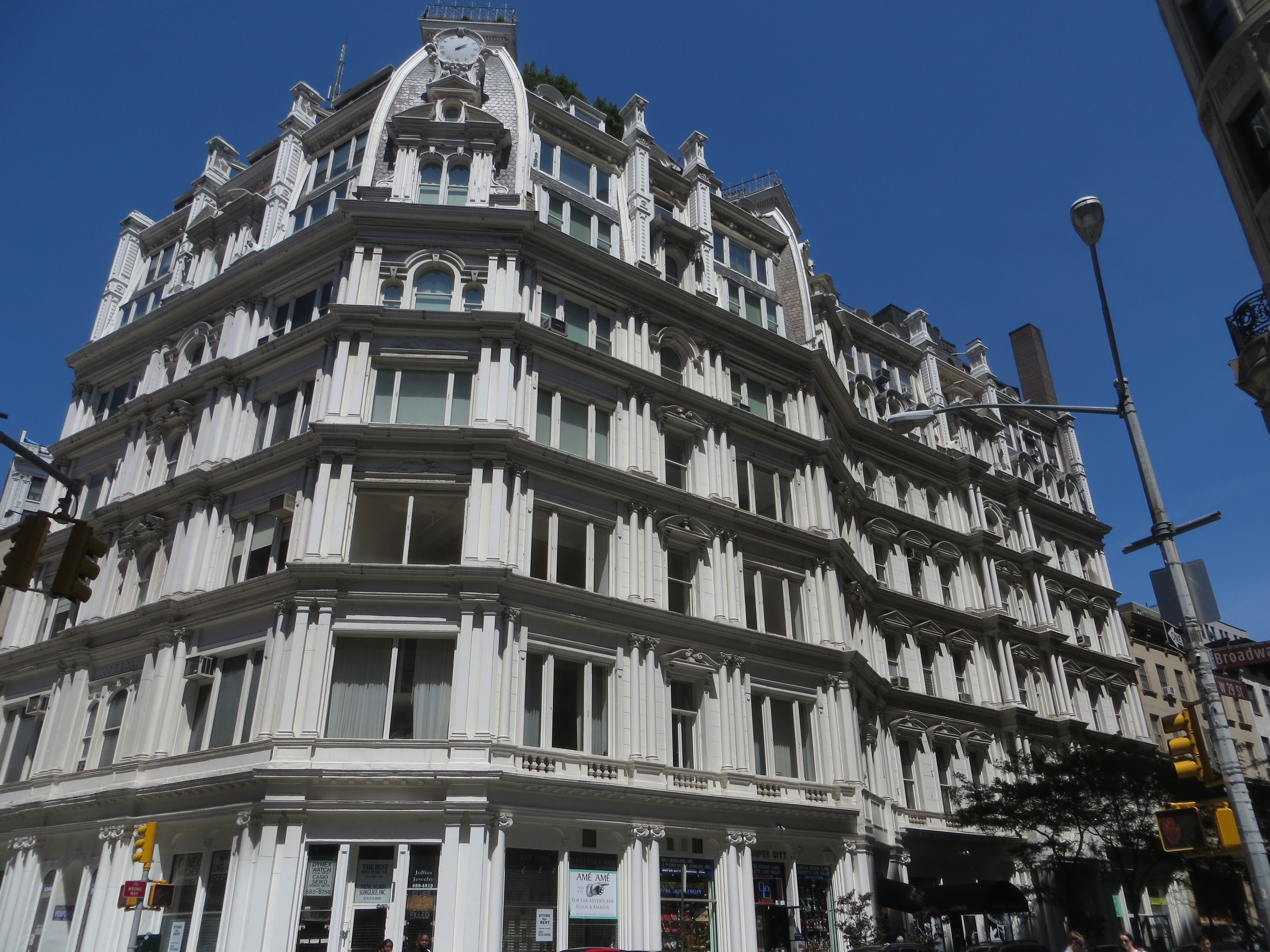
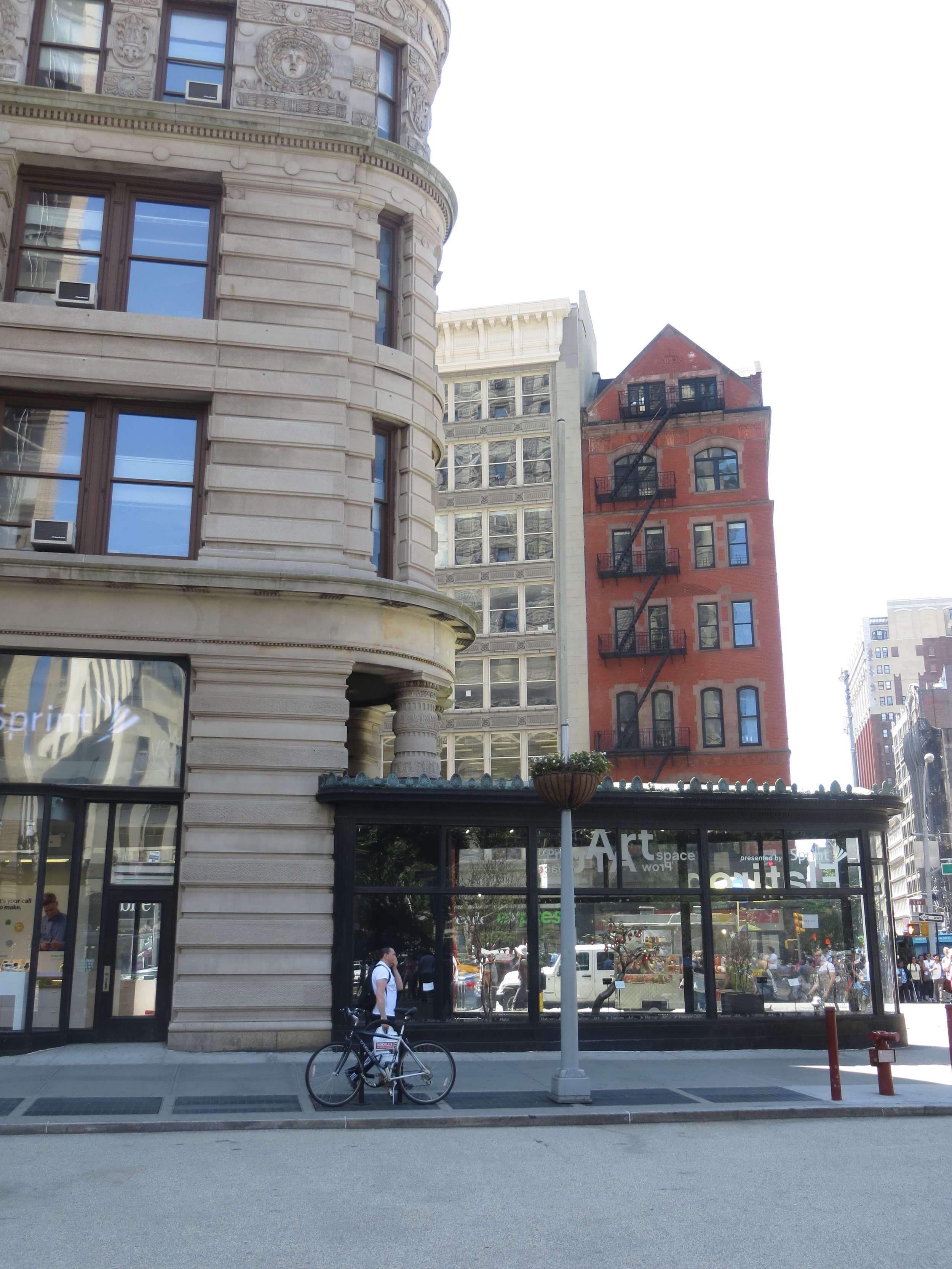
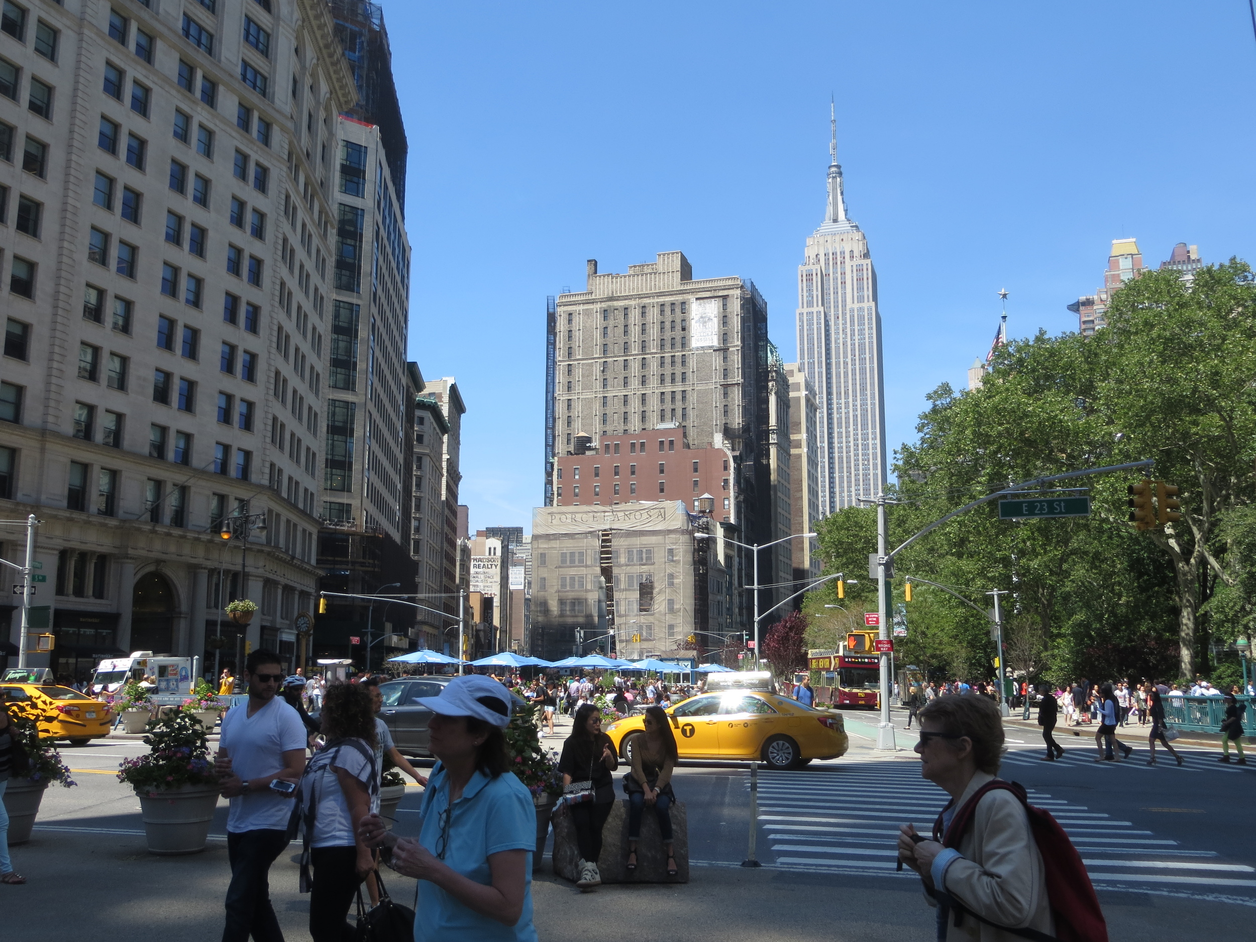
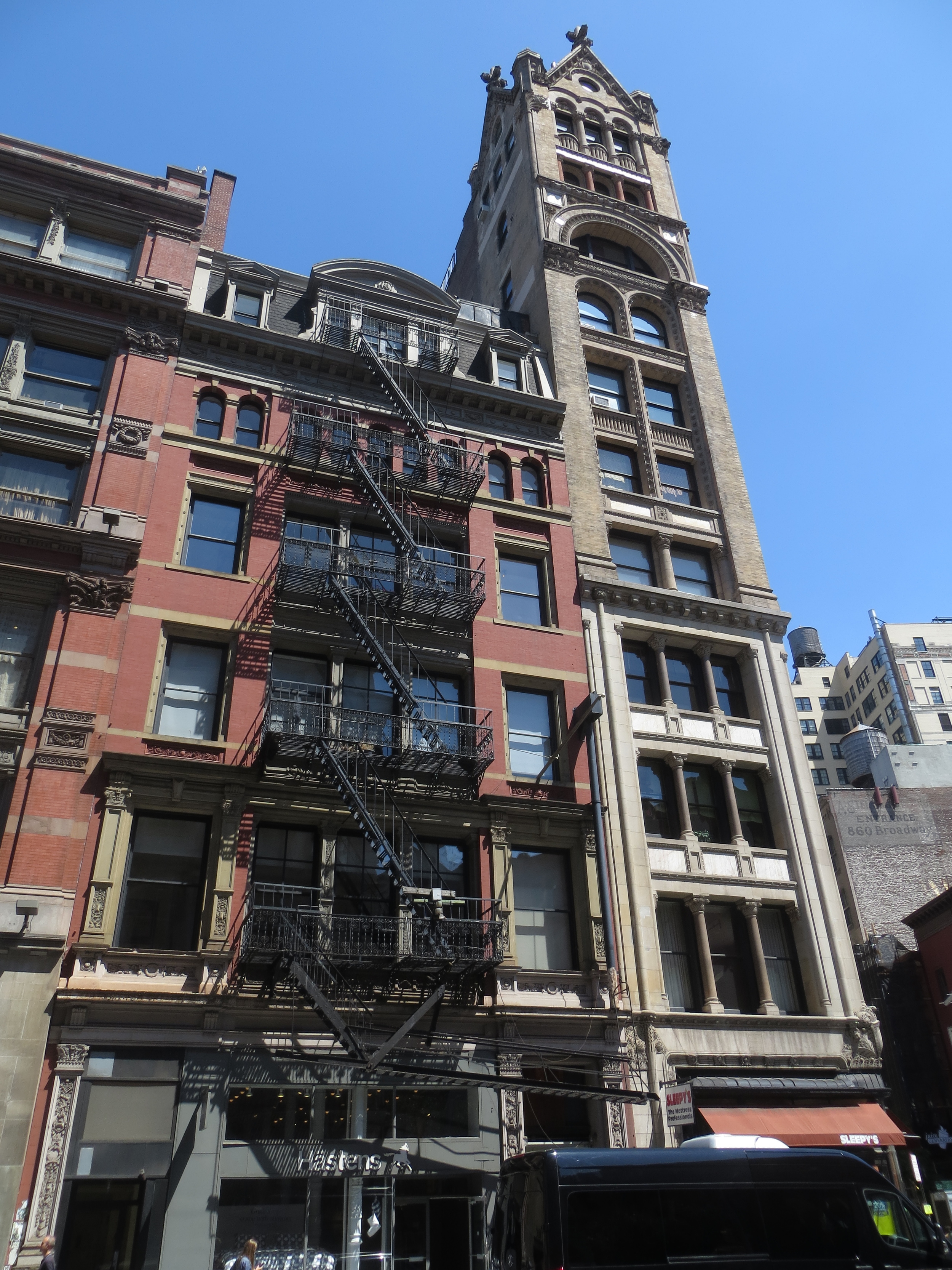
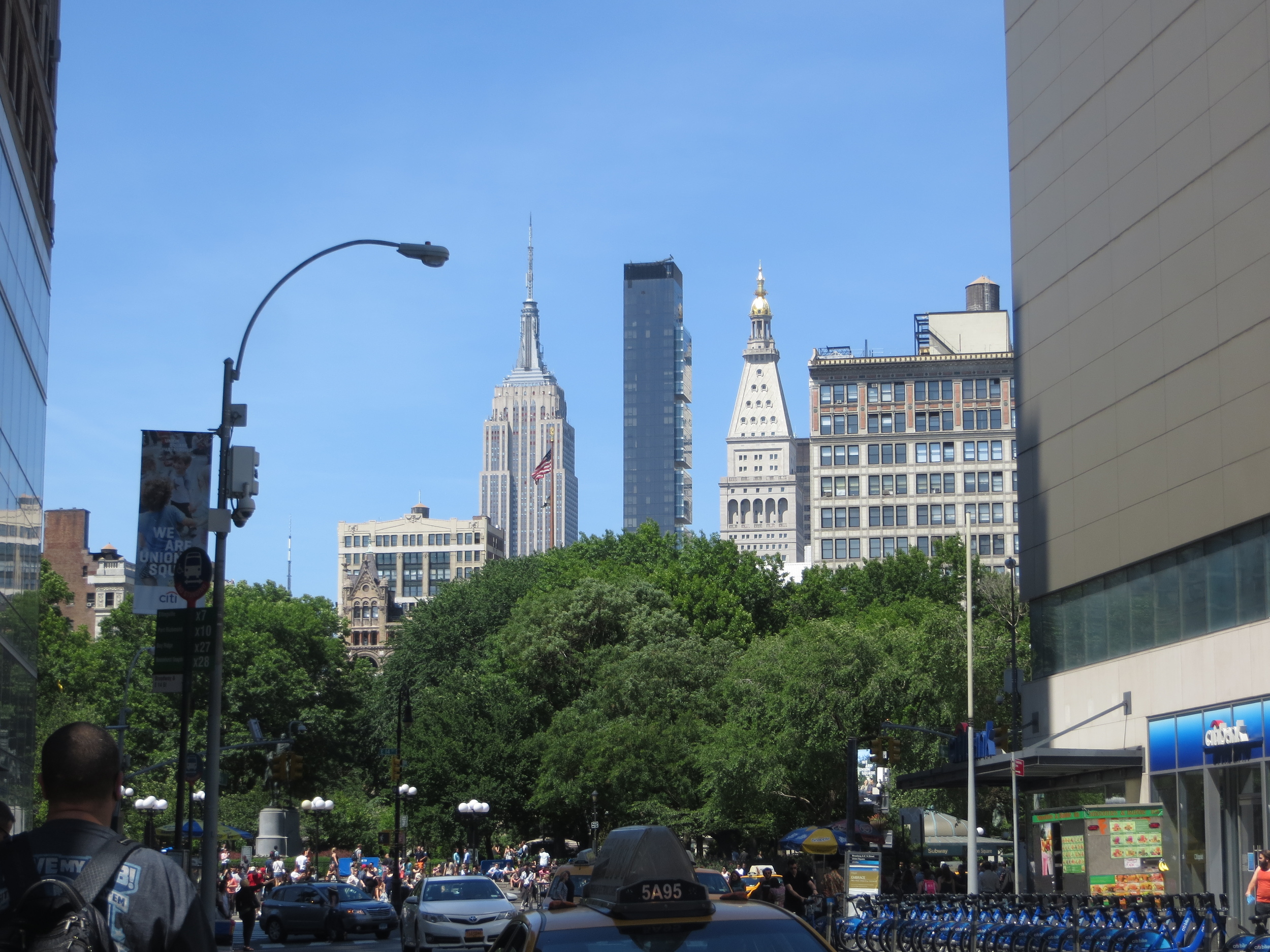
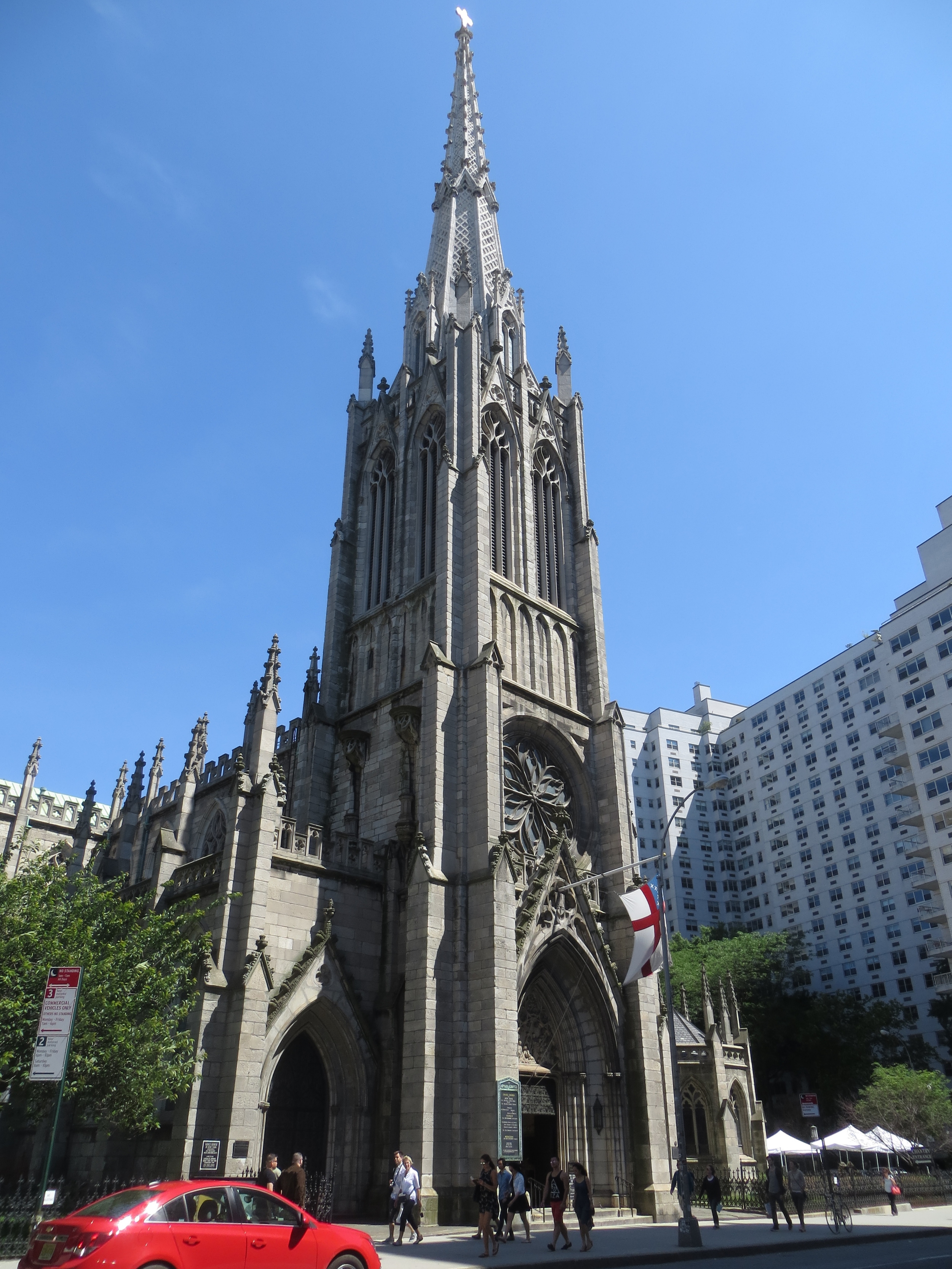
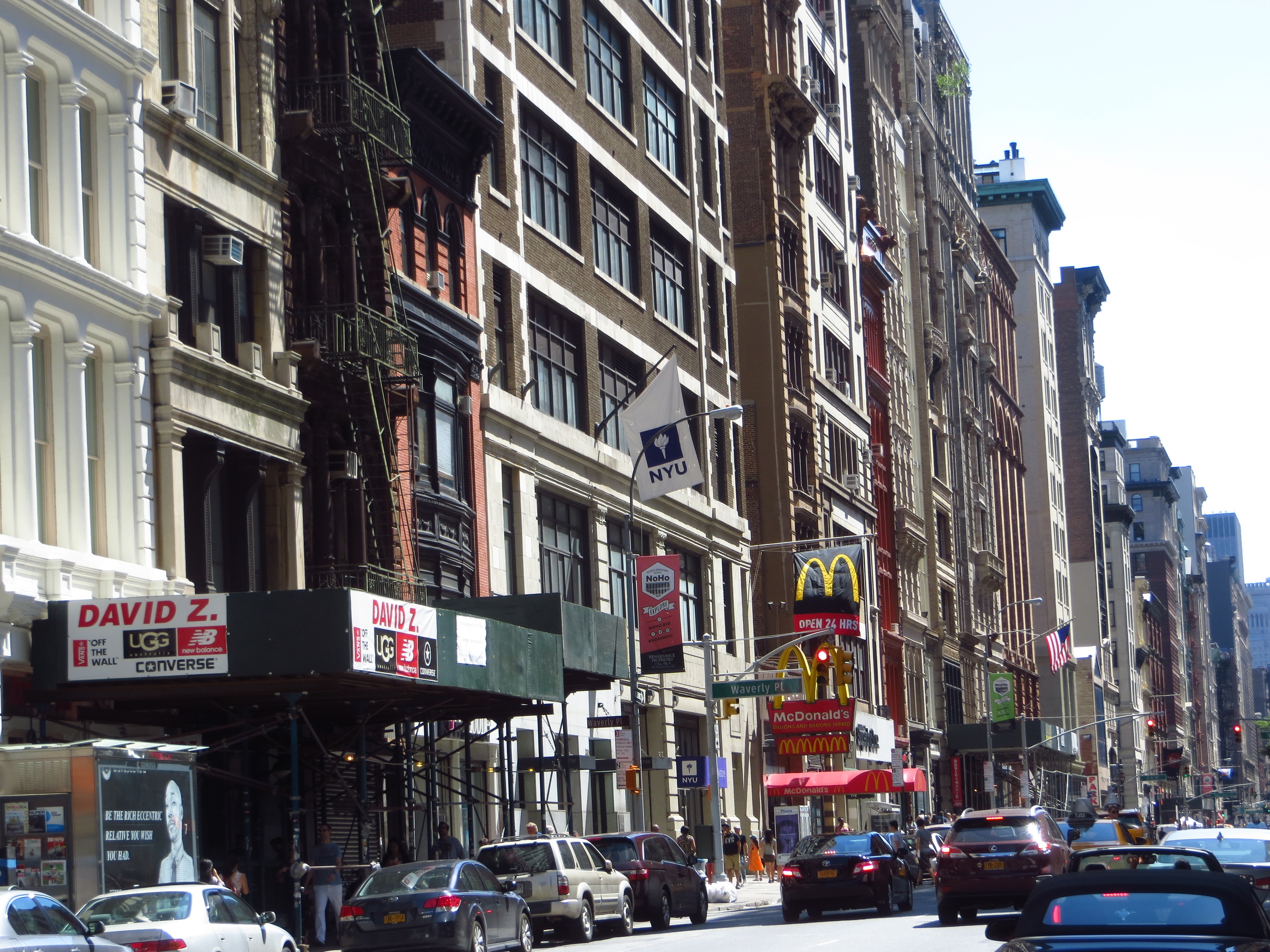
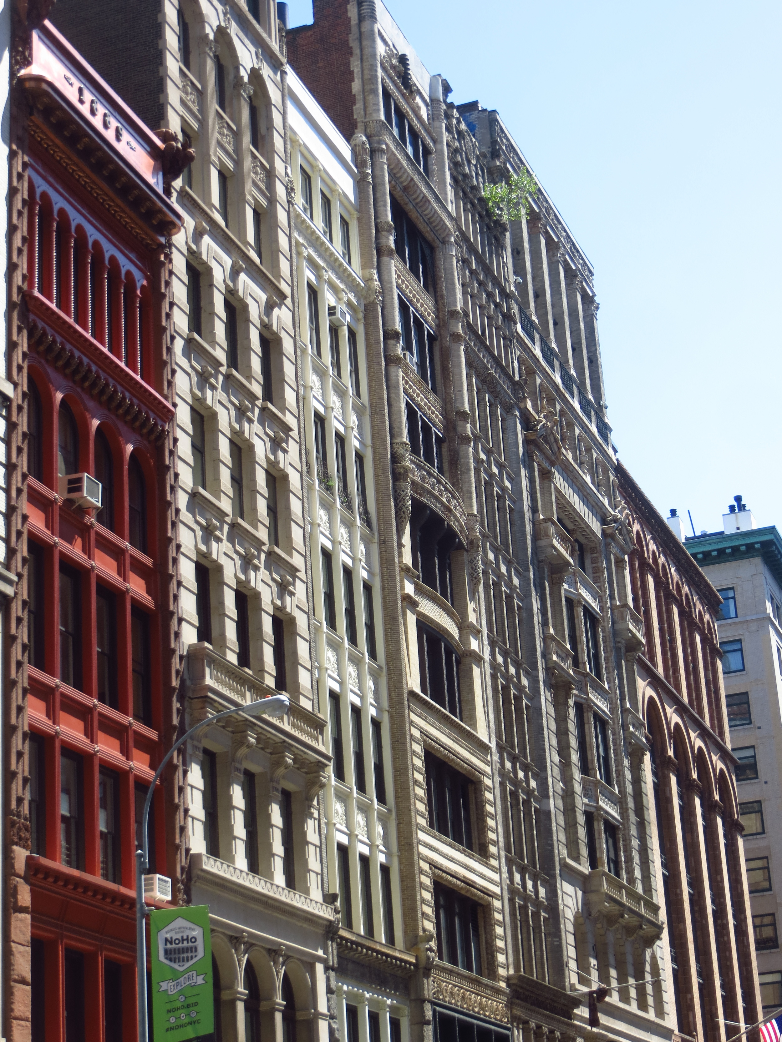
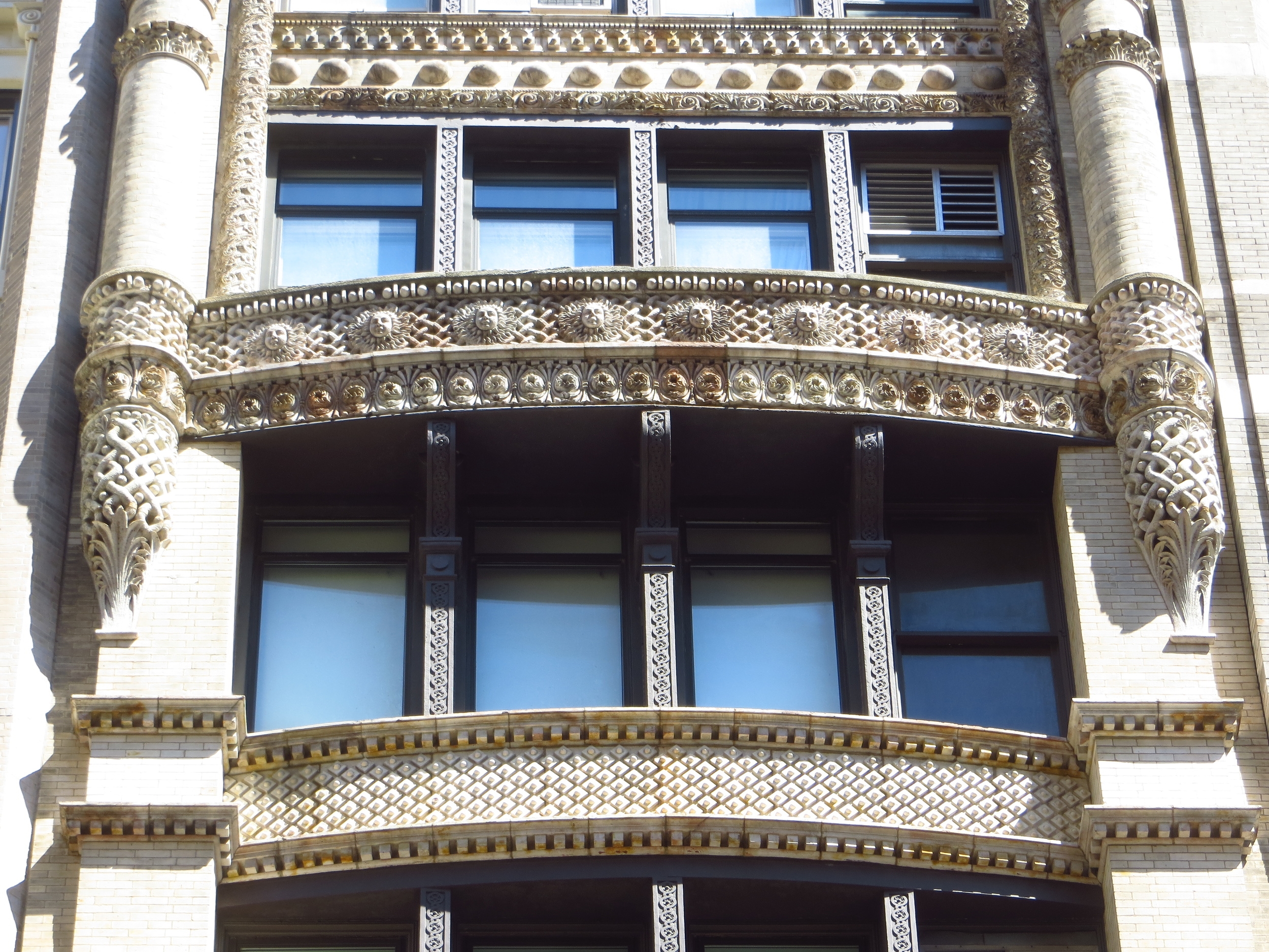
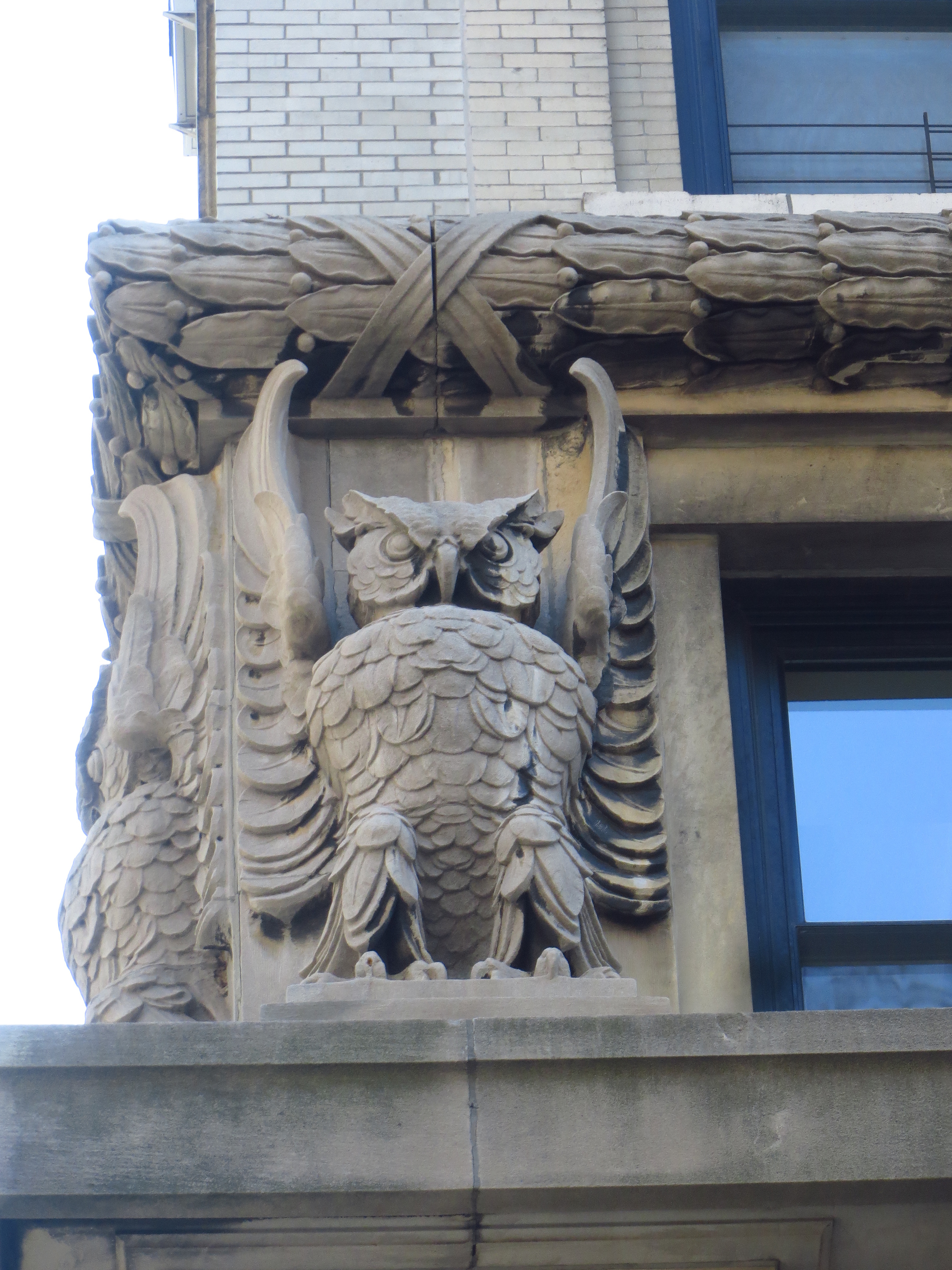
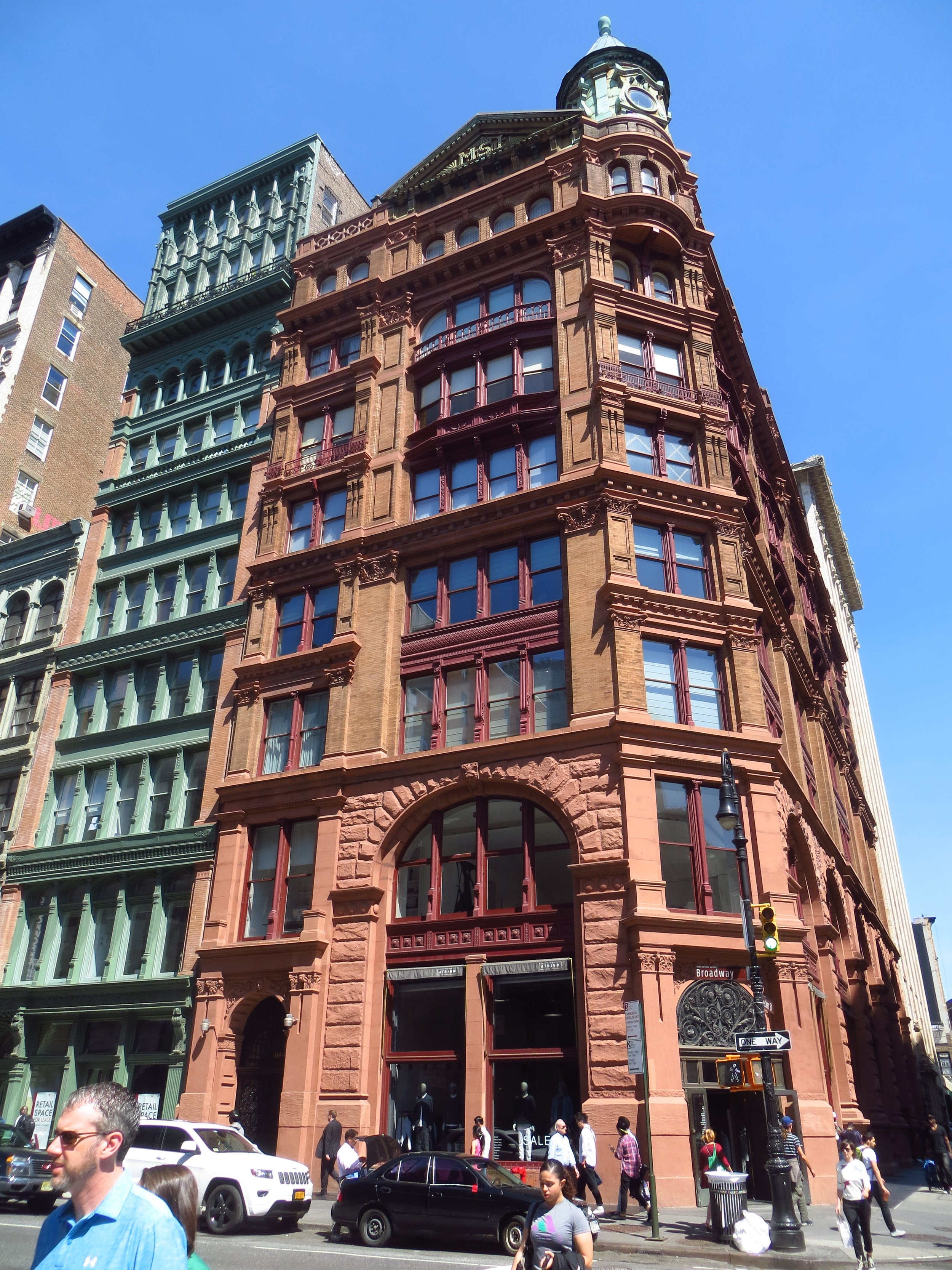
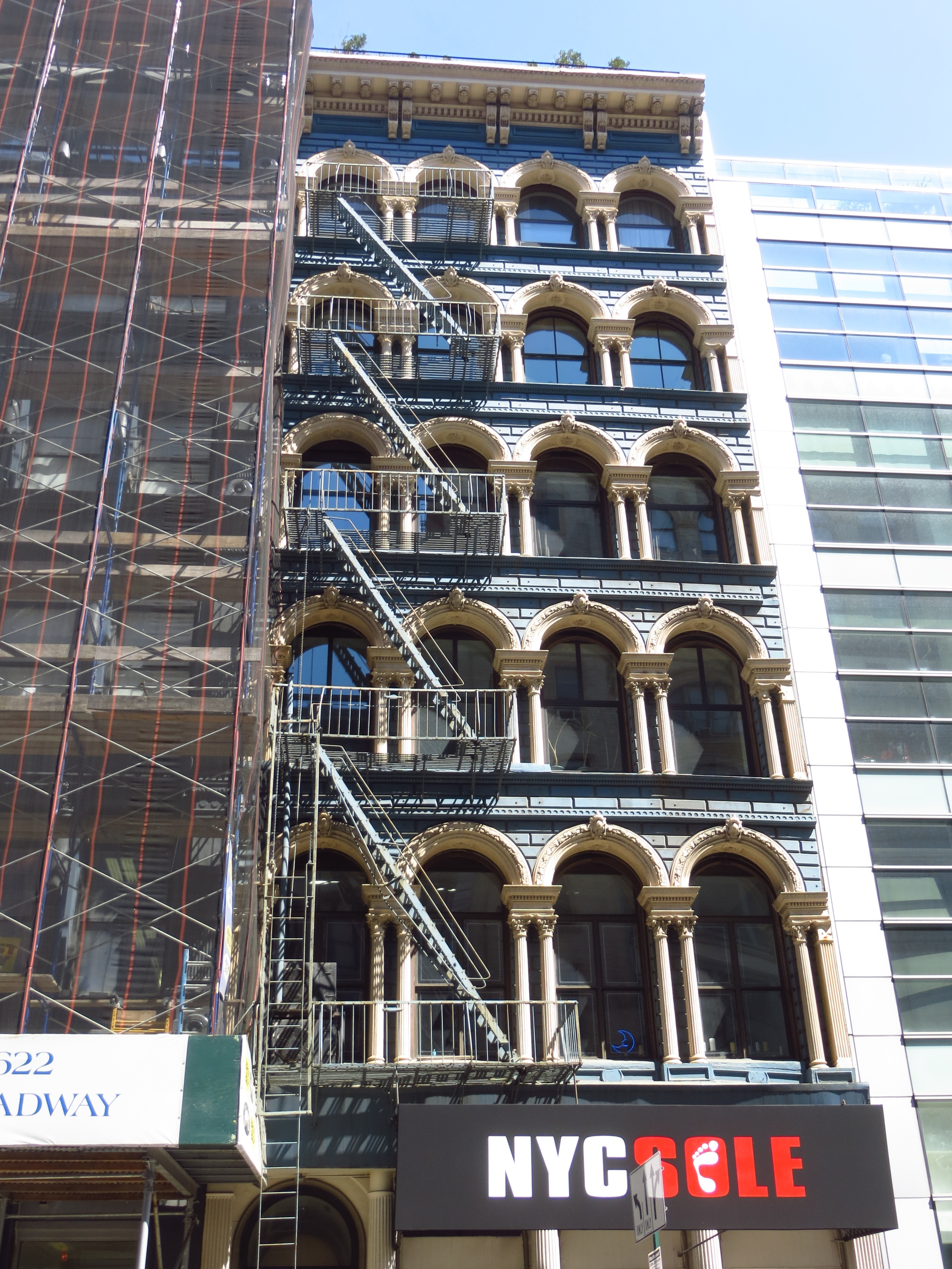
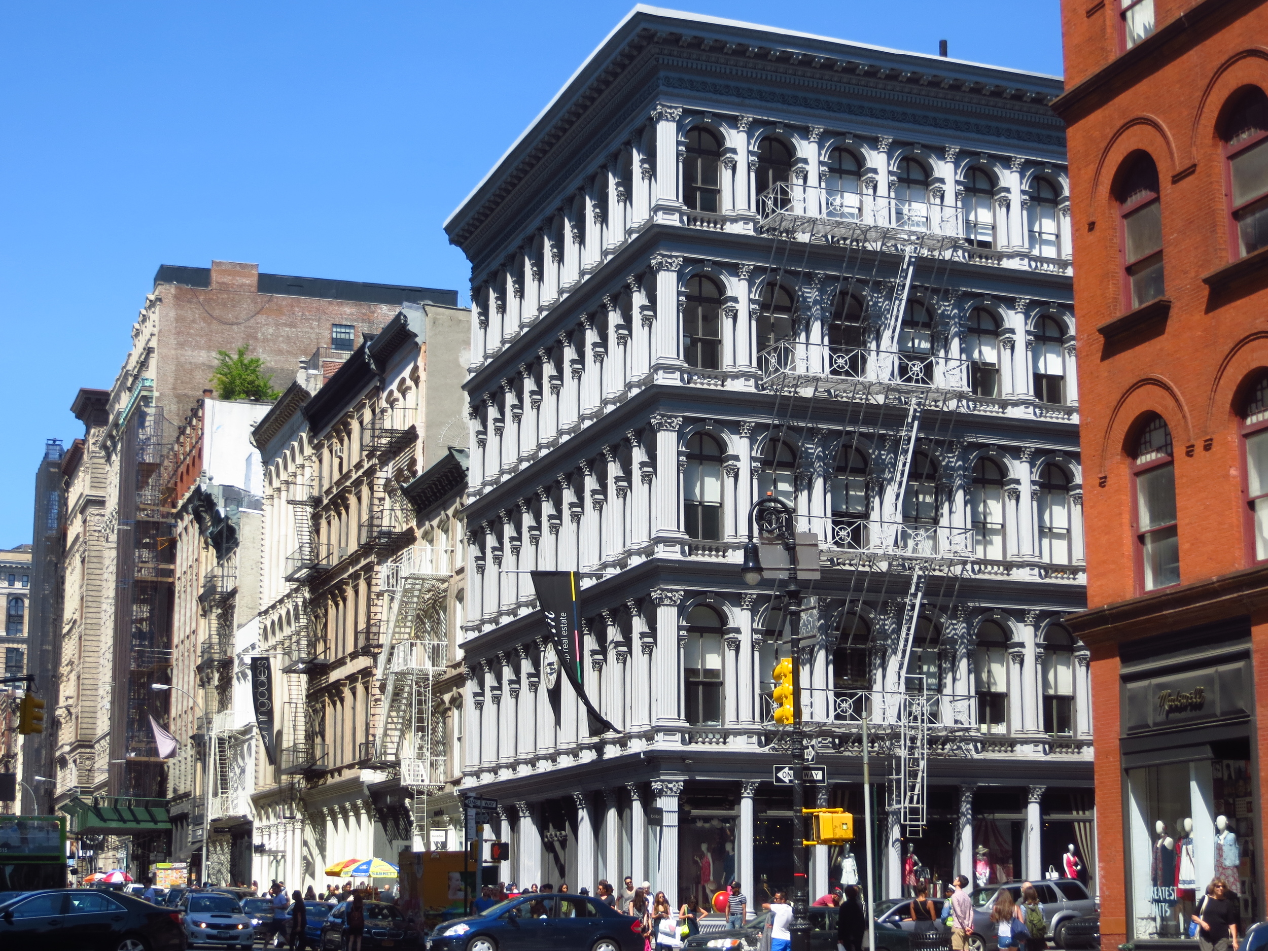
Above the Financial District, Broadway continues north, passing the Woolworth Building, City Hall, and SoHo, before angling west at 14th St.  The street continues on a northwest path from 14th St. through 72nd St. on the Upper West Side, crossing through Midtown at an angle.  The irregular intersections formed by Broadway intersecting the north-south avenues created many of New York's well-known squares, beginning with Union Square at Park Ave. and 14th St., followed by Madison Square at 5th Ave. and 23rd St. (where it forms the distinctive outline of the Flatiron Building), Herald Square at 6th Ave. and 33rd St., Times Square at 7th Ave. and 45th St. (around which lies the City's famed theater district), and finally Columbus Circle (okay, not really a square) at 8th Ave. and 59th St.

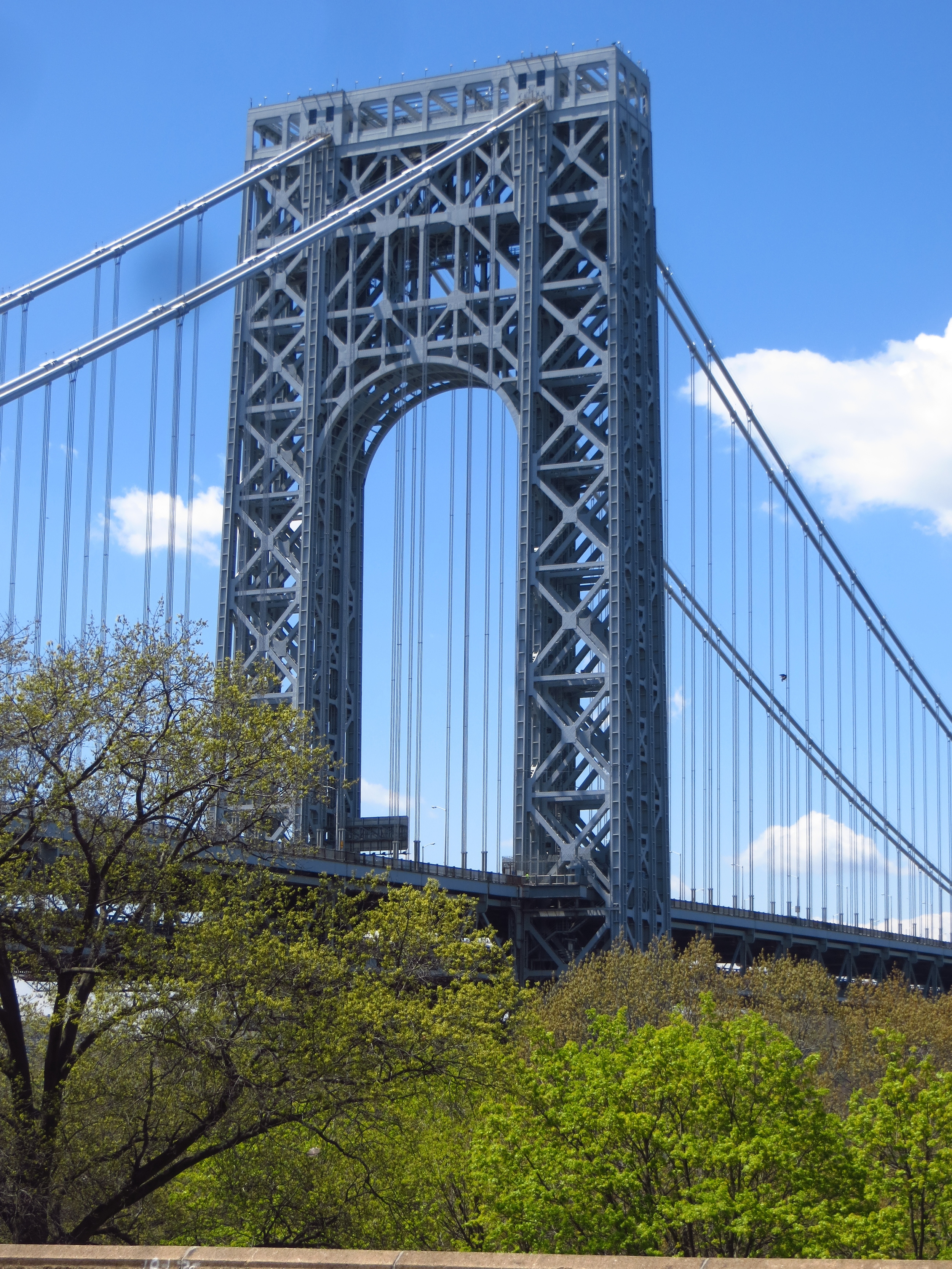
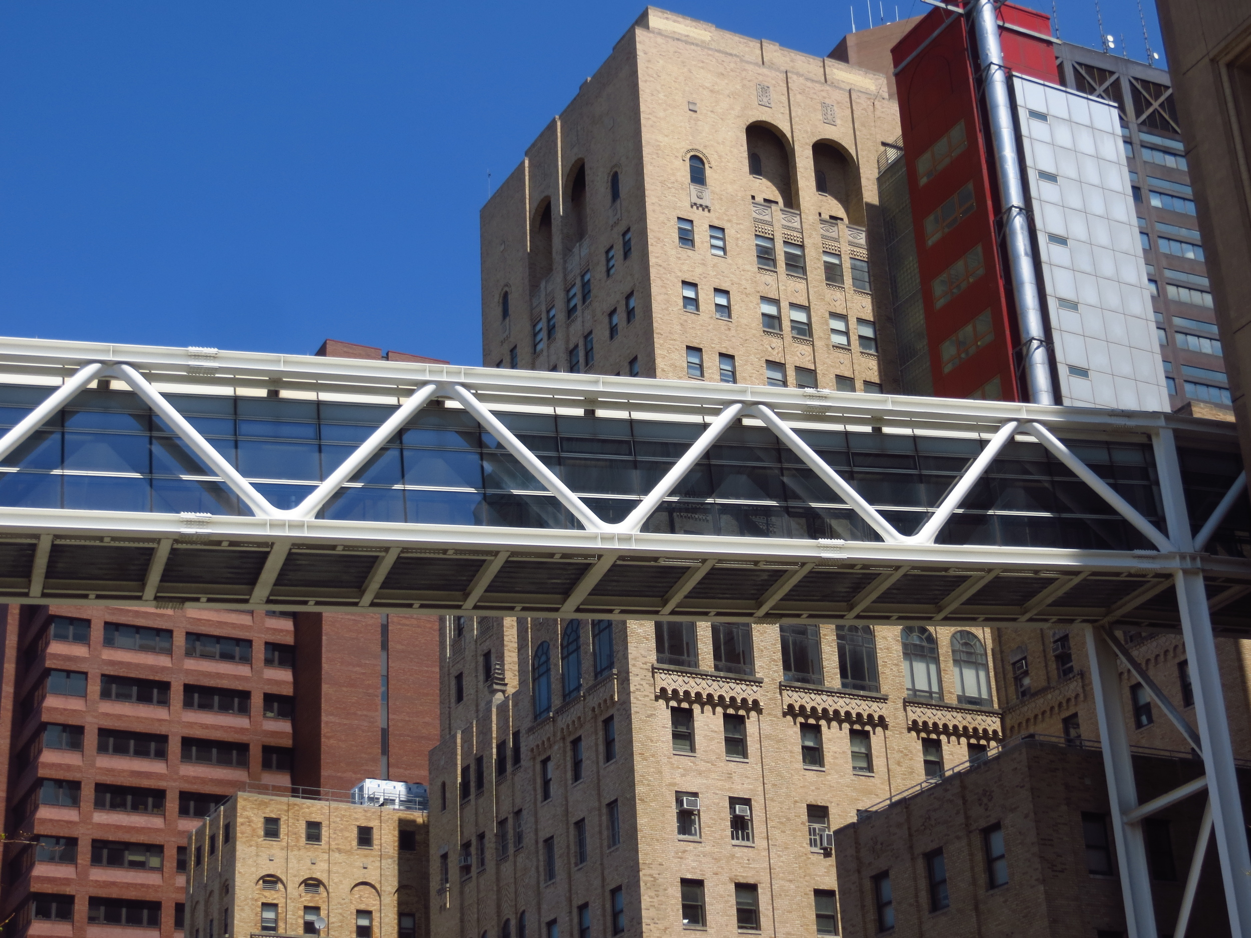
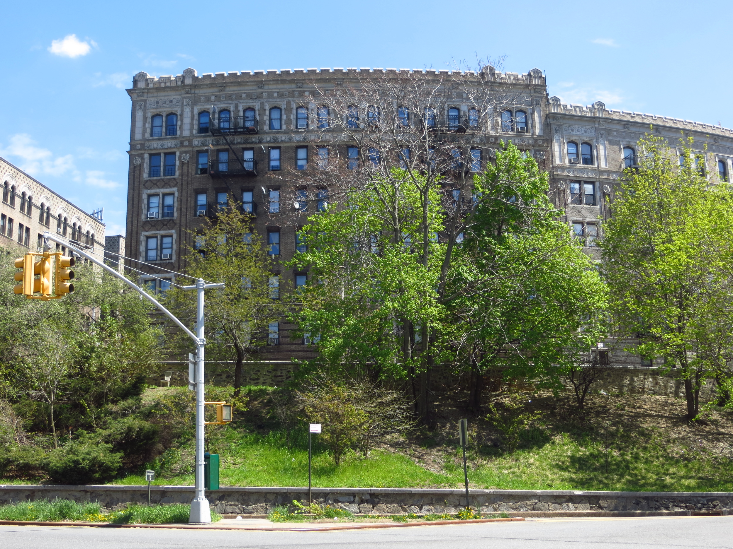
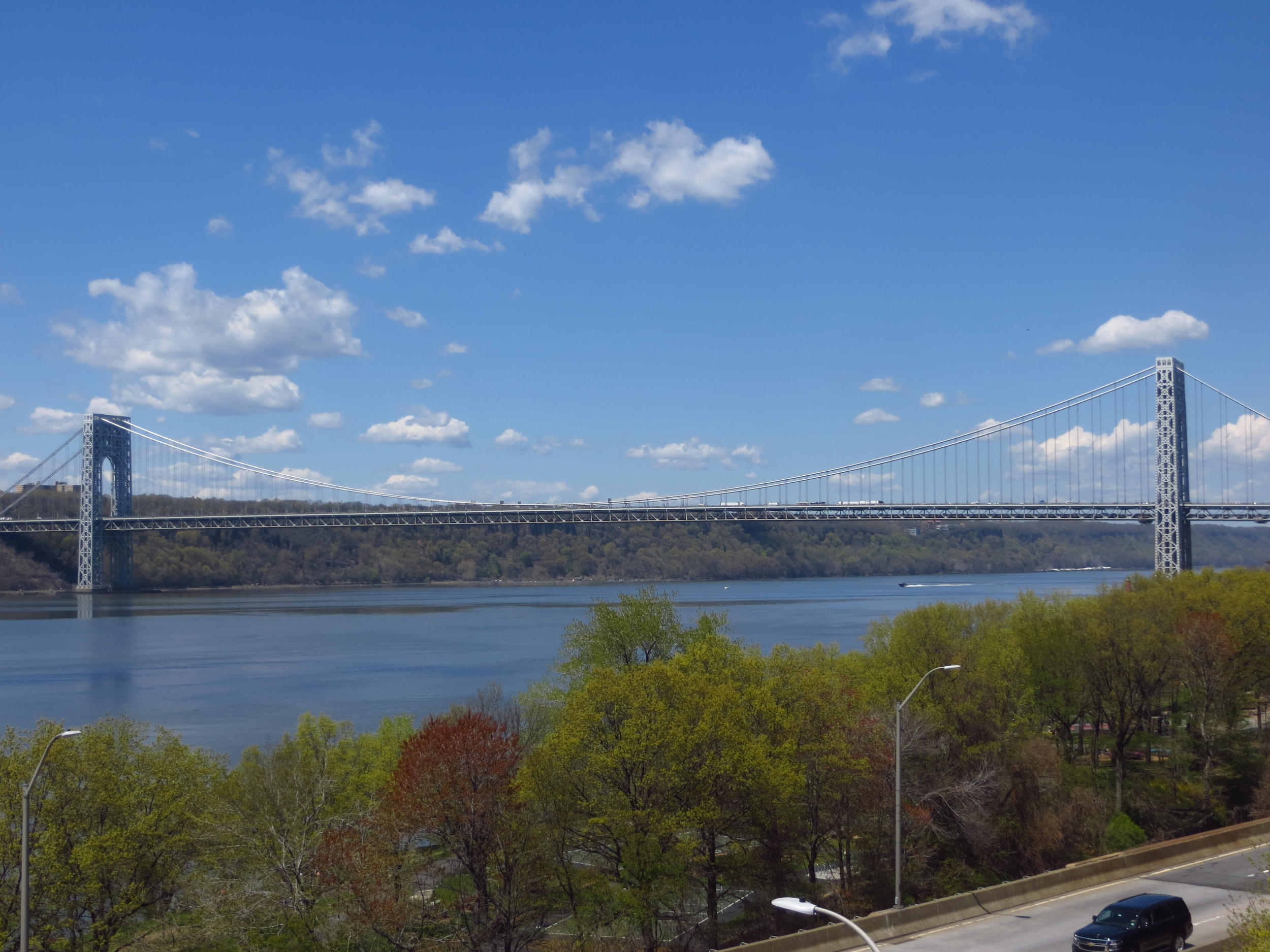
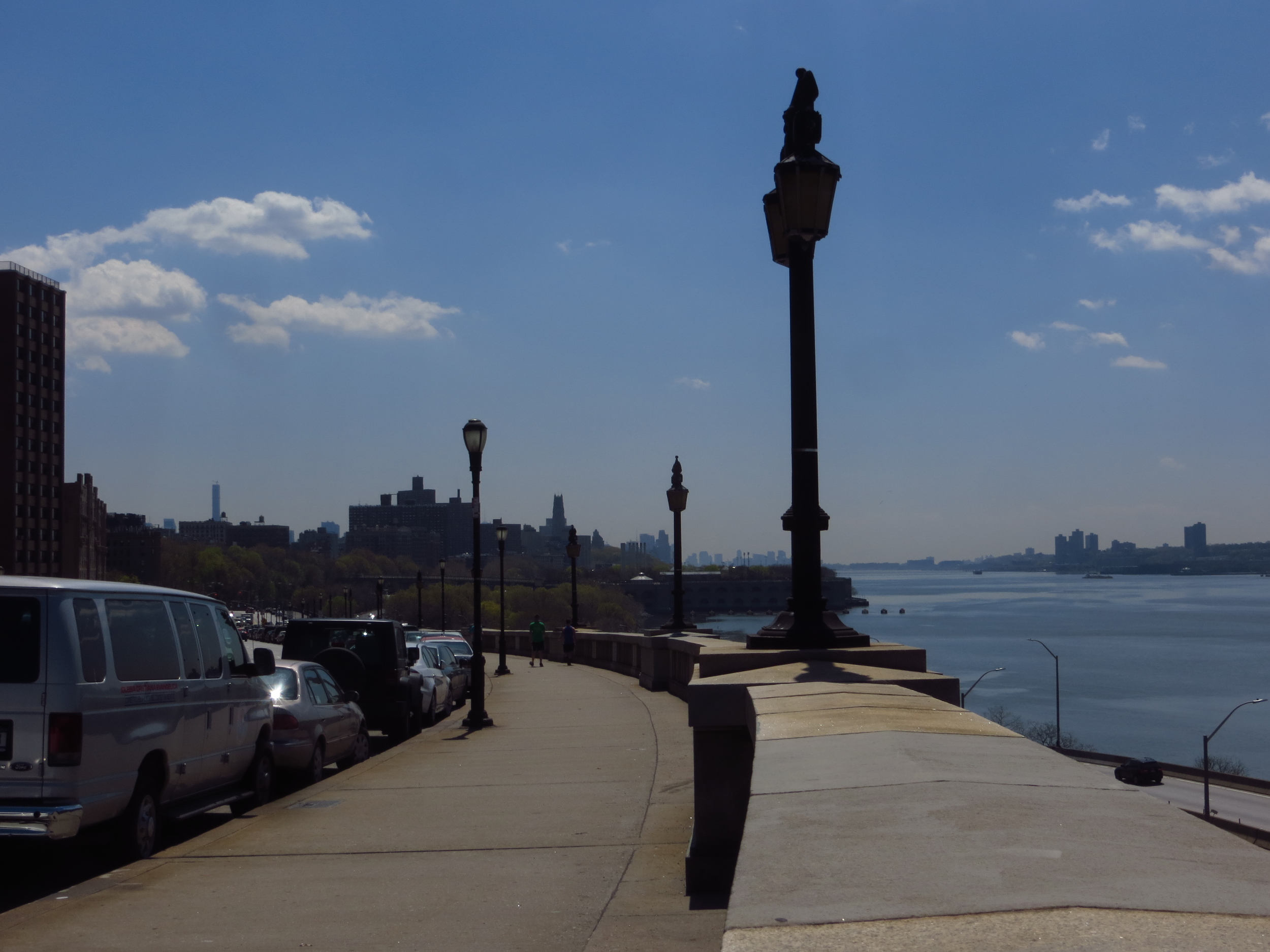
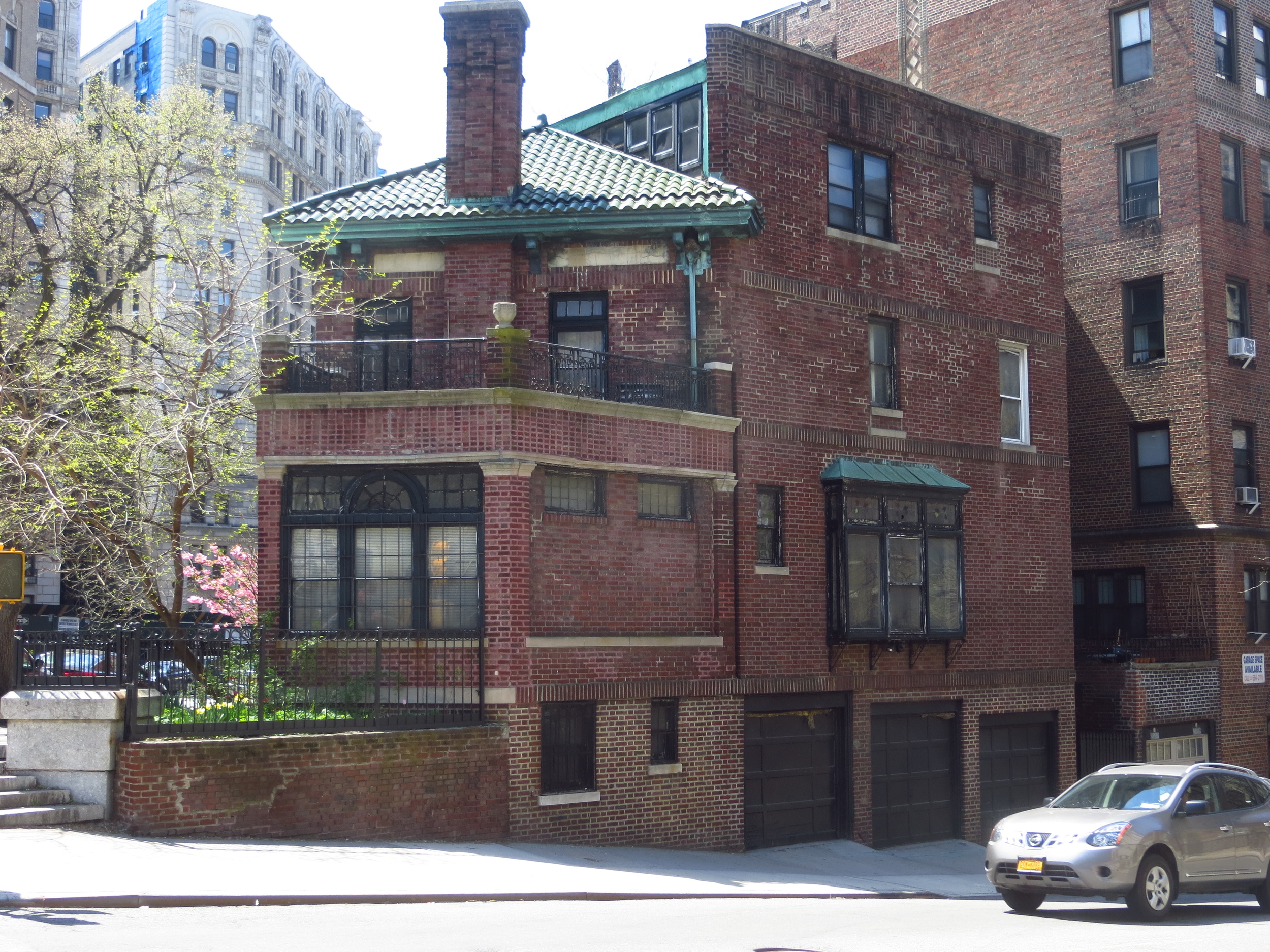
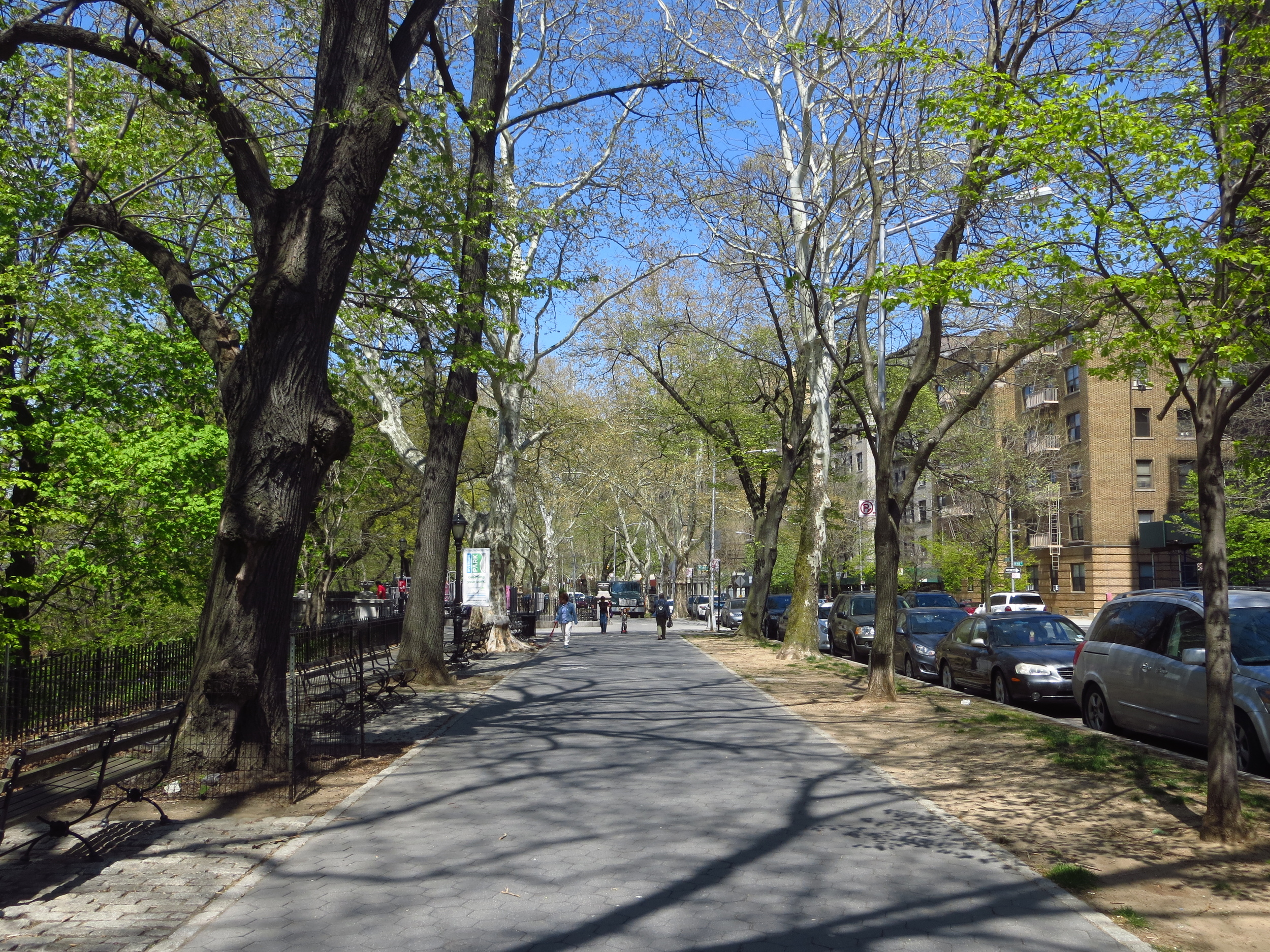
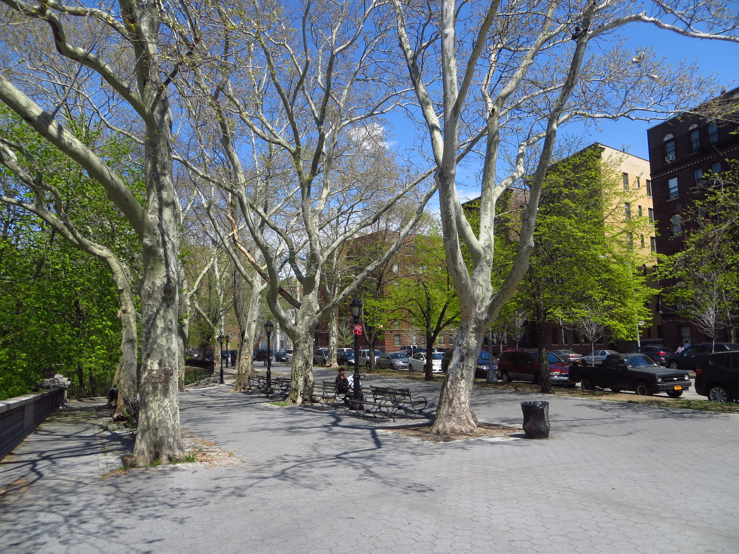
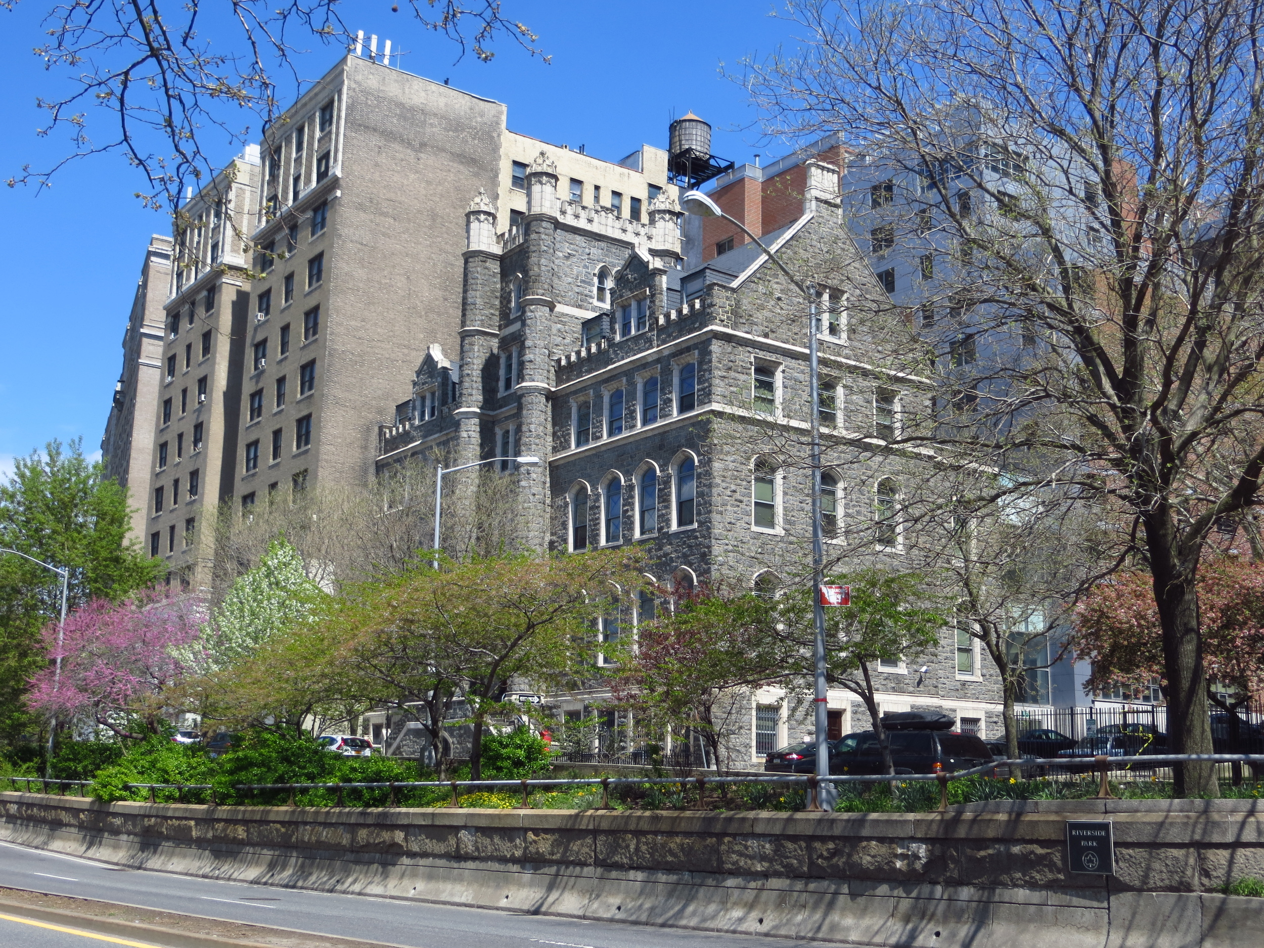
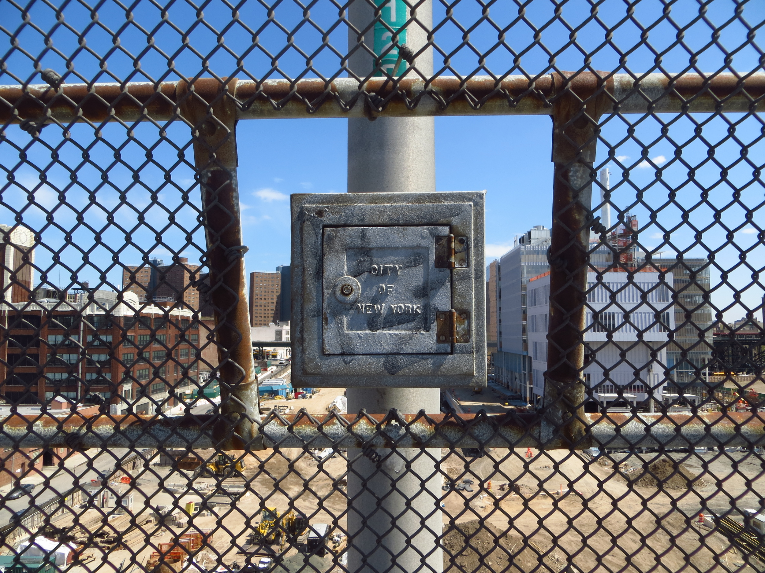
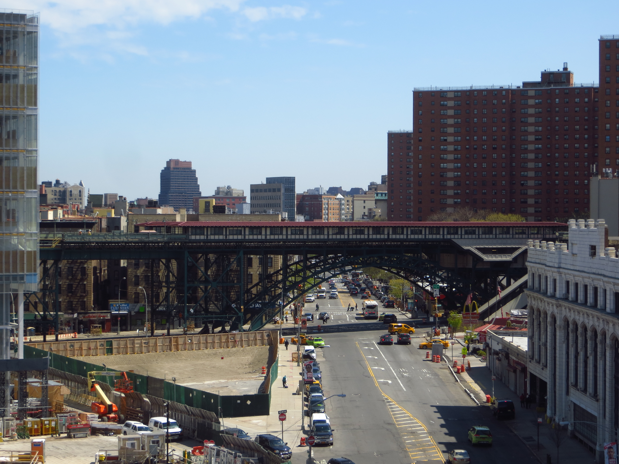
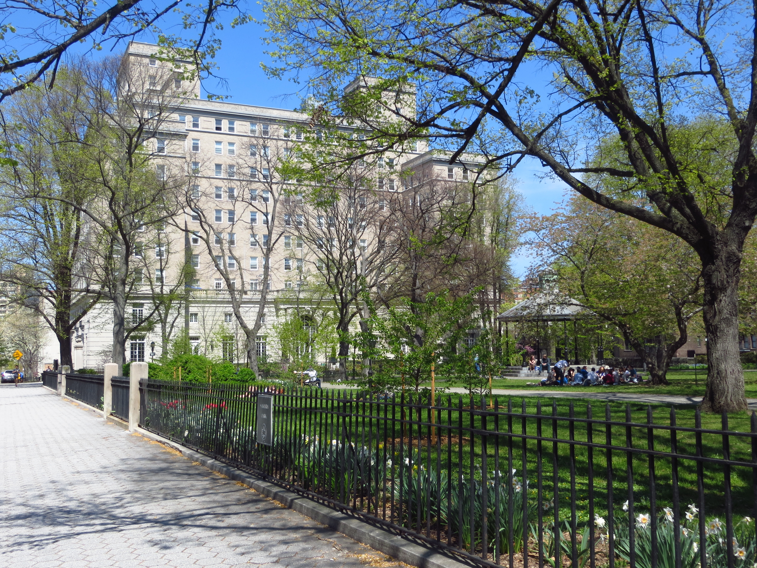
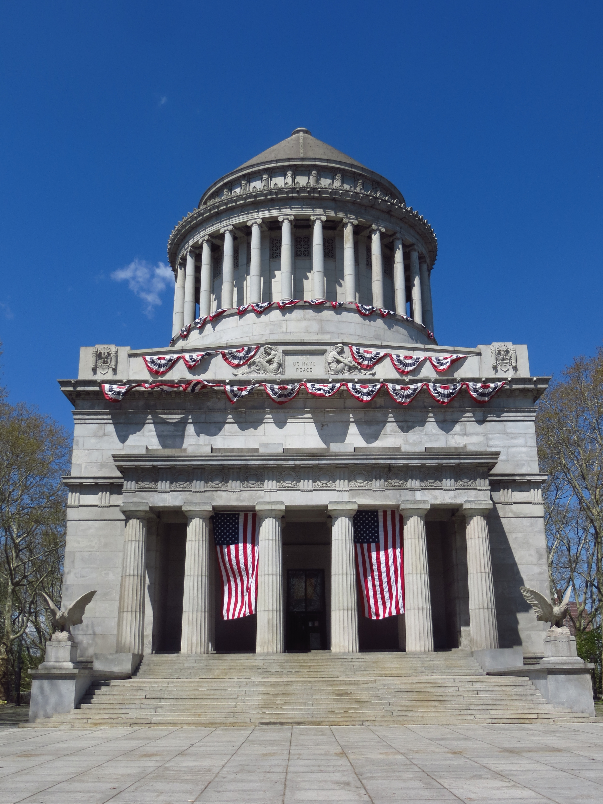
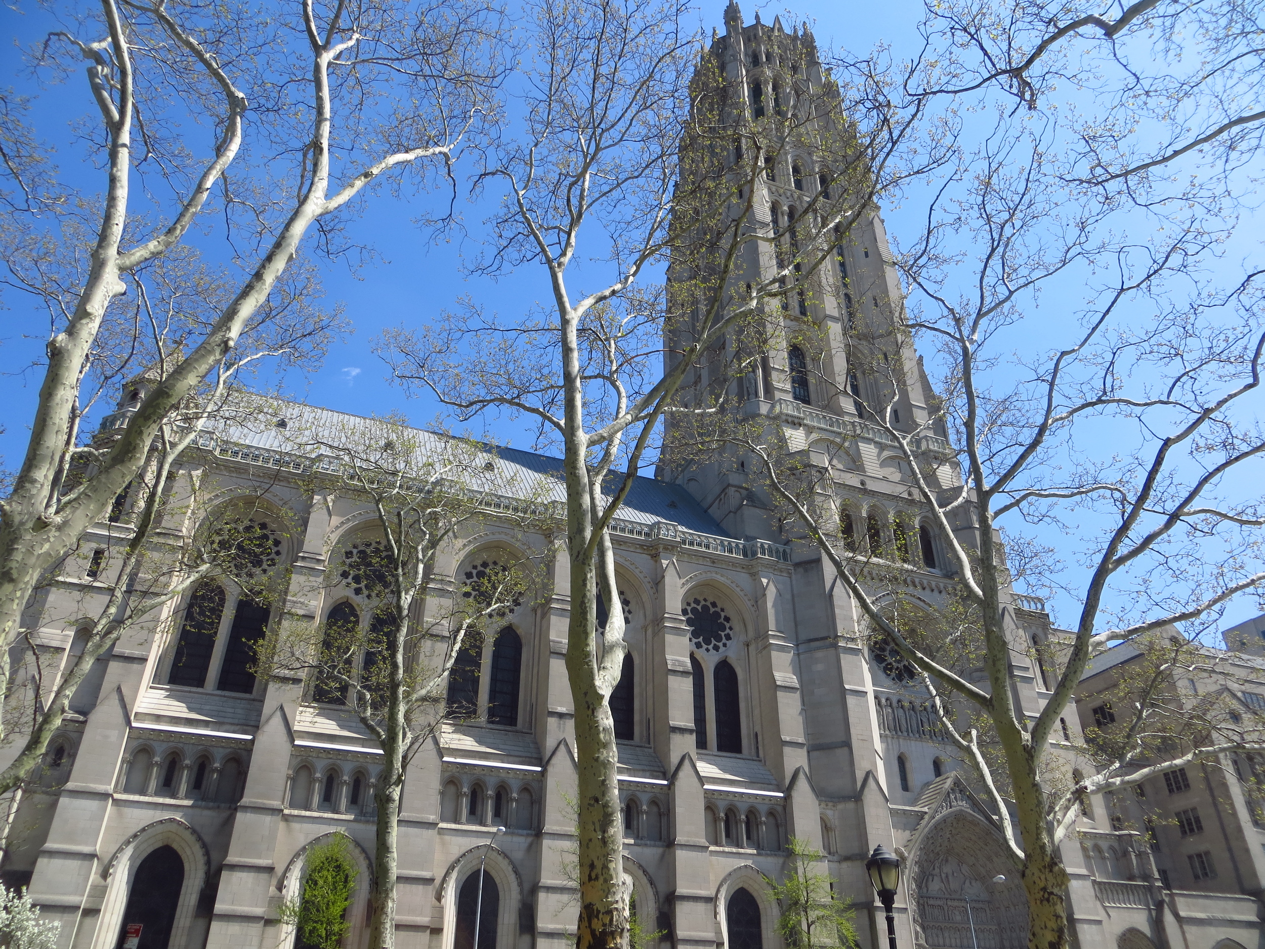
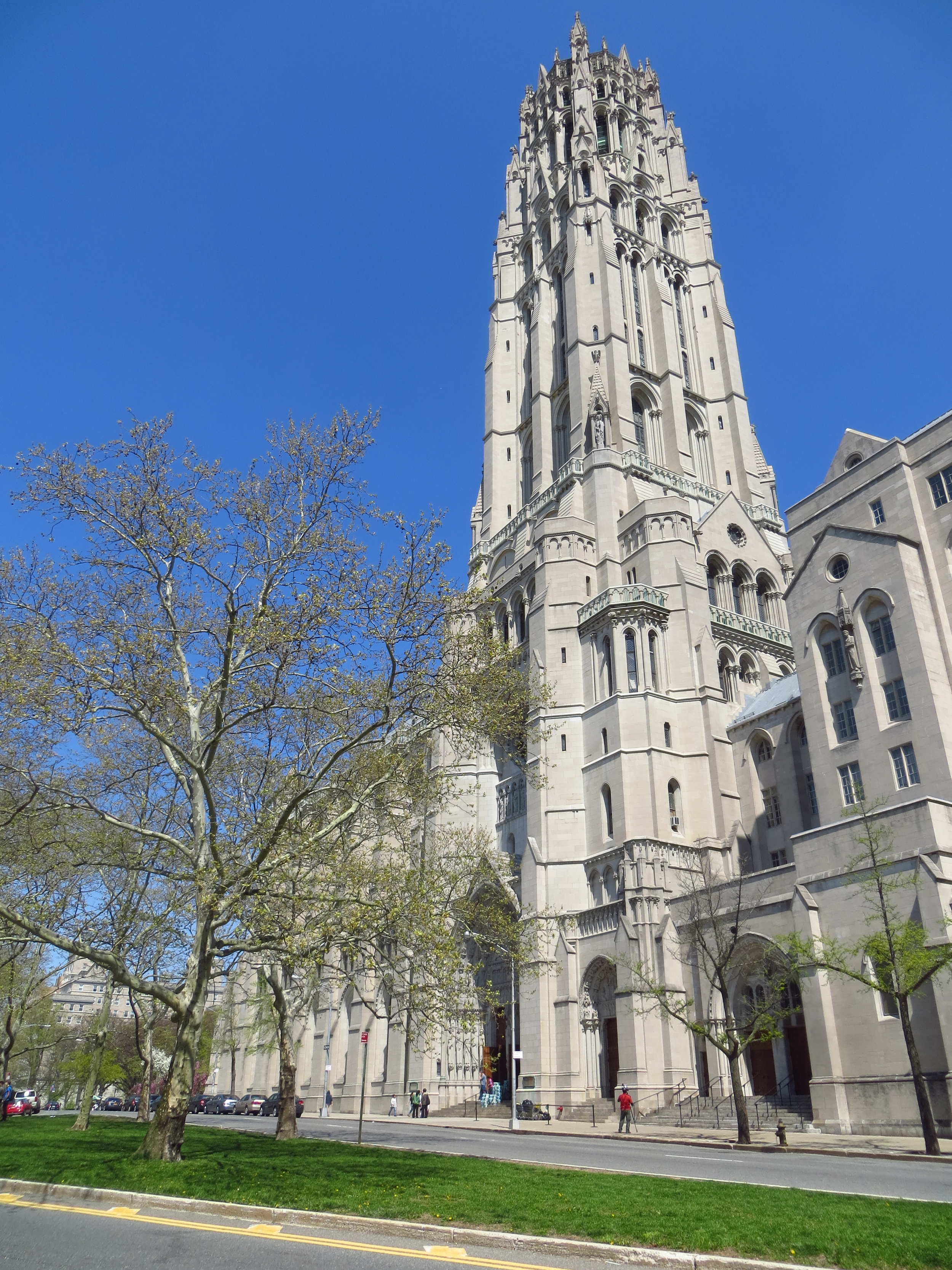
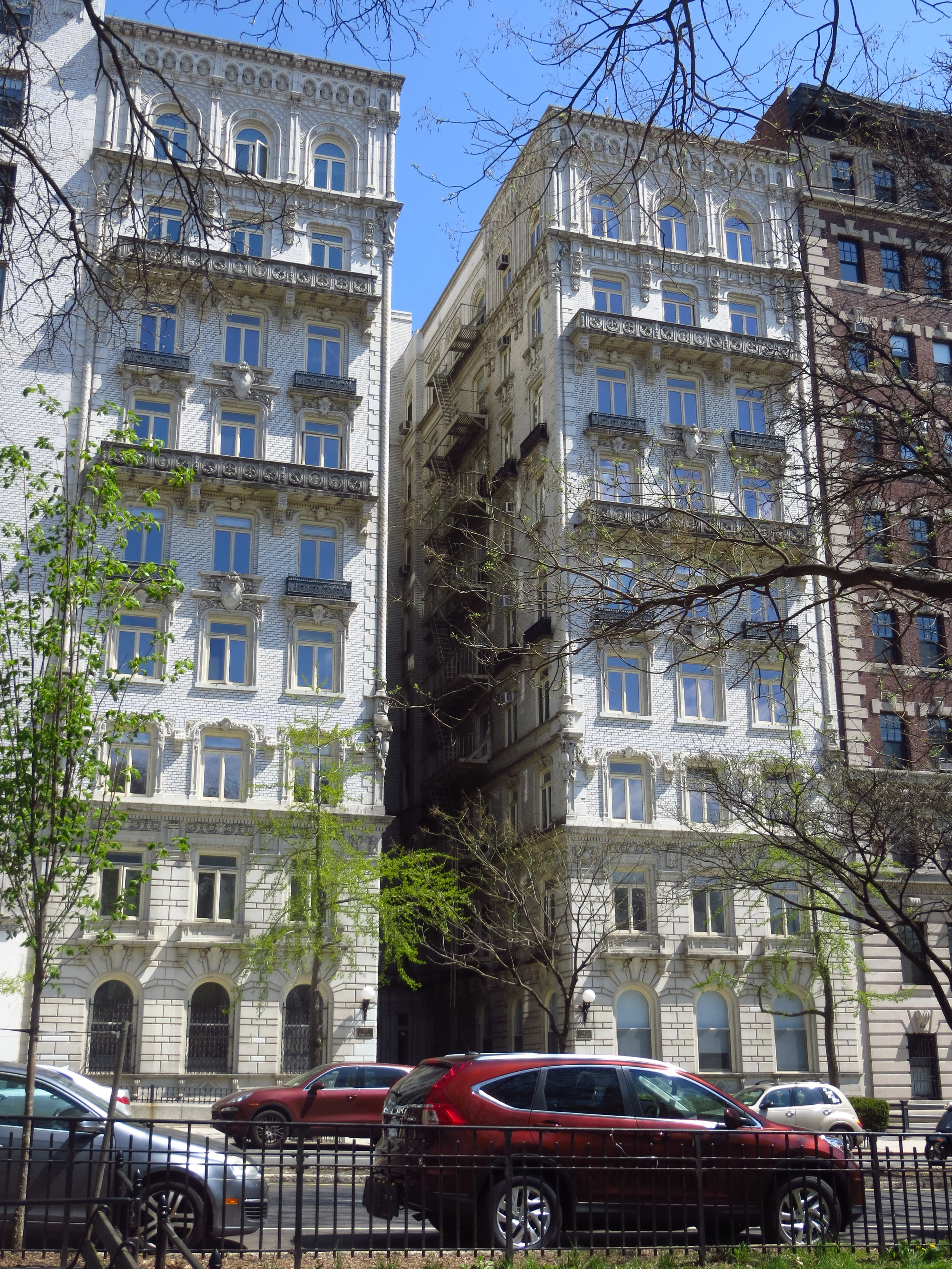
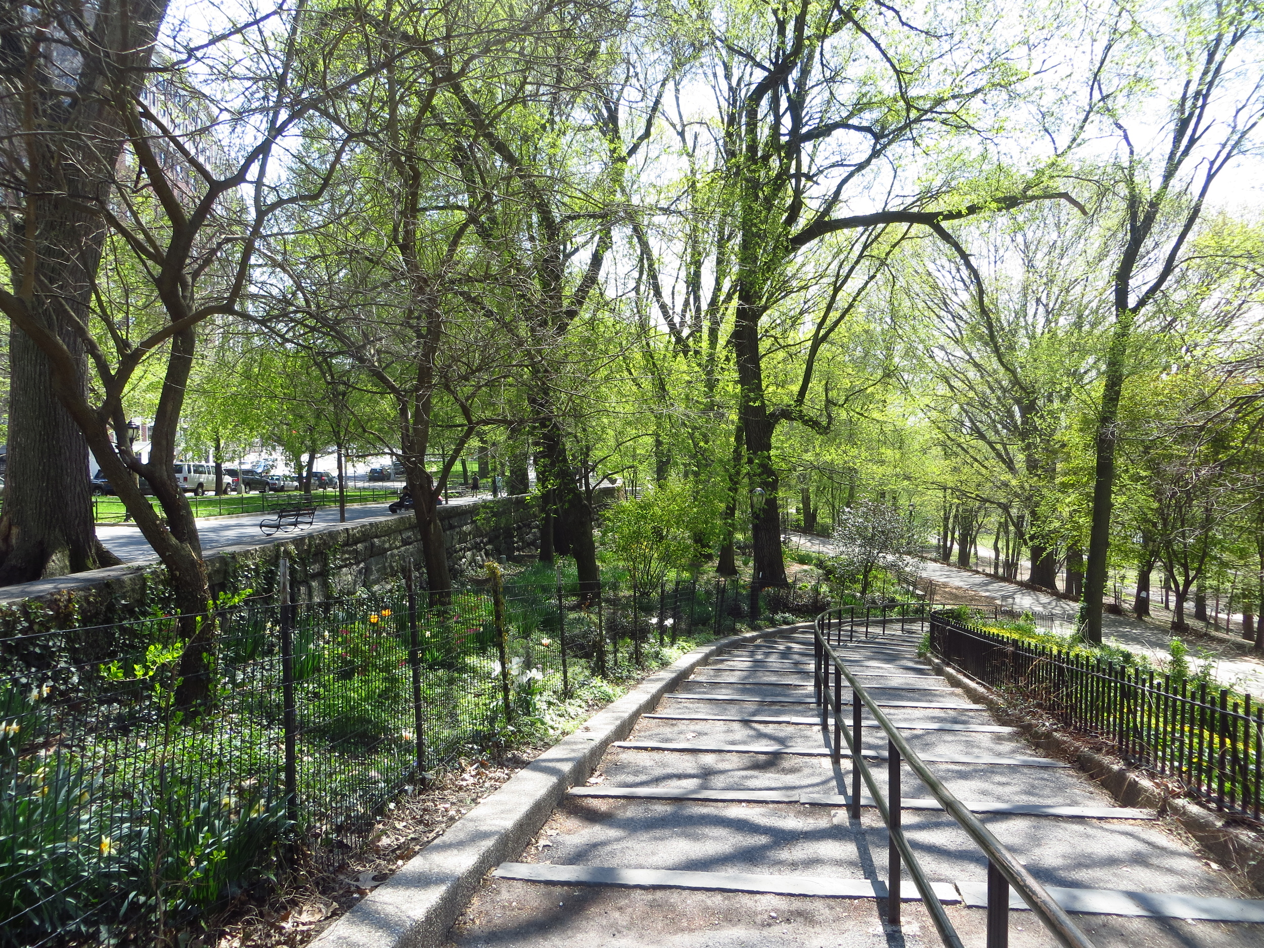
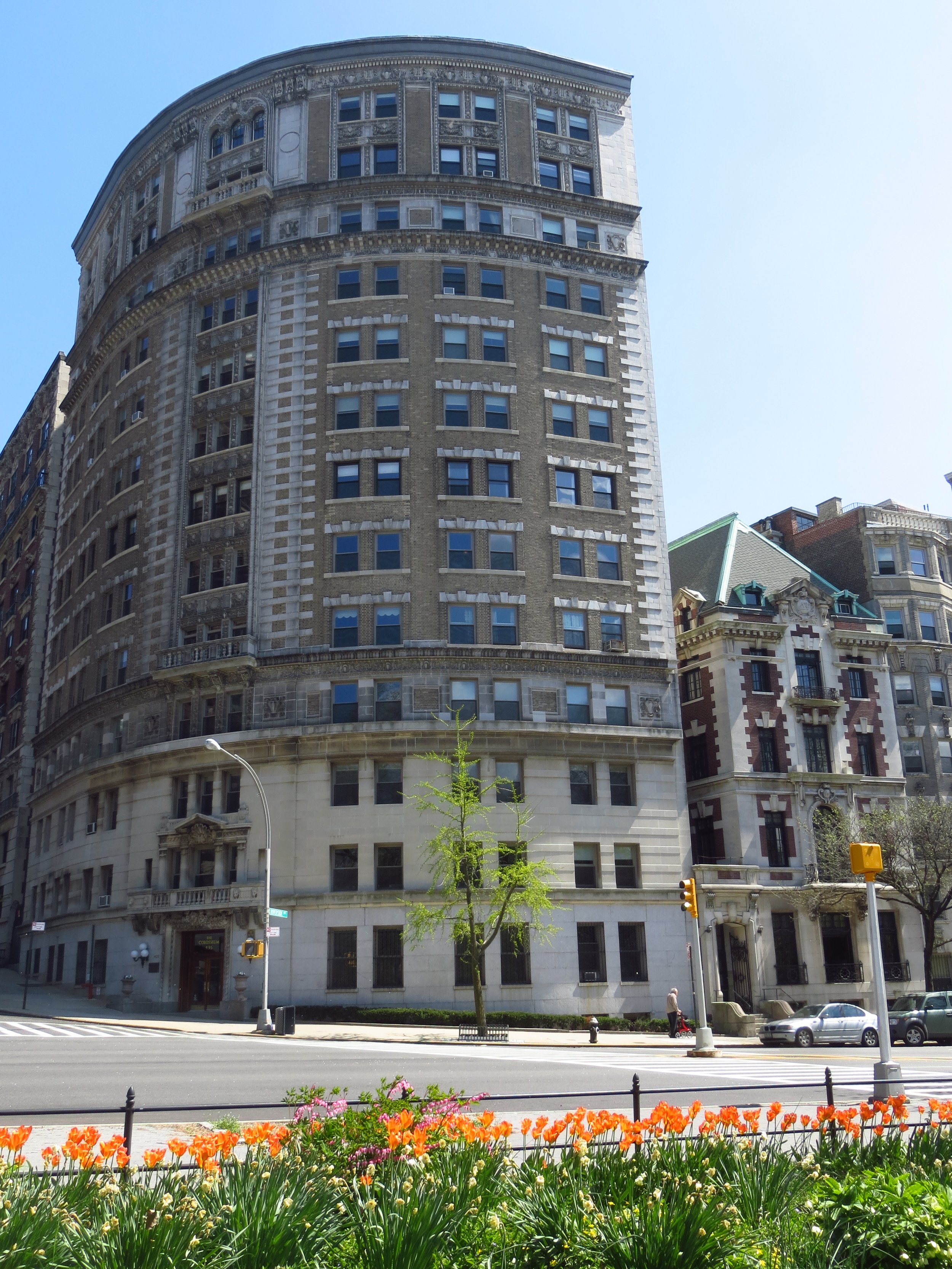
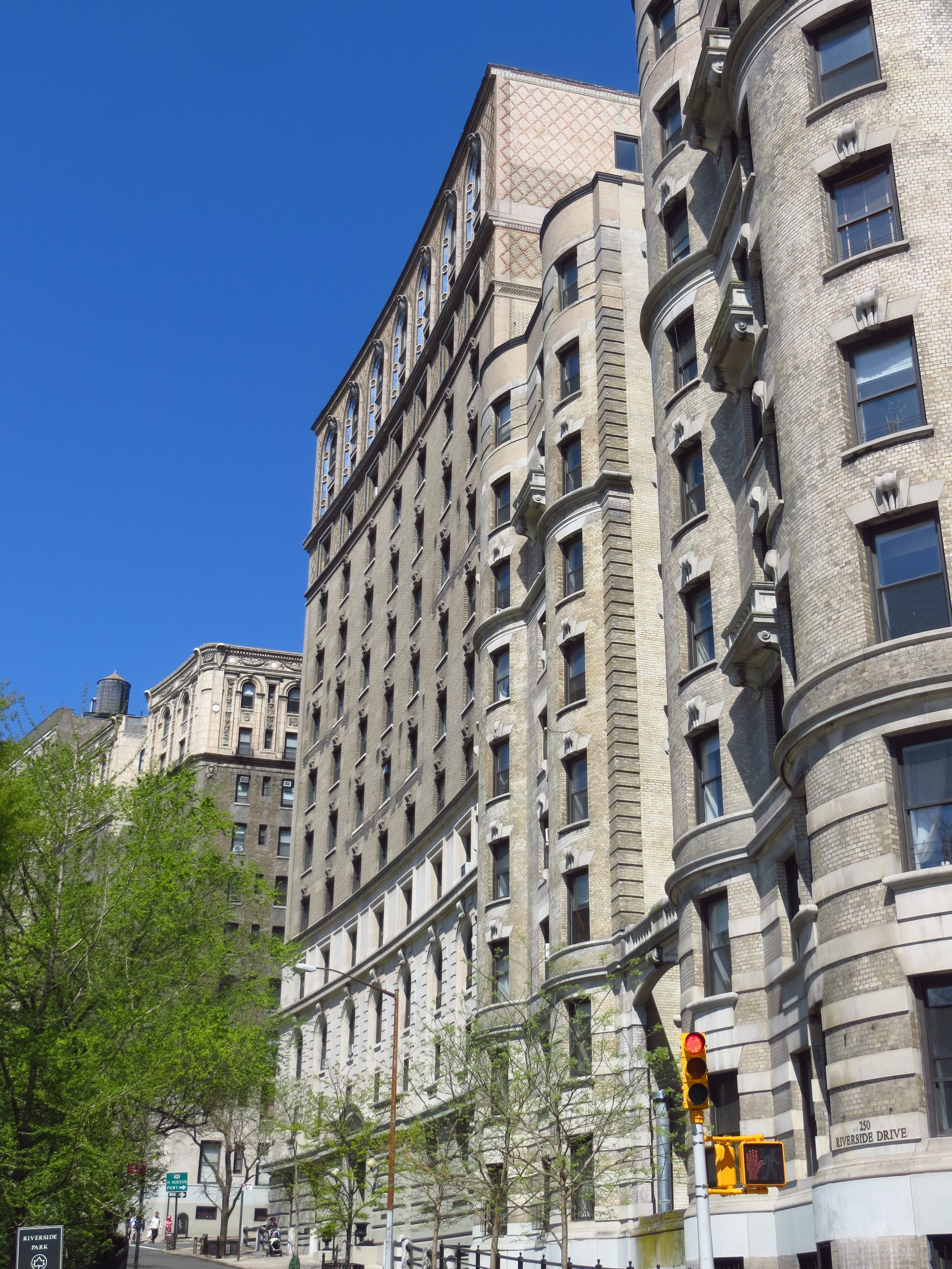
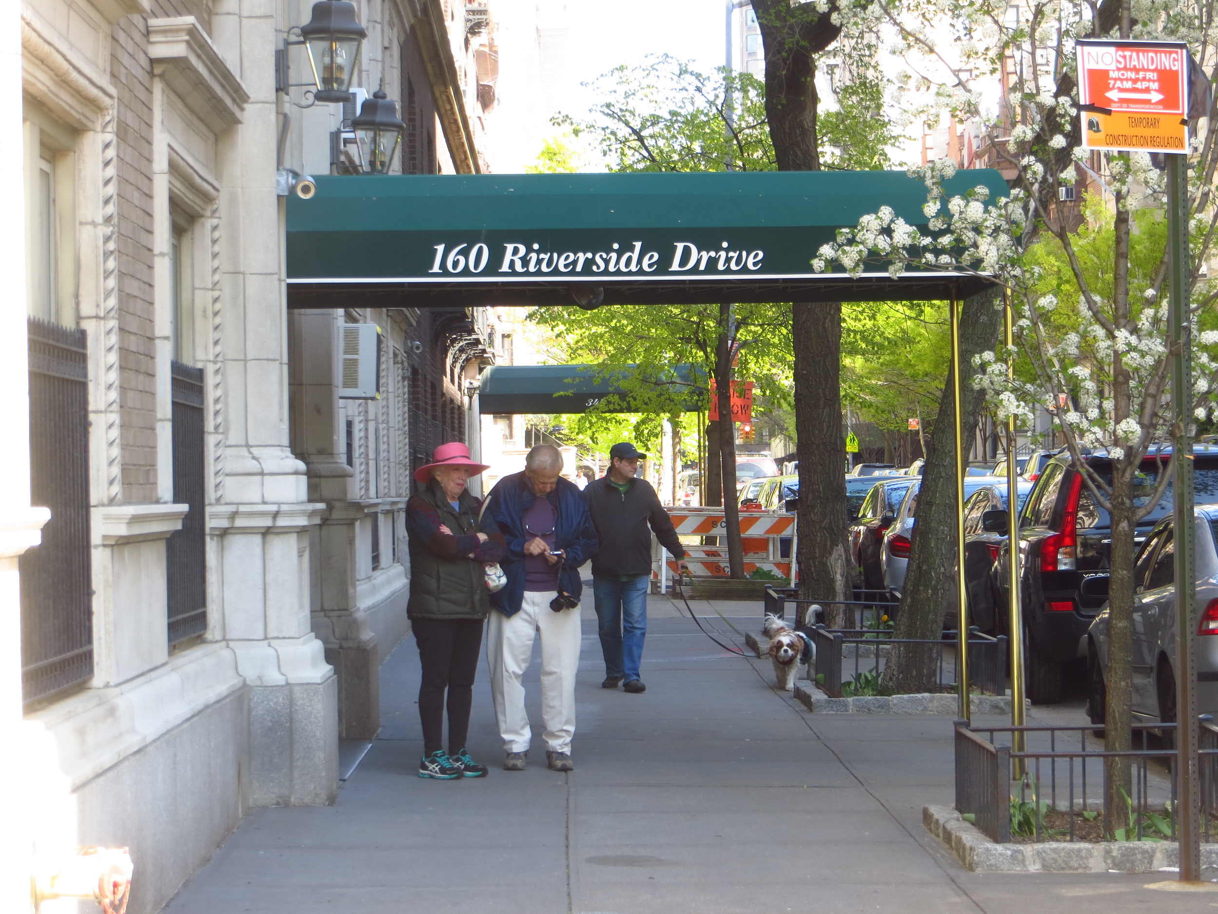
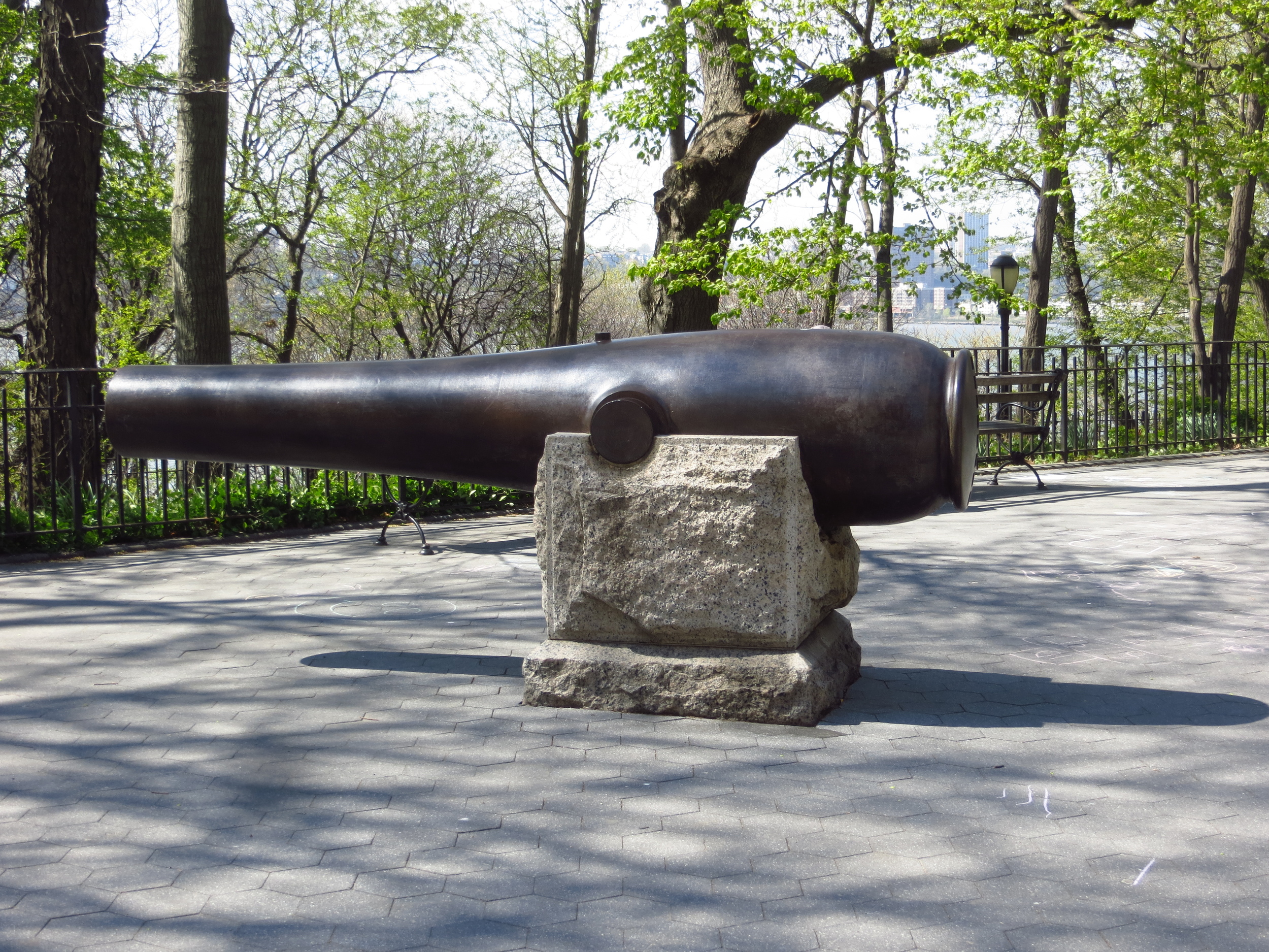
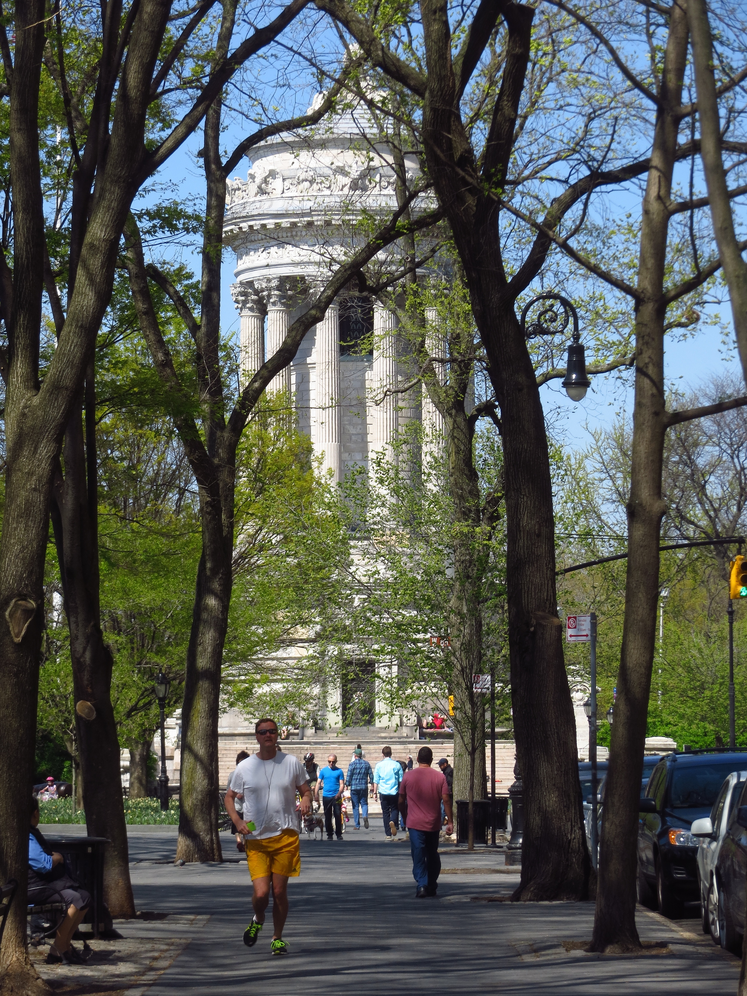
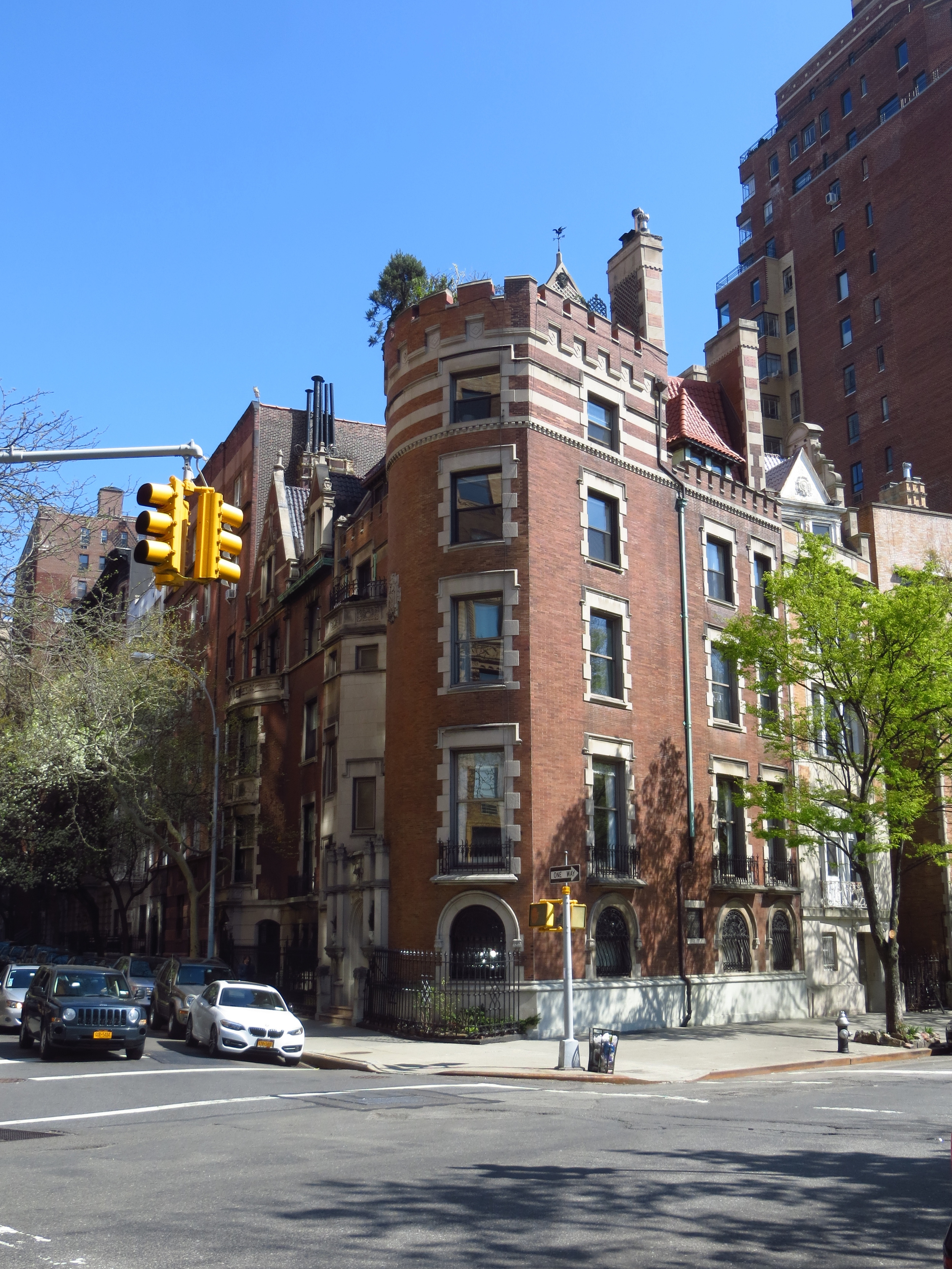
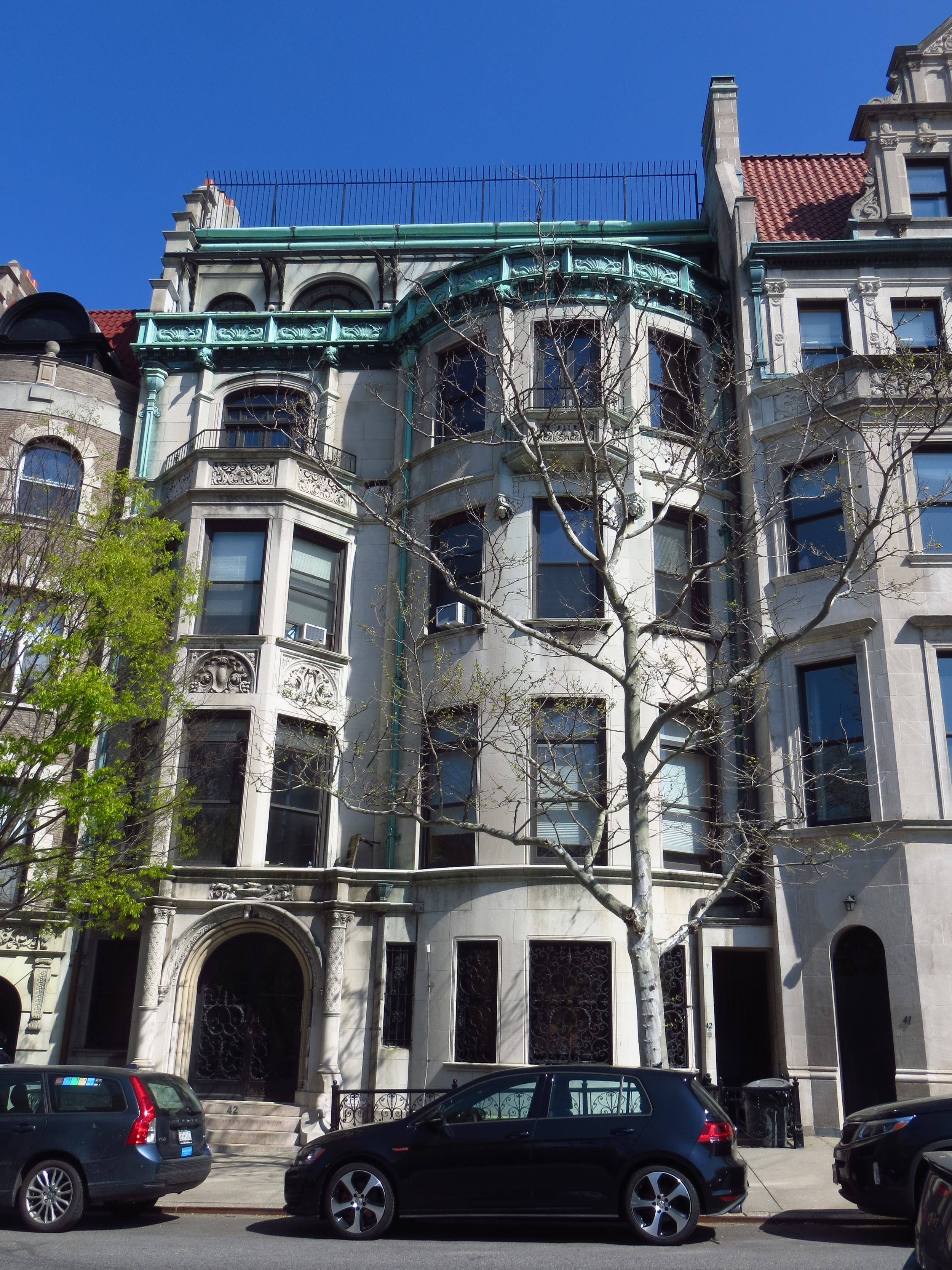
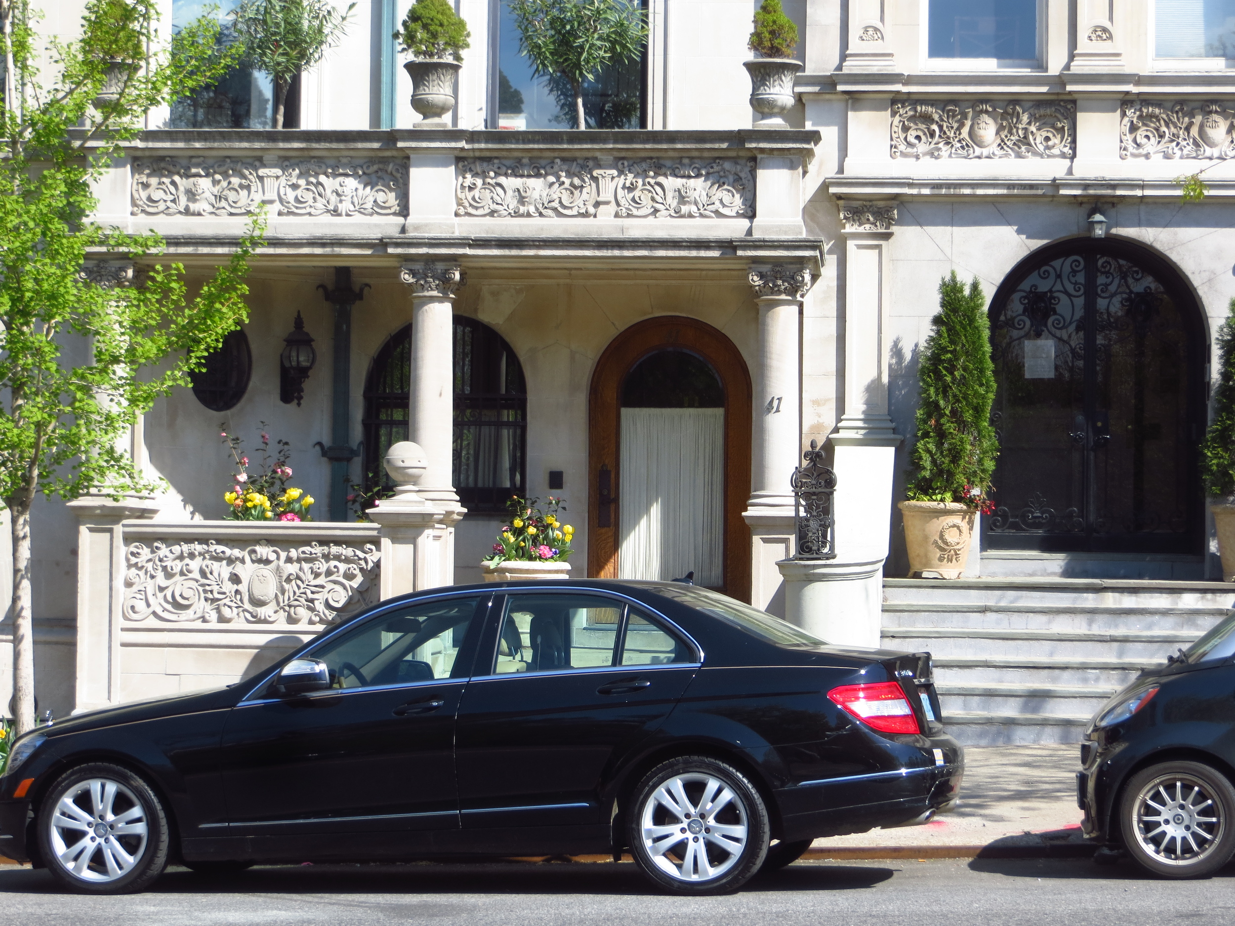
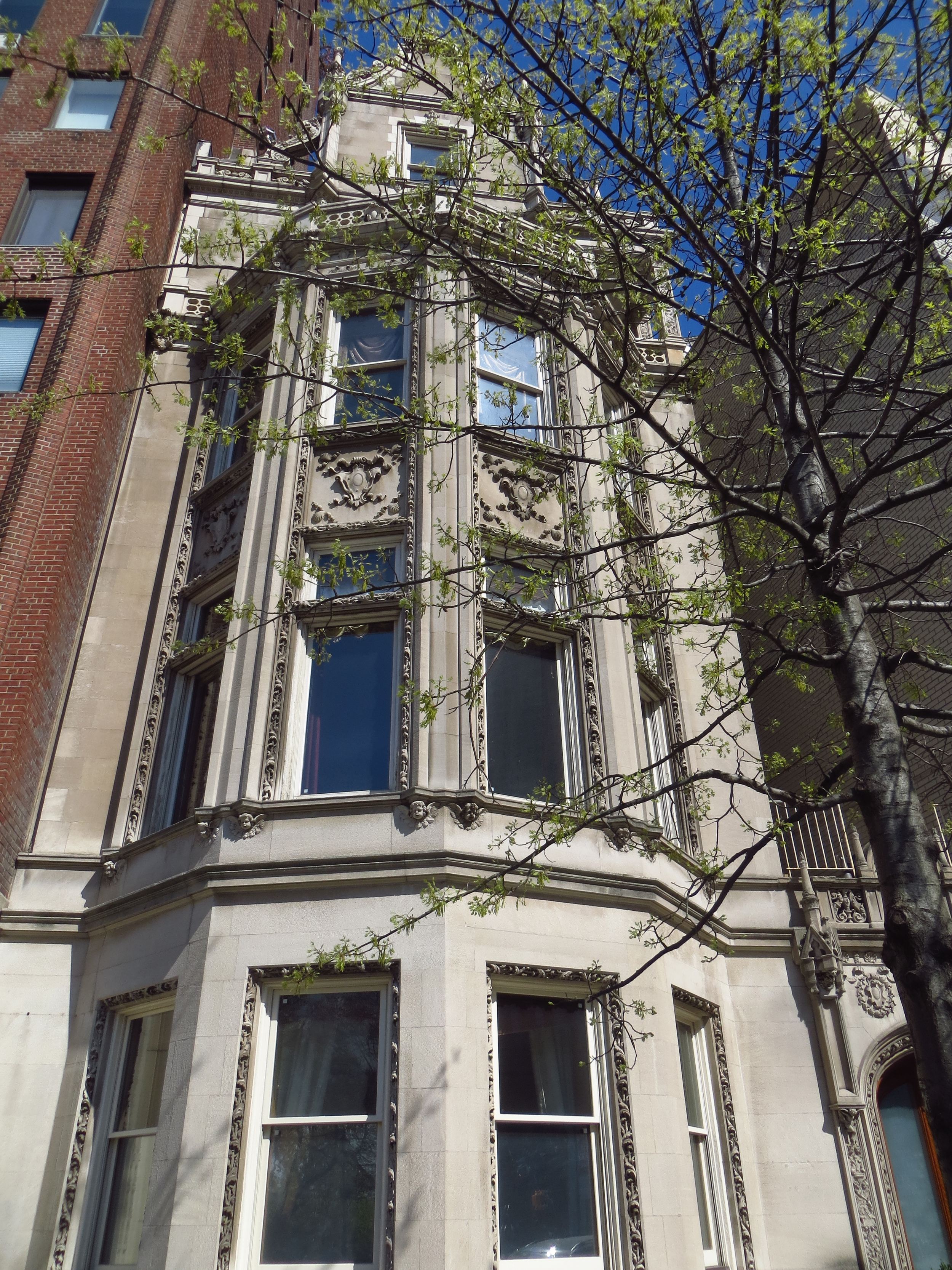
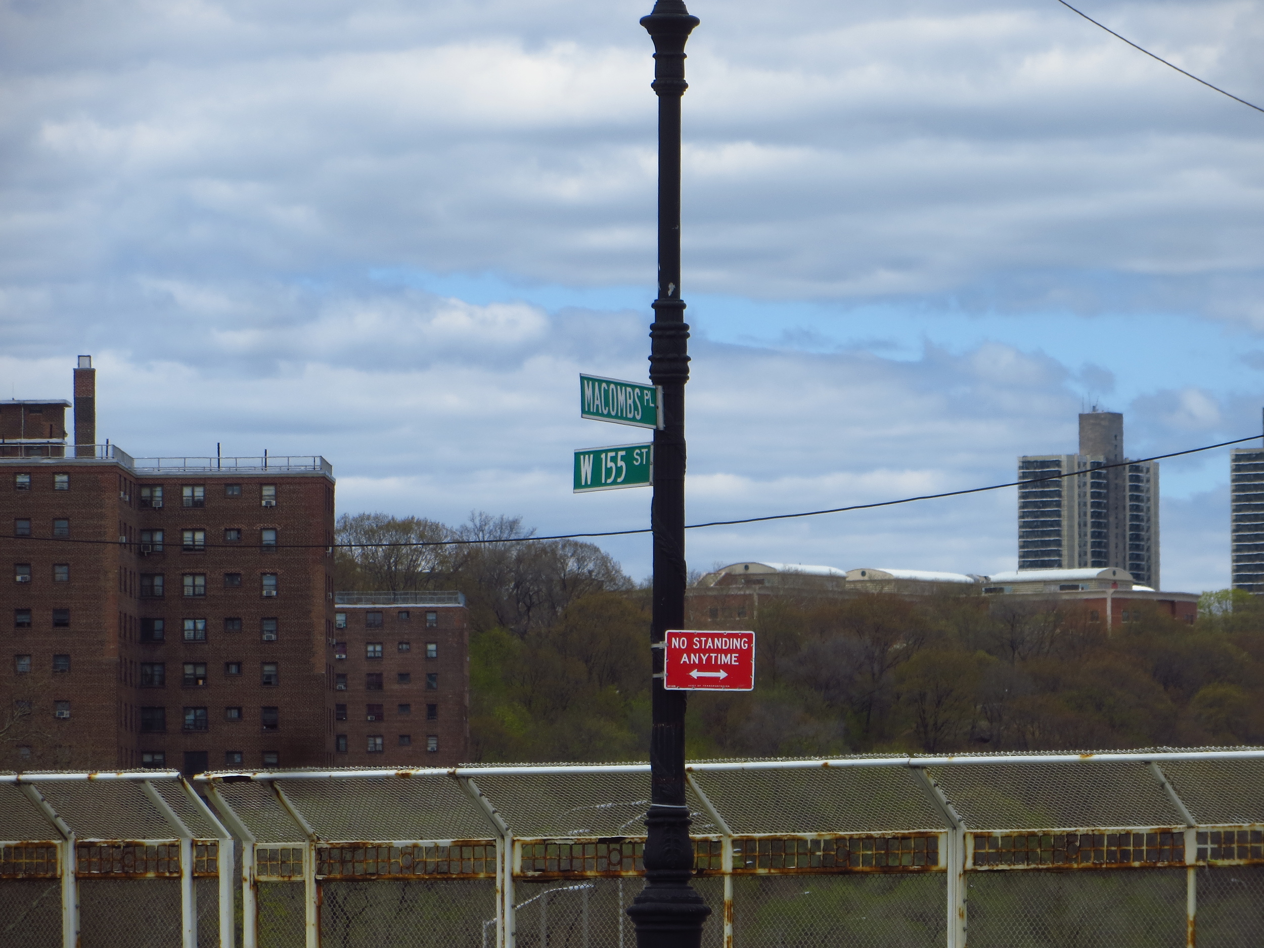
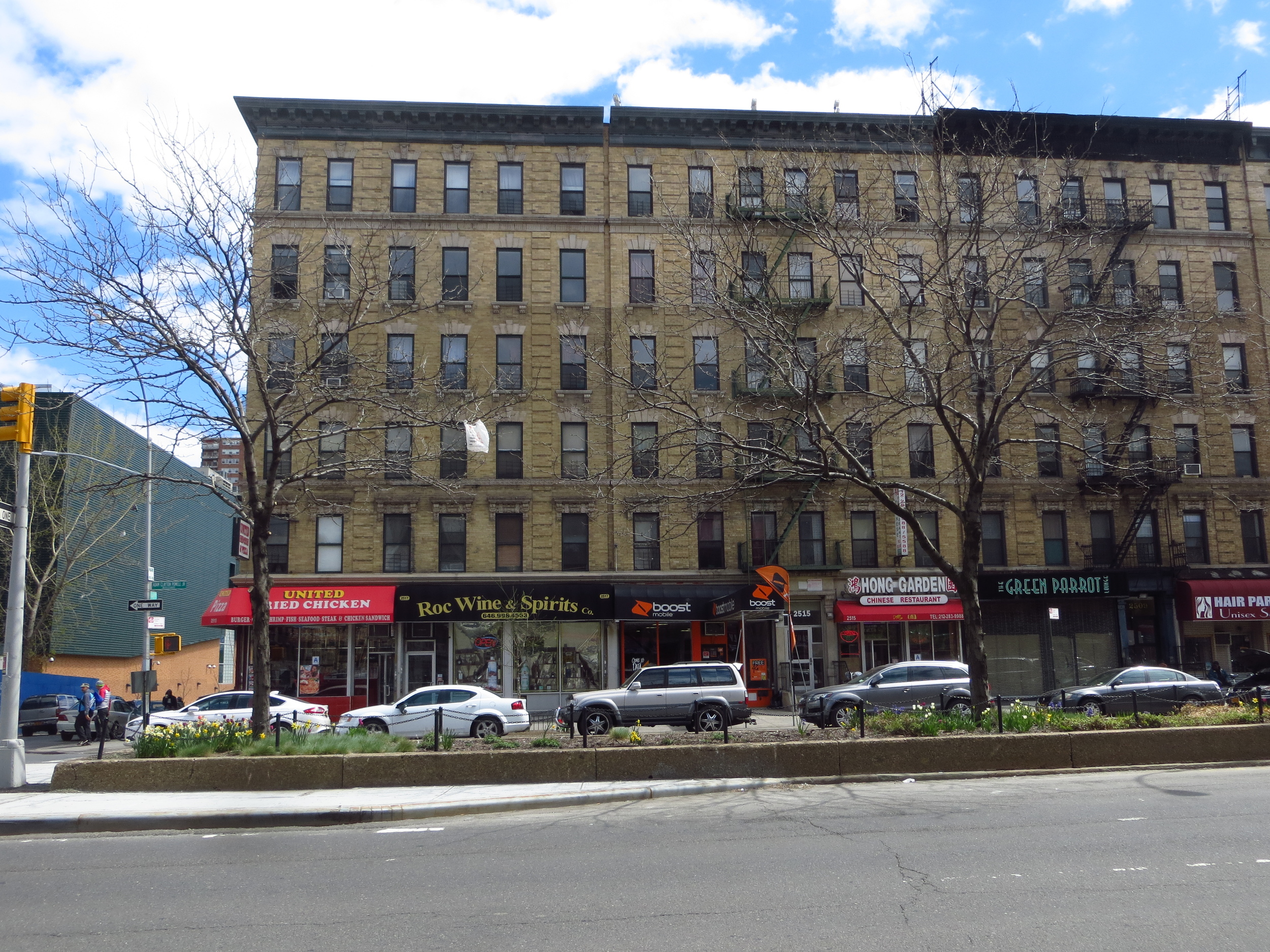
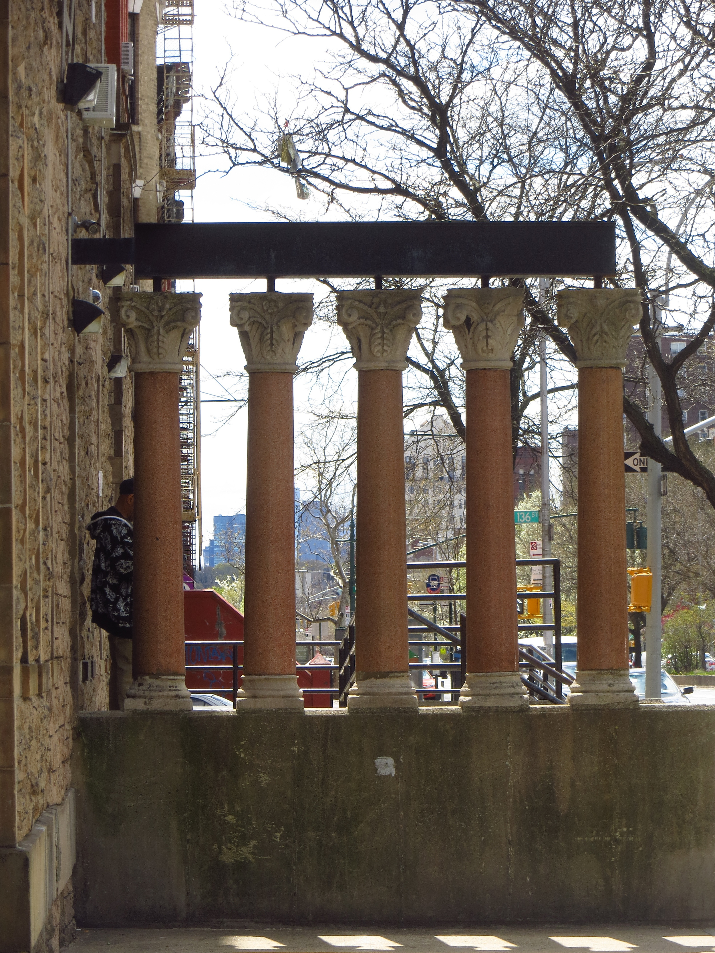
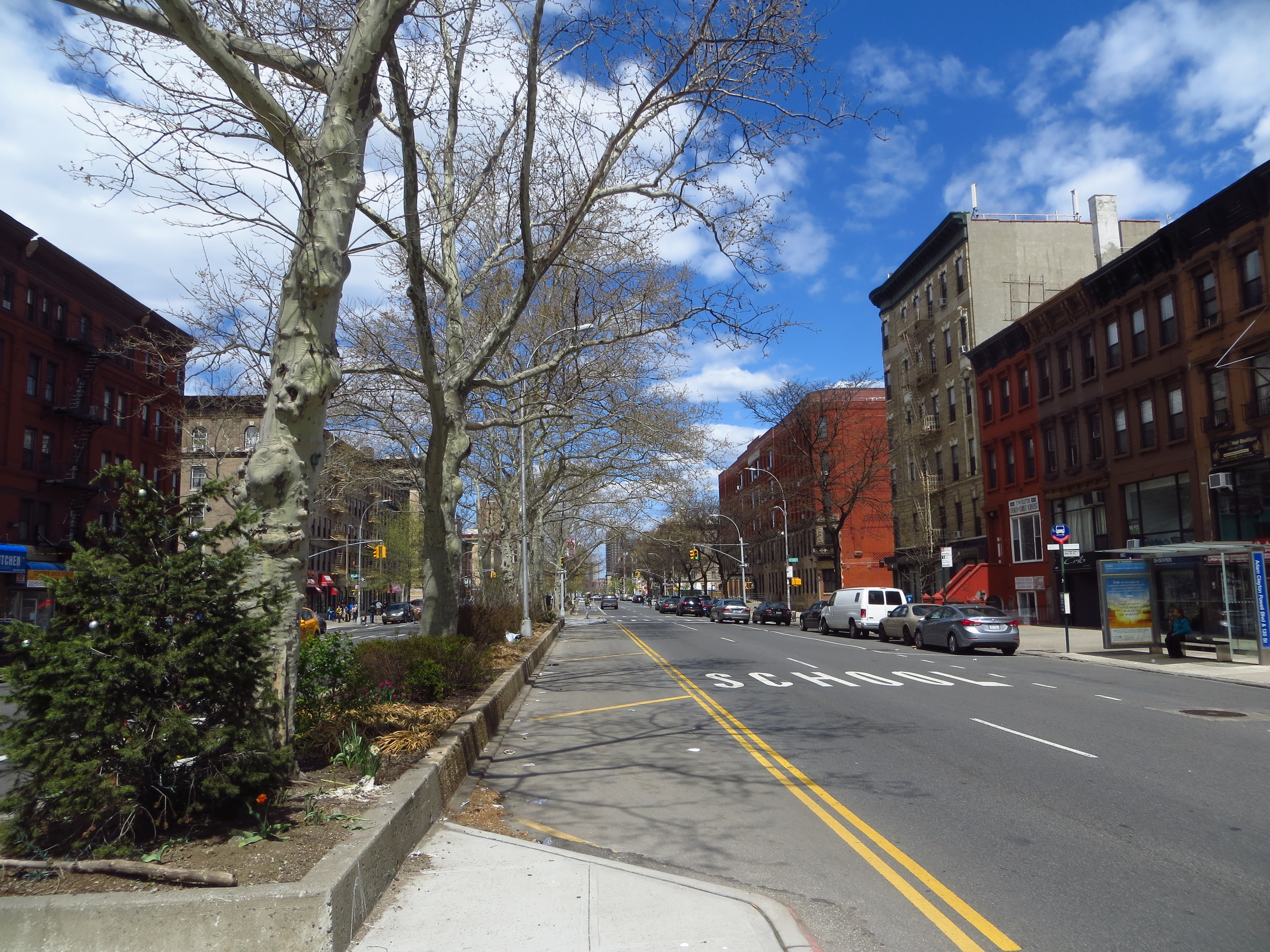
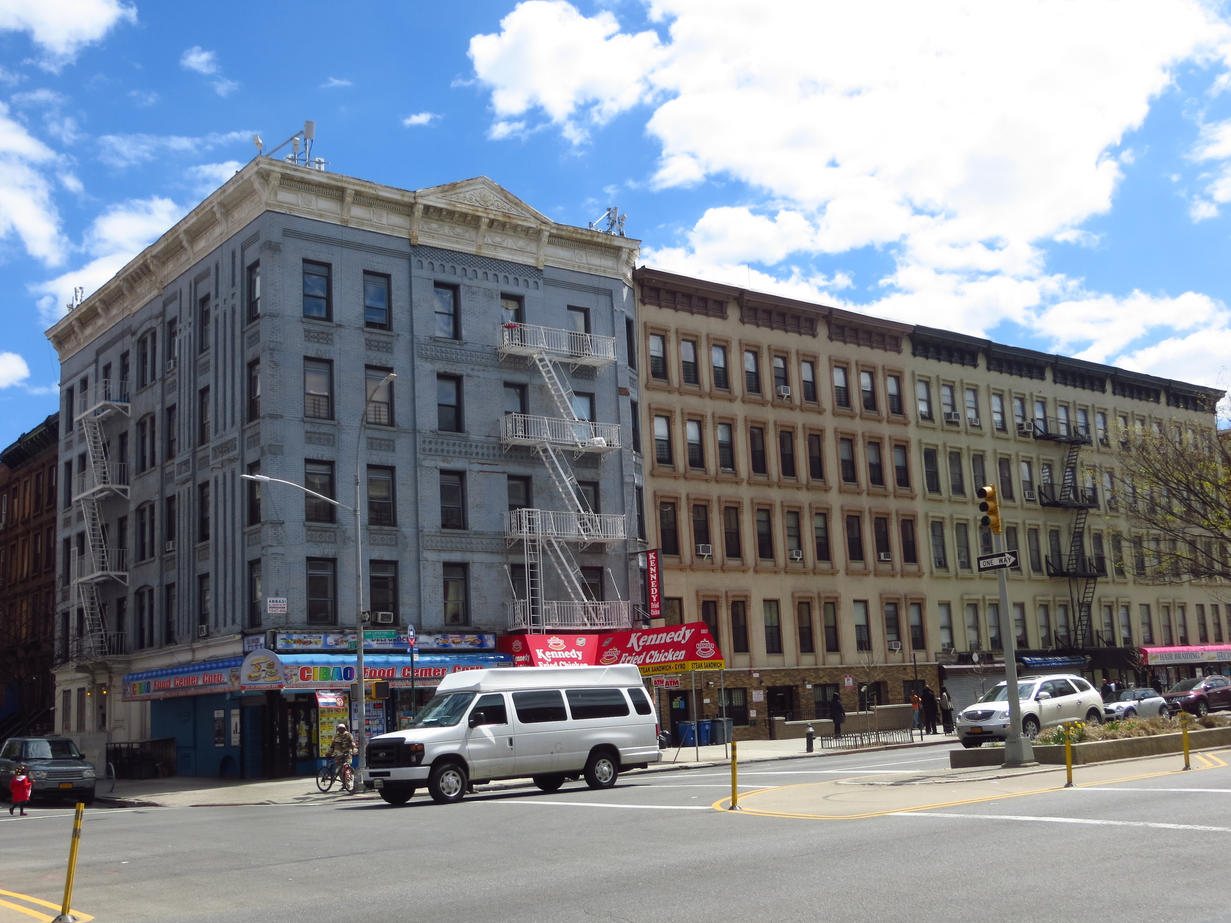
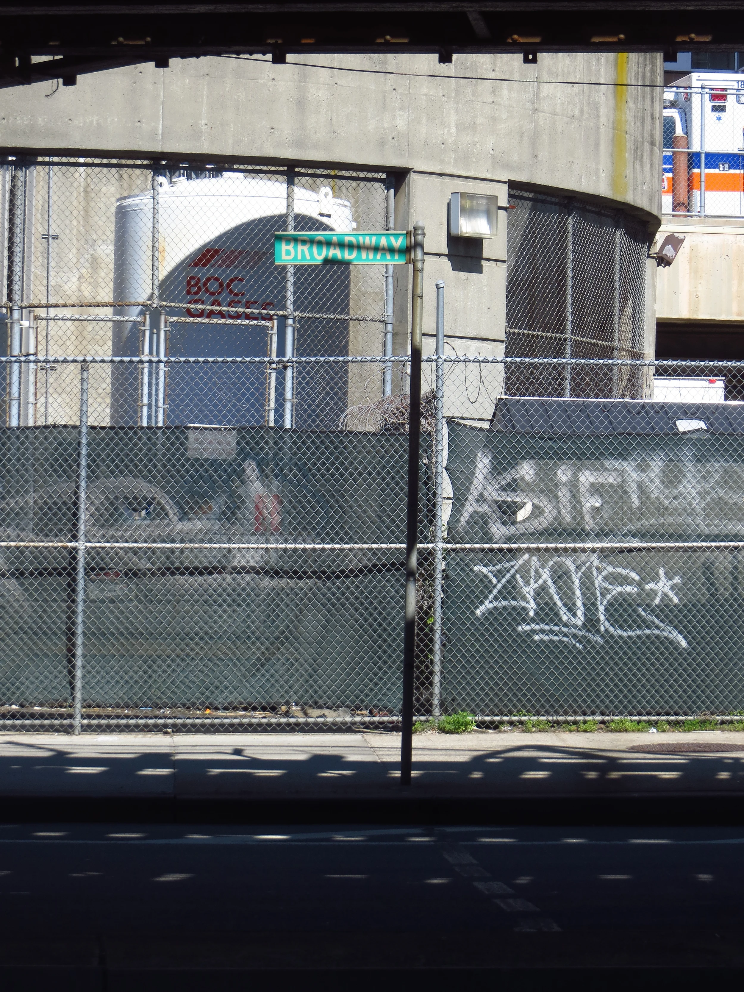
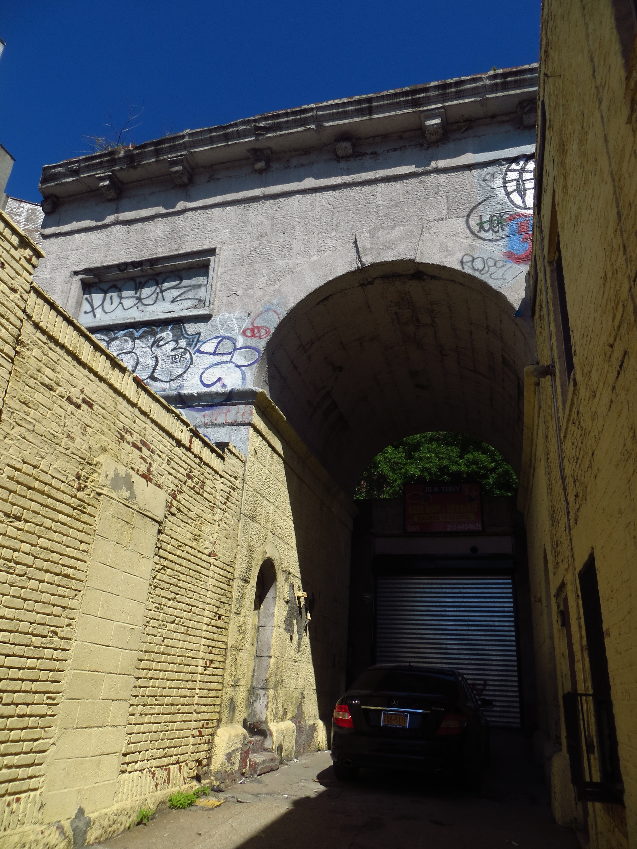
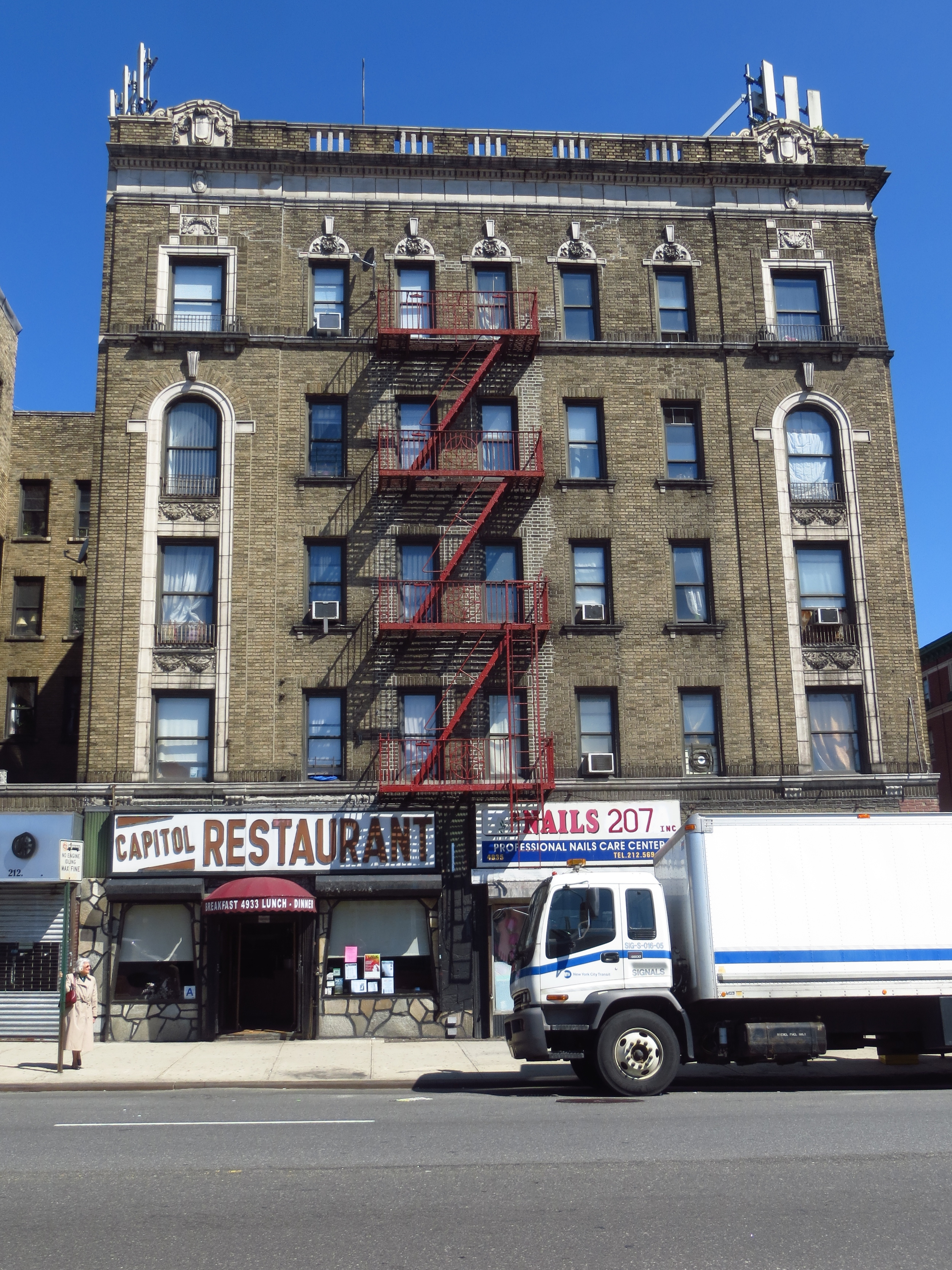
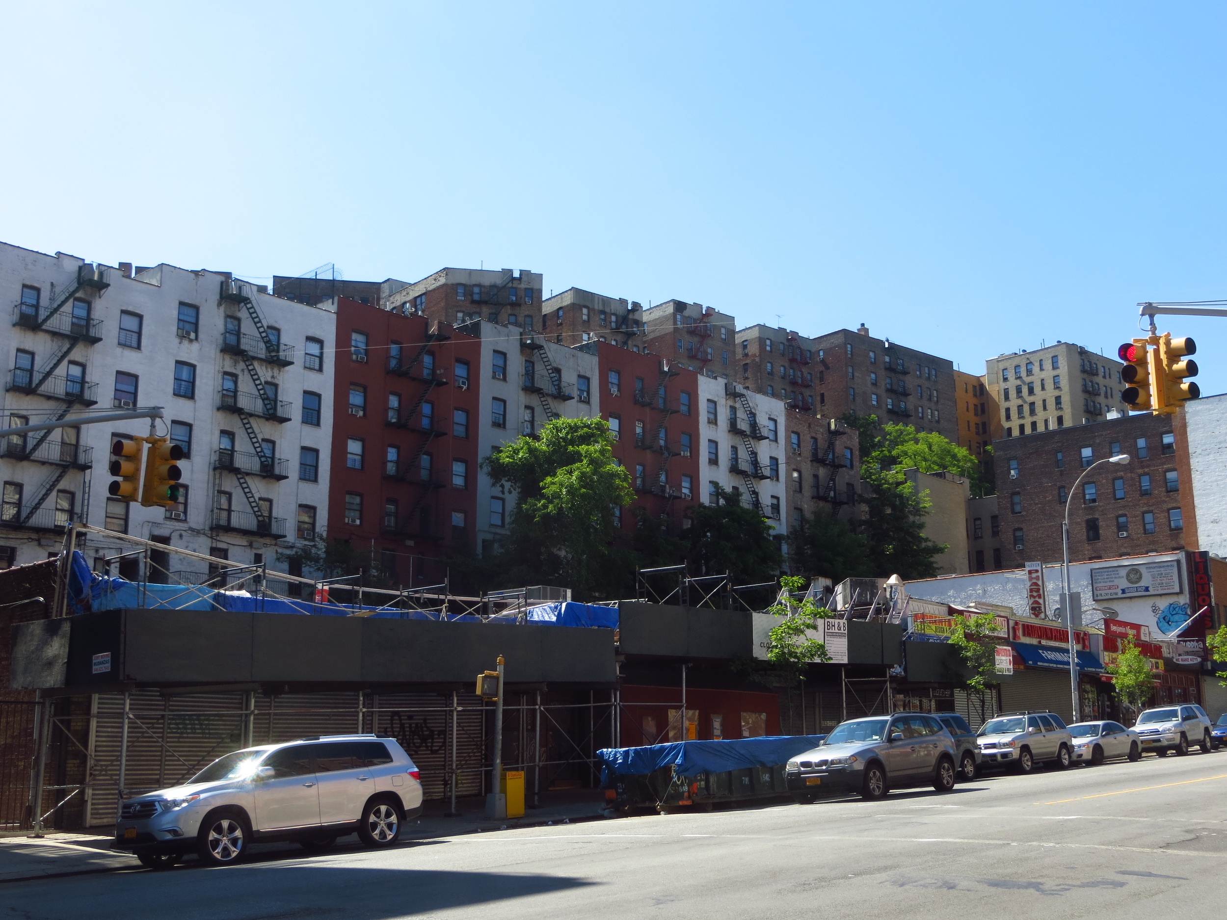
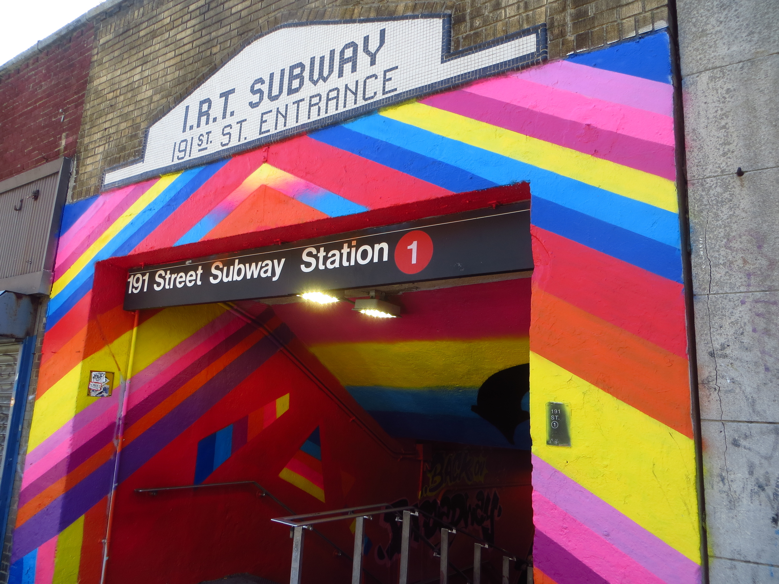
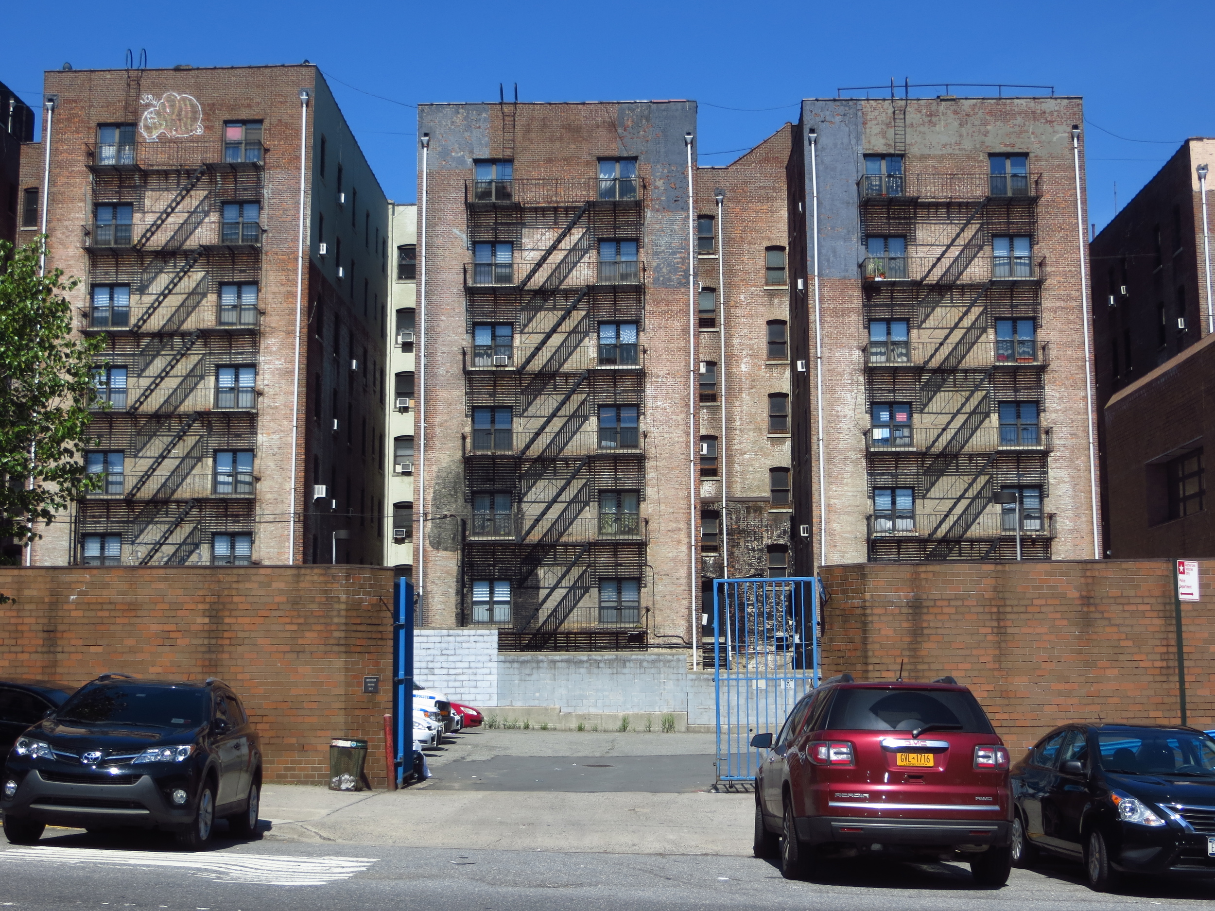
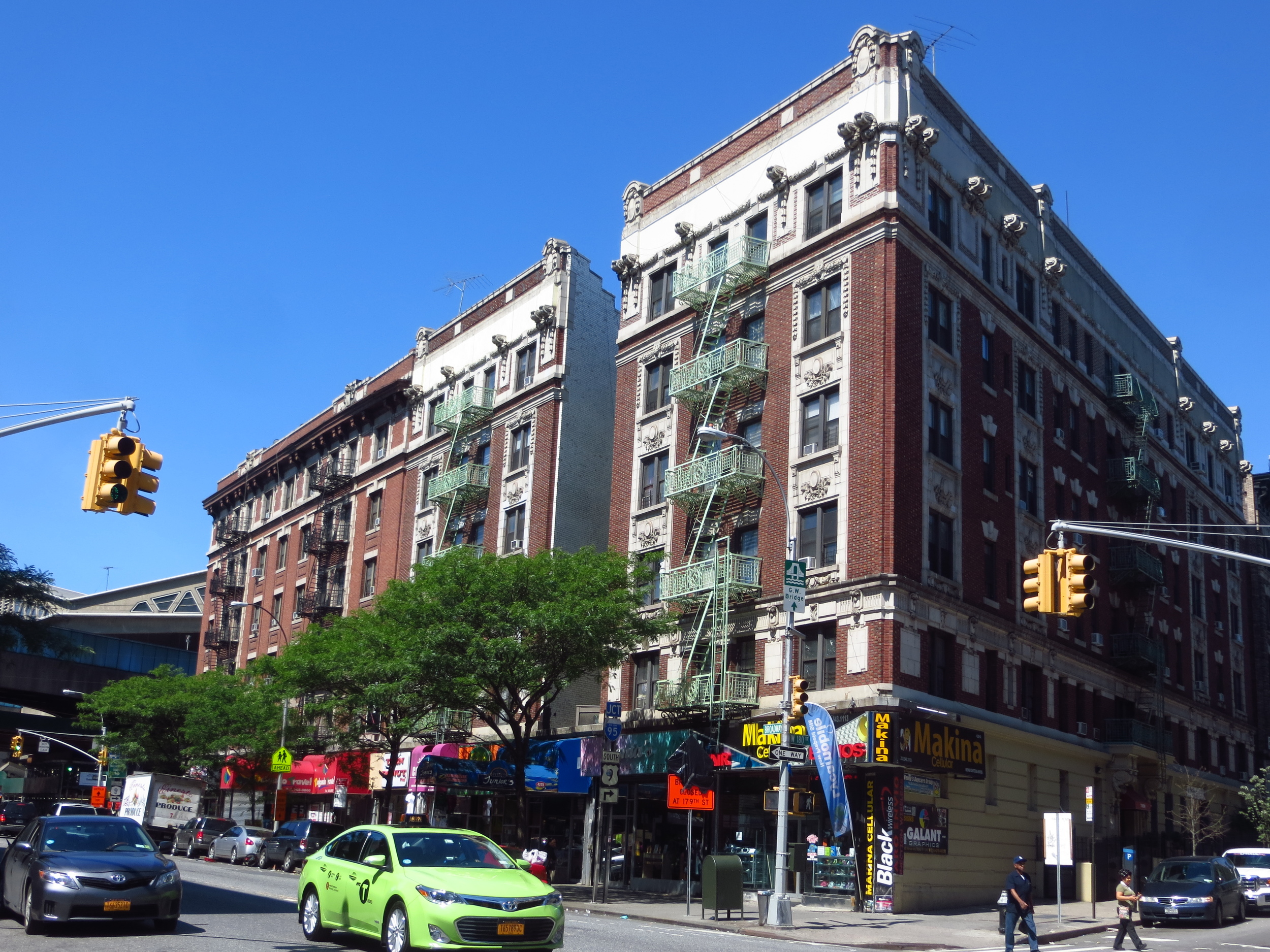
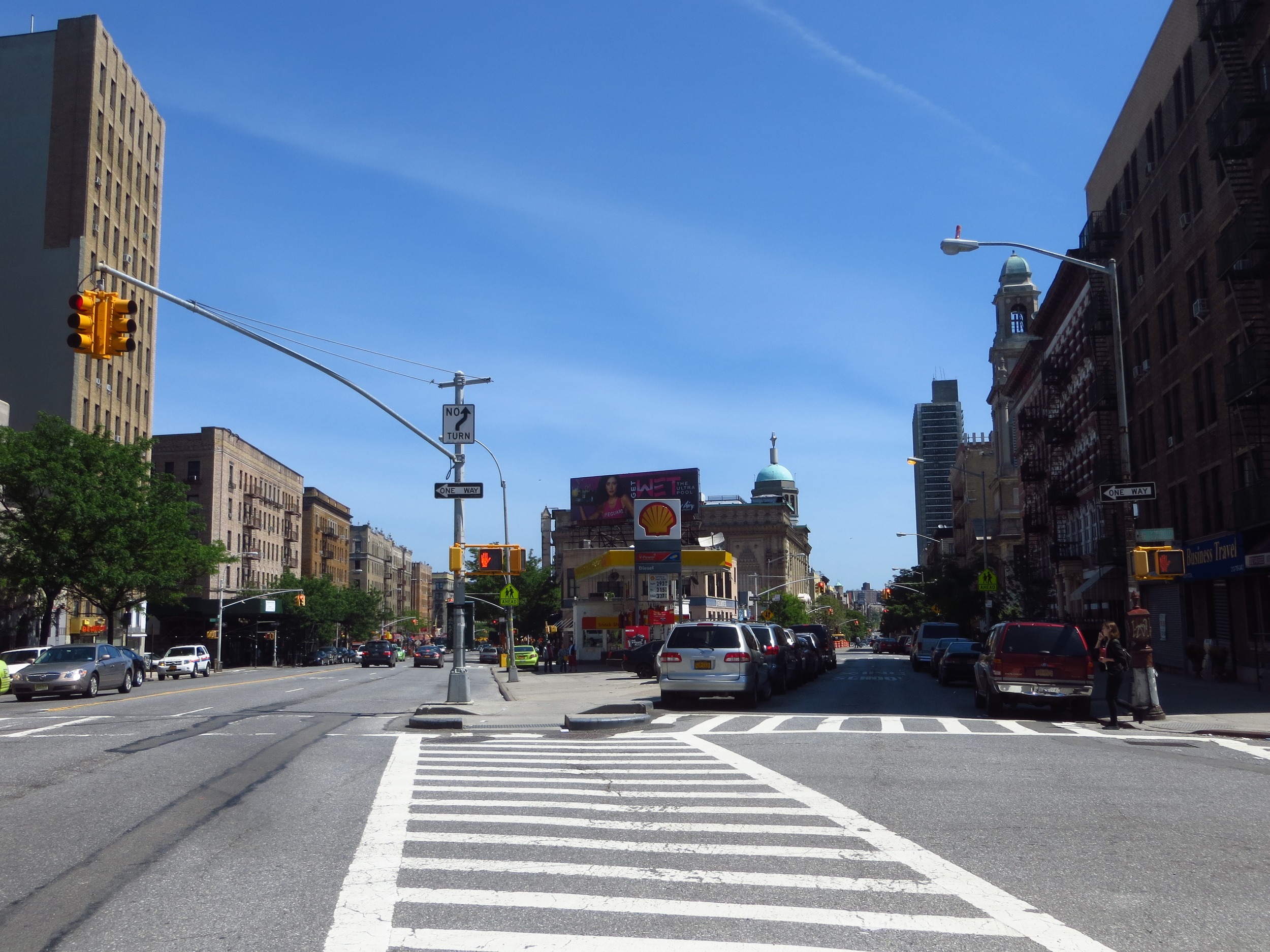
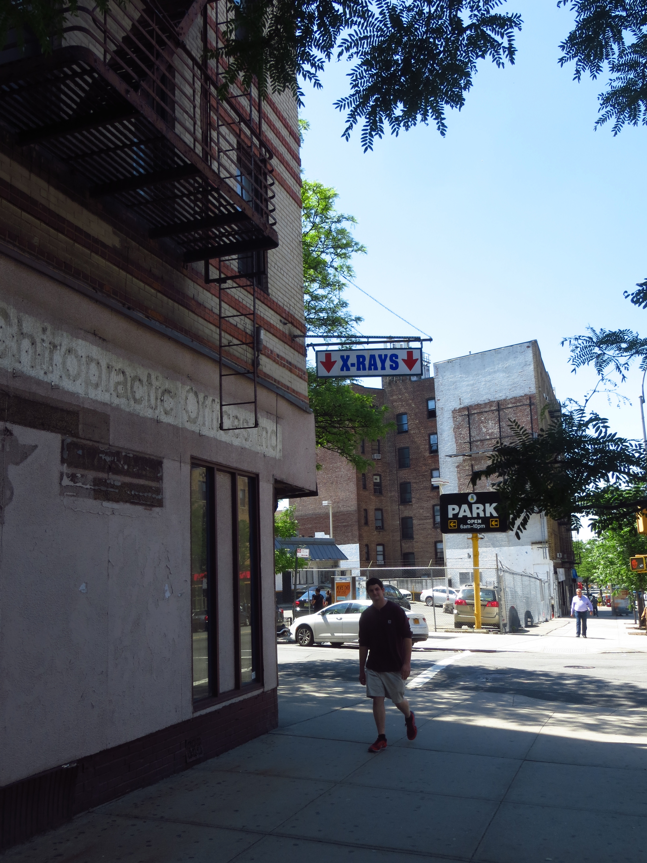
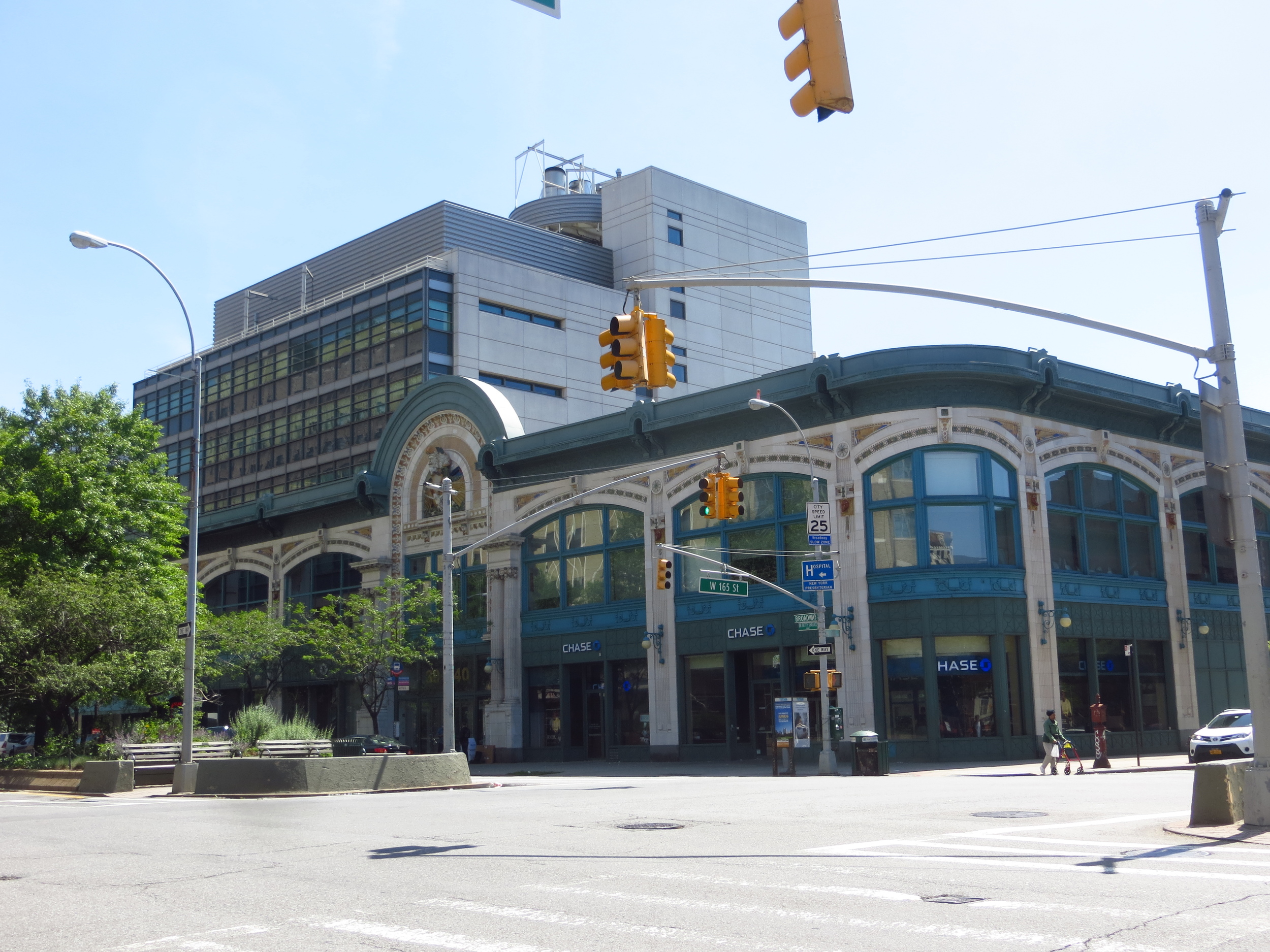
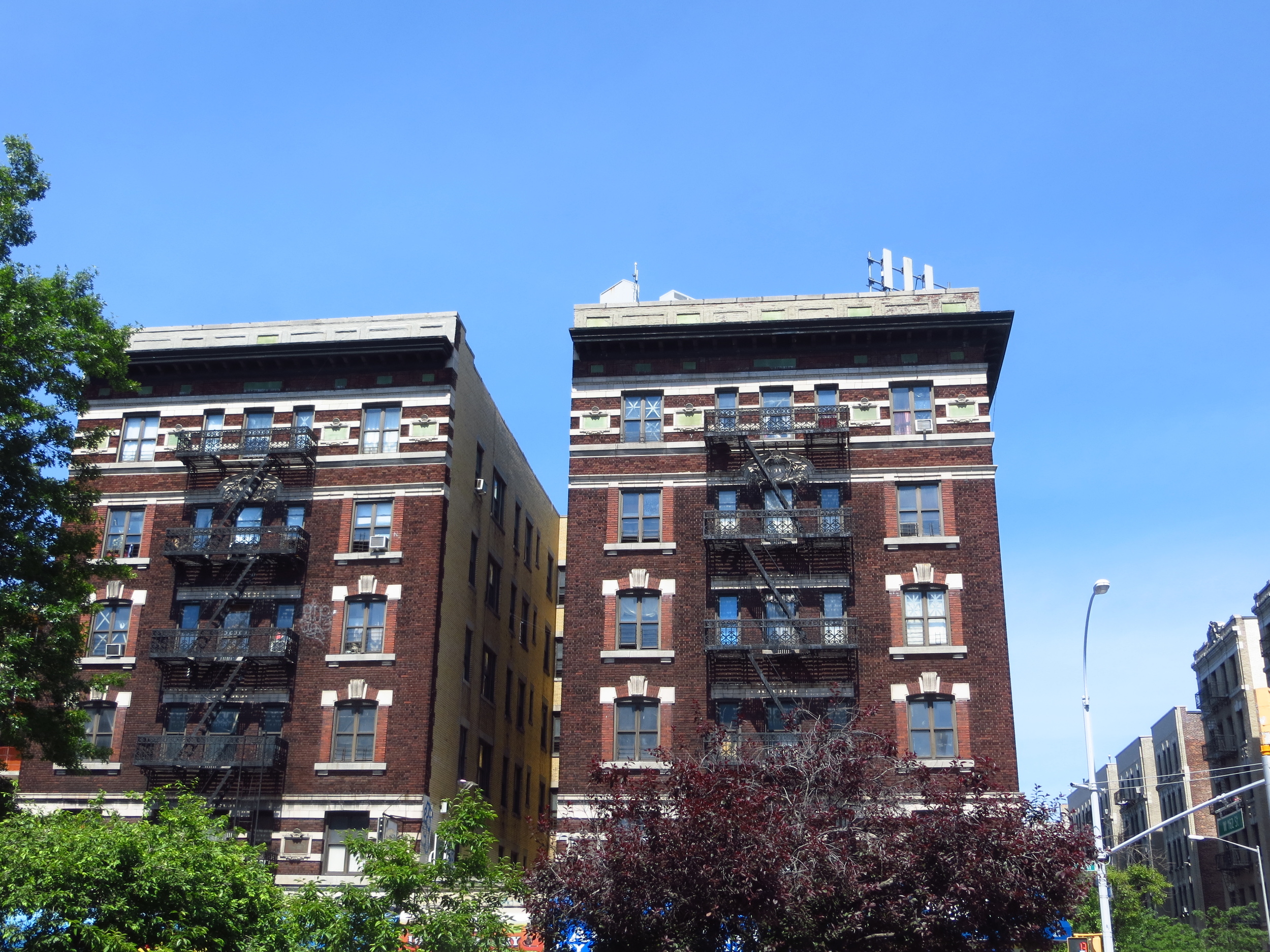
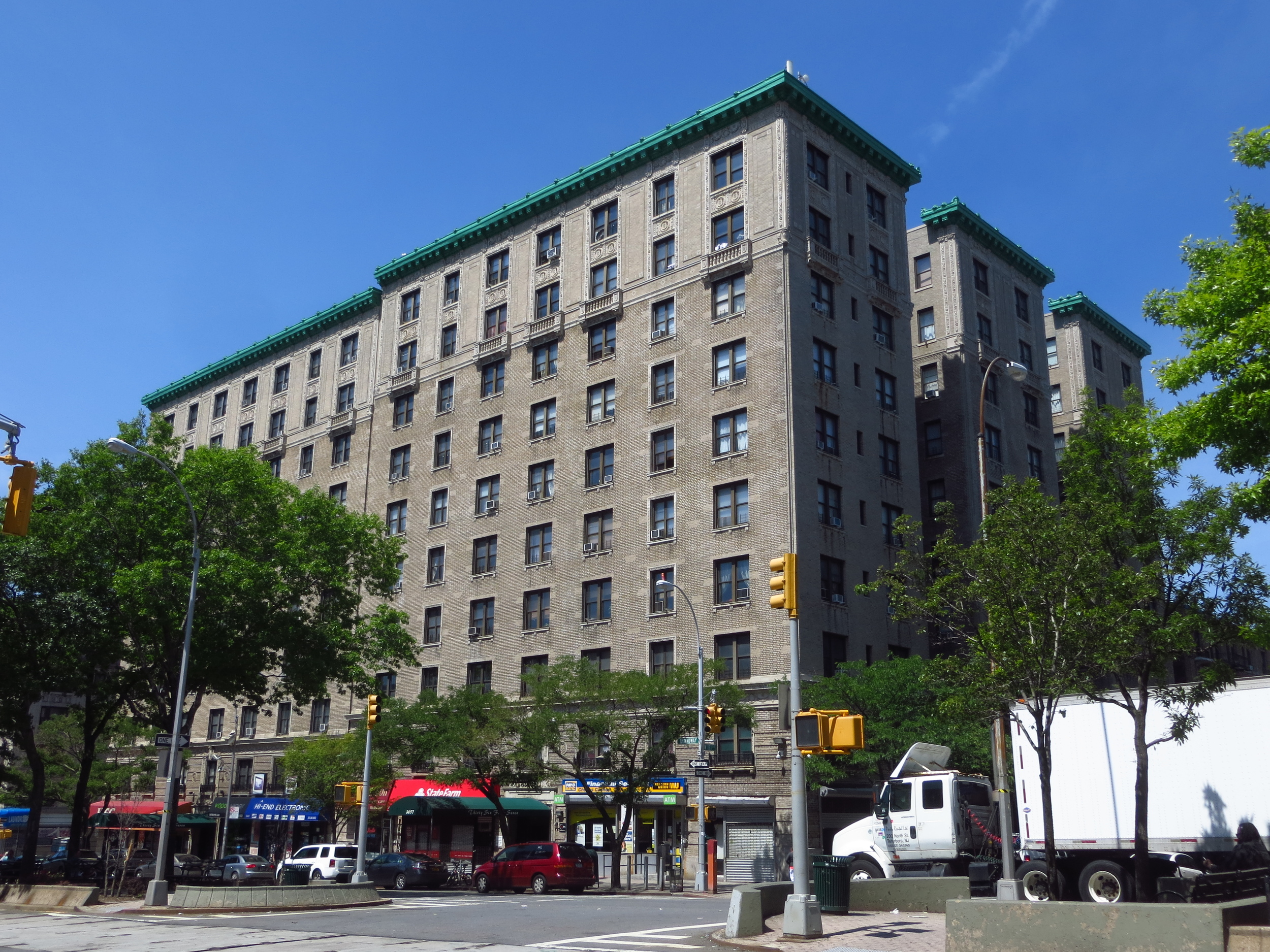
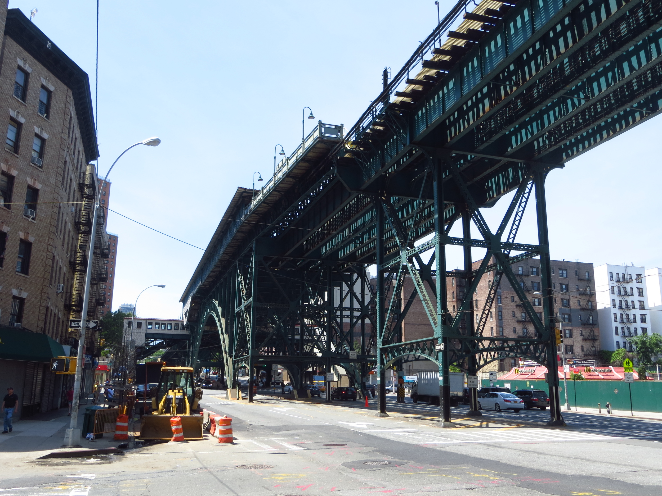
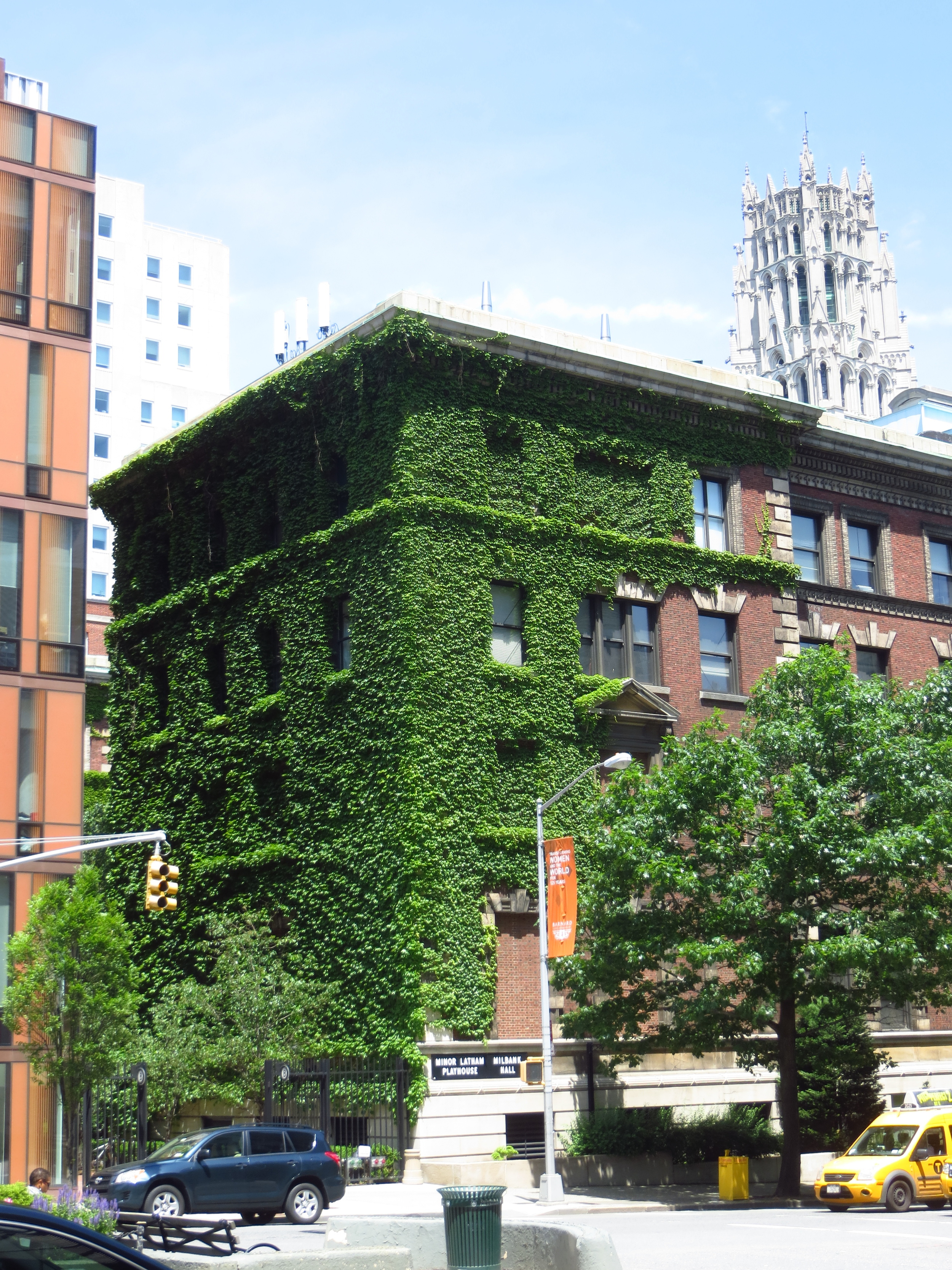
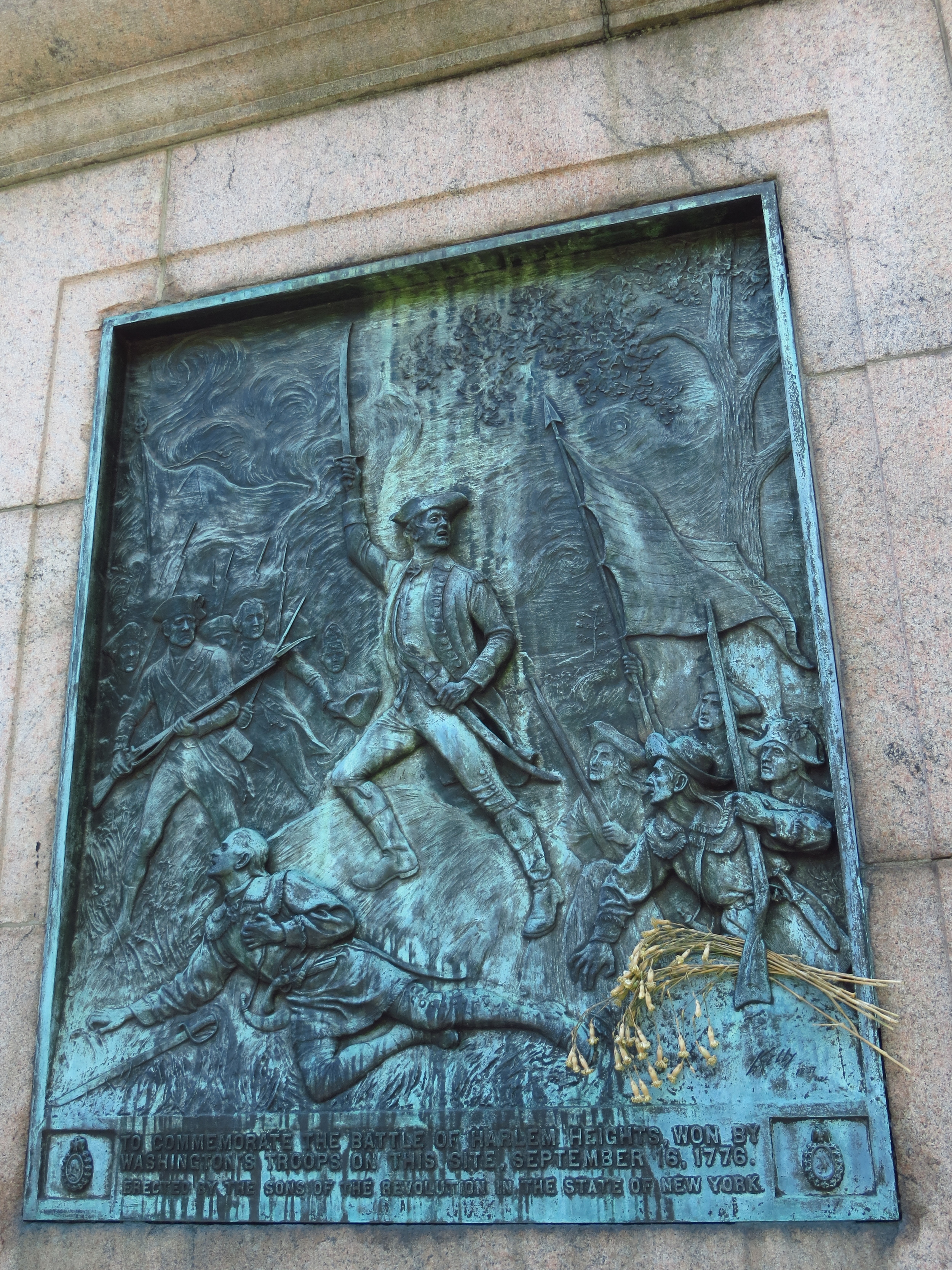
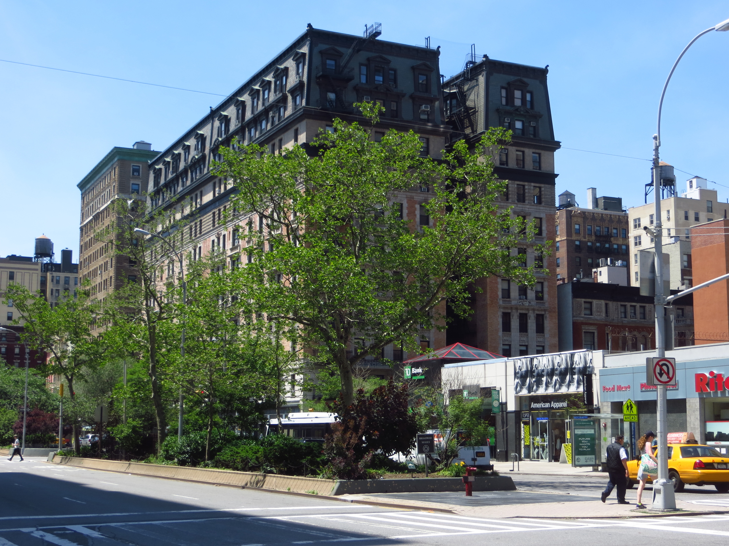
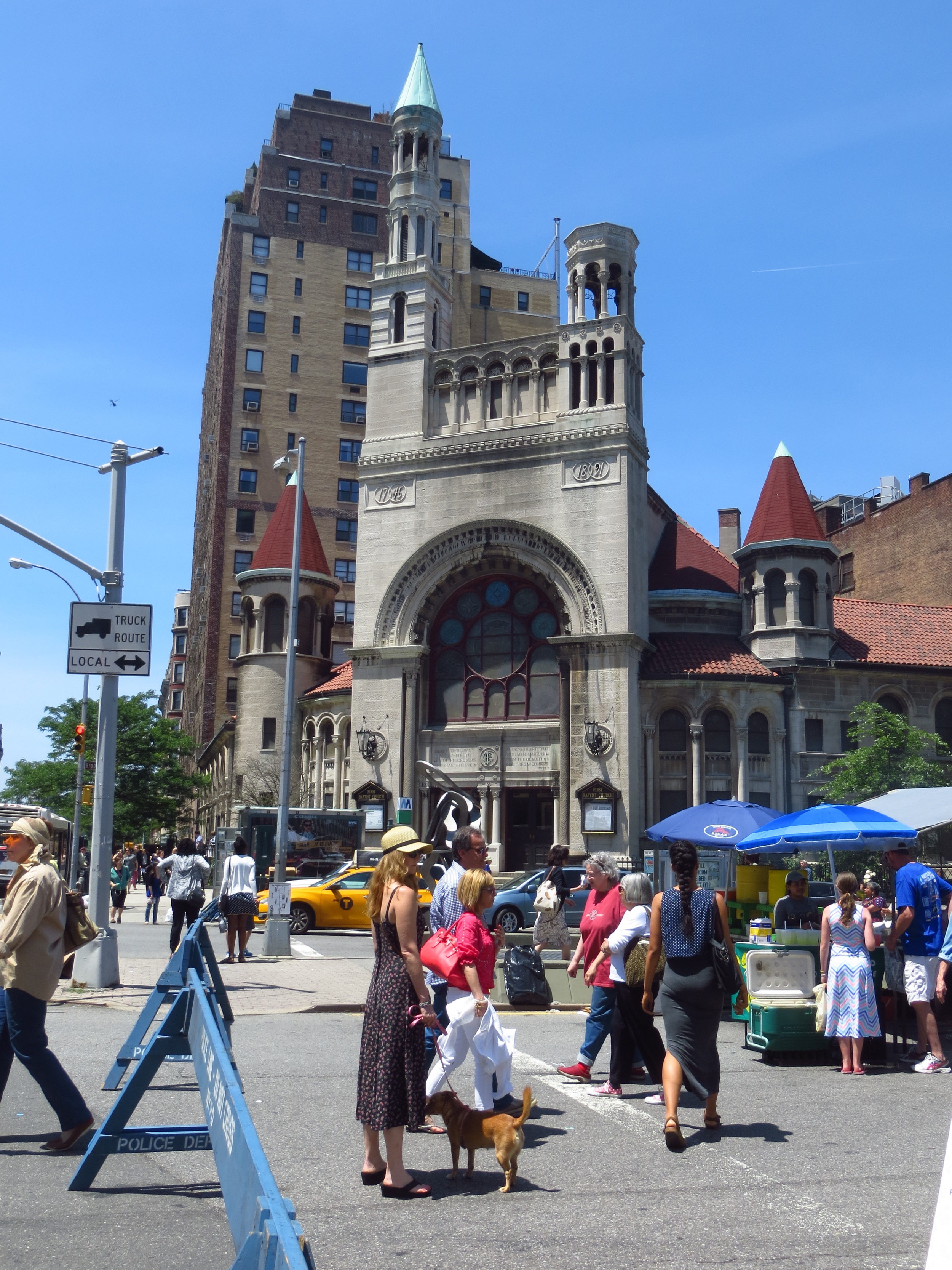
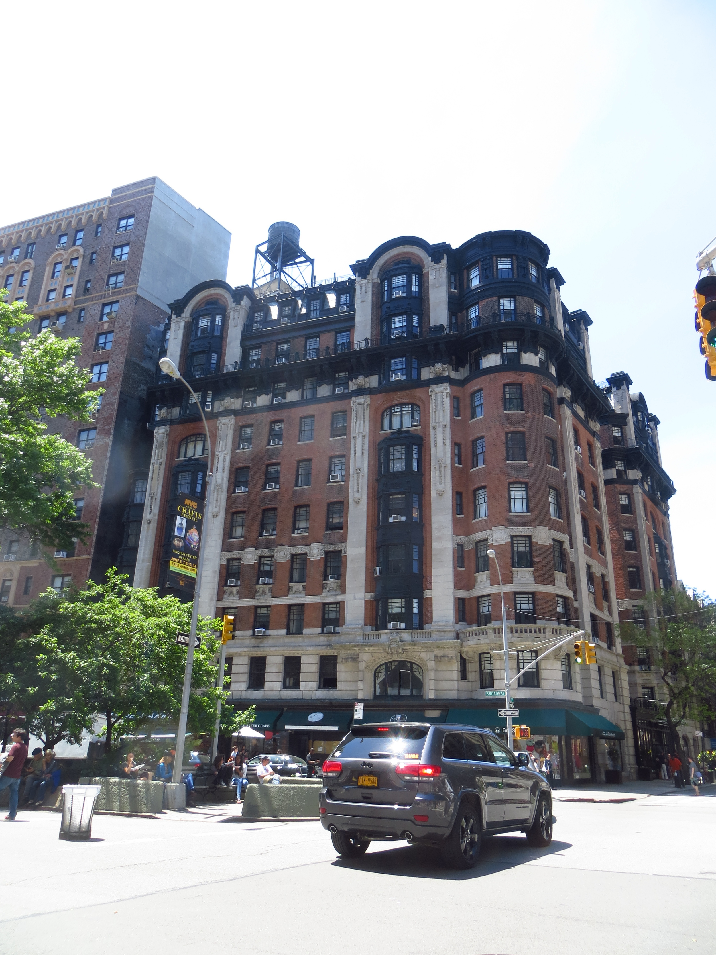
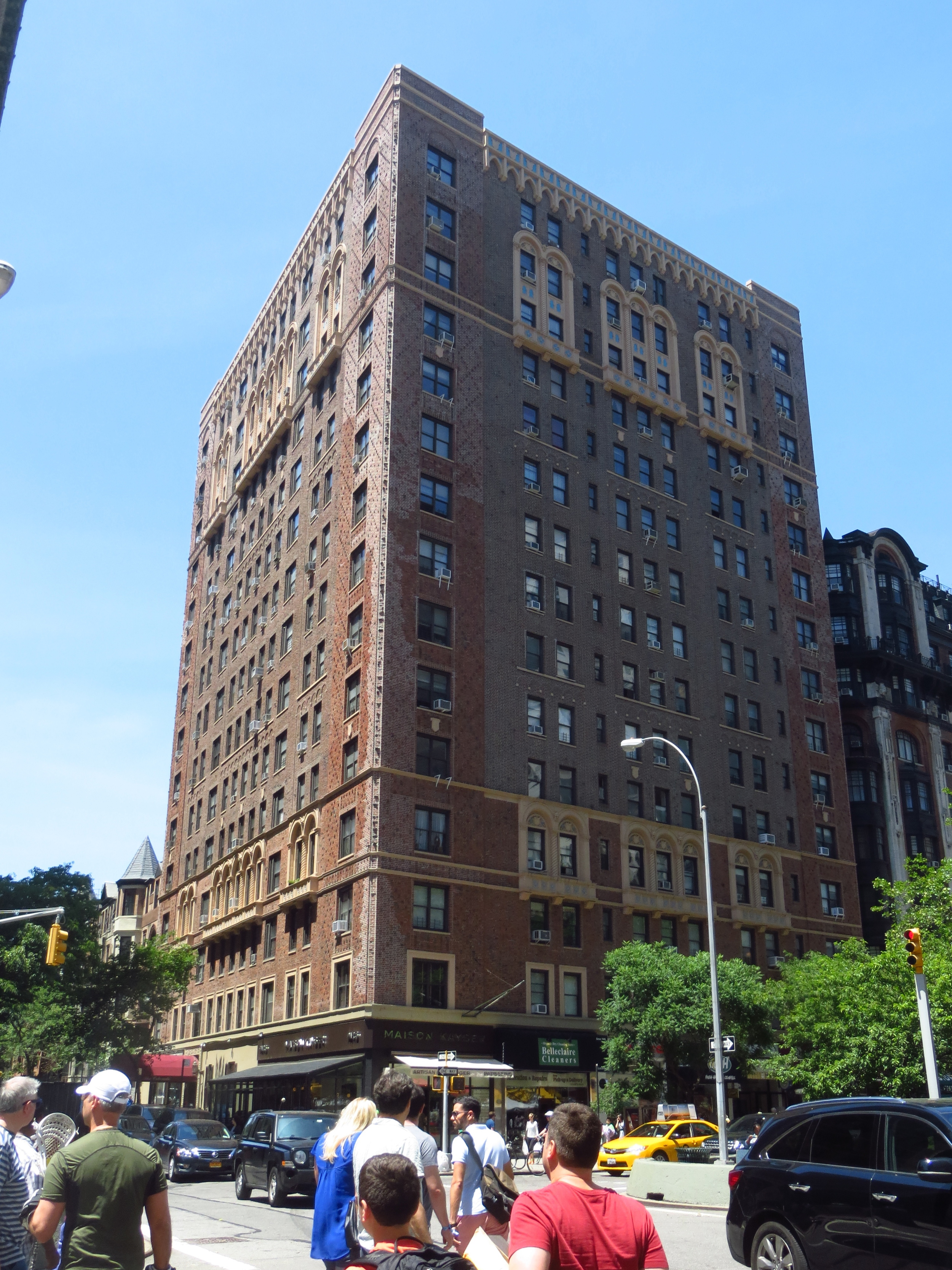
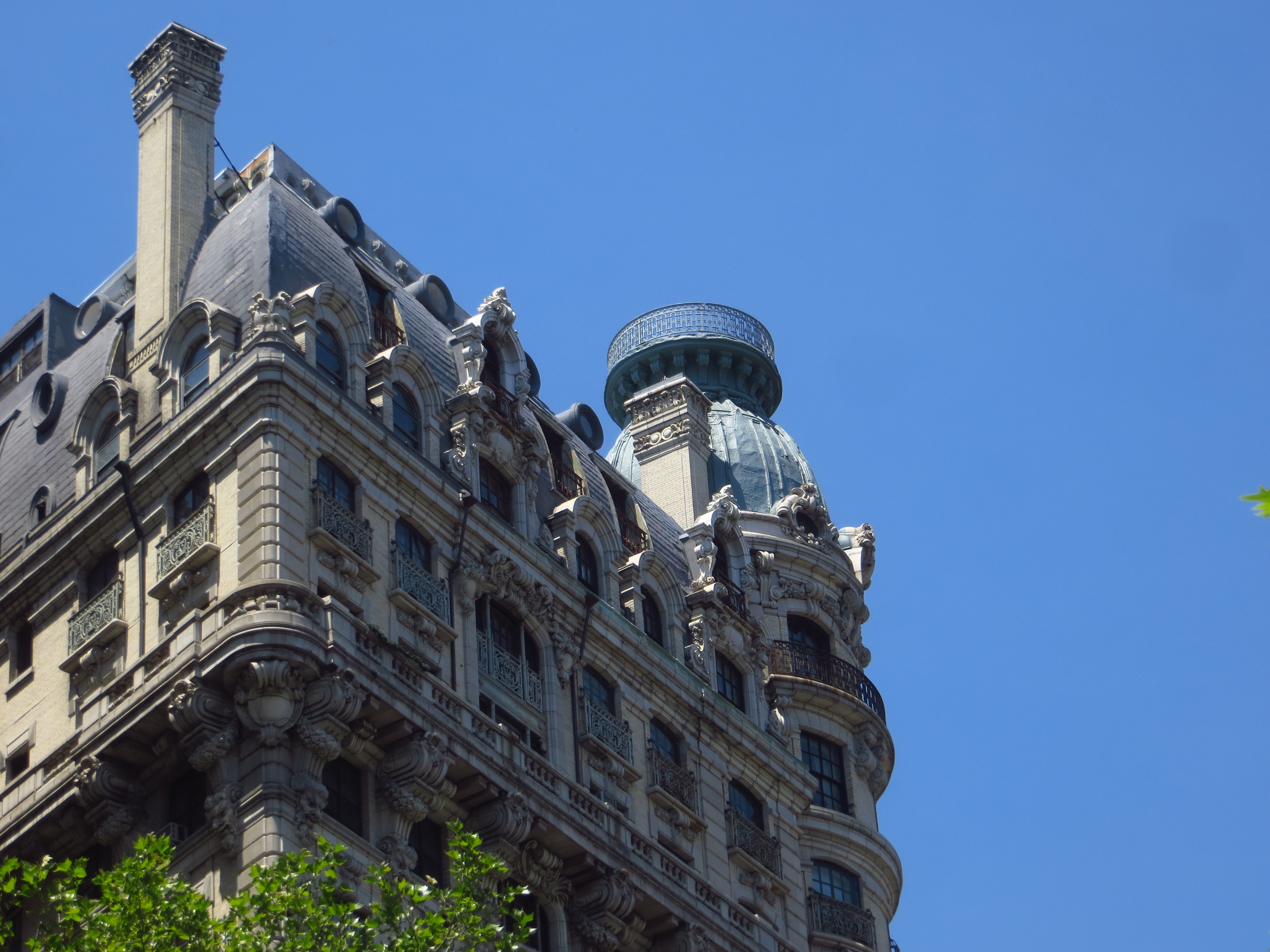
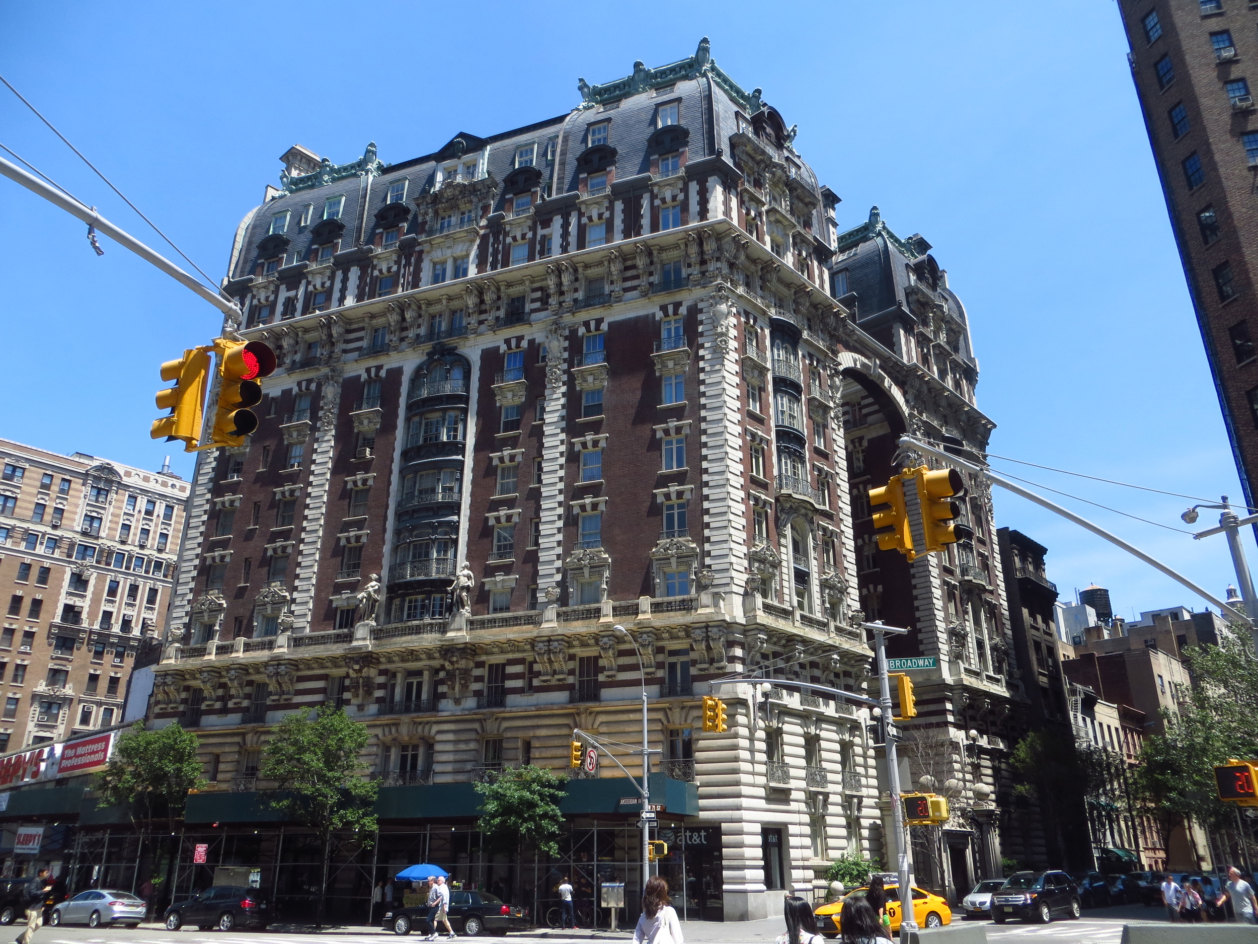
Beyond Midtown, Broadway cuts through the Upper West Side, creating additional, smaller squares where it crosses Columbus Ave., Amsterdam Ave., and West End Ave., and then continues up into Morningside Heights and past Columbia University.  From there it continues on through the high ground of the western edge of northern Manhattan (the neighborhoods of Hamilton Heights and Washington Heights), before dropping down into Inwood and passing out over Spuyten Duyvil Creek (an the waterway that connects the Hudon River and the Harlem River) on the Broadway Bridge into the Bronx.  

Technically, the neighborhood of Marble Hill, which lies just across Spuyten Duyvil, is a part of the borough of Manhattan (as are Ward's Island, Roosevelt Island, and Governor's Island), but my goal was to walk the island, not the borough, so those sidewalks will remain untraveled (by me).

That's all folks!

Epilogue:  I grew up in Oregon on a small blueberry farm.  One summer when I was in fifth or sixth grade, my parents gave me the job of weeding out all the blackberry vines that grew between the bushes.  Because I was young and not especially motivated, this ended up taking the better part of two months; and by the time I finished, the blackberries had already begun to grow back in the first rows.  There's probably a great metaphor there.

Thanks for reading.

Park Avenue

I walked Park Avenue today, about 9.5 miles.

Today's walk

Today's walk

Park Avenue runs through the east side of Manhattan from 138th St. in Harlem down to Union Square.  South of Union Square, the street becomes 4th Avenue (briefly), then Bowery, St. James Pl., Pearl St., and finally Water St. when it ends at Battery Park.

The entire length of Park Avenue above Bowery was originally known as 4th Avenue (if you look at a map, you'll see that it occupies the space that would have logically been named 4th).  The New York and Harlem Railroad, the passenger and freight rail line that connected New York to the once separate villages of Yorkville and Harlem, was laid down along 4th Avenue in the 1830's.  To maintain a level grade, a cut was dug through Murray Hill, over which a grate was laid and grass planted - this small park would later give the avenue its name.

The tracks were completely sunk below street-level and covered by Park Avenue in 1870 with the construction of Grand Central Depot, a train station that connected New York's three major rail lines.  It was only three decades before Grand Central Depot was no longer unable to accommodate New York's growing rail traffic, and in 1903 it was demolished to make way for Grand Central Terminal (completed in 1913).  Grand Central Terminal stands in the middle of Park Avenue occupying the space between 45th St. and 42nd St., and with 44 platforms is the largest railroad station in the world.

Park Avenue is popularly known as a home of the extremely rich, and this reputation is well earned.  On the Upper East Side, Park Avenue is lined with very expensive, very exclusive, apartment buildings.  One of these, 740 Park Avenue (located at Park and 72nd), is widely considered to be New York's wealthiest address (in 2012 it boasted the nation's' highest concentration of billionaires) - today it houses a Koch brother, hedge fund titans, and various heirs and heiresses.

From a famously wealthy neighborhood on the UES, Park Avenue becomes Bowery below 4th St., and transitions into a famously poor neighborhood.  Bowery (not Bowery St. or Bowery Ave., just Bowery) is one of the oldest roads in Manhattan; in the 1600's it led to several several small farms (which the Dutch called "bouwerijs"), including the one owned by Peter Stuyvesant.  The street and its eponymous neighborhood enjoyed a period of respectability as the city limits moved north in the early 1800's - for a while a Bowery address was on a par to a 5th Avenue address.  However, by the middle of the century the neighborhood was best known for its brothels, beer halls and flop houses, and the street marked the eastern boundary of the Five Points slum.  The Bowery maintained its skid row reputation well into the mid to late 1900's and was famously  home to the punk rock venue CBGB (which ironically stood for Country, Bluegrass and Blues).  The old Bowery died in 2006 when CBGB closed and was replaced by a John Varvatos store.

After this (and a small clean-up on the east side) there's only one walk left!

The Highline
(Bonus Material!)

After walking Park Avenue, I walked back up the West Side of Manhattan and strolled the length of the High Line.  The High Line is a park built on top of an old and out of use elevated railway line that runs along 10th Avenue through Chelsea (from Gansevoort St. to 30th St.).  The railway was built in the 1930's after street-level trains along 10th Avenue were involved in so many accidents that it became known as "Death Avenue".  The elevated railway, a spur of the New York Connecting Railroad's West Side Line, went through the middle of the blocks, as opposed to over the avenue, to allow trains to load and unload directly into the factories and warehouses along its route.

The growth of interstate trucking in the 1960's combined with the decline of Manhattan's industrial economy caused the line to fall out of use.  Some sections were demolished and by 1980 traffic had ceased completely.  The tracks stood unused for many years and eventually became overgrown with trees and other plant life.  Total demolition was all but a forgone conclusion, but in the late 1990's many Chelsea-ites began advocating for the line's preservation and repurposing into a public space.  Private and public funds totaling $150 million were raised by 2005, and in 2006 construction on the High Line park began.  

The first section stretching from Gansevoort St. to 20th St. opened in 2009, followed by a second section running from 20th St. to 30th St. in 2011.  The finished product is a partially paved, partially exposed walkway over the old railway bed with native trees, flowers, and grasses growing along the sides. In addition to the neat aerial views of nearby buildings, the skyline, and the Hudson, rotating art installations provide some extra color along the route.

The third and final section which will run from 30th St. to 34th St. is currently under construction and partially open to the public. 

12th Avenue

I walked 12th Avenue today - almost 13 miles.

Today's walk

Today's walk

This was one of my favorite walks - 12th Avenue (Riverside Dr. above 59th St., West St. below Gansevoort St.) runs down the west side of Manhattan along the Hudson.  It's lined with parks almost its entire length and is just plain pleasant.  

It starts around 181st St., just north of the George Washington Bridge in Washington Heights and is lined with mansions and grand apartment buildings on one side and Riverside Park on the other for a few miles down through the Upper West Side.  This walk was in early May, so everything was in bloom and super scenic.

Below the UWS 12th Avenue passes along the remnants of old piers and warehouses (many of which have been renovated and re-purposed, but not all), recalling New York's days as the world's largest shipping hub.  Some of the piers have been rebuilt and now hold parks out over the river.  They're pretty cool.

At its base in lower Manhattan it passes by the World Trade Center and 9/11 Memorial and ends in Battery Park.

Here are the pictures:

7th Avenue

I walked 7th Avenue today, adding another 7 miles to the total.

Today's walk

Today's walk

7th Avenue is known as Adam Clayton Powell Jr. ("ACPJ") Boulevard between 110th St. and 155th St. above Central Park.  ACPJ began his career as a minister in Harlem, where he succeeded his father as Pastor of Abyssinian Baptist Church.  A few years later he was elected to the New York City Council (the first African-American to do so), and in 1944 he became the first African-American Congressman from New York.  Unfortunately, he also was also a little crooked.  He once threatened to accuse Martin Luther King Jr. of being involved in a homosexual relationship for political ends and was criticized for serious misappropriation of funds (i.e. international trips with young female staffers).  He was replaced by Charlie Rangel in 1970, and there have been no issues since.

South of Central Park, 7th Avenue runs through Midtown straight into the gaping maw of hell - Times Square.  Formerly Longacre Square, Times Square is the area formed by the intersection of Broadway and 7th Avenue at 42nd street.  It was renamed Times Square in 1903 after the New York Times relocated its headquarters to the intersection (the Times began the New Years Eve celebrations as well).  

Hating Times Square isn't something New Yorkers do out of snobbery, it's objectively bad - approaching it on foot produces a type of dread that can only be described in German: "UnausweichlicheKlebrigEinkaufsviertelAlptraum".  New York is full of stunning architecture, world-class museums, amazing food, a host of unique entertainment options, and more American history than you can shake a stick at.  Yet people still insist on wasting time in this place.  If you think about it, at its core Times Square is really just five crowded blocks of pop-up ads and stripmall stores.  Seriously, go into Google Streetview and plop yourself down on 7th Avenue between 45th St. and 44th St.; you'll see a Toys R Us, Foot Locker, Sunglass Hut, Swatch store, Aeropostale, Levi's store, and a Bubba Gump Shrimp Company.  Why did you come to New York to shop at the same stores you shop at at home?  (Only more crowded and with a higher electric bill!)

Lexington Avenue

Today I walked down Lexington Avenue, about 8 miles.

Today's walk

Today's walk

Lexington Avenue is the analog to Madison Avenue, running north/south from 131st St. to 21st St. a half block east of Park Avenue.  Like Madison Avenue, Lexington Avenue was created by real estate developer Samuel Ruggles in 1832 as part of a plan to increase the value of the land that would become Gramercy Park and Union Square (two of his projects).

Lexington Avenue terminates at 21st St. at Gramercy Park, one of only two private parks in the City.  Membership in Gramercy Park is restricted to residents of the surrounding buildings, who pay an annual fee of $7,500 to receive a key to the park - around 400 people currently have keys.  In the center of the park is a statue of the famous 19th-century Shakespearean actor Edwin Booth, who today is better known for his relationship to his younger brother, John Wilkes.  (John was also a famous actor - it would be like if Casey Affleck shot the President today.)

Below Gramercy Park, the street becomes Irving Place (named for Ruggles' friend Washington Irving) through to 14th St.  Below that I picked up Lafayette / Centre St. through SoHo down to City Hall Park.  New York's City Hall was built in 1811 and is the oldest city hall in the country still in use.