Chelsea, Flatiron/NoMad and Kips Bay
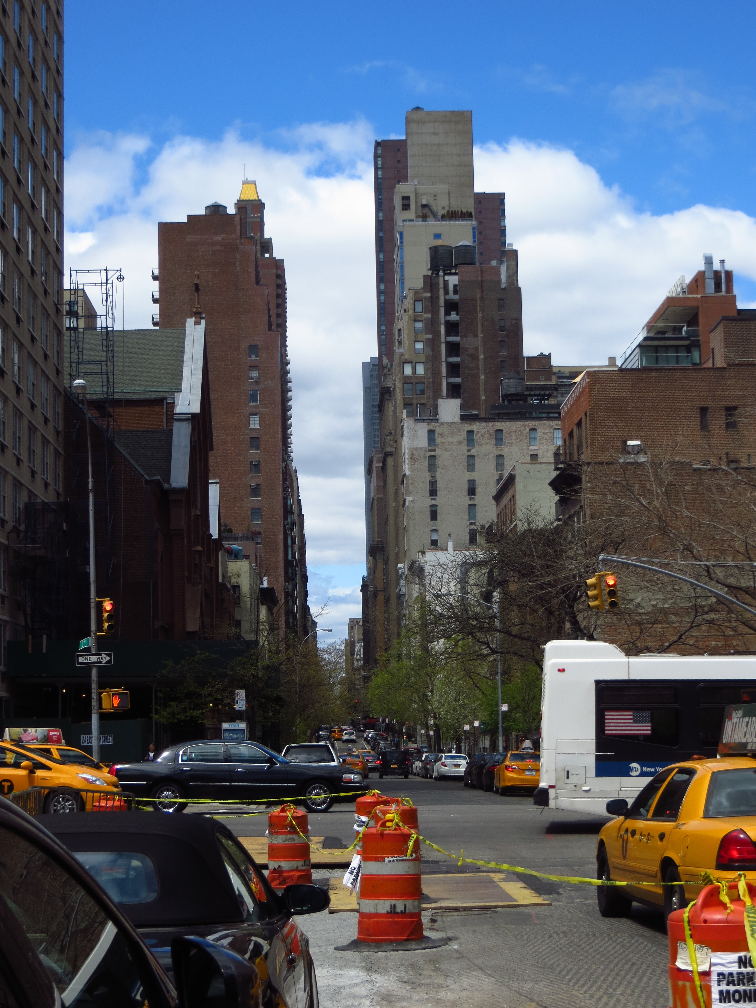
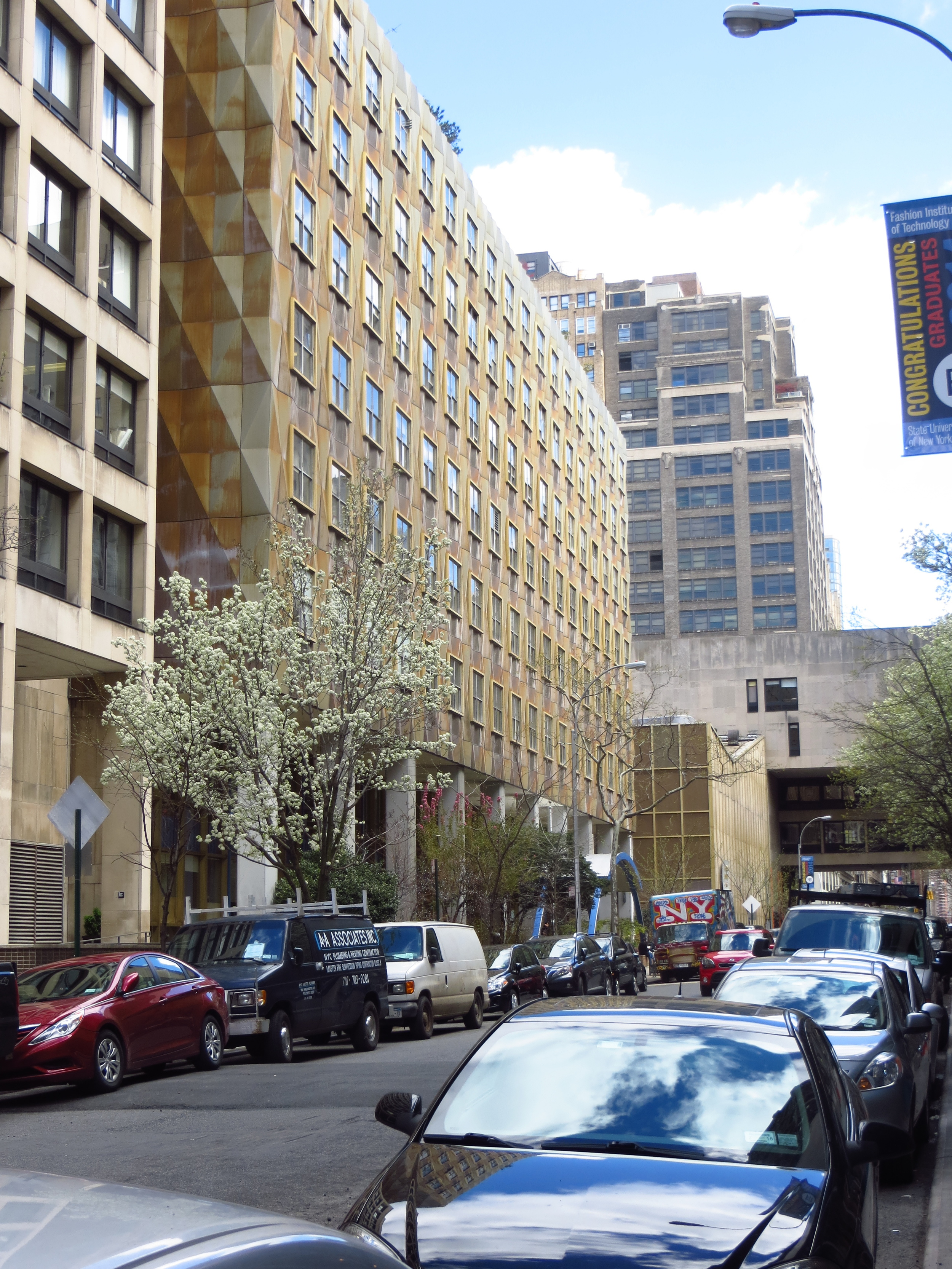
Today's walk was 29th St. through 24th St.; the 6 blocks to the north of my April 18th walk. After a weekend of birthday debauchery, I needed to stretch my legs and this took me about 12 miles through north Chelsea, the Flatiron and NoMad ("North of Madison Square Park") and Kips Bay.

Today's walk
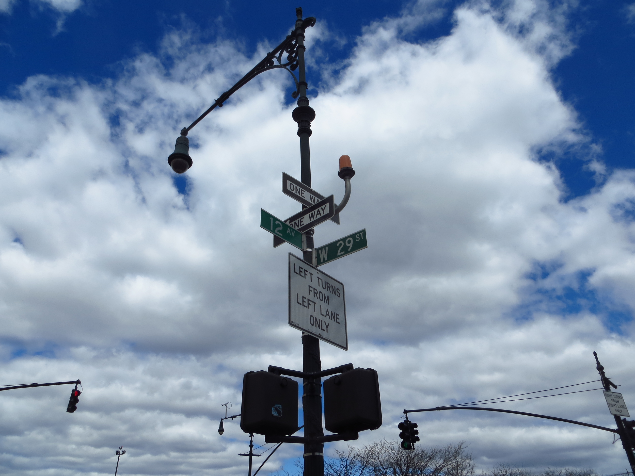
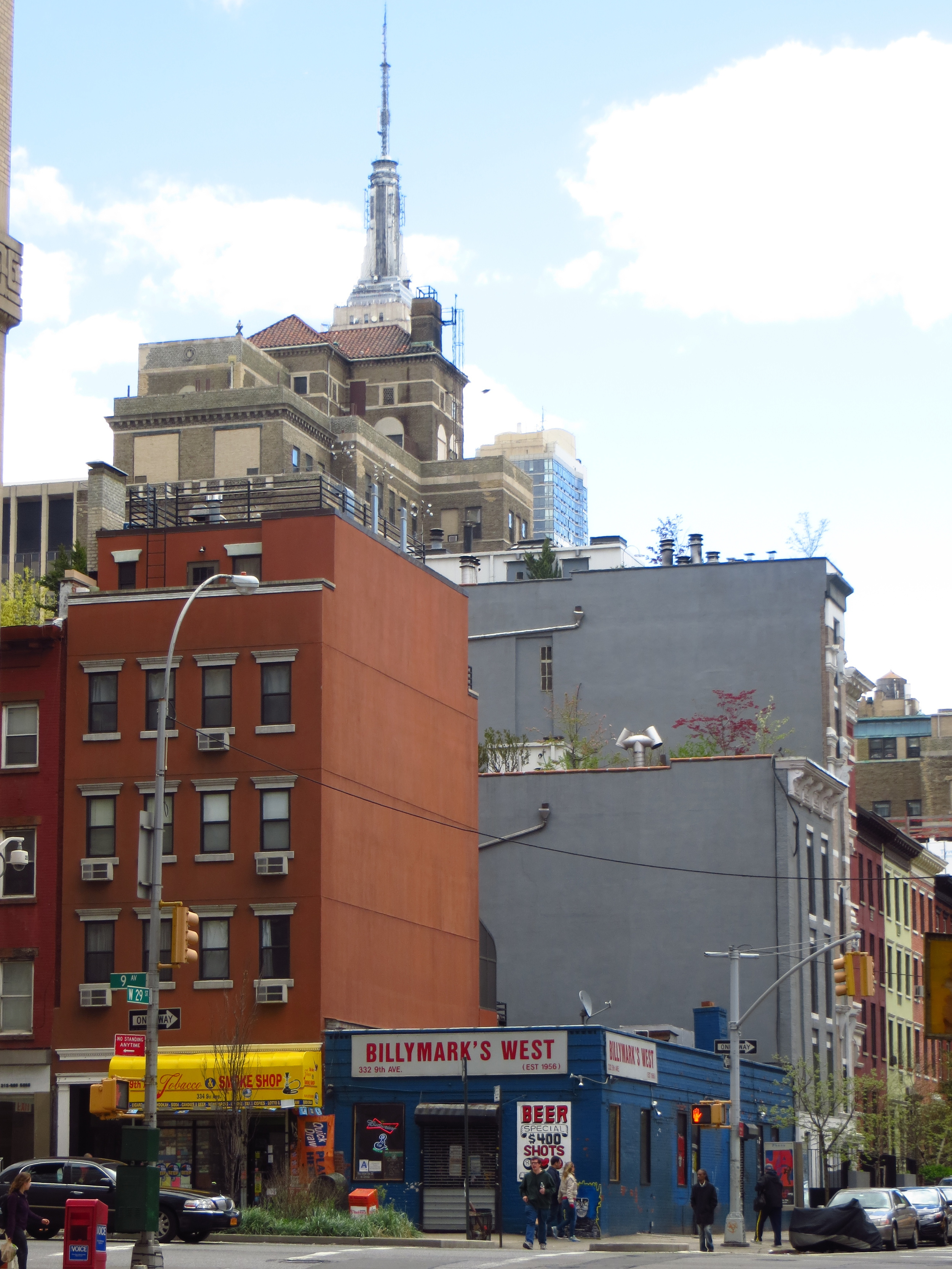
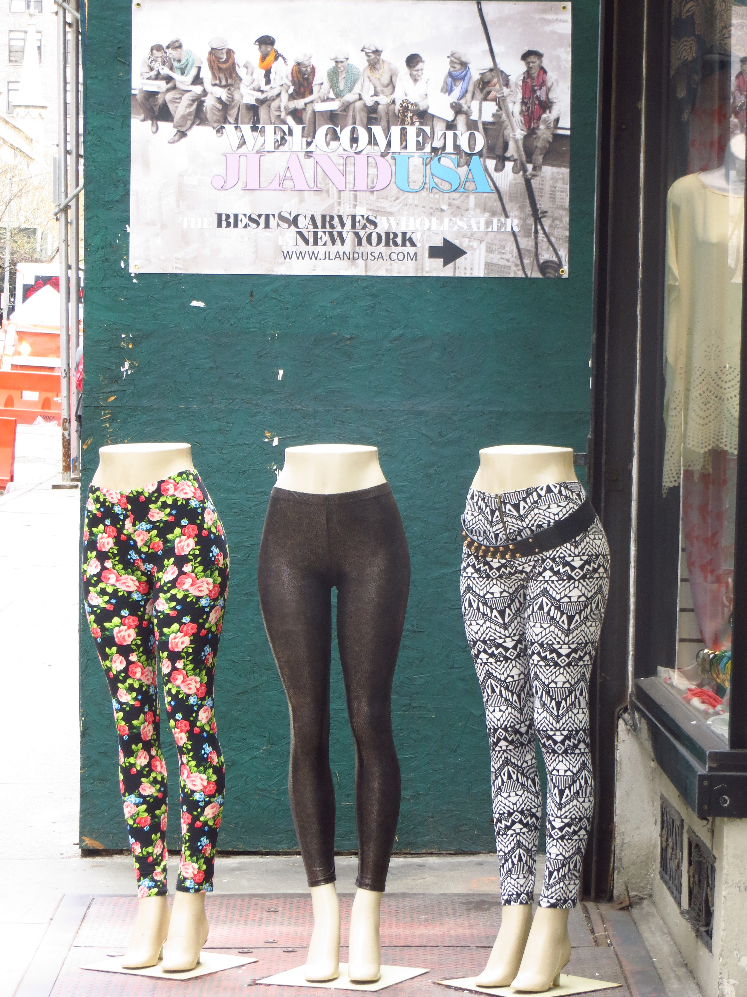
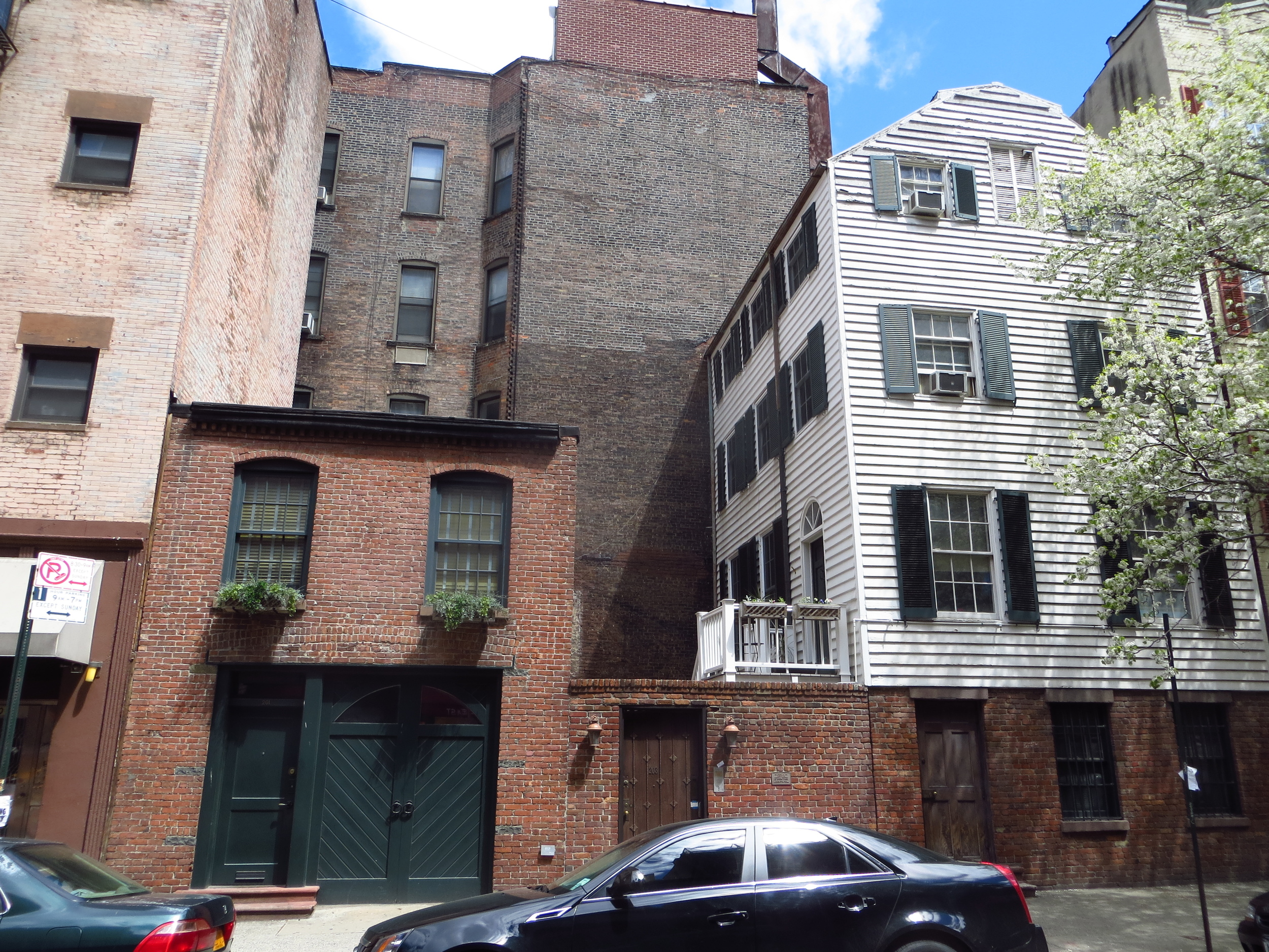
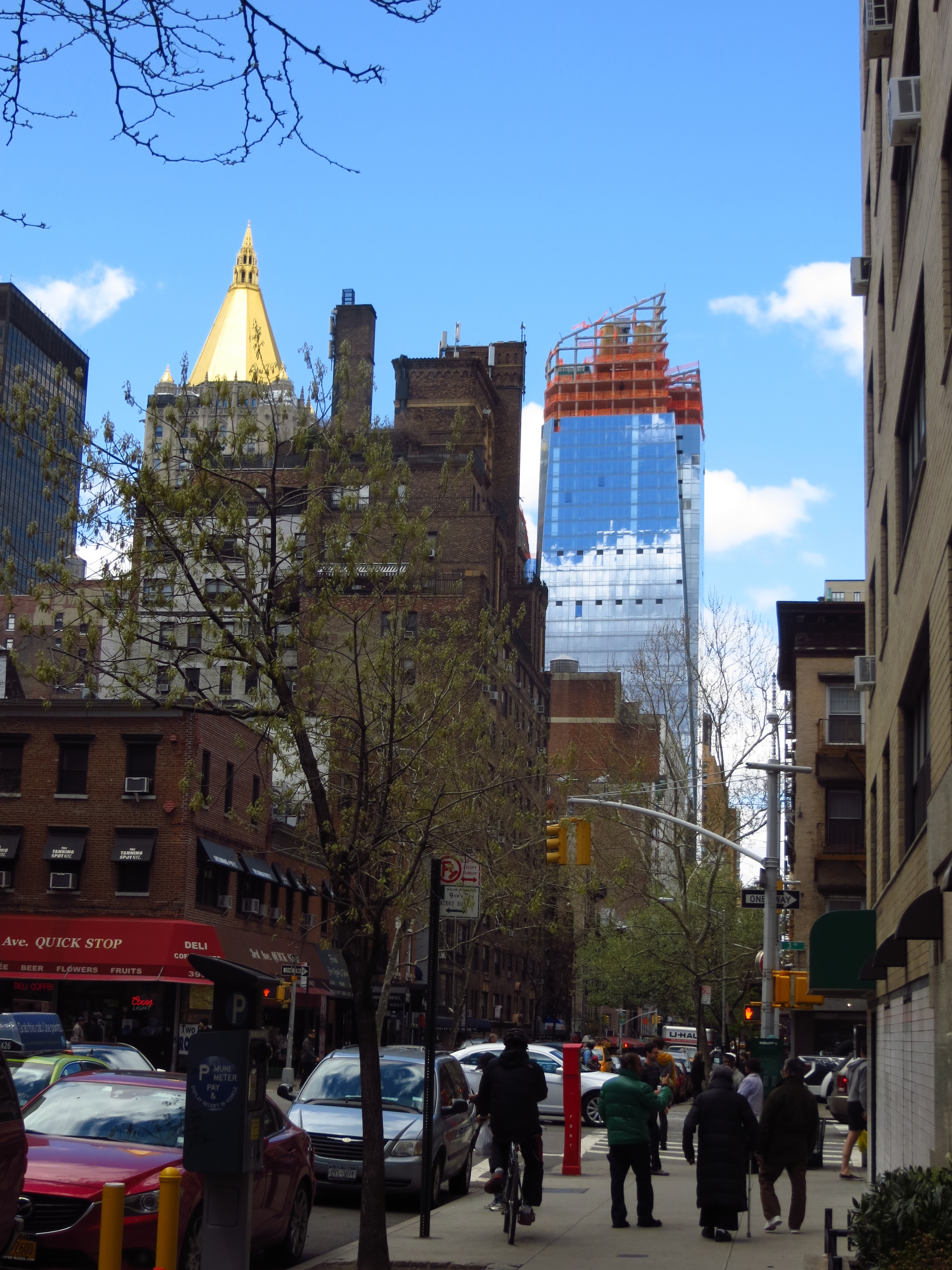
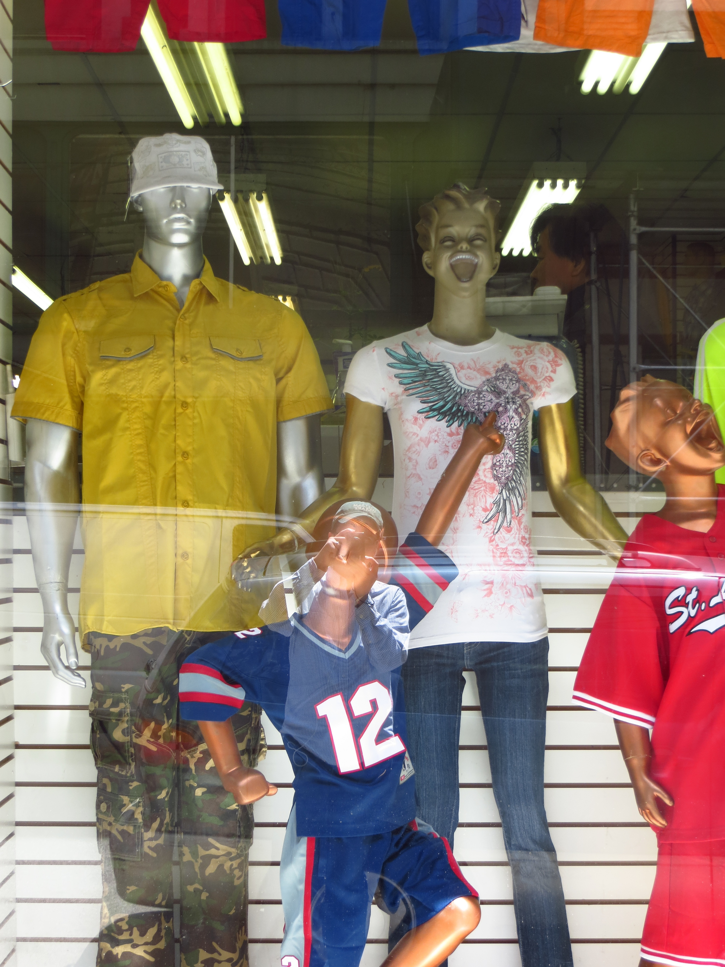
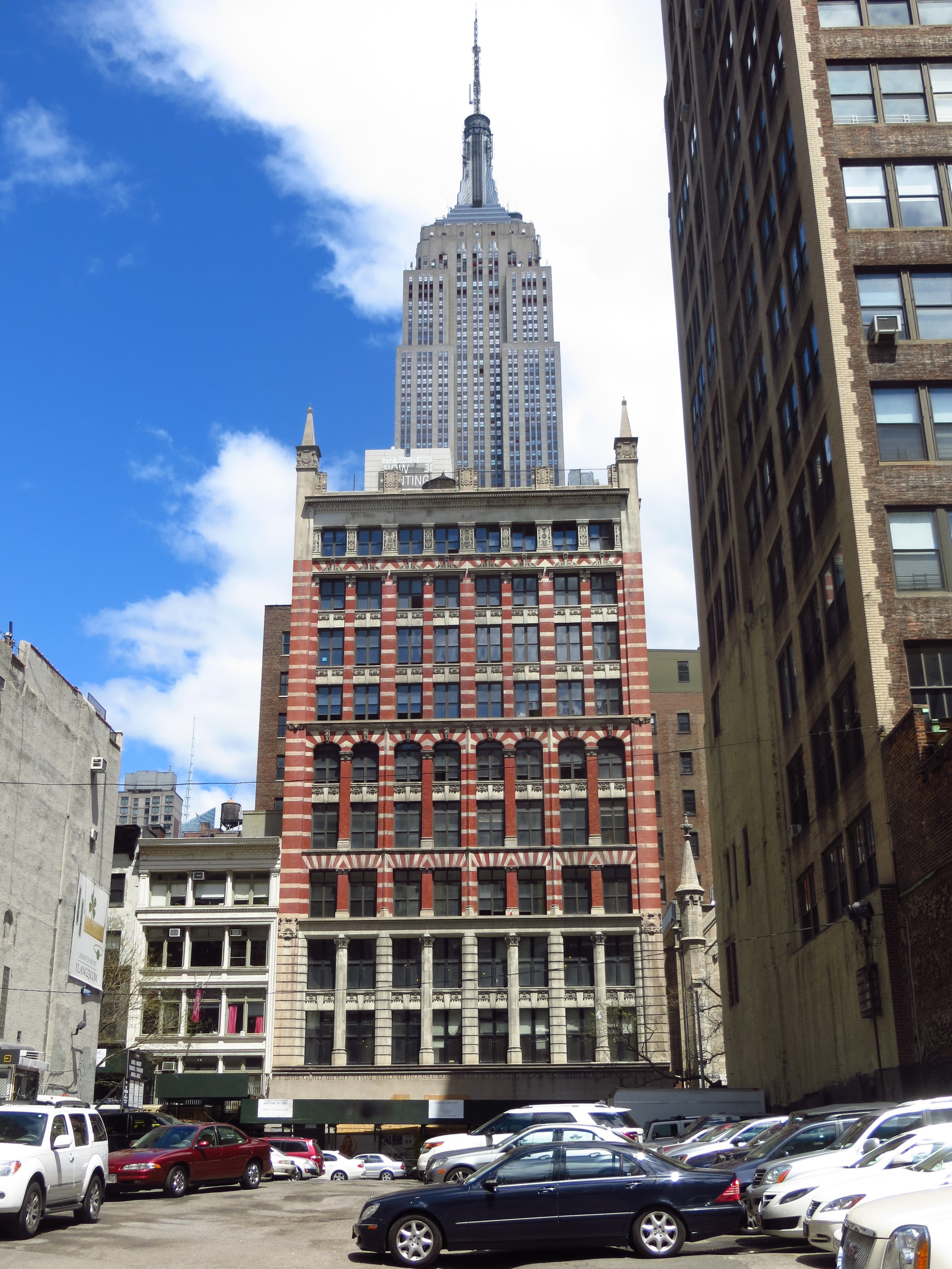
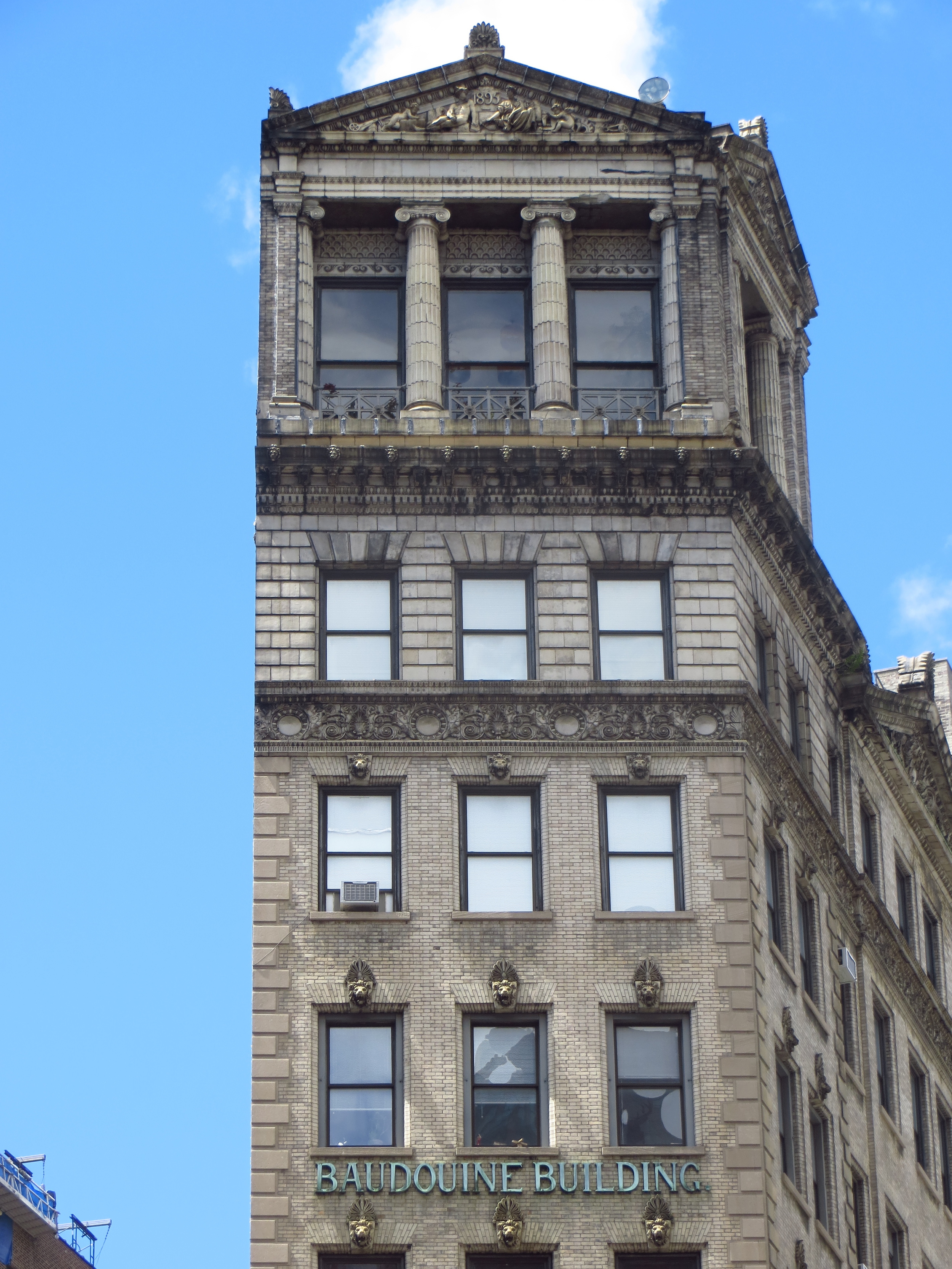
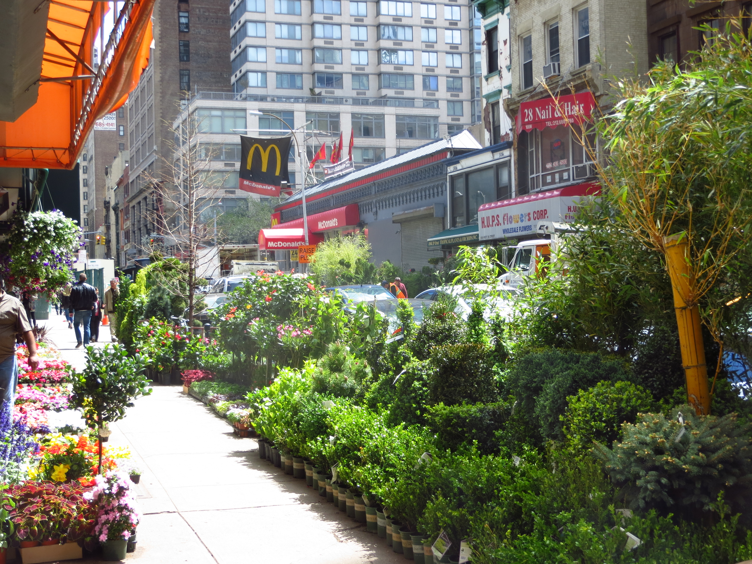
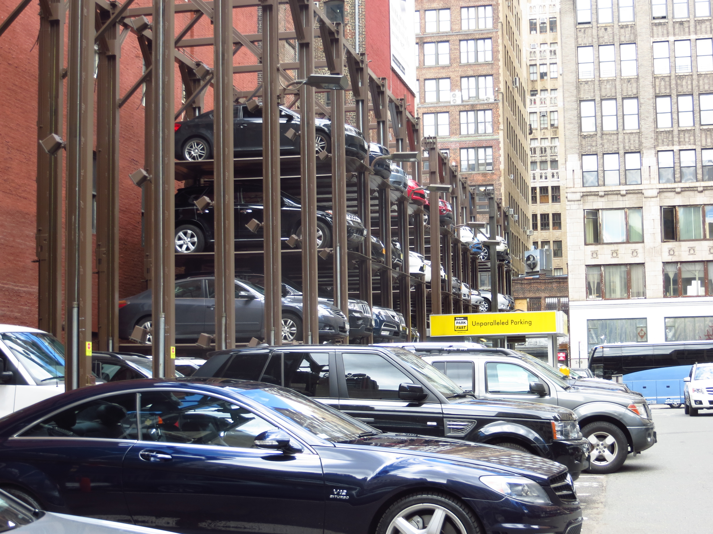
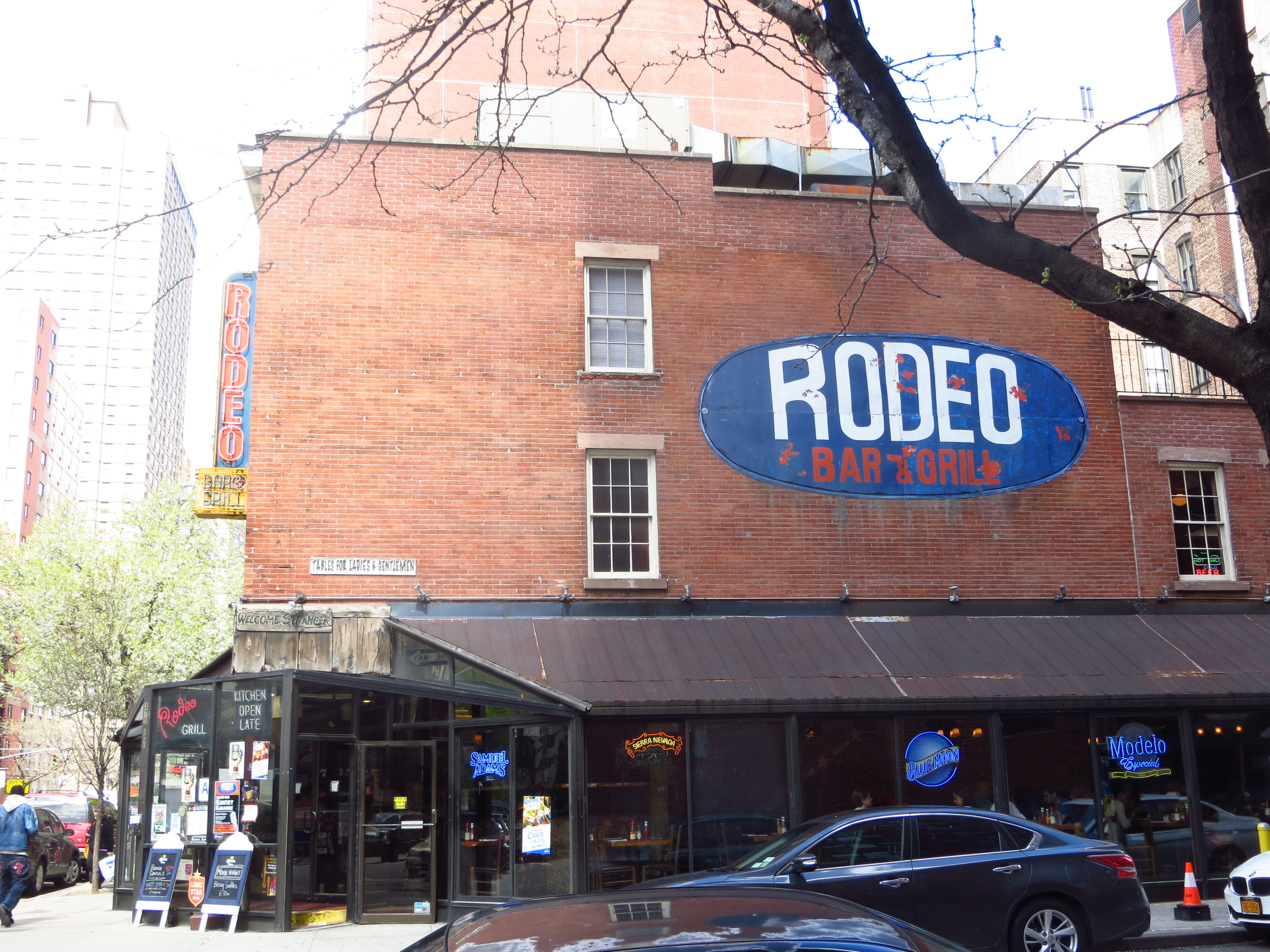
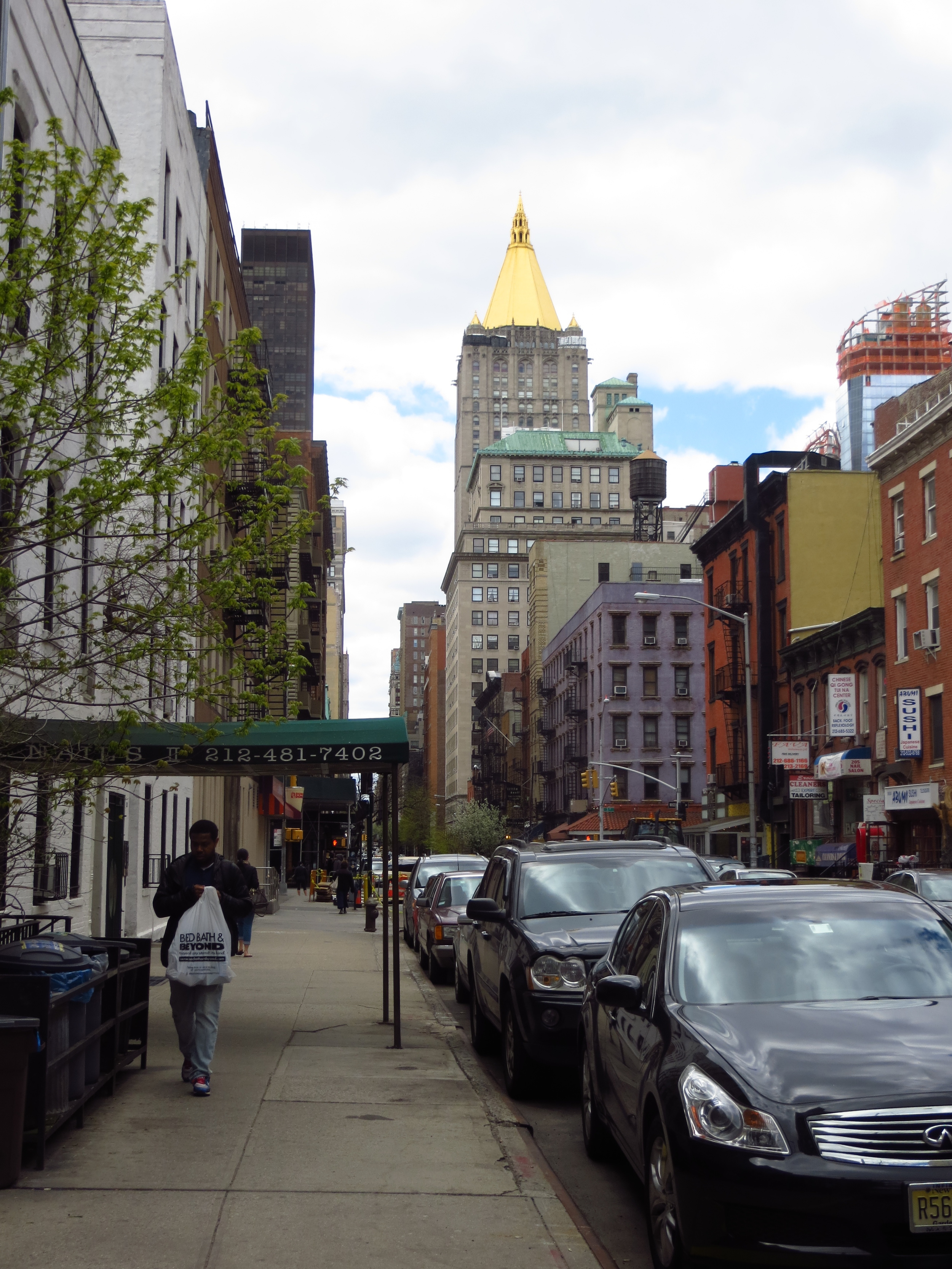
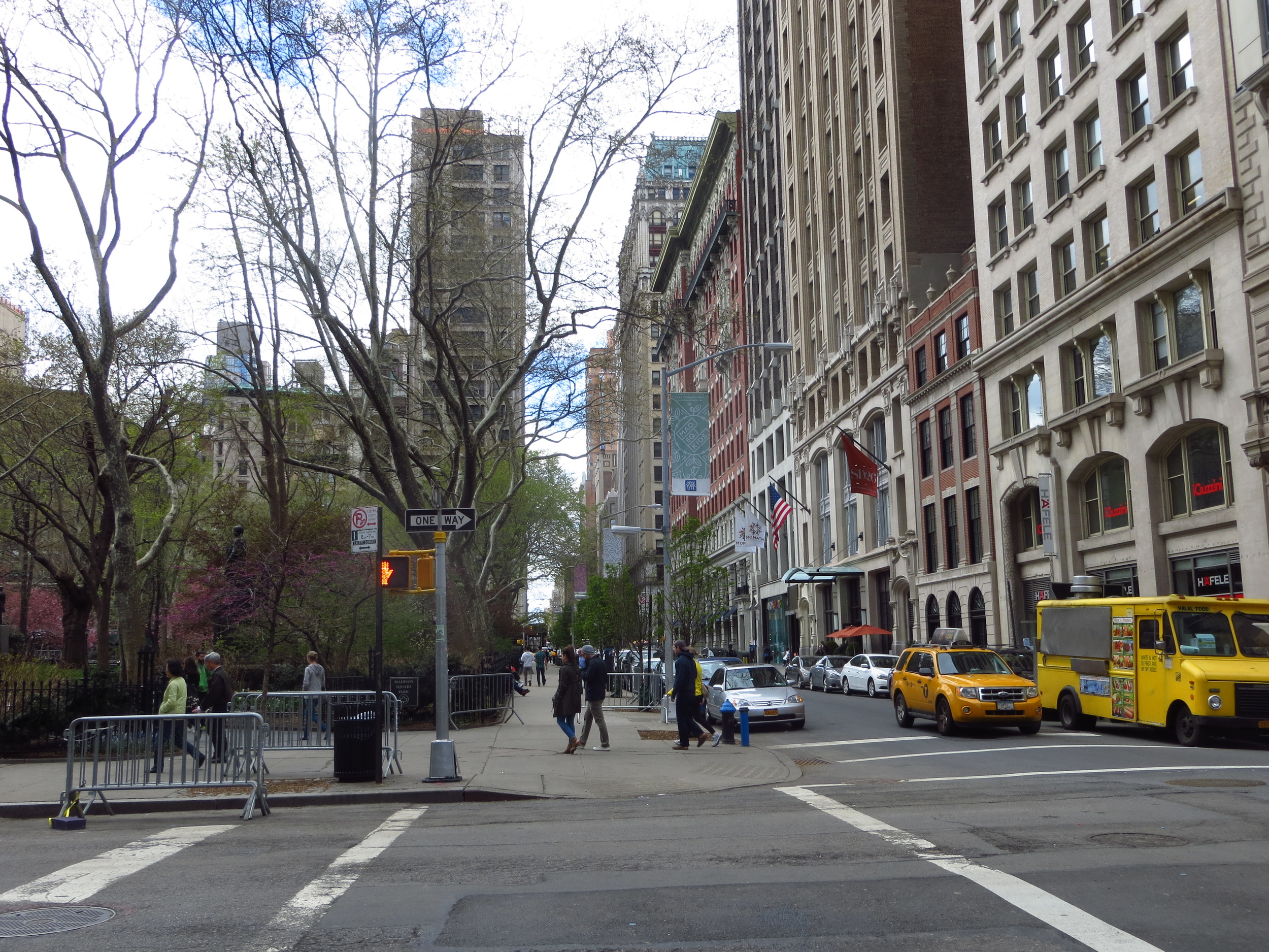
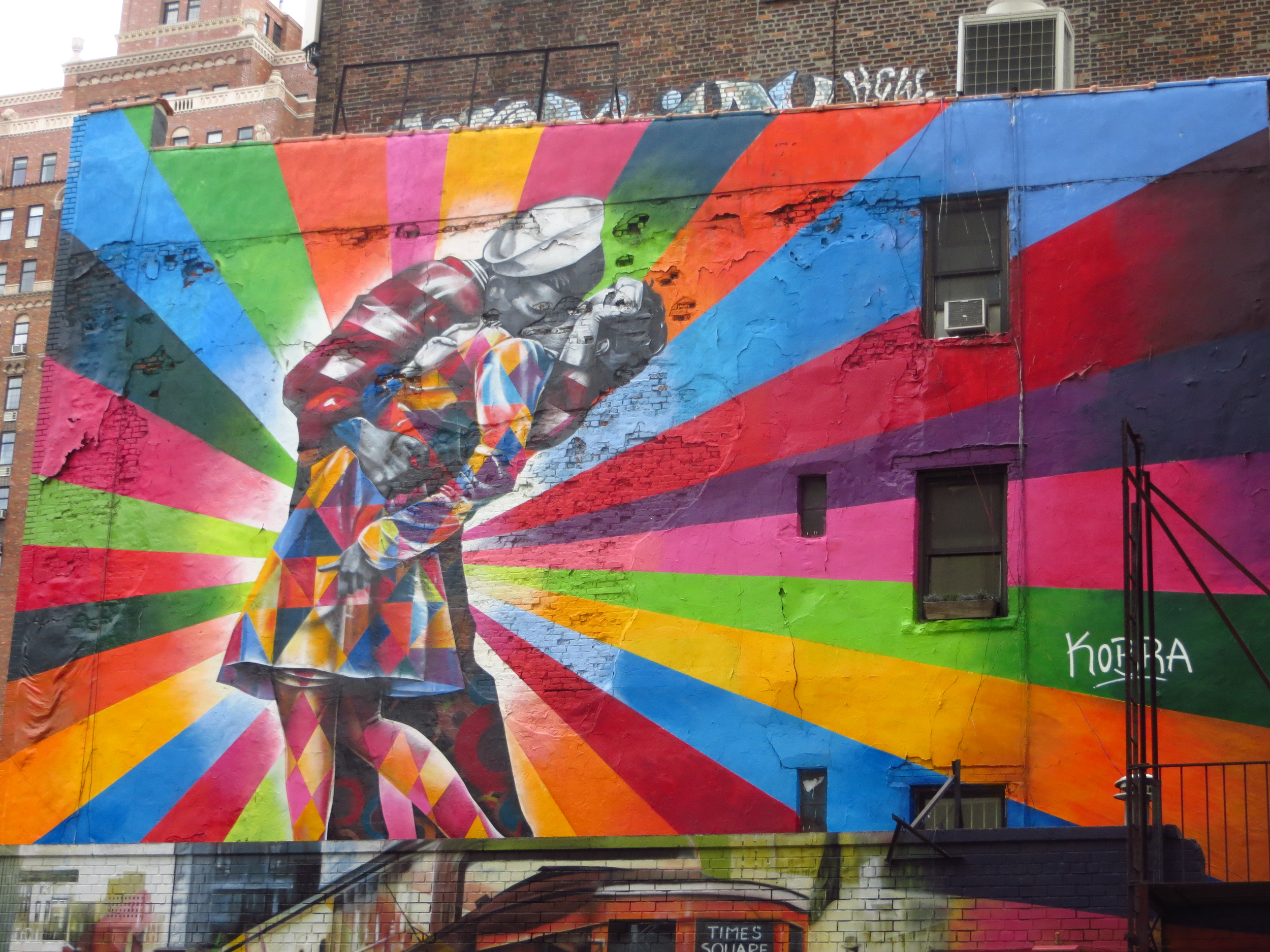
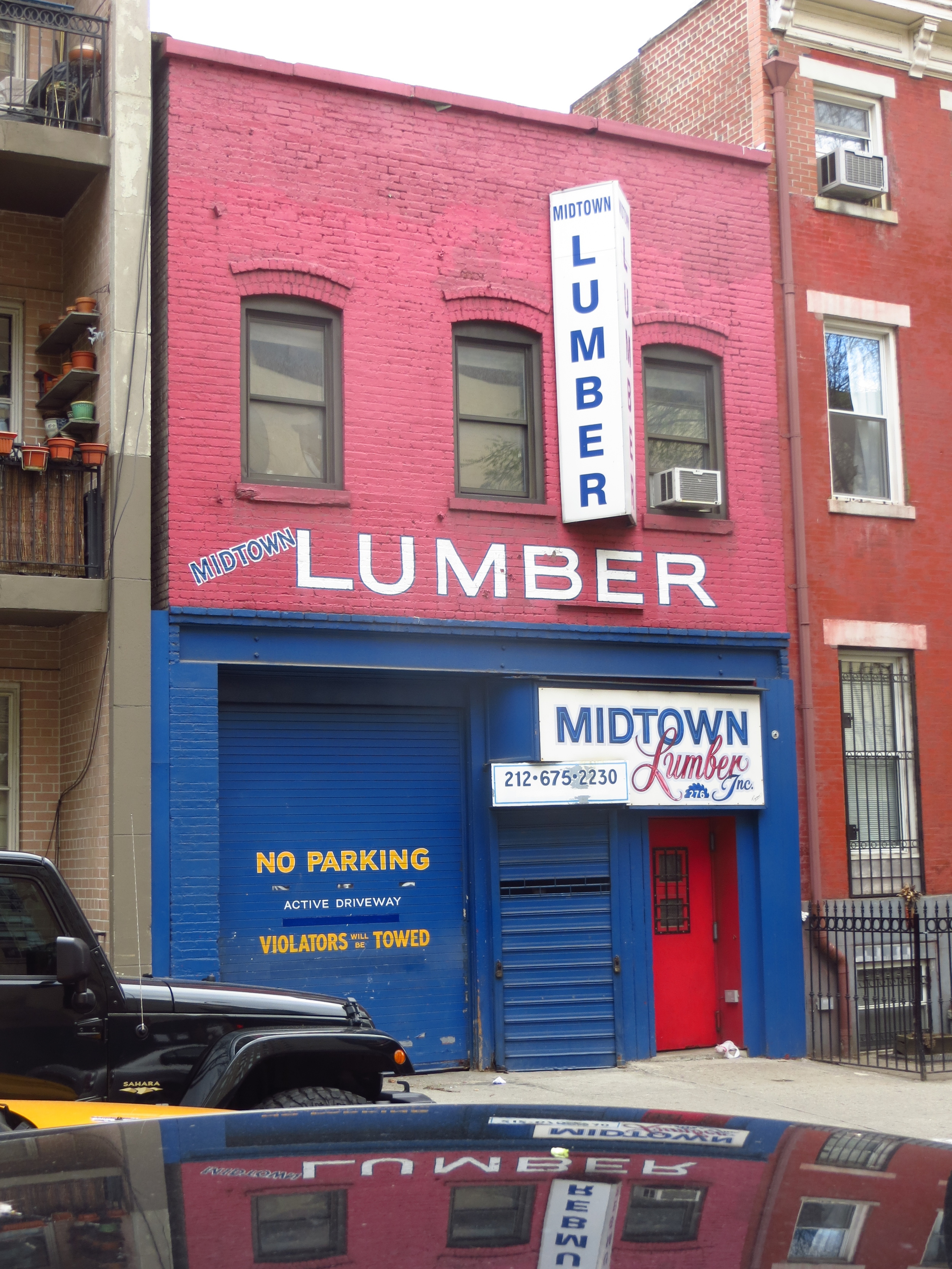
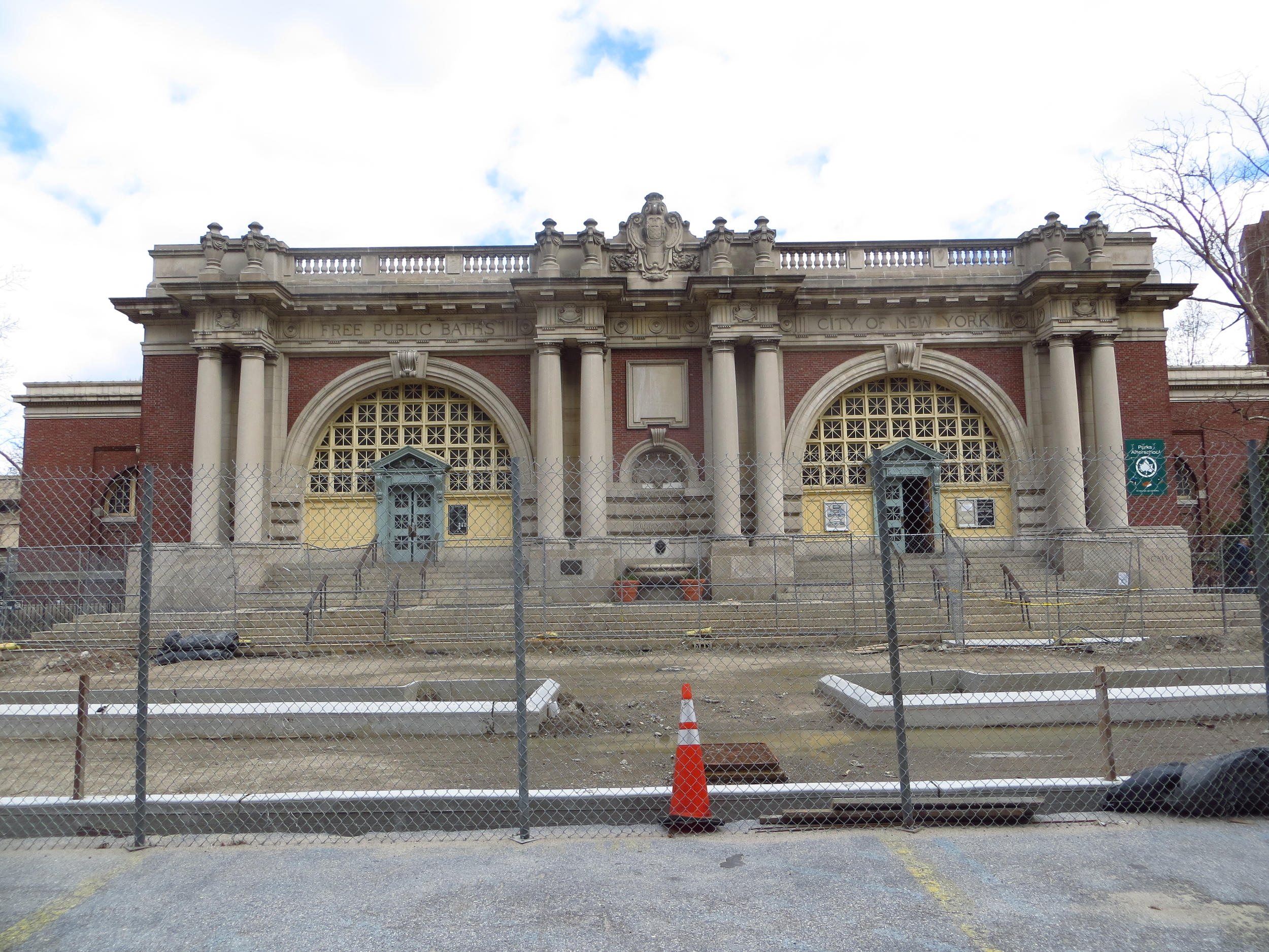
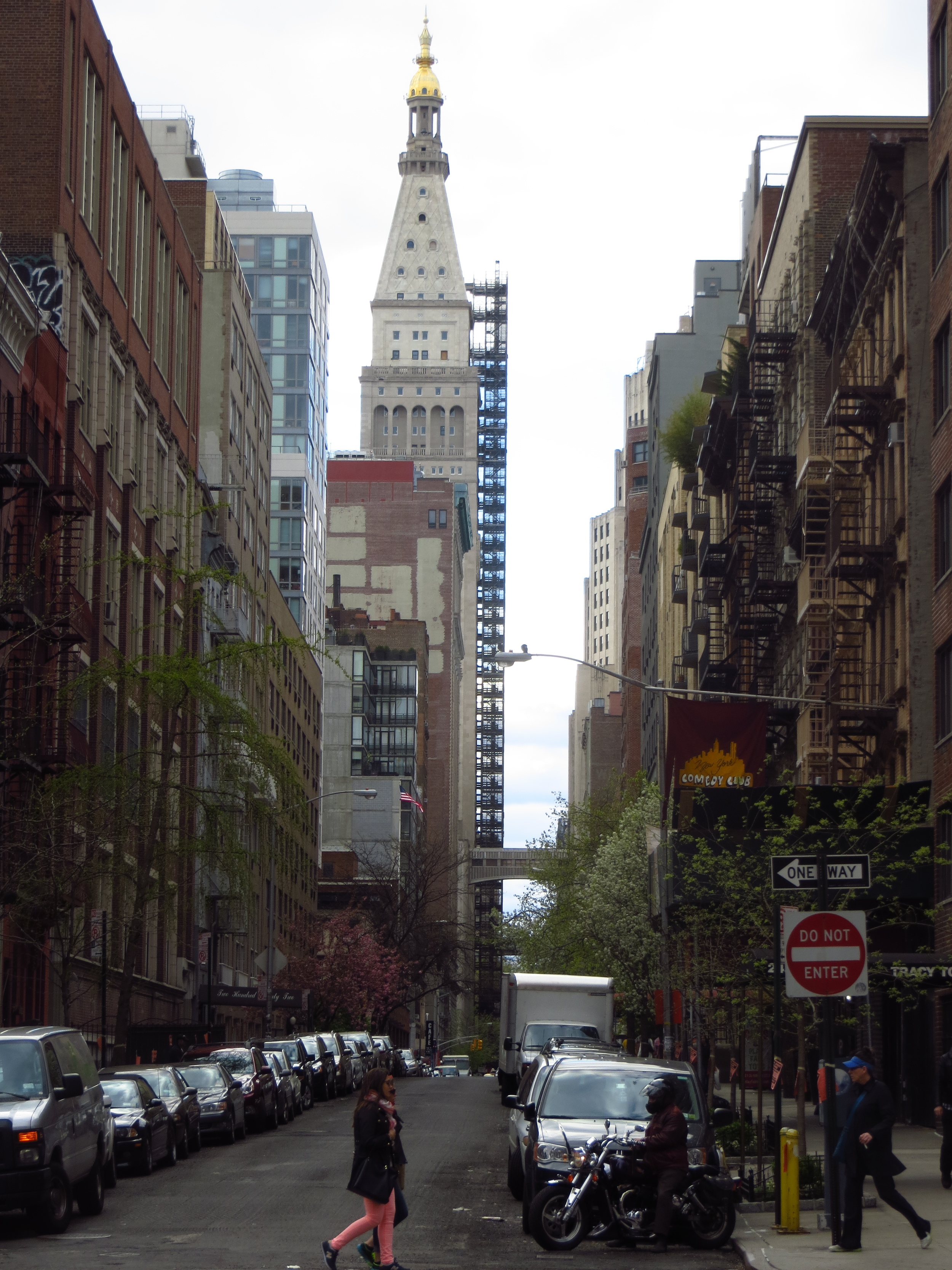
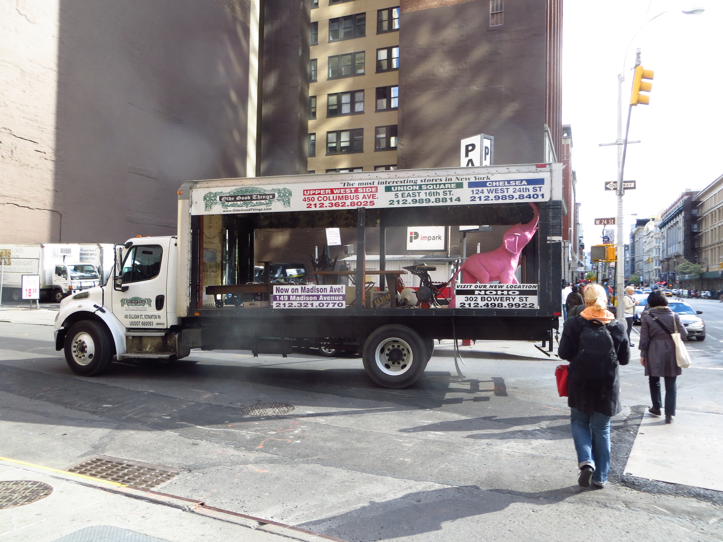
I started in northern Chelsea at 12th Ave. and 29th St. and made my way back and forth down to 24th St. I would classify it as a transitional area, not quite the modern feel of Midtown to the north and not quite the turn of the century feel of Flatiron to the south. You get a lot of mini districts, like the block where every other store is cell phone case wholesaler, or the street lined with all manner of large plants and trees for sale. Although it isn't technically in the Garment District, you get a bit of a lower rent version of that with a bunch of cheap fabric/clothing wholesalers in the area roughly between about 8th Ave. and 6th. Ave. That being said, the NoMad area surrounding Madison Square Park does have quite a few neat older skyscrapers like the gold-capped New York Life Building (built 1928).
A quick aside, the "Squares" you always hear about in Manhattan are the areas between 7th Ave. and Park Ave. where Broadway crosses an Avenue, starting in the north with Times Square at 7th Ave. and 42nd St. and ending in the south with Union Square at Park Ave. and 14th St. Madison Square Park is where Broadway crosses Madison Ave.
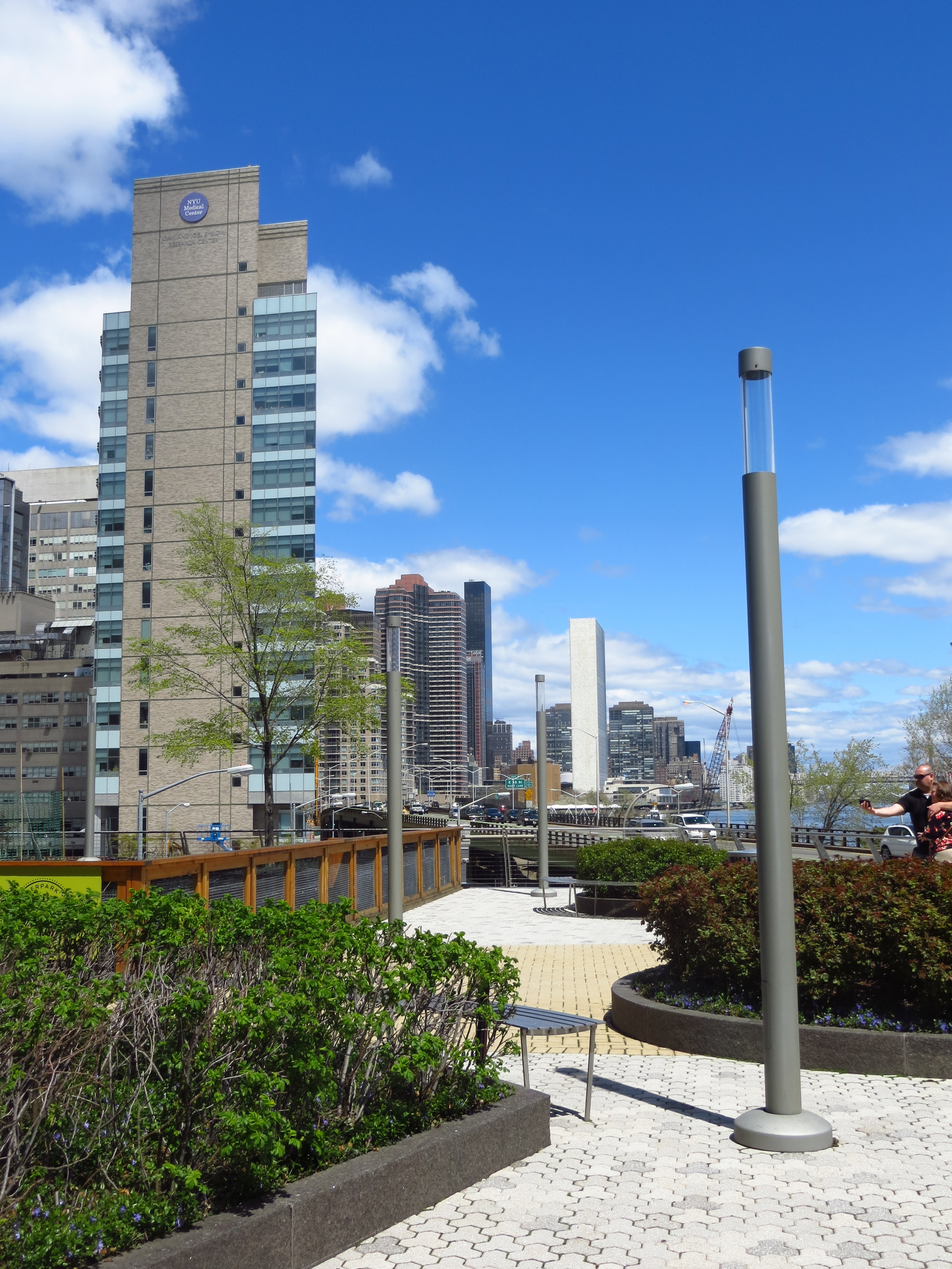
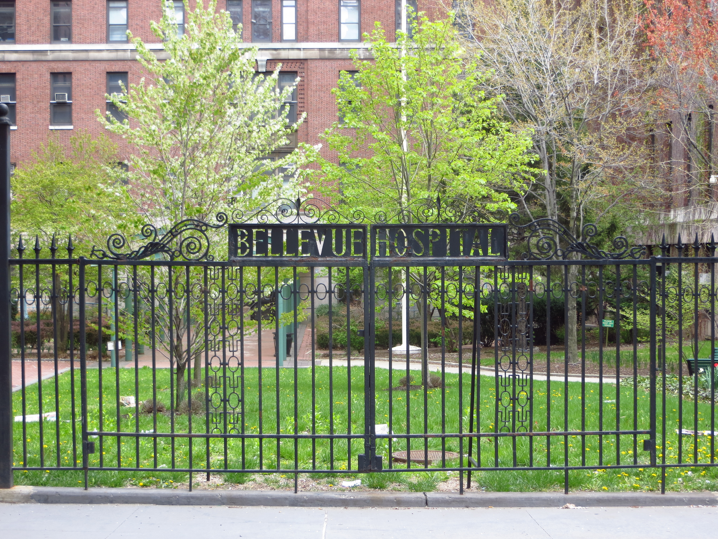
Finally, to the east, north of Gramercy, is Kips Bay, named for a Dutch settler who owned a farm in the area. It used to be an inlet of the East River, but was filled in at some point and today is largely residential. It contains the NYU/Bellevue hospital complex, which occupies several blocks east of 1st Ave.