Financial District Clean-Up

I did a few miles in the Financial District today to cover some streets that I'd missed on my last two walks in lower Manhattan.  Thematically they were similar, but what made this walk notable was that it marked the end of my "neighborhood walks".  All that's left from here on out are the avenues running north/south.

While I'll miss getting to really know small pockets of the city, walking back and forth does get repetitive, as does having to pay attention to where I'm going so that I don't miss a street.  Taking longer "cruise control" walks are what got me into this in the first place and I've been looking forward to getting back to them.

Today's walk (everything inside the red border)

Today's walk (everything inside the red border)

There's nothing really to say here that I didn't already say in my last two posts about Lower Manhattan, so I'll just skip straight to the pictures.

New Amsterdam

I went back to Lower Manhattan today for a walk around the Financial District and Battery Park City at the very southern end of the island.  Total distance was around 8 miles.

Today's walk (everything inside the red border)

Today's walk (everything inside the red border)

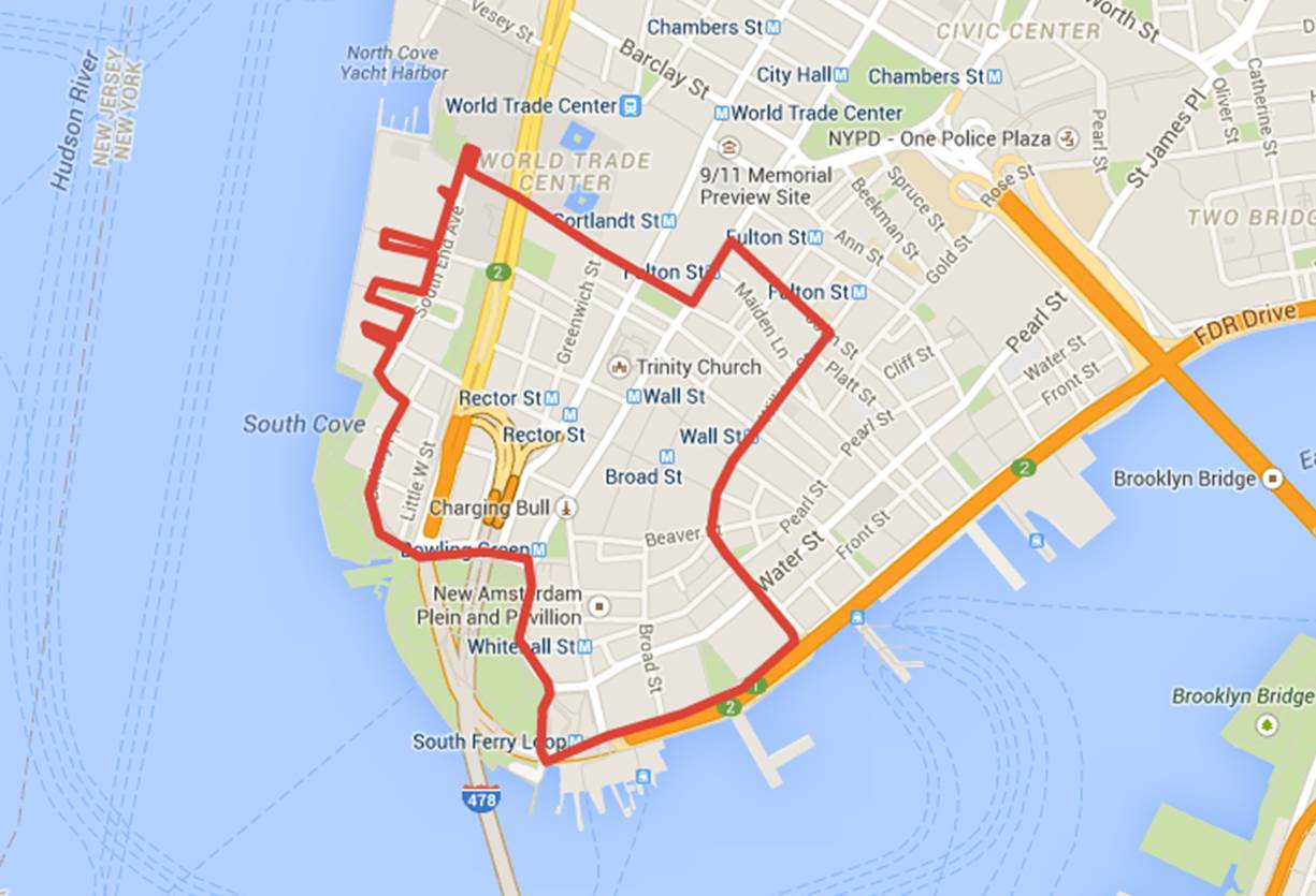
New York got its start in Lower Manhattan as the Dutch colony of New Amsterdam in 1625, and this walk includes some of the City's oldest history.  I'm not a native New Yorker, but in the four years I've lived here I've come to believe that New York's place in early American history is unfairly overlooked.  From a young age it's hammered into us that America was co-founded by the settlers at Jamestown and the Pilgrims, and these were the people who gave us our national character.  Here's the thing - these groups were terrible and I think you could make a much better case for New York being the true source of the American ethos.  But you can't just go throwing shade on core components of the American founding myth without justifying your argument, so here it goes. [Side note: I'm not a historian and make no representations that the diatribes that follow paint a fair and unbiased picture of events.] 

Why Jamestown Was Terrible
Jamestown was founded as a commercial venture by the Virginia Company; a royally sanctioned but privately funded enterprise whose goal it was to establish profitable settlements in the New World.  Jamestown was settled in 1607 by a bunch of aristocratic English entrepreneurs whose bold sense of adventure almost made up for their lack of agricultural knowledge and general survival skills.  They built their fort on a swampy island in the James River that they chose largely due to its lack of Native American inhabitants.  Of course, the reason no Native Americans lived on the island was that it was mosquito-ridden, unsuitable for agriculture, had no access to potable water and was generally unfit for human habitation.  As a result, two-thirds of the settlers had starved to death within a year.  

Despite the somewhat regular flow of resupply ships carrying food, tools, and additional settlers, the colony just couldn't get it together.  Of the approx. 6,000 colonists who settled in and around Jamestown between its founding and 1624, almost half died as a result of starvation, disease, or war.  They also never found an ounce of gold or silver (their initial goal) and after several years of trial and error (mainly error), the combination of a sweeter-tasting strain of the tobacco plant and a seemingly endless supply of slave labor allowed Jamestown to become a viable settlement, but not before the Virginia Company was dissolved by King Charles I and Virginia made a royal colony.  

Moral of the Story: Private enterprise fails in spectacular fashion (killing half of its employees in the process) and requires a government bail-out to turn a profit.  

Why the Pilgrims Were Terrible
If you paid attention in 2nd grade American history, you would know that the Pilgrims were persecuted for their religious beliefs, and unable to find tolerance in the Old World, courageously traveled to America to form a colony where people would be free to practice their religion as they saw fit.  This is mostly false.  

It's true that the Pilgrims, who could be best described as Puritan extremists, faced religious persecution in England, but what history books always leave out is that religious tolerance was less than 300 miles away in the the Netherlands.  In 1609, the Pilgrims sailed across the English Channel to the Netherlands, where they were welcomed by the Dutch and allowed to practice their religion as they pleased.  The 17th-century Dutch were well ahead of their time as far as religious tolerance was concerned, and had what amounted to a "live and let live" philosophy on religious diversity.  So long as the Pilgrims' religious activities didn't impede on the rights of the Dutch, they didn't care how the Pilgrims spent their Sundays.  Story over, right?  

Nope - the Pilgrims found the Netherlands a little too free for their liking.  While the older members of the congregation had difficulty adapting to life in the Netherlands, their children were only too happy to integrate with the more free-thinking and permissive Dutch.  They learned the language and several left the congregation, either to seek employment elsewhere in the Netherlands or to enlist in the Dutch army.  On top of that, it appeared that a truce in the Eighty Years' War between the Netherlands and Spain was in danger of ending, meaning that there was a possibility that the Pilgrims might actually have to fight to protect the freedoms that they claimed to hold so dear.  So in 1619, rather than stay and let their religion stand on its own merits in the Netherlands' free marketplace of ideas and/or physically fight for their right to free exercise of religion, the Pilgrims decided to run away.

They sent representatives to England to secure a charter to settle the mouth of the Hudson River (which had recently been explored by the Dutch), which was granted in July 1619 and funding secured through a group of private investors.  They set sail on the Mayflower in September 1620, and made landfall in Cape Cod in November.  They then tried to sail south to the Hudson, their original destination, but found the seas too rough and, to the relief of every present-day New Yorker, were forced to turn back.  Ironically, the Dutch had initially offered to let them settle in Cape Cod (then a part of the New Netherlands colony), but so great was the Ingrates'...sorry, the Pilgrims' desire to avoid Dutch influence that they opted to go with the offer from the English (their original oppressors).

Anyway, the Pilgrims eventually disembarked at Plymouth in late December where nearly half of the party promptly died.  Apparently no one questioned the wisdom of emigrating to an unfamiliar and unsettled (by European standards) foreign land in the middle of winter.  That's not brave, that's just stupid.  The 50% mortality rate would have likely been 100% had it not been for Squanto.  Squanto, the Native American who spoke English after having been kidnapped by an English explorer and essentially forced into slavery for about 15 years,  inexplicably took pity on the Pilgrims and taught them how to grow crops, hunt, fish, and not die.

Anyway, now that the Pilgrims had made it to the new world, they set up a society where all would be free to practice the religion of their choice, right?  No again - attendance at their church was mandatory.  So the Pilgrims didn't really come to America in search of religious freedom, they came to America in search of the freedom to be the only religion.  A few decades after its founding Plymouth began to receive immigrants outside the Puritanical faith, many of them Quakers, and in 1645 leading citizens actually petitioned the colony to grant "full and free tolerance of religion to all men that will preserve the civil peace and submit unto the government."  This was firmly rejected by the Governor, who would later enact laws formally disenfranchising the Quakers (and anyone else with different religious beliefs), and Quakers would be periodically expelled from the colony.  I could go on, but you get the picture.

Moral of the Story:  Religious fanatics, unable to adapt to a pluralistic society (and too cowardly to fight for their religious freedom), establish a theocracy.  Survive only as a result of help from a kind pagan with poor pattern recognition and proceed to act like a bunch of hypocrites when other persecuted persons of faith arrive.

A Short History of New Amsterdam and Why It Wasn't Terrible (Or at the Very Least, Less Terrible)
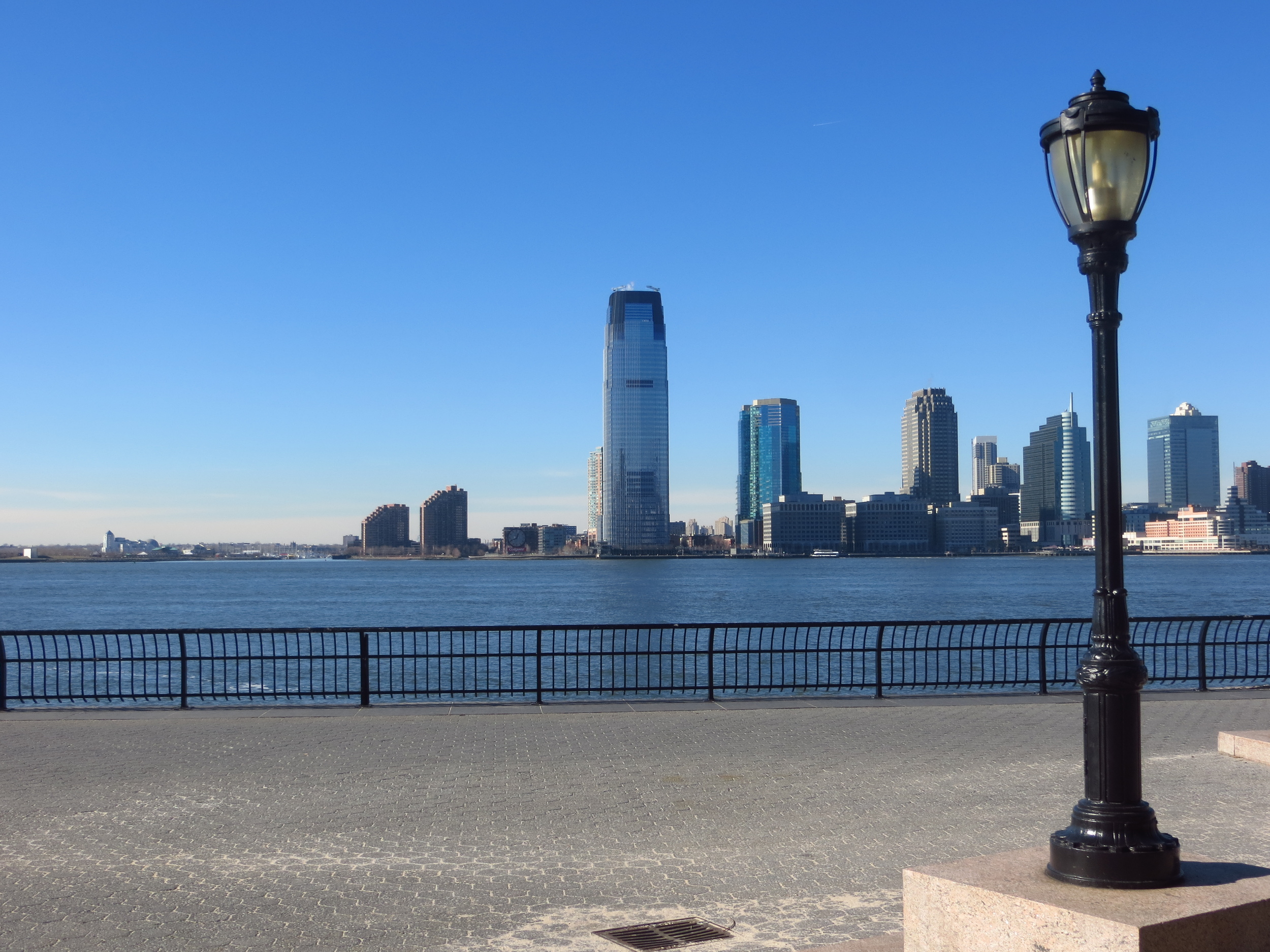
The first known European to visit New York was Giovanni Di Verrazzano, an Italian explorer working for the French, who sailed into New York Harbor in 1524.  A Spanish expedition arrived the following year and sailed into the mouth of the Hudson, but after that the area was largely forgotten.  Europeans didn't return until 1609, when English explorer Henry Hudson sailed up the river that would later bear his name while on a mission to find the Northwest Passage for the Dutch East India Company.  After determining that the river did not lead to another sea, he backtracked and explored the area around New York.  The entire region, from Delaware Bay to Cape Cod, would be claimed for the Dutch in 1614 and named New Netherland.  

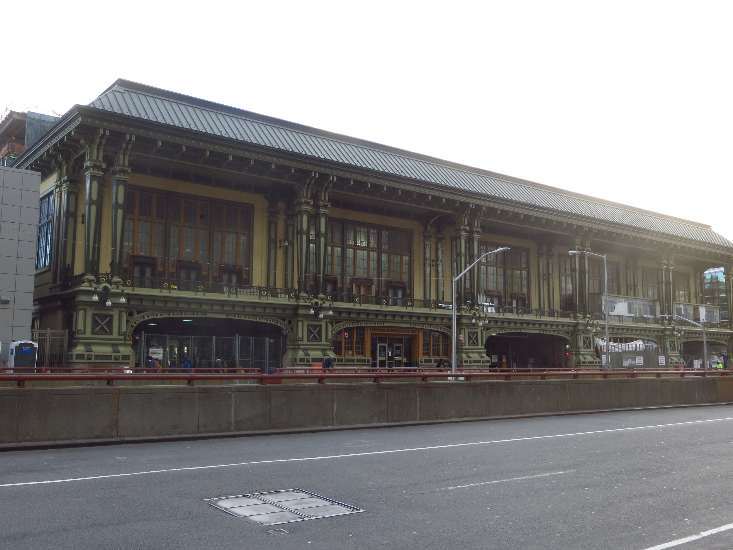
The first permanent Dutch settlement in New Netherland was a fur trading outpost established on Nut Island (today Governor's Island), a small island south of Manhattan in New York Harbor, by the Dutch West India Company (a merchant-backed, government chartered company, similar to the Virginia Company) in 1624.  In 1625 the settlement was moved to the southern tip of Manhattan where a fort was built to defend the mouth of the Hudson River and their fur trade operations upriver from attacks by the English or French.  Although the settlement would be known as Fort Amsterdam for the next 28 years, this is generally considered to mark the official founding of New Amsterdam (and by extension New York).

The following year the new leader of New Netherland, Director-General Peter Minuit, made the legendary purchase of the island of Manhattan.  He traded an estimated $1,100 worth of Dutch goods with the Lenape tribe in exchange for exclusive use of Manhattan.  While this has traditionally been framed as a raw deal for the Lenape, they may have actually come out on top, since the island (at least according to Wikipedia) was actually largely controlled by a rival tribe at the time.

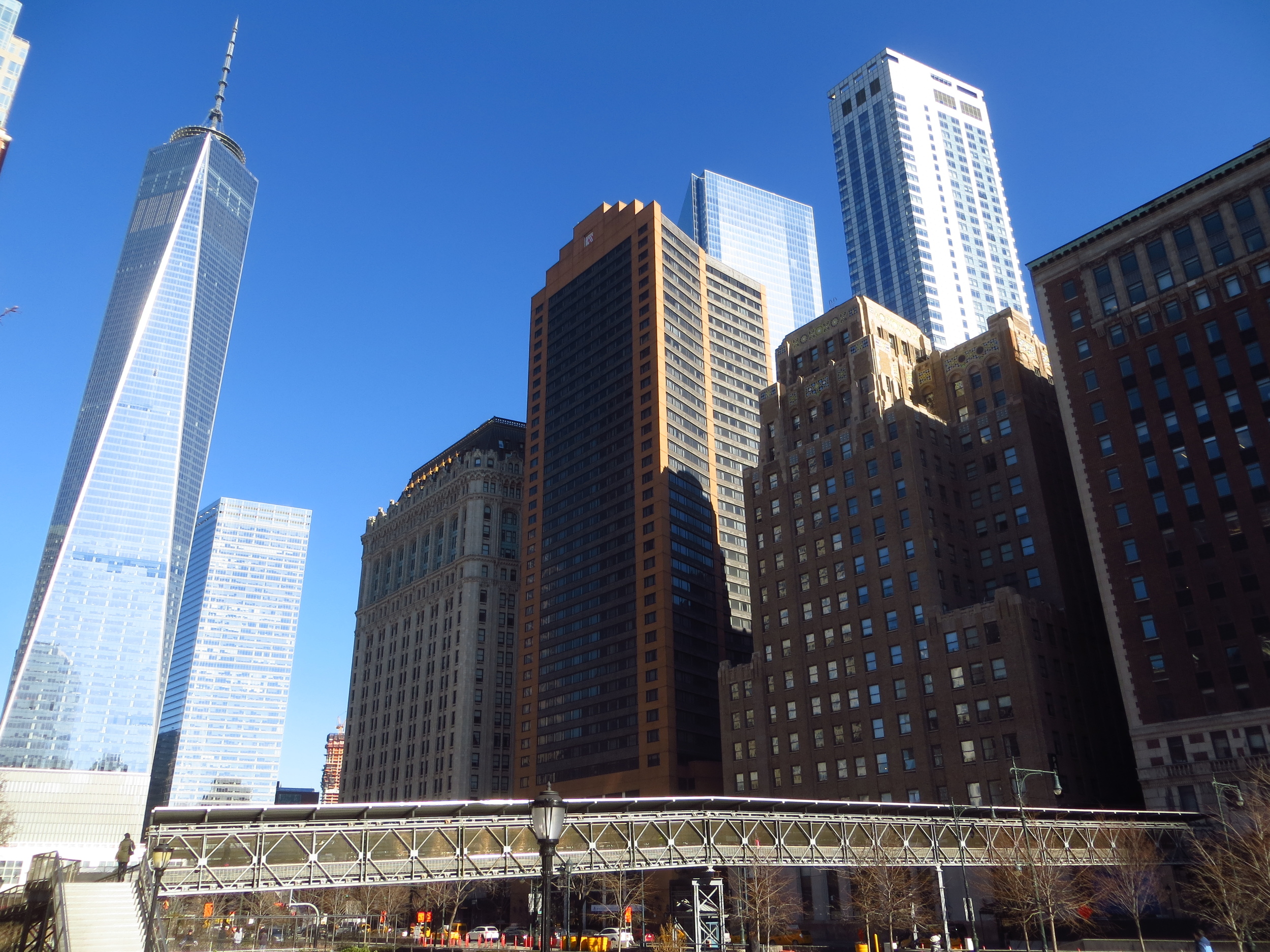
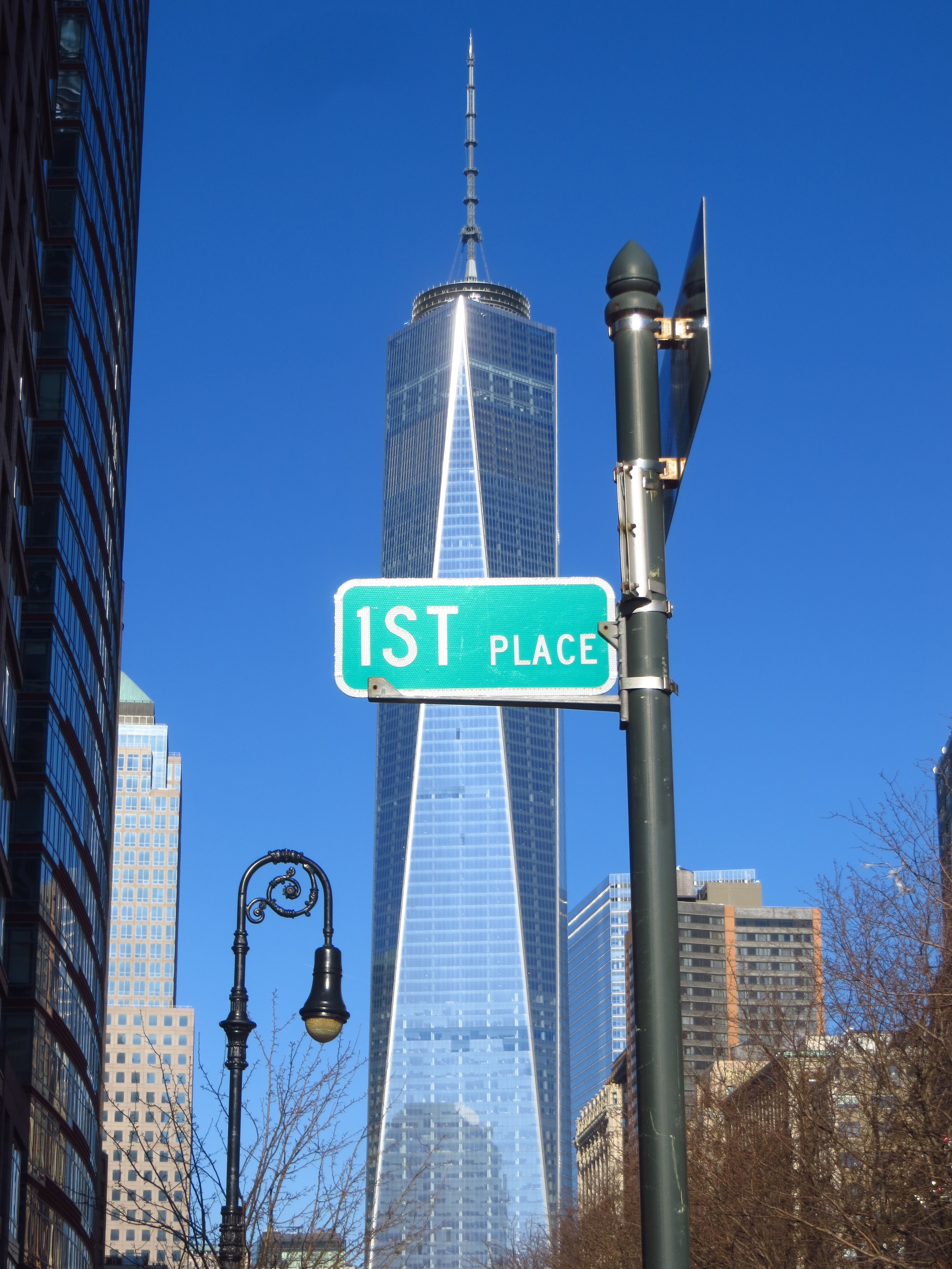
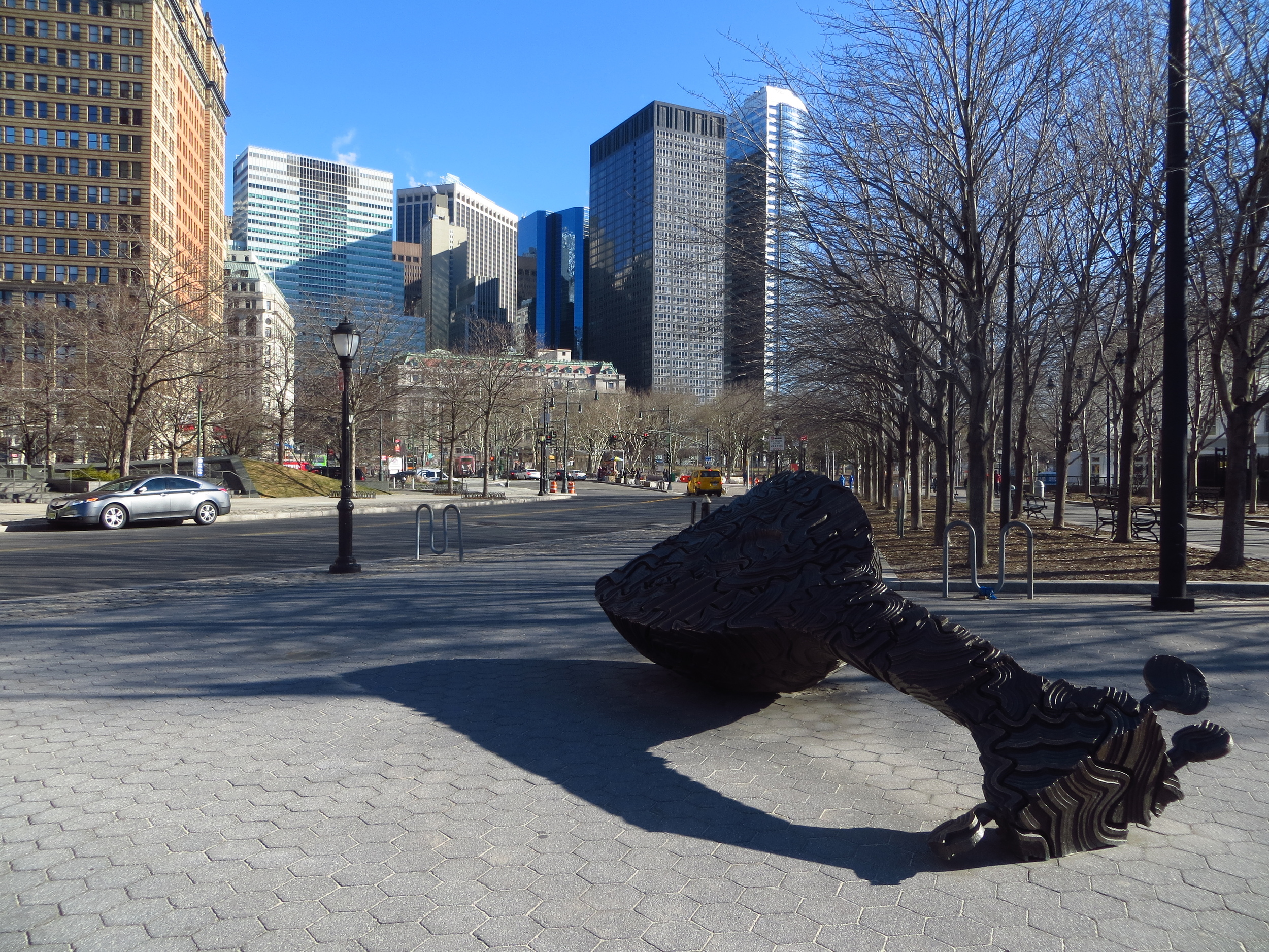
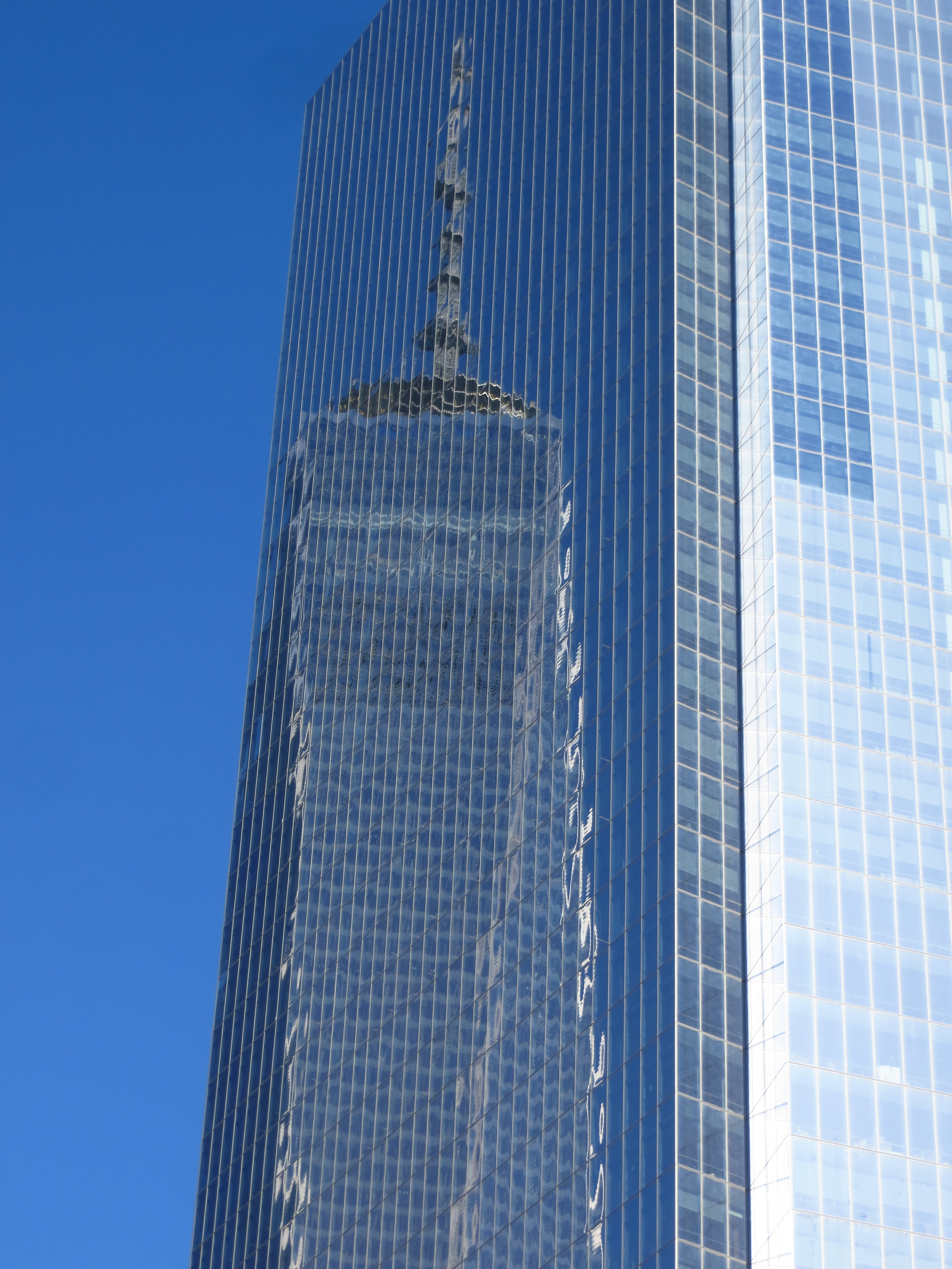
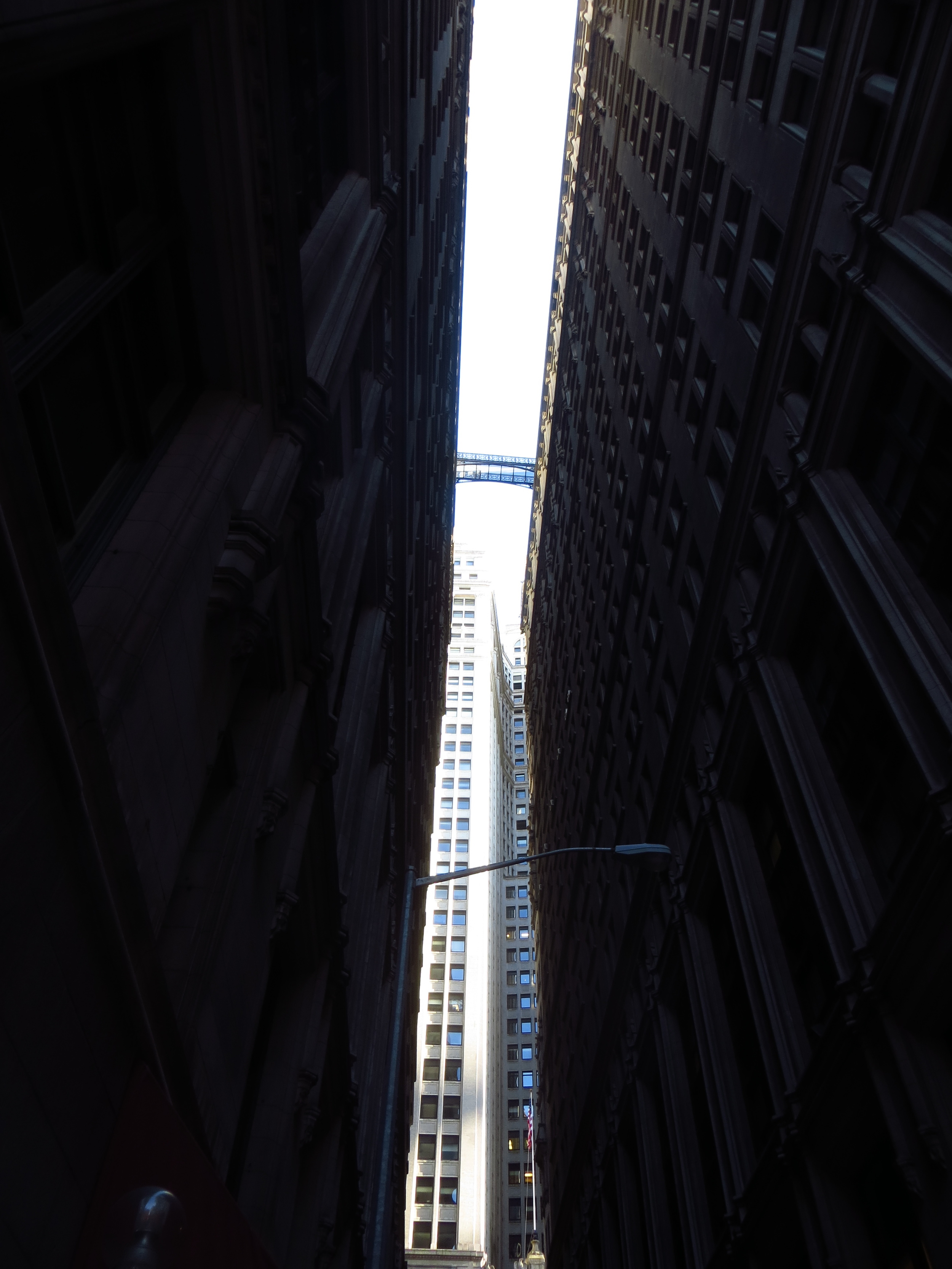
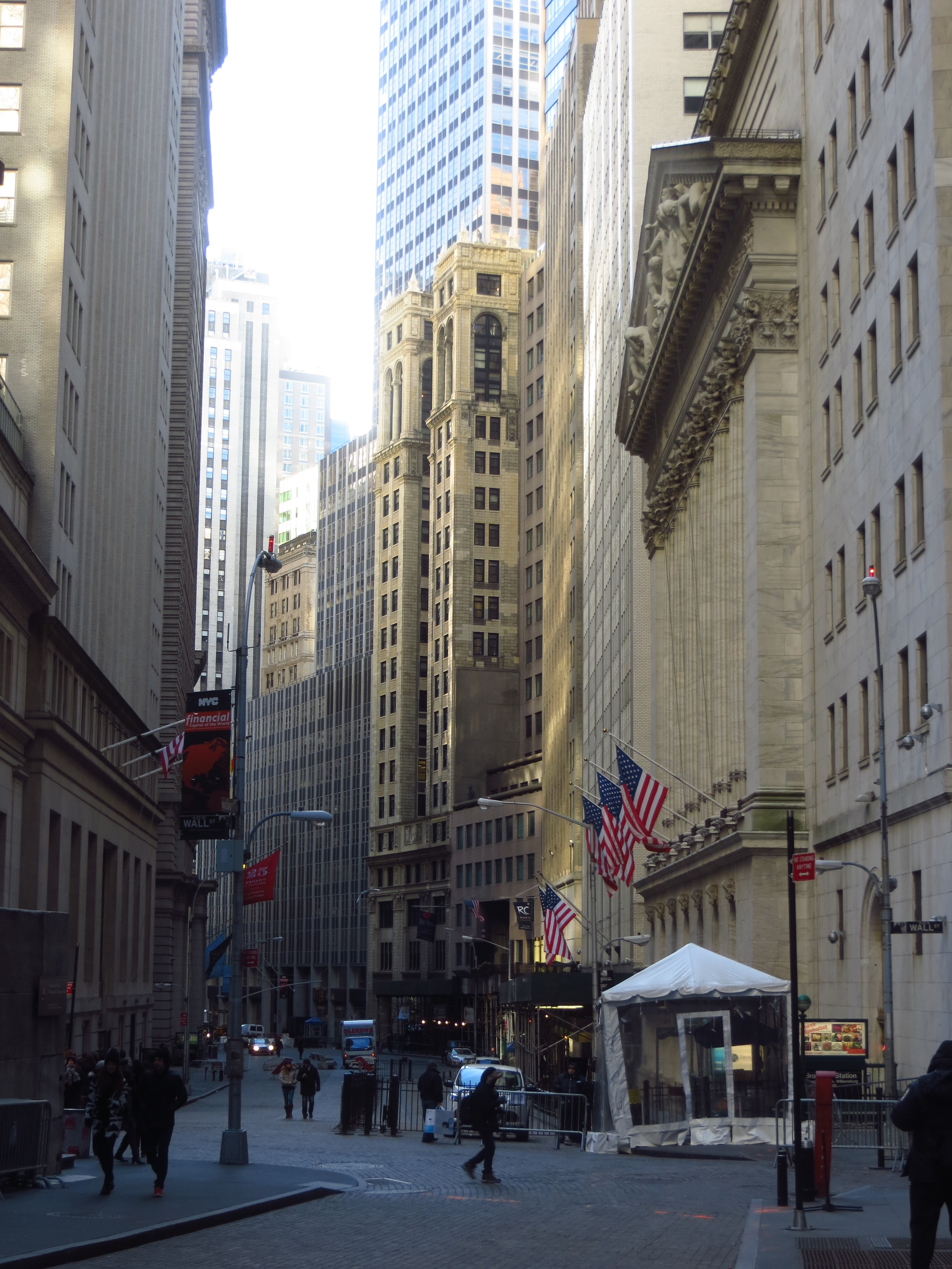
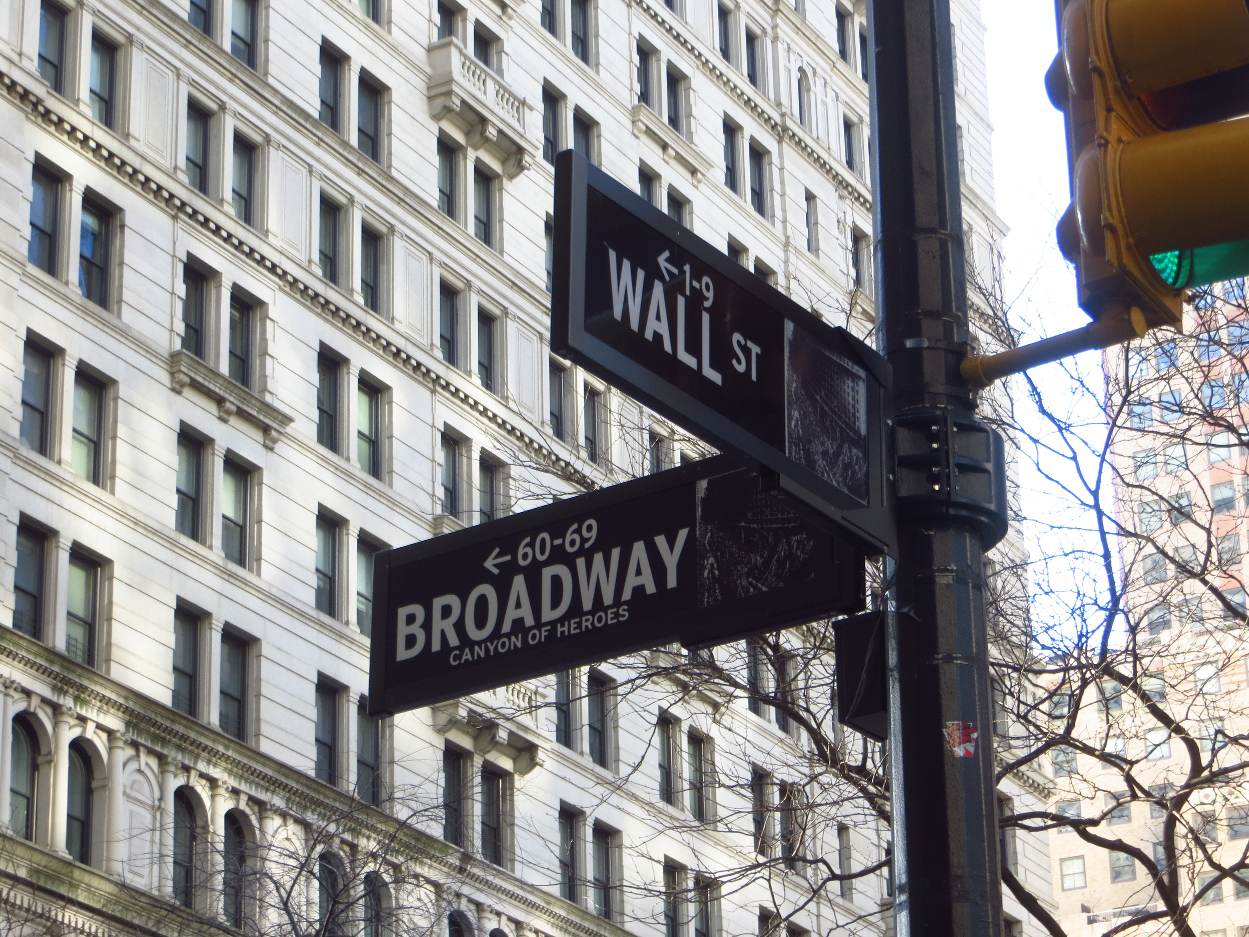
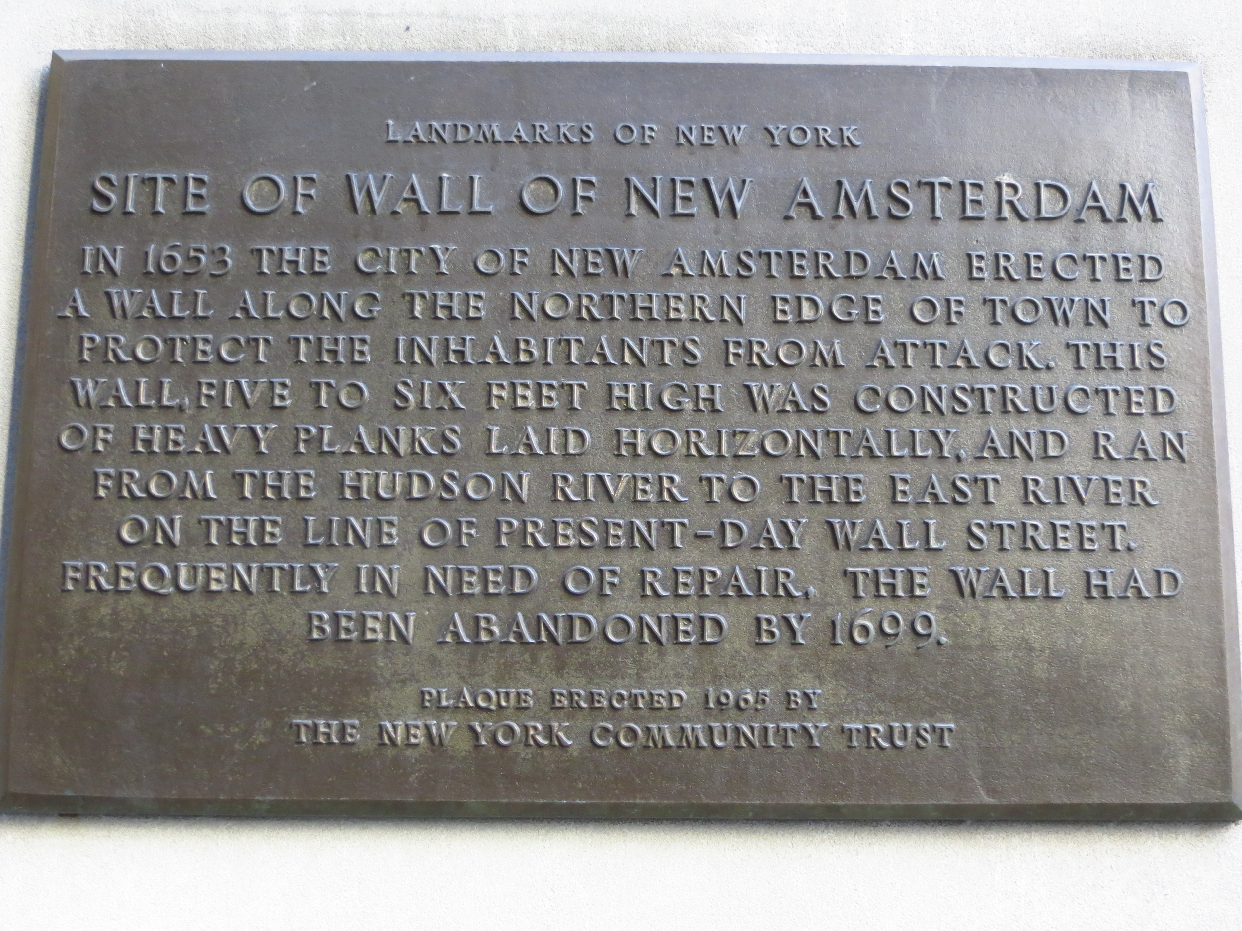
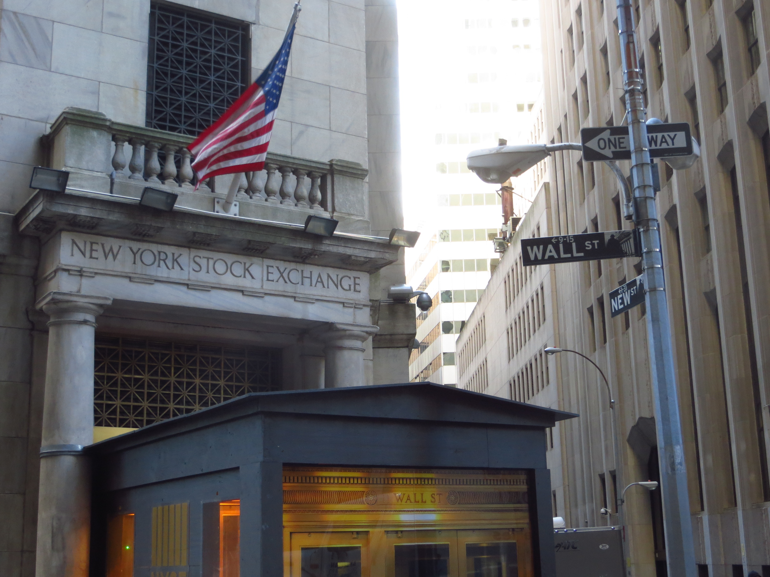
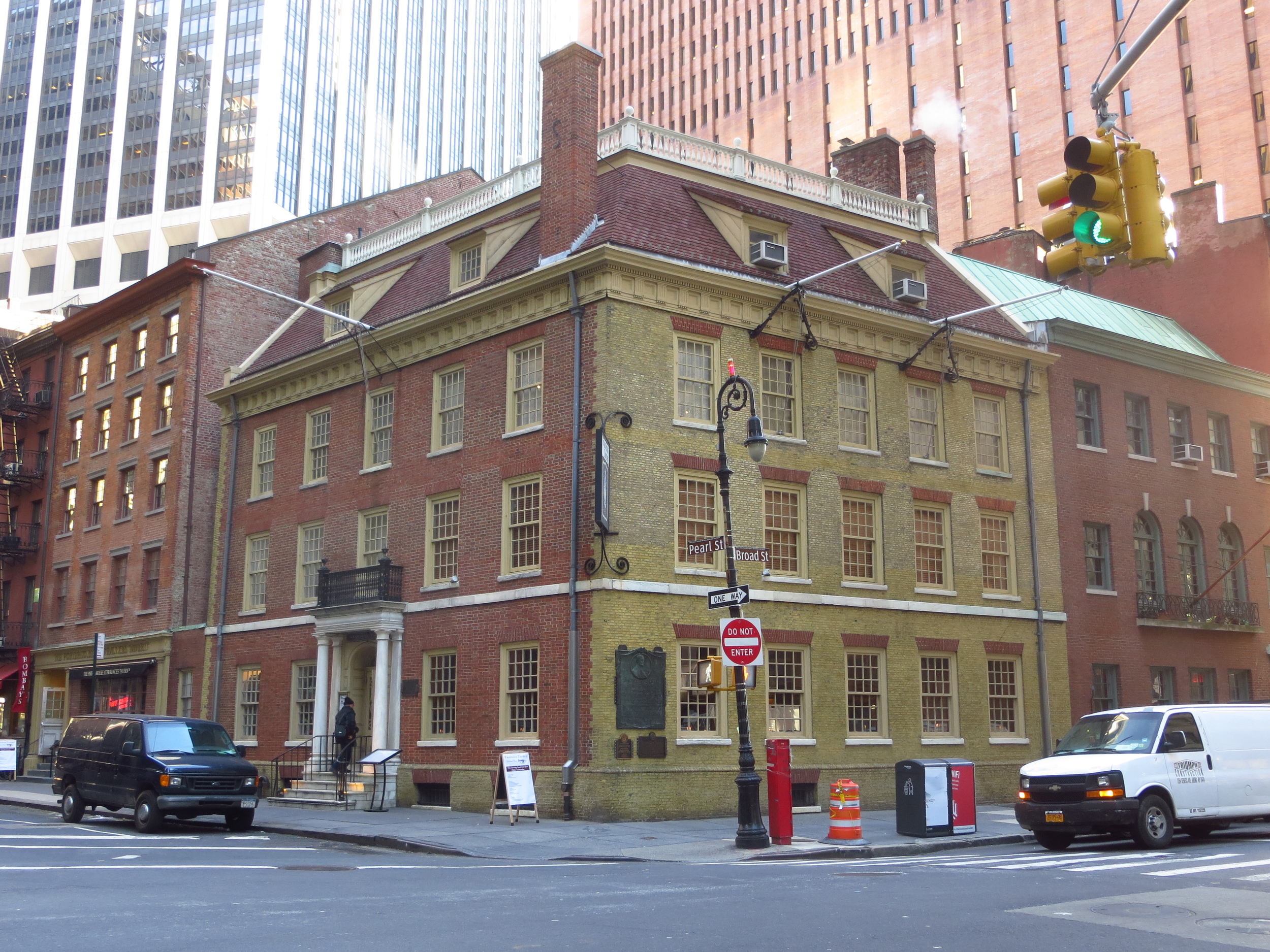
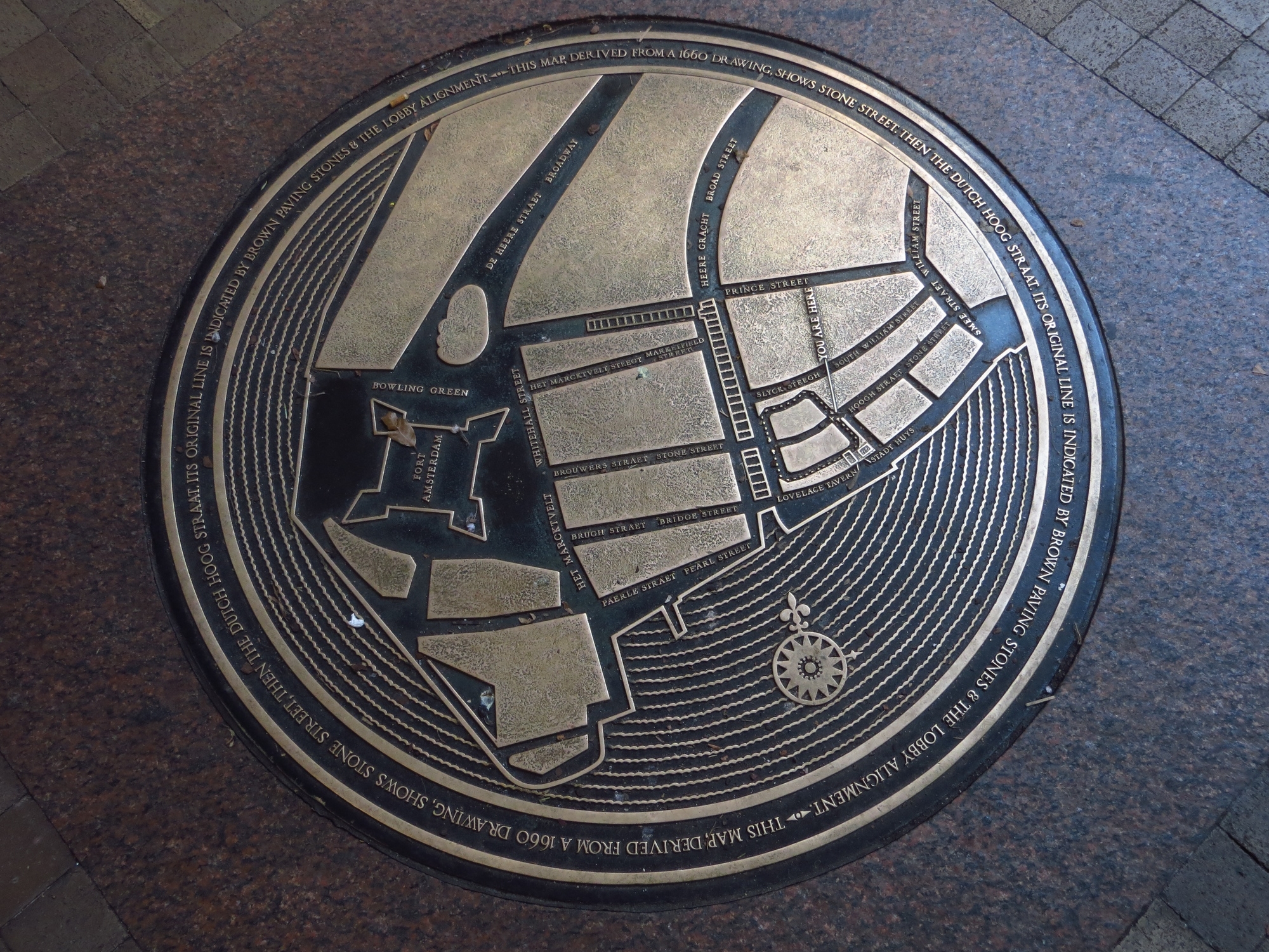
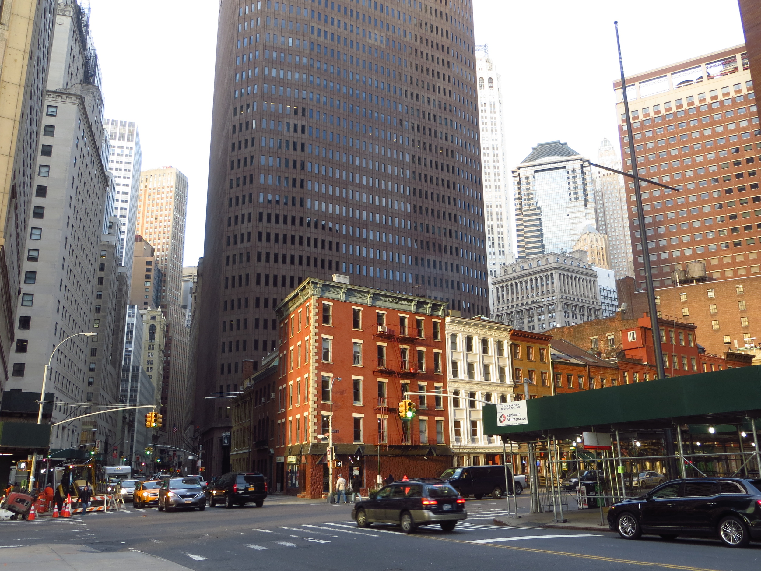
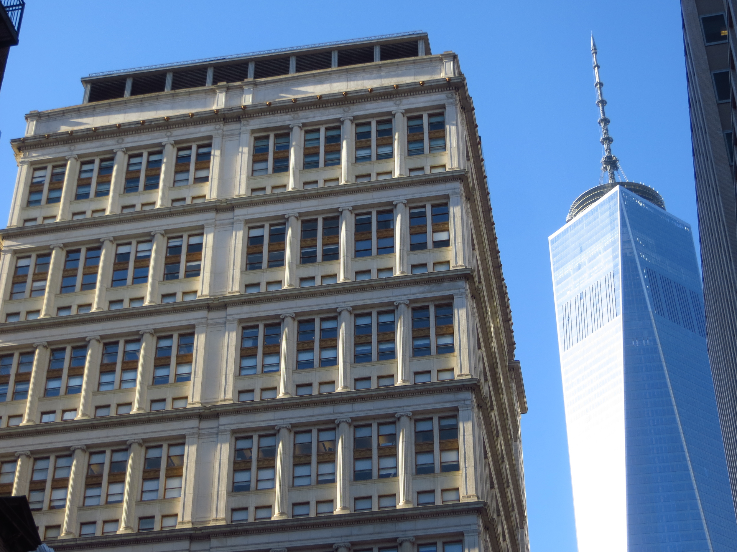
It's also worth noting that when the Dutch arrived, Manhattan was much smaller than it is today.  If you look at the Castello Plan, a map of New Amsterdam circa 1660, you'll see that the shore of the Hudson River river ran along what is today Trinity Place on west side of the island and the East River met the island at what is today Pearl Street.  The land that today makes up Battery Park didn't exist.  Over the ensuing centuries the island was expanded using infill - so much so that today more of the area south of Wall St. (named for a defensive wall built along the northern end of the settlement) is infill than natural island.  Even the World Trade Center is built on land that would have been riverbed in 1625.

It would be an exaggeration to say that the settlement immediately prospered; between 1625 and 1640 Fort Amsterdam's population only grew from 270 to about 500.  But it did not face the self-inflicted hardships experienced by the Jamestown settlers or the Pilgrims.  As far as I've been able to ascertain, the Dutch pretty much knew what they were doing and as a result didn't face mass starvation or disease. 

As the Dutch upriver fur trade expanded, the settlement at Fort Amsterdam grew in importance as a trading hub, and the population doubled between 1640 and 1650.  The settlement's growth was further aided by the arrival of a new Director General in 1647; Peter Stuyvesant.  Stuyvesant, who walked with a peg leg after a run-in with a Spanish cannon ball in St. Martin, was not a lot of fun but ran a tight ship.  He was selected by the Dutch West India Company to restore a level of order in the colony that they felt had been lacking.  Although it didn't win him any friends (he was fairly unpopular with the masses), Stuyvesant did his job and Fort Amsterdam thrived as never before.

The settlement officially became a Dutch city and changed its name to New Amsterdam in 1653, and over the next decade its population boomed from around 1,500 to nearly 2,500 inhabitants; only about half of which were Dutch.  Because the New Amsterdam was considered to be a commercial venture first and foremost, its ethnic / racial / religious composition of New Amsterdam wasn't of particular concern to its residents or the Dutch West India Company.  So long as a person was willing to work hard and not be a burden on others (or a jerk), they were welcomed (or at least tolerated) in New Amsterdam.  This policy attracted talent from all over the world and was a key component in New Amsterdam's growth.  Stuyvesant was a notable exception to this rule, and was hostile to those who did not belong to the Dutch Reformed Church.  But when he petitioned the Dutch West India Company to expel a group of Sephardic Jews that had come to the city after fleeing Portuguese persecution in Brazil, he was told that such an action would be "unreasonable and unfair", and instead the Jews were granted permanent residency.

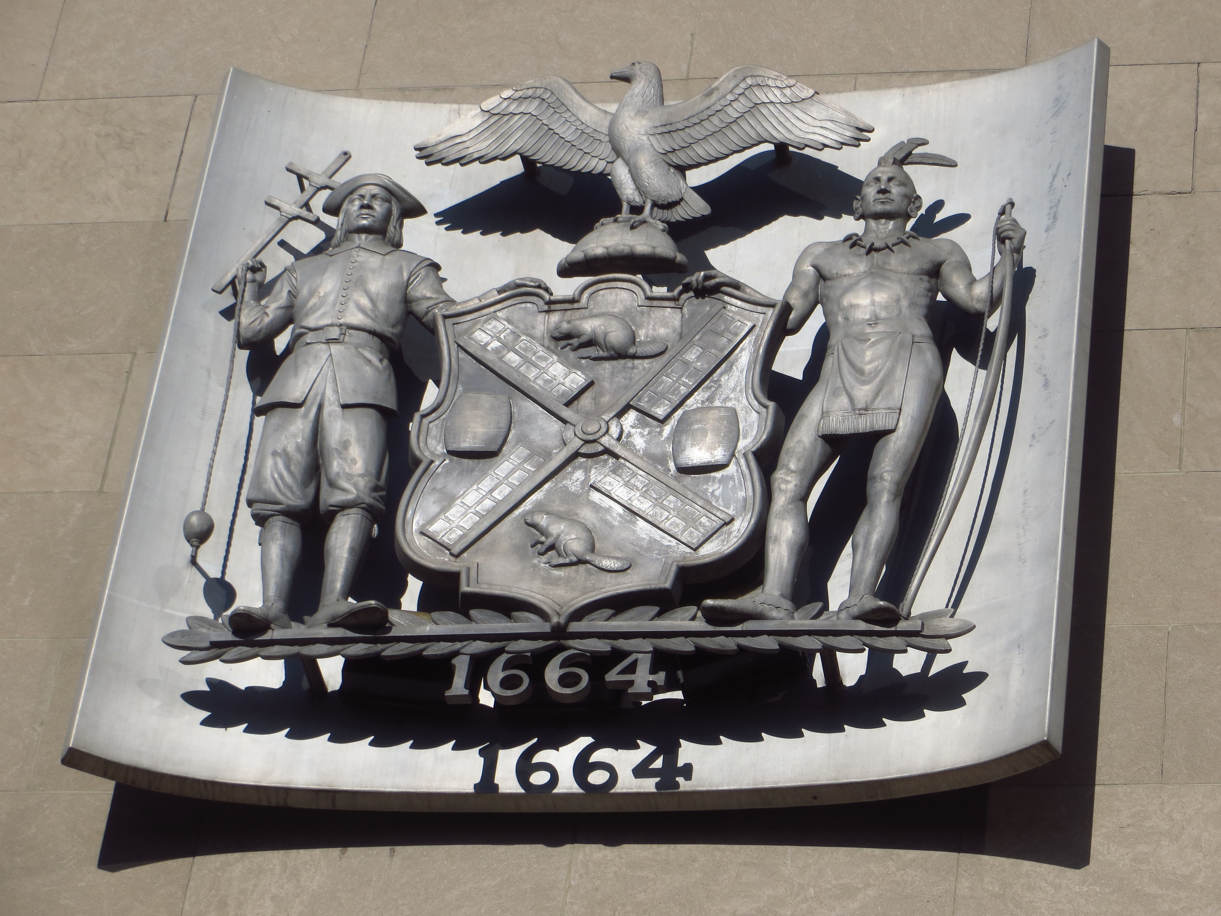
The English had long maintained a claim to New Netherland, but nothing much had ever been done about it until King Charles II gave the colony to his brother, the Duke of York, as a gift.  The Duke, who would later attach his title to the city, was quick to claim his prize, and the Dutch history of New York came to an end in August 1664 when four English warships entered the harbor and demanded New Netherland's surrender.  Stuyvesant initially refused and promised a fight to the death, but this didn't sit well with the rest of the city's residents. The half that weren't Dutch saw no reason do die for Stuyvesant's nationalistic pride, and the half that were Dutch thought of New Amsterdam more as a company and themselves employees.  If anything, being under British rule would expand their trading opportunities with other colonies to the north and south.  So instead of getting themselves killed in a fight they were never going to win, they negotiated a deal with the British that allowed them to keep on going about their daily lives much as they had been.  No property was confiscated and the ethnic / racial / religious tolerance that many of the city's residents had enjoyed was maintained.  Even old Peter Stuyvesant decided to stick around, and lived out the rest of his days at his Bouwerij (Dutch for "farm") north of town, in what would later be known as the Bowery.

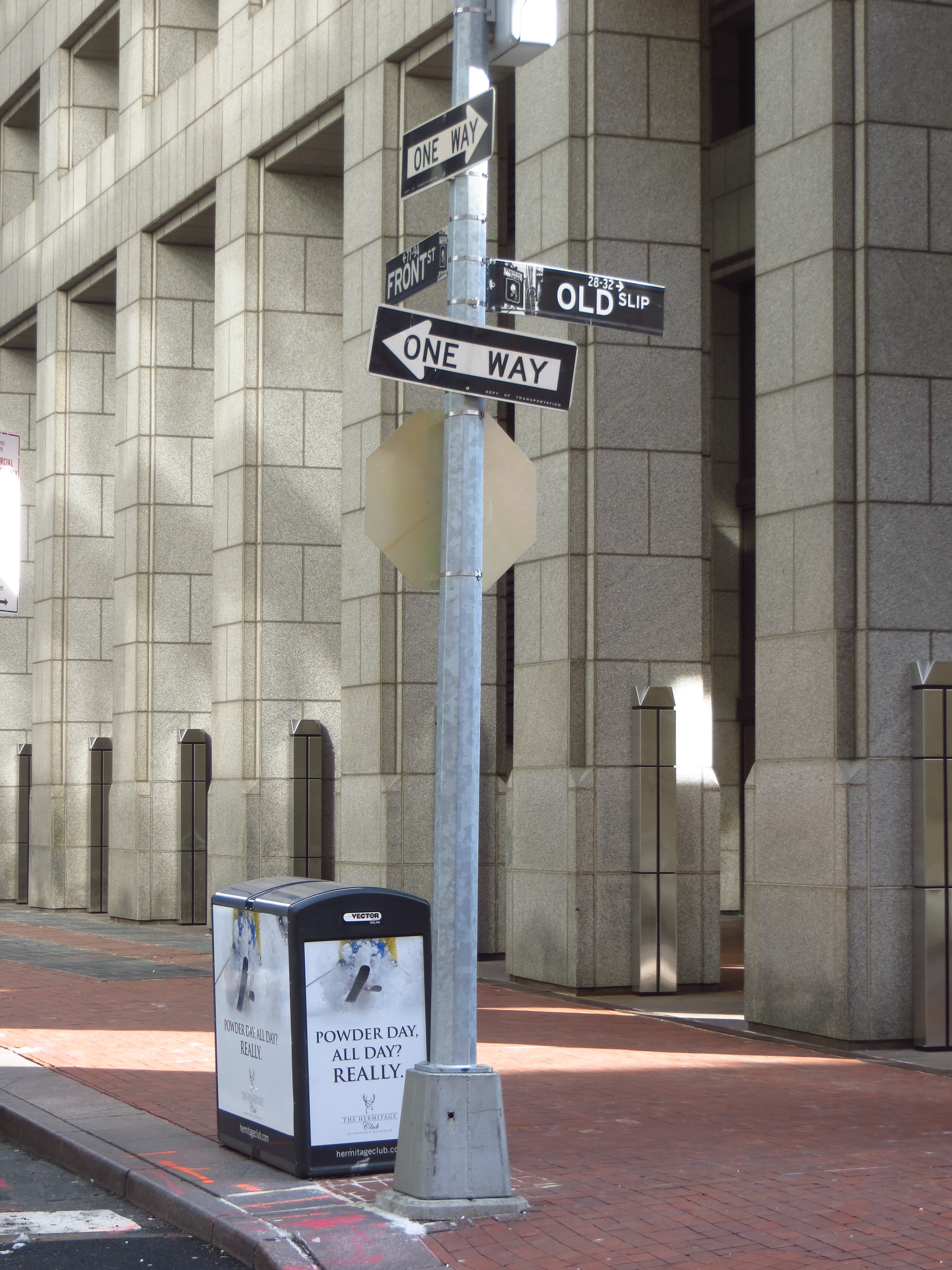
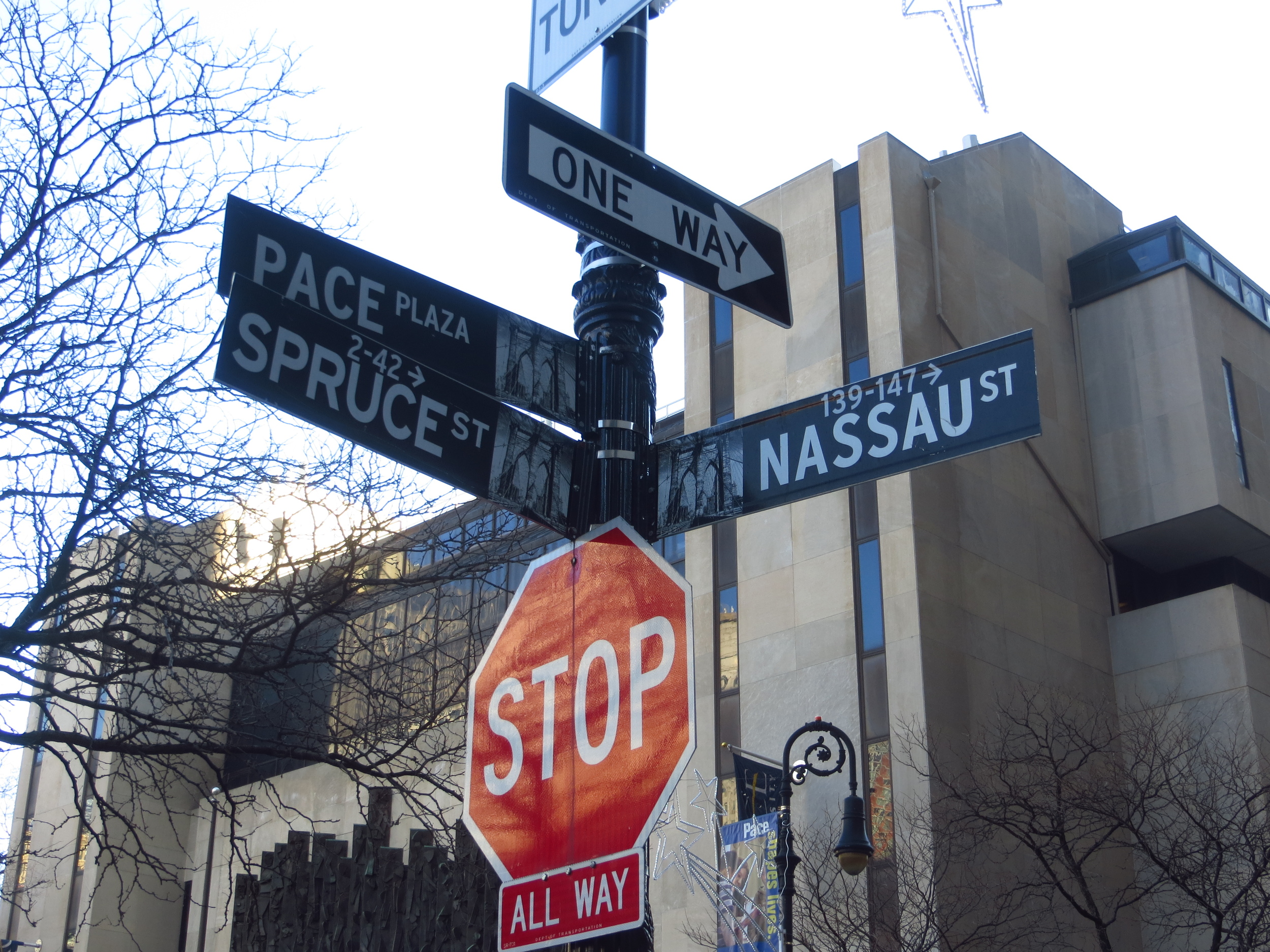
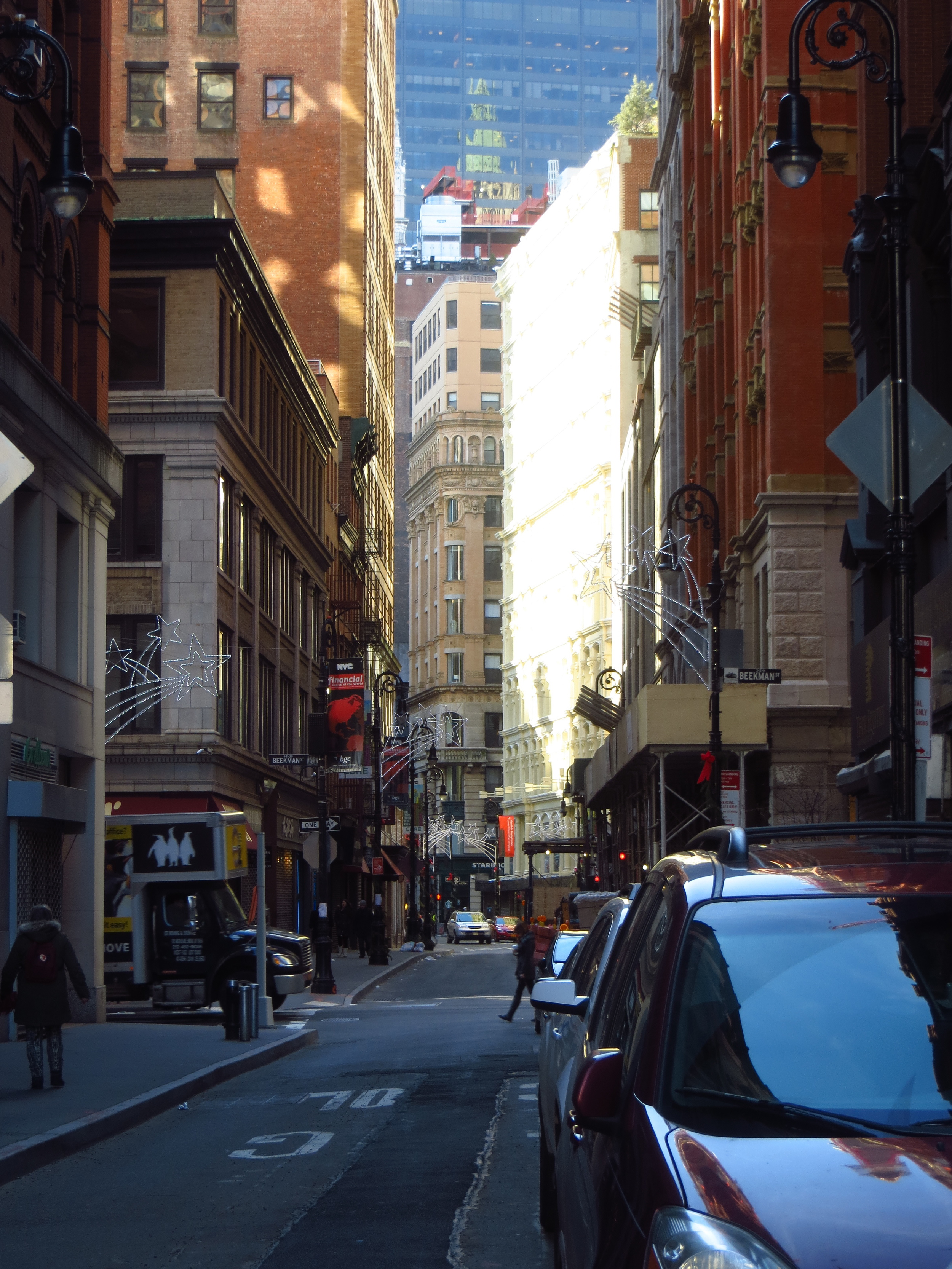
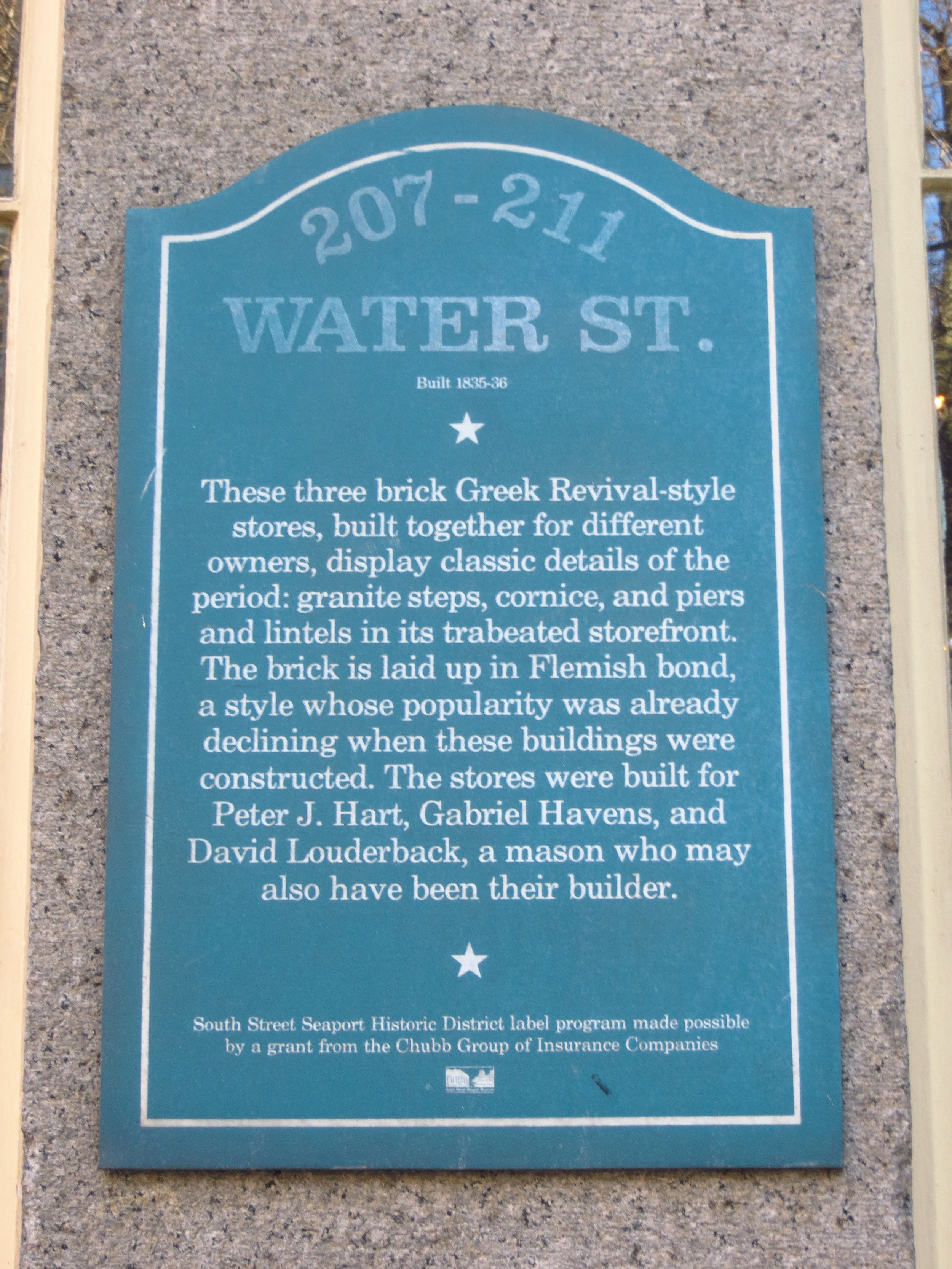
Not much is left of Dutch New York in the physical sense.  Large fires in 1776 and 1835 destroyed large swaths of Lower Manhattan and most of the buildings that didn't burn were eventually demolished to make way for new construction. Today New Amsterdam's most recognizable contributions to the City are the confusing street plan below Wall Street, the numerous Dutch names of neighborhoods and streets (Harlem, Bowery, Brooklyn, Bronx, Beekman, etc.), and America's values of hard work and equal opportunity for all.  

Moral of the Story:  Motivated by profit, hard working men and women found a successful company.  Hiring practices are based on merit and do not allow for discrimination based on race, religion, national origin or color.  Avoid unnecessary violence/layoffs when a larger conglomerate makes a buyout offer they can't refuse.

Lower Manhattan: South Street Seaport

I made my first real foray into lower Manhattan on New Year's Day, walking about 5 miles in the blocks south of the Brooklyn Bridge.  I would have put in a few more, but Oregon was playing in the Rose Bowl and, you know, priorities.

Today's walk (everything inside the red border)

Today's walk (everything inside the red border)

Although this walk covered several blocks of Lower Manhattan in the Financial District, the most notable section is South Street Seaport, which covers the area east of Pearl St. between Dover St. (the southern bound of the Brooklyn Bridge) and John St.  South Street Seaport contains some of the oldest buildings in lower Manhattan and serves a monument to New York's rich maritime history.

South Street Seaport (which wasn't actually called that until they were trying to get it landmark status in the 1970s), was a hub of shipping activity for four centuries.  Founded as a small trading post for the Dutch West India Company, New York (nee Amsterdam) sits on one of the world's largest natural harbors.  By the mid-1800's, more goods and people traveled through the Port of New York than the rest of the country combined, and by 1900 New York was the busiest port in the world.  Most other major cities of the Colonial era were built on harbors or navigable waterways though, so what was it that set New York apart from Boston, Philadelphia, Baltimore, Charleston and Savannah?

First, New York was the first American city to introduce regularly scheduled trans-Atlantic shipping. For most of human history, trading vessels waited to set sail until the captain or ship's owner was ready to leave (usually when the ship was full). For a merchant shipping internationally, this meant your goods might sit at the docks an extra month or more than you'd planned.  In January 1818, the Black Ball line changed all that by sending its ships, empty or full, across the Atlantic on a regular schedule.  Competing shipping groups soon followed suit, making New York the preferred point of departure for the new country's raw materials and manufactured goods travelling to Europe.

Second, and even more significant, was the completion of the Erie Canal in 1825.  Throughout the colonial period in America, the only means of transporting goods from the interior of the country was on carts pulled by draft animals over rough roads.  A trip from the Great Lakes region to New York could take anywhere from 20 - 30 days (one way).  Immediately following the Revolutionary War, politicians and entrepreneurs across the country competed to fund and build canals linking the western frontier with the sea.  George Washington personally championed a canal bypassing the falls and rapids of the Potomac and linking it with the Ohio River Valley (which would have enriched his home state of Virginia, and likely him individually), but it only ever succeeded in moving boats about a mile past the Great Falls of the Potomac (a few miles northwest of modern day Washington D.C.).

In 1817, New York Governor (and former Mayor of New York), DeWitt Clinton, procured $7 million from the New York legislature to begin a canal along the Mohawk river connecting Lake Erie at Buffalo with the Hudson River at Albany.  Eight years and 36 locks later, the 363 mile long canal was complete, significantly reducing transit time and expense for goods shipped between the Midwest and New York.  Midwestern farmers were now able to ship their crops and other raw goods to the entire Eastern Seaboard and and even overseas via New York.  Similarly, manufactured goods and capital equipment could be easily sent inland, and as a consequence Western New York and the new Midwest experienced population growth over the next several years as many recently arrived immigrants moved inland along the path of the canal.

So for all these reasons, New York's shipping industry expanded rapidly in the early 1800's with much of the activity centered around the South Street Seaport area (favored over the Hudson for its protection from high winds and ice in the winter months).  Piers lined the street along the river's edge for several blocks and warehouses and offices of shipping firms filled the blocks nearby.  Today many of these office buildings have been restored and a few old sailing ships are docked along the river, giving visitors a feeling for what the area would have looked like 150 years ago.

Midtown Marathon: 48th St. - 36th St.

I took advantage of a couple of days of good weather to knock out a large section of of Midtown in my longest walk to date.  I did two of the streets (47th and 48th) on a Friday and the rest the next day, for a total of about 25 miles.

Today's walk

Today's walk

Midtown Manhattan generally spans the area between 30th St. and 59th St.  It is New York's primary business district and home to many of the city's best known landmarks, including the Empire State Building, Times Square, Rockefeller Center, the New York Public Library (main branch), Carnegie Hall, the Theater District, Grand Central Terminal, and more.  While this whole area could be broadly called Midtown, the name really refers to the skyscraper-laden commercial center, which runs between 8th Ave. on the west and 3rd Ave. on the east.

Although Manhattan is commonly pictured as being covered in tall buildings, if you were to see it from a distance at night (and not know that you were looking at New York), you might mistake it for two separate cities.  This is due to the large concentration of skyscrapers at the southern tip of the island (south of Chambers St.) in the Financial District, and another, larger, concentration in Midtown almost three miles away.  The median roof height in between is much lower, creating a deep valley in the skyline.  I'd never given a lot of thought to this and assumed that the city had developed that way "just because"; but when you think about it, that doesn't make a lot of sense.  Wouldn't it have been more rational to keep building the skyscrapers together and extend the existing business district instead of building a new one miles away?  True, the area around the Financial District was more developed and established than the area that would become Midtown, but knocking something old down in favor of something bigger and newer is, for better or worse, a treasured New York tradition (sorry, old Penn Station).  

It turns out there's a geological explanation - the bedrock Manhattan sits on (and makes all this skyscraper building possible) is closest to the surface around the Financial District and Midtown, making tall building construction in those areas more feasible than in the areas in between, where the bedrock is much further below the surface.  OR SO I THOUGHT!  I just Googled this and it turns out the geological explanation was debunked two years ago.  An economist took core samples all around the island and found that there was no correlation between bedrock depth and tall building construction.  In fact, two of New York's tallest early skyscrapers, the New York World Building (b. 1890) and the Woolworth Building (b. 1913), were both built around City Hall in lower Manhattan, where the bedrock is furthest from the surface.  Instead, the author posits that the Midtown building boom was a result of developers following New York's wealthy and middle class population, which was moving north at about the time that tall buildings began popping up in Midtown.

Generally speaking, the buildings in Midtown are commercial / office space only, although residential neighborhoods do sit on either side.  The Hell's Kitchen neighborhood runs along the western edge of Midtown.  Hell's Kitchen was originally established in the mid-19th century as an Irish neighborhood, where many of the residents found work on the docks along the Hudson or on the recently constructed Hudson River Railroad.  Like many of New York's other immigrant neighborhoods, the area was known for its concentrated poverty and crime, and by the early 20th century had gained a reputation as one of the most dangerous neighborhoods in America.  The name "Hell's Kitchen" is allegedly derived from a Davy Crockett quote in reference to Five Points (an older but similarly notorious slum in lower Manhattan): "...these [men] are worse than savages; they are too mean to swab hell's kitchen."  Today the area is partially gentrified and rents have actually risen above the Manhattan average in the last year.

The eastern edge of Midtown is bordered by a number of residential neighborhoods, such as Sutton Place, Turtle Bay, Tudor Place and Murray Hill, as well as the United Nations complex.  In these neighborhoods, which tend to be generally more upscale than Hell's Kitchen, you notice several row houses serving as UN Missions for to foreign nations.

I'll close this post with another fun (these are fun, right?) anecdote about a New York landmark; the Chrysler Building.  The Chrysler Building, located on Lexington Ave. between 43rd St. and 42nd St., is one of New York's Art Deco gems.  Built to house the heaquarters of the Chrysler Corporation, the Chrysler Building was designed by William Van Alen and when the groundbreaking ceremony took place in September 1928, it was intended to be the tallest building in the world.  However, at the very same time, just 4 miles south, Van Alen's former partner and bitter rival, H. Craig Severance, was also plotting to build the world's tallest building.  Severance's project, located at 40 Wall St., was designed to house the headquarters of the Bank of Manhattan Trust (later merged into Chase Manhattan Bank), and at 840 ft., was 2 ft. taller than the originally announced height of the Chrysler Building.  Both architects changed their plans a number of times as their buildings rose over the following months, and when Van Alen announced that the Chrysler Building would eventually top out at 925 ft. tall, Severance modified his plans to make 40 Wall St. 927 ft. tall.  Construction ensued at a rapid pace on both buildings (the Chrysler Building grew at a rate of roughly 4 stories per week), but Severance was the first to cross the finish line on May 1930.  He had completed the world's tallest building, but his victory was short lived.  

Unbeknownst to anyone outside of his team, Van Alen had changed the plans again, this time to incorporate a 125 ft. spire, which was constructed in secret inside the building's frame.  On October 23, 1929, the spire began to rise from the Chrysler Building's domed crown, and in the course of only 90 minutes, produced not only the world's tallest building, but the most amazing metaphor for one architect's dominance over another.  The Chrysler Building had topped out at 1,046 ft., 119 ft. taller than 40 Wall St.


Van Alen knew his building wouldn't hold its title long though.  Just a few blocks south, on the site of the original Waldorf Astoria Hotel, the Empire State Building was under construction and had already announced that its finished height would greatly exceed that of 40 Wall St. or the Chrysler Building.  So while neither building held the "World's Tallest" title long, the Chrysler Building held it longer and is still generally regarded as one of the most beautiful buildings in New York (if not the world), and 40 Wall St. has to live with the shame of having Donald Trump's name on it (Trump purchased the building in 1995).

Midtown: 54th St. - 49th St.

I took another chunk out of Midtown today, walking about 12 miles from 54th St. through 49th St.

Today's walk

Today's walk

There are a lot of sights along these streets that I could write about, but that would take a long time.  So I'm going to tell you the story of the Citigroup Center and be done with it.

The Citigroup Center ["CgC"], located along Lexington Ave. between 54th St. and 53rd St., is one of my favorite buildings in Manhattan.  Built in 1977 to house Citibank's headquarters, it's one of the most recognizable buildings in Midtown, due to it's height (915 ft.) and 45-degree angled top.  However, my favorite architectural element is its unique base - a unique base that ALMOST KILLED THOUSANDS.

The CgC's square base 
stands elevated on five 114 ft. stilts, one in its center and one in the middle of each side.  A lay person designing a similar building would likely place the outside stilts at the four corners of the square base (like the legs of a chair), but that wasn't an option for the architects building the CgC.  The northwest corner of the lot land was originally occupied by St. Peter's Lutheran Church, and while the engineers were given permission to demolish the original church structure standing at the site, they were required to leave room on the same corner for a new church, which could not be attached to or blocked by the new building.  As a result, placing a stilt on the northwest corner was not feasible; and instead the engineer proposed a design with stilts in the center of each side.

All was well and good until a year after the building's completion, when Diane Hartley, an undergraduate civil engineering student at Princeton decided to research it for a class project.  She was calculating the impact of strong 
winds on the building and something didn't add up.  According to her calculations, perpendicular winds (winds striking the building head on at its faces, where buildings are normally most vulnerable) didn't pose any threat.  However, a strong (but not too strong) quartering wind (a wind striking the building at its corner) could severely threaten its structural integrity (i.e. make it fall down).

Sure that she was missing something, she sent her work to William LeMessurier, the engineer who designed the building, who responded with something along the lines of "Umm, I'll have to get back to you on that..."  The thing was, LeMessurier never ran those numbers, and due to the use of less expensive/weaker welded joints instead of more expensive/stronger bolted joints during construction, it turned out that a wind strong enough to knock the building over would occur once every 55 years.  However, if the building were to experience a power outage (like during a hurricane), it would disable the tuned mass damper (a large weight at the top of tall buildings that offsets wind loads), and a much weaker wind would have the same effect.  A wind of this strength was projected to hit Manhattan every 16 years.

To quote a Slate article on the subject, "
In other words, for every year Citicorp Center was standing, there was about a 1-in-16 chance that it would collapse."

Worried about ruining his professional reputation, LeMessurier convinced Citigroup to keep the matter hush-hush while he and a construction crew took remedial action in secret every night.  Six weeks into the project (which was only half complete), a hurricane, "Ella", developed off the coast of North Carolina, and began moving up the east coast toward New York.  With hours until a possible landfall, emergency evacuation /corpse recovery (presumably) plans were developed with the NYPD and Red Cross, still without alerting the general public.  

Fortunately for everyone involved, Hurricane Ella made a last minute turn out to sea, the repairs were made successfully and 
LeMessurier didn't go down in history as the world's worst structural engineer...until 1995 when a reporter for The New Yorker heard about the debacle at a party and decided that it would make an interesting story.  Diane Hartley finally got the answer to her question and LeMessurier was revealed to be a major schmuck.