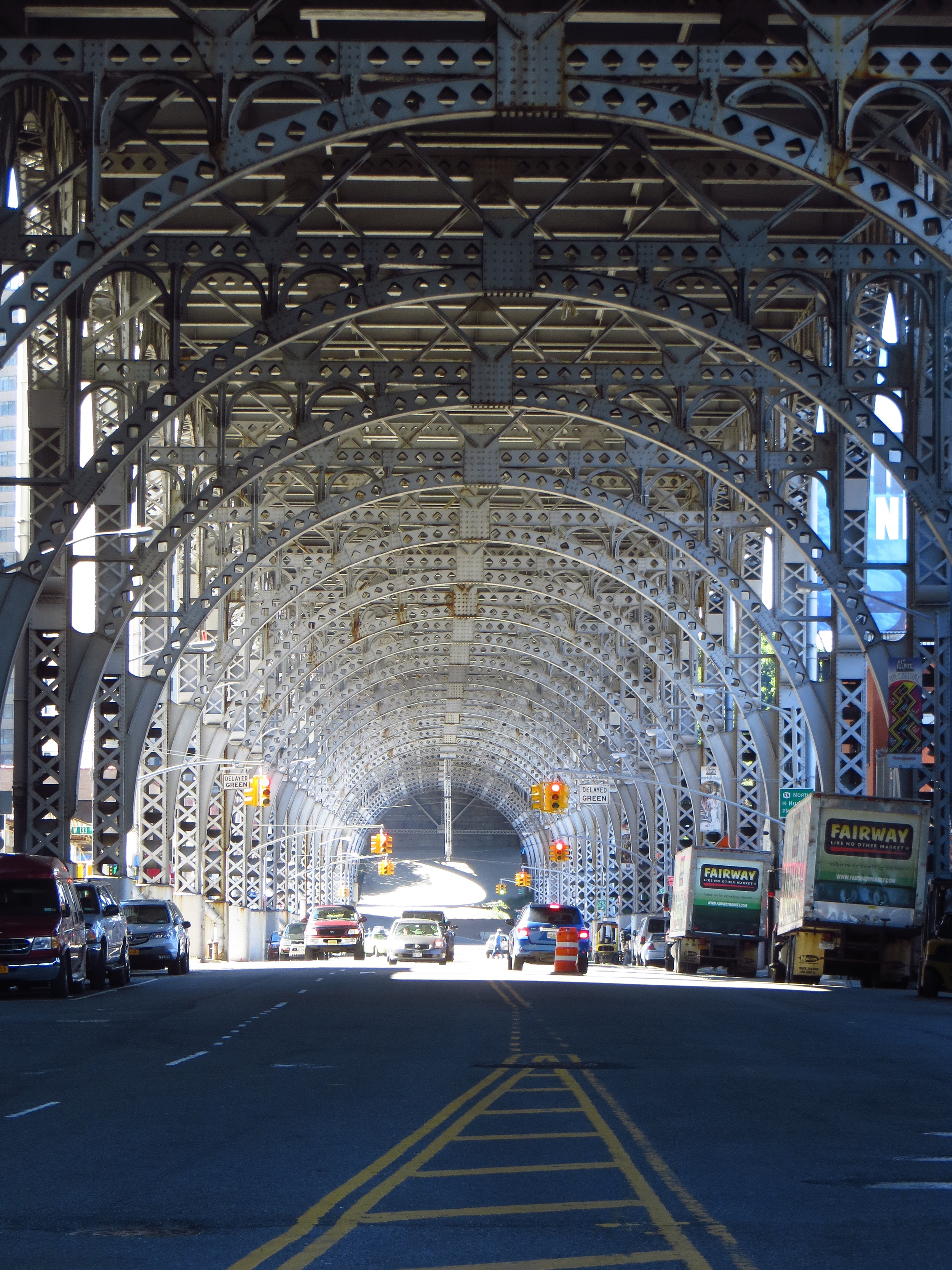
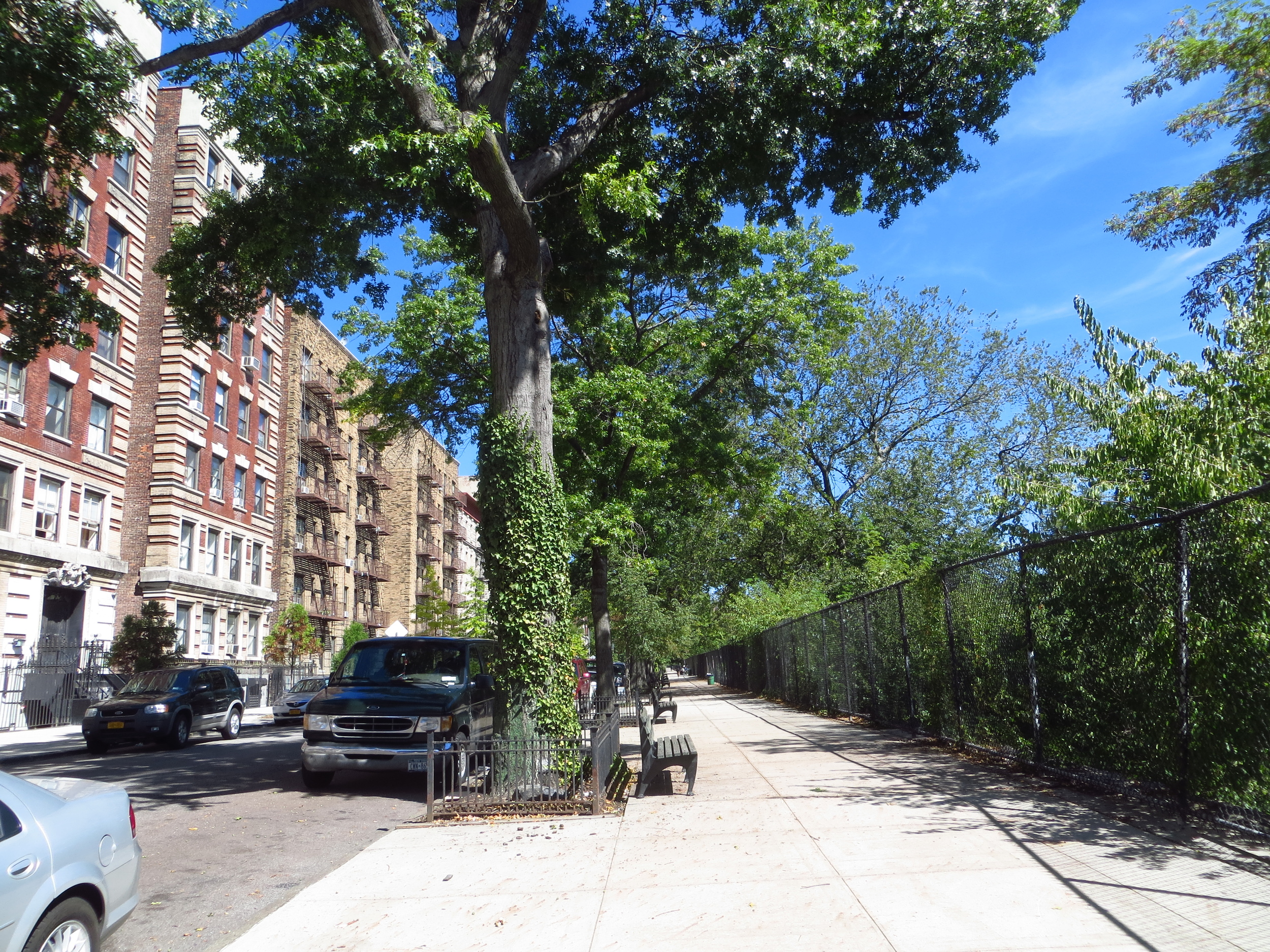
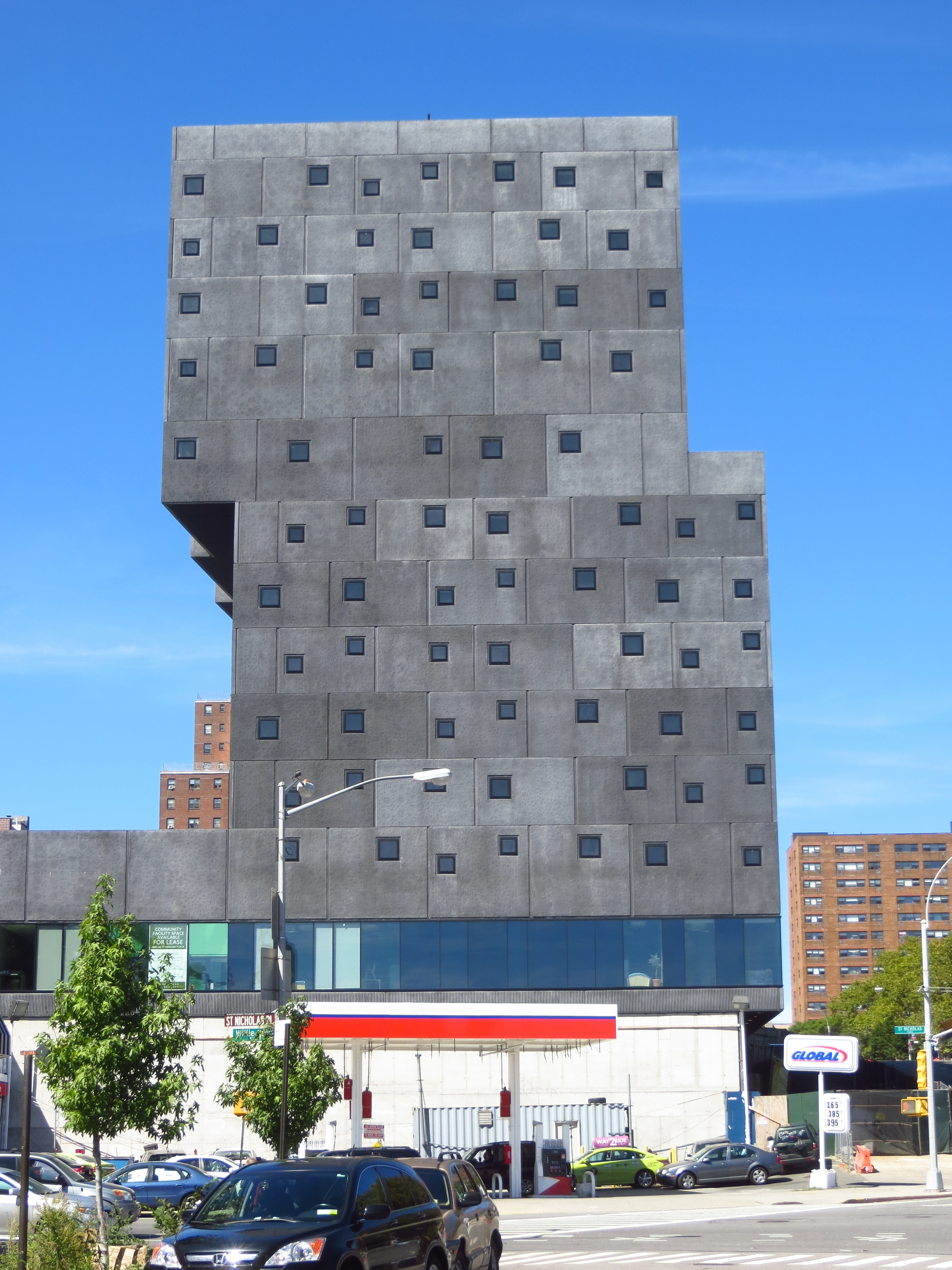
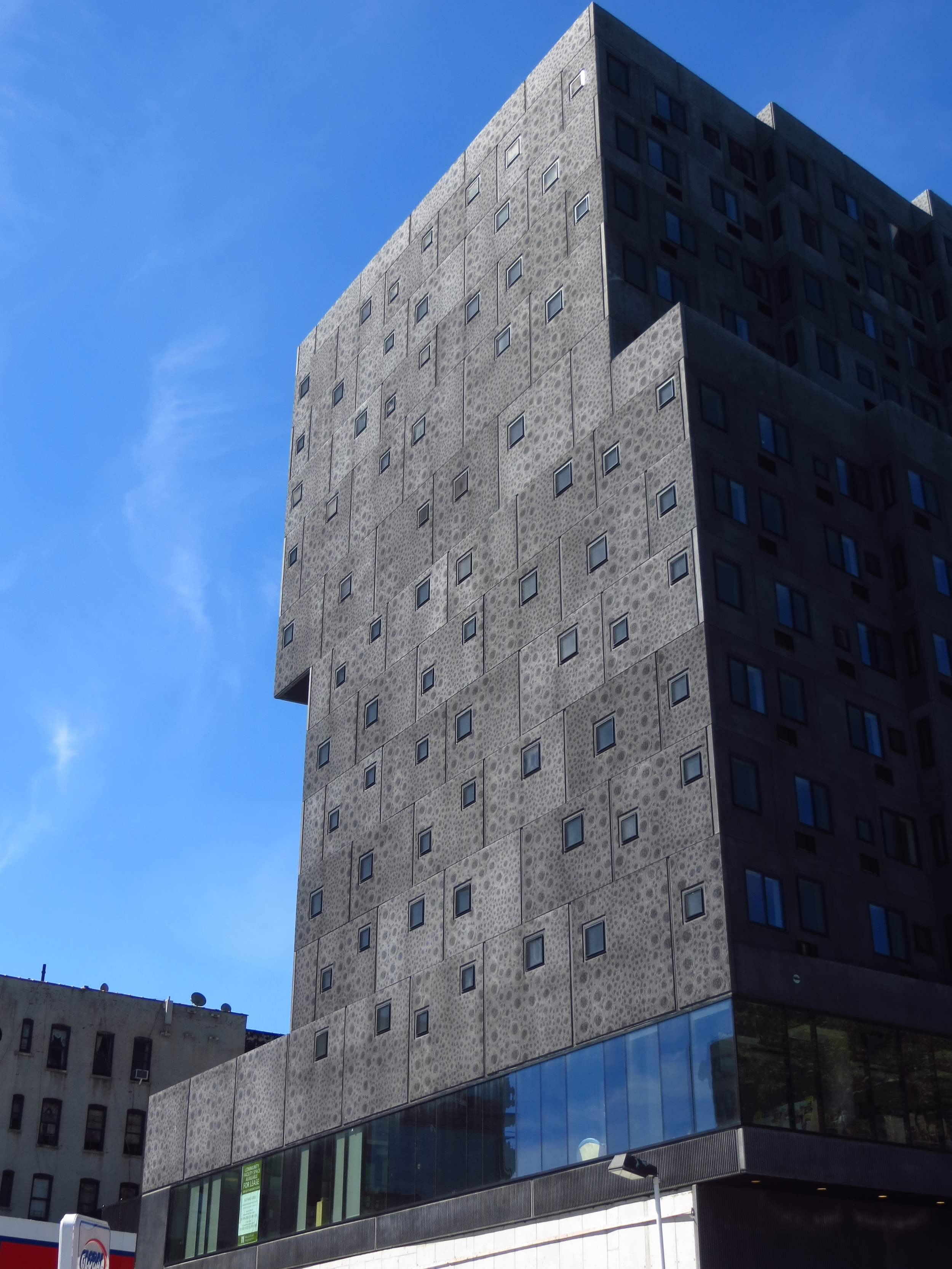
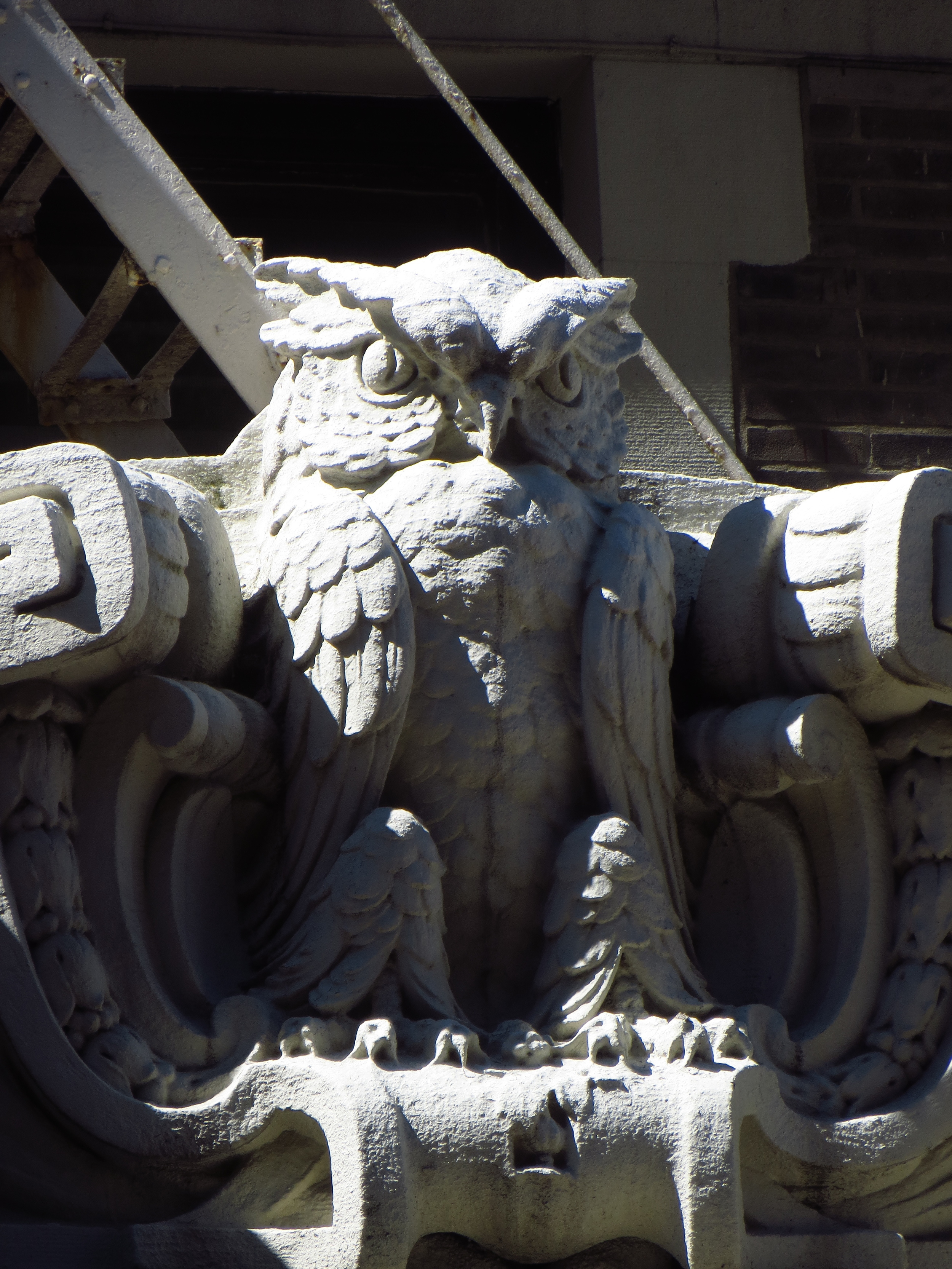
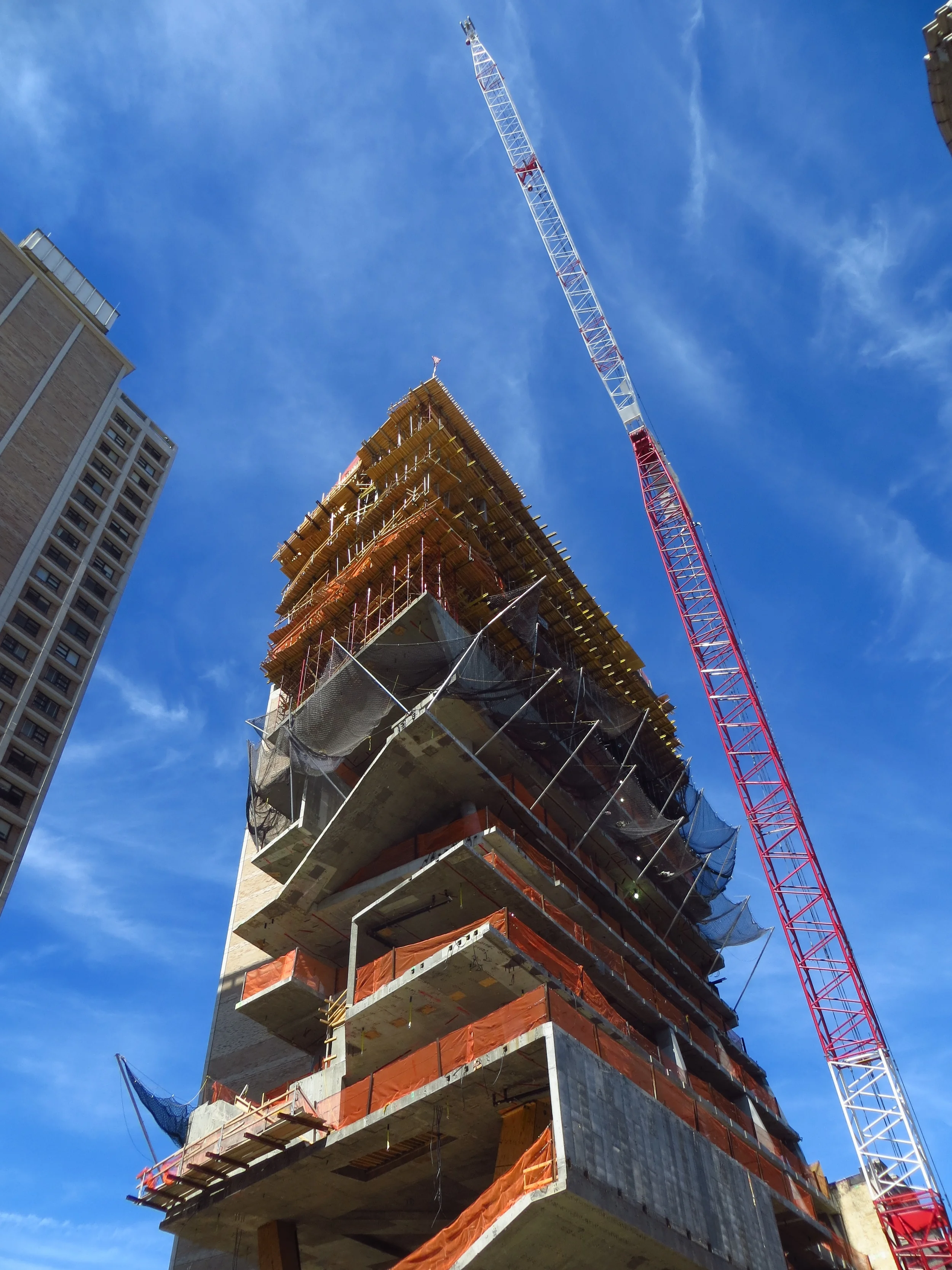
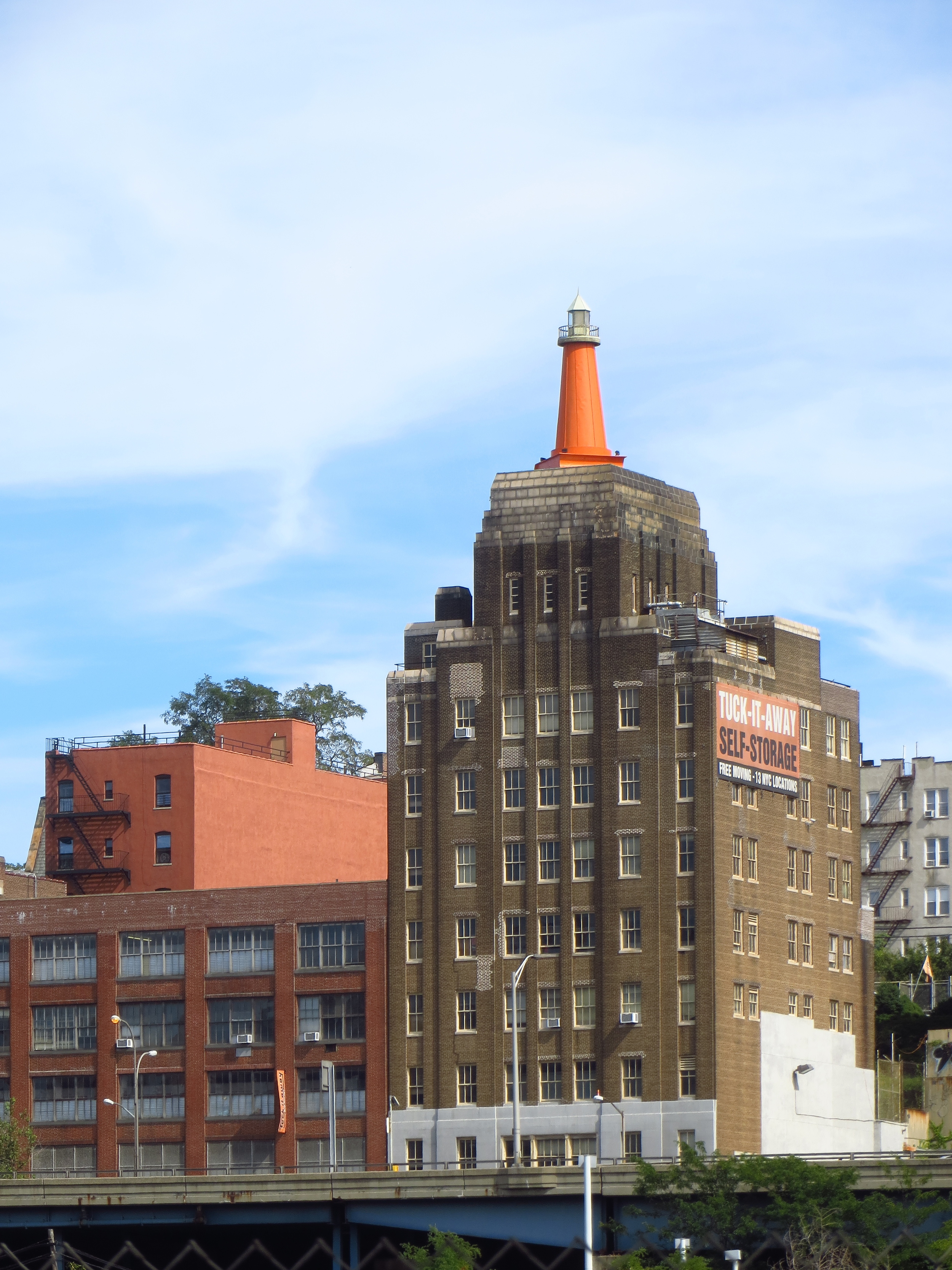
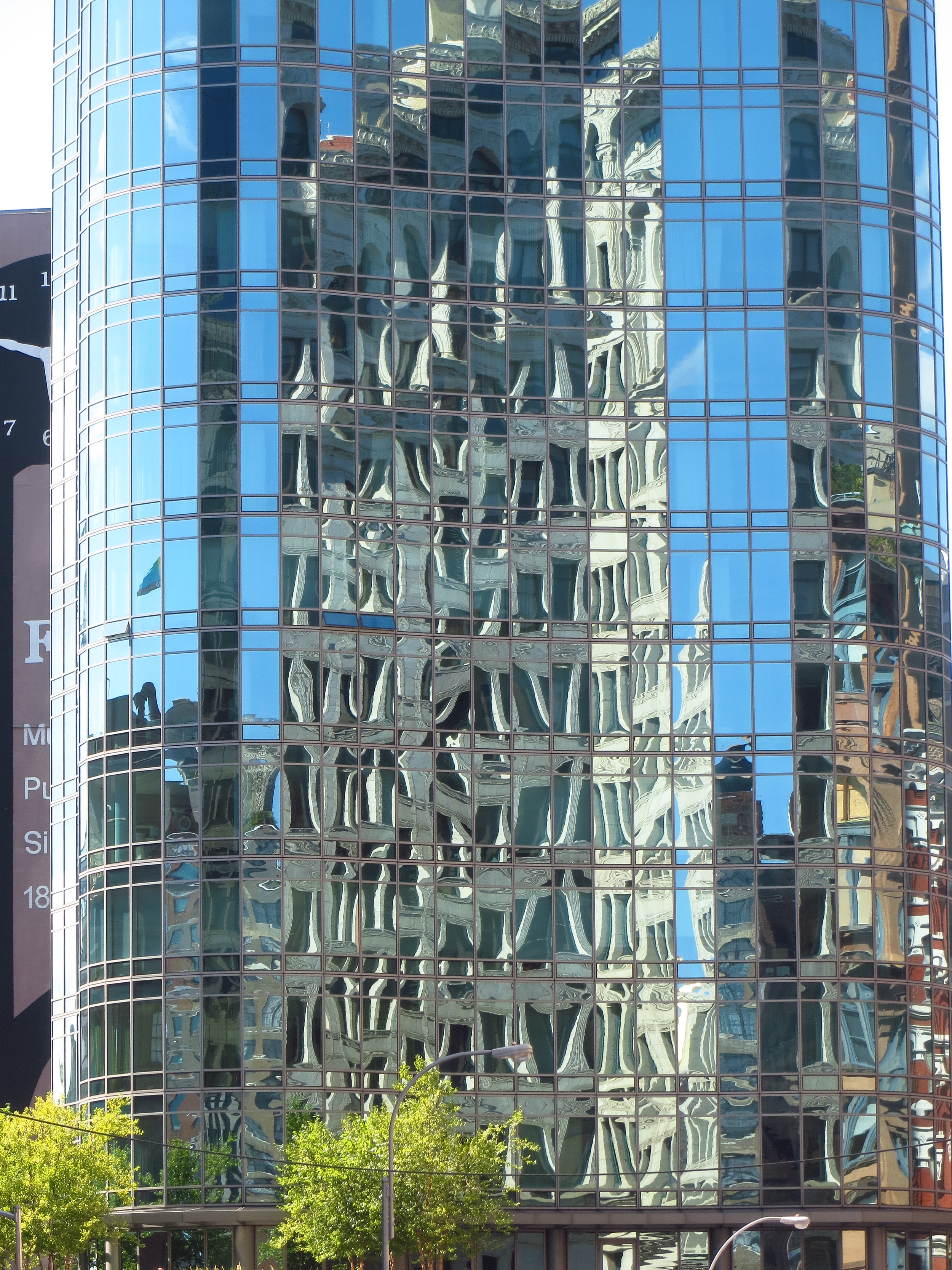
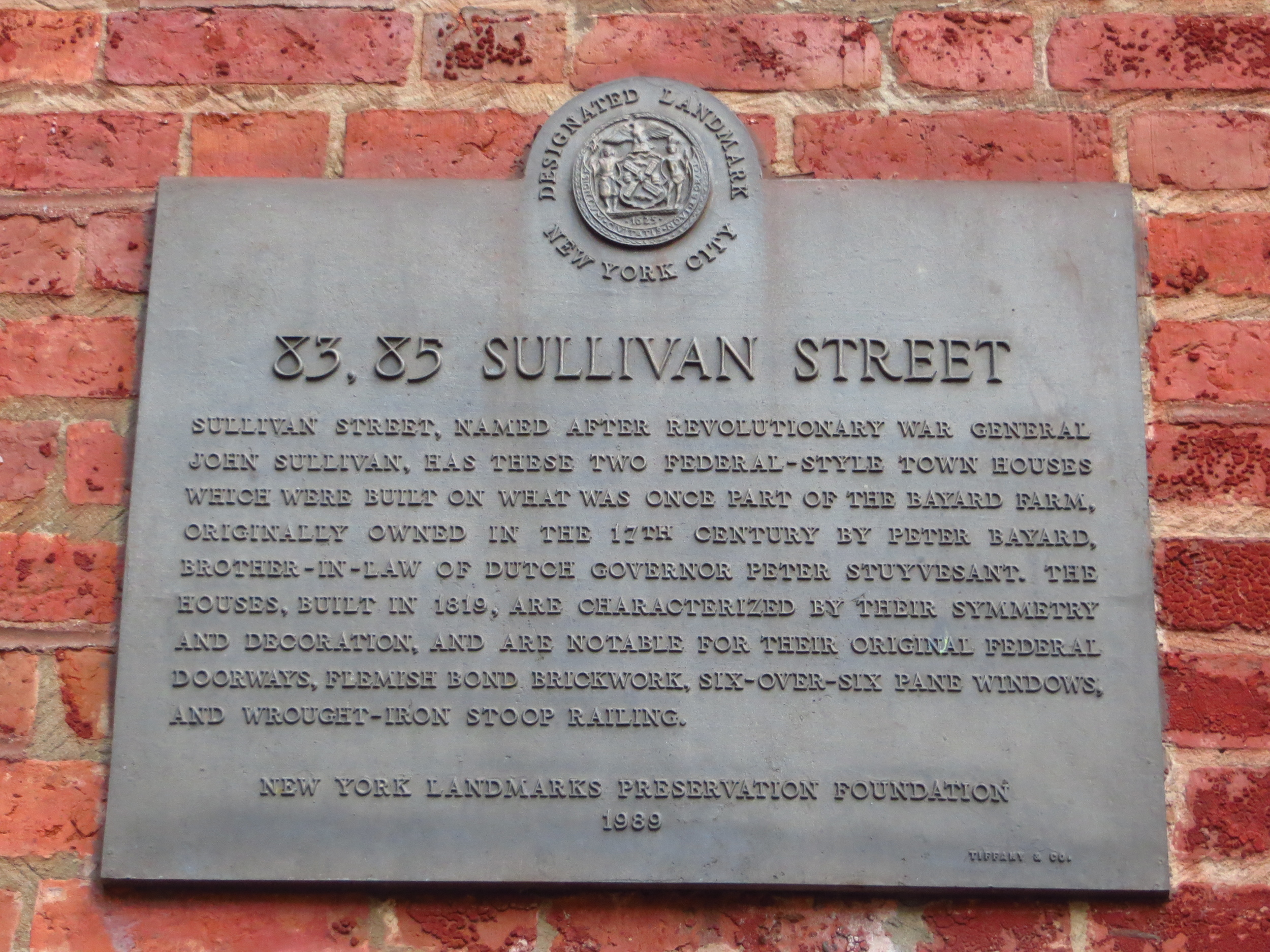
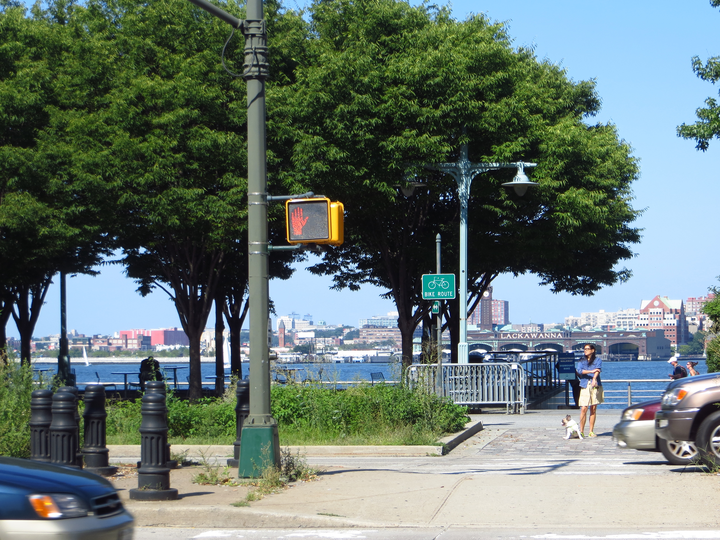
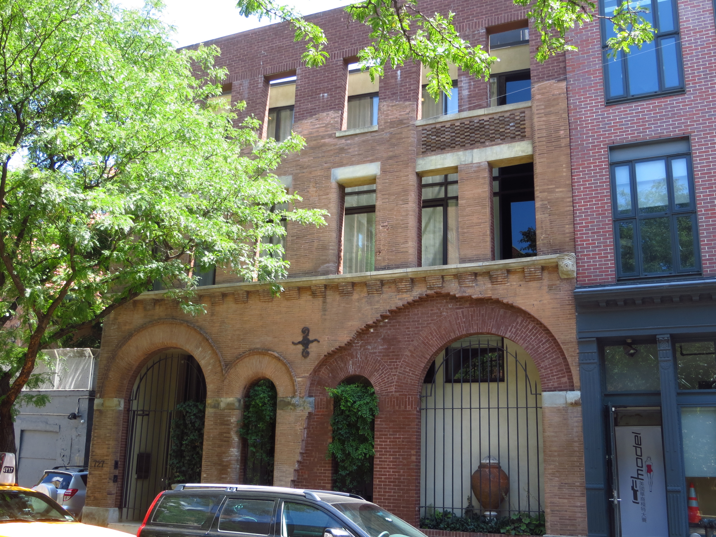
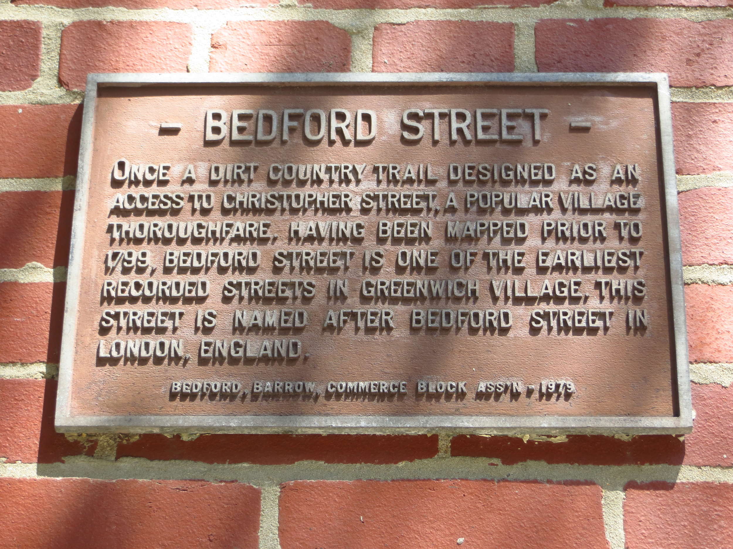
Uptown Cleanup

I did a cleanup walk uptown to finish some streets that I hadn't previously hit.  The walk itself was about 15 miles but only added 9 to the total.

Today's walk (previously un-walked sections in red)

Today's walk (previously un-walked sections in red)

I've already talked about all the neighborhoods I passed through, so I'll just skip to the pictures.

Inwood

After watching a stunning Oregon victory over Michigan State, I went to the very northern tip of Manhattan to walk the neighborhood of Inwood.  It was about 16 miles, but because of all the doubling back required I think it only added about 11 to the total.

Today's walk (everything inside the red line)

Today's walk (everything inside the red line)

For the most part the residential/commercial blocks of Inwood (the area west of 10th Ave. and east of Inwood Hill Park) look and feel like Washington Heights.  The area east of 10th Ave. is mostly municipal warehouses (bus barns and the like) and some food/beverage distributors.  Inwood Hill Park makes up the western third of the neighborhood.  It contains the last remaining natural forest land on Manhattan and is said to be the place where Peter Minuit bought (more likely leased) the island from the Lenape Indians in 1626.

Along the way I stopped for some food at La Marina, a restaurant at the western end of Dyckman St.  It's a nice space, the food is good (and reasonably priced) and you get panoramic views of the Hudson, the Palisades, and the George Washington Bridge to the south.  Highly recommend if you're looking for an excuse to make it up to Inwood.

Lower East Side

I spent Labor Day walking around the Lower East Side ("LES").  It was about 15 miles in total and I think I passed the halfway point of the project (254 miles) along the way.

Today's walk

Today's walk

The LES was traditionally a working-class / immigrant neighborhood.  [Sidebar: That's not very descriptive though, is it?  I mean, with only a few exceptions, most areas of Manhattan were immigrant neighborhoods at one time or another, and probably working-class too.  In 1910, when Manhattan's population peaked at 2.3 million (it's about 1.6  million today), 41% of New Yorkers were foreign born.  By default that would have given a lot of neighborhoods at least some immigrant character.  Sidebar over.]

The LES in particular though was known for its crowded, squalid tenements.  In 1884 there were 334,000 people in a single square mile of the LES, making it the most densely populated place in the world (compare that with about 50,000 per square mile in Manhattan today).  The old tenement buildings still remain, but I'm pretty sure that indoor plumbing and other modern amenities have been added to most of the apartments.  For a view of what it used to be like, you can visit the Tenement Museum at Orchard and Delancey (I've never been, but I hear it's cool).

Chinatown (to the west) has grown and now extends into the western streets of the LES.  You see a lot of Chinese restaurants and businesses in the area and the fish markets give you an idea of what the neighborhood might have smelled like in the tenement era.

The area is also home to the three bridges connecting Manhattan to Brooklyn.  From north to south, they are the Williamsburg Bridge (1,600 ft. span / opened 1903), Manhattan Bridge (1,480 ft span, opened 1909), and the Brooklyn Bridge (1,596 ft. span / opened 1883).

Washington Square and SoHo

College football starts next week (Go Ducks!), so I thought it might be a good idea to get in a long walk this weekend.  I went through a lot of neighborhoods, but to keep it simple let's just say I did the Washington Square side of Greenwich Village and SoHo.  In all it was a little over 21 miles.  In the gallery below I also included some streets that I walked back on February 20 (they're the ones where everyone is sad and there's snow everywhere).

Today's walk (everything inside the red lines, 02/20/2014 portions in blue)

Today's walk (everything inside the red lines, 02/20/2014 portions in blue)

Washington Square
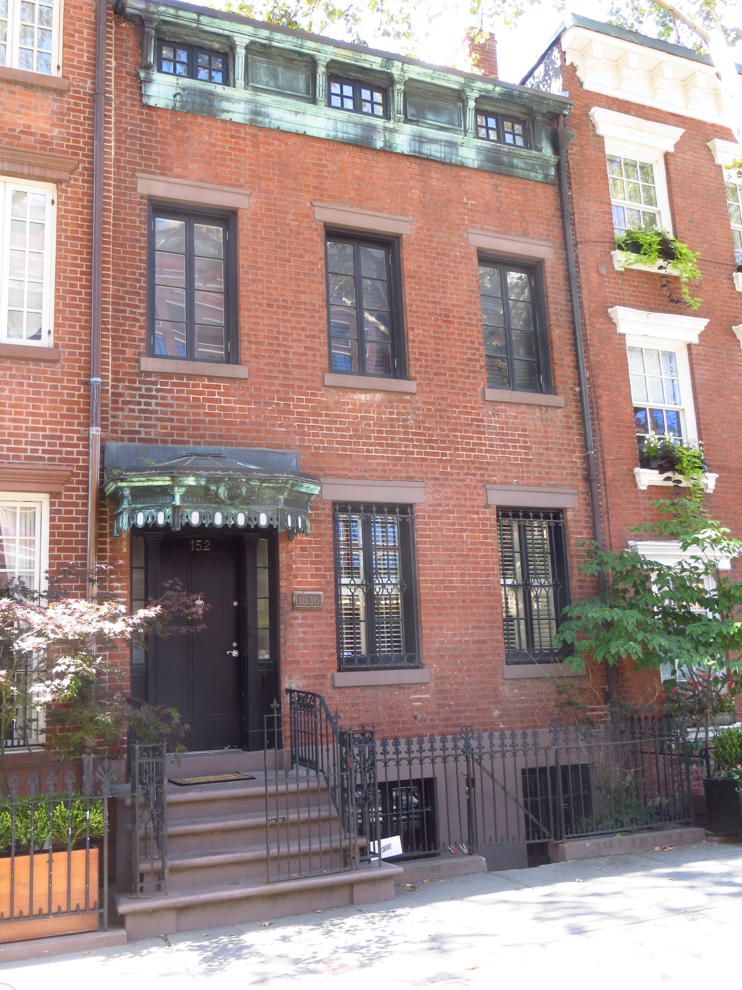
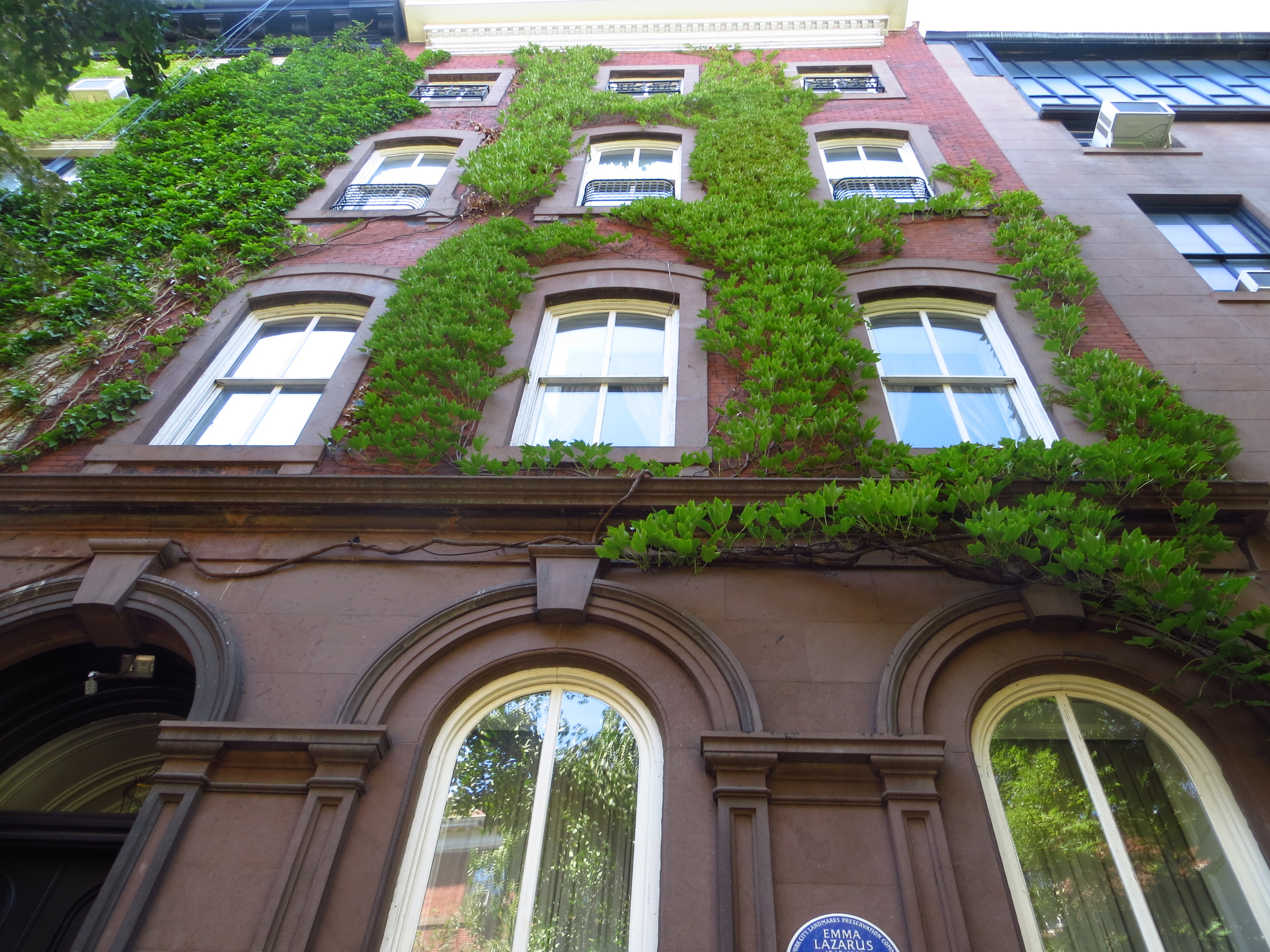
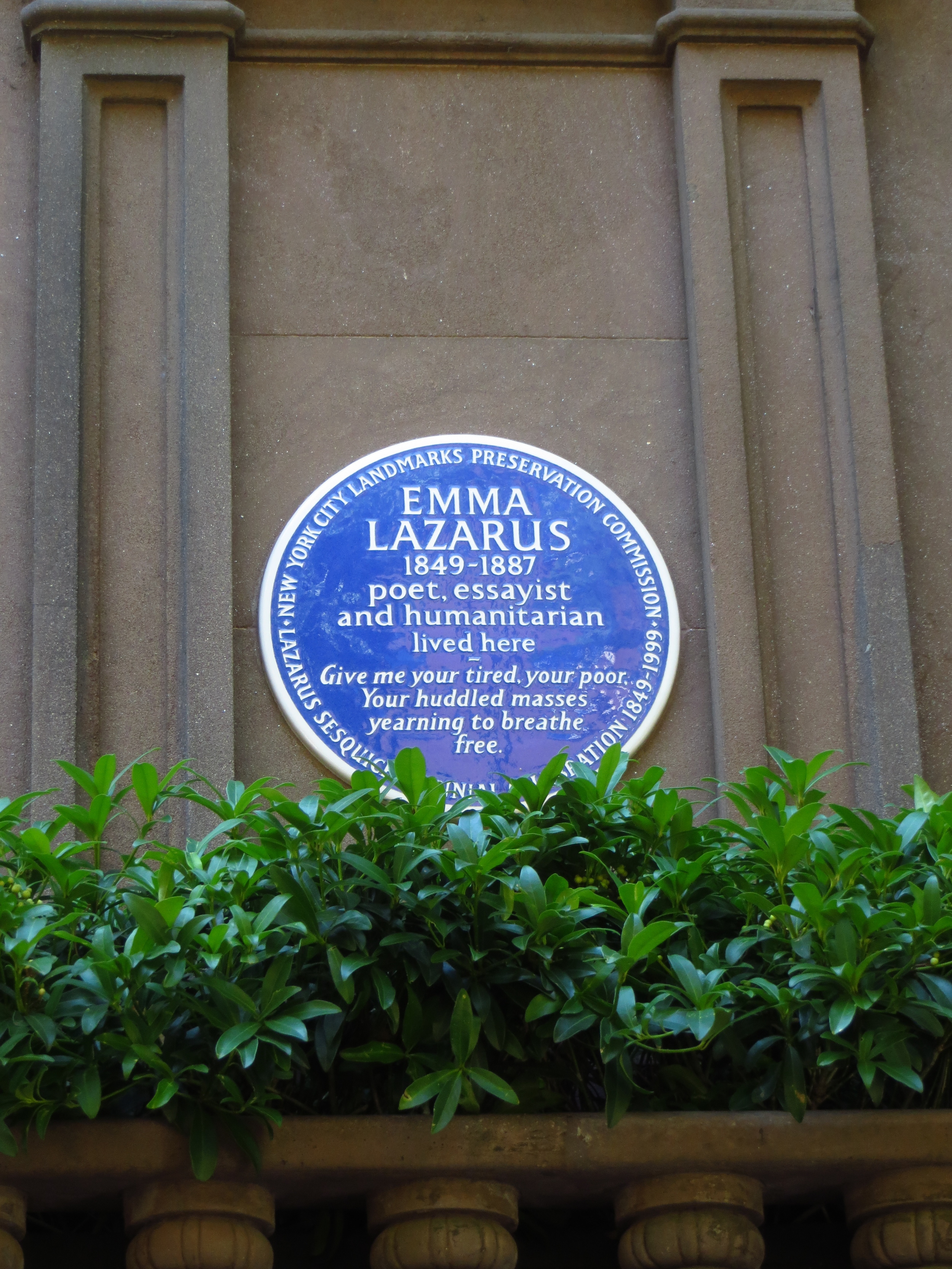
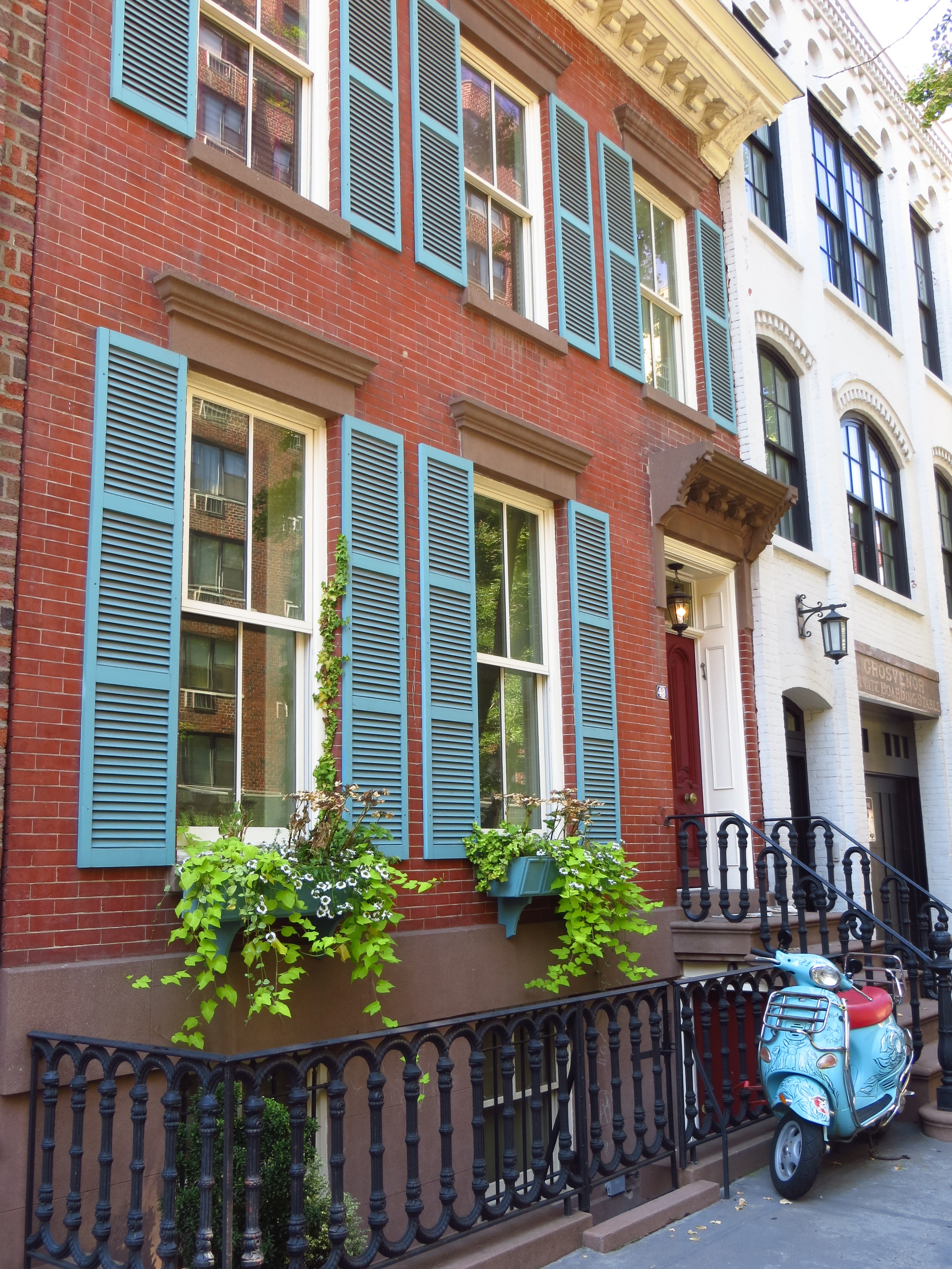
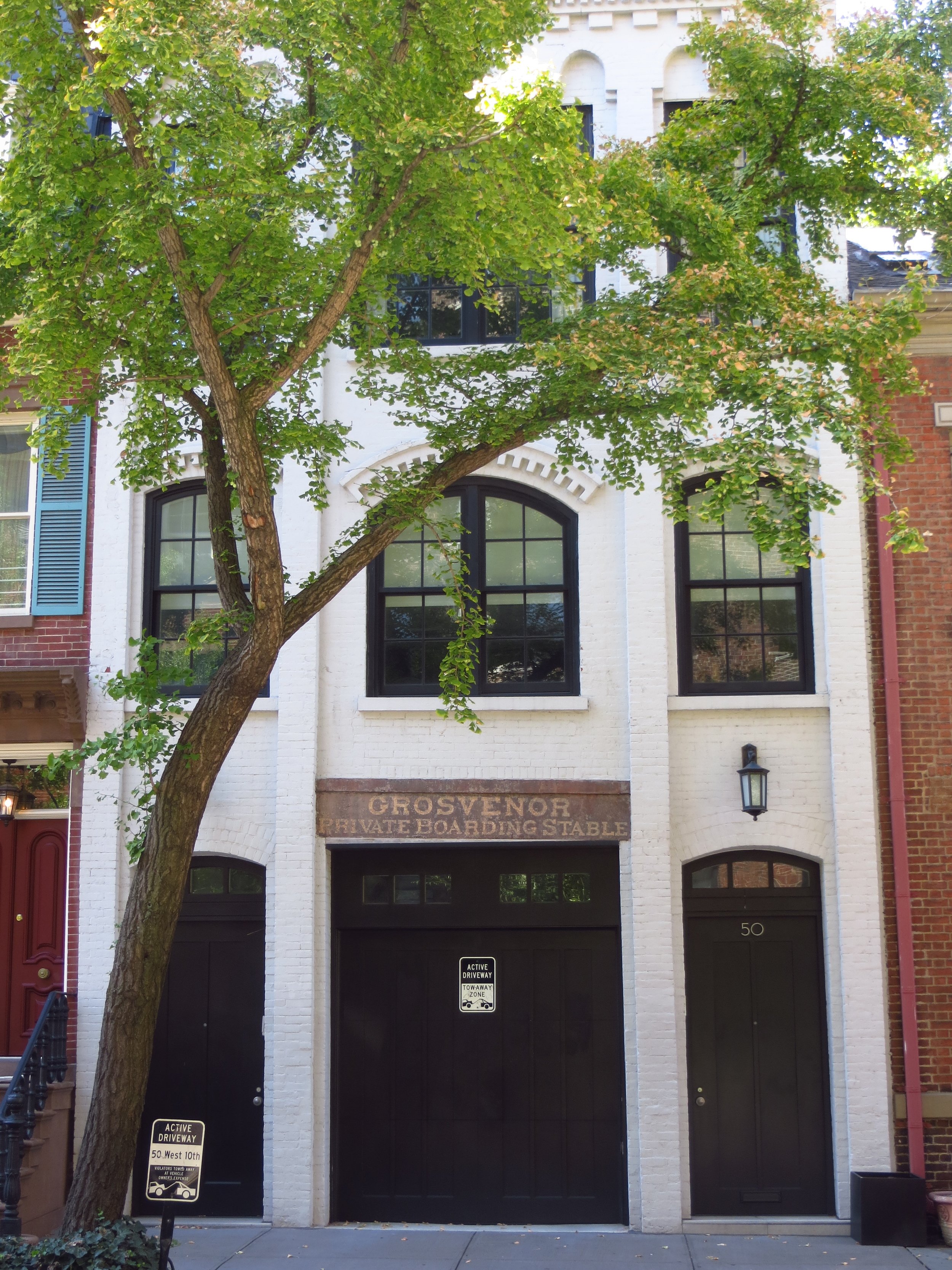
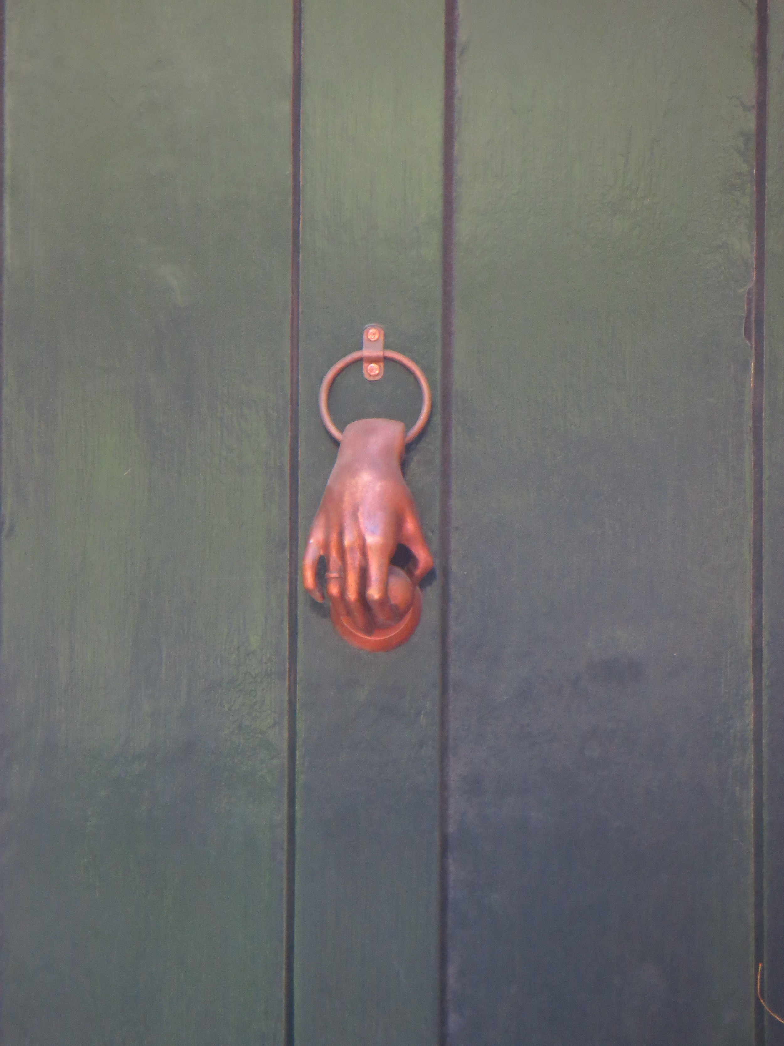
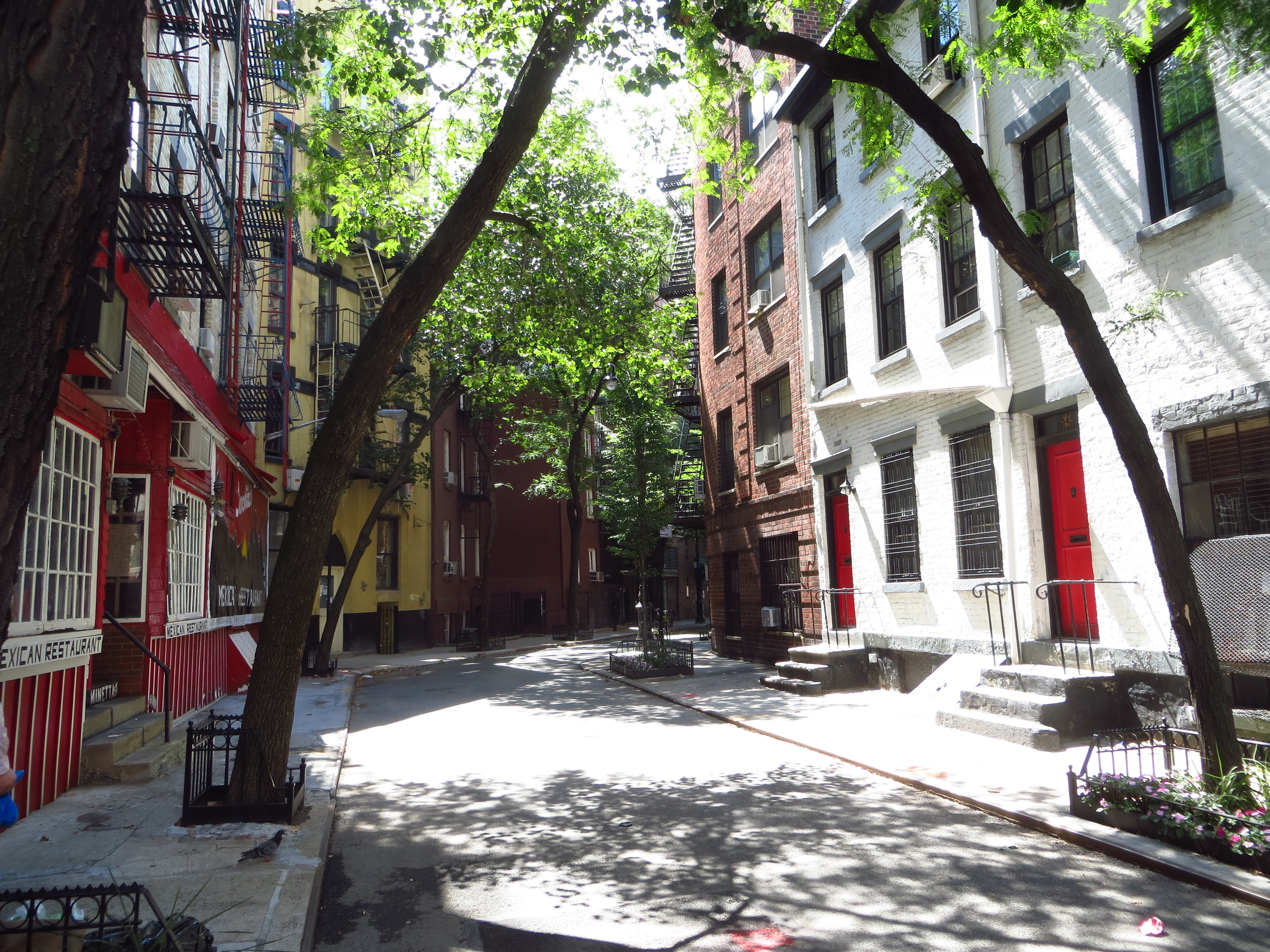
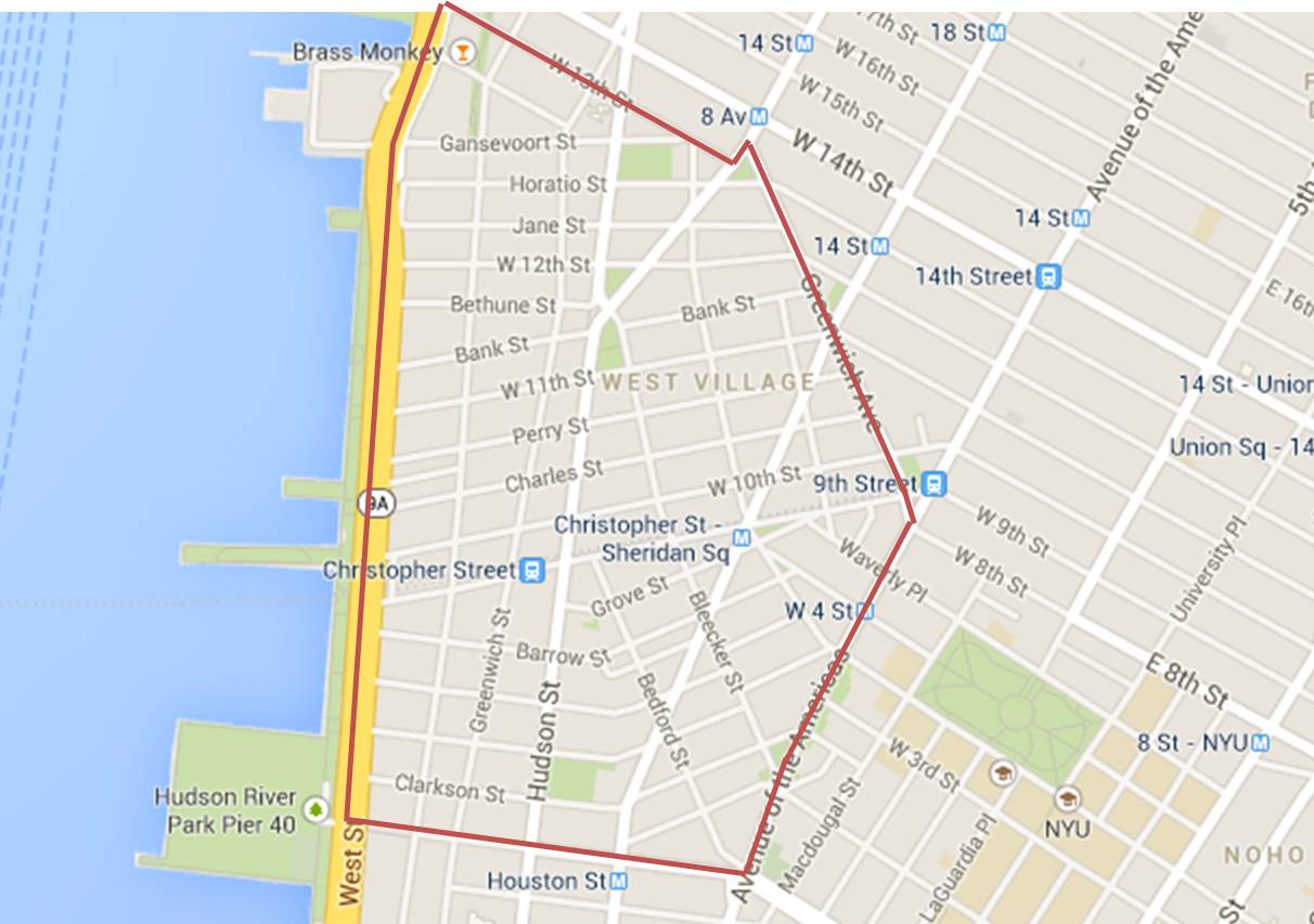
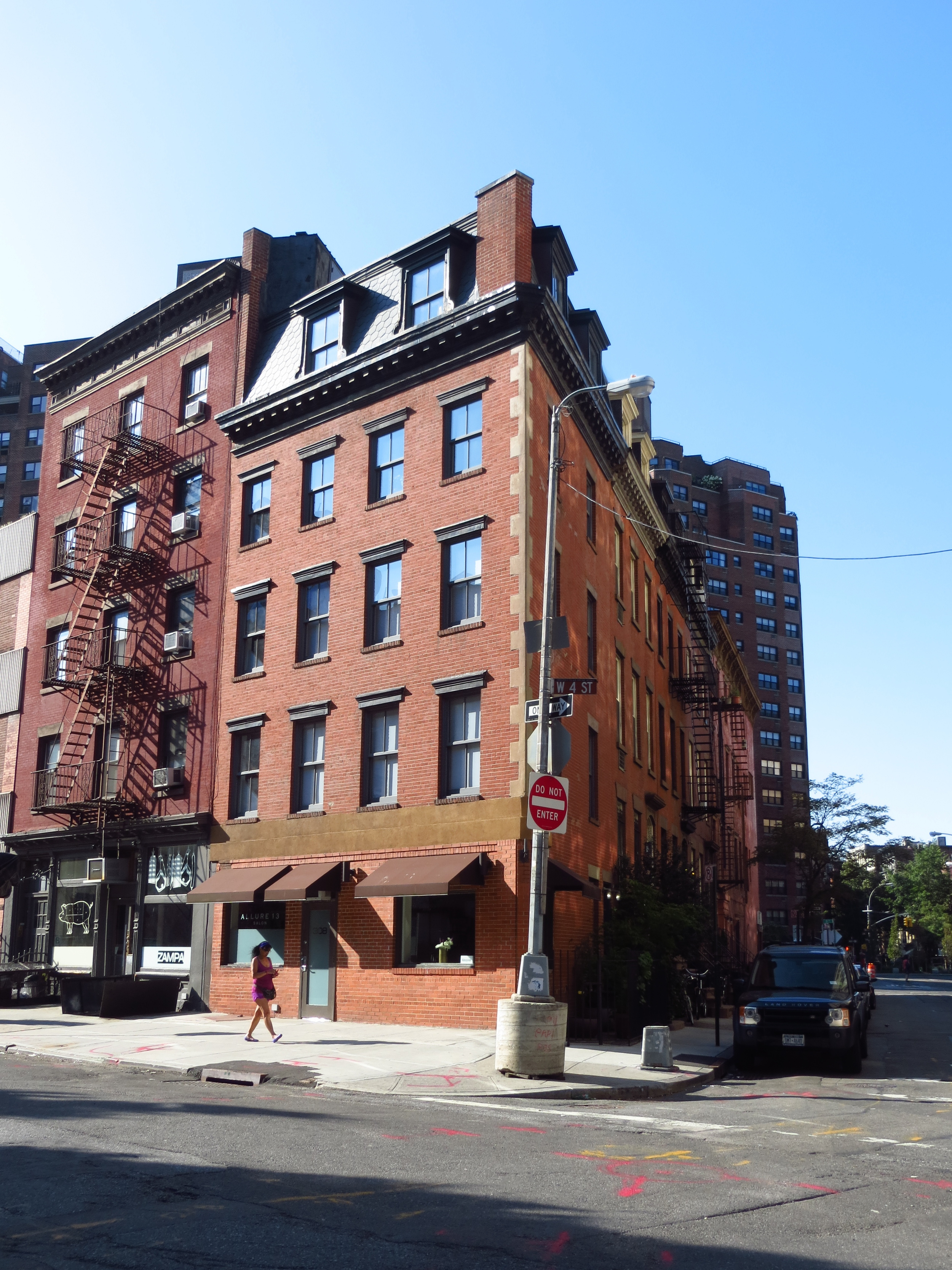
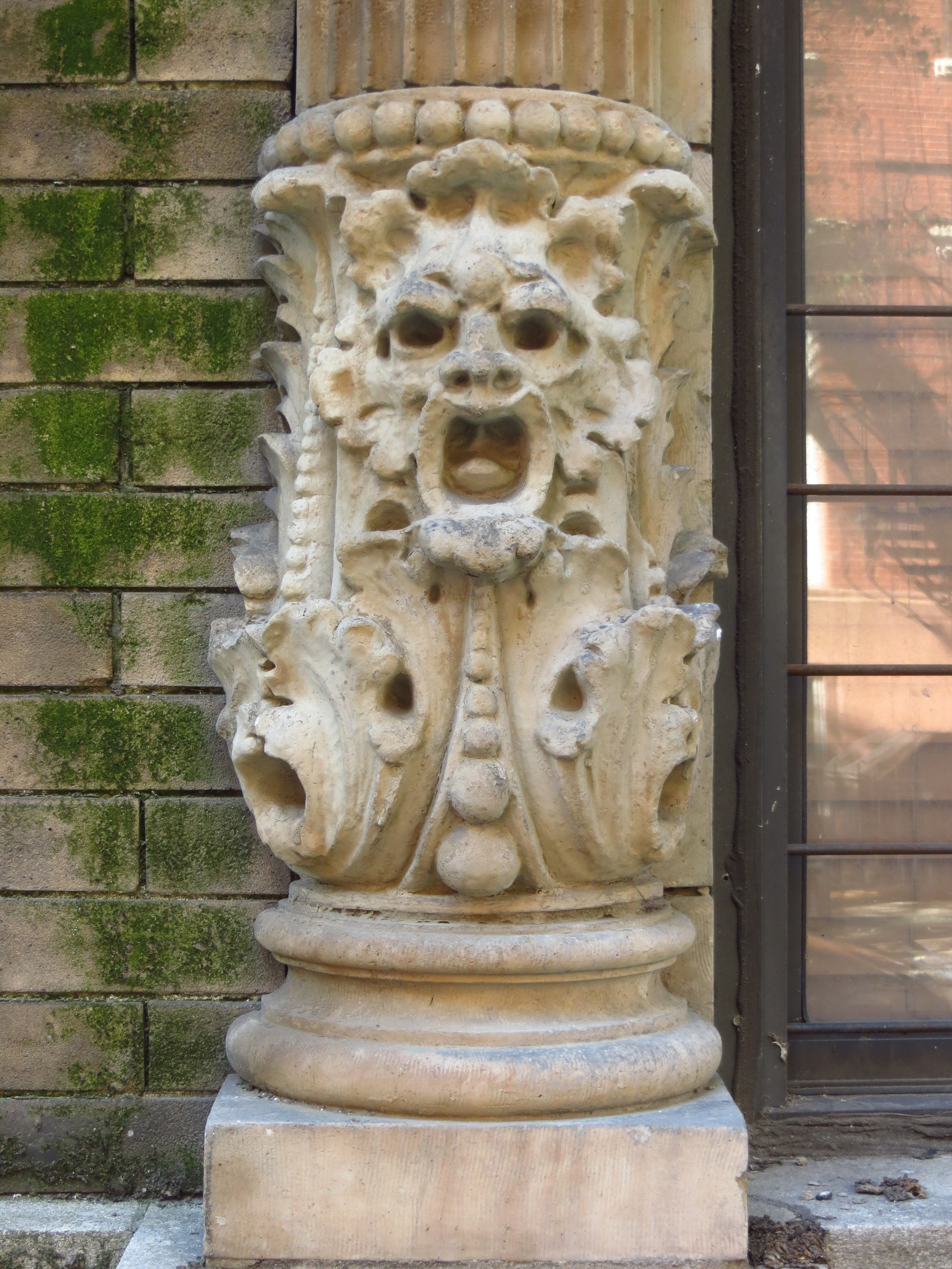
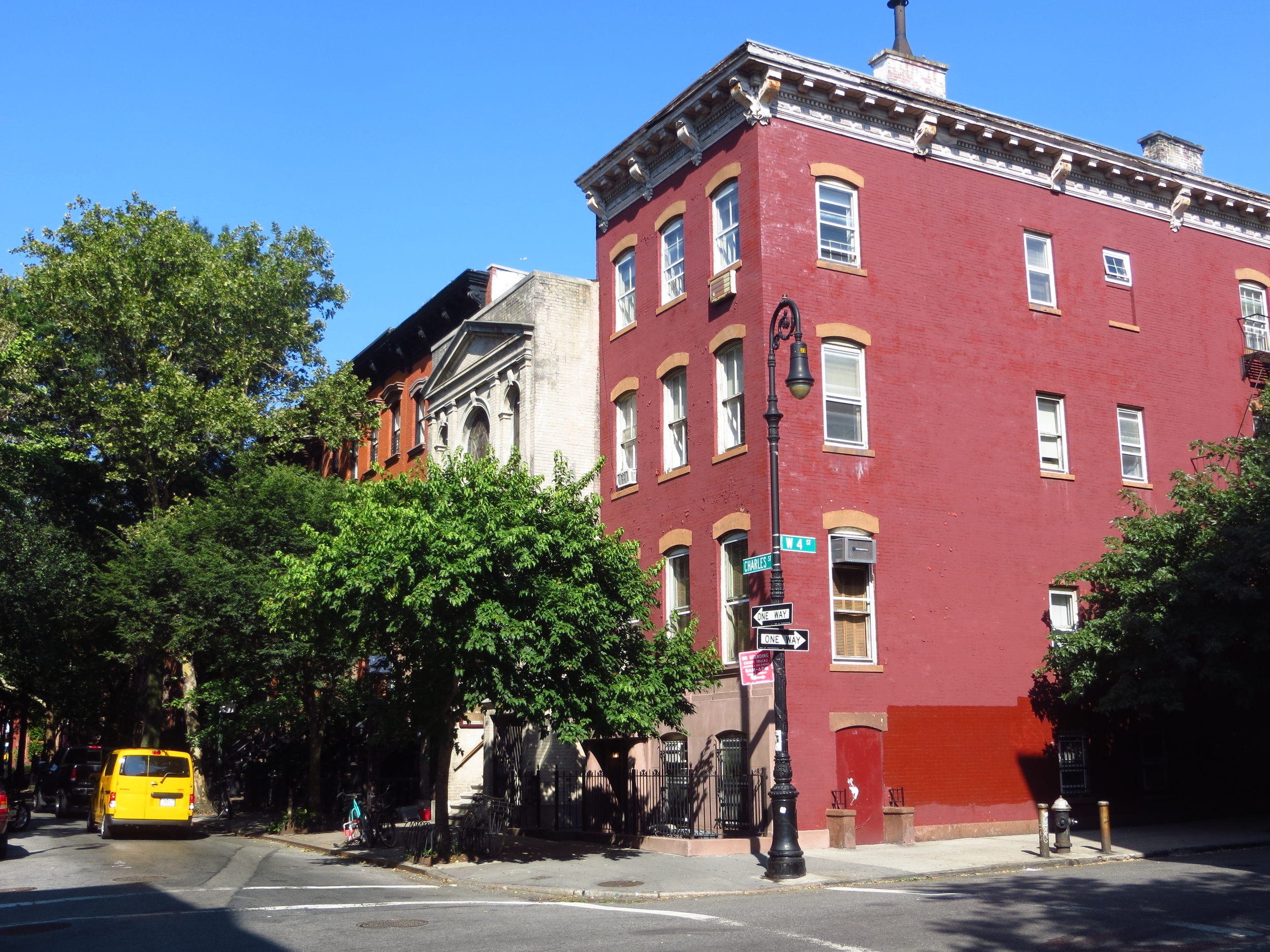
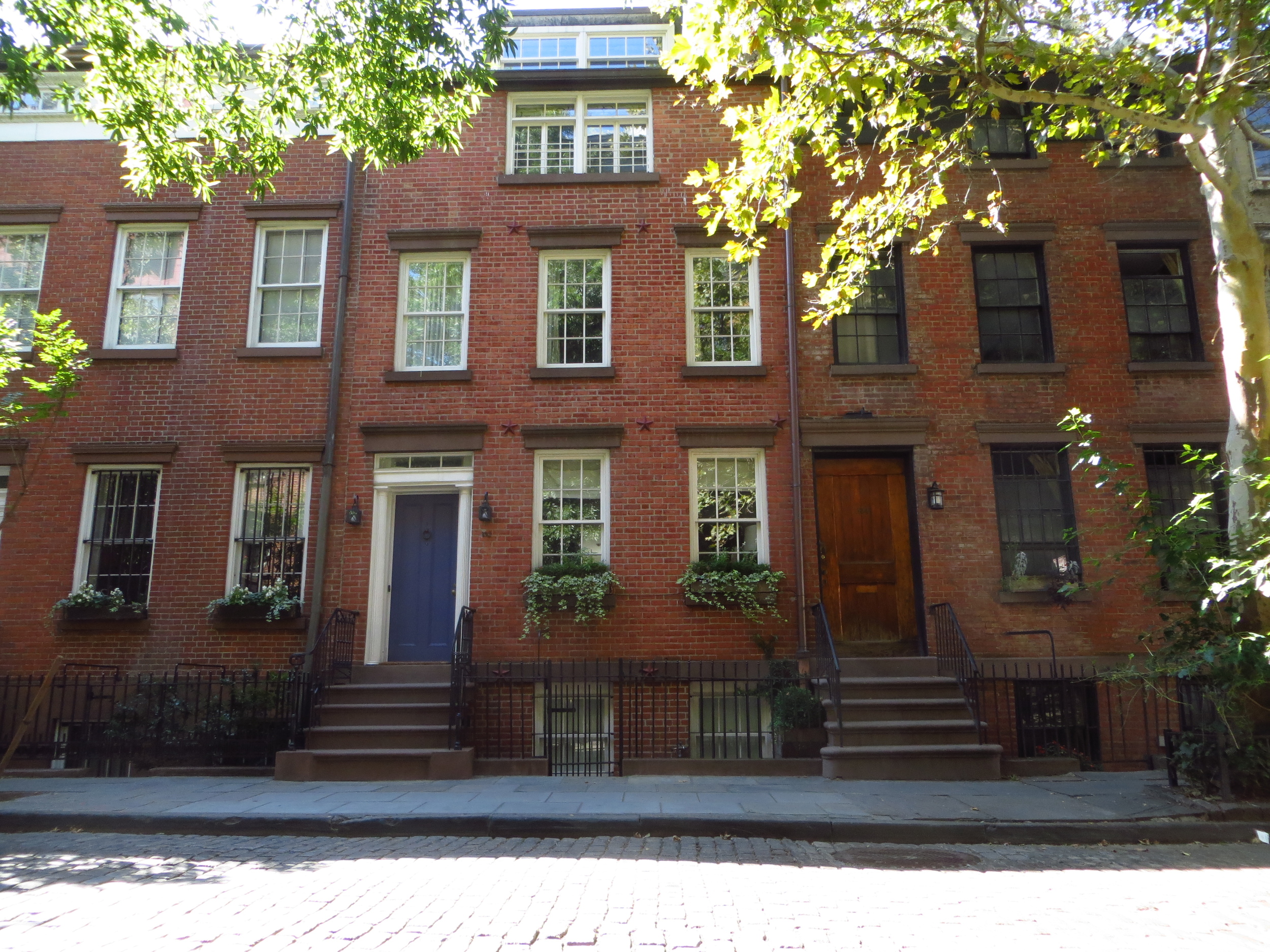
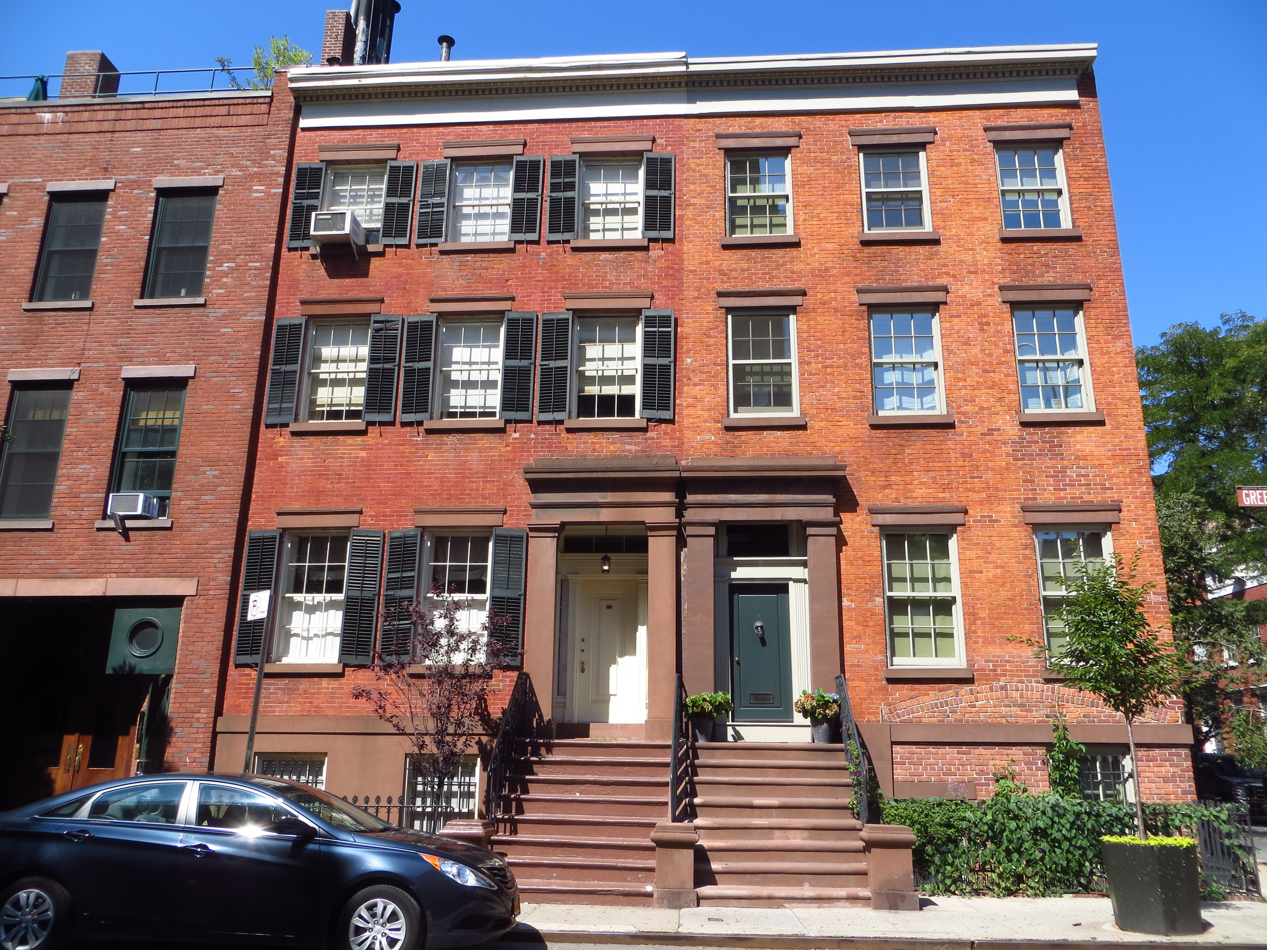
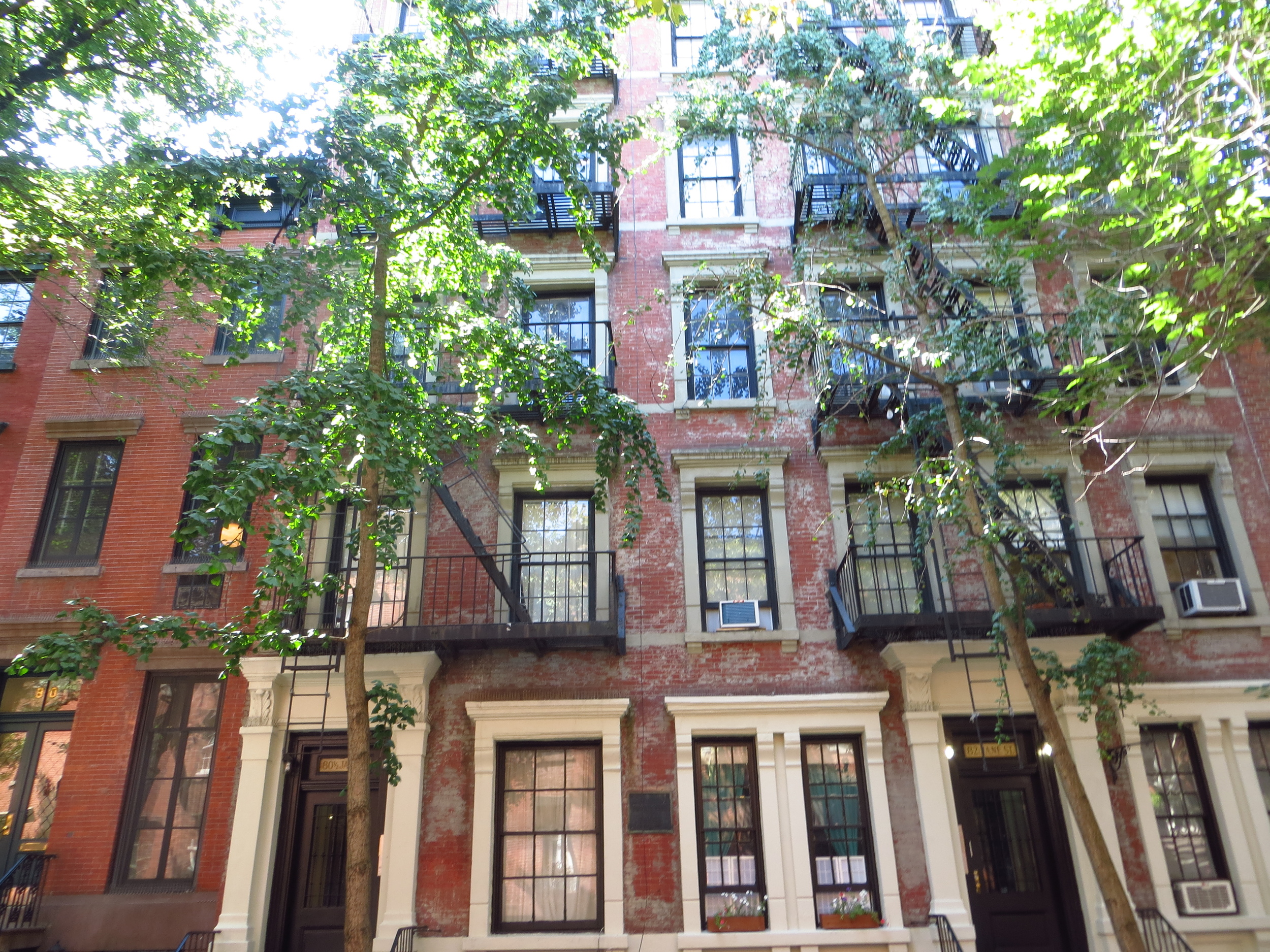
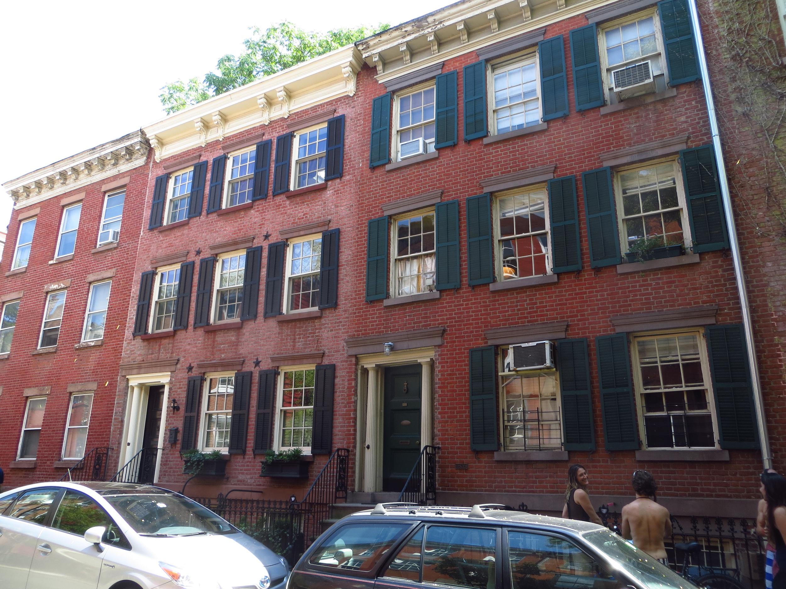
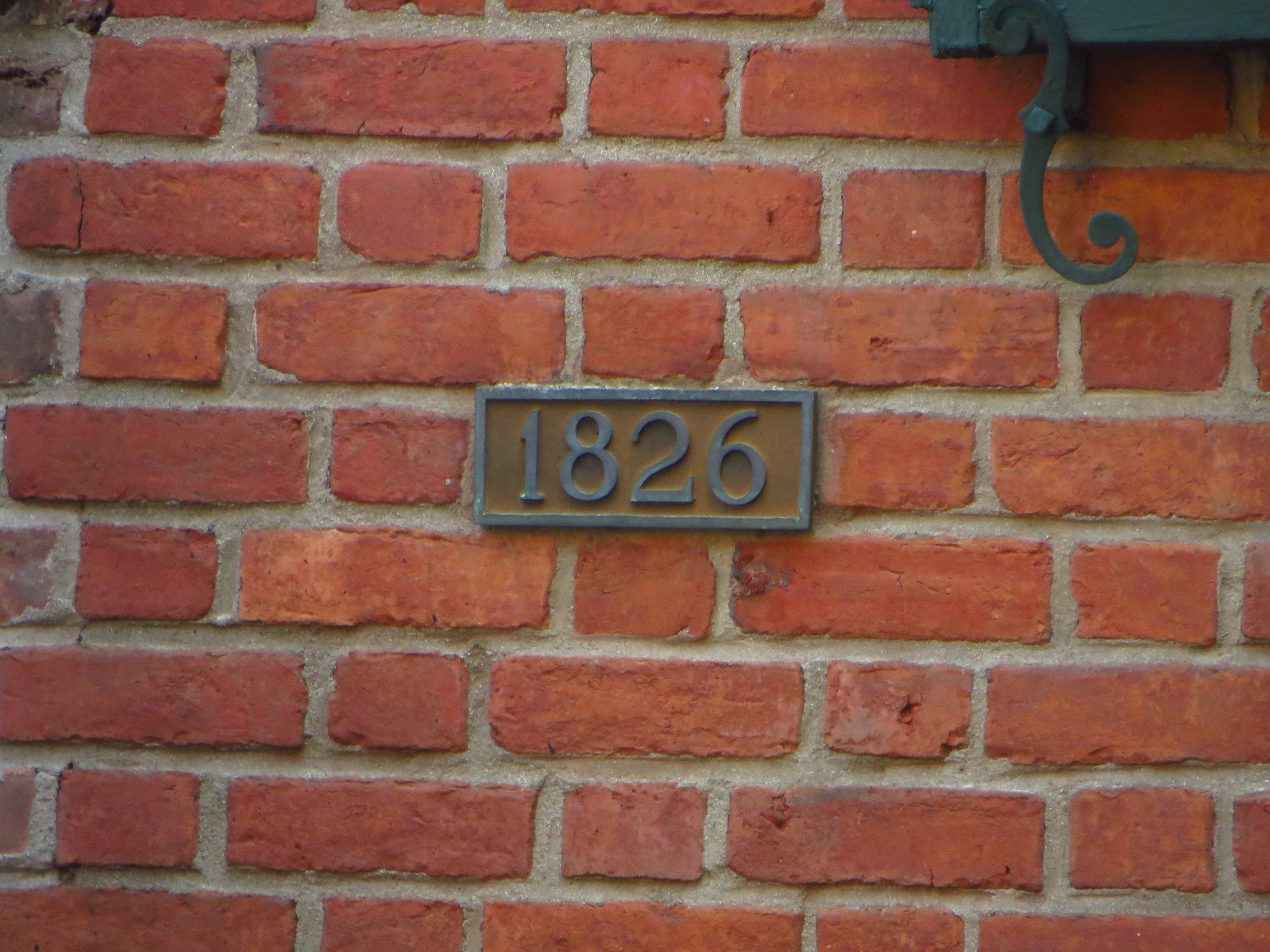
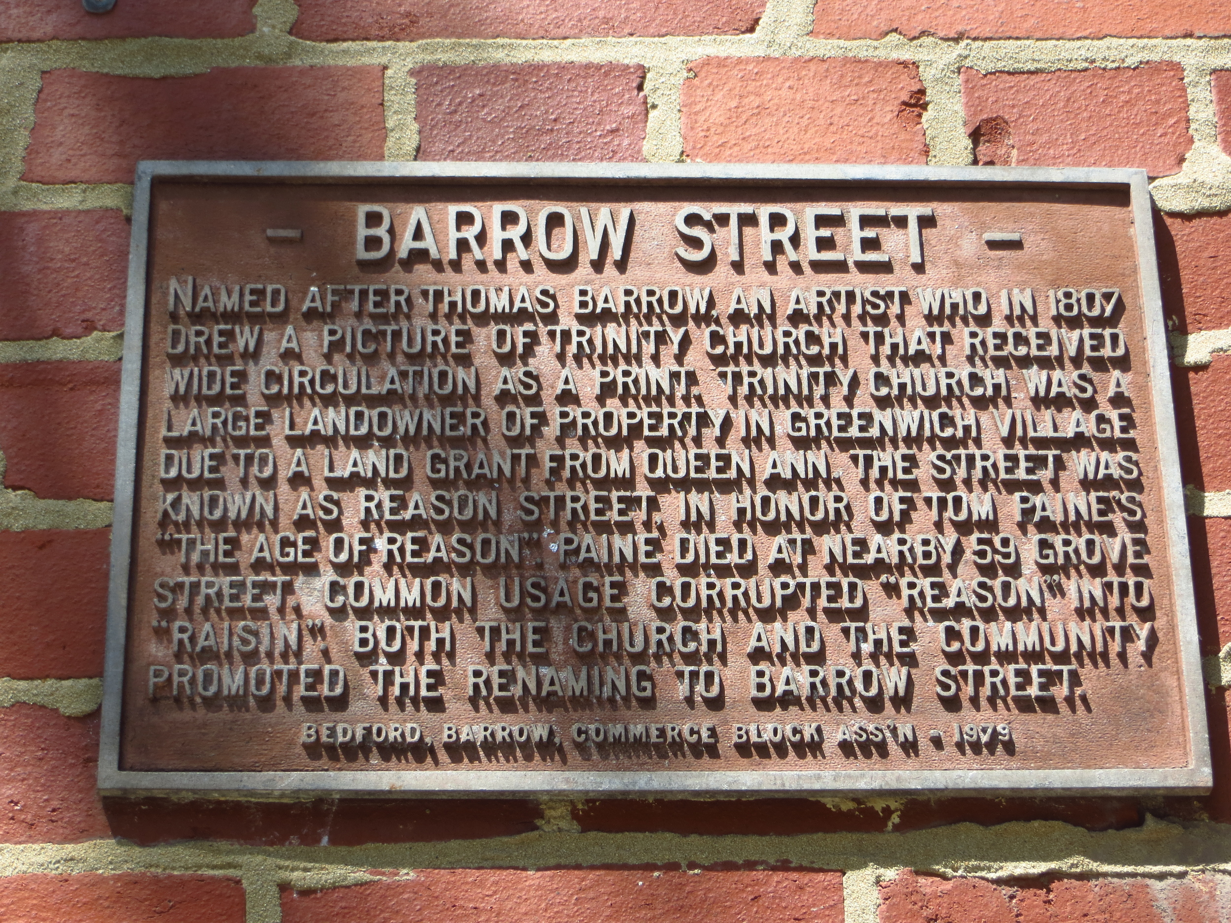
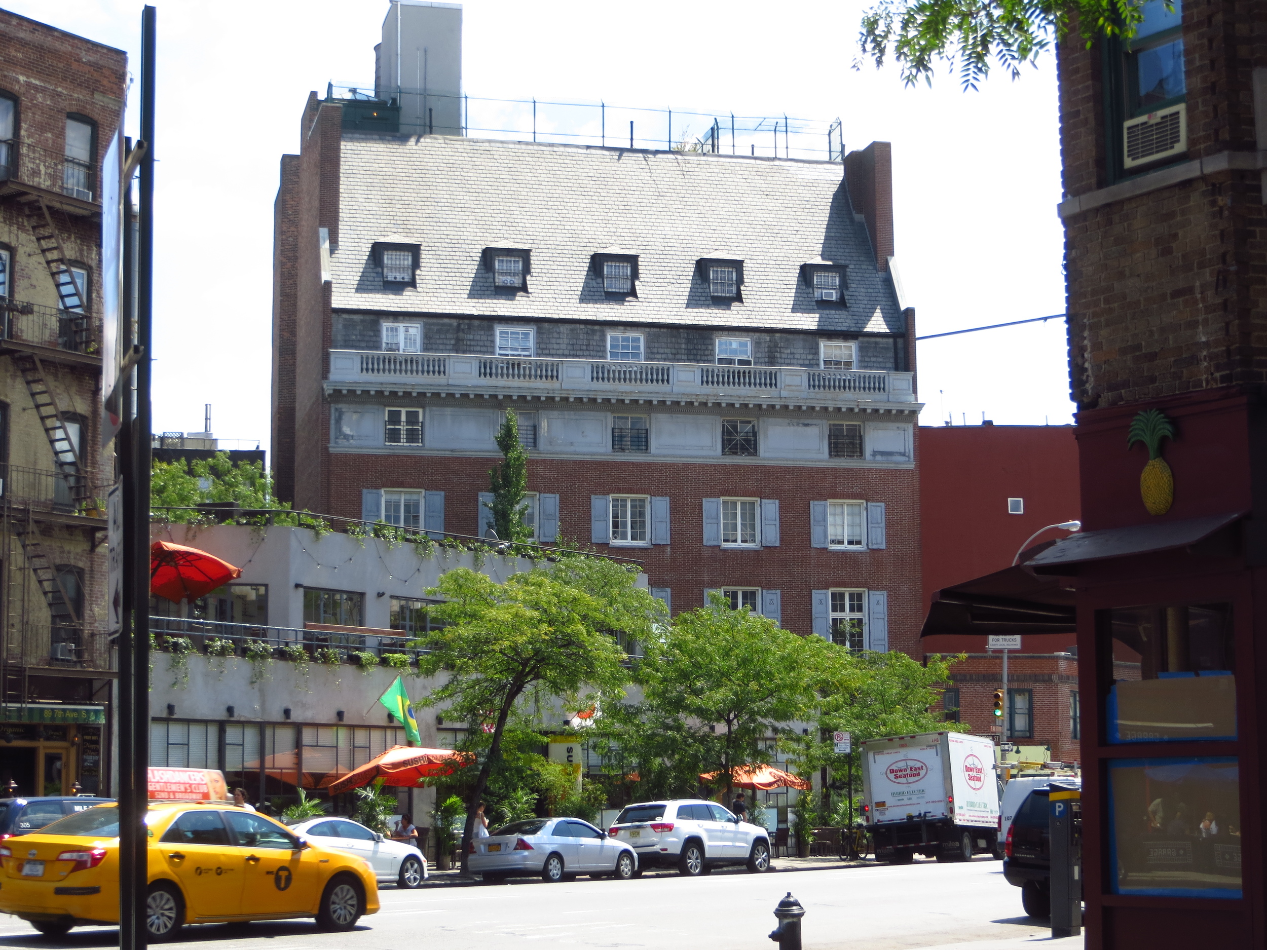
Greenwich Village was once a small town north of Manhattan that was eventually engulfed by the city as it grew north.  It is usually divided into two portions: the West Village (the non-grid conforming area west of Greenwich Ave. / 6th Ave.) and the Washington Square / NYU neighborhood.  As suggested, the primary landmarks of this neighborhood are Washington Square Park and NYU.  

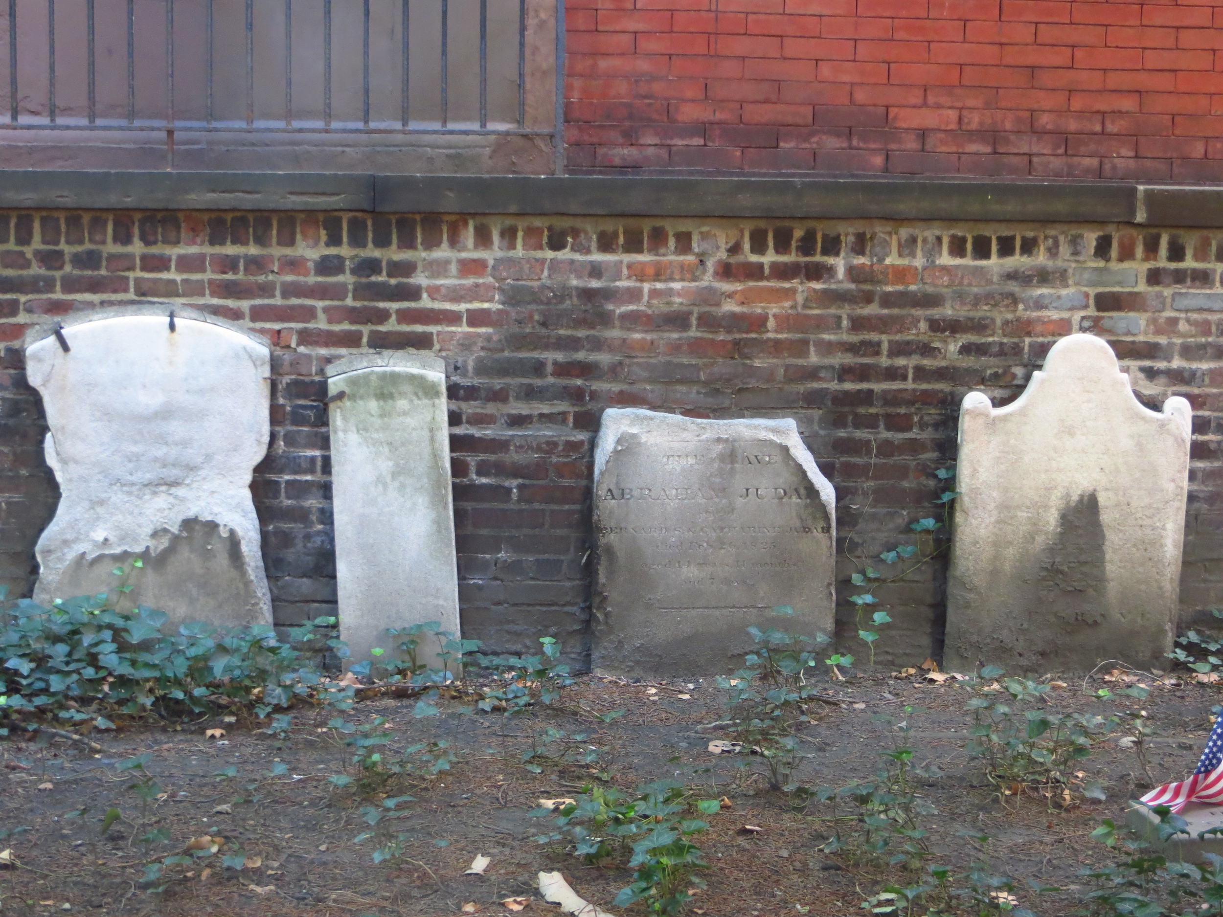
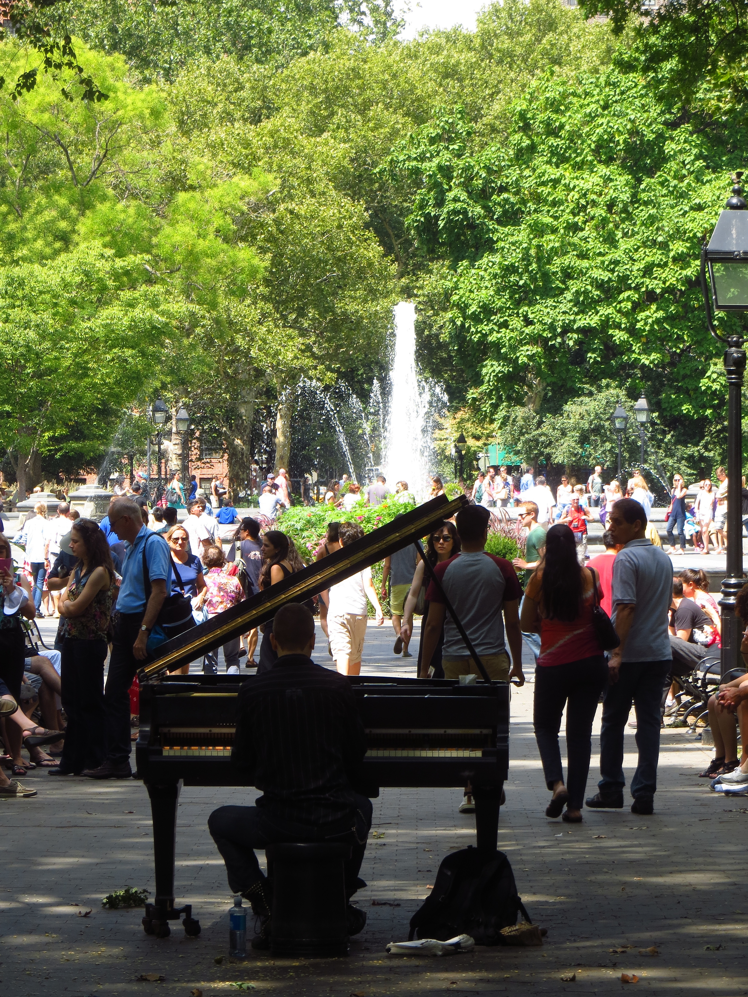
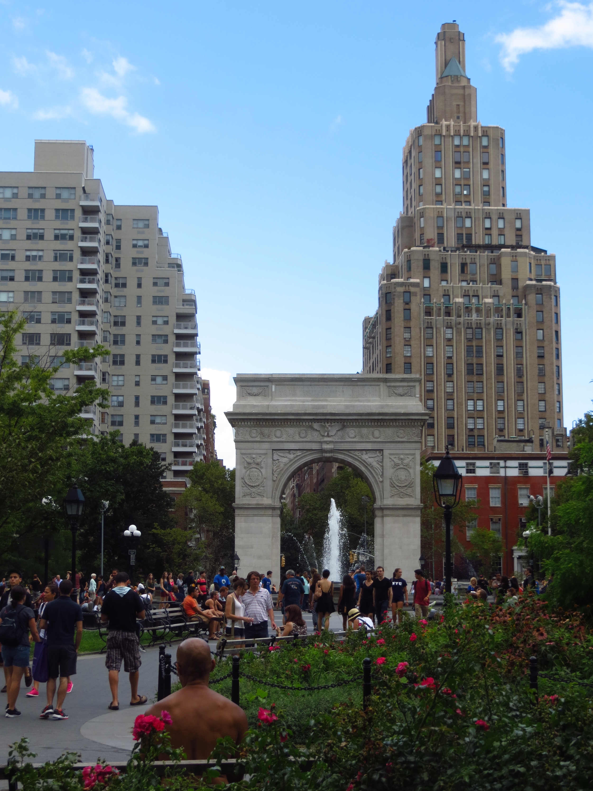
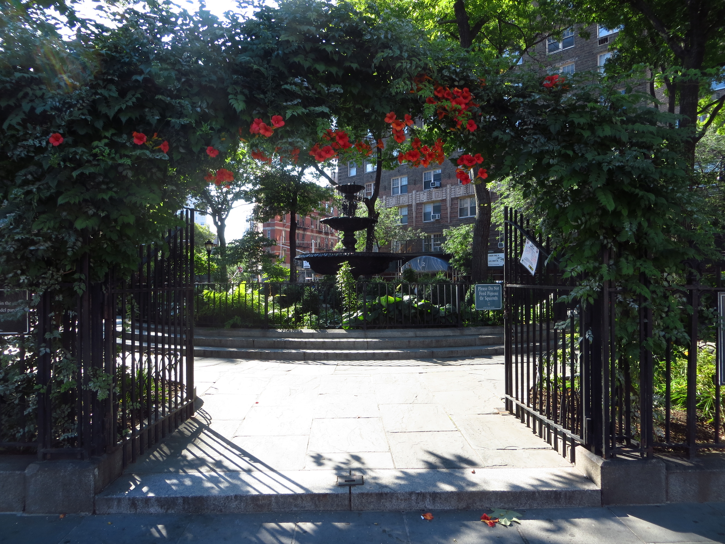
Washington Square Park is built on a mass grave from the early 1800's.  When indigent or yellow fever-infected folks in old New York died, they buried them here (somewhere around 20,000 in all).  Neat-o! It was turned into a park around 1850 and in 1892 a marble arch honoring George Washington (designed by famous architect Stanford White) was erected at the north entrance where Fifth Avenue begins.  In the 1950's/60's the park's iconic fountain was a favorite hangout of beatniks and folksingers, and today there are always a number of musicians and other entertainers (actors, puppeteers, etc.) performing.  It's just generally a cool place to hang out and people watch on a sunny day.

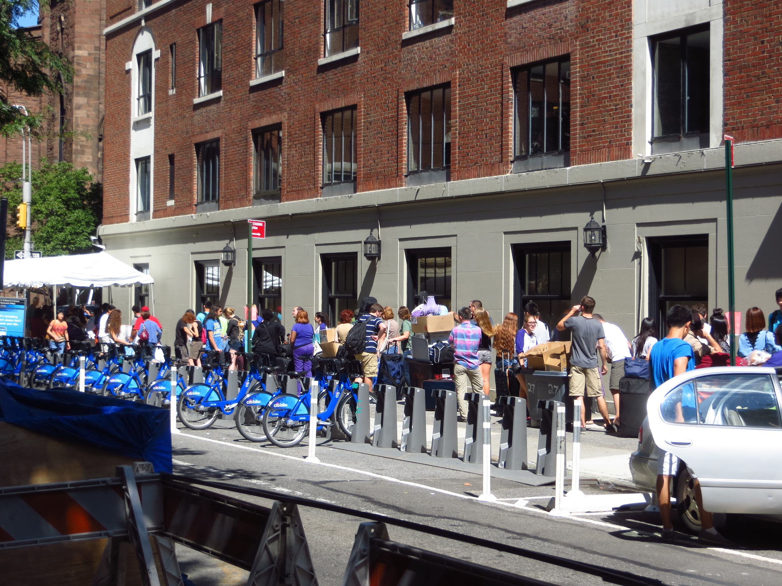
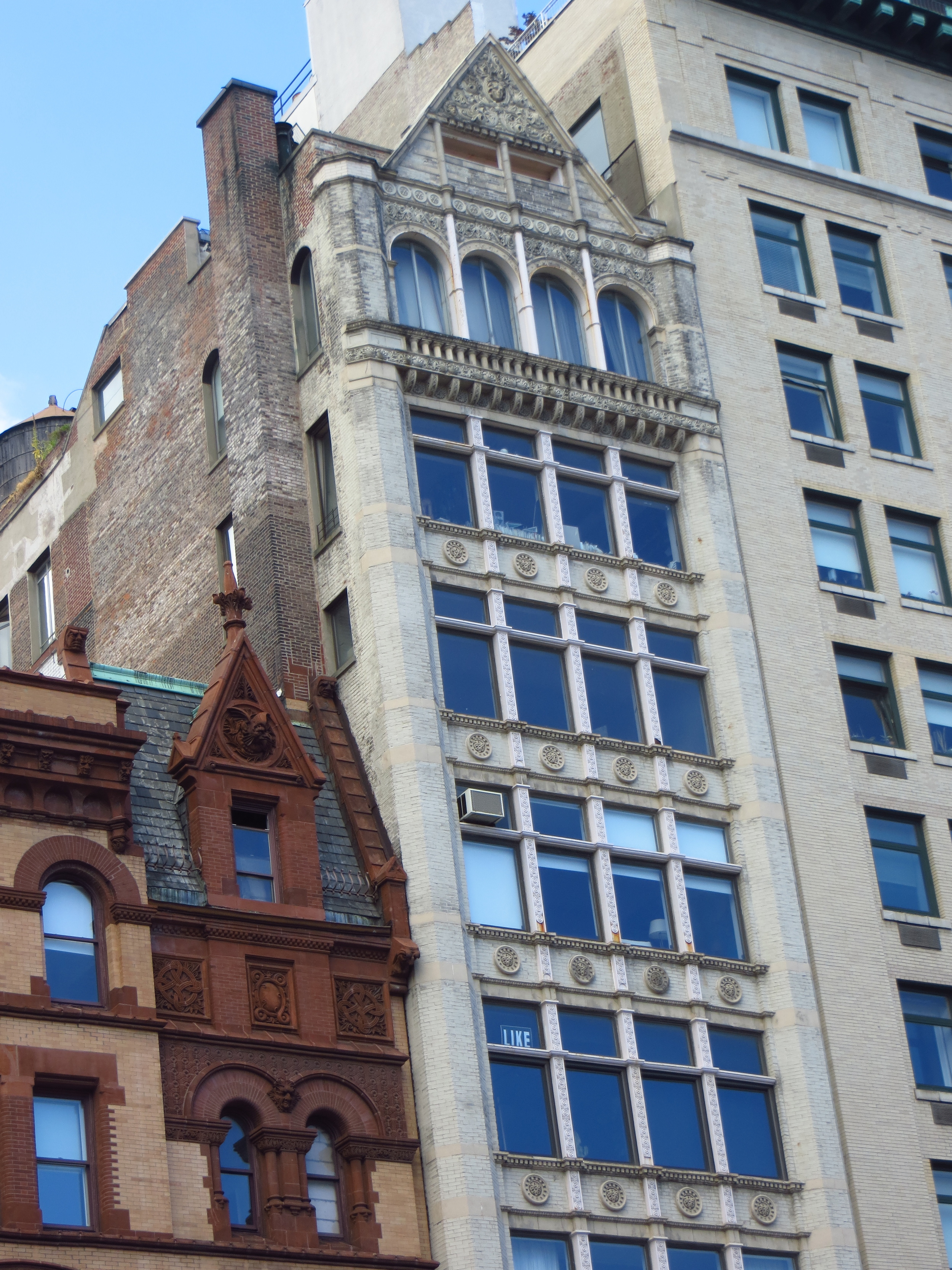
On to New York University ("NYU").  You probably know Albert Gallatin best as the Secretary of the Treasury under Thomas Jefferson and James Madison and second best as the namesake of a scenic Montana river.  He also founded NYU in 1831 and served as it's first president.  NYU is less a notable landmark than it is a theme of the neighborhood.  The campus is made up of several scattered buildings most highly concentrated around Washington Square.  There's no common architectural theme other than the big purple NYU flags hanging out front.  I happened to be walking by on freshmen move-in day, which was interesting because it was the only way that you would know that many of the buildings were student housing.

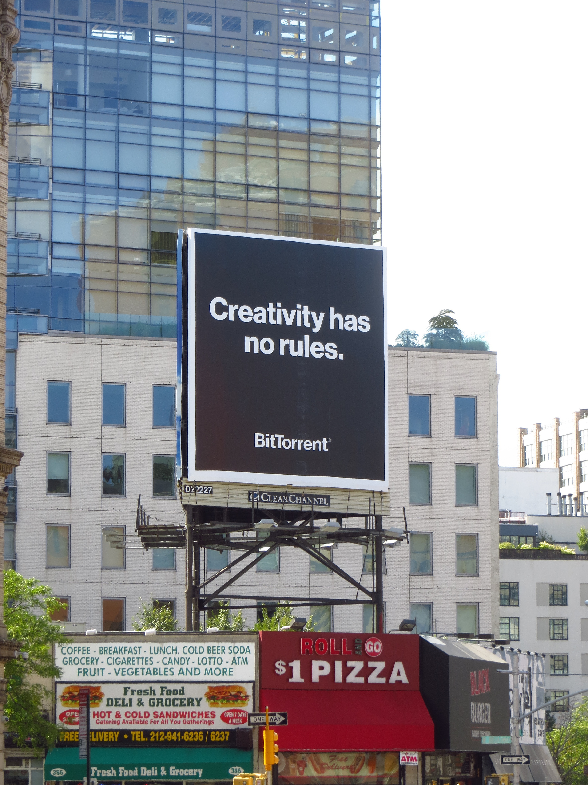
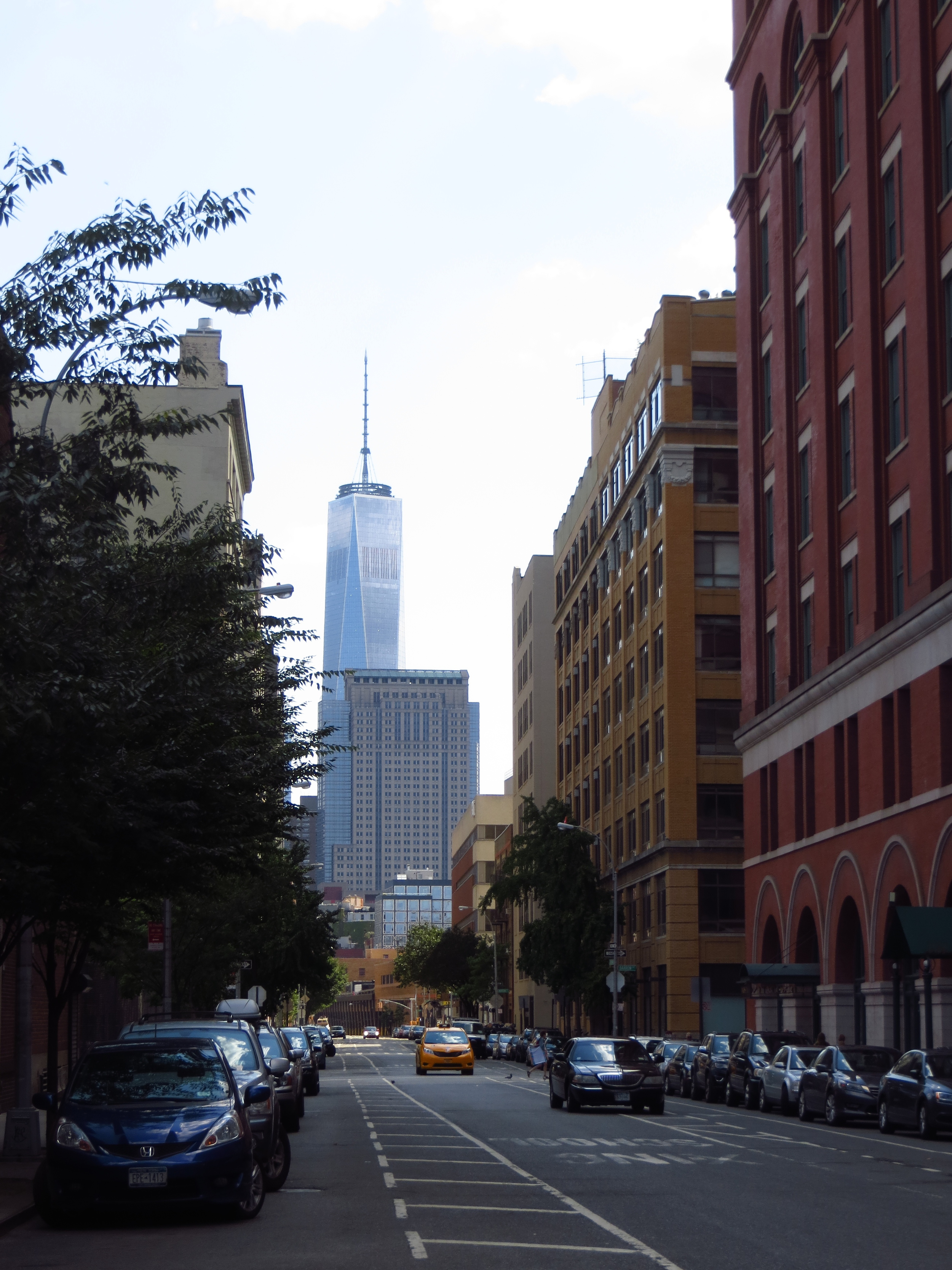
SoHo (and some other stuff)
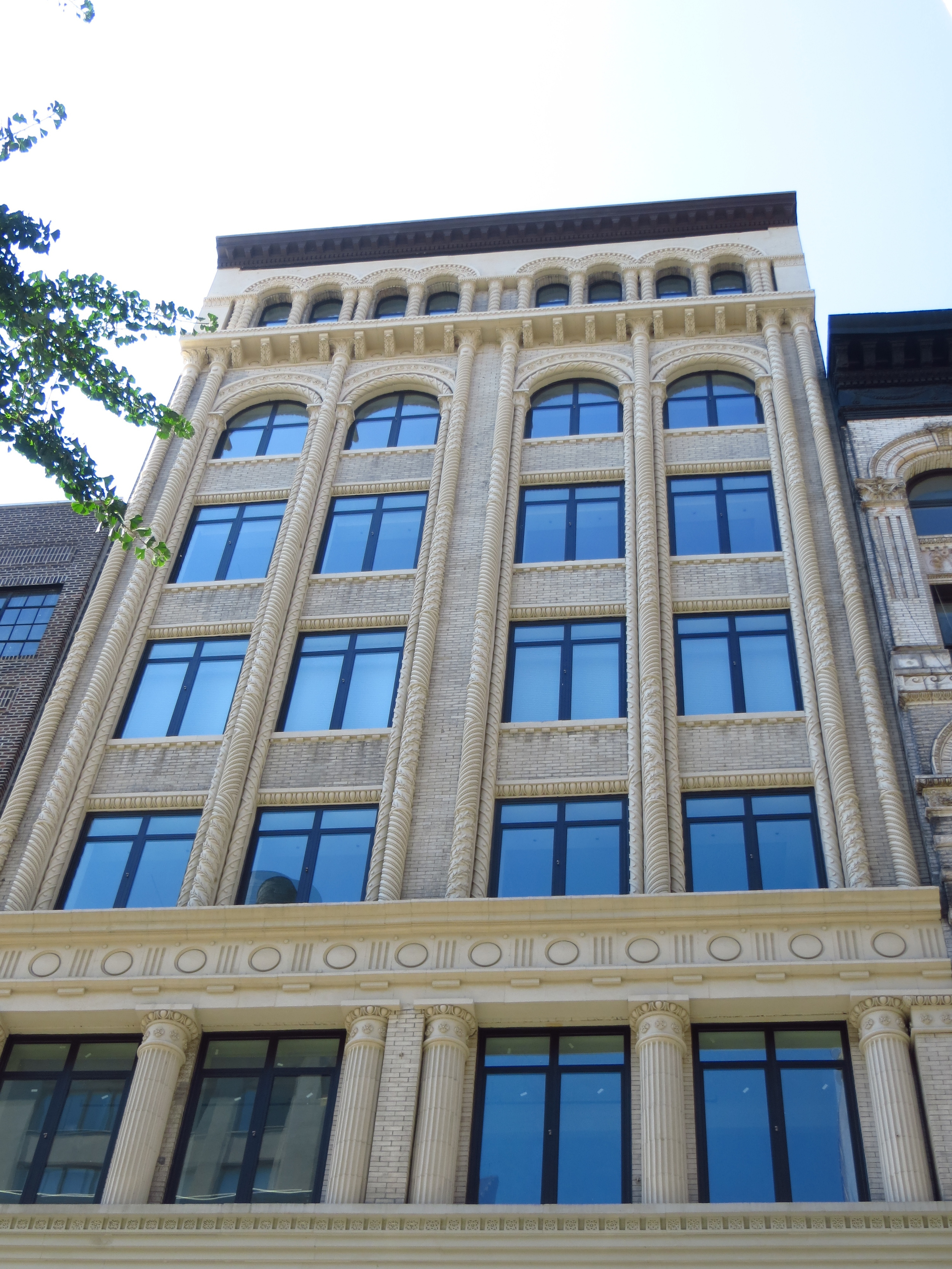
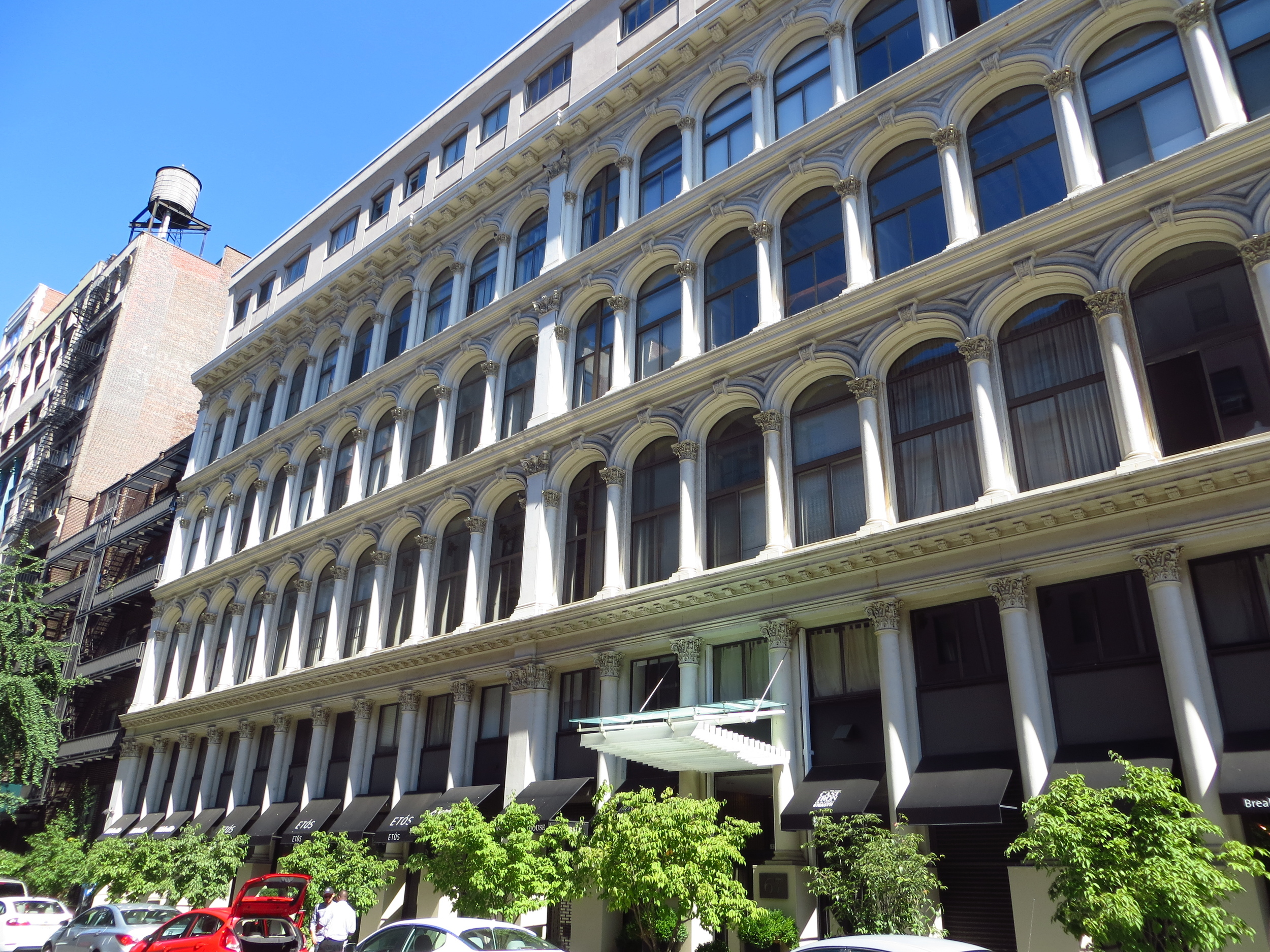
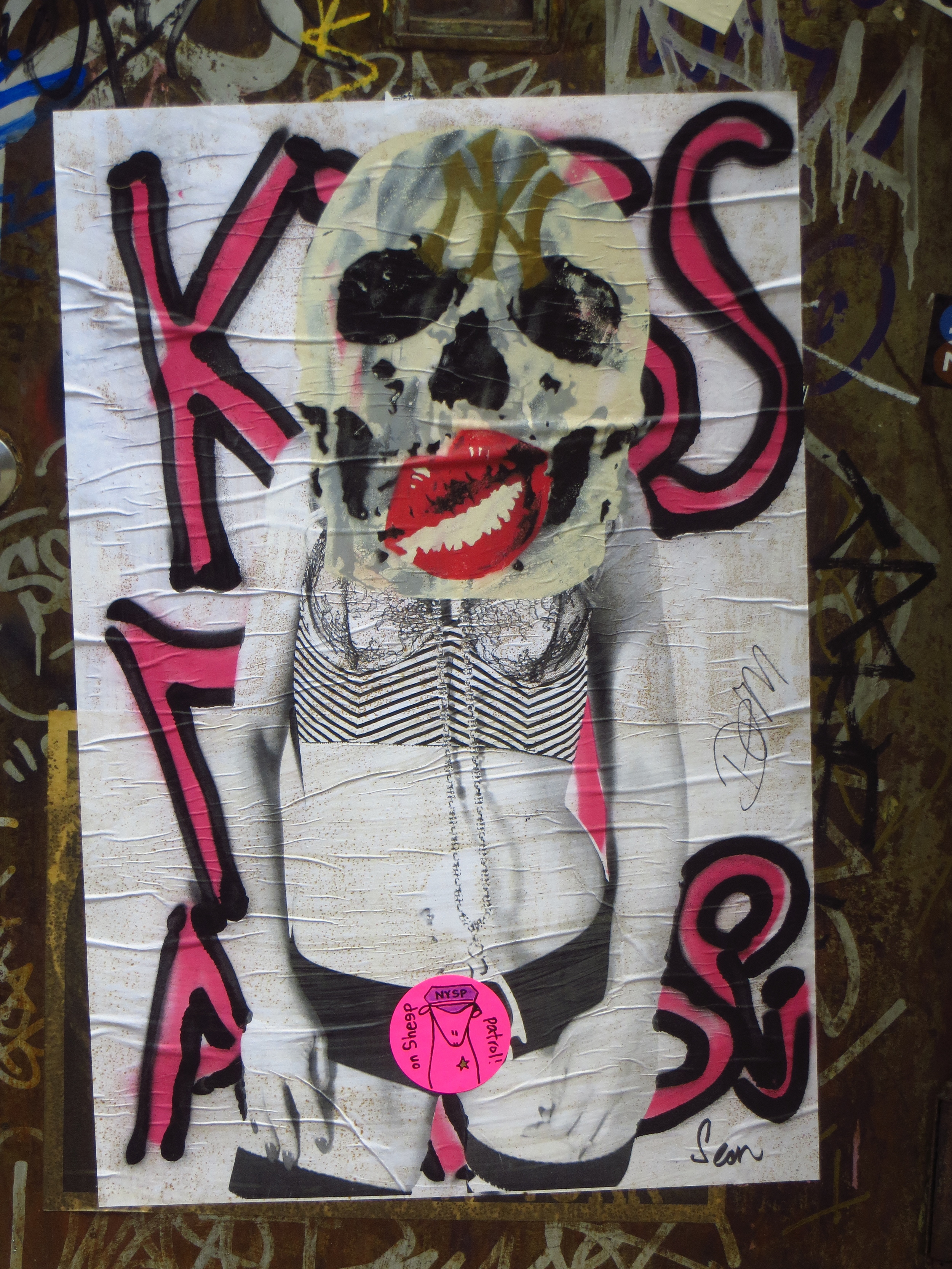
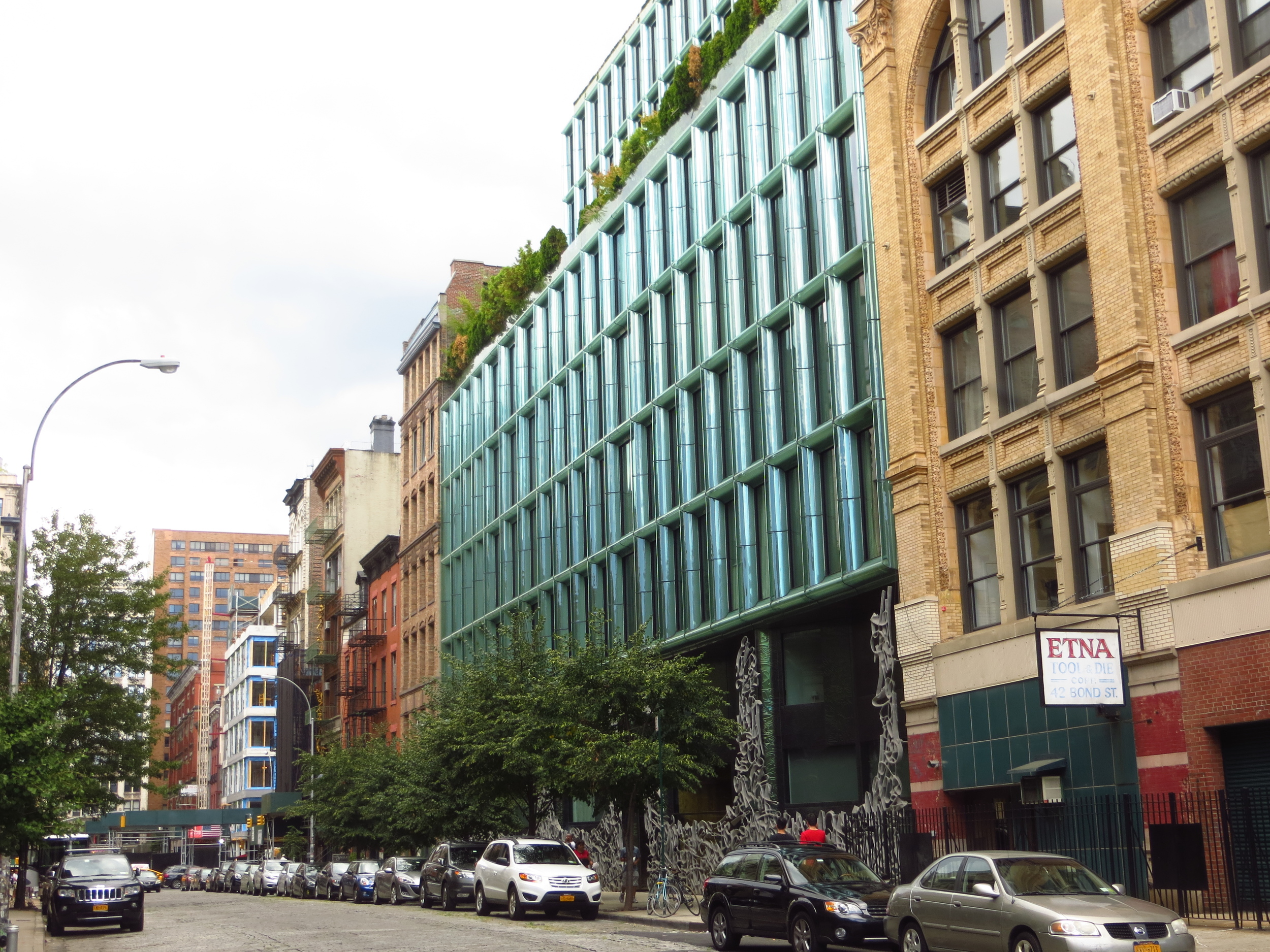
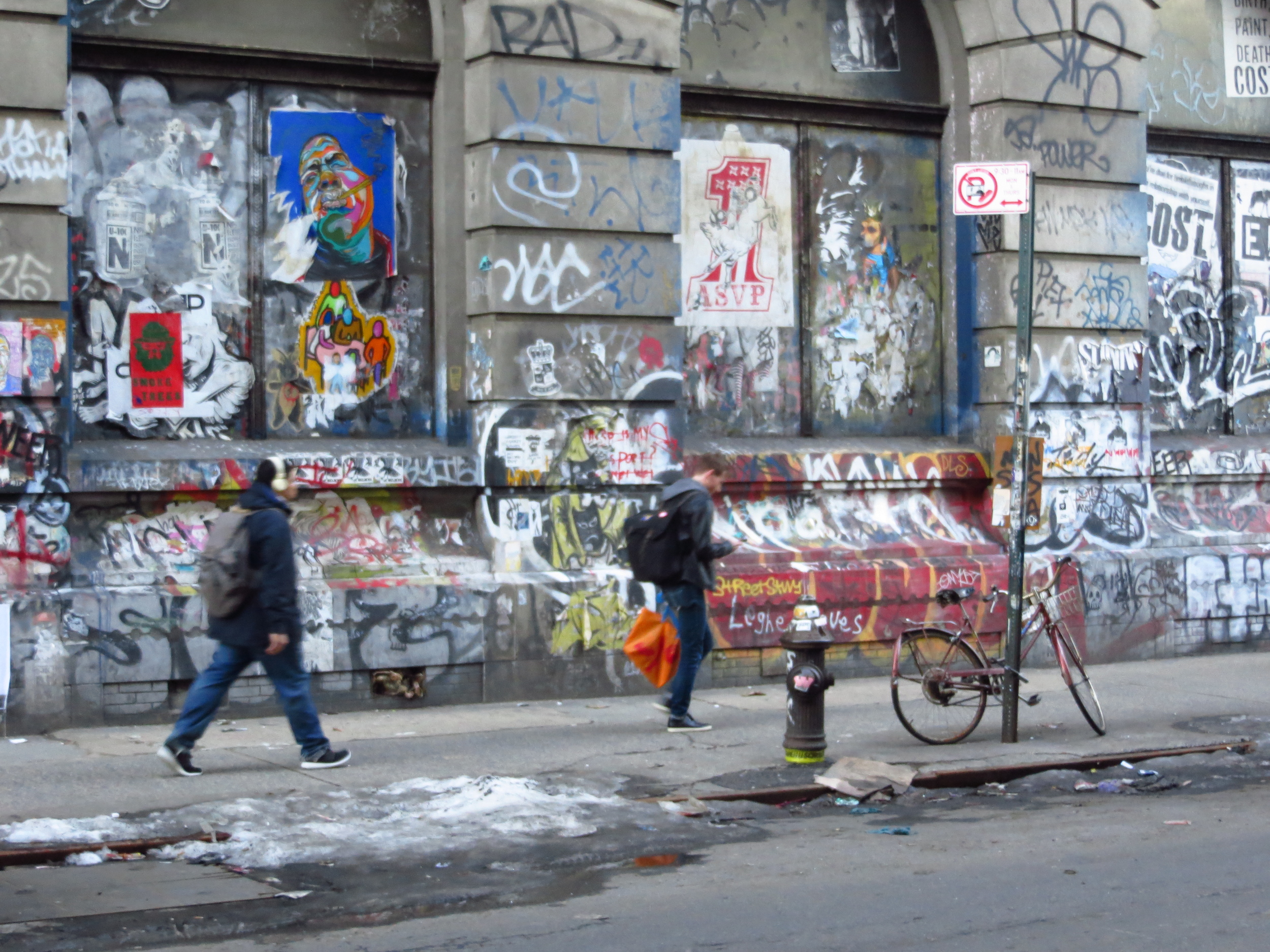
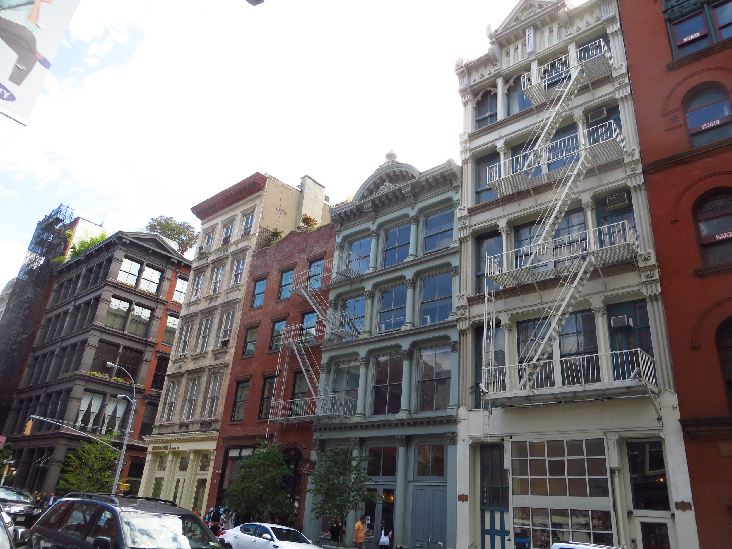
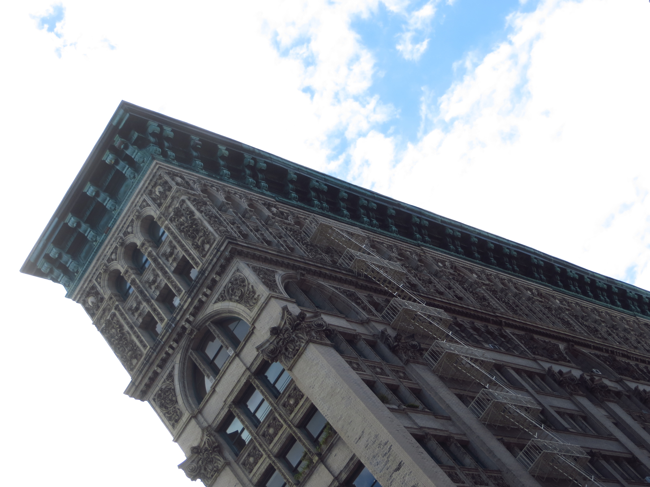
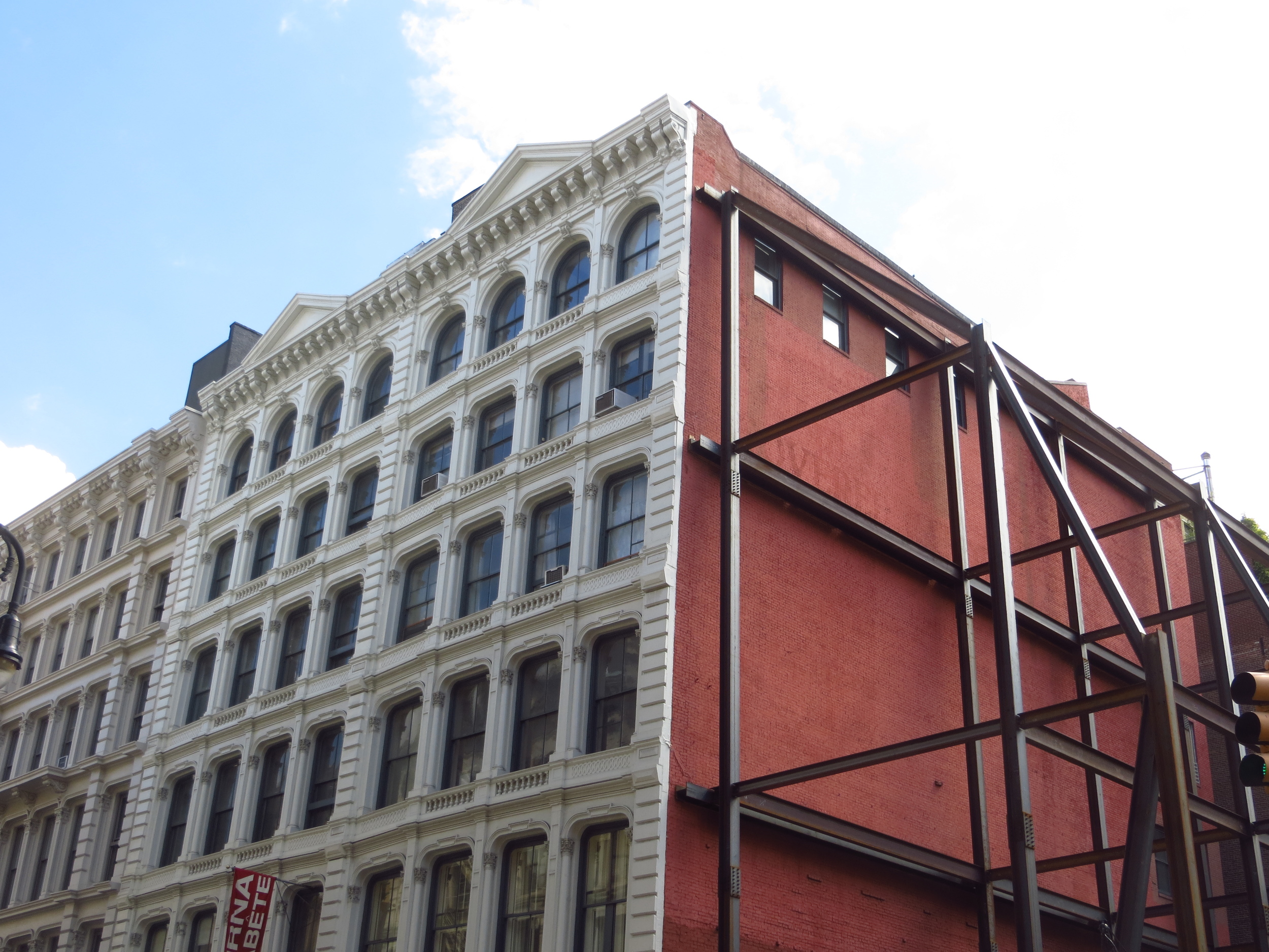
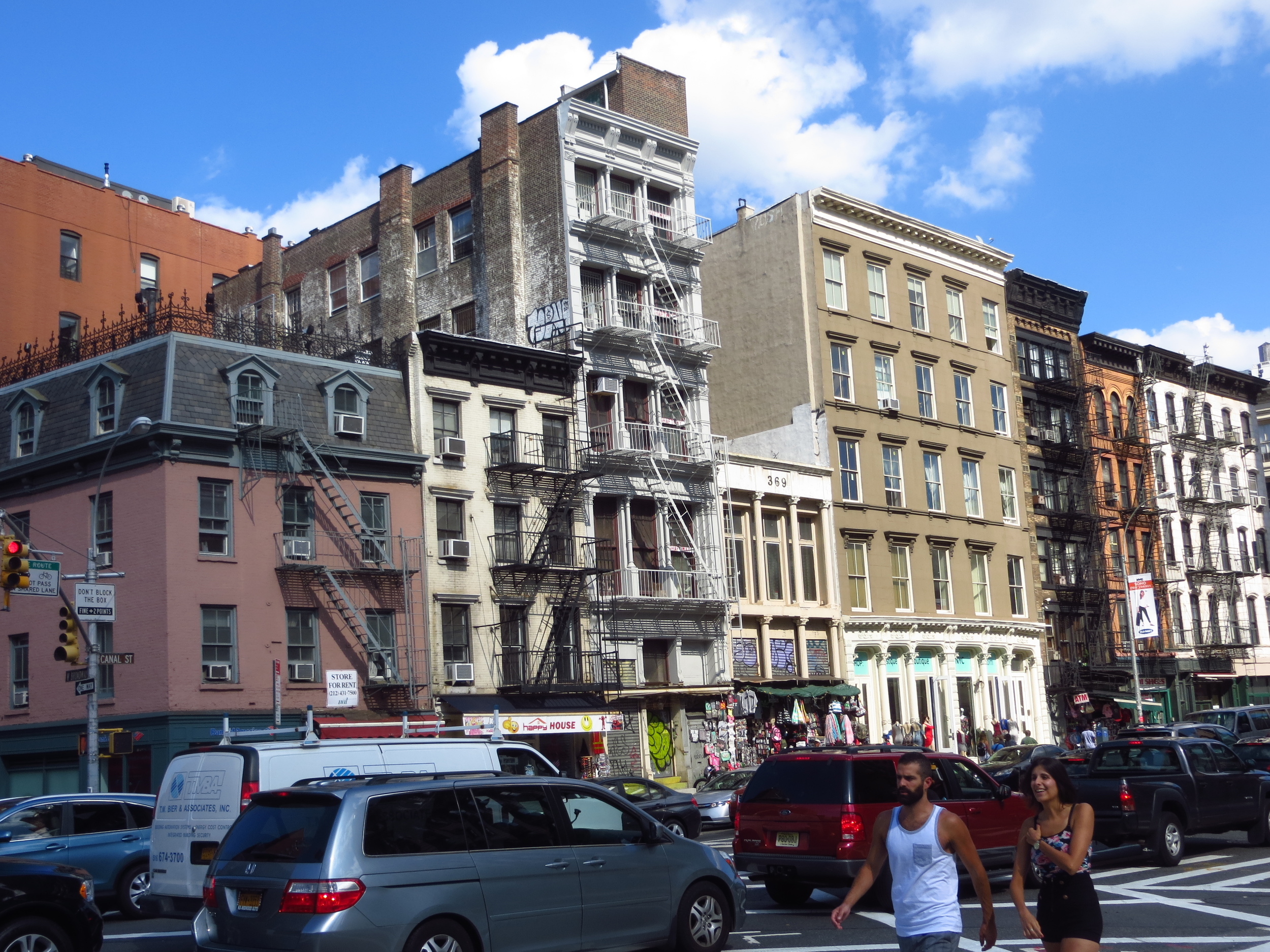
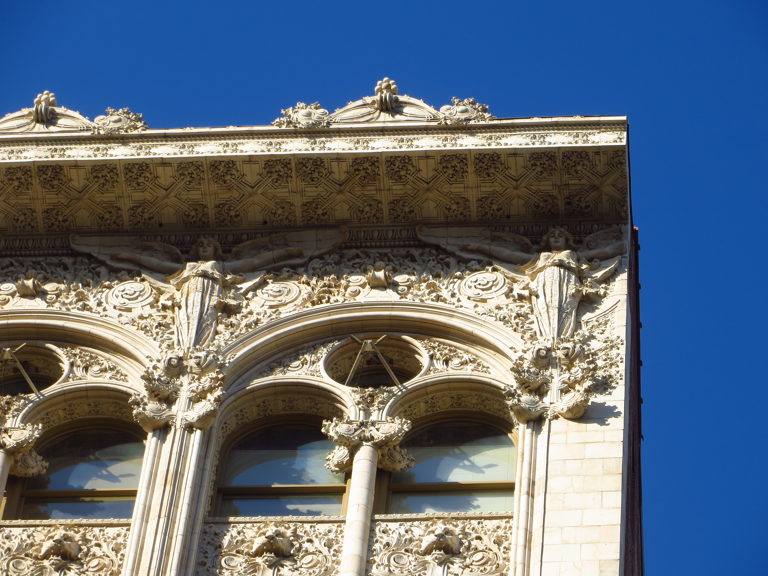
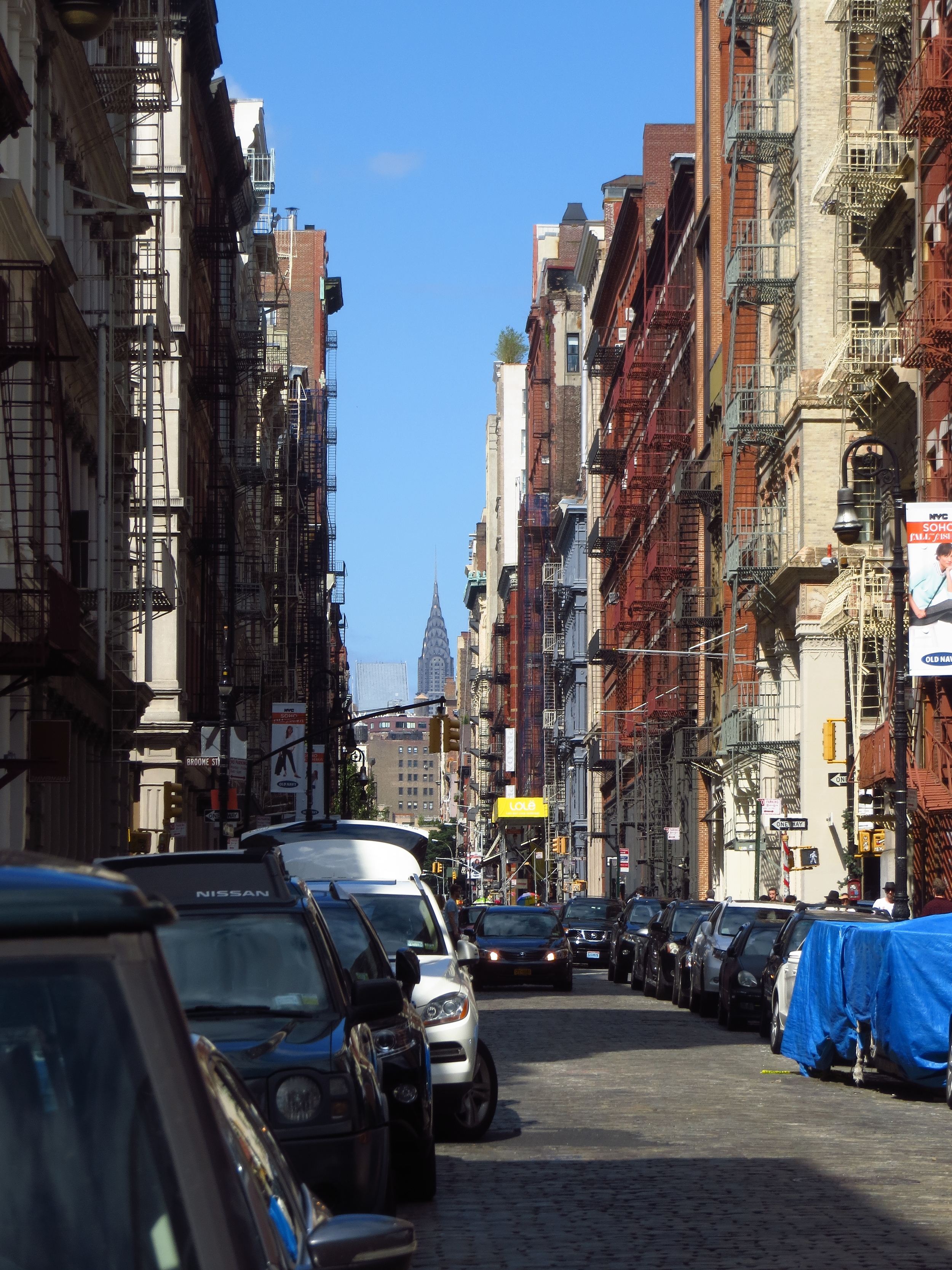
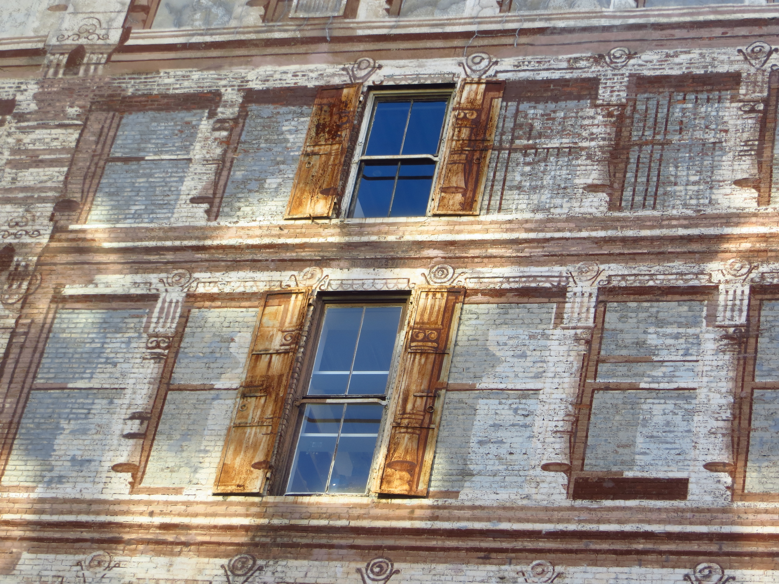
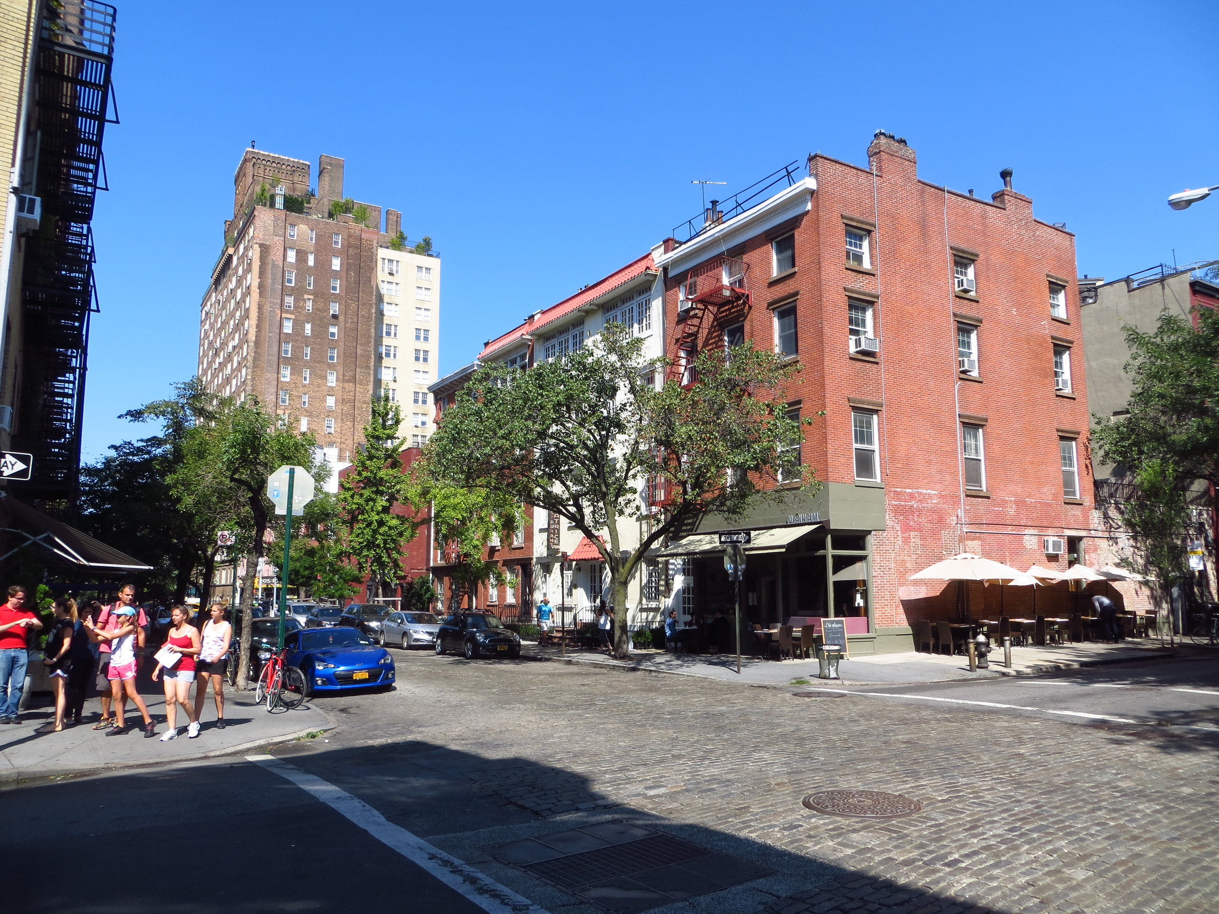
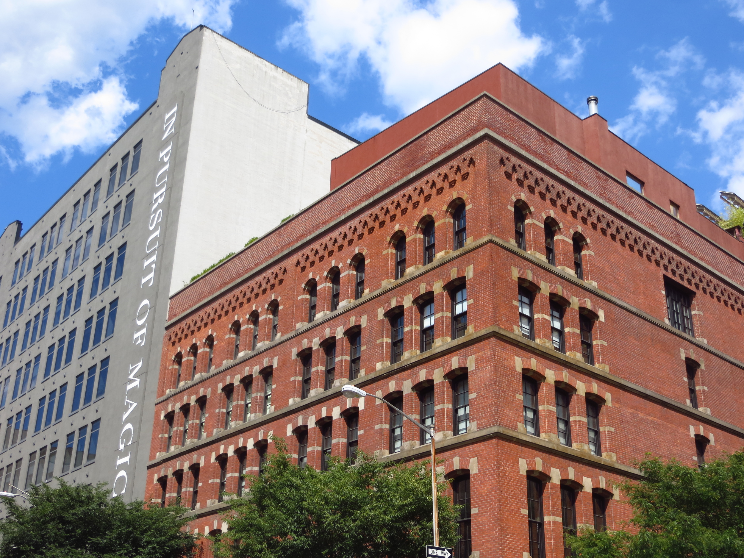
The name SoHo refers to the area being "SOuth of HOuston".  However, I think this description is overly broad, since the district technically ends at Canal St. to the south and is only nine blocks wide (6th Ave. - Crosby St.).  SoHo-NoCan-EaSix-WeCro is a mouthful though.  Anyway, SoHo is known for its boutique shopping and 19th century cast-iron architecture.  It's a nice area, but it gets crowded on weekends and I'm pretty sure everyone there is judging me.

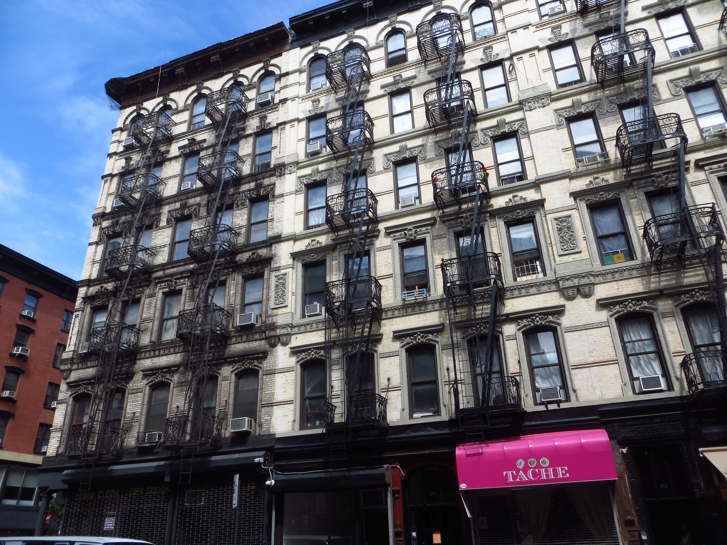
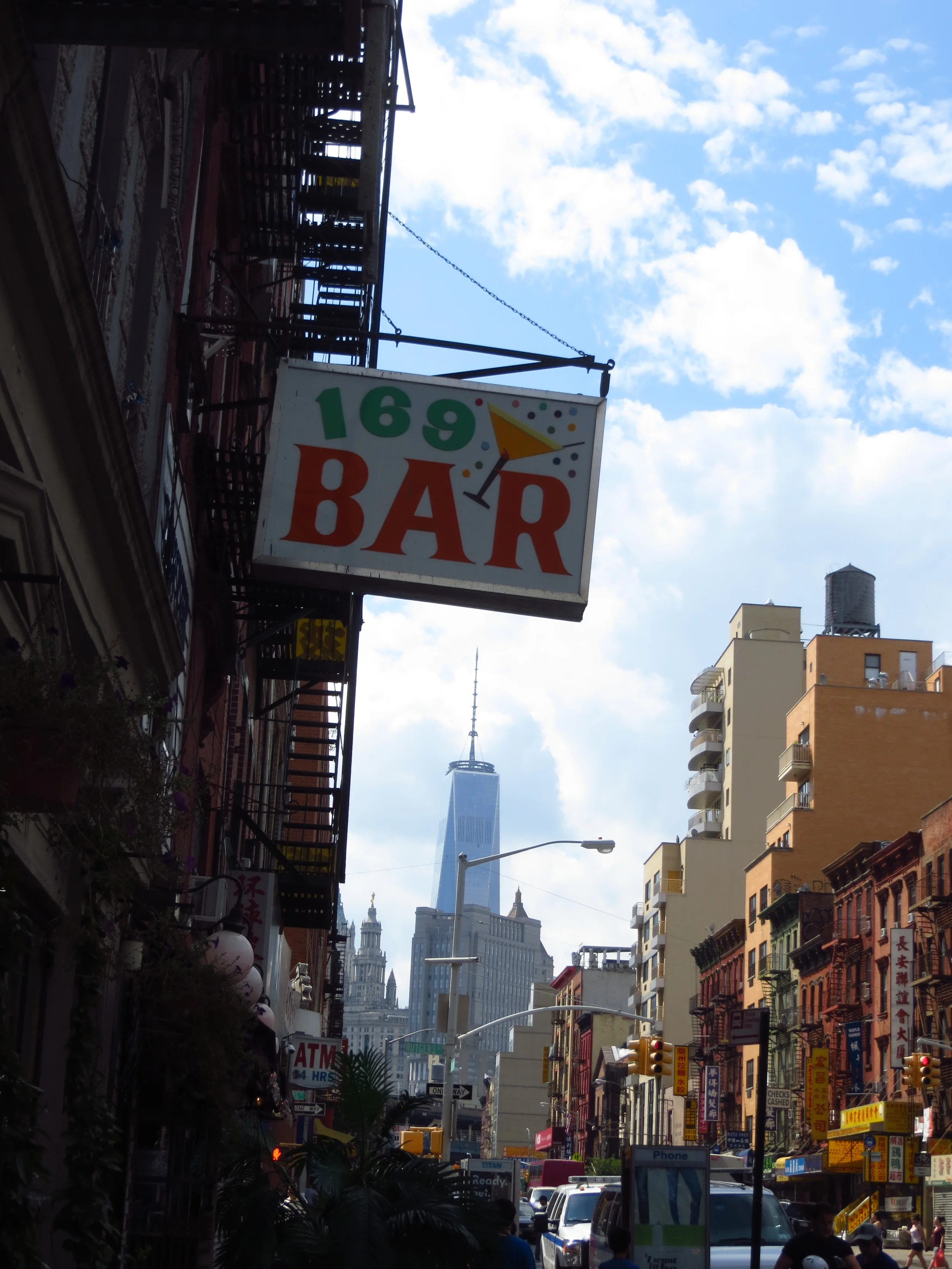
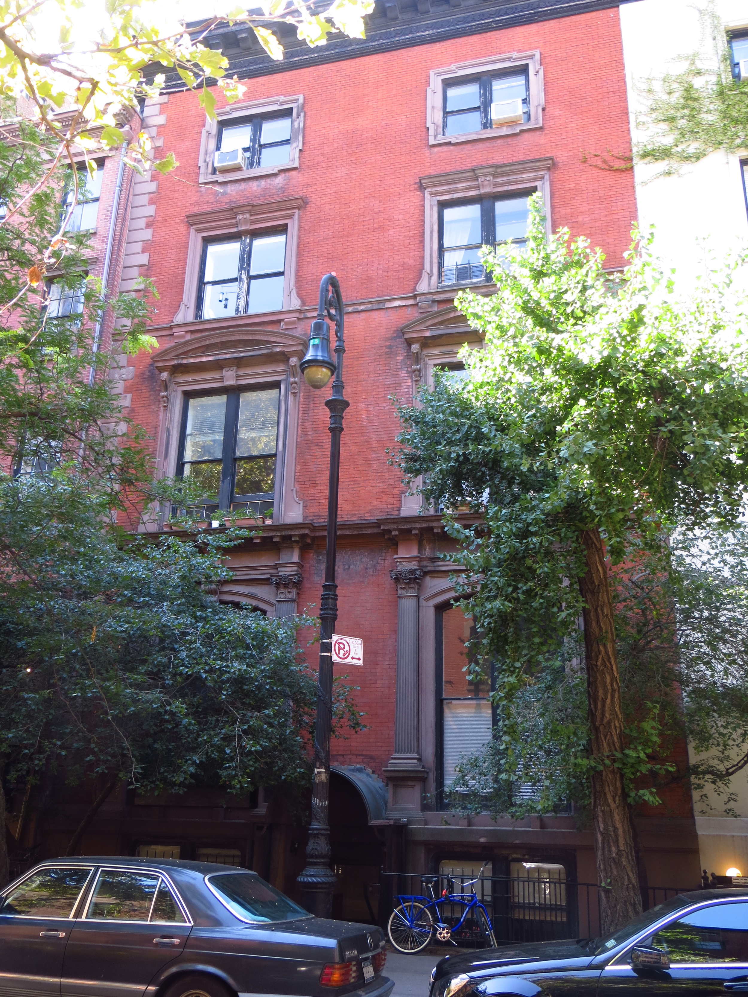
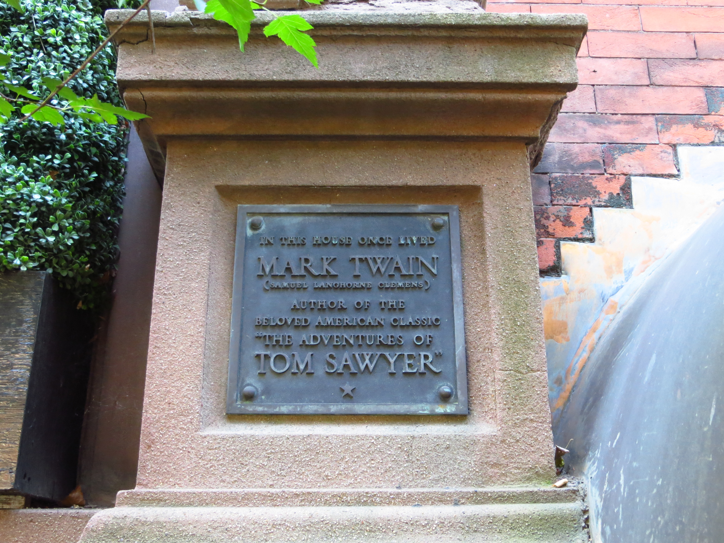
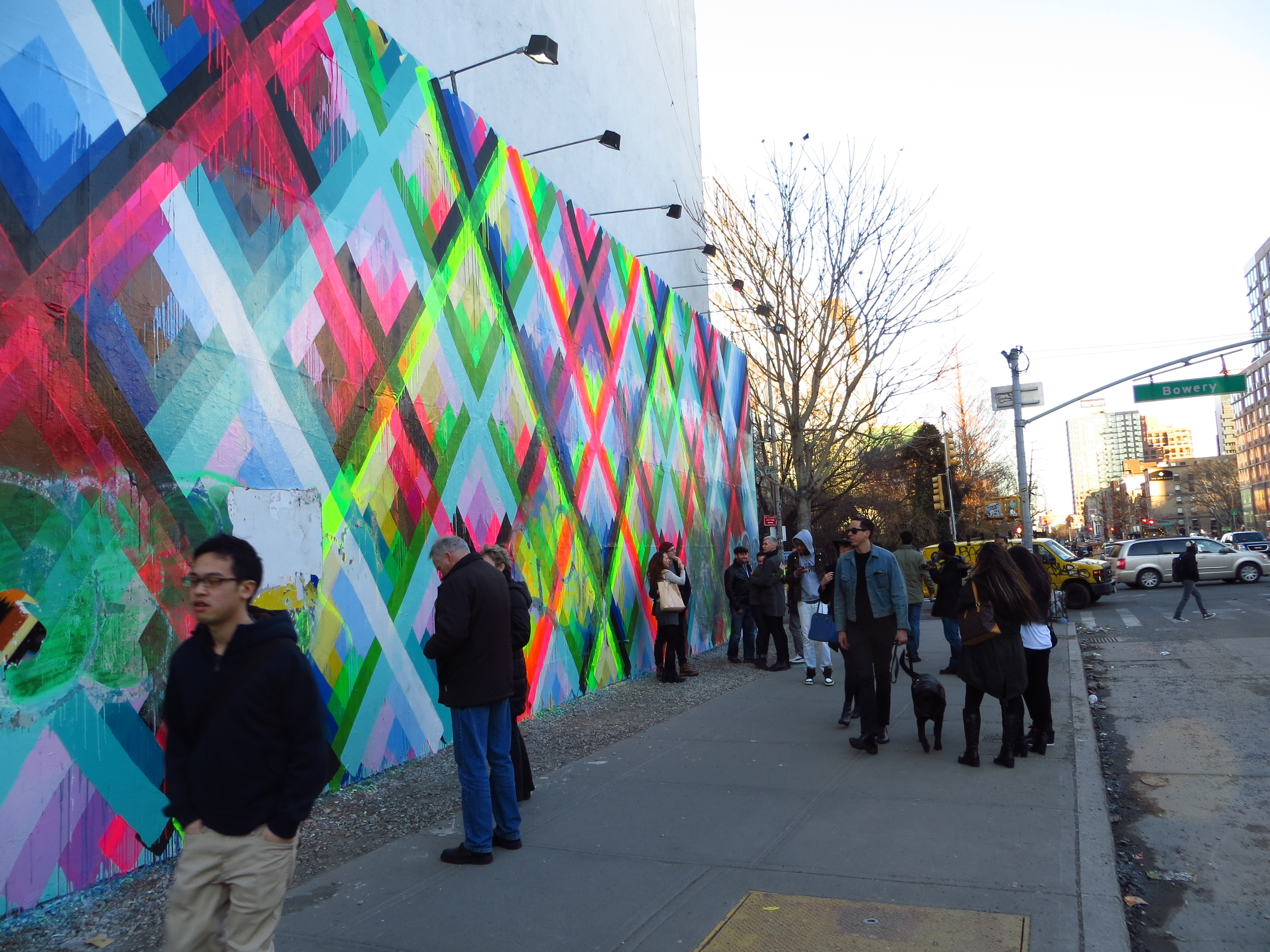
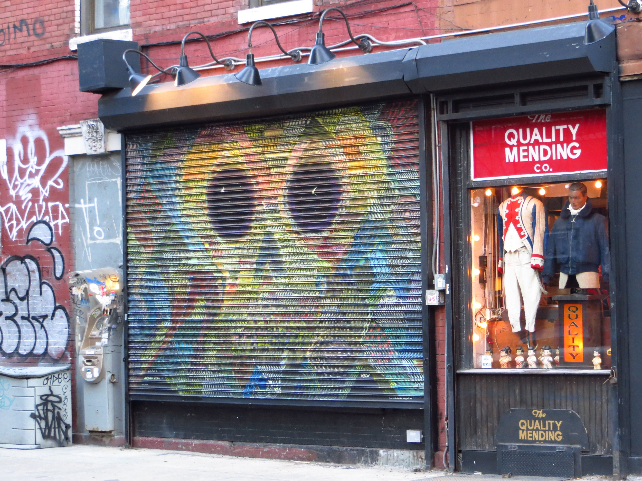
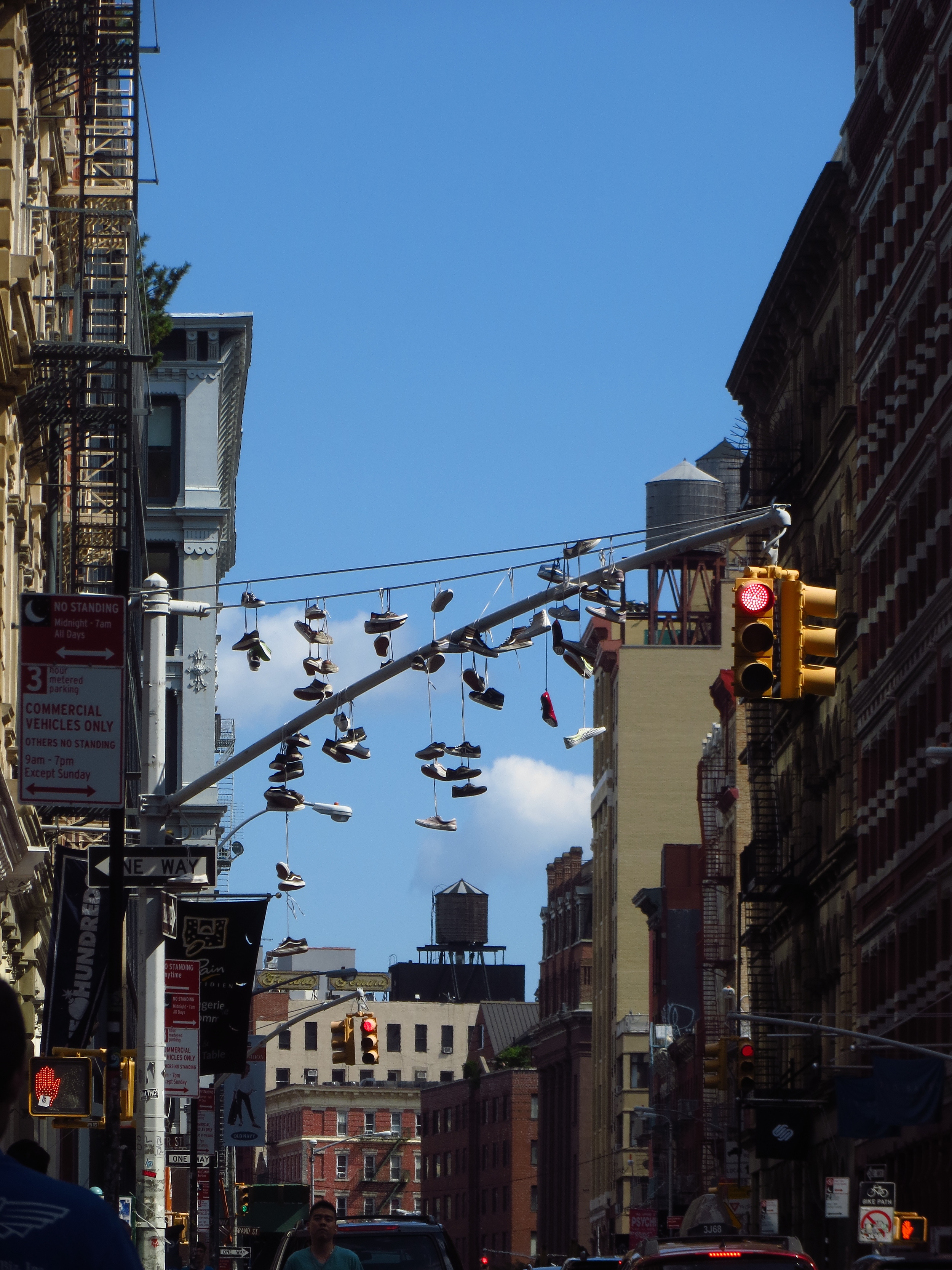
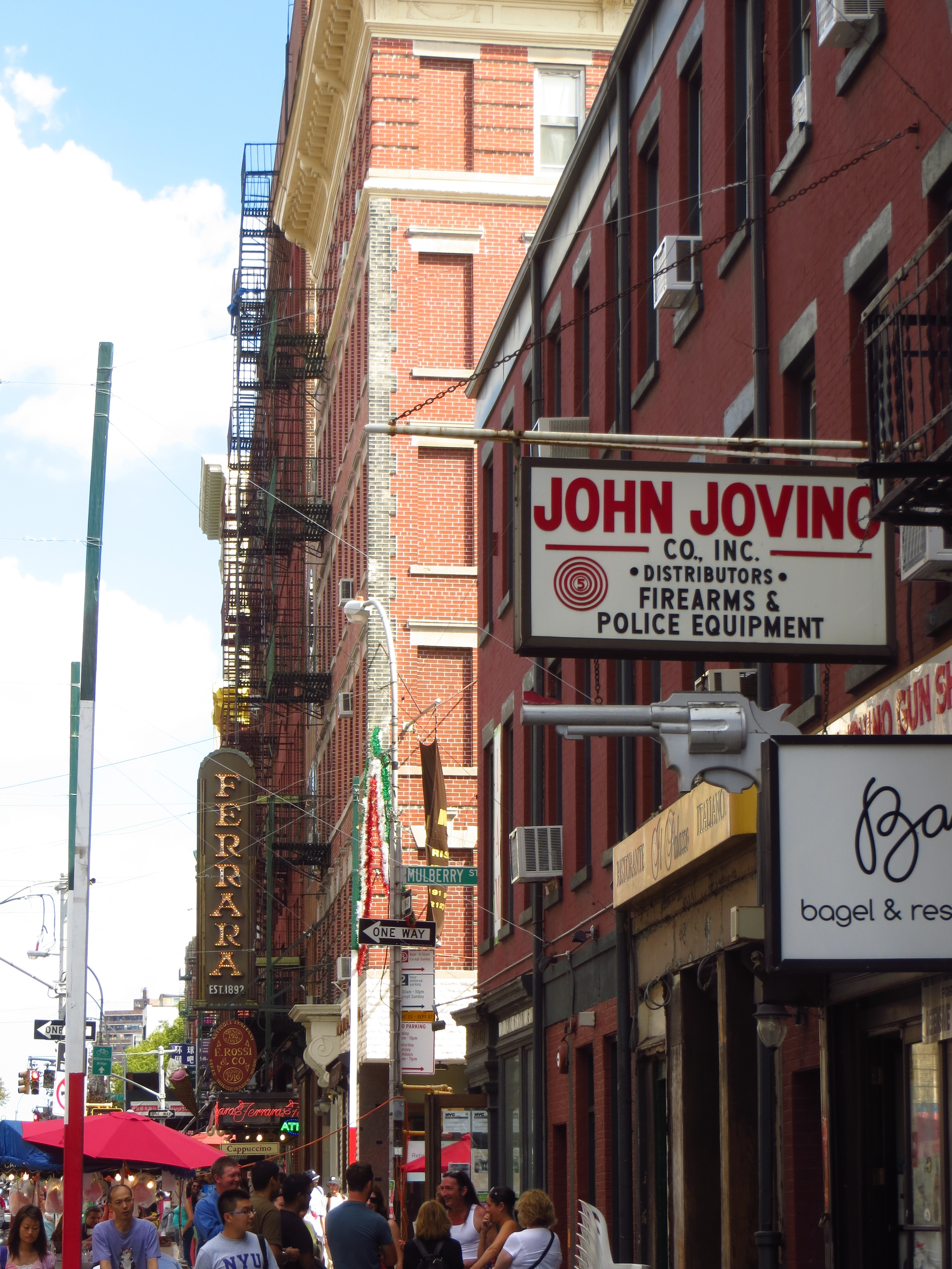
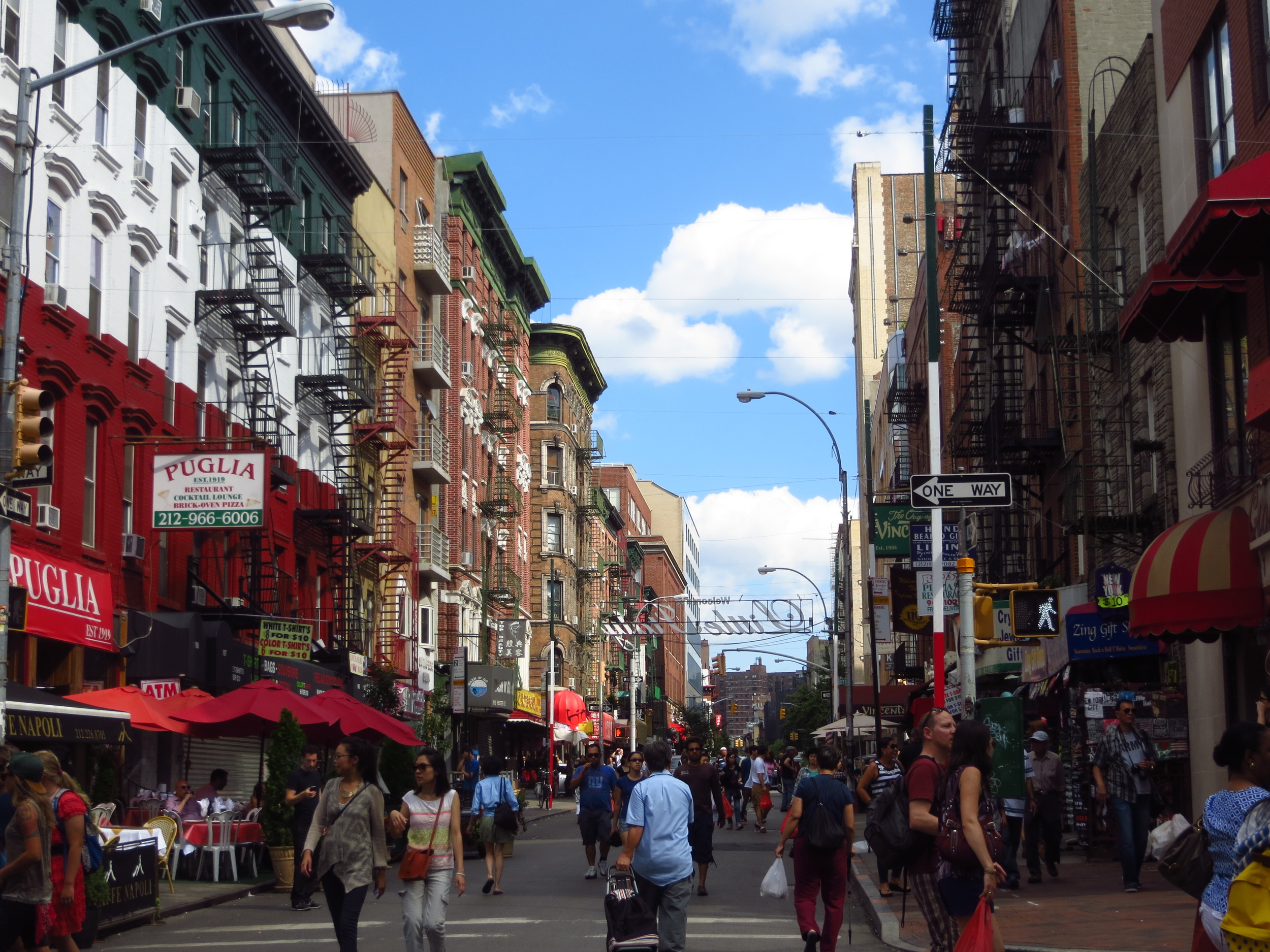
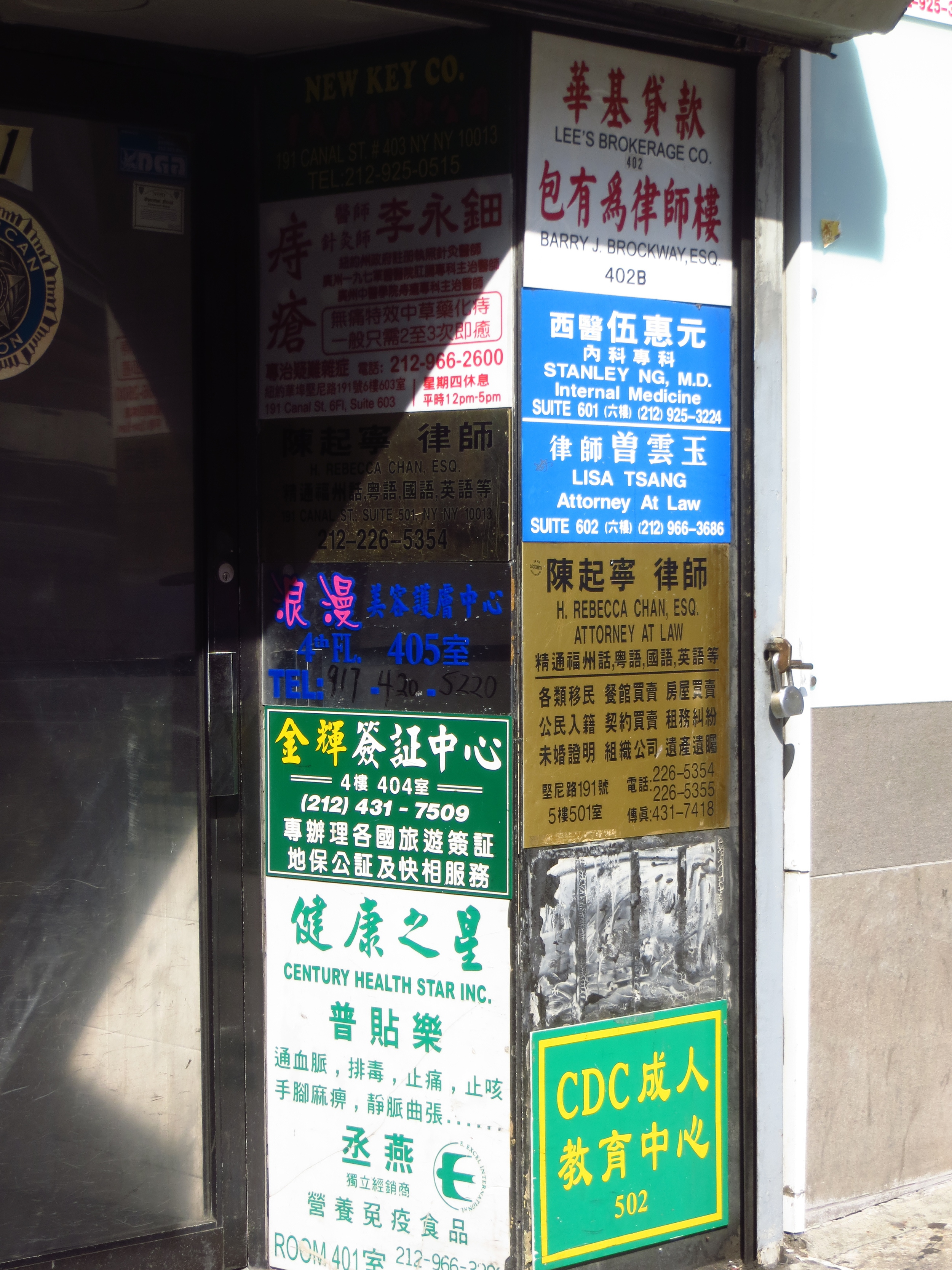
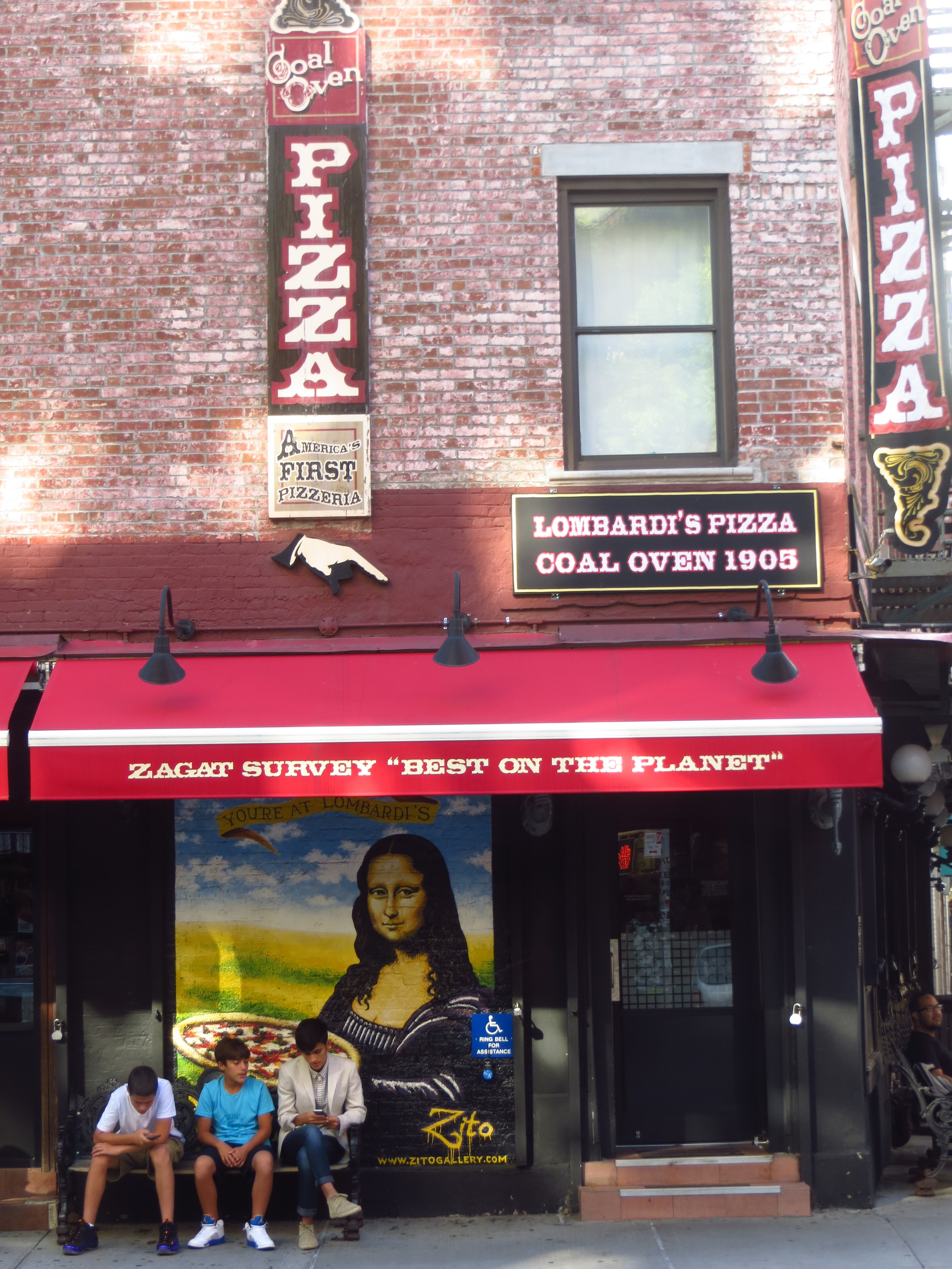
I also walked through Little Italy and NoLIta ("NOrth of Little ITAly"), which are bordered by Houston and Canal to the north and south and Crosby and Bowery to the east and west (Broome St. is usually regarded as the division between Little Italy and NoLIta).  Today the neighborhood has lost a lot of its (and I can't believe that I'm about to use this word) "authenticity" (*cringe*).  I only mean that in the sense that, while there are a bunch of Italian restaurants and flags, it's no longer home to a significant population of Italian people.  It's really more of a tourist draw than anything else, but there are more offensively tacky and just plain terrible places in this town (*cough*TIMESSQUARE*cough*), so I won't complain.

West Village

I think I successfully walked every street in the West Village today (about 14 miles).

Today's walk (everything inside the lines)

Today's walk (everything inside the lines)

West Village is very disorienting.  As you can kind of see from the map above, the streets of the are set a about a 45 degree angle to the rest of the Manhattan grid.  Additionally, most of the streets are named (not numbered), and the ones that are numbered don't necessarily make sense (like how W 4th St. intersects W. 13th St.). Thank God for Google Maps.

Instead of plagiarizing a bunch of stuff off of Wikipedia, I'll let this historical marker do my work for me.

INFO.JPG

Wasn't that easier?